all towns by county coastal deserts urban mountains countryside snow towns parks & forests cali maps
Advertisement


Destinations | Mountain

town.lebec

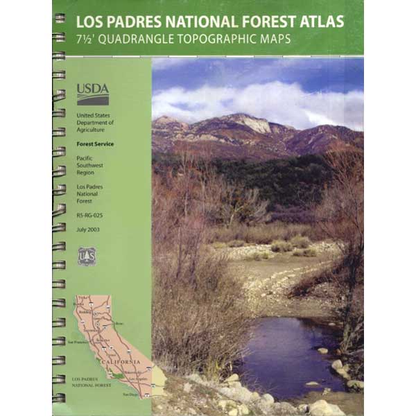
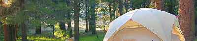
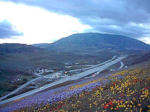
Finally got out to see this view at sunset. 4WD was not required on the steep rocky Edison Trail. No clouds, just warm summer breezes, as we looked over the truck stop glow & the busy freeway. Locals like to off road at night, so be warned. Campgrounds are plentiful in Los Padres National Forest. Drive on past Frazier Park and hang a left on to Lockwood Valley Road to search for campgrounds.

lebec, California

elevation: 3481'
population: 1,239
zip code: 93243

Mountain

mountain
terrain
:
rolling hills w/ grasslands & oaks; some pinyon pines; fault lines


View Larger Map

location:
Kern County
S of Bakersfield
on I-5, aka 'The Grapevine'

description:
Major interstate traffic corridor linking Southern California to the agricultural Central Valley. This mountain pass has always been a through route for travelers, pioneers, natives and now the Interstate 5. Four major regions merge here: the Mojave Desert, the Coastal Ranges, the Sierra Nevada & the lower San Joaquin Valley. Snow is possible here at Tejon Pass (elev. 4144') during winter months. Wildflowers bloom in spring March-April.

nearby towns
nearby towns:
Frazier Park
Gorman
Pine Mountain
Bakersfield
Santa Clarita
Green Valley
Gentle Jungle
Wildlife Trainer
661-248-6195
Mountain Enterprise
Local News, since 1966
661-245-3794
Red Dot Kitchen
Vegetarian Cafe
661-245-4733


Tejon California
Total Escape California Camping

Advertisement


California Weekends


Total Escape has been an AmazonAssociate for 20 years!
Earnings from purchases keeps this site alive.


Copyright © 1996-2024 Total Escape, totalescape.com / All Rights Reserved.

classic | lodge | recreation | destinations | journey | ads | sitemap | outside | maps | gear | mobile