all towns by county coastal deserts urban mountains countryside snow towns parks & forests cali maps
Advertisement


Destinations | Mountain

town.taylorsville

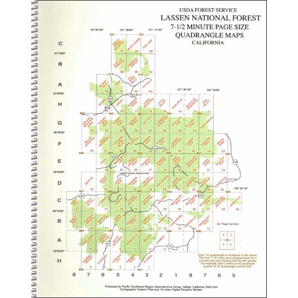
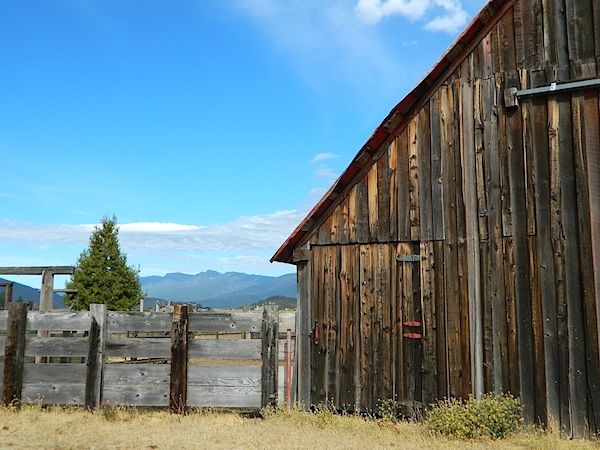
This town was affected by a recent wildfire where many homes were destroyed. The town was saved with heroic firefighting efforts. Rural ranches, idyllic mountain community on the south end of Indian Valley. North Sierra Nevada mountains. Historical, rustic life with sparse population.

taylorsville, California

elevation: 3545'
population: 317
zip code: 95983

Mountain

mountain
terrain
:
large mountain valley, with forested peaks; ranches and farming

location:
Plumas County
N of Quincy
E of Hwy 89

recreation

recreation:

  • biking & cycling
  • camping
  • hiking
  • lakes
  • mountain bike races
  • RV camping
  • rodeo
  • cattle country
  • historic structures
  • farming
  • parks, forests, rivers & lakes

    parks, forests, rivers & lakes:

  • Plumas National Forest
  • Taylorsville County Park
  • Lassen National Forest
  • Lake Almanor
  • Antelope Lake
  • Indian Valley Museum
  • description:
    Located on the south end of a large mountain valley (Indian Valley) with forested peaks, trails, roads surrounding. Arlington Road intersects Hwy 89, which leads east a few miles to a small intersection w/ post office, pie shop and general store. County park w/ tennis courts, bathrooms w/ showers, rodeo grounds, RV camping and a tent campground. Awesome location!

    nearby towns
    nearby towns:
    Lake Almanor
    Crescent Mills
    Greenville
    Quincy
    Westwood
    Chester


    Indian Valley - Plumas California
    Total Escape California Camping

    Advertisement


    California Weekends


    Total Escape has been an AmazonAssociate for 20 years!
    Earnings from purchases keeps this site alive.


    Copyright © 1996-2024 Total Escape, totalescape.com / All Rights Reserved.

    classic | lodge | recreation | destinations | journey | ads | sitemap | outside | maps | gear | mobile