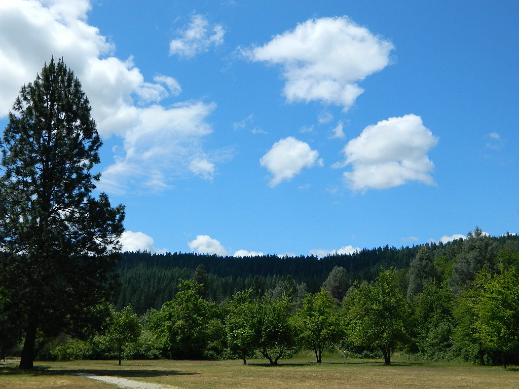
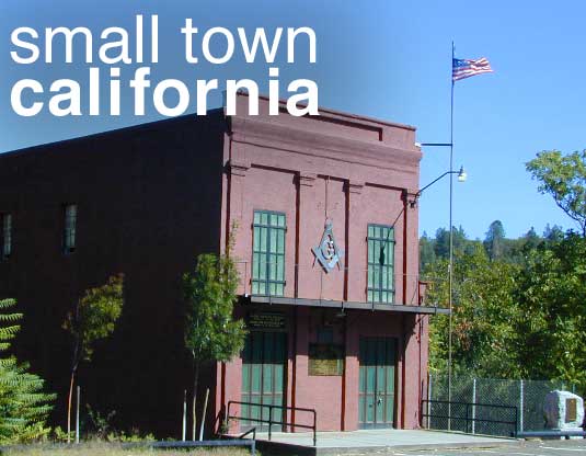
Don’t have any ideas on WHERE you want to go? Never heard of that little town? Follow our links below to explore a variety of California hidden secrets.
This whole web site is dedicated to finding new places to visit within California. Cheap, free, inexpensive options. We concentrate on the back roads, rural areas and park lands. More space, more nature, less people.
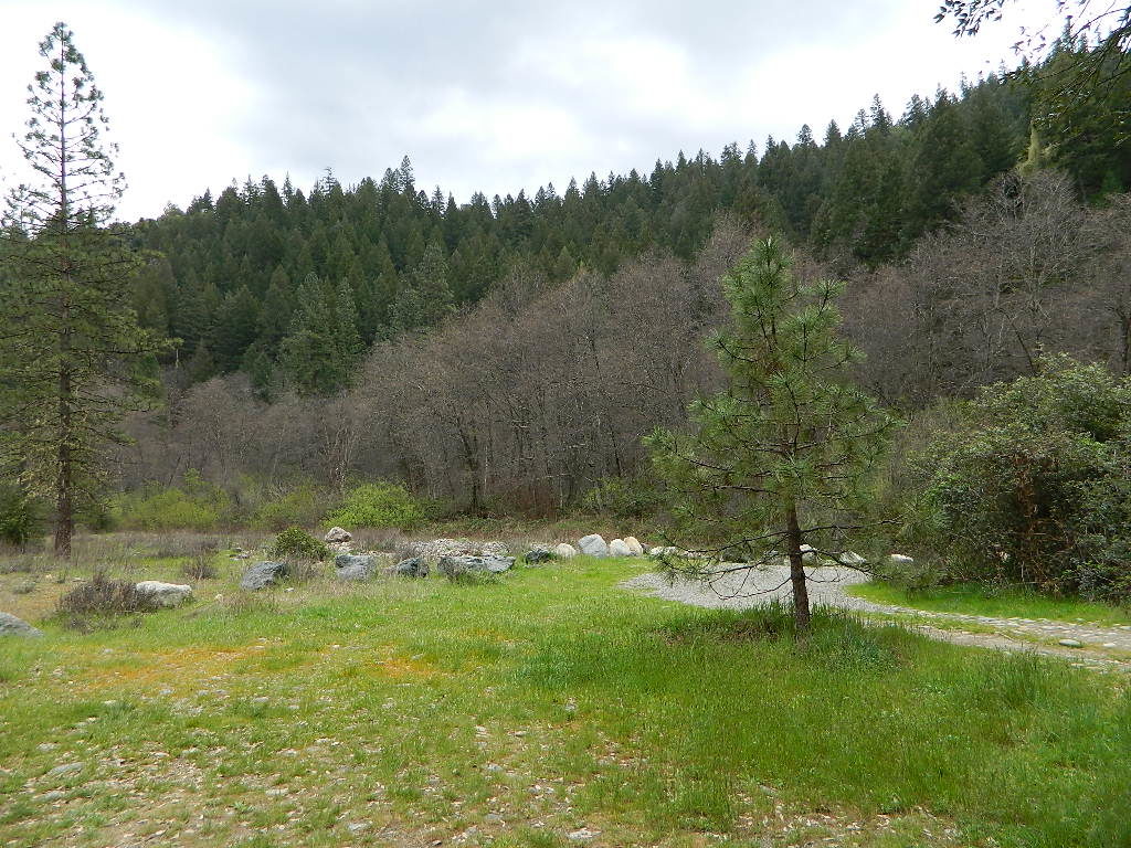
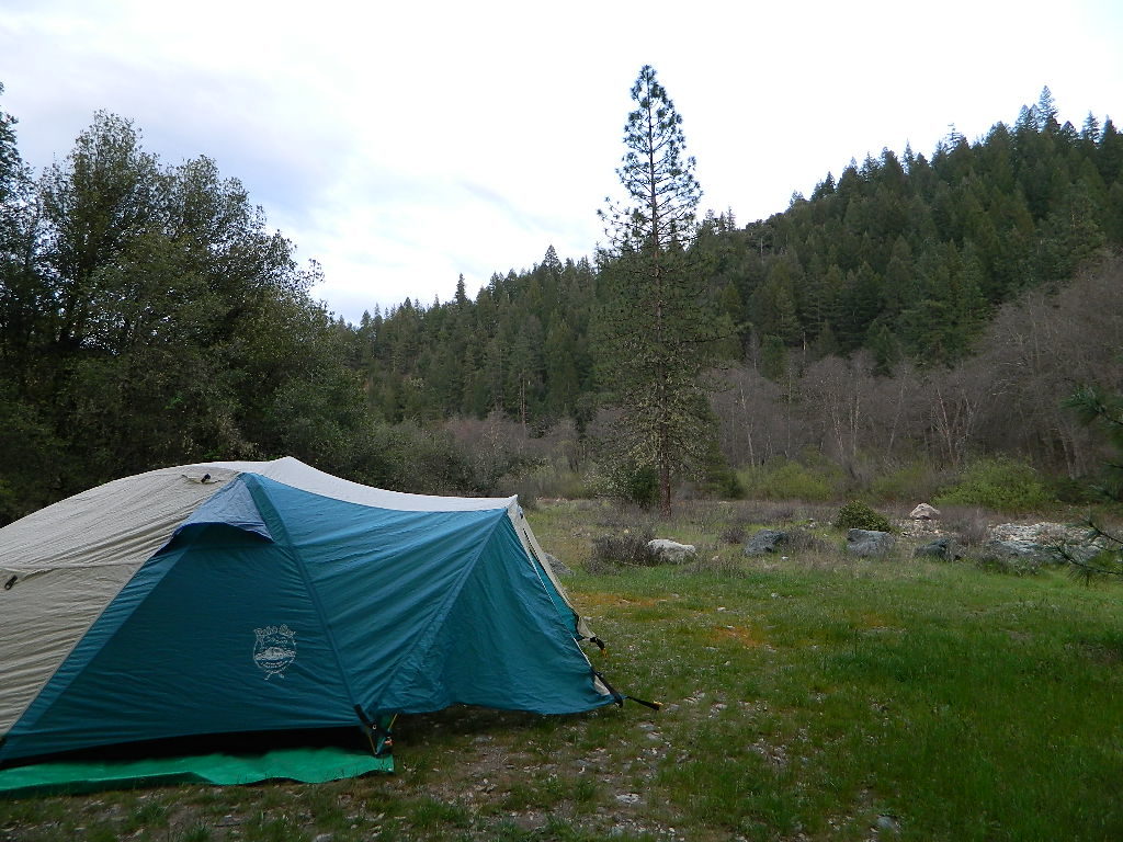
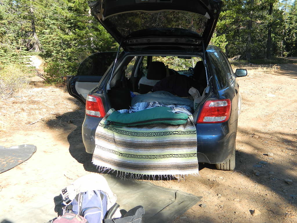
Car Camping is FREE on the back roads of California. Primitive camping requires that you be a self-sufficient campers, obtain a free camp fire permit, have a shovel, bucket and water at camp to extinguish fire.
DanaMite has an extensive list of forest roads in California. Guide to the backwoods: find photos, map links, wilderness trailheads, best places to look for a camp. Look on USDA USFS National Forest web sites for Dispersed Camping Areas, also called Open Camping or Primitive Camping. Buy a printed map and then go explore.
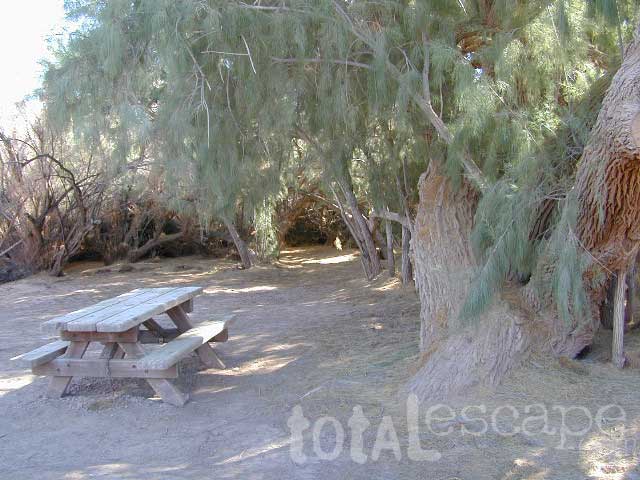
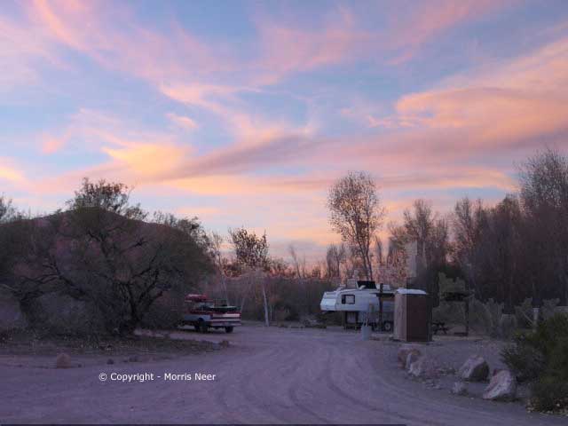
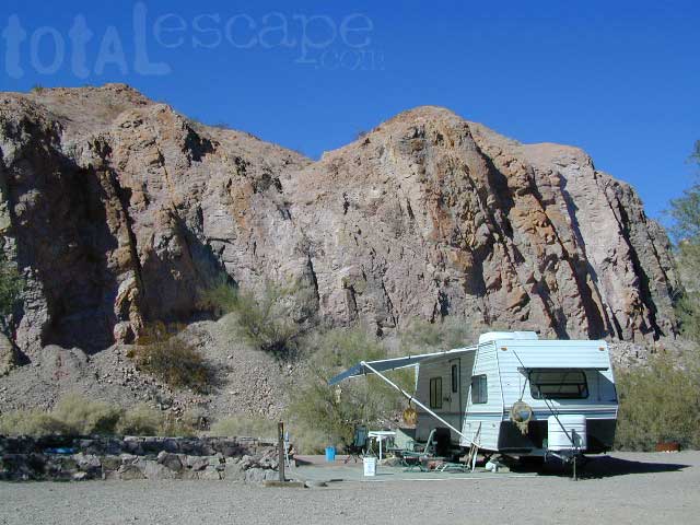
Picacho Campground
Picacho State Park @ Colorado River
Picacho SRA, California
Winter camping is great at Picacho. Hunters, fisherman, snowbirds & RVers alike, all know this best kept secret. Picacho Peak on the Colorado River is prime spot for outdoor recreation & camping. Canoe, kayak, fish, hunt, mountain bike, hike, and mining history. All this desert fun, less than a 3 hour drive from San Diego.
The main attraction here is the Colorado River, fishing, hunting, plus easy freeway access & the off roading options are an added bonus.
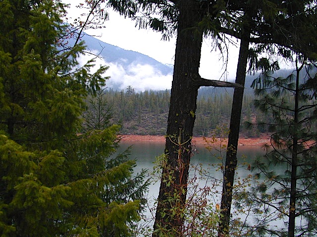
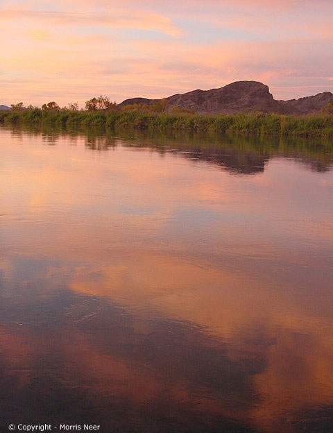
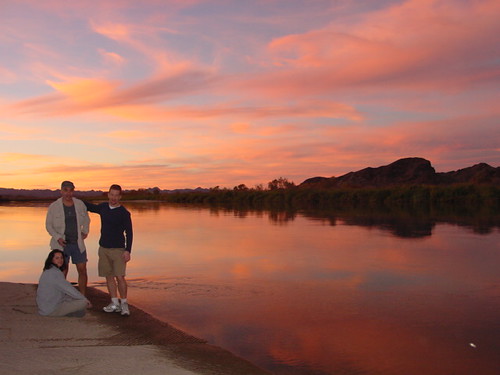
Colorado River, California
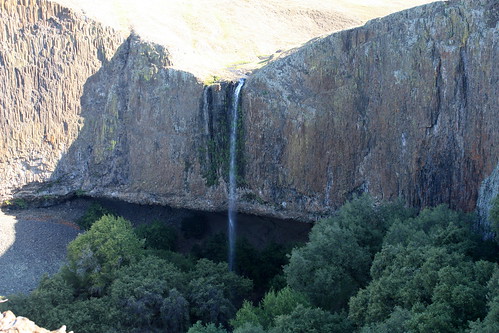
Ancient volcanic peaks surround this wetlands area of the Colorado River. Picacho makes a good stopping point on a river trip between Walter’s Camp and Martinez Lake.
A century ago Picacho was a mining town with 100 citizens. Now it is a State Park, offering diverse scenery, including cactus, burros, bighorn sheep and thousands of waterfowl. The impressive lower Colorado River is the recreation area on the eastern border of California.
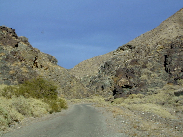
Take the 20+ mile road north from Winterhaven, off Interstate 8 (W of Yuma, AZ). The side road to Picacho is paved only a few miles, then becomes graded dirt. The last 18 miles is over a desert road that is easily passable for passenger cars & motorhomes.
In the summer months thunderstorms can cause flash flooding in the washes, making sections of the road impassable. Check weather forecast before traveling into this flash-flood region of the California desert.
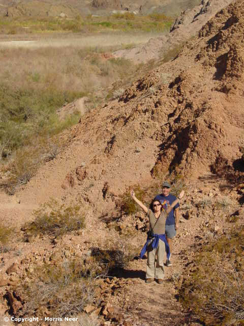
EASY HIKES @ CAMP:
Picacho California, rich in desert history, was once a small mining town. Historic signs, trails & buildings surround the Picacho Campground.
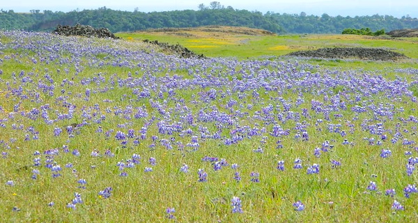
Hike straight from the main campground to many areas along the scenic rivers edge. Stroll through the old graveyard & read about the areas history. Walk the washes in early spring and look for wildflowers.
The main dirt road up to Picacho Campground is fine – for RVers that don’t mind the long haul on a wash board road.
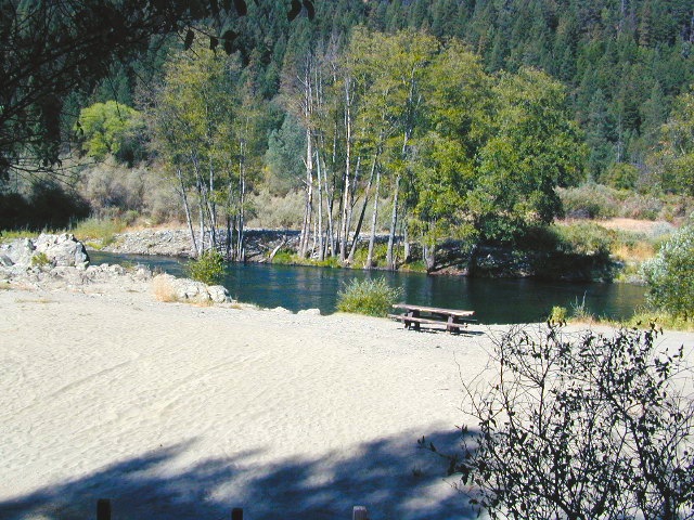
Primitive River Camping
Senator Wash – south end of park, open dispersed camping between Squaw Lake & Senators Wash. No other back road dispersed camping inside State Park boundaries.
BOAT IN CAMPING
Small campgrounds for boat in camping listed above on chart.
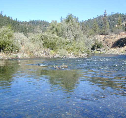
Colorado River Back Roads
The majority of this desert scenic area is dirt back roads, so get prepared & take precautions: water, warm clothes, matches, maps. Best to get your SUV out & ready to explore on milder terrain, by driving out close to camp. Walking back to camp (note mileage) could be an option, if you get stuck.
Many roads could require 4-wheel drive, but there are still plenty suitable for 2WD. Tell a camping neighbor where you are headed and what time you should be back, just in case you get stranded or lost.
Heading all the way to Anza Borrego Desert, Salton Sea, or Mecca’s Box Canyon – just a day trip (?) is unreasonable and should not be attempted. Rest and relax. Picacho Park has more than enough to keep you entertained and occupied.
OHV PARK – IMPERIAL SAND DUNES RECREATION AREA is due west of Picacho SRA, about 20 miles away (as the crow flies).
Bordering the Colorado River on the opposite side is the state of Arizona, with wetlands known as Imperial National Wildlife Refuge.
About 200 miles east of YUMA is another park called Picacho Peak State Park (AZ): 520-586-2283 and that place closes for summer months. NOTE: This park is often confused online with Picacho State Recreation Area, inside California. There is a Picacho Peak Wilderness on the California side, within the State Park boundary.
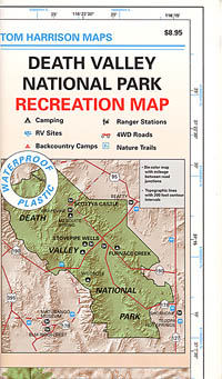
(Not to be confused w/ Panamint Springs, CA which is NW, along the main Highway 190 on the west side of DVNP
Panamint Valley, Death Valley NP
Inyo County, NE of Ridgecrest
East of Hwy 395, south of Hwy 190
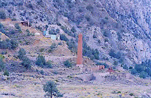
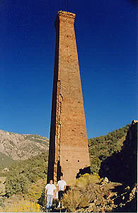
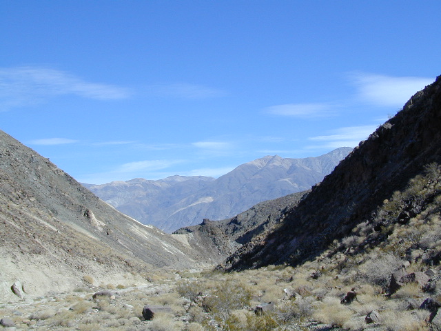
Hard to reach ghost town / abandoned mining camp on the mountainous edge of Death Valley National Park. Access via dirt road and steep trail, off the paved Trona Wildrose Road. Panamint Valley, west of Death Valley
best time to visit:November – April
Triple digit heat is common in the warmer months, so spring, autumn and winter time is best for this region, but beware of winter storms.
Snow is common on the peaks, and at higher elevations (like this place) during winter (DEC-APRIL). If you see trees on the terrain – joshua trees or pinyon pines, that indicates that snow falls here often enough. Snow is possible around Death Valley, down to 3000′ elev. during coldest of winter storms.
Surprise Canyon Wilderness BLM– Desert mountains, steep rocky terrain w/ peaks and very few trees. Surprise Canyon can become a waterfall, during heavy desert rains. The canyon is the only access up to reach this hidden town
NO MORE 4×4 Hike or backpack up Surprise Canyon No longer 4WD accessible .Gotta hike it on foot now. So get that fat ass outta the rig for some elevated heart rate (real exercise).
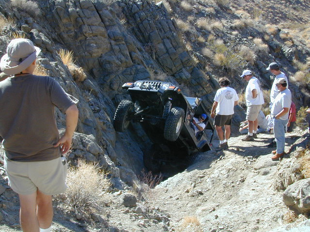
This desert destination used to be a very popular off-road trail, where Jeeps would wench and crawl up the narrow, rocky passage; but all that changed with a wilderness designation (1994) and no longer are machines allowed in this specific canyon area. No vehicles (engines) and no mountain bikes. No wheeled anything.
Off-roading and free-wheelin is still allowed and abundant in neighboring canyons of Nadeau Road & Panamint Valley – Pleasant Canyon, South Park Canyon, Jailhouse Canyon, Goler Wash, Isham Canyon
Ballarat ghost town has a camper bathroom w/ showers and a fee to go along with that. Panamint Springs has a small motel and a big restaurant, plus a large campground (across the highway) which can accommodate tents, camper trailers and RVs.
Death Valley National Park boundary means developed campgrounds are a few miles away up Wildrose Canyon.
Boon-docking, dispersed, FREE, open camping is allowed almost anywhere in Panamint Valley and the neighboring desert canyons. Campfire permits are required and are available at BLM office in Ridgecrest. There is no firewood, nor wood collecting around these parts, so bring your own.
Nadeau Road has abundant flat spots for RVs; Well stocked 4x4s can find secluded camping further up the canyons, but must be a self-sufficient camper and bring water, plenty of ice, extra gasoline, food and firewood.
Locating a ‘real bed’ near this remote desert region will require some driving. The closest option in Panamint Springs, which only has a few rooms. The next closest, would be Stovepipe Wells inside the National Park.
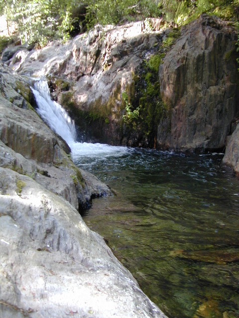
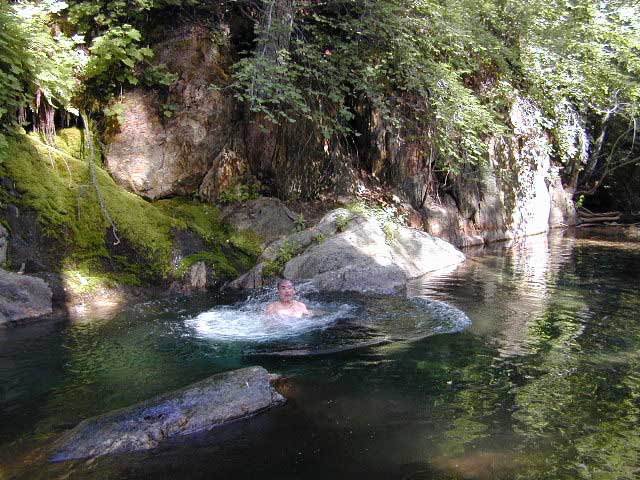
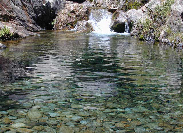
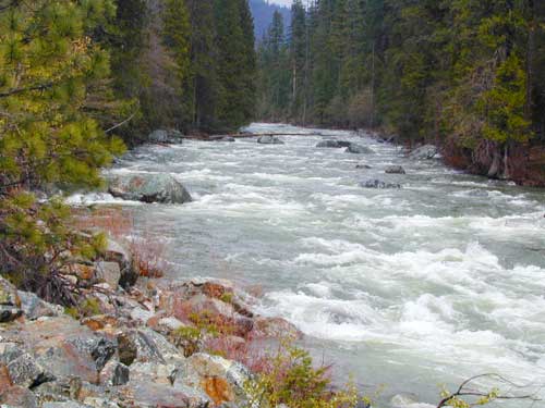
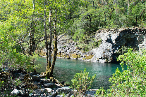
One of the least known rivers in the Golden State, the Smith is designated as a Wild and Scenic River. This could be one of the wildest and cleanest rivers in the world.
Located in the Pacific Northwest, this area typically sees the most rainfall of any California region. Smith waters flow from the Klamath mountains of Oregon, to cross into California with state line near O’Brien.
Smith is the only major, un-dammed river inside California and it contains the most original, ancient forest ecosystem than any other waterway in the state.
colorful blue-green
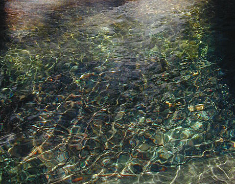
Smith River water often appears emerald green or on clear, sunny days, a turquoise blue color. This is because of the rare green serpentine rocks below that cast their brilliant color.
River Classification & Mileage:
Wild — 78.0 miles
Scenic — 31.0 miles
Recreational — 216.4 miles
Total — 325.4 miles
Beginning up in Oregon….
The Smith River, its three major forks and dozens of side creeks drain a beautiful, rugged terrain of the Pacific Northwest, flowing southwest from the Klamath Mountains to the Pacific Ocean. Nearing the coast, the river makes an abrupt turn north to meet the sea.
The NRA encompasses more than 450-square-miles of densely forested mountains, pristine botanical areas, remote wilderness landscapes, high-mountain lakes and steep, rocky canyons. The river is an important stream for fish, with towering trees along its banks provide shaded conditions necessary for cold-water species.
A couple of campgrounds in this area are open year round, but the others close down for winter. Rainy season normally runs from October through April with an average annual rainfall over 90 inches. Summers are dry and warm, with high temperatures between 80-100°F. Contact the NRA Headquarters at the Gasquet Ranger Station for current weather forecast/conditions.
backpacking
camping
cliff jumping
fishing
hiking
kayaking
mountain biking
paddle boarding
redwood forests
river rafting
snorkeling
swimming holes
tubing
wildlife
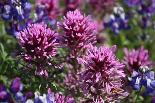
wildflowers
In 1990, the portions of the Smith River on the Six Rivers National Forest were re-designated to create the Smith River National Recreation Area. More than 300 miles of the Smith River drainage are designated wild and scenic, making it one of the most complete river systems in the nation. The emerald-green Smith River flows freely and naturally, without a single dam for its entire length (and the only major river in California to hold this status).
RAPIDS & FLOATS
Winter rains provide the whitewater conditions so avidly sought by kayakers. The Smith River abounds with Class IV and V rapids on all three forks and has many miles of steep creeking waters. Its miles of whitewater require a fairly high degree of technical skills by the boater.
Just past the confluence of the Middle Fork and South Fork, the river leaves the NRA and flows past giant redwoods. Great summer floating in Class I and II waters through here.
Once the three forks join to form the mainstem, the land levels out, and the last 16 miles to the ocean present less demanding conditions, Class I-II in medium flows.
6.5 MB download
20 page river PDF guide w/ trailheads mileage and information, navigable runs detailed, campgrounds, picnic sites, fire lookout tower, plus cabin rental
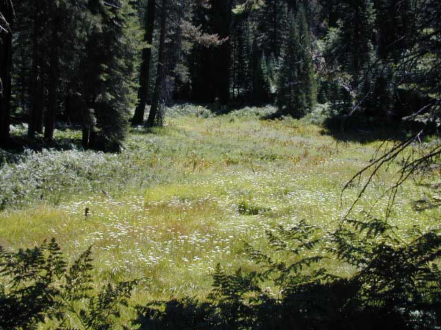
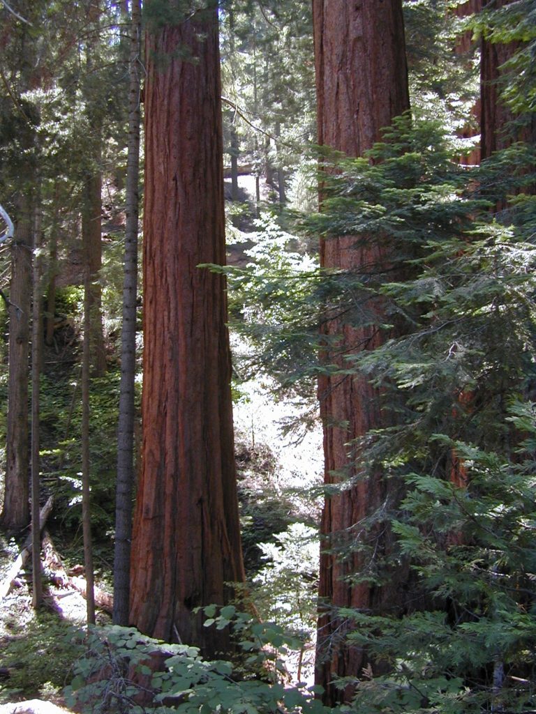
North of the Giant Sequoia , above the Western Divide Highway (CA 190) sits a little known Sequoia Park called Mountain Home. This lush forested area separates the Sequoia National Park (to the north) from the Giant Sequoia National Monument (to the south).
Mountain Home is just up the mountain from the West Sierra river town of Springville, CA
Western Sierra Nevada
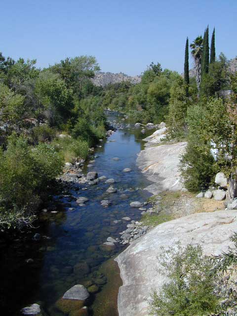
In part of the vast Sequoia National Forest, lies a hidden gem of State Forest land worth visiting. Waterfalls, the Tule River, fishing ponds, campgrounds and easy access to Golden Trout Wilderness trails.
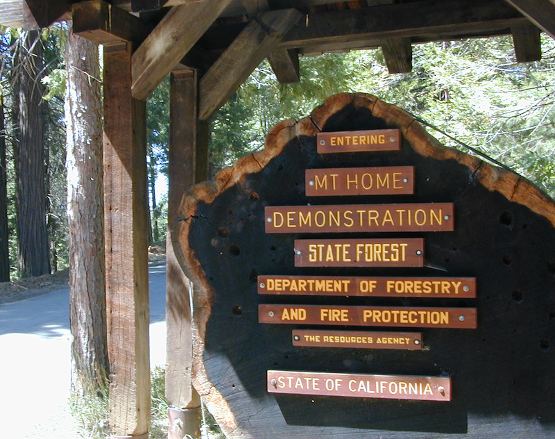
MHDSF
The official name of this forest: Mountain Home Demonstration State Forest is quite a mouth full, so most just call it “Mountain Home”. In short MHDSF is managed by Cal-Fire and the California State Park system.
the Largest old growth Sequoias in the state!
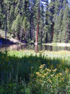
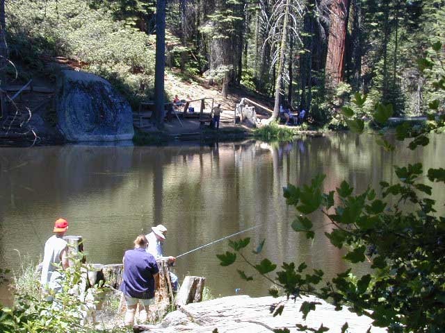
Numerous awesome Campgrounds can be found near the Sequoia groves, the Tule River, hiking trailheads, fishing, waterfalls. Balch Park is the County Park, listed below.
Balch Park Sequoia
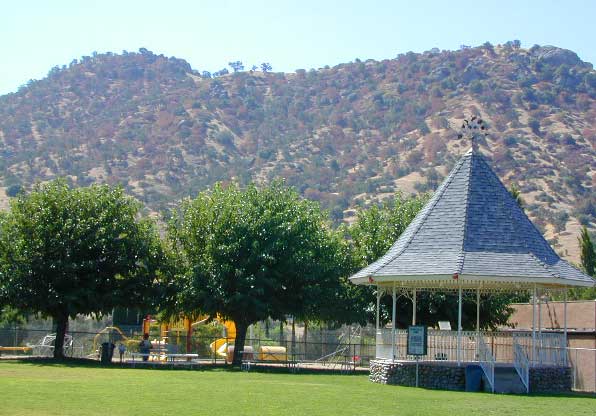
located within the Mountain Home State Forest is a popular destination for the locals and families. Balch Park Campground is paved and RV accessible. 71 campsites, on first come basis.
Small pond fishing near Balch Park
Meadows, mountain peaks, streams, waterfalls, huge granite rocks & cliffs are all over. Plus some secluded groves of Giant Sequoia trees. Mosquitos can be annoying in these parts, so bring the chemical warfare and the screen room tent.
Roads Open: May – October
Forest mountain roads close annually, due to winter snow
SEQUOIA NF MAP
Area activities include:
Backpacking Back Road Exploration Campground Camping Fishing Hiking Horseback Riding Meadows Mountain Biking Picnic Sequoia Groves Swimming Holes Tule River (North Fork) Golden Trout Wilderness
USDA Forest Service Map is highly advised for this area. There are many dirt roads & numerous trails. Minimal cell phone signal inside these dense forests and large granite river canyons. GPS even has trouble getting connected, due to the immense canopy of trees.
In the backcountry, tent camping is allowed any place on soil 100 feet from trail or water. No camping on meadows. Ground fires are very allowed with fire permit. Use existing camp site when available. Check with the correct ranger district for all back country camping rules. Wilderness permits are needed for backpackers and horse packers staying overnight in the wilderness area.
Local Ranger Stations:
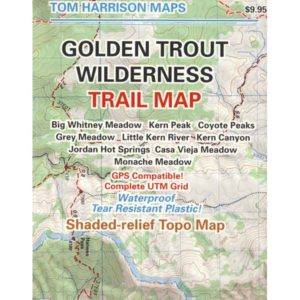
Golden Trout Trail Maps
Sequoia USFS Headquarters
Porterville, CA
559-784-1500
Tule River Ranger District
Springville, CA
559-539-2607
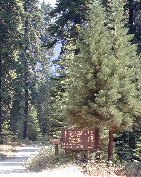
Mountain Home Backroads
Dirt back roads are so narrow they cannot accommodate the large motorhome or RV traveler. Trucks pulling horse trailers are common, with very few options for a pull-out to pass.
This forested area is filled with old logging roads that lead to lush Sequoia groves & meadows. The whole network of forest roads back here either – loop back to each other, or deal end, often at a trailhead parking area. No roads connect through to any other portion of the Sierra range. Golden Trout Wilderness is a road-less area of the Southern Sierra Nevada.
Signs Not Reflective
The old skool, painted, wooden road signs do not READ well at night, so avoid arriving in the dark.
When it’s dark outside, it is best to STOP: Shut off the vehicle, get out and take a stretch break, find the north star; Get your bearing straight, look at the real map with a flashlight – before driving miles to an unknown destination, just to turn around.
Be very aware of the Forest Service signage, use your trip meter for clocking mileage. Have a good map on hand. See MAP ABOVE. It is very easy to get lost in this forest and you may end up driving for hours, maybe in circles. I swear this intersection looks familiar.
Mountain Home Campgrounds
Balch and Frazier are the two larger, developed campgrounds; all others are smaller camps w/ primitive facilities.
NOTE: all the Campgrounds in this forest now charge an overnight fee for camping. (Decades ago they were free, but not anymore.)
Frasier Mill Campground is spelled w/ a Z (like Frazier)on many printed maps and inside some camping books, but the proper spelling (on a sign at the campground) is actually Frasier w/ an S. This camp is located at the site of an old lumber mill. Meadows, trailheads, picnic areas, parking.
Decent signage leads to smaller, secluded campgrounds and hiking trail heads. Dirt road driving will be required. See BACKROADS (above heading) for tips on back road driving and night time arrivals.
Plenty of trails for horses back in these parts, most of them lead to Golden Trout Wilderness. Watch out for oncoming vehicles with horse trailers!
No primitive camping outside of developed campgrounds. Due to fire dangers around these majestic Sequoia trees. You must camp within the designated campground, or HOOF IT into the the wilderness for backpacking.
Mountain Home Hiking
Numerous trails around each campground area will lead to the waters edge @ Tule River; into the Golden Trout Wilderness (for longer day hikes), along creeks w/ wildflowers, near lush meadows or through Giant Sequoia Groves.
Bikes are limited to existing paved and dirt roads; NO SINGLE TRACK trails for mountain bikers – due to the fragile, shallow roots of Sequoia groves, and the direct access to Wilderness. NO bikes in the Golden Trout Wild!
Southern Sierra Nevada Foothills
Great Western Divide
2021 – MUCH OF THIS RIVER may be INACCESSIBLE, due to the Castle Fire 2020
One of the smallest rivers in the Sierra Nevada, the Tule River has three forks and is located within Tulare County. Tule drains the Golden Trout Wilderness on the Great Western Divide, part of the Sierra Nevada range. California Highway 190 connects the upper elevations of the Giant Sequoia to the farm town of Porterville. Tule River parallels this main Sierra highway as it flows west into the Central Valley.
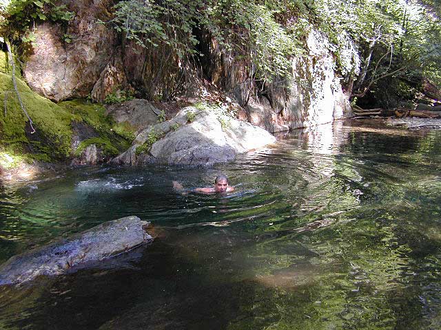
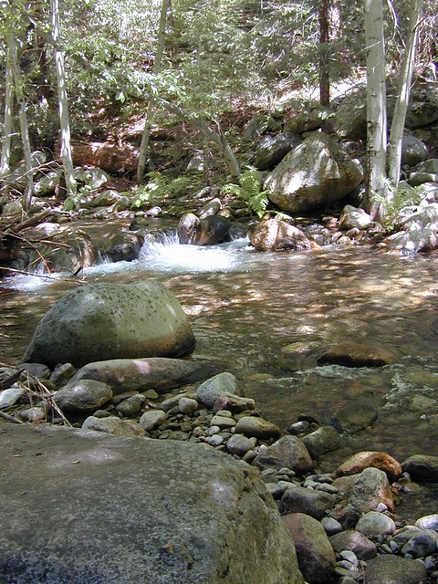
Inside Mountain Home State Forest – Hidden Falls & Moses Gulch Campgrounds, both have small waterfalls & swimming holes. Dirt roads access these back woods camp spots, but they are both popular among the locals in summer months. Off season is best for minimal crowds. Mosquitoes can be fierce; bring the repellent or a screen room.
Clear, cold, snowmelt water, flowing west – out of the Golden Trout Wilderness. Deep within the Western Sierra Nevada, lined with granite cliffs and neighboring the oldest Sequoia groves, the north fork of the Tule River descends down the forested canyons to meet the oak-land foothills at Springville, CA.
Trinity River flows north at Highway 96, to meet the Klamath River; N of Willow Creek, CA
south – west – north & finally into the Klamath River
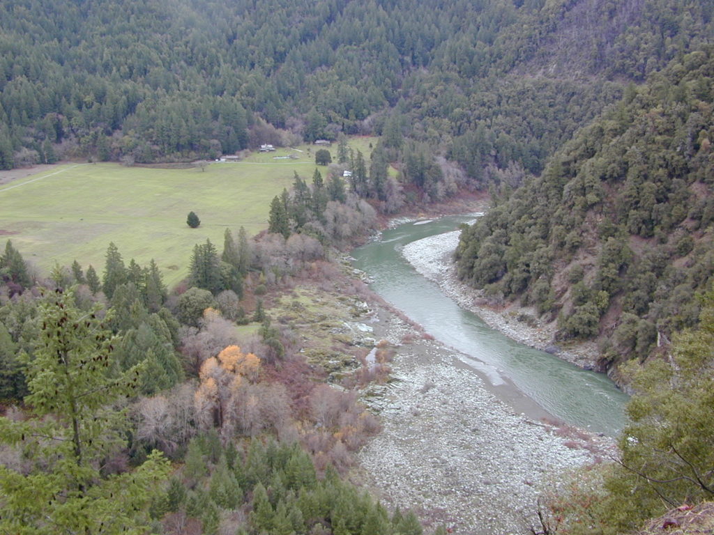
Northern California’s top river destination, the path of the Trinity River is not a typical westward flow. Headwaters begin in the Scott Mountains and the Trinity Alps, making its way into the Trinity Reservoir, then southbound to the Lewiston Reservoir, passing Douglas City and heads westward to parallel Hwy 299, beyond Weaverville. Trinity waters hugs the paved westbound highway – all the way from Junction City to Willow Creek – then turns abruptly north to merge with the Klamath River along Hwy 96.
Trinity River wide and shallow area at Junction City, CA
The largest town near the Trinity River, is the county seat of Trinity, Weaverville, CA. The historic mining camp and logging town, located at the junction of Hwy 299 and Hwy 3. Oddly, the town itself does not have direct access to the Trinity River, but it is well worth a visit anyway.
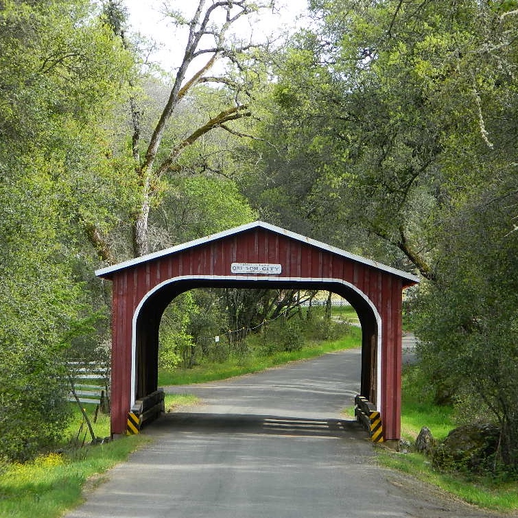
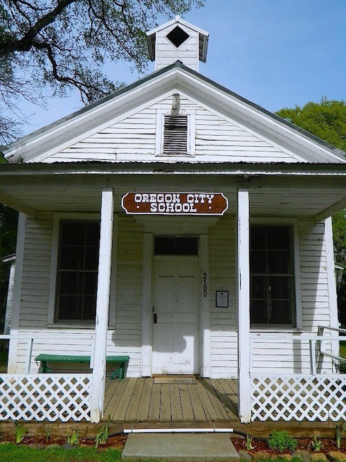
As with a lot of small town names in California, Oregon City is not a city at all. It is however, worthy of historic interest.
Oregon City is a rural locale on the back roads of Butte County, California – about 5 miles uphill from the Oroville Dam. A tiny, historic camp, located in the North Sierra foothills between Oroville and Cherokee.
One of the first mining camps in the county, it was established in the autumn of 1848 by a party of Oregonians, who came to California over the Applegate and Lassen trails.
Bloomingdale Mine
Rock River Mine
Buffalo Mine
Two historic sites, open to the public:
A little covered bridge (painted red)
A wooden one-room schoolhouse (now museum)
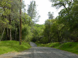
Gravel road access w/ paved, narrow and curvy Cherokee Road being pretty much the only way in. Or hiking up Potter’s Ravine, from Lake Oroville.
Minimal residence, maximum oaks.
Oregon City was formerly known as Bloomingdale and Hengy.
North of Oroville, CA

 Car Camping is FREE on the back roads of California. Primitive camping requires that you be a self-sufficient campers, obtain a free camp fire permit, have a shovel, bucket and water at camp to extinguish fire.


 Death Valley National Park boundary means developed campgrounds are a few miles away up Wildrose Canyon.


 Shake Camp – Best hiking trail access to