Tag Archives: BLM

North Bloomfield

North Bloomfield

The remote town of North Bloomfield is part of Malakoff Diggins State Park, an old mining operation inside of a dense forest. Located in Northern Gold Country, North of Nevada City, CA – the Yuba River region attracts tourists and locals alike. Far enough off the beaten path, that many do not make the extra trek, more than a dozen miles off NB Highway 49. Save it for next time and decades will pass.

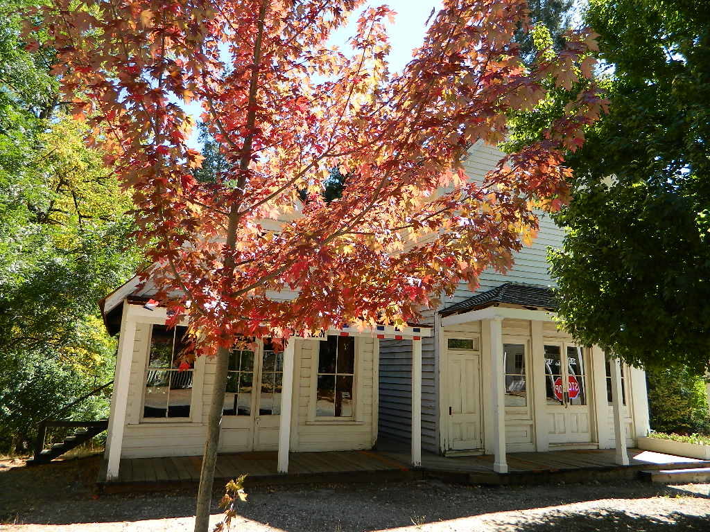
Autumn colors can start as early as September and last through October. Maple trees line the small Main Street, turning orange, then a brilliant red during fall.

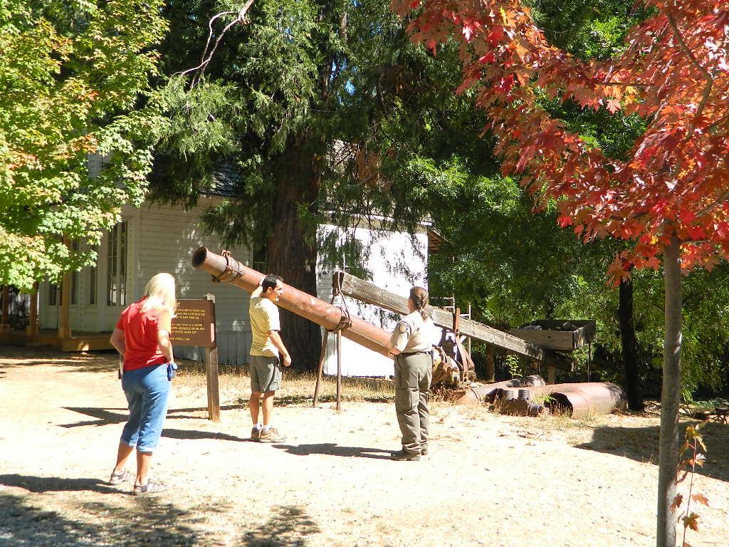
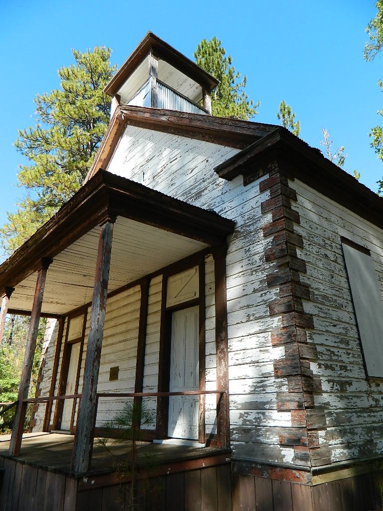
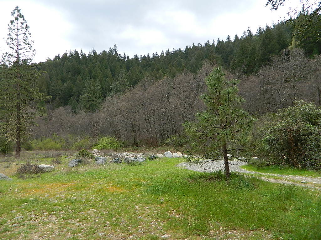
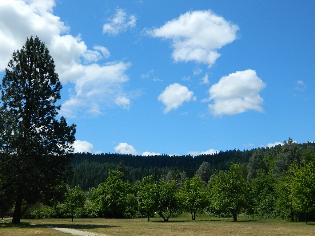
Antique buildings w/ furnishings. A graveyard, schoolhouse, viewpoints w/ benches. Impressive trees and old shacks. Hiking trails throughout the park.

Ranger Tour
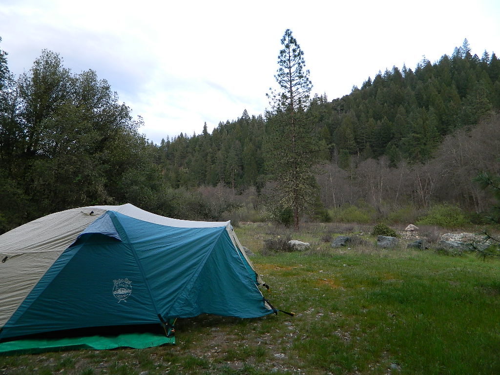
State Park w/ ranger lead tours, daily. Cabins, saloons, museums, a picnic park, a few private homes, and a campground, (reservations recommended).

Back Road NB

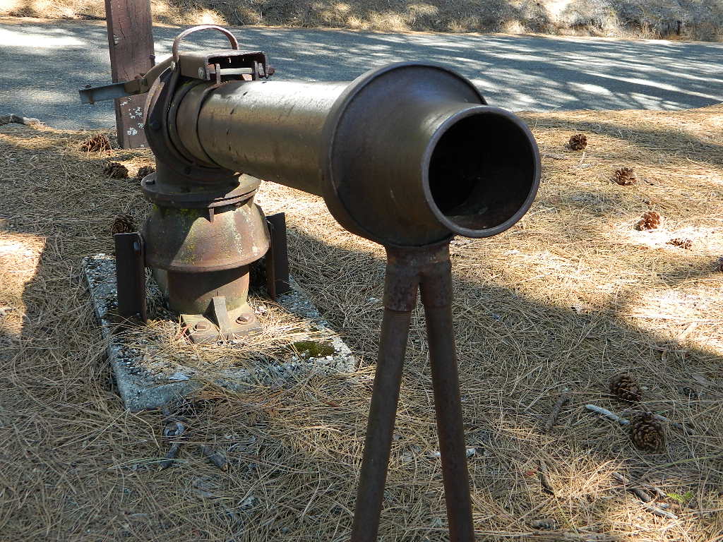
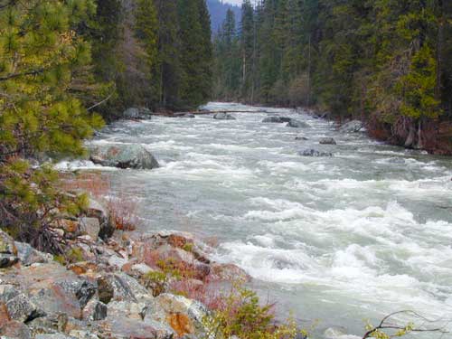
This region was a hydraulic mining camp from 1852 to 1884, until it was shut down by environmental laws… the first environmental law in California. The rocky debris and silt washing down river was so excessive, that orchards and towns down stream were being buried and many ruined.

A few full time residents still live in this tiny mountain community called North Bloomfield; please respect their privacy as their homes are located right on Main Street

North Bloomfield
is also known as Humbug City

elevation 3500′
Tahoe National Forest

Antique Buildings
Cabin Rentals
Campground (open May-November)
Museum
Picnic Park
Hiking Trails
Old Schoolhouse
Graveyard

NBschoolhouse

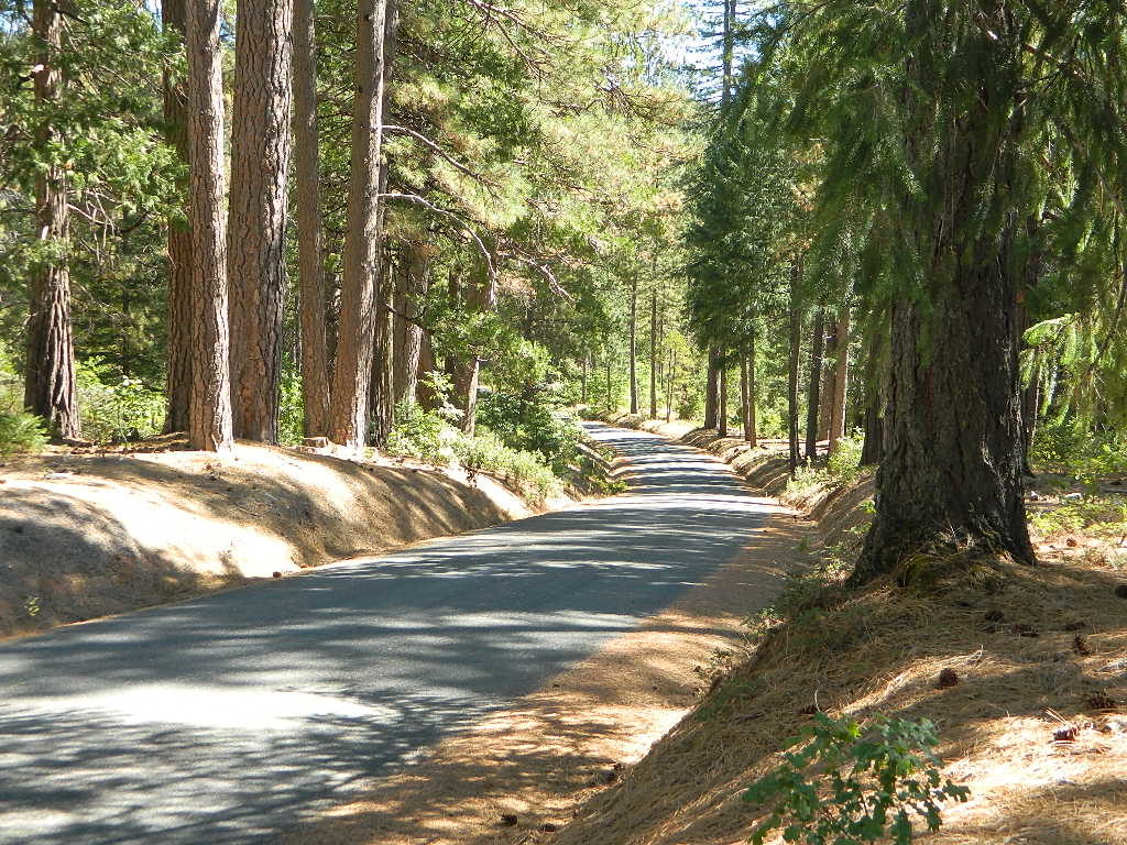
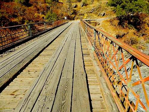
North Bloomfield Road (the long way) leaves Nevada City, paved and it winds through a neighborhood, then crosses the river at Edwards Crossing, hairy one lane bridge built before 1900. Road becomes dirt and steep, dusty in certain sections. Camper vans okay, but no camper trailer or RVs!

1 mile uphill, a BLM Campground for South Yuba River is a cheap, small campground w/ vault toilets. Left loop is ideal, but no campsites are located “on the river”. Near the river, but still a really steep hike.

The long dirt road of North Bloom Field continues northbound, past the campground up into the pine forest. Out to the meadows that used to be Lake City, then onward, veering right to the State Park boundary.

Hydraulic Mining Weapon

Tyler Foote Road (the paved way), also known as Tyler-Foote Crossing Road and Tyler-Foote Xing Rd. Leaving Nevada City on Highway 49, northbound many miles. Road is paved the whole way and required for those driving RVs or motorhomes.
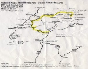
Download PDF Map

nearby towns:
Alleghany, CA
Camptonville, CA
Downieville, CA
Graniteville, CA
Nevada City, CA
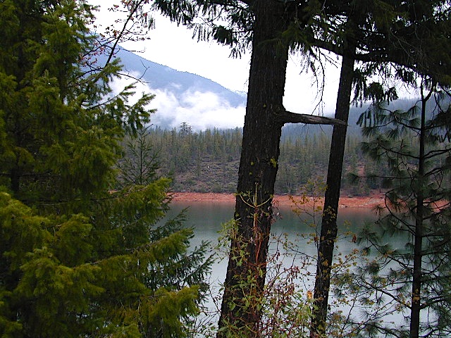
New Bullards Bar Reservoir
North San Juan, CA
Sierra City, CA
Washington Ridge

Alabama Hills, California

Eastern Sierra BLM – Alabama Hills


A nice surprise for visitors to Mount Whitney region when they happen upon the Alabama Hills. The cool boulder field lies at the base of the eastern Sierra Nevada mountain range – next to the town of Lone Pine, on the way up to Whitney Portal.

The infamous area features a drive named “Movie Road” – with historical spots for filming old westerns & cowboy movies. Plenty of television commercials & videos have been filmed here as well. Relatively close to Los Angeles and SoCal.

high desert: elevation 5354′


From the Mojave desert, take Hwy.395 North to the small town of Lone Pine . At the only traffic light in town; turn left up Mt Whitney Portal Road; continue up to boulders. MOVIE ROAD, right turn to start exploring. Mant graded dirt roads and areas to park vehicles.

  • hike

  • bike

  • camp

  • horseback

  • natural arches

  • rock climbing

  • stargaze

  • wildflowers


MT WHITNEY MAPS

Inyo National Forest next door offers the highest granite peaks, pinon pines to Ponderosa pines, Sierra lakes, fishing, hiking, horseback trails.

campfireNO CAMPFIRES (and no open dispersed camping on this BLM land)

Developed Campgrounds nearby:

bamahillcrew

blm

ALABAMA HILLS – BLM 

download BLM PDF map

US 395


Alabama Hills Recreational Area
760-876-4444


Mt. Whitney Information Center
760-876-6200


Eastern Sierra links & info

Alabama Hills Stewardship Group
BLM Alabama Hills Info
Eastern Sierra Interagency Visitors Center
Friends of the Inyo
Mt. Whitney Ranger Station USFS


Trinity River California

Trinity River of Northern California

Highway 96
Trinity River flows north at Highway 96, to meet the Klamath River; N of Willow Creek, CA

south – west – north
& finally into the Klamath River

Northern California’s top river destination, the path of the Trinity River is not a typical westward flow. Headwaters begin in the Scott Mountains and the Trinity Alps, making its way into the Trinity Reservoir, then southbound to the Lewiston Reservoir, passing Douglas City and heads westward to parallel Hwy 299, beyond Weaverville. Trinity waters hugs the paved westbound highway – all the way from Junction City to Willow Creek – then turns abruptly north to merge with the Klamath River along Hwy 96.

Forests & Parks along Trinity River:

fish   boatramp  canoe

boating
camping
canoeing
fishing
hiking
hunting
kayaking
off-roading
rafting

camp hiker pinetree

2021 wildfire: Monument Fire burnt parts of the mountains and forests around Trinity River, in between Junction City and Willow Creek.

dispersed camping off Hwy 299
behind Douglas City

steinerflatfree
Steiner Flat is free camping, near Douglas City, CA and Hwy 299
Steiner Flat Camp
Tent camping at Steiner Flat – dispersed camping

Campgrounds along Hwy 3 Trinity River:

( both located @ Coffee Creek )

douglas beach
Douglas City Campground – nice beach

Campgrounds along Hwy 299 Trinity River:

trinity299
Trinity River wide and shallow area at Junction City, CA

ranger  

The largest town  near the Trinity River, is the county seat of Trinity, Weaverville, CA. The historic mining camp and logging town, located at the junction of Hwy 299 and Hwy 3. Oddly, the town itself does not have direct access to the Trinity River, but it is well worth a visit anyway.

greatparks
Great little picnic parks inside Weaverville

Towns near or along the Trinity River:

 lodge

Trinity Lake
Trinity Lake – red dirt shoreline in Northern California
trinityriverrush
Trinity River – North of Trinity Lake, along Highway 3