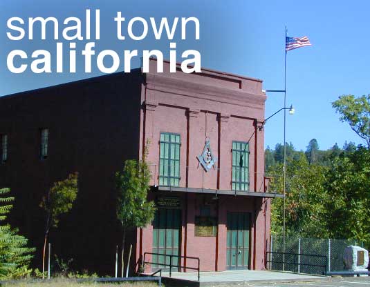
Small Towns in California,
Listed by Population
Seeking to explore more of California:
Outside more, Inside less.
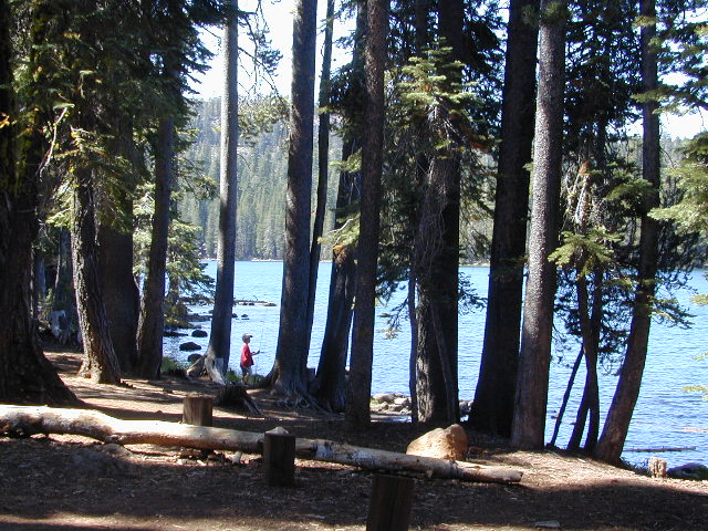
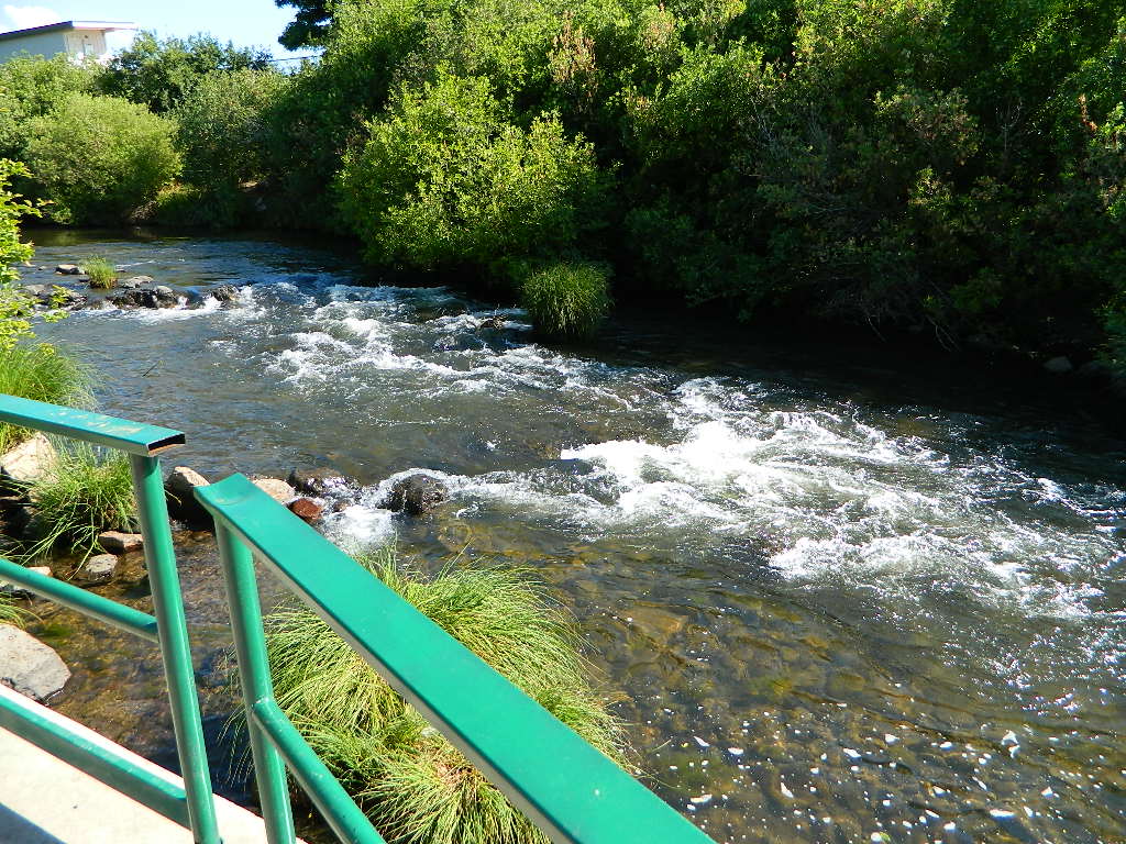
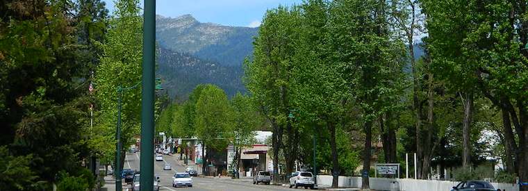
 Rural reaches of rivers, mountains, high and low deserts. Find a new town in Northern California or in the Sierra foothills. Discover a new place for local vacations, or go all out and get a new job, in a new town.
Relocating, outside of a big city – for a life style change, more nature, less people, less traffic. Real living life outdoors, walking to the market, growing some food, and enjoying a forced, early retirement.
Most populated state in US = California
Most of the towns listed below are NOT located in the popular San Francisco Bay Area, nor the massive hot and smoggy Central Valley, nor in the over-crowded Southern California region.
cool town
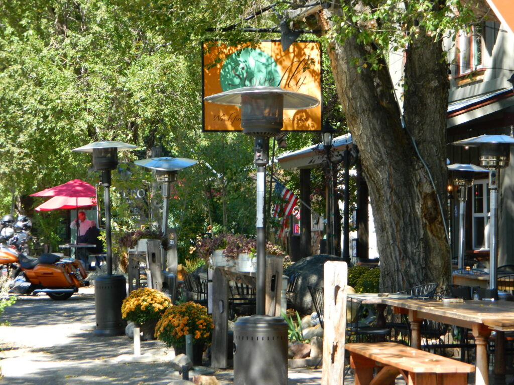
Upscale villages, mountain hamlets and historic downtowns often have loads of attractions and eateries, yet unaffordable rentals and sky high residential real estate prices. We’ve purposely left out the super expensive and over-priced places like wine country, coastal enclaves and the typical touristy stops.
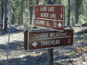
Many in this list are unheard-of farm towns, forest cabin communities, or river canyons – often neglected, minimal and unimproved. Some of these will not have a Wal-Mart in town, seldom a chain grocery store, nor a main street full of fast food restaurants. Although, they might be located next to a National Park, National Forest or State Park. Hike, bike, kayak and camp!
Backwoods, back roads and backcountry. Wildfires are often an annual threat. Higher in elevation means less smog and more stars. Altitude also means snow is quite possible, at least half the year.
If you moved to California to avoid snow, then skip a winter visit (DEC-APR) or find elevations below 3000 feet.

California Small Towns under 100 people
Aspendell
Belden
Blairsden
Bucks Lake
Butte Meadows
Darwin
Duncans Mills
Fish Camp
Hope Valley
Kennedy Meadows
LaPorte
Nipton
Randsburg
Twain
Twin Lakes

California Small Towns under 500 people
Amador City
Angelus Oaks
Bear Valley
Benton
Camp Nelson
Caspar
Cazadero
Crescent Mills
Gazelle
Kirkwood
Knights Ferry
Lee Vining
Lemon Cove
Markleeville
Mill Creek
Mineral
Olancha
Paynes Creek
Petrolia
Ponderosa
Seide Valley
Stirling City
Valley Ford
Volcano

California Small Towns under 1000 people
Adin
Alleghany
Avery
Bass Lake
Bridgeport
Cedarville
Cobb
Dorrington
Dorris
Douglas City
Downieville
Elk Creek
Etna
Fall River Mills
Fawnskin
Forest Falls
Fort Jones
French Gulch
Gasquet
Gazelle
Happy Camp
Independence
Isleton
June Lake
Klamath
Leggett
Meadow Valley
Miranda
North San Juan
Oak Glen
Orleans
Philo
Pinecrest
Pioneertown
Plymouth
Point Arena
Ponderosa
Scotia
Shasta
Sierra City
Sierraville
Springville
Somerset
Taylorsville
Walker

California Small Towns under 5000 people
Ahwahnee
Alturas
Angels Camp
Angwin
Arnold
Berry Creek
Big Pine
Bishop
Camino
Cayucos
Challenge
Chester
Colfax
Coloma
Columbia
Copperopolis
Coulterville
Covelo
Dunsmuir
Ferndale
Forestville
Frazier Park
Georgetown
Greenville
Guerneville
Hayfork
Jackson
Jamestown
Joshua Tree
Kelseyville
Kernville
Lake Almanor
Lake Isabella
Laytonville
Lewiston
Lone Pine
Lucerne
Mariposa
Meyers
McCloud
Mount Shasta
Murphys
Nevada City
North Fork
Oakhurst
Pine Cove
Pine Grove
Pine Mountain
Portola
Quincy
Redway
Running Springs
Santa Margarita
Shaver Lake
Shoshone
Sonora
Strawberry
Sutter Creek
Three Rivers
Tuolumne
Twain Harte
Upper Lake
Weaverville
Weed
Westwood
Willits
Willow Creek
Wofford Heights

Small Cities under 10k population
Alta Sierra
Big Bear City
Big Bear Lake
Coarsegold
Colusa
Crescent City
Fort Bragg
Gridley
Groveland
Ione
King City
Lake Crowley
Mecca
Needles
Ojai
Orland
Williams
Willows
Winters
Woodlake
Yreka

Small Cities under 20k population
Alpine
Arcata
Arroyo Grande
Auburn
Baywood Park
Coalinga
Crestline
Desert Hot Springs
Garberville
Grass Valley
Lindsey
Live Oak
Los Osos
Morro Bay
Oroville
Placerville
Reedley
Red Bluff
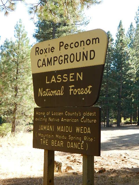
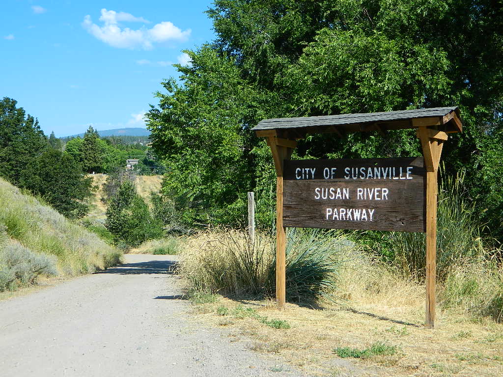
Susanville
Tehachapi
Truckee
Ukiah


find rural counties inside California