Tag Archives: forests

American River California

american 1

American River, Central Sierra Nevada

Donner Pass – Gold Country California
El Dorado National Forest
Folsom Lake, Sacramento, CA

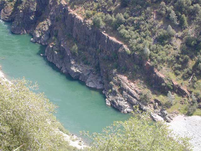
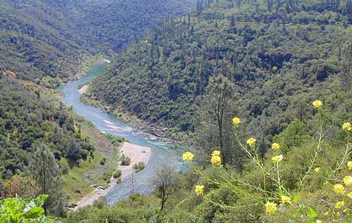
This is a major river in the Sierra Nevada landscape, as well as in the Gold Rush history of California. Many mining camps, railways, old abandon mines, dirt roads, hiking trails, mountain biking routes, waterfalls and even ancient artifacts can be found on the back roads. The native tribes once heavily populated these river canyons since the location is ideal, half way between the big mountains and the sunny warm valley.

snowNorth fork of American River drains most of the Donner Pass region, all along Interstate 80. Indian Creek is a feeder stream coming from Sugar Pine Reservoir. No large reservoirs exist along this American North Fork, although there is a wide section of the river, above Auburn, called the North Fork Lake.

Middle fork of American River comes down from the Granite Cheif Wilderness, next to Lake Tahoe; Foresthill (3225′ elev) is a small mountain community w/ a ranger station; French Meadows Reservoir is way back in there, toward the highest peaks @ 9000′ elevation.

South fork of American River parallels the State Highway 50, which connects Placerville to Lake Tahoe via the Kyburz Pass. Union Valley Reservoir and Ice House Reservoir make up this part of the drainage for abundant snow melt.

The north and middle flows of this river join in Auburn, near the freway @ I-80. The south fork joins the rest downhill in the Central Valley, at Folsom Lake, NW of Sacramento, CA

rapids: turbulent, fast moving water

canoe

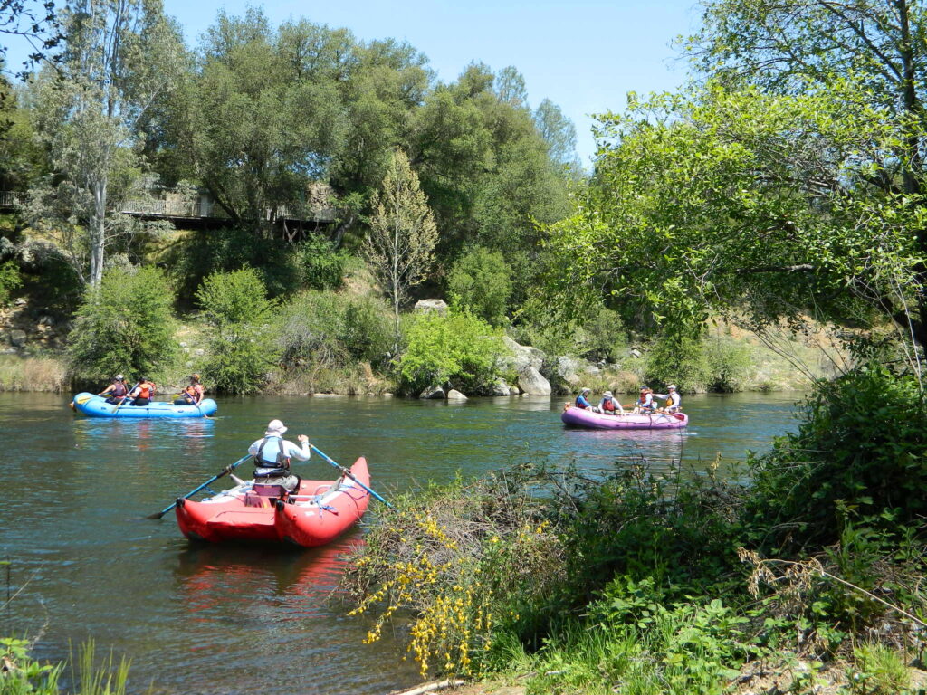
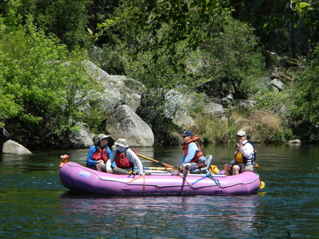
River Rafting on the American River

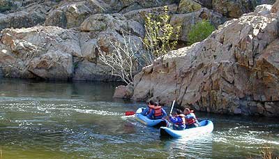
This is a rapid moving river, with serious force. Not to be taken lightly. Wear life vest and stay alive; Don’t swim in dangerous conditions and spare your life!

Go whitewater river rafting with experienced leaders, who offer professional guide rafting tours. Always wear a life vest in the water. Toying around with an inflatable cheap raft on a big river, can leads to all kinds of trouble.
rafting

American River south fork James W. Marshall discovered gold in January of 1848 on the South Fork of the American River

  • backpackfish
  • camp
  • fish
  • hike
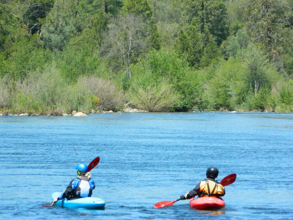
  • kayak
  • mountain bike
  • museums
  • off-road
  • raft
  • swim

Numerous feeder creeks and rivers drain into American River:

  • Indian Creek
  • Owl Creek
  • Pilot Creek
  • Rubicon River
  • Secret Ravine
  • Silver Creek (flows to south fork)
  • Silver Fork of the American River (flows to north fork)

camp

Camping & Campgrounds on the American River

south fork (CA Hwy 49 & US Hwy 50)

middle fork (CA Hwy 49)

north fork (CA Hwy 49 & I-80)

hiker

americanriverabove

Auburn Lodging near the American River with numerous unique overnight options closeby. Colfax, the rail-town up the interstate, also has small motels and inns, most are freeway close. Foresthill is a residential area near the Middle Fork of the American River. Placerville, on the South Fork has more hotel choices. See more on Historic Gold Country


rafters

Towns along American River:

kayaking


Susan River California

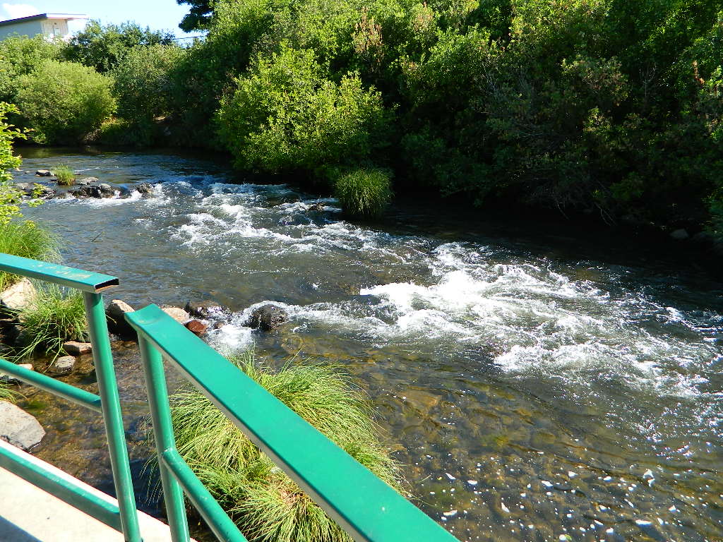
Susanville Footbridge

Susan River California 

67 miles long, northern boundary of the Sierra Nevada

Lassen Peak to Susanville, CA

Lassen Volcanic National ParkNPSplaque

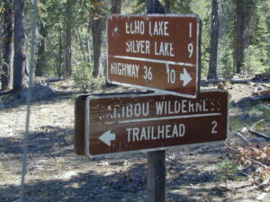
California’s Susan River begins way up @ Caribou Lake (6,571′ elevation) , on the east side of Lassen Peak at an altitude of 10,457′  inside the Caribou Wilderness.

Silver Lake (6400′ elev) at the Silver Bowl w/ Lassen National Forest Road #10 being the main, north-south access route, on the west side of A21.

Rocky Knoll Campground, Hourglass Lake, Hidden Lake, Tule Lake, Pine Lake. PCT is located 10 miles to the west of this area, running north-south through the center of the National Park.

  • Hay Meadows Trailhead
  • Caribou Lake Trailhead

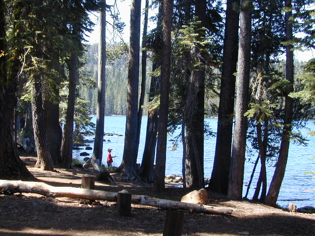
kidfishing

Susan River follows Silver Lake Road down to Mooney Road A21. Backpacking, fishing and hiking are main attractions out here in the undeveloped lands, but snow can close these routes and trailheads for half the year. Expect crowds on summer weekends, as the Volcanic National Park pulls in a lot of visitors – and those tend to filter over to the outlying regions like the rivers and National Forest.
fish

Road A21

The Susan River Campground [CLOSED 2020] and Swains Campground, developed NFS campgrounds located on Mooney Rd (aka A21), due N of Westwood, CA

Lassen County Rd #A21 is a minimal signed road, near gas station on Hwy 36; Lassen County A21 is a paved road and very forested, with no services. A forested route which parallels Robber’s Creek, all this above Lake Almanor.

lassensignage

EAST BOUND

Susan River flows into the Great Basin – not the Pacific Ocean, like most rivers in California. After exiting the slopes of Lassen, the Susan River descends downhill along Highway 44, to McCoy Flat Reservoir (5556′) and then on to Hog Flat Reservoir  (5494′)  w/ access road #30N06.

camp

NFS Gomez Campground (5200′) is situated along the Susan River, on Road #30N03. Camp centrally located near both highways, with rail road tracks and access to a popular NRT (National Recreation Trail), the  Biz Johnson Trail (BLM).blm

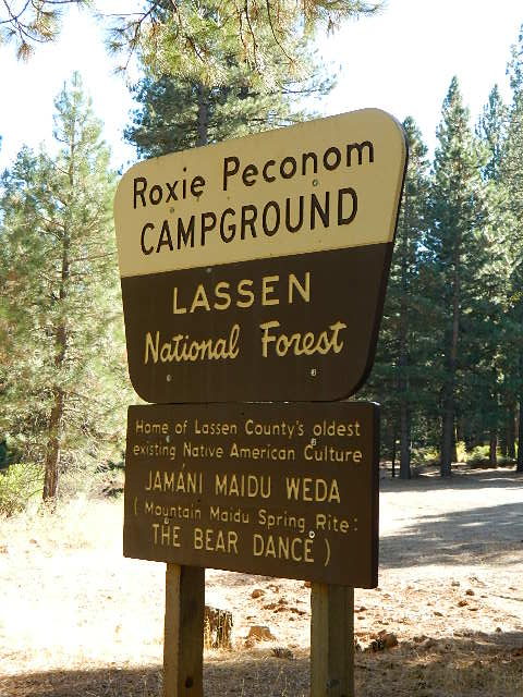
Susan River flows east toward downtown Susanville, underneath highway system. Roxie Peconom Campground (4800′) is on a feeder stream, to the south, on Willard Creek. Forested walk-in camp site w/ large, level drum circle for large gatherings. Awesome location, far enough off the main drag.

Autumn colors can be decent along Willard Creek in September and October. This camping area is only 3 miles from the Highway 36 (via dirt road) and sorta close to town. Only 13 miles (biking distance) west of Susanville, CA

Chaney Creek Road is a dirt road near Highway 36, which parallels the river, the red rock bluff and the road, downhill into town.

Roxie Sign
Jamani Maidu Weda
  • backpacking

  • camping

  • creeks

  • hiking

  • fishing

  • kayaking

  • lakes

  • mountain biking

  • off roading

hiker

Forest Road #29N03 is Gold Run Road, the bumpy dirt road – that skirts around Diamond Mountain on the south side. Lots of one laner dirt roads, which will require a National Forest map or a decent topo map to navigate properly. OHV is common in these areas, so if you seek peace and quiet and solitude, know how to red a map and where the dirt bikes are expected to be.

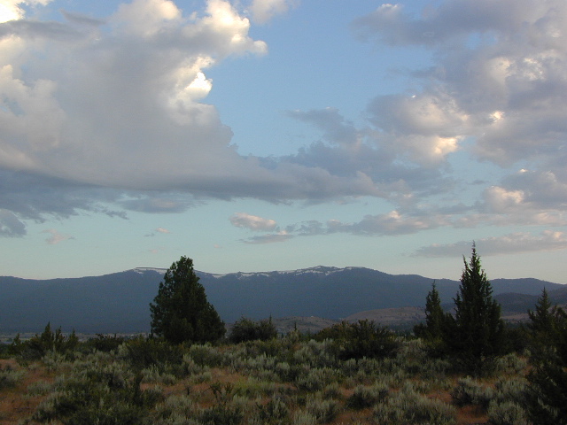
Susan Sky
Summer Skies over Susanville w/ Diamond Mountain peak

USFS Ranger Station is located on the west side, just outside of town, on the wide downhill grade @ the Eagle Lake turnoff. Cal Fire station is also located along this stretch of highway.

Lassen National Forest
Ranger Station USFS

CA-36 @ Eagle Lake Rd, Susanville, CA 96130
Susanville, CA 96130
530-257-4188

Cal Fire Station
697 CA-36, Susanville, CA 96130
530-257-4171


ranger

The main road (highway 36 & 44) through here, and the Susan River parallel the whole way – dropping into town. Slow descent into downtown, as sharp curves come up abruptly (without a stop light) and pavement becomes a 25 mph downtown w/ pedestrians.

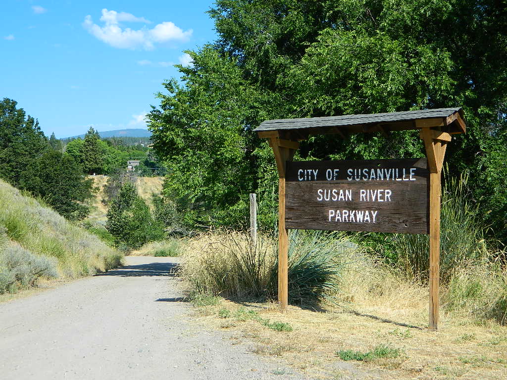
You can find the river by turning right (south) on Richmond,  through neighborhood. Susan River Parkway has some trails and picnic areas, with a ball field nearby. Hobo Camp is walking distance; biking and hiking trails abound.

Susanville Hiking Trails PDF
BLM Southside Trails

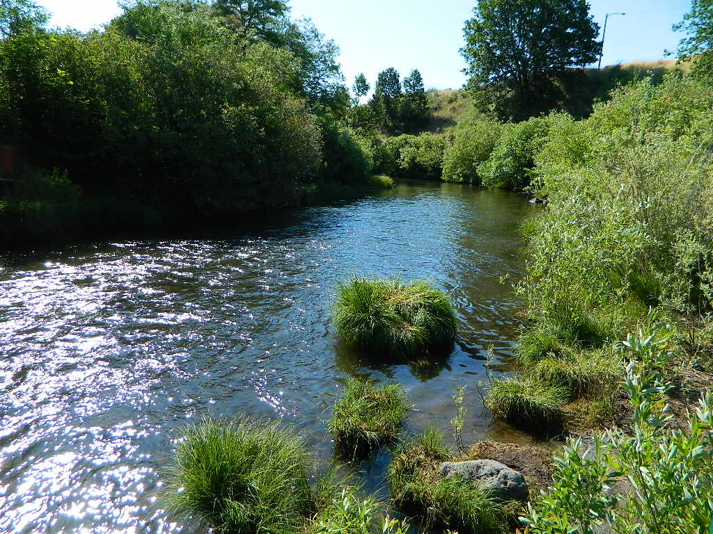
Susan River
Susan River in Susanville, CA
Susan River Parkway
Susan River Parkway

Small Park in Town
Small Park in Town

The Susan River was named after the daughter of early settler Isaac Roop, in 1857. The Museum Cabin homestead in downtown is that of Issac Roop, not Peter Lassen (as many mistakingly think).

The Susan River continues east to US Hwy 395, then southbound to enter the north Honey Lake. Lower lying deserts make up the Great Basin, which fills most of the state of Nevada.

Kern River California

mistykern
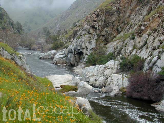
Lower Kern River Wildflowers in April

Kern River Recreation 

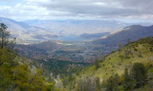
Due east of Bakersfield, CA the Kern Canyon’s massive rock opens to the west with big water. CA 178 Narrow 2-lane highway, lined by tall rock walls, cliffs, curves, few pull-outs and less guardrails. Geologically, the drive is impressive entering the canyon.

A large sign with death toll looms at the entrance, warning you to stay out and stay alive.

The Kern River is a southern flow, draining much of the southern mountains in the Sierra Nevada, including much Mount Whitney snow melt.  Lake Isabella redirects the river westward to the Central Valley, so farmers can grow orchards of fruit. Citrus blossom fragrance fills the air on warm evenings, so be prepared to roll down the windows as you exit suburbia.

hobocamp

Kern County: Southern Sierra Nevada mountains river canyon, this prized recreation destination is the main attraction for the entire county. Lake levels at Isabella are often low, so know before you go w/ the Dam Task Force web page link and info.

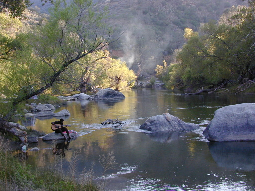
The few oak & pines trees around this river may be the only shade you will find in the summer on the southern end, and this place can get triple digit hot in summer months (so be forewarned). A refreshing dip in the cool Kern River is what you really seek, but this is a real river, a fast river, a dangerous white water river – so take extreme precautions around this river w/ life jackets. Hundreds have died already, as the sign tells us so. Rafters consider whitewater rating a Class V,  for most of the lower Kern section.kernriver3_i

Upper Kern: Main fork of the Kern River is situated along the Rincon Fault line, which become the granite gorge of Kern River Canyon further north; the initial snowmelt and headwaters are located deep in backcountry of the Golden Trout Wilderness. All draining the backside of Mount Whitney and the Great Western Divide.

raftkern

This larger,  main river fork parallels the Sierra Hwy north of Kernville, CA with many miles of epic scenery. Plenty of camping for all types, fishing, tubing, rafting, kayaking, mountain biking and backpackers trailheads.

NFS Kern Campgrounds; FREE CAMPING @ Kern Flats, also used as picnic areas and raft launch spots.

South fork of the Kern River begins up in the Golden Trout Wilderness. Tulare County. Eastern Sierra @ Olancha Peak. Monache Meadows, Inyo National Forest. The river traverses southward over the Kern plateau, Kennedy Meadows, Dome Land Wilderness. Chimney Peak Wilderness,  Long Valley Campground. At Pilot Knob (6200′ elev) the South Kern turns west to join Lake Isabella.

Lower Kern: West of Lake Isabella, the river continues tumbling down the rocky, oak hills below the Greenhorn Mountains and eventually ends up at Lake Ming, or downtown Bako.

Little Kern River: a smaller, western fork coming down from Quinn Peak (10,168′ elev) on the Great Western Divide in the Golden Trout Wilderness. It joins at the Forks of the Kern near Jerky Meadow.

Lake Isabella
Lake Isabella @ Kern Canyon

Kern River Canyon

The whole Kern Canyon region is part of Sequoia National Forest and always under a wildfire threat in the latter part of the year. Kern River is very popular with city dwellers seeking big Sierra water that is close to SoCal.

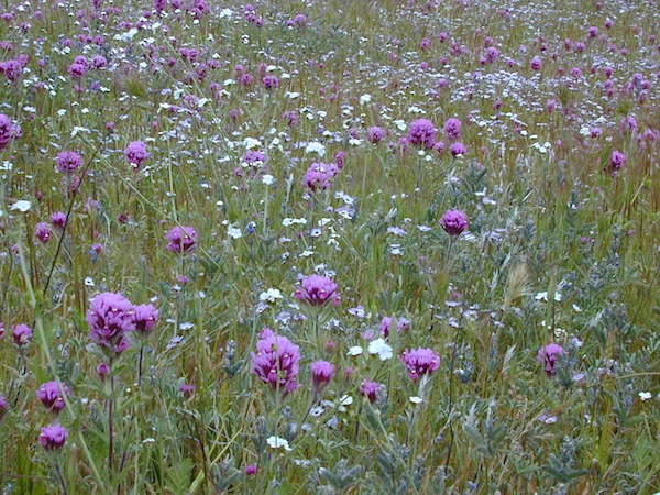
Wildflowers are incredible in Kern County overall, and the Kern Canyon is no exception. Lower Kern blooms earlier than Upper Kern. Old Kern Canyon Road is a scenic drive that parallels the highway where you can find flora blooming March – May. Above Kernville the wildflower showing may be short, but sweet. Large river Lupine can be found at almost every campground, while Golden Poppies and Owls Clover line meadows near the main highway.

owls clover kern
Upper Kern Wildflowers – Owls Clover

SEQUOIA kern map


Sequoia National Forest
Lake Isabella
USFS Headquarters ranger

Ranger Station
760-379-5236

Backpacking & Hiking Kern Canyon

A variety of terrain in the southern Sierra Nevada mountains will have you puzzled where to start. From cedar forests to Sequoia groves, mountain peaks to fishing creeks, granite domes to granite gorges, wildflowers to waterfalls, hot springs to hot summers, Kern County has it.

Winter backpacking is quite popular here, as snow levels do not drop as drastically as in other mountain locations. Elevations from 1000′ – 4000′ are often ideal for winter hiking trips. Summer is usually best in the higher elevations, above 5000′

Wilderness permits are required for backcountry overnight stays.

Kern Hiking trailheadshiker

PCT HIKING TRAIL – The Pacific Crest Trail passes over the Kern Plateau from Walker Pass @ 178 to Kennedy Meadows @ J41.

pct

trail steps

All Kern Campgrounds

Sequoia NF, BLM & Private Camps

On Kern River; North of Lake Isabellacamp

HEADQUARTERS Campground
CAMP 3 Campground
HOSPITAL FLAT Campground
GOLD LEDGE Campground
FAIRVIEW Campground
FRANDY Campground
Camp Kernville

On Kern River; West of Lake Isabella

KEYESVILLE Camping OHV
SANDY FLAT Campground

On or Near Lake Isabella

LIVE OAK Campground
TILLIE CREEK Campground
BOULDER GULCH Campground
CAMP 9 Campground
HUNGRY GULCH Camp
OLD ISABELLA Camping
PIONEER POINT Campground
PARADISE COVE Camping
SOUTH FORK Camping
Lake Isabella RV Resort
Lake Isabella Kern River KOA

rafterspaddling_i

More on Kern Canyon Camping

campchef

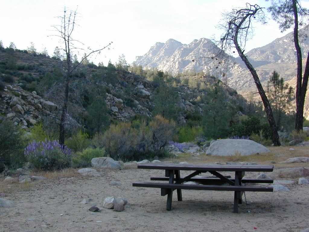
open campingFree camping, boondocking and primitive camping options are found near small streams and along the back roads of the neighboring Sequoia National Forest areas. Most secluded camps can be found 25+ miles north of Kernville, well away from the Kern River on the feeder creeks that flow into the big river. Dirt road driving may be required to find the most secluded camp spot. See more on Sequoia dispersed camping on back roads.

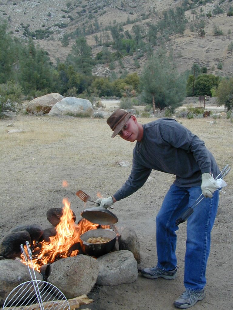
campfireCampfire Permits are required for back roads primitive camping in this tinder-box region. More often than not, fire restrictions prohibit campfires during dry conditions. Hot summers, even lasting well into autumn. Obtain a free fire permit online or from the local rangers and be sure to find out if any restrictions are currently in place. USFS Ranger stations are located in downtown Kernville and at Lake Isabella. kerncampground
Towns along Kern River:

kernclok

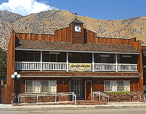
rustic lodging near Kern River Canyon

TH_GoldenTroutSQ
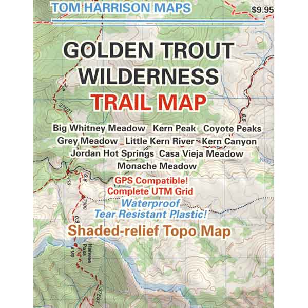
Golden Trout Trail Map

Maps for Kern Canyon Region