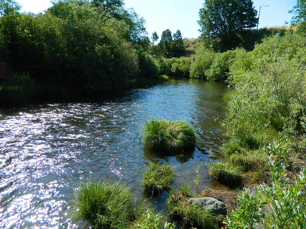
Susan River California
67 miles long, northern boundary of the Sierra Nevada
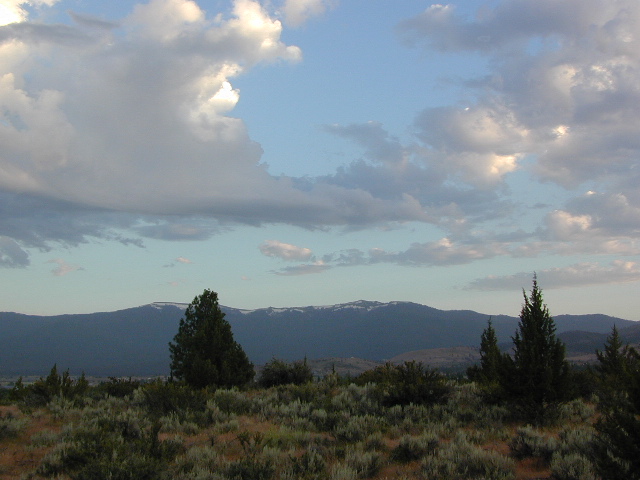
Lassen Peak to Susanville, CA

California’s Susan River begins way up @ Caribou Lake (6,571′ elevation) , on the east side of Lassen Peak at an altitude of 10,457′ inside the Caribou Wilderness.

Silver Lake (6400′ elev) at the Silver Bowl w/ Lassen National Forest Road #10 being the main, north-south access route, on the west side of A21.
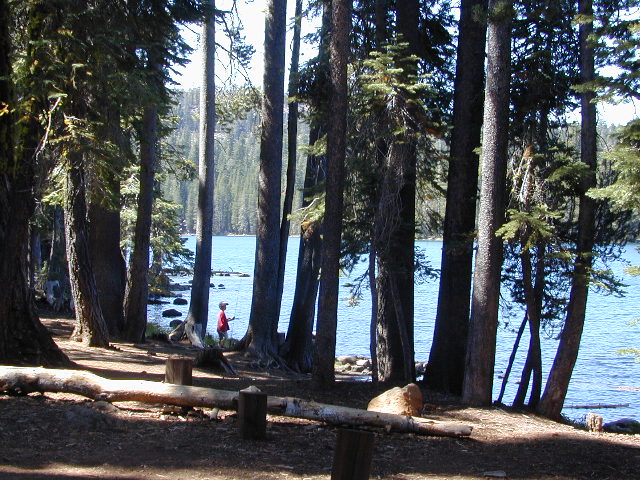
Rocky Knoll Campground, Hourglass Lake, Hidden Lake, Tule Lake, Pine Lake. PCT is located 10 miles to the west of this area, running north-south through the center of the National Park.
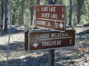
- Hay Meadows Trailhead
- Caribou Lake Trailhead
Susan River follows Silver Lake Road down to Mooney Road A21. Backpacking, fishing and hiking are main attractions out here in the undeveloped lands, but snow can close these routes and trailheads for half the year. Expect crowds on summer weekends, as the Volcanic National Park pulls in a lot of visitors – and those tend to filter over to the outlying regions like the rivers and National Forest.

Road A21
The Susan River Campground [CLOSED 2020] and Swains Campground, developed NFS campgrounds located on Mooney Rd (aka A21), due N of Westwood, CA
Lassen County Rd #A21 is a minimal signed road, near gas station on Hwy 36; Lassen County A21 is a paved road and very forested, with no services. A forested route which parallels Robber’s Creek, all this above Lake Almanor.
EAST BOUND
Susan River flows into the Great Basin – not the Pacific Ocean, like most rivers in California. After exiting the slopes of Lassen, the Susan River descends downhill along Highway 44, to McCoy Flat Reservoir (5556′) and then on to Hog Flat Reservoir (5494′) w/ access road #30N06.

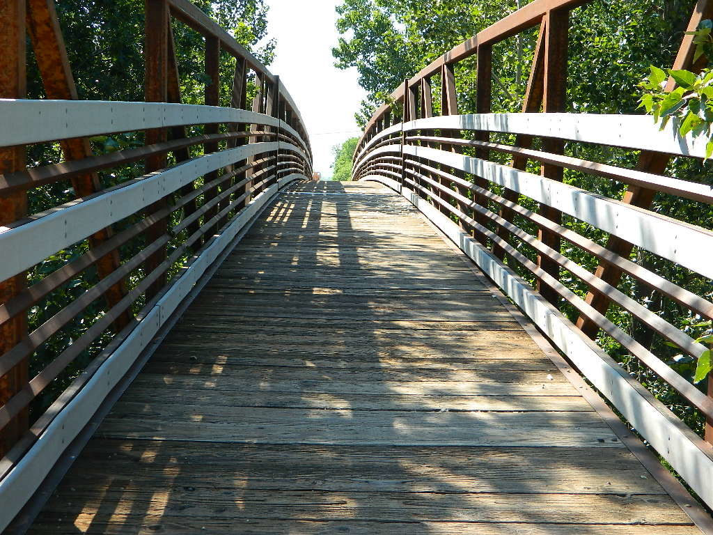
NFS Gomez Campground (5200′) is situated along the Susan River, on Road #30N03. Camp centrally located near both highways, with rail road tracks and access to a popular NRT (National Recreation Trail), the Biz Johnson Trail (BLM).![]()
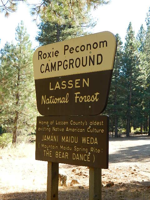
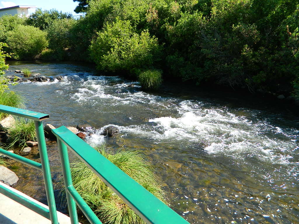
Susan River flows east toward downtown Susanville, underneath highway system. Roxie Peconom Campground (4800′) is on a feeder stream, to the south, on Willard Creek. Forested walk-in camp site w/ large, level drum circle for large gatherings. Awesome location, far enough off the main drag.
Autumn colors can be decent along Willard Creek in September and October. This camping area is only 3 miles from the Highway 36 (via dirt road) and sorta close to town. Only 13 miles (biking distance) west of Susanville, CA
Chaney Creek Road is a dirt road near Highway 36, which parallels the river, the red rock bluff and the road, downhill into town.
-
backpacking
-
camping
-
creeks
-
hiking
-
fishing
-
kayaking
-
lakes
-
mountain biking
-
off roading
Forest Road #29N03 is Gold Run Road, the bumpy dirt road – that skirts around Diamond Mountain on the south side. Lots of one laner dirt roads, which will require a National Forest map or a decent topo map to navigate properly. OHV is common in these areas, so if you seek peace and quiet and solitude, know how to red a map and where the dirt bikes are expected to be.
USFS Ranger Station is located on the west side, just outside of town, on the wide downhill grade @ the Eagle Lake turnoff. Cal Fire station is also located along this stretch of highway.
Lassen National Forest
Ranger Station USFS
CA-36 @ Eagle Lake Rd, Susanville, CA 96130
Susanville, CA 96130
530-257-4188
Cal Fire Station
697 CA-36, Susanville, CA 96130
530-257-4171

The main road (highway 36 & 44) through here, and the Susan River parallel the whole way – dropping into town. Slow descent into downtown, as sharp curves come up abruptly (without a stop light) and pavement becomes a 25 mph downtown w/ pedestrians.
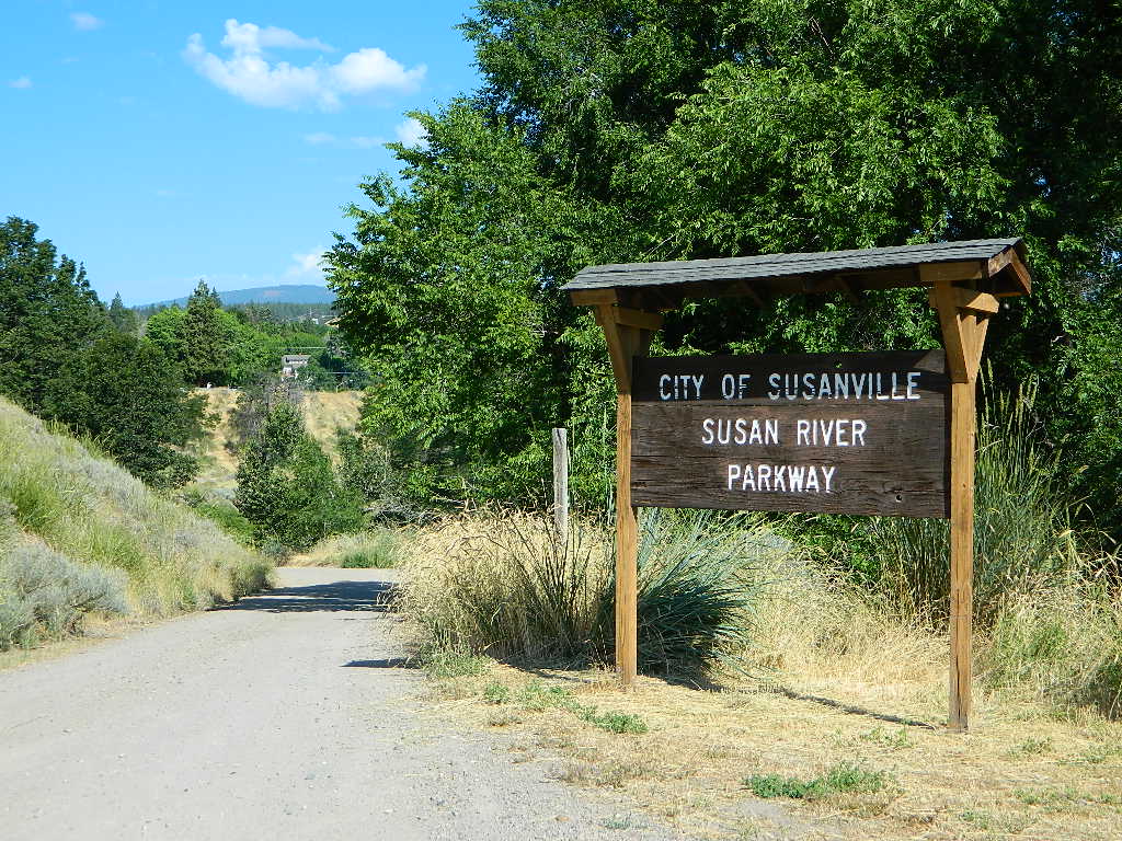
You can find the river by turning right (south) on Richmond, through neighborhood. Susan River Parkway has some trails and picnic areas, with a ball field nearby. Hobo Camp is walking distance; biking and hiking trails abound.
Susanville Hiking Trails PDF
BLM Southside Trails
The Susan River was named after the daughter of early settler Isaac Roop, in 1857. The Museum Cabin homestead in downtown is that of Issac Roop, not Peter Lassen (as many mistakingly think).
The Susan River continues east to US Hwy 395, then southbound to enter the north Honey Lake. Lower lying deserts make up the Great Basin, which fills most of the state of Nevada.
