Tag Archives: off-road

Stanislaus River California

stanislaus
Stanislaus River, Sonora Pass

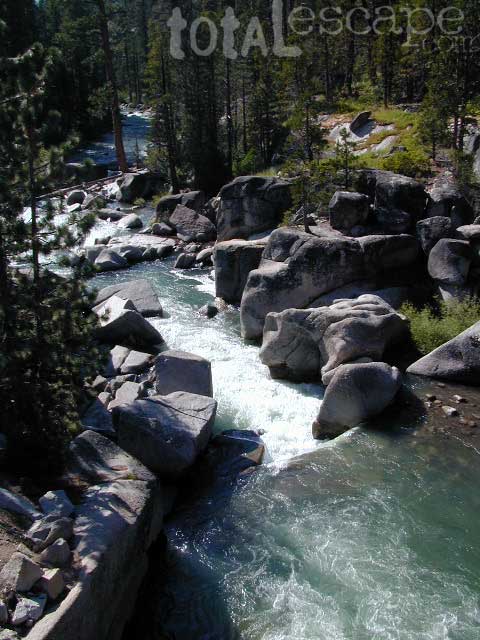
Stanislaus River

Central Sierra Nevada Mountains
Sonora Pass CA 108 / Ebbetts Pass CA 4
Stanislaus National Forest

The Sierra Nevada mountain route that usually closes first and opens last, due to snow and rock slides . Sonora Pass snow is epic, but often unaccessible most of the year. Snow melt can be slow and this route may not open by until mid-summer. (Quite typical on this highway). Check Cal Trans Hwy Reports. Summer and early Autumn is the time to visit this region, so plan accordingly.

Stanislaus National Forest

This Big Sierra River is so far reaching that it covers areas from two different Wilderness Areas and two Sierra highway systems: Sonora Pass 108 & Ebbetts Pass Hwy 4.

The North Fork of Stanislaus River starts up at Highland Creek (below Highland Lakes) and parallels the Ebbetts Pass pavement westward down the mountain. Numerous lakes and parks along this steep northern fork, all lined with impressive granite rock. Spicer Reservoir, Elephant Rock, Summit LakeCalaveras Big Trees State Park and Stanislaus National Forest.

Middle Fork of Stanislaus River, overview

  • Clark Fork flowing from the Dardanelles in Carson Peak Wilderness, become the Middle Fork of the Stanislaus River. Numerous Campgrounds, RV camps, horse camps along Clark Fork Road. California Highway 108 may still have  a real old fashioned pay phone at this intersection. Go look.
  • Kennedy Creek comes in from the south side of the highway and creates Kennedy Meadows, a horse packing ranch; Not to be confused with the Kern Kennedy Meadows, way down south.
  • Eagle Creek and Kennedy, plus the Clark Fork are the main headwaters to Stanislaus River making up the Middle fork of this river. Traveling southwest thru the forest, with numerous Reservoirs and plenty of campgrounds.

Middle Fork comes together near the Fence Creek Campground @ Hwy 108. Flowing downhill to join Donnell Lake, then 10 miles of ‘really rugged wild river’ down to Beardsley Lake, then to Sand Bar Flat Campground further below, and on towards the county line @ Calaveras.

South Fork Stanislaus, the shortest of the forks, flows down from Pinecrest Lake, Dodge Ridge Ski Resort and the Emigrant Wilderness Area. Then hits Lyons Reservoir (4228′ elev) near the community of Long Barn, CA Italian Bar brings it right down to Historical Gold Camp, Columbia.

Eventually the massive Stanislaus River ends up in the San Joaquin (Central) Valley, like most of the Western Sierra rivers do, growing the food crops for all. California is a huge agriculture state.
volcanomdws
Volcanic Dardanelles

Backpacking Big Wilderness 

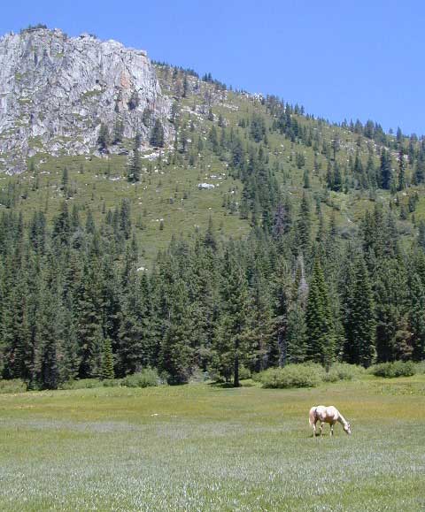
With Wilderness making up the majority of the landscape around these river canyons , there is ample opportunity for day hiking, creek fishing and backpacking adventures. May as well plan for a full week off of work, if you wanna explore in some depth. Many trailheads have small parking lots located on dirt roads, which are usually passenger car accessible.

Carson Iceberg Wilderness
Emigrant Wilderness

pctPCT = The Pacific Crest hiking trail cuts right across the tallest Sierra Nevada mountain pass – Sonora Pass 108 @ 9625′ elev.

Black Bears are common in this region and several areas have bear boxes for proper food storage. If not available, you’ll need a bear canister or learn to properly hang your food in a tree.

Winter closures due to deep snow is common more than half the year up here. Check Cal Trans for highway conditions and w/ local rangers to find out what back roads are open, and which ones are too muddy. 4WD may be needed to reach certain destinations, if snow & mud are still present. Winter SNOW CAN LAST UP HERE: on the peaks all summer long; And snow can start falling as early as October, so know the forecast before you set out on a major backcountry trip.

Wilderness permits are required for overnight stays in the backcountry. Stop by a ranger station to get the latest details before your big trek into the woods. USFS web sites are not always so up-to-date. A phone call or personal visit may be needed to get accurate info.

hikerHiking Trailheads:

PCT Sonora Pass
Seven Pines
Kennedy Meadows
Columns of the Giants
Clarks Fork
Iceberg Meadow
Donnell Vista Point
Wheats Meadow
County Line
Bummers Flat
Sand Bar Flat

Stanislaus Ranger Stations ranger

Stanislaus Forest Headquarters
19777 Greenley Road
Gold Country @ Hwy 49
Sonora, CA 95370
209-532-3671ranger

Summit Ranger District
#1 Pinecrest Lake Road
Highway 108 (Sonora Pass)
Pinecrest, CA 95364
209-965-3434

Calaveras Ranger District
5519 Highway 4 (Ebbetts Pass)
Hathaway Pines, CA 95233
209-795-1381

USFS @ Highway 4
Mi-Wuk Village, CA
[CLOSED to PUBLIC]
SonoraHwy
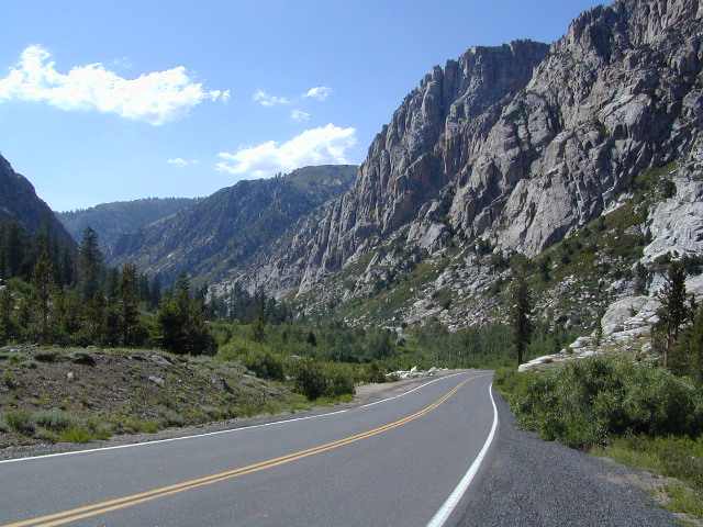
Massive Granite, California Hwy 108 – West Sonora Pass

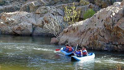
River Rafting on the Stanislaus River
Sierra
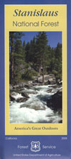
Stanislaus Map

Outdoor Recreation:

  • Backpacking
  • Boating
  • Camping
  • Fishing
  • Hiking
  • Hunting
  • Kayaking
  • Mountaineering
  • Off-Roading
  • River Rafting
  • Rock Climbing
  • Snow Skiing
  • Stargazingsnow
  • Wilderness
  • Wildflowers

Forest & Parks along this River:

icebergmdw
Horse Camping @ Iceberg Meadow, Clark’s Fork

Sierra Mountain Lodging

lodge

Sonora, CA
Twain Harte
Pinecrest
Dardanelle
Lake Alpine
Arnold, CA
Murphys, CA
Motel Rooms
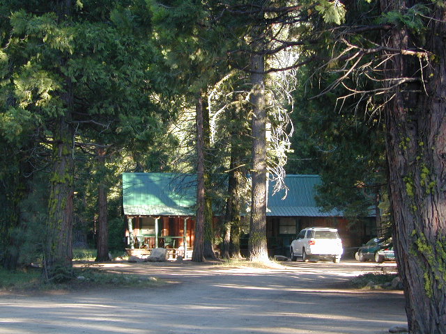
Motel Rooms @ Dardanelle, CA

Best CampsBest Camps are always on the Back Roads

USFS

NFS Campgrounds along this River 

North fork of Stanislaus

Highland Lakes Campground
Sour Grass Campground
Spicer Reservoir Campground

Middle Fork of Stanislaus

campBoulder Flat Campground
Brighten Flat Campground
Dardanelle Campground
Pigeon Flat Campground
Eureka Valley Campground
Baker Campground
Deadman Campground
Clark Fork Horse Camp
Clark Fork Campground
Fence Creek Campground
Sand Flat Campground
Cascade Creek Campground
Sand Bar Flat Campground

South Fork of Stanislaus

Fraser Flat Campground
Pinecrest Lake Campground
Highland Lake
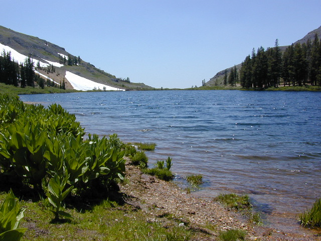
Highland Lakes

Dispersed Camping Mid-Sierra

The Wilderness boundaries on each side of the pavement (CA 108) along with giant granite walls, steep cliffs, boulders, wild raging rivers and dense forests make dirt road accessibility somewhat limited along the Sonora Pass Highway. Ebbetts (CA 4) has more dirt road accessibility, especially beyond Beardsley Lake.

County Line Road #6N06 will take you past a developed NFS Camp called Fence Creek  Campground. The dirt road climbs into the forest meadows, with 2 trailheads to be found within a few miles.  Horse Corral at Wheats Meadow. Numerous primitive campsites for backpackers, car campers, horse campers. Lush meadows, hidden forests, boulder outcroppings, dead end roads.

Back behind Pinecrest Lake & Dodge Ridge Ski are several dirt road loops w/ primitive camping at
Bell Meadow 
Crabtree

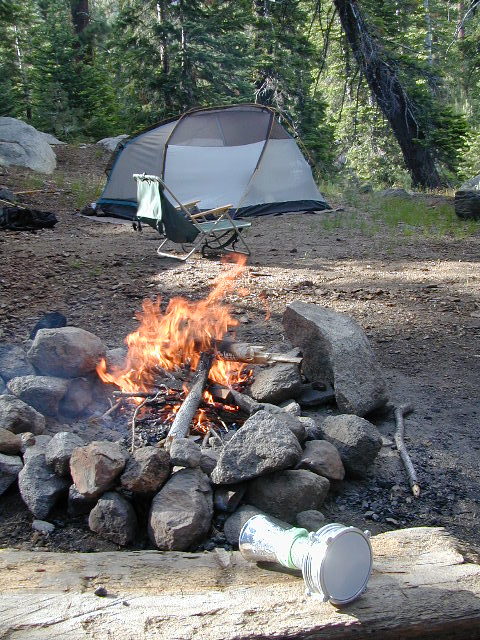
campfireCampfire permits are Required for camping outside of developed NFS campgrounds. Obtain a free campfire permit before you build a fire. Have a bucket and shovel at camp, always; attend the fire at all times.

Levitt Lake @ 9556′ elev, on the eastern slope of Sonora Pass has rocky road to wonderful scenery. Mid summer snow melt, so bring the good jacket – even in summer. High elevation camping, hiking, kayaking; rock scrambling at tree line. This alpine lake best reached with high clearance vehicle.

camptruck

Union, Utica, and Spicer Reservoirs have a few dirt roads to explore off Spicer Rd #7N01, with abundant trails for hiking and mountain biking.  Tons of firewood, free for the cutting. Bring your saw!

Kayaking and canoeing are popular at both Union and Utica. Dirt road access. No motors on lake. FREE LAKE CAMP: Shoreline camping is possible, but summer crowds  – can get downright insane. Nothing like a traffic jam in the middle of nowhere. Big families camping out all week long w/ all their toys, tents, multiple vehicles. Try to visit in the off-season for the best experience at these 2 lovely lakes. Spicer has developed campgrounds w/ fees, but has real boat ramps and can also  accommodate RV campers.
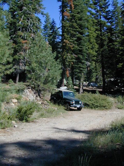
Jeep Roads Sierra

OHV Trails Stanislaus 

4x44×4 camps and dirt bike trails can be found at Niagra Creek, on the south side of Highway 108, before Clarks Fork.

Union Reservoir has a popular 4WD trail that connects up to Lake Alpine @ Ebbetts Pass.

BACK ROADS TIP
Regular dirt roads can become “4WD needed” with any decent amount of snow or heavy rains, especially on the steeper sections. Remember: No guard rails on the dirt roads. If you plan to camp ‘way back in there, in  the boonies’ – make sure you know the weather forecast and have a vehicle that can get out; no matter how sloppy the road gets. Thunderstorms are possible. Snow is 75% of the year.
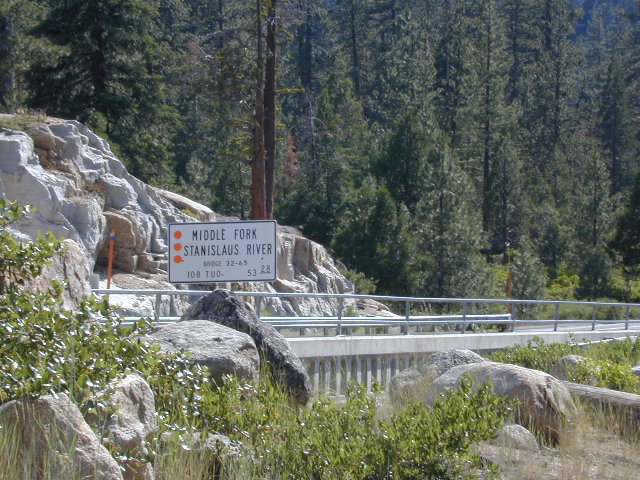
BridgeSonora

Towns along Stanislaus River:

RV

StanislausTopoAtlas
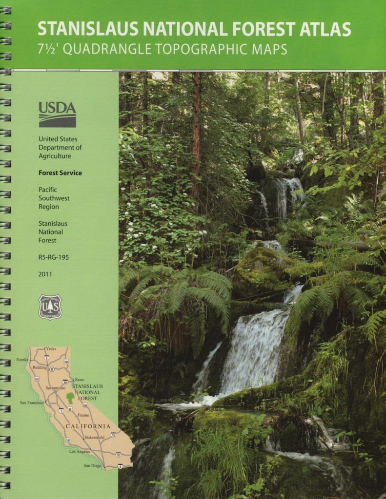
Stanislaus Topo Atlas

Maps on Stanislaus:

Stanislaus National Forest Map USDA
Stanislaus Topo Atlas USDA
Carson Iceberg Wilderness Map USDA
Carson Emigrant NatGeo Map
Emigrant Wilderness Maps
Restrooms
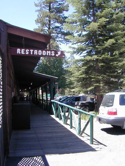
Restrooms w/ Showers @ Dardanelle, CA

Links about Stanislaus River:

USFS – North Fork Stanislaus RiverUS Army Corp of Engineers: Stanislaus River Parks
Stanislaus River Salmon Festival
Lower Stanislaus River Fly Fishing

Stanislaus River Rafting
Stanislaus River – Class 3 Rapids @ Camp 9
DFG – Stanislaus River Report
Sonora Back Roads
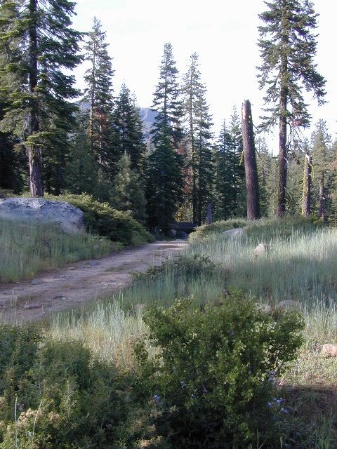
Sonora Back Roads


Moab, Utah

Moab UTAH
Red Rock Country is Outdoor Heaven

moabUT

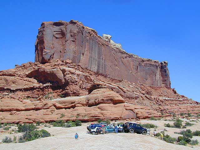
If there is one way to get the Total Escape crew outta California, it will be with the enticing red rock landscapes of Utah. The amazing spanse of colorful desert is enough to inspire any nature lover down to their soul.

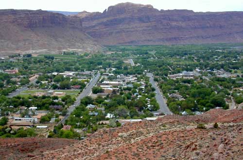
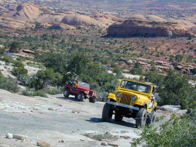
Moab, Utah was a sleepy little, rural town until about the 1980’s when the Jeeps took over. Numerous, annual off road events, plus the rise of mountain biking, new hotel development in town, and sheer “word of mouth” made Moab what it is today – a bustling, busy, tourist village with restaurants, brewery, and lodging.

Off Road Mecca of Moab UT

 Desert

terrain: high desert canyons and mountain peaks

elevation: 4000′
population: 5,253

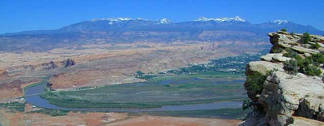
terrain: High elevation red rock desert paradise. A deep river valley surrounded by snow capped peaks & red rock grandure.

location:
South Eastern Utah
Grand County
south of Interstate 70 on Hwy. 191

description: This locale has boomed in the last few decades with a determined focus on outdoor activities. The town is a recreation mecca set in the vast beautiful desert of southwestern Utah.

Amazingly scenic spot set in red rock landscapes along rivers – with abundant outdoor recreation around every corner. Snow capped mountains are a scenic backdrop for more than half the year.

4x4

4WD – 4×4

area activities:

  • off-roading
  • rock crawling
  • mountain biking
  • dirt biking
  • rock climbing
  • river rafting
  • shops in village
  • restaurants
  • river kayaking
  • hiking
  • camping
  • picnics

camp

local links:

Moab Area Chamber of Commerce
805 North Main Street
Moab, Utah
435-259-7814

DiscoverMoab.com

Moab-Utah.com

maverick
Maverick, Moab Utah

Parks, Rivers and Forests
surrounding Moab Valley, Utah

There is plenty land for solitude, just make sure to keep the peace. Don’t be honking at any cattle in the roadway. Stressed out city folks will soon be put in their place out in these parts. It is best to plan a full week vacation to thoroughly enjoy this awesome red rock location.

Moab Area Maps

Moab Cyn Hike 2003

Best Hikes in Moab:

dirtbikes

Moab Mountain Biking Trails

check

Try this adventure: Drive from Saint George to Moab — on almost all dirt roads! No traffic lights for 5 full days. Weaving in & out of all the National Park & National Forest lands is an experience of a lifetime. Plenty of great dispersed camping – everywhere.

camera see our 150 Utah photos on Flickr

umbrellaMay through October is the best months to try this road trip, but be aware that there is a monsoon season here: Thunderstorms and flash floods are possible late summer into autumn.
Kern River California

mistykern
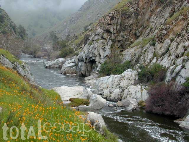
Lower Kern River Wildflowers in April

Kern River Recreation 

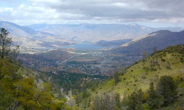
Due east of Bakersfield, CA the Kern Canyon’s massive rock opens to the west with big water. CA 178 Narrow 2-lane highway, lined by tall rock walls, cliffs, curves, few pull-outs and less guardrails. Geologically, the drive is impressive entering the canyon.

A large sign with death toll looms at the entrance, warning you to stay out and stay alive.

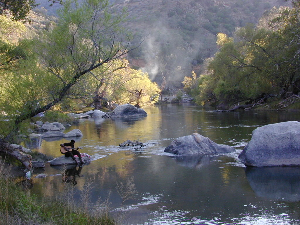
The Kern River is a southern flow, draining much of the southern mountains in the Sierra Nevada, including much Mount Whitney snow melt.  Lake Isabella redirects the river westward to the Central Valley, so farmers can grow orchards of fruit. Citrus blossom fragrance fills the air on warm evenings, so be prepared to roll down the windows as you exit suburbia.

hobocamp

Kern County: Southern Sierra Nevada mountains river canyon, this prized recreation destination is the main attraction for the entire county. Lake levels at Isabella are often low, so know before you go w/ the Dam Task Force web page link and info.

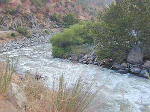
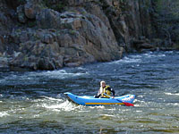
The few oak & pines trees around this river may be the only shade you will find in the summer on the southern end, and this place can get triple digit hot in summer months (so be forewarned). A refreshing dip in the cool Kern River is what you really seek, but this is a real river, a fast river, a dangerous white water river – so take extreme precautions around this river w/ life jackets. Hundreds have died already, as the sign tells us so. Rafters consider whitewater rating a Class V,  for most of the lower Kern section.kernriver3_i

Upper Kern: Main fork of the Kern River is situated along the Rincon Fault line, which become the granite gorge of Kern River Canyon further north; the initial snowmelt and headwaters are located deep in backcountry of the Golden Trout Wilderness. All draining the backside of Mount Whitney and the Great Western Divide.

raftkern

This larger,  main river fork parallels the Sierra Hwy north of Kernville, CA with many miles of epic scenery. Plenty of camping for all types, fishing, tubing, rafting, kayaking, mountain biking and backpackers trailheads.

NFS Kern Campgrounds; FREE CAMPING @ Kern Flats, also used as picnic areas and raft launch spots.

South fork of the Kern River begins up in the Golden Trout Wilderness. Tulare County. Eastern Sierra @ Olancha Peak. Monache Meadows, Inyo National Forest. The river traverses southward over the Kern plateau, Kennedy Meadows, Dome Land Wilderness. Chimney Peak Wilderness,  Long Valley Campground. At Pilot Knob (6200′ elev) the South Kern turns west to join Lake Isabella.

Lower Kern: West of Lake Isabella, the river continues tumbling down the rocky, oak hills below the Greenhorn Mountains and eventually ends up at Lake Ming, or downtown Bako.

Little Kern River: a smaller, western fork coming down from Quinn Peak (10,168′ elev) on the Great Western Divide in the Golden Trout Wilderness. It joins at the Forks of the Kern near Jerky Meadow.

Lake Isabella
Lake Isabella @ Kern Canyon

Kern River Canyon

The whole Kern Canyon region is part of Sequoia National Forest and always under a wildfire threat in the latter part of the year. Kern River is very popular with city dwellers seeking big Sierra water that is close to SoCal.

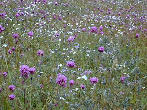
Wildflowers are incredible in Kern County overall, and the Kern Canyon is no exception. Lower Kern blooms earlier than Upper Kern. Old Kern Canyon Road is a scenic drive that parallels the highway where you can find flora blooming March – May. Above Kernville the wildflower showing may be short, but sweet. Large river Lupine can be found at almost every campground, while Golden Poppies and Owls Clover line meadows near the main highway.

owls clover kern
Upper Kern Wildflowers – Owls Clover

SEQUOIA kern map


Sequoia National Forest
Lake Isabella
USFS Headquarters ranger

Ranger Station
760-379-5236

Backpacking & Hiking Kern Canyon

A variety of terrain in the southern Sierra Nevada mountains will have you puzzled where to start. From cedar forests to Sequoia groves, mountain peaks to fishing creeks, granite domes to granite gorges, wildflowers to waterfalls, hot springs to hot summers, Kern County has it.

Winter backpacking is quite popular here, as snow levels do not drop as drastically as in other mountain locations. Elevations from 1000′ – 4000′ are often ideal for winter hiking trips. Summer is usually best in the higher elevations, above 5000′

Wilderness permits are required for backcountry overnight stays.

Kern Hiking trailheadshiker

PCT HIKING TRAIL – The Pacific Crest Trail passes over the Kern Plateau from Walker Pass @ 178 to Kennedy Meadows @ J41.

pct

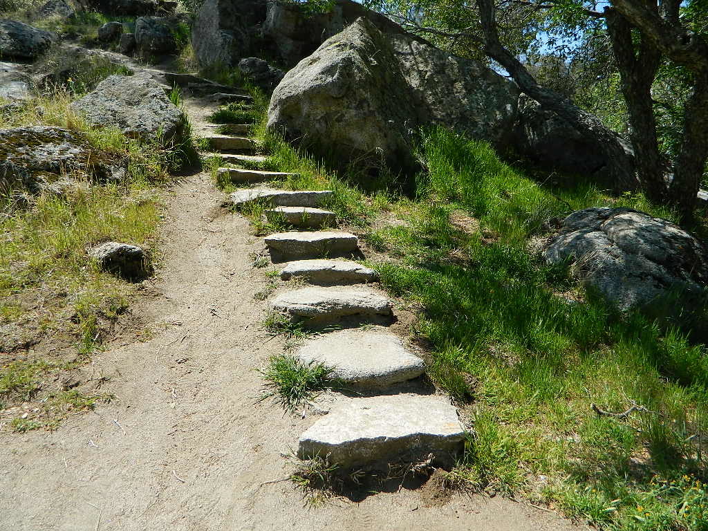
trail steps

All Kern Campgrounds

Sequoia NF, BLM & Private Camps

On Kern River; North of Lake Isabellacamp

HEADQUARTERS Campground
CAMP 3 Campground
HOSPITAL FLAT Campground
GOLD LEDGE Campground
FAIRVIEW Campground
FRANDY Campground
Camp Kernville

On Kern River; West of Lake Isabella

KEYESVILLE Camping OHV
SANDY FLAT Campground

On or Near Lake Isabella

LIVE OAK Campground
TILLIE CREEK Campground
BOULDER GULCH Campground
CAMP 9 Campground
HUNGRY GULCH Camp
OLD ISABELLA Camping
PIONEER POINT Campground
PARADISE COVE Camping
SOUTH FORK Camping
Lake Isabella RV Resort
Lake Isabella Kern River KOA

rafterspaddling_i

More on Kern Canyon Camping

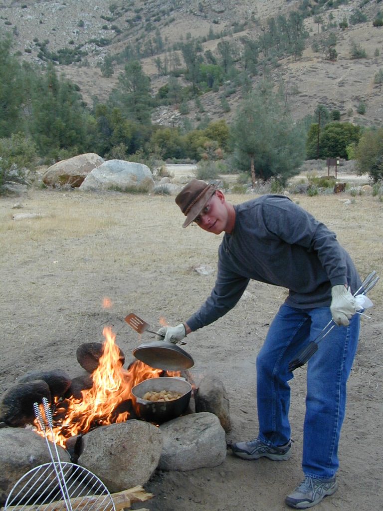
campchef

open campingFree camping, boondocking and primitive camping options are found near small streams and along the back roads of the neighboring Sequoia National Forest areas. Most secluded camps can be found 25+ miles north of Kernville, well away from the Kern River on the feeder creeks that flow into the big river. Dirt road driving may be required to find the most secluded camp spot. See more on Sequoia dispersed camping on back roads.

campfireCampfire Permits are required for back roads primitive camping in this tinder-box region. More often than not, fire restrictions prohibit campfires during dry conditions. Hot summers, even lasting well into autumn. Obtain a free fire permit online or from the local rangers and be sure to find out if any restrictions are currently in place. USFS Ranger stations are located in downtown Kernville and at Lake Isabella. kerncampground

Towns along Kern River:

kernclok

rustic lodging near Kern River Canyon

TH_GoldenTroutSQ
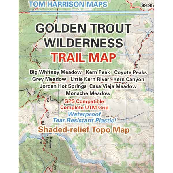
Golden Trout Trail Map

Maps for Kern Canyon Region


Panamint City California

panahills
Photo Credit © Lttlbddy Steve Gardiner

Panamint City, a super remote mining camp on the edge of Death Valley National Park

elevation: 7300′

(Not to be confused w/ Panamint Springs, CA which is NW, along the main Highway 190 on the west side of DVNPhiker

Panamint Valley, Death Valley NP
Inyo County, NE of Ridgecrest
East of Hwy 395, south of Hwy 190

Hard to reach ghost town / abandoned mining camp on the mountainous edge of Death Valley National Park. Access via dirt road and steep trail,  off the paved Trona Wildrose Road. Panamint Valley, west of Death Valley

best time to visit: November – April
Triple digit heat is common in the warmer months, so spring, autumn and winter time is best for this region, but beware of winter storms.snow

Snow is common on  the peaks, and at higher elevations (like this place) during winter (DEC-APRIL). If you see trees on the terrain – joshua trees or pinyon pines, that indicates that snow falls here often enough. Snow is possible around Death Valley, down to 3000′ elev. during coldest of winter storms.

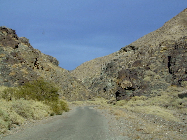
Surprise Canyon Wilderness BLM – Desert mountains, steep rocky terrain w/ peaks and very few trees. Surprise Canyon can become a waterfall, during heavy desert rains. The canyon is the  only access up to reach this hidden town4x4

NO MORE 4×4
Hike or backpack up Surprise Canyon
No longer 4WD accessible .Gotta hike it on foot now. So get that fat ass outta the rig for some elevated heart rate (real exercise).

This desert destination used to be a very popular off-road trail, where Jeeps would wench and crawl up the narrow, rocky passage; but all that changed with a wilderness designation (1994)  and no longer are machines allowed in this specific canyon area. No vehicles (engines) and no mountain bikes. No wheeled anything.

Off-roading and free-wheelin is still allowed and abundant in neighboring canyons of Nadeau Road & Panamint Valley – Pleasant Canyon, South Park Canyon, Jailhouse Canyon, Goler Wash, Isham Canyon

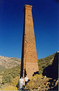
stack
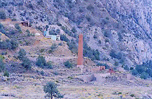
Smoke stack has collapsed in the recent past, so this structure is no longer standing. Photo Credit © Lttlbddy Steve Gardiner

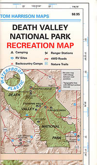
DVNP Topo Map

area activities & links:

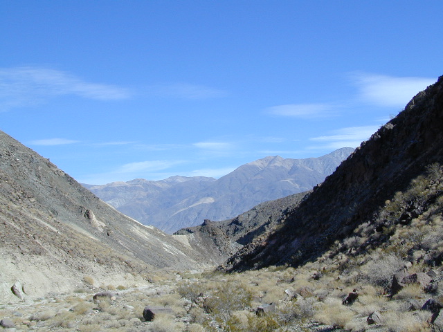
  • lookinN
    Looking north in a neighboring canyon

    Campgrounds nearby –

    Ballarat ghost town has a camper bathroom w/ showers and a fee to go along with that. Panamint Springs has a small motel and a big restaurant, plus a large campground (across the highway) which can accommodate tents, camper trailers and RVs.

    campDeath Valley National Park boundary means developed campgrounds are a few miles away up Wildrose Canyon.


  • Primitive Camping around Panamint Valley

    Boon-docking, dispersed, FREE, open camping is allowed almost anywhere in Panamint Valley and the neighboring desert canyons. Campfire permits are required and are available at BLM office in Ridgecrest. There is no firewood, nor wood collecting around these parts, so bring your own.

    camptruck

    Nadeau Road has abundant flat spots for RVs; Well stocked 4x4s can find secluded camping further up the canyons, but must be a self-sufficient camper and bring water, plenty of ice, extra gasoline, food and firewood.

    More Mining Camps & towns nearby:check

    Ballarat, CA
    Pleasant Canyon
    Randsburg, CA
    Skidoo, DVNP
    Tucki Mine, DVNP

    wildrosedrive
    Wildrose Canyon Road, DVNP

    lodging nearby – lodge

    Locating a ‘real bed’ near this remote desert region will require some driving. The closest option in Panamint Springs, which only has a few rooms. The next closest, would be Stovepipe Wells inside the National Park.

    mike_up5
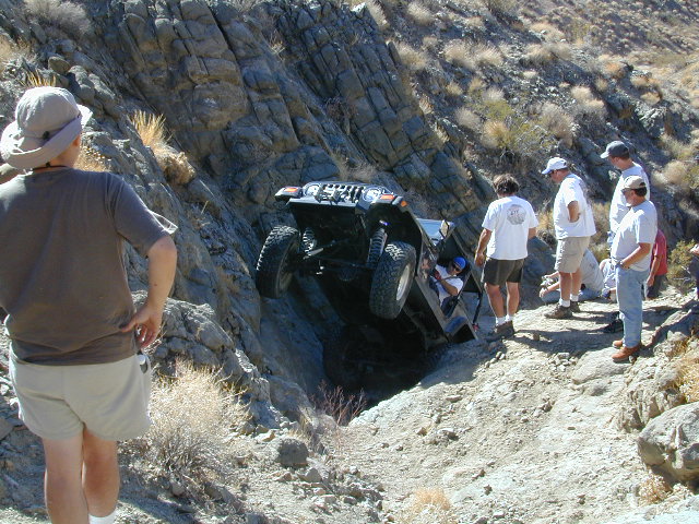
    This is the kinda wheeling craziness that goes on in other canyons nearby.
    bestnite
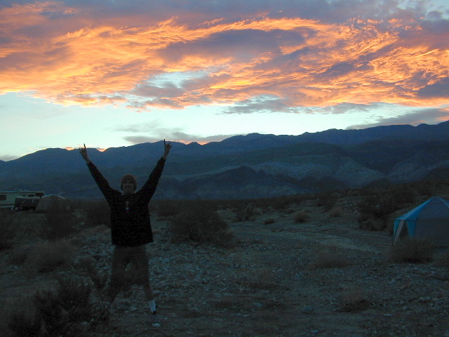
    Leon from San Diego enjoys a spontaneous vacation.

    Camping in Panamint Valley is best in cooler months.  NOTE: Triple digit heat in summer!