Trinity River of Northern California
south – west – north
& finally into the Klamath River
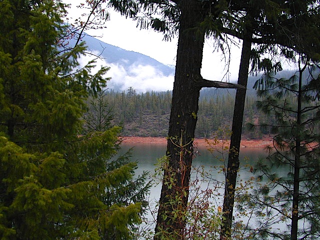
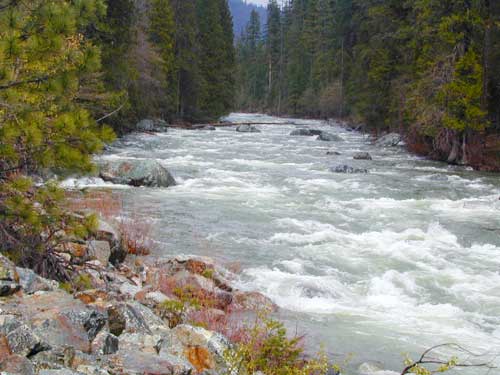
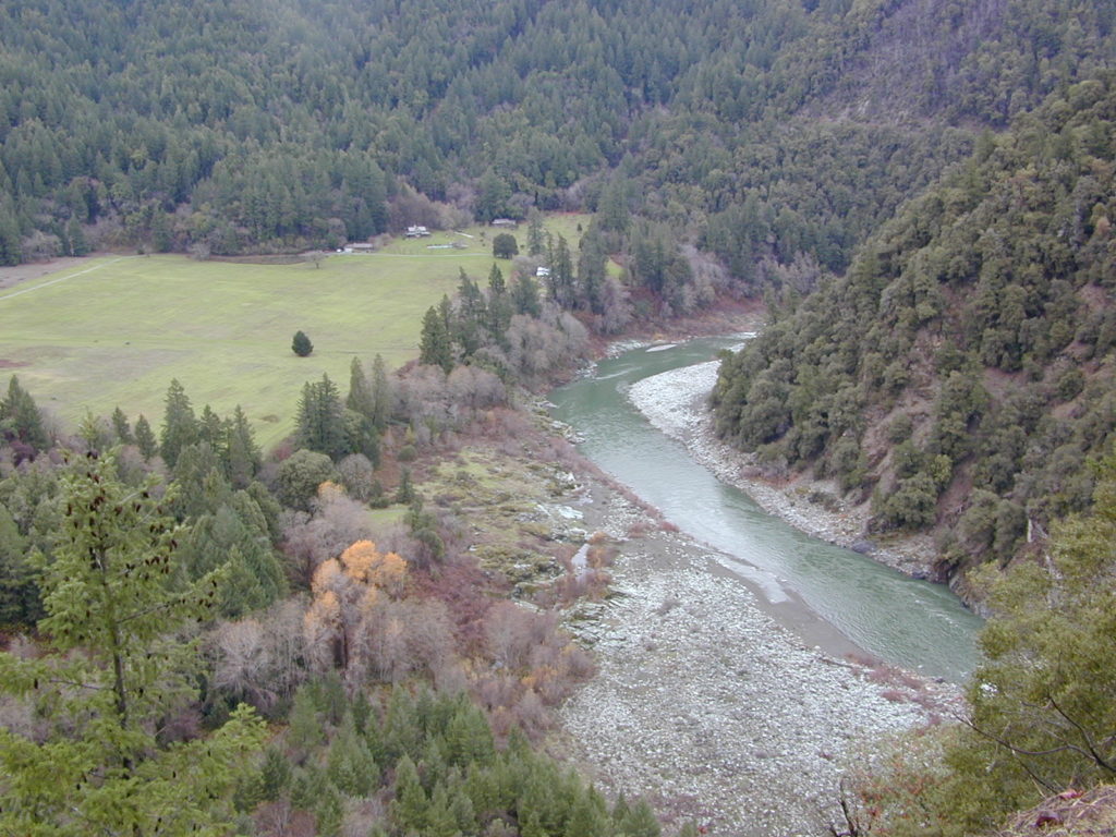
Northern California’s top river destination, the path of the Trinity River is not a typical westward flow. Headwaters begin in the Scott Mountains and the Trinity Alps, making its way into the Trinity Reservoir, then southbound to the Lewiston Reservoir, passing Douglas City and heads westward to parallel Hwy 299, beyond Weaverville. Trinity waters hugs the paved westbound highway – all the way from Junction City to Willow Creek – then turns abruptly north to merge with the Klamath River along Hwy 96.
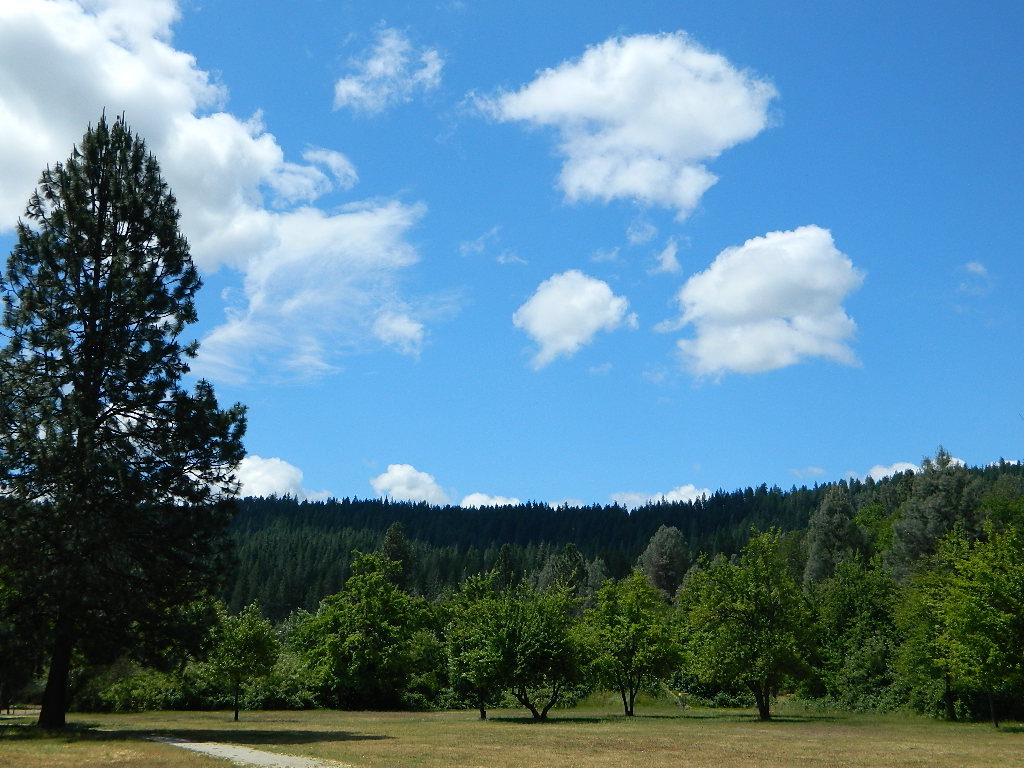
Forests & Parks along Trinity River:


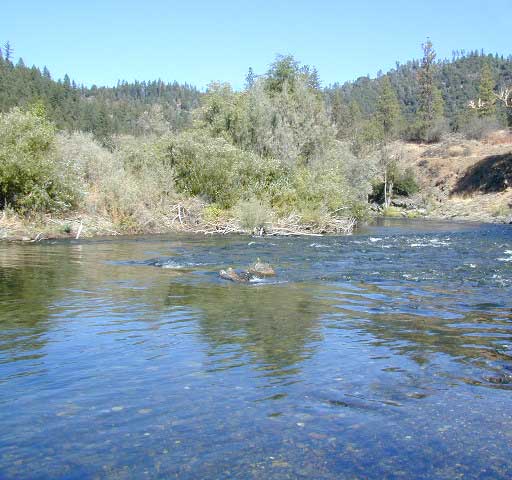
boating
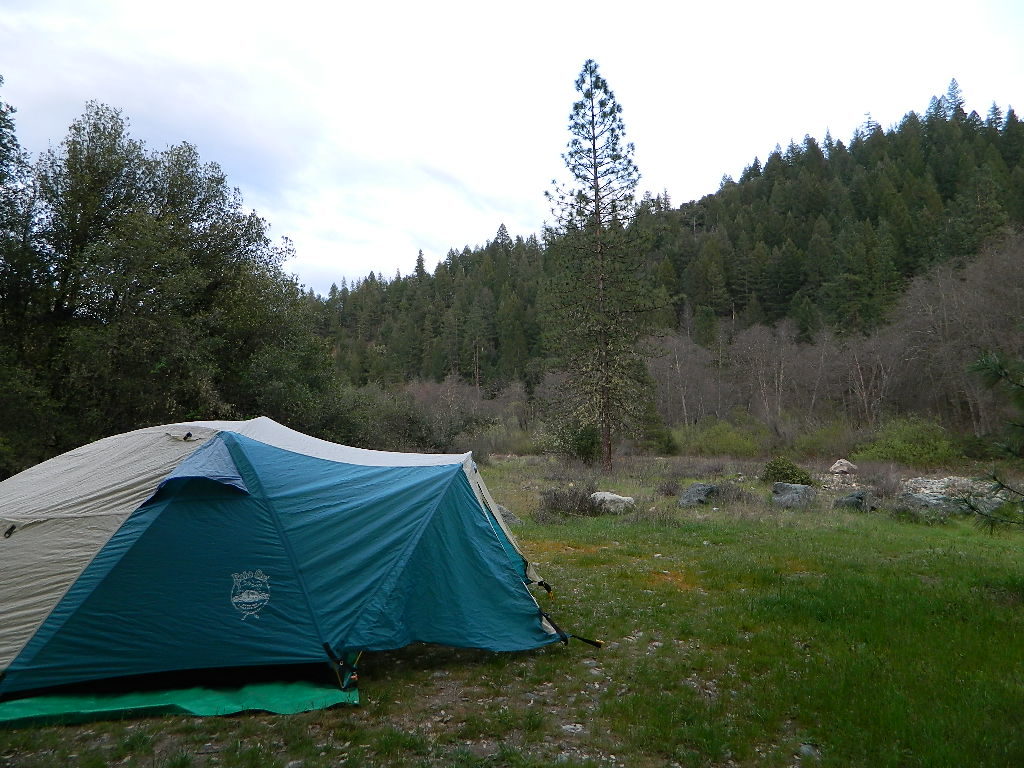
camping
canoeing
fishing
hiking
hunting
kayaking
off-roading
rafting


2021 wildfire: Monument Fire burnt parts of the mountains and forests around Trinity River, in between Junction City and Willow Creek.
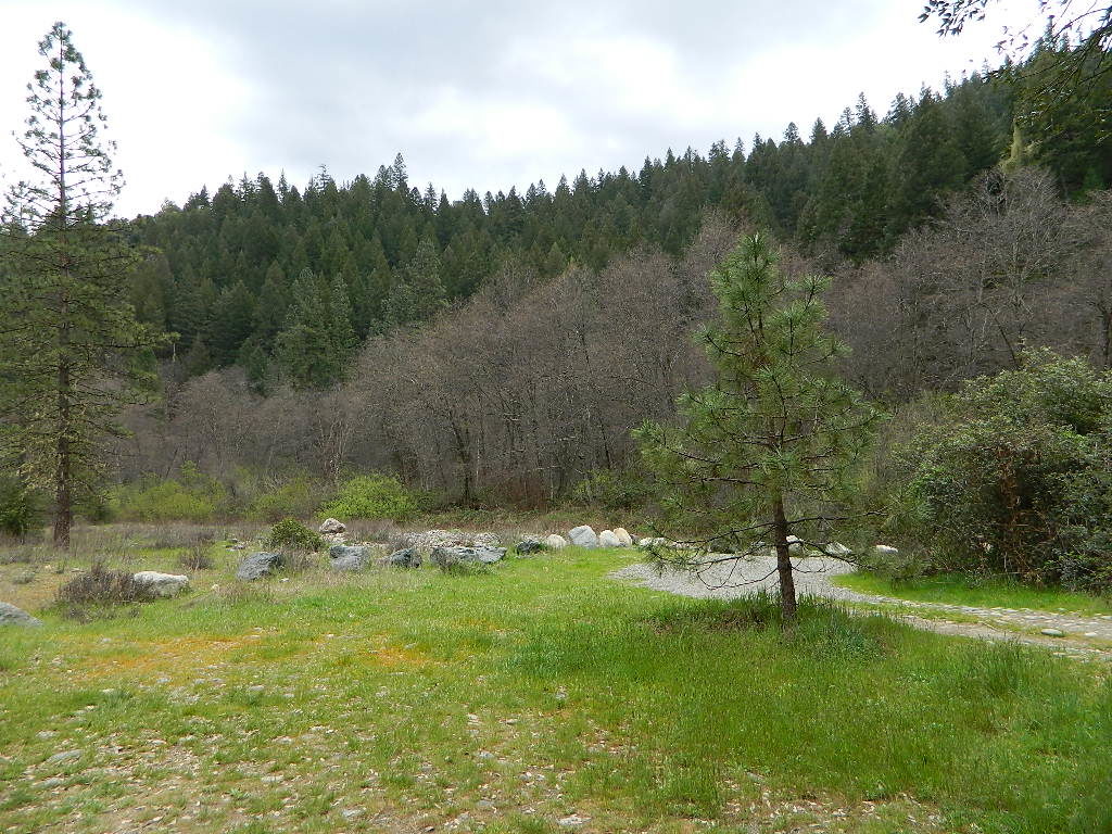
dispersed camping off Hwy 299
behind Douglas City
Campgrounds along Hwy 3 Trinity River:
( both located @ Coffee Creek )
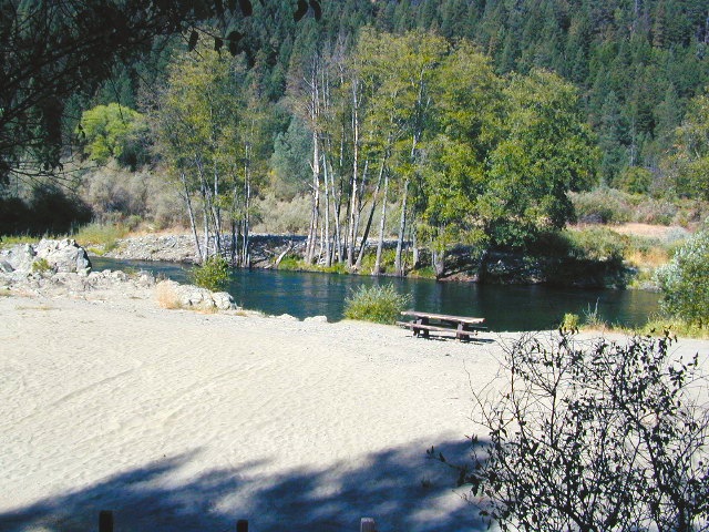
Campgrounds along Hwy 299 Trinity River:
- Douglas City Campground BLM
- Junction City Campground BLM
- Steel Bridge Campground BLM
- Pigeon Point Campground
- Hayden Flat Campground
- Burnt Ranch Campground


The largest town near the Trinity River, is the county seat of Trinity, Weaverville, CA. The historic mining camp and logging town, located at the junction of Hwy 299 and Hwy 3. Oddly, the town itself does not have direct access to the Trinity River, but it is well worth a visit anyway.
Towns near or along the Trinity River:
- Coffee Creek (SR 3)
- Douglas City (299)
- Forest Glen (SR 36)
- Helena (299)
- Hyampom, California
- Junction City (299)
- Lewiston (299)
- Trinity Center (SR 3)
- Weaverville, CA (299 @ 3)
- Willow Creek (299 @ 96)
- Hoopa (96)