Southern California Short Cuts
Must head North out of LA? Skirting the backside of Los Angeles is always a possibility on a FRIDAY night. Taking 15N, 10W, 210W will put you in the opposite direction of most of the bad traffic flow.
Merge back up with I-5 North of San Fernando Valley. If you must get West to the coast, the Simi Valley 118, or the 126 through Fillmore, is the best option.
![]()
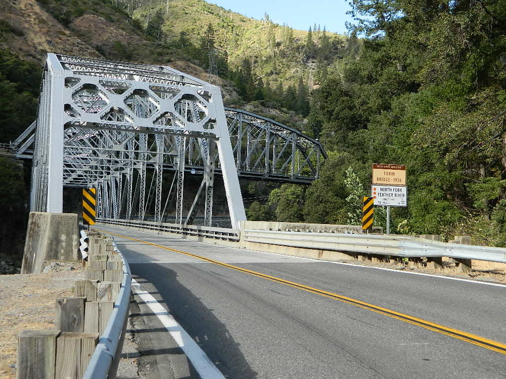
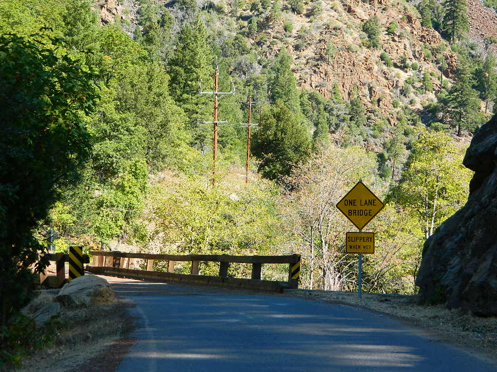
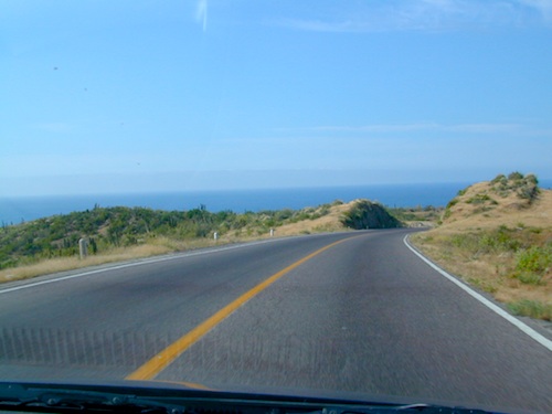
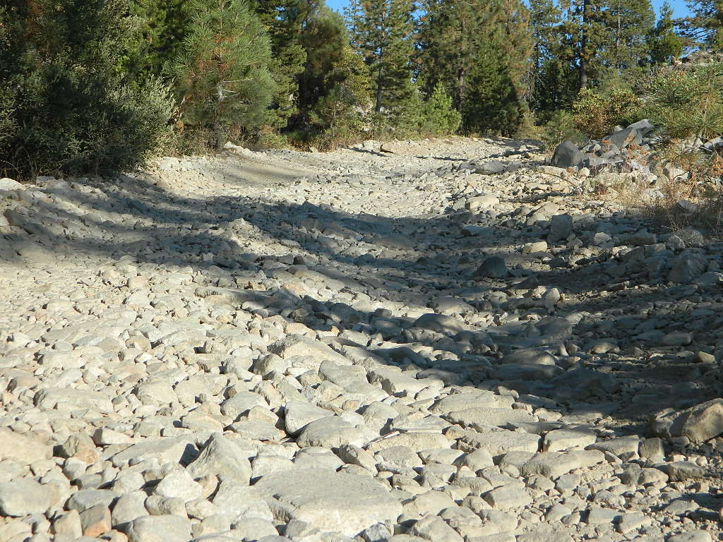
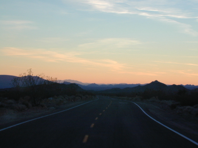
![]() camping in route
camping in route
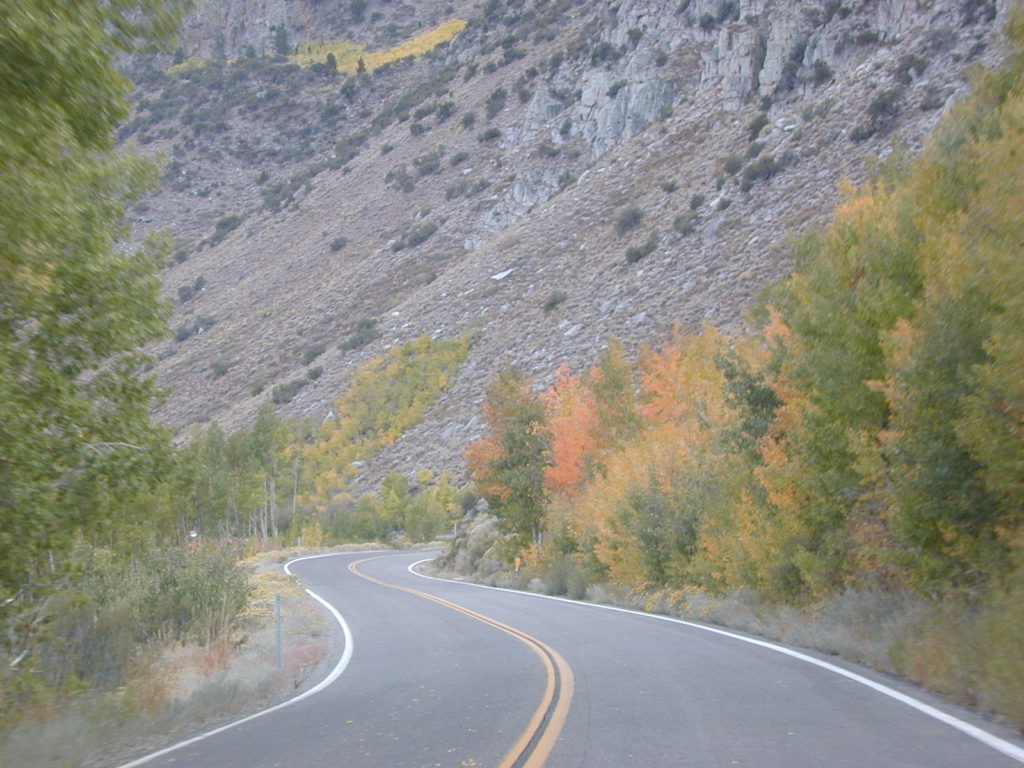
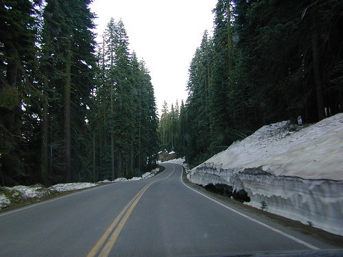
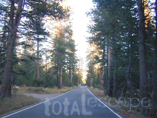
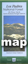
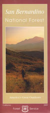
Plenty of jump off spots for overnight camping on the Grapevine, inside Angeles National Forest & Los Padres National Forest.

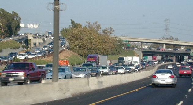
#1 – Avoid Los Angeles area, if possible. This will add 1-4 extra hours on to your road trip depending on the ‘hellish & hectic’ reasons this area normally experiences. If you must venture through, try doing so at night after dark. Gas up and eat a meal before you reach this area, to avoid needing to stop in L.A.

Watch out for frequent Cal-Trans freeway closures starting
in the midnight hours.
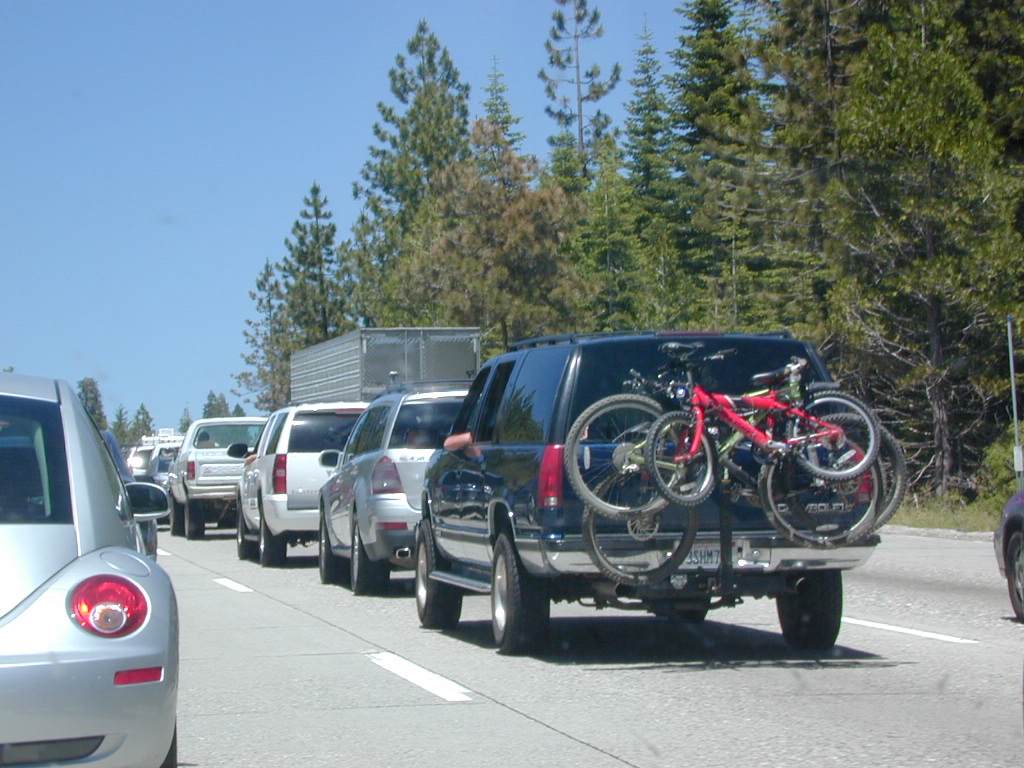
Inland Crawl: The Interstate 91 & Interstate 10 Eastbound are both bad situations during winter months due to Palm Springs weekenders & if snow is decent, the Big Bear ski crowds.
 |
 |
 |
Lets face it, Vegas traffic back to Cali sucks.
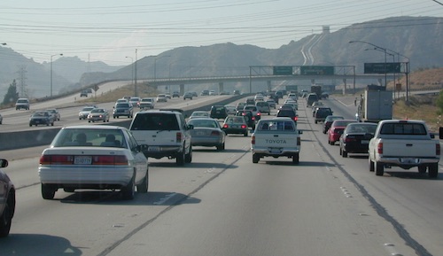
The Interstate 15 is the main corridor that gets backed up on Friday nights Northbound at the I-10 & the I- 215 junction.
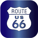
 Southbound on Sundays is awful from Barstow to San Bernardino. An alternate route is historic Route 66 & avoid the bumper to bumper in the high desert Mojave region.
OLD ROUTE 66, anyone?
Driving from Southern California
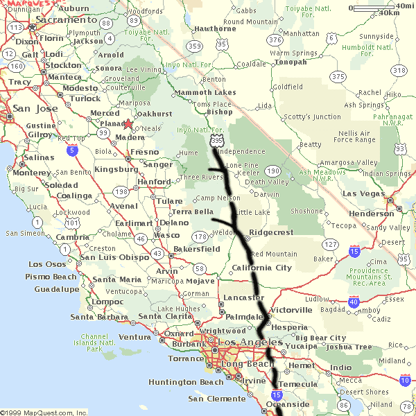
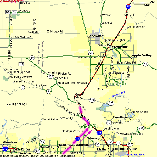
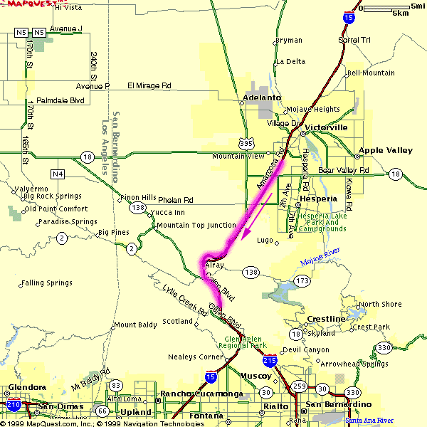
Headed to the Eastern Sierra or Death Valley – Make sure to take Interstate 15 straight up to US Highway 395N. The turn off is just south of Victorville. On the Road – gas up & quick food stop on US 395 available in Adelanto & in a region known as ‘Four Corners’ @ Highway 58 junction.
Be warned: It can get a little congested on Friday nights. An alternate is Interstate 15N to Interstate 215N to avoid most of the traffic from the west.
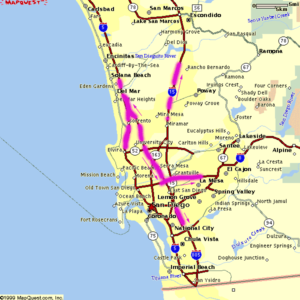
Typical afternoon rush hour problem spots in San Diego.
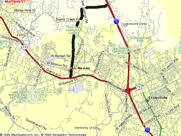
A small detour, if traffic is bad on Hwy. 78 in North County San Diego & you are headed Interstate 15 North. Twin Oaks Valley Road leads right up to Deer Springs Road & the Avocado Highway known as 15.
Population in SoCal has increased in the past 30 years and surely the traffic problems are worse than my memories. When you get sick of it, head to North, to any part of rural California. Where traffic lights are few and space is plenty.
State Atlas Maps
Regional Maps

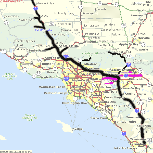
NOTE: I am keeping the old screen shot maps from MapQuest on this page to prove my age and experience on such topics. And I thank you for using my independent California site. DanaMite