Tag Archives: auto

Helpful Routes

Southern California Short Cuts

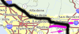
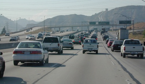
Must head North out of LA? Skirting the backside of Los Angeles is always a possibility on a FRIDAY night. Taking 15N, 10W, 210W will put you in the opposite direction of most of the bad traffic flow.

Merge back up with I-5 North of San Fernando Valley. If you must get West to the coast, the Simi Valley 118, or the 126 through Fillmore, is the best option.

camp in routeRvs camping in route

Plenty of jump off spots for overnight camping on the Grapevine, inside Angeles National Forest & Los Padres National Forest.

food

#1 – Avoid Los Angeles area, if possible. This will add 1-4 extra hours on to your road trip depending on the ‘hellish & hectic’ reasons this area normally experiences. If you must venture through, try doing so at night after dark. Gas up and eat a meal before you reach this area, to avoid needing to stop in L.A.

gasoline

Watch out for frequent Cal-Trans freeway closures starting
in the midnight hours.

Inland Crawl: The Interstate 91 & Interstate 10 Eastbound are both bad situations during winter months due to Palm Springs weekenders & if snow is decent, the Big Bear ski crowds.
Angeles Forest Hikes Los Padres National Forest Maps San Berdardino mountains

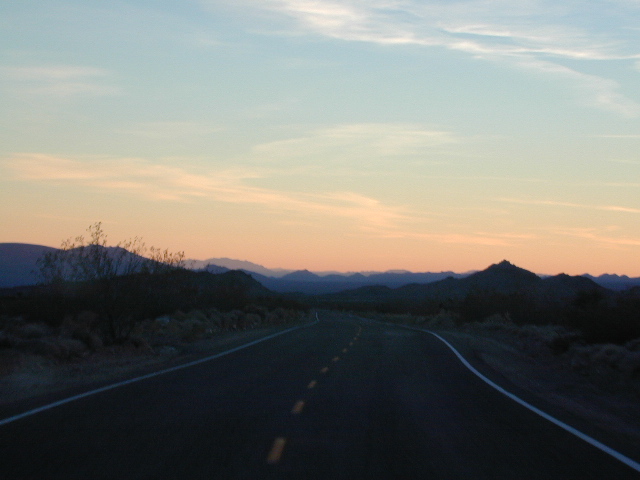
desert roads

california

Lets face it, Vegas traffic back to Cali sucks.

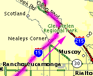
The Interstate 15 is the main corridor that gets backed up on Friday nights Northbound at the I-10 & the I- 215 junction.
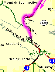


Southbound on Sundays is awful from Barstow to San Bernardino. An alternate route is historic Route 66 & avoid the bumper to bumper in the high desert Mojave region.

OLD ROUTE 66, anyone?


Driving from Southern California

Headed to the Eastern Sierra or Death Valley – Make sure to take Interstate 15 straight up to US Highway 395N. The turn off is just south of Victorville. On the Road – gas up & quick food stop on US 395 available in Adelanto & in a region known as ‘Four Corners’ @ Highway 58 junction.

Be warned: It can get a little congested on Friday nights. An alternate is Interstate 15N to Interstate 215N to avoid most of the traffic from the west.

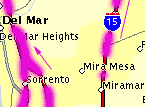
Typical afternoon rush hour problem spots in San Diego.

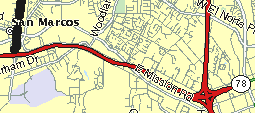
A small detour, if traffic is bad on Hwy. 78 in North County San Diego & you are headed Interstate 15 North. Twin Oaks Valley Road leads right up to Deer Springs Road & the Avocado Highway known as 15.

Population in SoCal has increased in the past 30 years and surely the traffic problems are worse than my memories. When you get sick of it, head to North, to any part of rural California. Where traffic lights are few and space is plenty.

State Atlas Maps

Regional Maps

camptruck

dangerous

NOTE: I am keeping the old screen shot maps from MapQuest on this page to prove my age and experience on such topics. And I thank you for using my independent California site. DanaMite

California Car Rentals

Auto Rentals, 4×4 Rentals
in and around California

Thrifty Rent-A-Car System, Inc.
california

Automotive Rental Agencies
Baja Car Rentals
Bus Service / Tours
Camper Van Rentals
Van Build-out Shops

Hummer Rentals
Jeep Rentals
Limousines
Motorcycle Rental
Off Road Rentals
SUV Rentals
Trucks 4×4 / 4WD
RV Motorhome Rental

4x4    califrepublic    camptruck

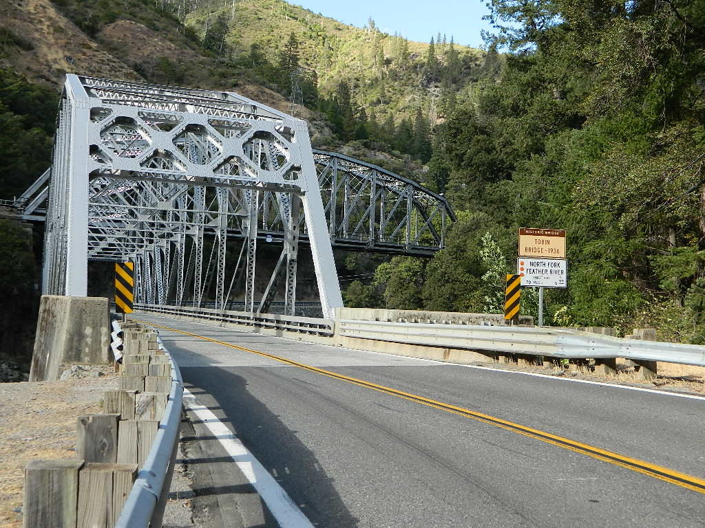
Tobin Bridge California
CaribouWoodbridge
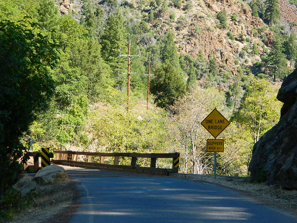
Queen Lily bridge, Caribou Road, North Feather River

Auto Rental Service Agencies


Alamo 844-354-6962
Budget 800-218-7992
Enterprise 855-266-9289
Hertz 800-654-3131

SFthennow

Rent-A-Wreck San Francisco, CA 877-877-0700
Thrifty Rent-A-Car System, Inc.
hwy highway

june lake loop
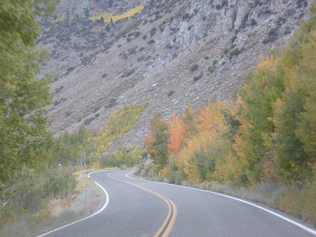
June Lake Loop is a popular spot for Autumn Colors

camp

bajaexplorin
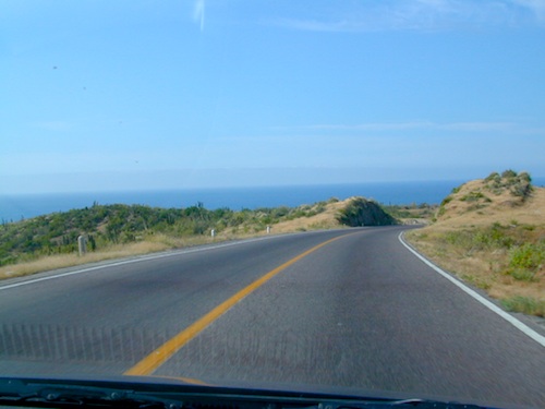
Paved roads are the main highways in Baja, everything else is usually DIRT

Baja California Mexico Car Rentals

Some San Diego car-rental companies will rent vehicles for driving into Baja California & will provide Mexican auto-insurance. Franchises below can have location drop offs & pick-ups in the US or over the border in MX.

ABC RENT-A-CAR
Costa Mesa, CA 949-200-3367

AVIS Rent a Car
San Diego, CA 619-688-5000
Otay Tijuana 619-588-1309
Mexico 800-770 2847
Baja California Norte, Mexico

DOLLAR
800-800-4000 MX & SD
San Diego Airport San Diego, CA
Tijuana, Baja California

ENTERPRISE 855-266-9289
San Diego, CA 619-696-5000
Mexicali, BC 686-514 2406
en Español 1-877-416-0000

NATIONAL CAR MX
800-716-6625

CALIFORNIA BAJA RENT-A-CAR
619-470-7368
Trucks, Vans, Jeeps, SUV, 4×4 vehicles

Baja Insurance
Buy Baja Insurance online

SequoiaSUV
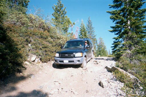
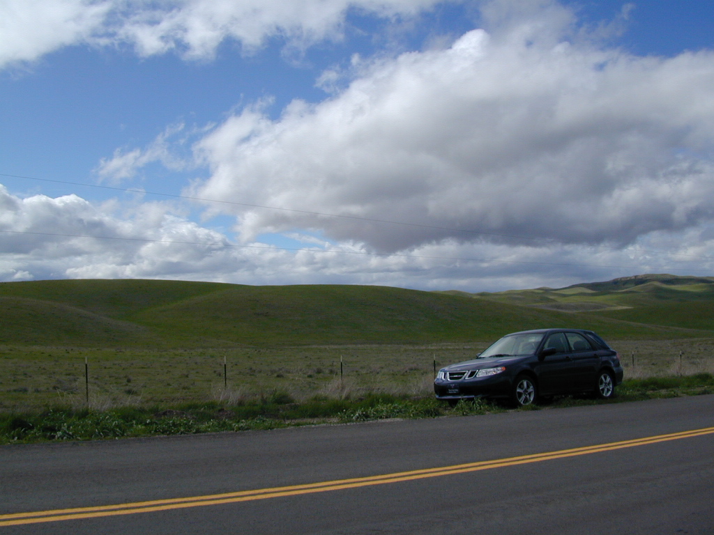
Toyota Sequoia in Lakes Basin Recreation Area
SUVtrips
Access more roads w/ a Sport Utility Vehicle

SUV and 4×4 Rentals

These days most all car rental agencies have Sport Utility Vehicles for rent, but if you need 4 wheel drive for your trip, then make sure 4WD is an option.

4x4

granitegravelrd
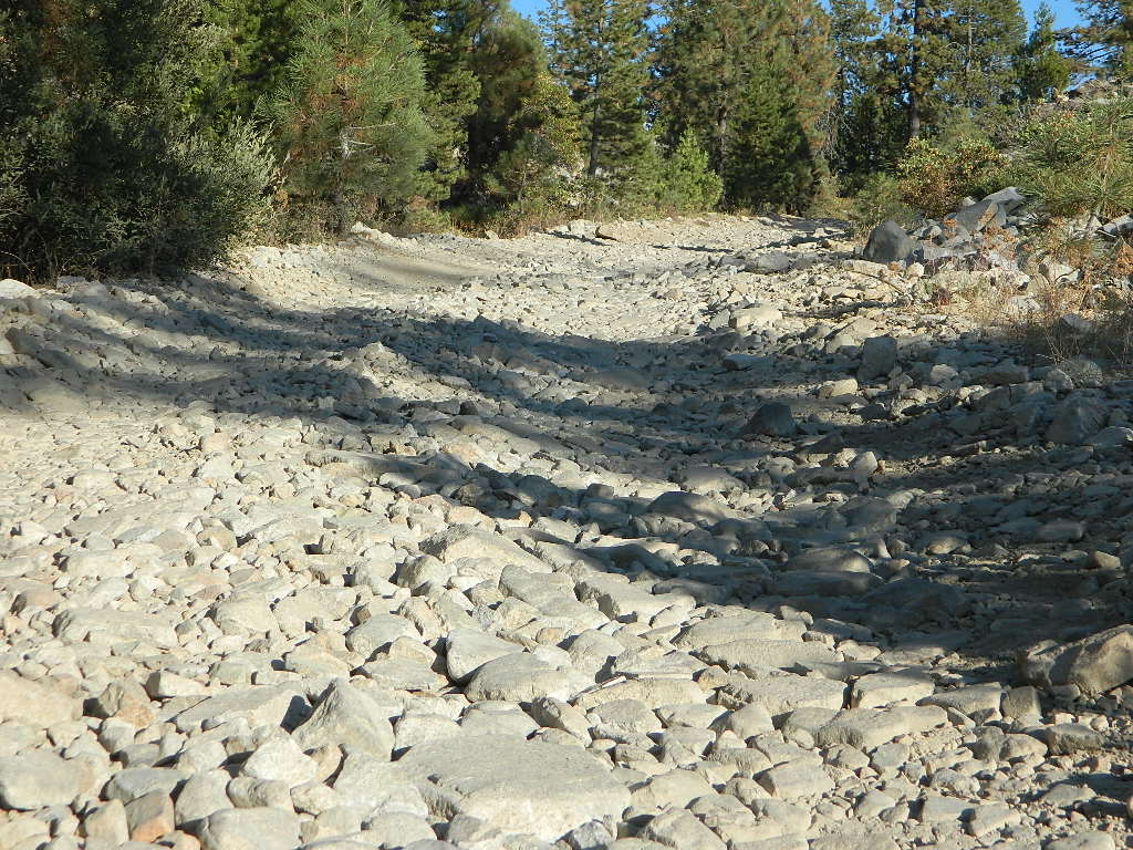
Hard core roads: 4×4 may be needed to reach secluded camp sites in California.

Click below for off-road rentals all around California, from fully outfitted Jeeps (for a week) to quick quad rentals at the dunes (for a few hours).

4 wheel drive rentals = 4×4 Rentals

Overland Jeep Rentals w/ camping roof top tent and gear;
ATV and Quads @ beach sand dune park

snow

snow & ice?

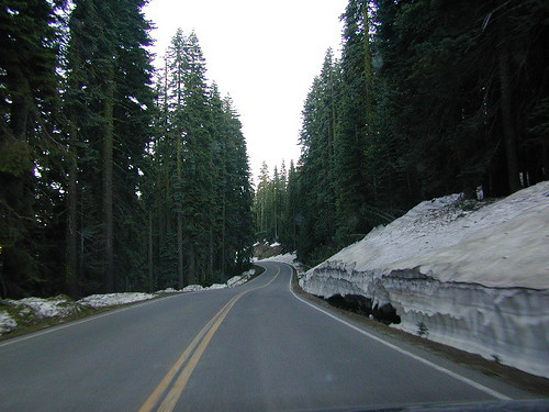
Heading up to the mountains for anything fun? then you better ask rental car company about snow forecast and tire chains – or buy some in route.

OFF ROADING, for sure

If you plan to drive on serious dirt roads for hundreds of miles, a week of camping, rock crawling mountains, take a spin on the desert sand dunes, or want to drive into Mexico, then you will need extra insurance. Ask and expect to pay $$$.

likearental
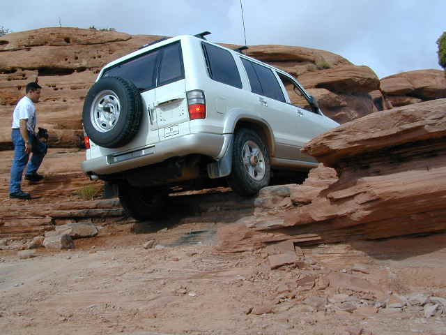
Drive It – like a rental. (Chris Perosi) Moab UT – Crawloween 2000

wildflower

mountains

Driving Speeds of California

Traffic Lanes & Driving Speeds

hwysaab

california freeways

# 1 lane # 2 lane # 3 lane # 4 lane
the passing lane cruising lane truck lane merging lane
speeders: 80 mph avg speed: 70 mph avg speeds: 65 mph avg speed: 55 mph

The chart above is NOT considered legal speeds, but they are kinda realistically what to expect on the FREEWAY. Interstates and busy freeways in California get cranking and CHP is usually out in force, earning revenue for the state, as well as ensuring the safety of the roads.

Senior drivers, tourists & outta state visitors be warned – the closer you get to a big urban area, the higher speeds and the more aggressive the drivers will be. More commerce, means more trucks and delivery drivers. Southern California is notorius for bad traffic jams, and the Bay Area ain’t much better – just more spread out w/ bridges. Large 18 wheeler rigs and SUVs kill with impact, so slow down a little folks.

gasoline

So much for Sammy’s “Can’t Drive 55”

Californians can’t drive anywhere near 55. Now that the laws have increased the statewide speed to 65 or 70 mph, there is no stopping ’em. Unfortunately the average speeds are increasing all over the west, as people zoom from place to place, city to city, in a never ending transient society. This leaves way more dirt roads and rural backcountry highways left to us Escapers.

TIP: Exit the rat race & take your time, for your sanity sake & safety… slow down.

On average 3500 people die on California roadways each year.
Texas has even more driving deaths, but a lot lower population. 80 mph, go figure.

Fatality Facts State by state

califrepublic

freewaybackup

where is that high speed rail?

train

California State Route (SR) =
CA Highway (Hwy)

The freeway speeds above do not apply to narrower state routes and rural county highways. Most of these are one lane blacktop in each direction and are labeled 55 mph. Maybe slower for curves, tunnels and bridges. Be alert when driving and know that cell phone service is not always abundant on the back roads. At any time you can experience: wildlife crossing, rock slides across the road, downed tree (or branches) in the roadway, stalled vehicles w/ stranded motorists, heavy rains, snow blizzard, hail, sleet, ice, or any other hazards that accompany typical backcountry travel.

snow

No Guard Rails

La Porte Snow

California Highways
California: Outside