Advertisement
Journey
| Gear
california.maps
GPS systems |
|
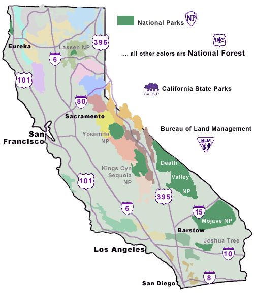
Choose the Right Forest
click above |
|
 If
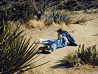
you want to get 'off the beaten path' & away from
the crowds, you will need to be well equipped. One thing you
will need to successfully get way away from the masses &
RV parks is a good map. A detailed map that lists most dirt roads
is advisable for backcountry road travel. Some of these If
you want to get 'off the beaten path' & away from
the crowds, you will need to be well equipped. One thing you
will need to successfully get way away from the masses &
RV parks is a good map. A detailed map that lists most dirt roads
is advisable for backcountry road travel. Some of these 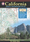 same
maps also detail the areas hiking trails & backpacking camp
spots. Large map books are convenient but sometimes aren't as
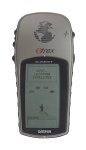
thorough as the standard NFS issued maps. Most maps these days,
have longitude & latitude grids for use with your GPS
system . same
maps also detail the areas hiking trails & backpacking camp
spots. Large map books are convenient but sometimes aren't as
thorough as the standard NFS issued maps. Most maps these days,
have longitude & latitude grids for use with your GPS
system .
BenchMark Map is a must
have!

|
|
the basics
- How to Read a Map & Signage
|
The Interstate System
|
|
- One & Two Digit Signs
|
|
- Even # are east-west routers
- Odd # are north-south routers
- Business Loop
- Business Spur
|
- First digit even# = route through or around
city
- First digit odd# = spur into a city
|
common signs and abbreviations:
Interstate = "I"
Highway = Hwy.
State Routes = SR or CA
Note: Mile Markers (a.k.a.
post miles) for the most part go like this...
Even-numbered routes usually increase
from west to east.
Odd-numbered routes, from south to north.
However, there are exceptions. For individual routes &
their direction, see CAL TRANS (Dept.
of Transportation) useful Current Highway Conditions
 Dirt
Roads are usually represented by light
gray lines, thin double lines or even dashed double lines. Make
sure you follow your desired route through to the end to make
sure it doesn't extend to a dead end or result in a locked gate.
Contact the local ranger or BLM office to find out about gate
closures. Or even possible road closures. Familiarize yourself
with Backroads
/ Forest Service Roads (usually dirt roads) if
you are planning on heading into the mountains, deserts or back
country areas. You may even want to check road conditions before you head out on your adventure. During
summer months you are most likely to experience open roads without
adverse conditions.
Dirt
Roads are usually represented by light
gray lines, thin double lines or even dashed double lines. Make
sure you follow your desired route through to the end to make
sure it doesn't extend to a dead end or result in a locked gate.
Contact the local ranger or BLM office to find out about gate
closures. Or even possible road closures. Familiarize yourself
with Backroads
/ Forest Service Roads (usually dirt roads) if
you are planning on heading into the mountains, deserts or back
country areas. You may even want to check road conditions before you head out on your adventure. During
summer months you are most likely to experience open roads without
adverse conditions.
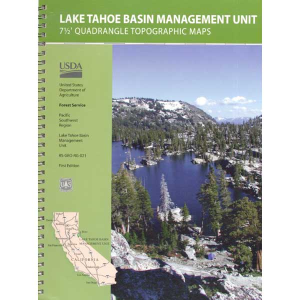
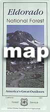
National Forest Service Maps are
extremely helpful when venturing off pavement to dirt roads.
Most really good primitive camping areas are located on these
dirt side roads. Get off the beaten path & find that perfect
meadow, waterfall or creek side spot.
map
books & state atlases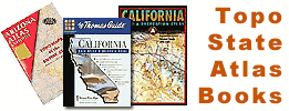
Large Map Books of back country regions are becoming ever popular. Book maps,
such as Thomas Brothers California, DeLorme or Benchmark cover the entire state! Your best bet for super detailed coverage is still the area BLM map or Forest Service NFS USDA maps.
Tom Harrison Maps are some of the best maps available & they are tear-resistant plus waterproof, so they'll last.
|
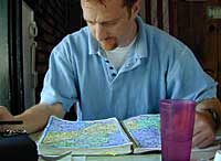
Trip Routing
Planning your road trip & what route you will take before
you leave is advised. Re-routing & assessing the situation
along the way at a dinner stop or roadside bathroom break is
also helpful.
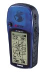
New technology producing great stuff: Global Positioning Systems are almost a necessity for logging that perfect trailhead, exact hiking route or that perfect backwoods campsite.
|

Google Maps
Map Quest
Get Driving Directions & Make
your Own Map
Maps online are only for reference and convenience! Make sure you have another map or two for cross referencing. Do not depend on digital cell phone service in the boonies. Real maps, paper topo maps have accurate details, easy to read (anytime), recommended for backcountry routes & forests back roads.
 topo
& topo
&
mapping
software
|