camp clueless transportation sample trips atlases & maps local travel
Advertisement


Destinations | Mountains | Journey | SampleTrips | Road-to-Nowhere

the.grapevine

ridge.route

California Historic Routes
Los Padres National Forest Maps

grapevine I-5

TEJON PASS - elevation 4144' a mountainous portion of Interstate 5, North / South main corridor between Southern California & the main Central Valley, also known as the San Joaquin Valley.
Angeles Forest, Los Angeles
towns scenic areas lakes & rivers
Frazier Park
Gorman
Lebec
Lake Hughes
Los Padres NF
Angeles NF
Mount Pinos Recreation Area
Antelope Valley Poppy Reserve
Hungry Valley SVRA

Pyramid Lake
Piru Creek
Lake Piru
Castiac Lake
     
activities lodging wilderness areas
biking
camping
dirt biking
hiking
mountain biking
off roading
picnicking
wildflowers
Sespe Hot Springs
Santa Clarita
Gorman
Lebec
Frazier Park
Bakersfield
Sespe Wilderness
Sespe Condor Sanctuary
Chumash Wilderness


View Larger Map

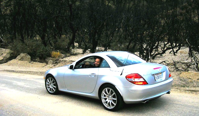
The historic portion of the cement highway runs parallel on the east side of the interstate. Templeton Highway exit a few miles north of Santa Clarita, will lead to the south entrance. The north entrance is found by following county route N2 @ Highway 138. No signs designating route, so have some decent maps. Rock slides and road closures are common on this old road. Historic hotel foundations can be found along the Old Ridge Route, which can be excellent places for photo shoots or a decent picnic spot. More specific info can be found on RidgeRoute.com

Gorman Gold

Golden Valley

Total Escape California Camping

Advertisement


California Weekends


Total Escape has been an AmazonAssociate for 20 years!
Earnings from purchases keeps this site alive.


Copyright © 1996-2024 Total Escape, totalescape.com / All Rights Reserved.

classic | lodge | recreation | destinations | journey | ads | sitemap | outside | maps | gear | mobile