


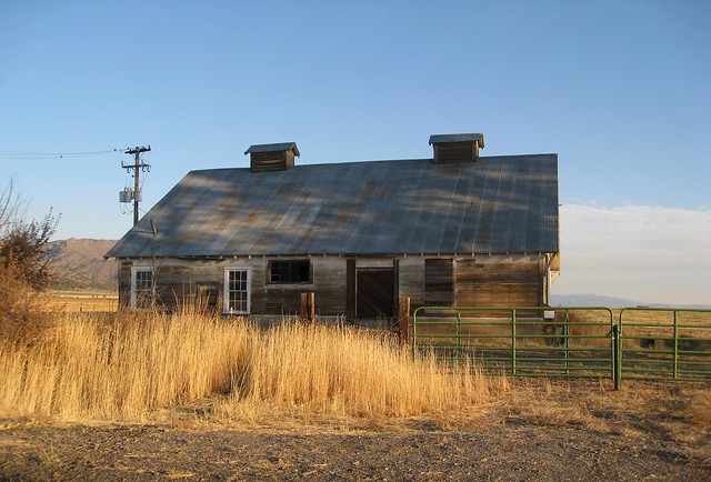

cedarville, California
![]() Mountain
Mountain
![]()
terrain:
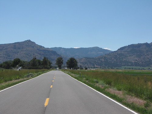
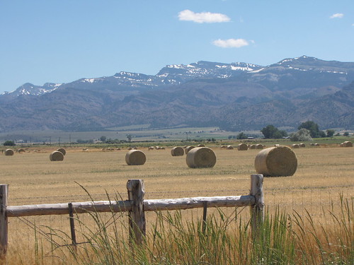
High country ranch areas & high desert volcanic ridges; located at base of mountains near the Oregon & Nevada state lines
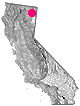
View Larger Map
recreation:
parks, forests, rivers & lakes:
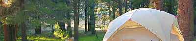
cedarville campgrounds
Mill Creek Falls Campground
Blue Lake Campground
Dispersed Camp Warner Mts
Stough Campground
Emerson Campground
description:
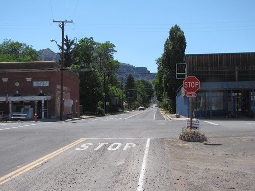
Small rural community in north east part of California, near mountains & lakes. High desert, volcanic cliffs, rural ranches w/ hot springs. Town is close to bordering the Nevada state line.
Cedarville Ranger Station:
USFS Modoc National Forest
Warner Mountain District
710 Townsend St
Cedarville, CA
530-279-6116
- nearby towns:
- Alturas
- Susanville
- Tulelake
- Alturas
local links:
Surprise Valley Chamber of Commerce
519-B Main St. Cedarville, CA 96104
530-279-2001
http://www.surprisevalleychamber.com
Pit River Watershed
Emigrant Trails Scenic Byway
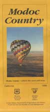
Modoc Map - Hike, Bike, Fish, Camp
Friends of Black Rock / High Rock
Cedarville Airport
Surprise Valley Hot Springs
Modoc Fairgrounds
Warner Mountain Weavers
Cedar Pass Ski Park
South Warner Wilderness Map


Advertisement


Total Escape has been an AmazonAssociate for 20 years!
Earnings from purchases keeps this site alive.
Copyright © 1996-2024 Total Escape, totalescape.com / All Rights Reserved.
classic | lodge | recreation | destinations | journey | ads | sitemap | outside | maps | gear | mobile