Tag Archives: history

American River California

american 1

American River, Central Sierra Nevada

Donner Pass – Gold Country California
El Dorado National Forest
Folsom Lake, Sacramento, CA

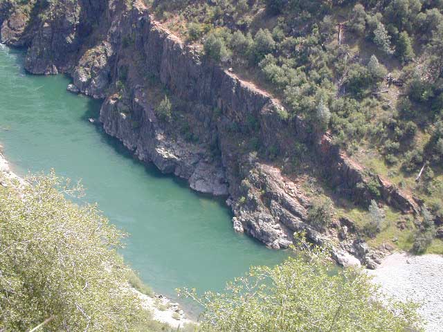
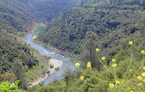
This is a major river in the Sierra Nevada landscape, as well as in the Gold Rush history of California. Many mining camps, railways, old abandon mines, dirt roads, hiking trails, mountain biking routes, waterfalls and even ancient artifacts can be found on the back roads. The native tribes once heavily populated these river canyons since the location is ideal, half way between the big mountains and the sunny warm valley.

snowNorth fork of American River drains most of the Donner Pass region, all along Interstate 80. Indian Creek is a feeder stream coming from Sugar Pine Reservoir. No large reservoirs exist along this American North Fork, although there is a wide section of the river, above Auburn, called the North Fork Lake.

Middle fork of American River comes down from the Granite Cheif Wilderness, next to Lake Tahoe; Foresthill (3225′ elev) is a small mountain community w/ a ranger station; French Meadows Reservoir is way back in there, toward the highest peaks @ 9000′ elevation.

South fork of American River parallels the State Highway 50, which connects Placerville to Lake Tahoe via the Kyburz Pass. Union Valley Reservoir and Ice House Reservoir make up this part of the drainage for abundant snow melt.

The north and middle flows of this river join in Auburn, near the freway @ I-80. The south fork joins the rest downhill in the Central Valley, at Folsom Lake, NW of Sacramento, CA

rapids: turbulent, fast moving water

canoe

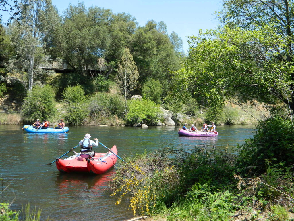
River Rafting on the American River

This is a rapid moving river, with serious force. Not to be taken lightly. Wear life vest and stay alive; Don’t swim in dangerous conditions and spare your life!

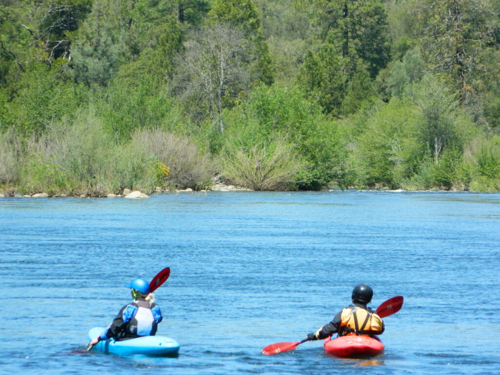
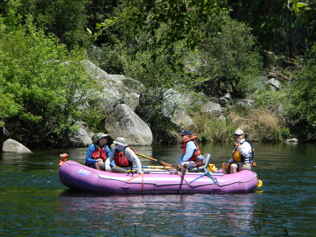
Go whitewater river rafting with experienced leaders, who offer professional guide rafting tours. Always wear a life vest in the water. Toying around with an inflatable cheap raft on a big river, can leads to all kinds of trouble.
rafting

American River south fork James W. Marshall discovered gold in January of 1848 on the South Fork of the American River

  • backpackfish
  • camp
  • fish
  • hike
  • kayak
  • mountain bike
  • museums
  • off-road
  • raft
  • swim

Numerous feeder creeks and rivers drain into American River:

  • Indian Creek
  • Owl Creek
  • Pilot Creek
  • Rubicon River
  • Secret Ravine
  • Silver Creek (flows to south fork)
  • Silver Fork of the American River (flows to north fork)

camp

Camping & Campgrounds on the American River

south fork (CA Hwy 49 & US Hwy 50)

middle fork (CA Hwy 49)

north fork (CA Hwy 49 & I-80)

hiker

americanriverabove

Auburn Lodging near the American River with numerous unique overnight options closeby. Colfax, the rail-town up the interstate, also has small motels and inns, most are freeway close. Foresthill is a residential area near the Middle Fork of the American River. Placerville, on the South Fork has more hotel choices. See more on Historic Gold Country


rafters

Towns along American River:

kayaking


California Mines

Gold Rush Country, Silver Mine, Copper, Tungsten Mines

California Mine Tours, Mining Towns, Historic Mining Camps, Regional Mining Districts

Columbia State Park
Columbia State Park

DESERT MINES & RAILWAYS

Moab, UTAH
Uraniam Mines & Recreation

desert mines cemetery
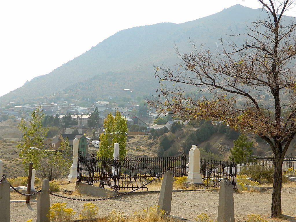
Cemetery @ Virginia City, NV

califrepublic

Historic State Parks related to Mining

Columbia State Historic Park
209-588-9128
Jackson, CA

(Sutter Gold Mine)

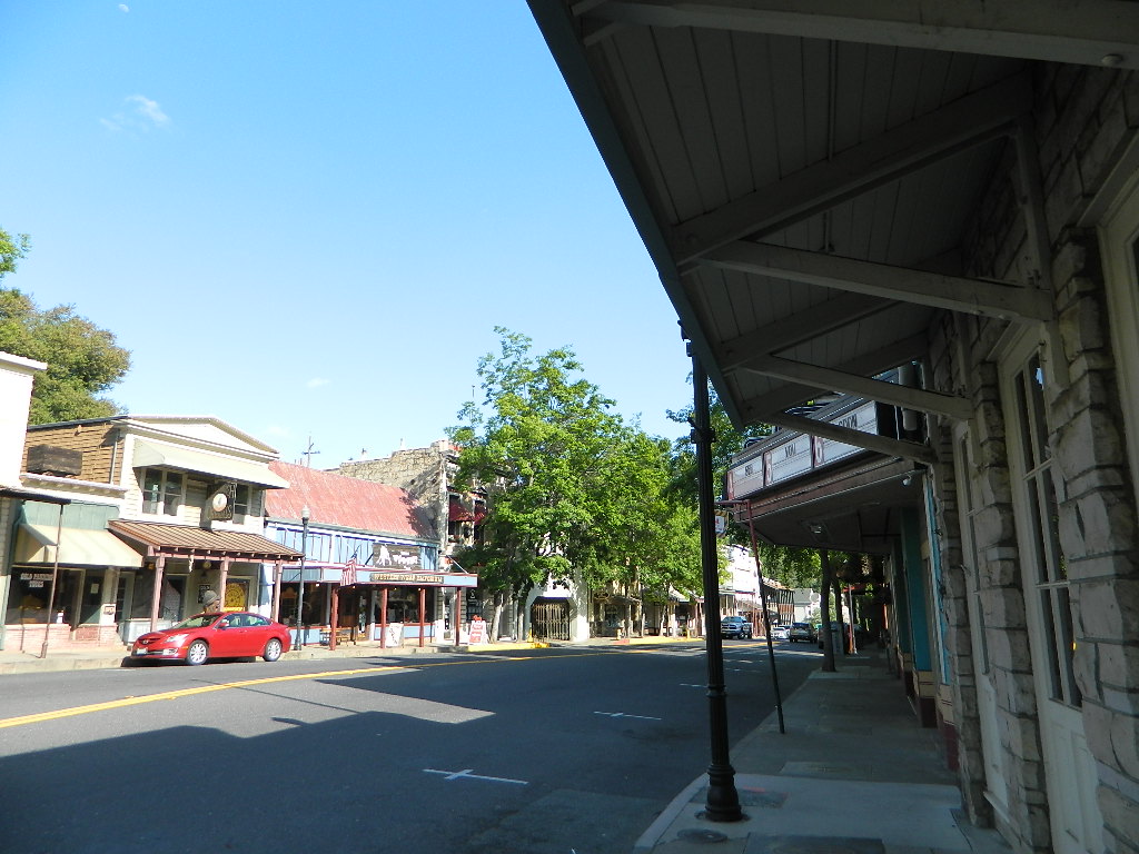
In 1945 California made this large mining camp a State Park in order to preserve the typical Gold Rush town, an example of one of the most colorful eras in American history. Today visitors can take a step back in time to experience life in Gold Rush era of the 1850’s and 60’s in California.

Gold Country California
Gold Rush Towns HIGHWAY 49

Empire Mine State Historic Park
530-273-8522
Grass Valley, CA

Empire Mine State Historic Park is a state-protected mine and park in the Sierra Nevada mountains in Grass Valley, California, U.S. The Empire Mine is on the National Register of Historic Places, a federal Historic District, and a California Historical Landmark

Malakoff Diggins State Historic Park
530-265-2740
North Bloomfield, CA

Out of all the mining techniques, hydraulic mining is the most destructive to the land. Canons spray the hillsides with water, forcably washing the soil away to expose rock and gold deposits underneath. The abundant runoff produced clogged stream beds, dead vegetation and debris flows into the major rivers. Orchard towns in the valley were inundated with rocks and floods which destroyed homes, crops and businesses. Levees were built around the farming communities, but the protection was no match for the amount of mine tailings washing down river. Eventually legislation was passed to ban the hydro-blasting mining practice and these were the first environmental laws on the books in California.

Plumas Eureka State Park
530-836-2380
Johnsville, CA
load pix of property

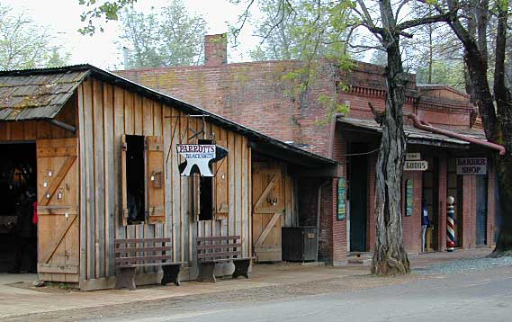
Originally constructed as the miner’s bunkhouse, the museum now serves as a visitor center. Inside, displays depict the natural and cultural history of the park. Outside and across the street from the museum is the historic mining area, where the Mohawk Stamp Mill, Bushman five-stamp mill, stable, mine office, historic miner’s residence and the blacksmith shop depict life in gold rush-era California.

Marshall Gold Discovery State Historic Park
530-622-3470
Coloma, CA

The oak lined foothills of the (American South Fork) river valley and Coloma proper is dedicated to preservation, parks, tourism, camping and lodging. The highway runs over a mile of State Park fronted land. Picnic tables, parks, historic buildings, mine history, museums, campgrounds, and river rafting.

Knight Foundry
209-560-6160
Sutter Creek, CA

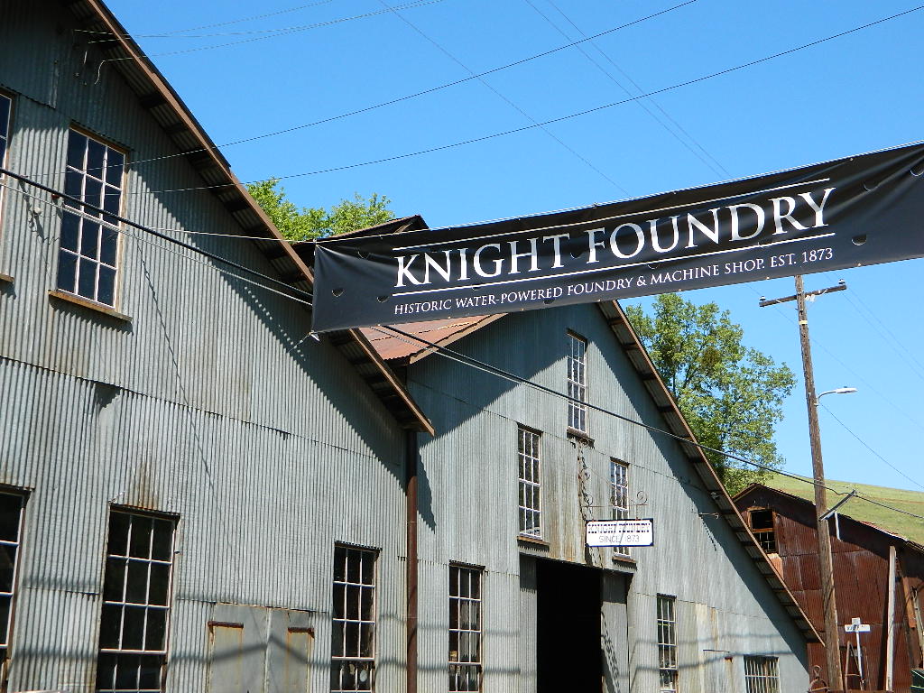
Knight Foundry is America’s last water-powered foundry and machine shop and a premier relic of Mother Lode gold mining.

Knights Foundry
Mining History @ Sutter Creek, CA


bycounty

SIERRA NEVADA MINES

Alpha Omega Mines (Omega Diggins)
Washington, CA

Donner Mine Camp
Bear River, west of Donner Pass I-80

Kongsberg, CA
Highway 4, east of Ebbetts Pass

Pine Creek Tungsten Mine
northwest of Bishop, CA US 395

pinetree

GOLD RUSH COUNTRY TOWNS
& MINING CAMPS
Sierra Nevada Foothills

Gold Country California
Gold Rush Towns HIGHWAY 49

(towns listed from north to south below)

Forbestown Yuba Feather Museum
530-675-1025
19096 New York Flat Road
Forbestown, CA 95941
(open only in summer)
Yuba Feather Historical Associates

Jackson, CA

Kennedy Gold Mine Tours
209-223-9542

Angels Camp @ HWY 49Angels Camp (Angels City, CA)

NORTHERN CALIFORNIA MINING

Mining activity in the North State of California is way less than the Central Gold Country regions. While mining tourism and western themed downtowns cannot be found up here, historic hotels, cattle ranching, wide open views and unlimited dirt roads can. New beer breweries are popping up and also, the Pacific Crest Trail (PCT) is routed nearby!

Northern California mines

pinetree

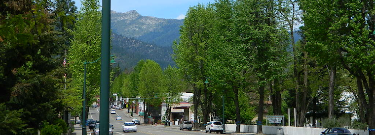
Weaverville Main Street
Weaverville Main Street HWY 299

Weaverville, CA
Mining Museums on Main Street

Jake Jackson Memorial Museum
530-623-5211

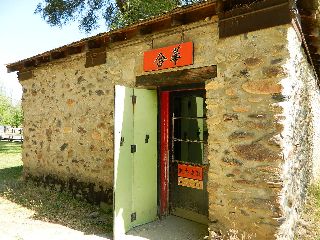
Joss House State Historic Park
530-623-5284

Weaverville Firefighter Museum
530-623-6156

Weaverville History

Museum Trinity County

Weaverville Museums

hiker

SOUTHERN CALIFORNIA MINING

Blue Light Mine
Silverado Canyon, Orange County

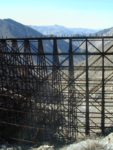
Carrizo Gorge Goat Trestle
Tunnels & Railway
Anza Borrego Desert

Dawn Mine @ Millard Falls
Altadena, CA

Eagle Mine
west of Mount Baldy
Angeles National Forest

Julian Mine Tours
Eagle & High Peak Mine
Julian, CA
951-313-0166

Carrizo Gorge Railway
Hiking Destination: Carrizo Gorge Trestle
Virginia City, NV
Virginia City, Nevada
Coloma State Park
Coloma State Park

Oatman Arizona

Oatman Ghost Town, AZ

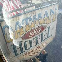
established 1902

hotelsign_i If you are ever in Laughlin, Nevada and find yourself in a blank stare, mesmorized at a slot machine in front of your face, wondering ‘why the hell am I here?’ – RUN for the doors & take in the warm desert sun & scenery. There is plenty to do around here for sightseeing & Route 66. Oatman, Arizona is just one favorite option.
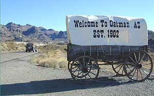
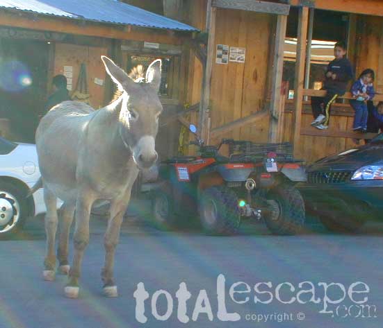
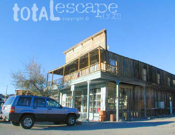
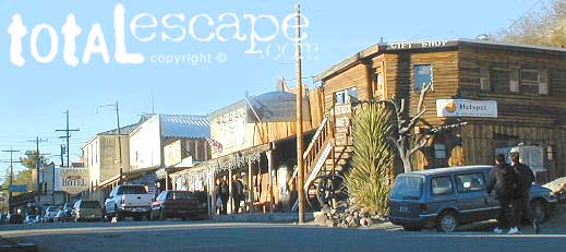
A lively, rustic town in the Arizona desert, with a silly commercial twist. Tourist trap to some, but entertaining to others. A meeting spot for travelers, an ideal lunch stop, and conveniently located on paved roads near major highways and close to Interstate 40.

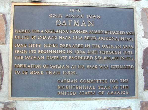
OATMAN town began as a small mining camp and grew into a large town. Many residents that live here today are shop keepers or retirees. Located near the Colorado River, with Laughlin and local indian casinos nearby.

wagon_i

burro
Not-so-wild Burros walk the streets, but are not as tame as you may think. Local vendors sell carrots for feed. Always watch your fingers when feeding animals!

The amount of visitors or tourists can vary depending on time of day, there can be a motorcycle club rolling through, or a meeting of hot rods. Both classic cars and bikes are popular in this desert region. Tour buses and guides also bring their guest here as a good stopping point along their desert whirlwind travels. Holiday weekends & festival weekends can get crowded as well. Centrally located, Oatman sees lots of traffic, so don’t expect a desolate ghost town atmosphere. RV

The town streets have very limited parking & bringing that huge RV up the hill via the narrow road is not recommended. It may be possible to take a shuttle bus from a nearby hotel.

storefront

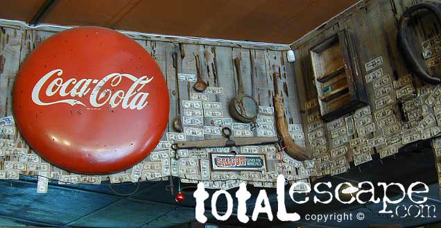
Souvenir shops, diner, saloon, western town walkways. OATMAN ghost town is super easy to get to. Only 12 miles off the main drag (AZ 95) Mojave Hwy. South of Bullhead City, AZ. Situated up on the Black Mesa above Mojave Valley, Oatman is a modern, developed, touristy ghost town (as ghost town standards go).

sign_iBUT, NO GASOLINE IN OATMAN

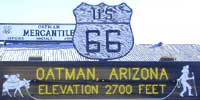
elevation: 2710′
population: 128

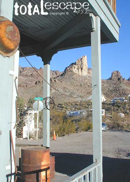
 Desert mountains, canyons.

SouthEast of Laughlin, NV
Mojave Valley – in Arizona
@ Nevada / California borders
Off Interstate 40, Route 66

diner

When traveling in the deserts, consider more stretch breaks (mini hikes). Short hikes and viewpoints offer time for relaxing, snacking and exercise.

town oatman
Parking is tight on main street, so you might need to walk in from the outskirts of town.


Remember that finding a great camp site before dark is of utmost importance, if you are not hoteling it; but bottoming out your rig, or getting stuck is another kinda adventure. No fun. Have topographic maps of the region you plan to explore, on foot, or off-road.

trainride

area activities:

  • Back Roads
  • Camping
  • Casinos
  • Colorado River
  • Hiking
  • Kayaking
  • Museums
  • Jet Ski Rentals
  • Sightseeing
  • Shopping

lodging laughlin vacations

plaque

camptruck

Primitive camping on dirt backroads is plentiful and FREE. SUV back road exploring just north of town. Silver Canyon Wash, a graded, dirt road continues back down to Bulhead City. A decent little loop drive (for those needing to get dusty to have fun). Since we’ve been writing about this road, a huge residential neighborhood has sprouted back here, so watch for private property signs. Don’t camp within eye-sight of a home, or you could have the local Sheriff out to move you (at 11pm)

Camper Trailers & RV campers should be very cautious about venturing too far down any dirt road. Wash outs can change the road annually, so it is best to get out & walk it first. The California Mojave is filled with bitchin back road camp sites, and yes, some are very accessible – even with a huge motorhome.

peak

ghost towns
find more mining camps


Yuba River California

unionflatyuba
North fork Yuba River @ Union Flat Campground

Yuba River

Northern Sierra Nevada Mountains
Tahoe National Forest
North Gold Country @ Historic Highway 49
Marysville, California

Historic ‘gold rush’ mining camps and towns line this popular recreation river in the Northern Sierra. Numerous State Parks, museums, and campgrounds can be found along this route, in which Tahoe National Forest land encompasses the whole region.

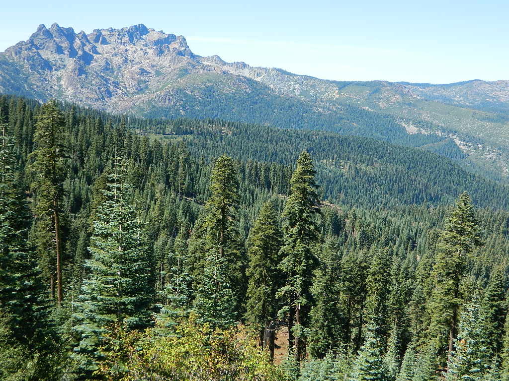
North fork of the Yuba River lines Historic Highway 49, on the way to Downieville and Sierra City, CA. Plenty of camping in these parts.  Lakes Basin Recreation Area  is located up behind the impressive granite spires called Sierra Buttes and this area is the headwaters for this portion of the river.

New Bullards Bar Reservoir is also located in these parts, and offers camping and boating w/ very limited shoreline access.

Middle fork of the Yuba River cuts through the residential mountain community on Moonshine Road, and ends up in Lake Bullards Bar; The rest of the middle fork flows through remote forest lands and is only crossed by one dirt road #191 in Tahoe NF.

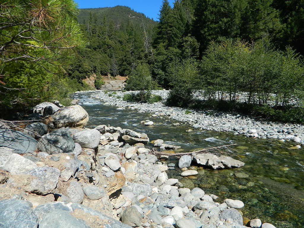
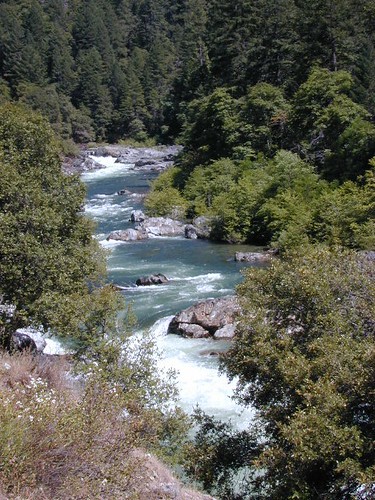
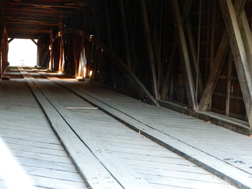
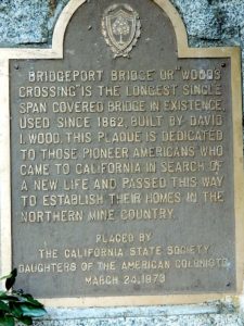
South fork of the Yuba River flows from the far heights of Donner Pass and I-80; near Lake Spaulding. Passing Washington Ridge; northeast of Nevada City; and North Bloomfield @ Malakoff Diggins continuing down to Bridgeport @ South YUBA – where the longest wooden, covered bridge is located. Numerous old, one-lane bridges cross this southern fork of the river, and the region can take years to explore. Lots of residential and private properties.

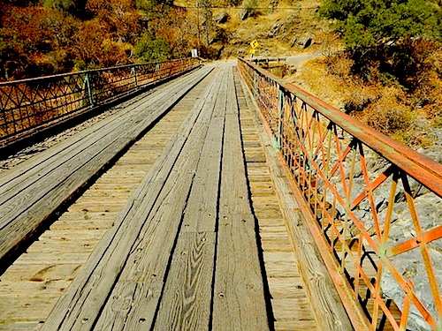
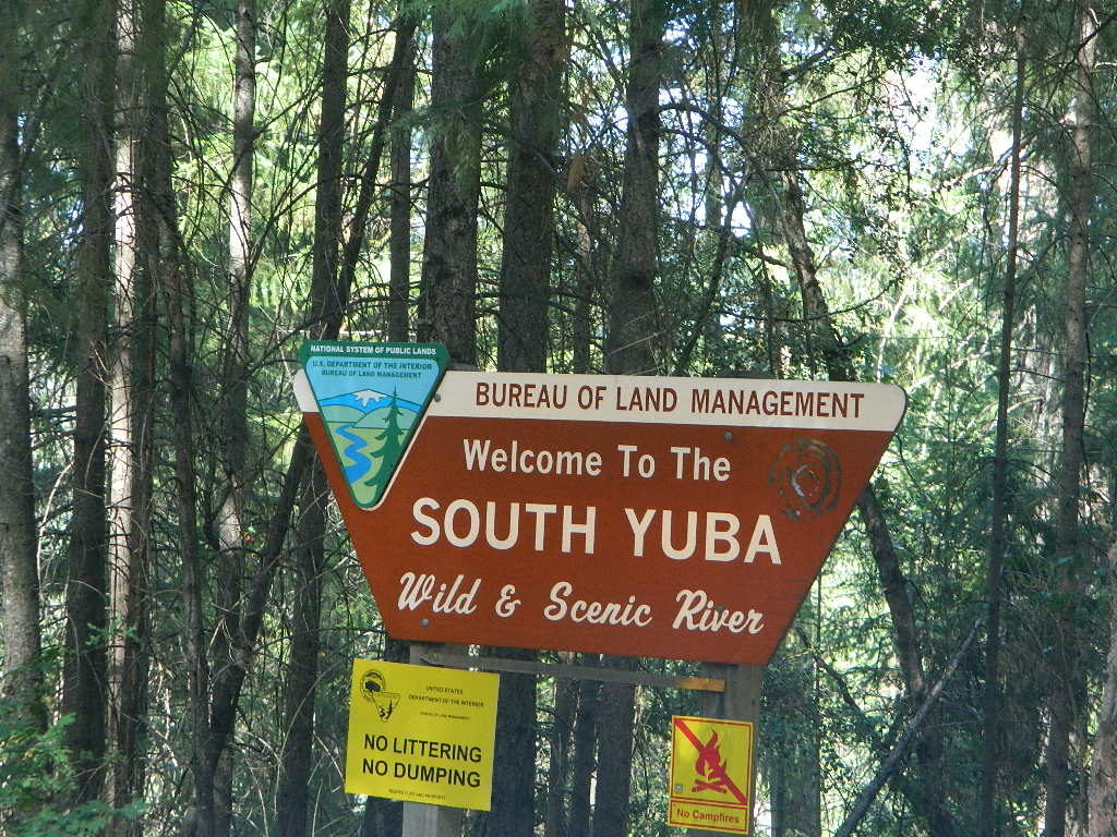
Bureau of Land Management (BLM) has a campground way back here, the CHEAPEST CAMP around; Look for signs, along the dusty North Bloomfield Rd (graded dirt road) about a mile UP hill from rickety Edwards Crossing (pictured below).

edx1898_sm
Edwards Crossing Bridge, built 1898

soyubaBLMsign

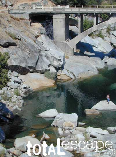
South Yuba State Park, located along the Golden Chain Hwy 49, is a short drive up Hwy 4 from Nevada City and a very popular spot for sightseeing, day hiking, backpacking, mountain biking and riverside picnics. The parking lot at the large curved bridge fills up fast, daily. Pedestrians and hikers are always seen here, so slow down driving along this portion of the highway.

The big river forks all join west of Grass Valley, heading down the mountains, paralleling Hwy 20 to Marysville, CA

northyuba
North Yuba near Downieville, CA

Yuba River Recreation

Backpackinghiker
Camping
Fishing
Hiking
Kayaking
Reservoirs

Mining History
Mountain Biking

Off-Roading
Picnics

Rafting
Tubing
Sightseeing

Forests, Lakes & Parks along this River:

Tahoe National Forest
Lakes Basin Recreation Area
Malakoff Diggins State Historic Park
BLM South Yuba Recreation
Bridgeport Covered Bridge
Kentucky Mine Museum
Lakes Basin Recreation Area
New Bullards Bar Reservoir
Englebright Lake
South Yuba River State Parkyubariver

Yuba River Camping

Campgrounds along Yuba River:camp

Fiddle Creek Campground
Indian Valley Campground
Rocky Rest Campground
Ramshorn Campground
Union Flat Campground
Loganville Campground
Wild Plum Campground
Malakoff Diggins State Historic Park
Chute Hill (Shooter Hill Campground)
South Yuba BLM Campground

Lakes Basin Campgrounds: Gold Lake, Sardine, Salmon, Snag, Goose, Packer, Long, Big Bear, Jamison, Smith

MainStreet
Main Street in Sierra City, CA

The historic river town of Sierra City is defined by the North Yuba River that cuts through the granite, forested canyon. Granite towers above and snow is around more than half the year.

The river is free-running up here; Sierra City is only about 10 miles below the headwaters of the Yuba, at Lakes Basin Gold Lake California. In spring, runoff is pure Class 5 whitewater. Wild Plum Campground is walking distance to town.

camptruckFree primitive camping on dirt roads, can be found way up near the Bassetts intersection. Opposite from Gold Lake Hwy – turn RIGHT (south) on to logging roads: Forest Rd #54 (long ridge route, all dirt) and club into the forest. Drive a several miles up to any large dirt pulls out. Passenger car accessible road; No low riders. Carry a good forest map. Many primitive camp spots have wide openings with views of the Sierra Buttes and crystal clear night skies. Wind can get bad on this mountain ridge, so pick your camp spot with that in mind.
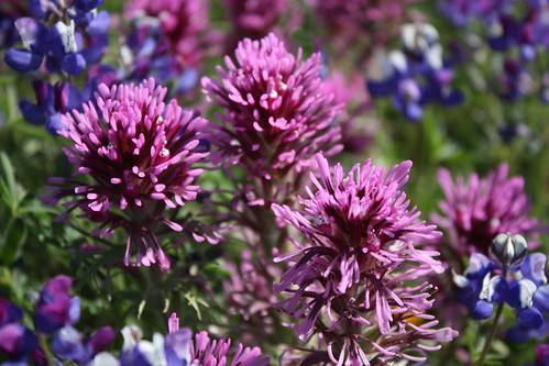
Epic view camp – or expensive river camp? (you choose). Campfire permit are required for camping outside of developed campgrounds. Bring your own water and shovel!

sierra buttes
Looking North to Sierra Buttes

Towns nearby & along Yuba River:

Allegheny, CA
Bridgeport, CA
Brown’s Valley
Downieville, CA
Goodyears Bar
Gold Lake California

Marysville, CA
Nevada City, CA
North Bloomfield
North San Juan
Sierra City, CA
Yuba City, CA

downierivers
Downieville, CA
southyubariver
south yuba river map USDA

Maps near this River:

Tahoe National Forest Map
South Yuba River Map
Lakes Basin Recreation Map
NatGeo Sierra Buttes Map
Tahoe Forest 4×4 Guide

bridgeportint
Bridgeport Covered Bridge, South Yuba River SP
bridgeportplaq
CLICK IMAGE TO ENLARGE
southyubariver
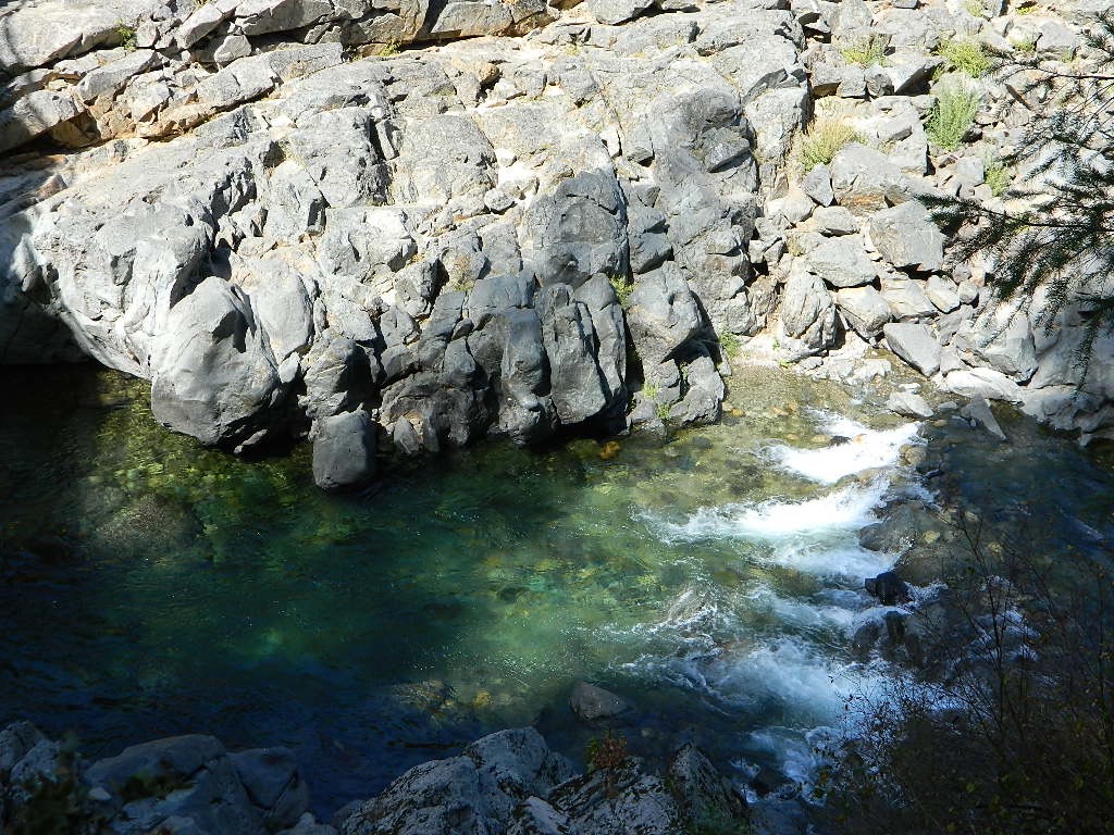
South Yuba River, California

Oregon City California

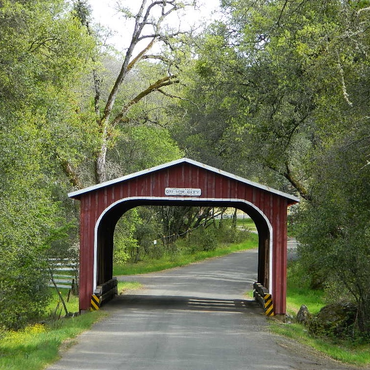
oregoncitybrdg

As with a lot of small town names in California, Oregon City is not a city at all. It is however, worthy of historic interest.

Oregon City is a rural locale on the back roads of Butte County, California – about 5 miles uphill from the Oroville Dam. A tiny, historic camp, located in the North Sierra foothills between Oroville and Cherokee.

One of the first mining camps in the county, it was established in the autumn of 1848 by a party of Oregonians, who came to California over the Applegate and Lassen trails.

  • Bloomingdale Mine
  • Rock River Mine
  • Buffalo Mine

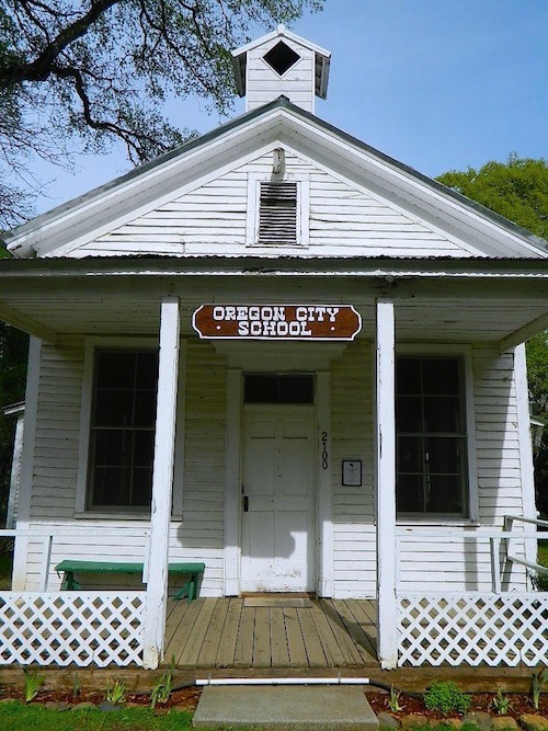
oregoncityschoolhouse

Two historic sites, open to the public:

  • A little covered bridge (painted red)
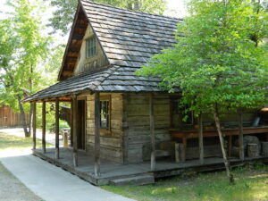
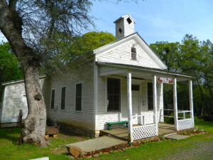
  • A wooden one-room schoolhouse (now museum)

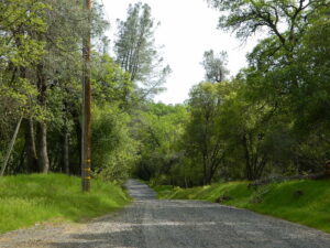
gravelroads

Gravel road access w/ paved, narrow and curvy Cherokee Road being pretty much the only way in. Or hiking up Potter’s Ravine, from Lake Oroville.

oaktree

Minimal residence, maximum oaks.

Oregon City was formerly known as Bloomingdale and Hengy.
North of Oroville, CA

woodenschoolhouse

Lake Oroville SRA

horseback

Happy Day Pony Ride

wildflower

North Table Mountain Ecological Reserve

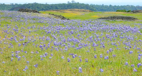
Wildflowers bloom in Spring

lupinetable

Wildflowers, Table Mountain 2014

hiker

Waterfalls of Table Mountain:

  • Hollow Falls
  • Ravine Falls
  • Phantom Falls
  • Little Phantom Falls

Phantom Falls, Table Mountain 2014

nearby towns –