

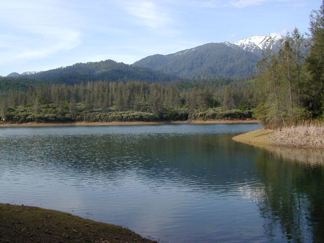
California Black Bears
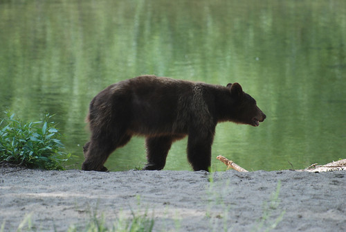
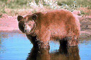
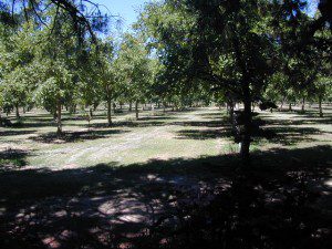
 Although the grizzly bear image graces the state flag, grizzlies were killed off during the gold rush days. Black bears are found in California mountains and foothills, down to lowest elevations in NorCal. California black bears come in more than one color – light brown, cinnamon, dark brown, and of course, black. For the most part, bears usually stay away from people.
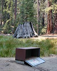
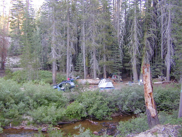
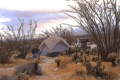
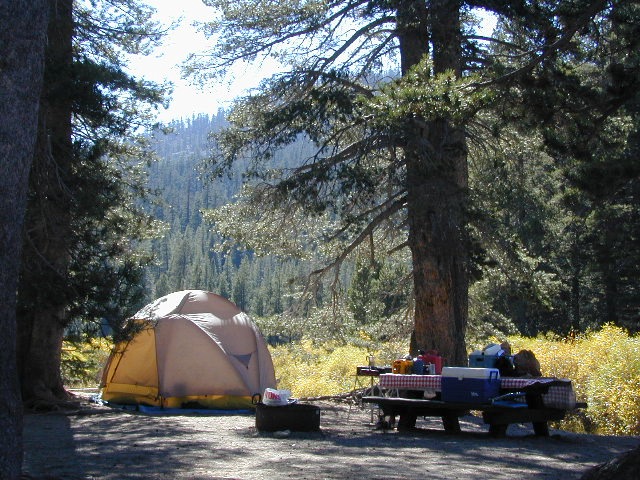
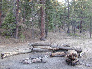
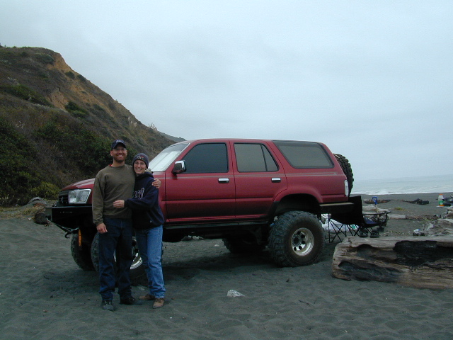
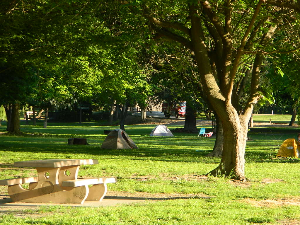
Some areas are more prone to bear problems due in large part to the overpopulation of tourists and abundance of food 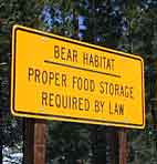 provided by them. Certain California National Parks are particularly notorious for their brazen bear populations. Concentrated bear problems are sometimes posted so be very aware and read signs. If you see steel bear boxes, leave no food or drink in your vehicle. Use the boxes to keep bears from breaking into your car!
Follow some simple rules:
- Keep a very clean campsite
- Clean up all dirty dishes & beverage containers (especially before bedtime)
- Keep clothing & sleeping bags free from food odors or heavy scents
- Never leave any type of food garbage ‘bagged up’, sitting outside of a cabin rental, motorhome, trailer, or mountain home
- Store garbage properly inside a locked, sturdy container inside garage or a shed
- Stay away from bear cubs, there is sure to be a protective (aggressive) mother in close proximity
- Try not to hike alone. Make noise & sing on trails to scare away any unwanted animals.
- Bear storage canisters are available at sporting good stores & at stores in most National Parks.
Proper Food Storage Outdoors:
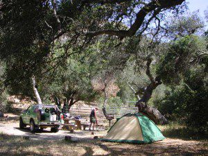
Store food in closed up automobile, not visible. Store food correctly: in trunk of your car, or hidden from sight; in campground food lockers when available.
Lock all food, beverages and coolers in the provided metal bear boxes or bear lockers where available.
Toothpaste, deodorant & anything that has a scent should be thought of as food and stored accordingly.
Bears are so strong they can rip your car door open (in places like Yosemite, where bears are problem and you can get cited for not storing food items properly)
Bears are so strong they can break open a garage door to get to the smelly trash inside, so make sure you utilize the curbside pickup service available in some mountain communities or take a trip to the dump once per week.
DO NOT LEAVE FOOD OUT, UNATTENDED, outdoors…
during a picnic lunch, a quick snack, maybe a barbeque, or dinner around the campfire.
Birds, dogs, squirrels and wild animals can move in quickly.

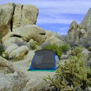
Backpackers should hang food in nylon bag & drape over weak branch in high in tree: hang your food using the counterbalance method. Ranger who issues your wilderness permit can explain the hanging procedure;
2 stuff sacks (with drawstrings) for your food items, and 60 feet of medium weight cord. 2 carabiners make hanging much easier.
Bear Canisters
for your food when exploring the wilderness
![]()
![]()
![]()
![]()
![]()
![]()
Bear Repellent / Bear Mace
Bear Pepper Spray


Additional Storage Tip
As for storing food inside cars:
When primitive car camping on a dirt road, which does not have campgrounds, nor bear lockers, it is possible to store food in the vehicle. BEST location is on the front floorboards with towel over it. With the car alarm set at bedtime, any ruckus should trigger a decent alarm. Any large animal trying to break in will get blasted with alarm siren & most likely will run away. The noise will wake you up as well, to deal with the intruder, if need be.
If a bear does get into your camp area:
- At night, bring bear repellent can into tent, storing it close to the door. Bring a weapon for added protection.
- Make as much noise as possible: yell, bang pots/pans, whistle, air horn and get your bear mace or pepper spray ready in hand
- Raise your hands up to appear larger; lift clothing, increase appearance of size and yell aggressively toward bear.
- Get your entire camp group together, join hands and spread out; Everyone at the camp should be outside the tents in order to be as effective as possible
- Throw rocks & small objects; pots, pans, chairs
- If possible, try to get to your car for protection
- Sound the alarm on a vehicle &/or honk the horn
If you encounter a bear on a hiking trail:
- Make as much noise as possible while walking solo. Hum, sing, talk to the birds. Sing or talk to yourself – out loud. Bear bells can be worn on hiking boots. Do not hike w/ headphones on listening to music/radio.
- Carry bear spray (mace or pepper) in a belt holster, or easy to reach pack.
- If a bear approaches: stand still, slowly retreat, say a few calming words in a friendly voice and calmly retreat, keep eyes on the bear
encountering a bear – see more on this topic


![]()


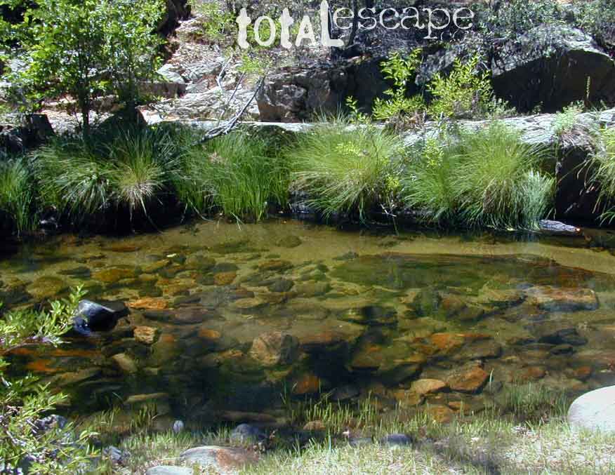
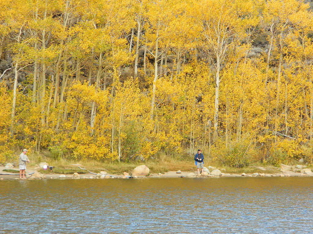
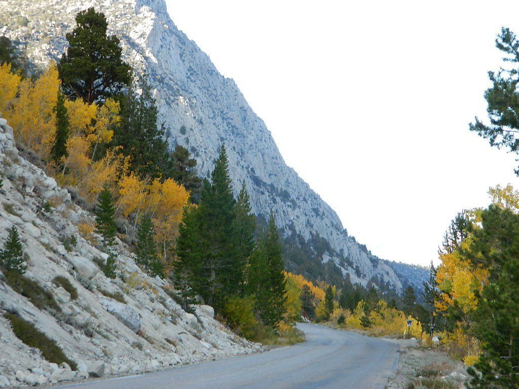
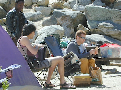
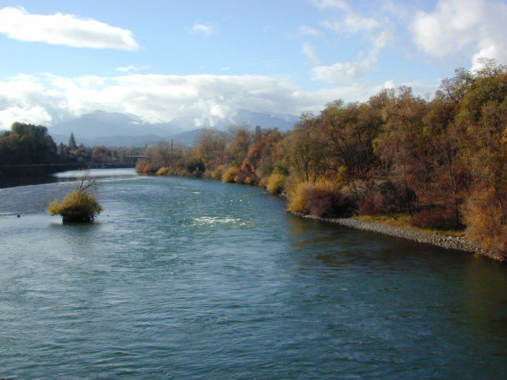
 California is an outdoor recreation paradise, with near perfect
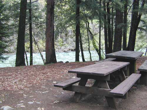


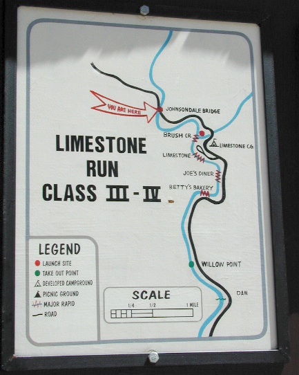
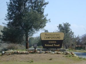
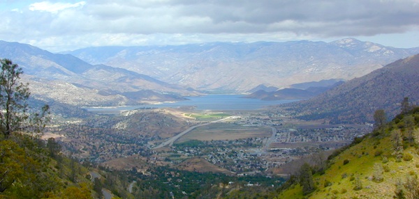
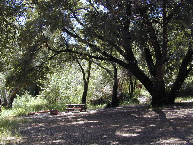
 Sequoia National Forest Campgrounds


