Category Archives: Campspots

Anza Borrego Desert Wildflowers

Borrego Blooms

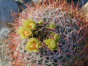
Barrel Cactus Anza

By far one of the best viewing areas for native California desert flora in the whole state. Autumn rain amounts determine the next year’s Spring bloom. If it rained real good all over SoCal before New Years Eve, chances are better for a favorable showing of color.

Low elevations, washes, badlands, dry lake beds bloom first in February, followed by March for mid altitude canyons and mountains. Highest desert peaks may not bloom until May.

Some of Total Escape favorite spots include:

S-2 Great Stagecoach Route of 1849

Anza Borrego Desert State Park
Anza Ranger 760-767-5311

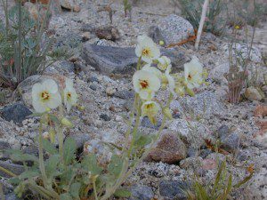
Coyote Wash Blooms

April is usually the best month for the wildflowers; it is also the prime time for Spring Break camping. Open car camping for free – all over this huge California State Park. The tourists typically head over to the town of Borrego Springs, to Borrego Palm Canyon and the visitors center; but the REAL wildflowers are along remote stretches of highway, and on the DIRT BACK ROADS. Many roads are passenger car accessible, for at least the first mile, so don’t think you must have a 4×4 vehicle for just simple exploring.

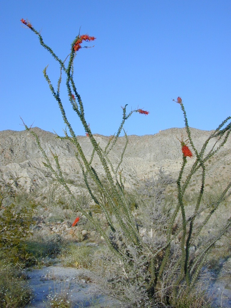
Coyote Ocotillo Garden

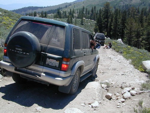
SUV Trail

Baker Creek
Baker Creek, Inyo NF

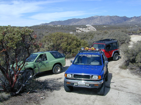
Since sport utility vehicles were invented for California yuppies, it makes perfect sense that this California market also has the awesome terrain to use these rugged rigs. After the first shopping cart door ding or windshield crack, most folks are open to taking their utilitarian vehicles on dirt roads, but some will only dream about it.

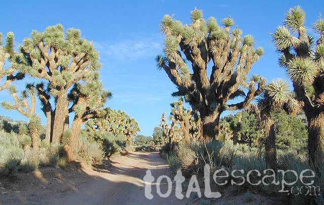
big bear joshua trees

Here at Total Escape, we are here to change all that. The fear of outdoors, the unknown, the capability, the driving skill. Your SUV is a good reason to be outdoors in the golden state, at bare minimum. No excuses. Enjoy the California you never knew – and sometimes that means getting off the pavement. Yes, more than 2 miles.

SUV trail – any path, dirt road or route that can be driven on; high clearance vehicle are often necessary, 4×4 needed on occasion. National Forests, canyons, deserts, mountains, country lane style drives, some classic routes skirt the wilderness boundaries. We have it all for ya here. Rock crawling Rubicon adventures, all the way down to the leisurely ‘Sunday drive’ thru a forest to a meadow for a picnic. 

Jeep trails, forest roads, graded roads, gravel roads, back roads, dirt roads, 4×4 routes, OHV (off highway vehicle) trails.

MAPS will get you out there!
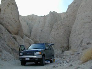
suv road trip
Dust, dirt, mud, snow. Beyond the county line, way back there, where you can discover ghost towns, old mines in the desert, hot springs, historic lodges, petroglyphs, river gorges, fire lookouts, waterfalls, and so much more.

Get motivated and travel in your SUV:

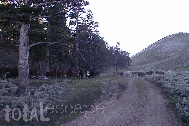
cattle roads

SUV camping

sierra roads

Camping Inyo

Primitive Camping Inyo National Forest – Eastern Sierra Car Camping

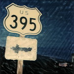
395 Sign

The mighty US Highway 395 runs from the Mojave Desert north through the eastern side of California, where the state line of Nevada meets. Mount Whitney and the tallest peaks run on the western range @ 14,000’+ the highest in elevation.

The Inyo Mountain range sits @ 11,000′ to the east side of the Sierra Nevada. Major elevations but little vegetation, when compared to it’s neighboring Sierra range. The Inyos lay in the rain shadow of the taller western mountains – but still get snow. Plenty of primitive SUV camping on the dirt roads throughout this desert area north of Death Valley.

camp sitesA more forested part of the Inyo National Forest is the Eastern Sierra region. Encompassing Mount Whitney & Mammoth Mountain area, plus the entire Hwy 395 corridor. This side of the Inyo National Forest is quite different that the desert range of Inyo.

Eastern Sierra back roads lead all over the place & may require 4WD. A high clearance 2WD can still get you to some awesome viewpoints & scenery. No picnic tables or toilets are available out in the boonies, but plenty of seclusion & vast open space wilderness. INYO Forest Service Map is highly advised for this area. There are many dirt roads for dispersed primitive camping w/ no fees. See the Camping Checklist to make sure you’ll have what you need.

Open (free) Camping along Hwy 395

Monache Meadows – This high elevation (8000′) south Sierra Meadow is accessible by 4WD truck or SUV. Near Kennedy Meadows CA

Walker Creek Rd – quick camp in the lowlands; an easy in route camping near oaks & creek. Southside of Olancha CA, look for turn off & follow dirt road up into the tight canyon. No RVs whatsoever.

Fish Slough Road – open desert camping w/ popular bouldering & rock climbing areas; near Indian Petroglyphs. N of Bishop, CA

Road# 6S16 – Pine Creek Road – Camp on creek, no facilities. NW of Bishop behind Rovana.

Lower Rock Creek Road – signed turn off US Hwy 395. Only a couple good camp spots tucked away in the trees. Small creek, very overgrown, traffic noise minimal. Nearby Round Valley @ Sherwin Pass had a big wildfire in wintertime (dry) FEB 2015!

crowley camps

Road# 4S02 – Owens Gorge Road – N of Bishop behind Lake Crowley. Free RV camping w/ boulders & pines

Road# 4S86 – Laurel Lakes Road – Camp in aspens @ small lakes, high elevation; no facilities. SE of Mammoth

Road# 2S05 – Deadman Creek – Camp in pine forest on creek; no facilities. N of Mammoth

Road# 2S07 – Owens River Road – Camp in pine forest, near hot springs; no facilities. N of Mammoth

Parker Lake Road – Camp along aspen creeks or in pine forest, near lakes; no facilities. E of Grant Lake on June Lake Loop (Hwy 158)

Coyote Flat 4×4 Bishop – just west of Bishop CA is a 4 wheel drive paradise, Coyote Creek – This steep dirt road is quite a climb. A true off-roaders dream of open space, great views, large meadows, & alpine lakes. Great primitive camping along creeks, in pine or aspen forest or near small secluded lakes. Real remote Sierra high country, usually only reached by backpackers, is accessible to those who dare to venture off the beaten path of Highway 395.

At the golf course keep your eyes peeled — from the highway take Schober Ln. / Underwood Ln. due west through a residential neighborhood to the backside of the town. Find the electrical power station to the left at the base of the hills. Veer onto the slightly paved /dirt road to the right of the station & continue straight up the sandy wash. 4×4 is recommended, since the lowest gears are needed for the careful climb. The road will begin to get steep & gain in elevation fast. The area up here changes with the mileage: passing pinyon pines on cliffs, topping off to high meadows & aspen lined creeks, finally reaching large towering pines & small alpine lakes with snow melt still visible. Basically TREE LINE. This region is most likely open only half the year, due to its high elevation of 8000’+ and winter snow.

  • BISHOP PASS TRAIL MAP
  • INYO Forest Service Map
  • PALISADES TRAIL MAP
  • WHITNEY MAPS
  • Primitive Camp San Diego

    Fire Light Cove

    Open car camping is allowed in several places inside Cleveland National Forest, although NO campfires are permitted in the backcountry (trailside or dirt roads) – due to the high fire danger. Your best for FREE, open, dispersed camping (with a campfire) is Anza Borrego Desert State Park. Lower elevations w/ summertime temperature can get very hot, so plan for higher elevation camps. The more you explore, the more you can find.

    The Tom Harrison San Diego Backcountry Map can get you out there on the back roads.

    Laguna Mountain (off Sunrise Hwy. S-1)
    [south Cleveland National Forest]
    East of San Diego; 40 miles E on Interstate 8

    • Pine Creek Road – with plenty of mountain biking trails
    • Noble Canyon – popular mountain biking trail
    • Kitchen Creek Road (warning, heavy use w/ US Border Patrol)

    Palomar Mountain (off Hwy. 76)
    [north Cleveland National Forest]
    N of San Diego; 40 miles N on Interstate 15

    Anza Borrego Desert Camping
    East of San Diego CA

    • Dispersed camping nearly anywhere in Anza desert (w/ a metal fire bucket)

    [higher elevations (1000-2000′) near Cleveland National Forest]

    • Oriflamme Canyon (off Road S-2)
    • Culp Valley (off Road S-22)
    • Blair Valley (off Road S-2)

    [lower elevations (100′) near Hwy 78]

    Cupl Valley Camp

    A winter day out exploring Culp Valley back roads.

    mortero trails

    Maps Mountains / San Diego Maps

    9N09 – Los Padres NF

    Quatal Canyon

    Quattale

    Quatal Cyn: Forest Road #9N09 – Los Padres National Forest

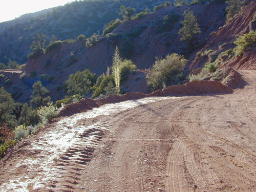
    Toad Spring Campground is located at high elevations (5700′) of Quatal Canyon, on a dirt road, half mile off the pavement of Cerro Noroeste Rd. The Chumash Wilderness, the Cuyama River Valley, Apache Saddle, Mount Abel plus the Bittercreek National Wildlife Refuge all surround this region. Los Padres National Forest meets the vineyards, orchards & farmlands, near Ventucopa. This is the badlands – 18 mile scenic dirt road, well signed at Hwy 33 & mostly graded. Quatal Cyn connects Ojai’s Highway 33 to the pinyon pine forest above near Pine Mountain Club (@ nearly a straight line?) Motorcycle dirt bikes & off-roaders dig this place. Street bikes will prefer paved Cerro Noroeste which runs the rim above to the north.

    This major dirt road is not gated at either end, but winter sometimes closes the route due to snow depth. It never stays closed very long, as some beefy 4×4 will break thru the snow berm soon enough. Top elevation @ Cerro Noreste is approximately 5500′.

    Quatal Canyon (possible Chumash word for Snake) is a giant high desert wash, ripping down from Cerro Noroeste (aka Mt Abel). Serious erosion w/ San Andreas fault lines – make it a very interesting canyon to explore on foot, horseback, motorbike, or mountain bike. The lupine & wildflowers here are incredible in late Spring in this red dirt canyon. Both nearby mountain peaks of Mount Abel & Mount Pinos are the tallest in Kern County.

    This rugged primitive canyon gets torn up during a good storm in late summer or a big winter storm. Red dirt gets very slippery – especially on the edges of a cliff. Boulders in the road, flash floods – or no road, river of mud! 2WD passenger cars can take this route in dry months, but high clearance is usually preferred. 4×4 is needed during heavy rain or snow – which could be half the year (Nov-April). Flash flooding is possible all over Los Padres NF, so know the weather forecast in advance.

    Seen small RVs, trucks pulling trailers & even a U-haul moving truck down this way. MapQuest always amazes me where they route you. This is a graded dirt road, some of the time. MapQuest should post a ‘see Total Escape for this route’. Come on folks, if you’re traveling cross-country, while moving your residence, buy a real map to explore the National Forests of California. You may end up sleeping way out here – broken down in the moving van, in the boonies & no cell coverage, cuz you had a one page, wrinkled map in faded ink, wet & smeared. And MapQuest told you it was paved. It’s not paved 90% of the way.

    Primitive camping is also allowed in the canyon wash or on the side routes, in certain seasons. Use an existing camp site when possible. Clean out the rock fire ring of litter & bottles, pull back all dry brush at camps & leave these places better than you found ’em. There are hundreds of dispersed campsites out here. The open wash is especially nice on a full moon hike, just bring friends – cuz it is considered “big cat country”. Camp fire restrictions are in tight control on this SoCal region. You will need a camp fire permit, a big shovel & lotsa water. Check with the Los Padres rangers to make sure. Recently Zaca Fire (2007) & the month long Day Fire (2006) both came very close to this precious sanctuary.

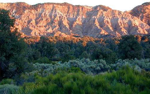
    The high desert terrain is pinyon forest, with yucca & manzanita. The eroded cliffs of red rock, white & orange hues, glow best during the clearest sunsets. You will almost think your in Utah, until you get up on a ridge & see the smog in the Central Valley of California.

    Mahu Tasen, a Native American camp and sweat lodge, has ceremonial grounds in a canyon off of Quatal. There is also a large rock quarry mining operation, as well as numerous wineries and ranches along this route. Several private residences too.

    Ballinger Canyon OHV Park is close by, 5 miles N on Hwy 33

    Carrizo Plain National Monument is also pretty close, N off Hwy 166

    towns nearby –

    PINE MOUNTAIN CA

    MARICOPA CA

    VENTUCOPA CA

    helpful maps of the region –
    Quatal Chumash Lands