Category Archives: Creeks

Faucherie Lake

Faucherie Kayak Camp

Faucherie Lake California

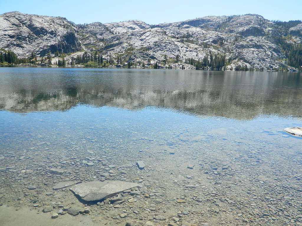
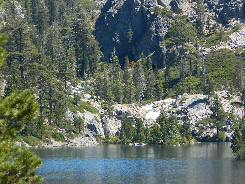
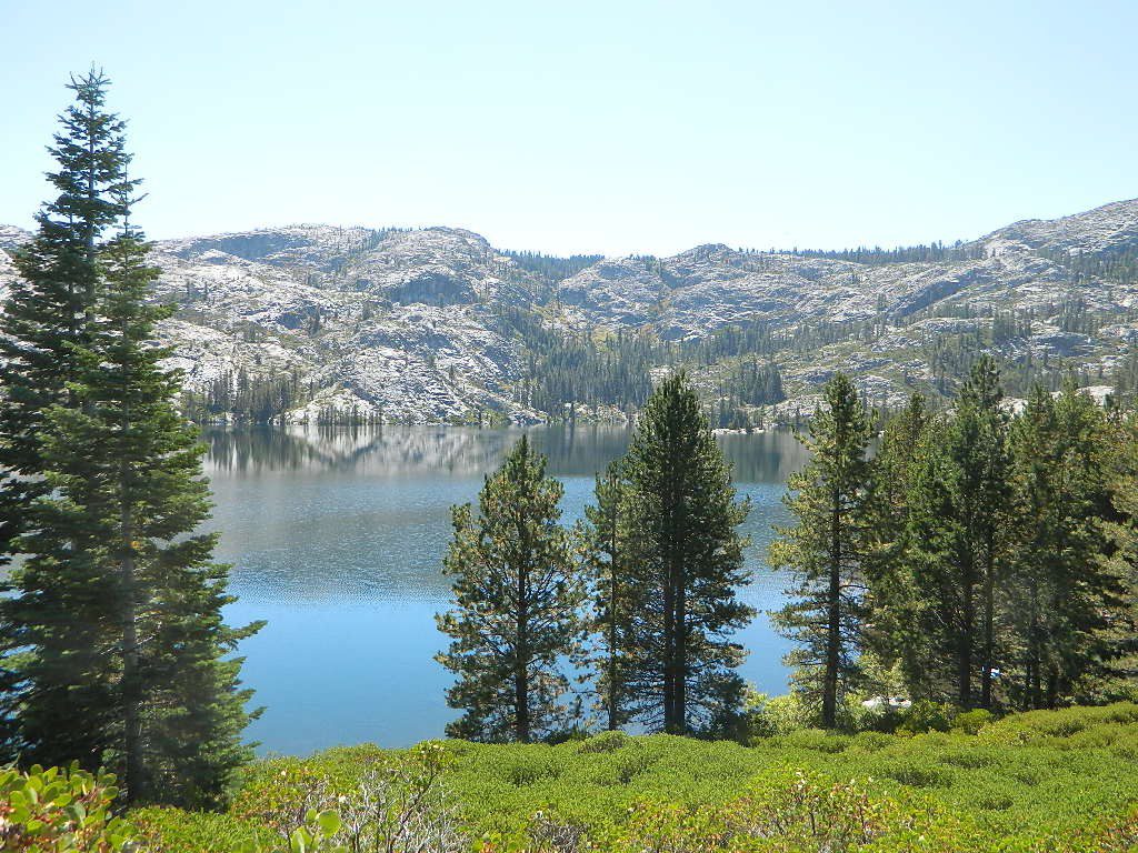
Lake Faucherie is set in spectacular scenery of granite mountains, with peaks and waterfalls all around. Many believe that you could only reach this kinda high elevation beauty by foot, with a backpack, but here it is – accessible by a very long, rough & rocky backroad.

No motorhomes, no camper trailers, no motorboats, no engine noises on the lake, no big families. Just well-deserved solitude, finally. Peace and quiet!

Perfect alpine lake for car-top boaters – those who carry their boats on top of a vehicle. But be warned very few ‘passenger cars’ make it back this far, due to the challenging roads.

BACKPACKING, CAMPING, CANOEING, FISHING, FLOATING, HIKING, KAYAKING, OFF-ROADING, SOAKING, STARGAZING, SWIMMING

No motorized boats or watercraft allowed. One public boat ramp; gravel parking area, vault toilets, gated entry for group campground. No more driving across dam (it is now gated).

NFS NFS NFS kayak camp hiking mountains NFS backroads snowmelt stars

Faucherie Lake Road – a spur road, off of the ‘843 Road’ leads up to both Sawmill & Faucherie Lakes, as well as the Canyon Creek Campground.

This primitive road forks off at Jackson Creek Campground, Tahoe NF, way, way back behind Bowman Lake. The rugged route is also known as Nevada County Rd #843-037. Conflicting numbers appear on USDA web site for this route, so don’t get confused.

The brown Forest Service signage is decent at Jackson Creek Campground – so if you get that far, you’re almost there. Sorta. Did I mention how crazy the road is? Any wet weather or snow will make this route “4×4 required”. This place is closed off about half the year, due to deep snow (NOV-MAY). Although on summer weekends, this area is busy for a remote high Sierra lakes region.

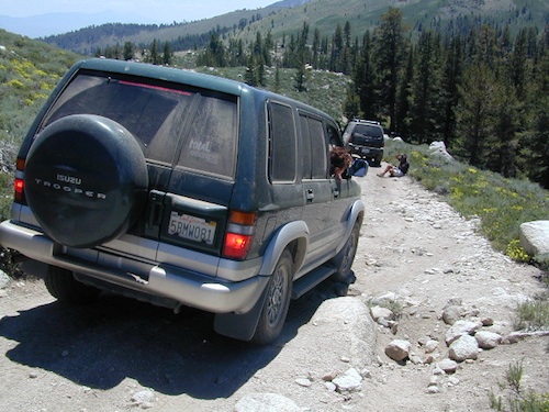
To reach this rugged Canyon Creek takes hours of driving with a good backcountry map and a reliable, high clearance rig. AWD Subies and mini SUVs beware, you’ll need a spotter on the bad sections of this road (or risk serious oil pan damage). Or perhaps maybe, we “shouldn’t be back on these kinda roads in that ‘lil sportwagon’ missy.”

See more details on driving directions for Canyon Creek Campground.

Crystal Clear Faucherie

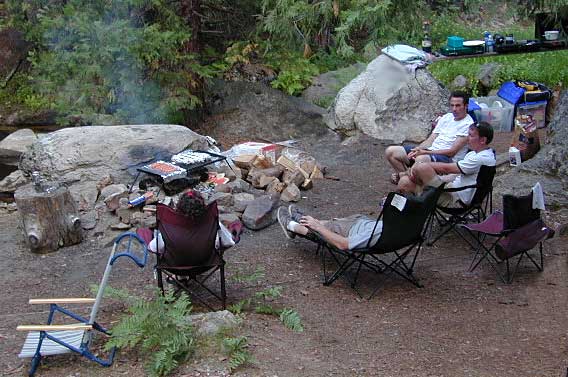
Faucherie Lake Group Campground
(25 people maximum per site)

• Elevation: 6135′
• Number of Sites: 2
• Vehicle Access: High Clearance Vehicle, no trailers
• Campsites Reservation: Yes
• Camp Fee: Yes
• Season: June – October
• Trailheads: Faucherie Lake Falls, Five Lakes Basin, French Lake, Haystack Mountain

camp
Faucherie Group Camping

Campground Reservations:
Nevada Irrigation District
530-265-5302

incoming flow

Faucherie Falls – Six waterfalls above lake:
Upper Faucherie Lake Falls #1: 39.4257 N, 120.5616 W
Upper Faucherie Lake Falls #2: 39.4257 N, 120.5606 W
Upper Faucherie Lake Falls #3: 39.4262 N, 120.5568 W
Upper Faucherie Lake Falls #4: 39.4268 N, 120.5550 W
Upper Faucherie Lake Falls #5: 39.4270 N, 120.5544 W
Upper Faucherie Lake Falls #6: 39.4272 N, 120.5538 W
USGS Topo: English Mountain

Granite Faucherie

23S64 – Sequoia NF

Sequoia Creeks

Bear Meadow: Forest Rd# 23S64 – Packsaddle Creek, Sequoia National Forest

For the more adventurous & ones seeking some seclusion, Bear Meadow is located up the dirt road a bit from Thompson Camp Spring . From Forest Road #23S16 @ Thompson Camp Spring – continue straight on the dirt road #23S64, cross over the one lane wooden bridge; within a mile, turn left into a secluded creek side camping area. Note: Bears are common here (hence the name Bear Meadow)!

Packsaddle Creek runs thru this forest. Very primitive area with rutted dirt roads & sometimes overgrown; there are several campsites back in here for the ones who seek the wild. (Yes, bears & wild animals are very common way back here). If you continue on straight on the main dirt road Packsaddle Meadow also has camping spots & small corral. The last time we were out this way (2002-ish), the dirt road does not connect with highway to the west, as indicated on the map; due to landslide.

Sequoia National Forest

Sequoia National Forest MAP

Closest small towns are:

Sierra Creeks

Trinity Alps Camping

Trinity Alps Wilderness Campgrounds

Northern California Camping
Shasta Trinity National Forest

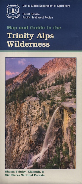
Trinity Alps Wilderness

camp


  • backpacking
  • camping
  • fishing spots
  • floating
  • hiking
  • hunting
  • kayaking
  • mountain biking
  • off-roading
  • soaking
  • swimming holes
  • tubing
  • stargazing

trinitydetail

campgrounds near Trinity trailheads –

camping Highway 3
(California State Route 3):

  • Horse Flat Campground, near Eagle Creek trailhead
  • Eagle Creek Campground @ Hwy, near Stoddard Lake & Eagle Creek trailhead
  • Goldfield Campground, near Boulder Creek trailhead
  • Big Flat Campground (via Coffee Creek Road #104)
  • Preacher Meadow Campground @ Hwy, near Swift Creek trailhead

camping Highway 299
(California State Route 299):

  • Ripstein Campground, near Canyon Creek trailhead
  • Hobo Gulch Campground, on Road #34N07
  • Hayden Flat Campground, near Big French Creek & Green Mountain
  • Denny Campground, near Jim Jam Ridge, East Fork & New River; Way out west
  • Groves Prairie Campground, near Grizzly Camp trailheadtrinityalps_lg
  • Happy Camp Campground, near Grizzly Camp trailhead

camping Highway 96
(California State Route 96):

  • Tish Tang Campground, near Tish Tang trailhead
  • Box Campground, near Red Cap Lake, Bear Hole & Mill Creek Lake
  • Klamath Riverside Campground @ Hwy, near Salmon Summit

camping Salmon River (Cecilville Road #1C02):

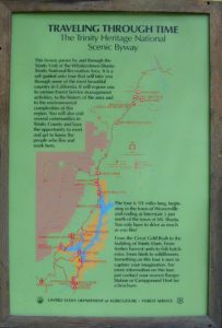
trinitysign
Trinity Scenic Byway (CA SR 3)

NorCal Topographic Maps – Trinity Map

Shasta Trinity National Forest Map

Pacific Crest Trail Map #6 (Shasta Cascades)

Trinity Alps Wilderness Map

outdoor destinations also nearby –


View Larger Map

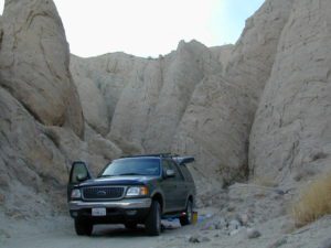
SUV Trail

Baker Creek
Baker Creek, Inyo NF

Since sport utility vehicles were invented for California yuppies, it makes perfect sense that this California market also has the awesome terrain to use these rugged rigs. After the first shopping cart door ding or windshield crack, most folks are open to taking their utilitarian vehicles on dirt roads, but some will only dream about it.

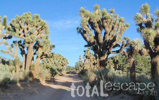
big bear joshua trees

Here at Total Escape, we are here to change all that. The fear of outdoors, the unknown, the capability, the driving skill. Your SUV is a good reason to be outdoors in the golden state, at bare minimum. No excuses. Enjoy the California you never knew – and sometimes that means getting off the pavement. Yes, more than 2 miles.

SUV trail – any path, dirt road or route that can be driven on; high clearance vehicle are often necessary, 4×4 needed on occasion. National Forests, canyons, deserts, mountains, country lane style drives, some classic routes skirt the wilderness boundaries. We have it all for ya here. Rock crawling Rubicon adventures, all the way down to the leisurely ‘Sunday drive’ thru a forest to a meadow for a picnic. 

Jeep trails, forest roads, graded roads, gravel roads, back roads, dirt roads, 4×4 routes, OHV (off highway vehicle) trails.

MAPS will get you out there!
suv road trip
Dust, dirt, mud, snow. Beyond the county line, way back there, where you can discover ghost towns, old mines in the desert, hot springs, historic lodges, petroglyphs, river gorges, fire lookouts, waterfalls, and so much more.

Get motivated and travel in your SUV:

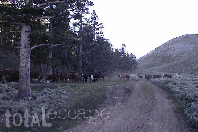
cattle roads

SUV camping

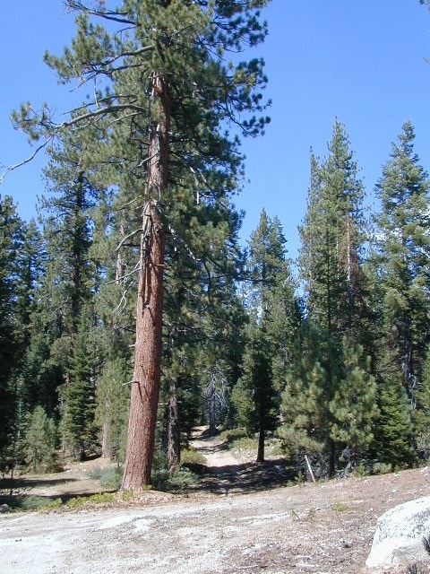
sierra roads

Joss House Weaverville

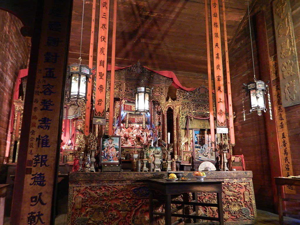
joss_house_interior

The Joss House

Historic Chinese Taoist Temple

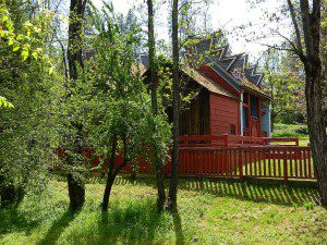
A small but impressive State Historic Park located in downtown Weaverville, a small Northern California town located near the Trinity Alps Wilderness and the Trinity River. State Park

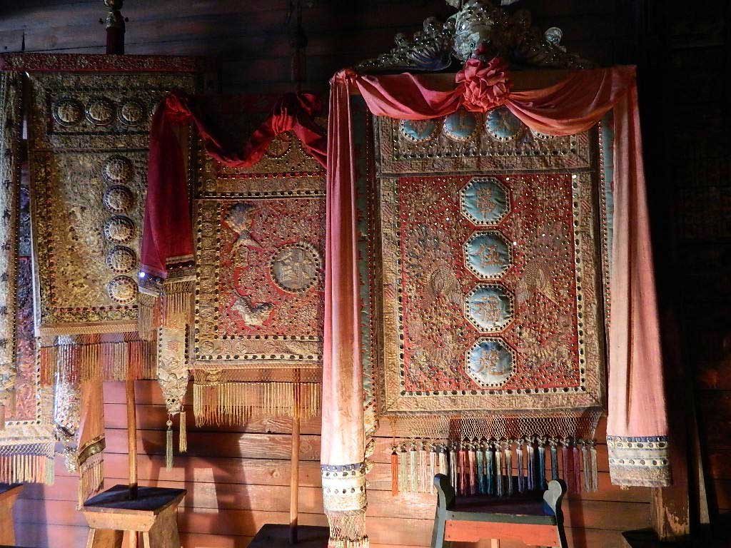
DSCN8505This darling park is only open Thursday through Sundays (mid day) and tours can be arranged. A one room museum tells the story of the Chinese miners who came to the Trinity River region in search of gold. The neighboring temple is a historic masterpiece and has been preserved for all to enjoy. The wooden building has withstood deep snow falls and logging trucks rumbling by on the highway a block away. Neighboring museums, outdoor displays and lush creek side parks make for ideal picnic spots.

parks.ca.gov/?page_id=457

Moon Festival, Weaverville, CA

Annual “Moon Festival” at this park location in October.

joss_decore

Weaverville Joss House.
Not to be confused w/ the Chinese Josh House in San Francisco.

Camping Inyo

Primitive Camping Inyo National Forest – Eastern Sierra Car Camping

395 Sign

The mighty US Highway 395 runs from the Mojave Desert north through the eastern side of California, where the state line of Nevada meets. Mount Whitney and the tallest peaks run on the western range @ 14,000’+ the highest in elevation.

The Inyo Mountain range sits @ 11,000′ to the east side of the Sierra Nevada. Major elevations but little vegetation, when compared to it’s neighboring Sierra range. The Inyos lay in the rain shadow of the taller western mountains – but still get snow. Plenty of primitive SUV camping on the dirt roads throughout this desert area north of Death Valley.

camp sitesA more forested part of the Inyo National Forest is the Eastern Sierra region. Encompassing Mount Whitney & Mammoth Mountain area, plus the entire Hwy 395 corridor. This side of the Inyo National Forest is quite different that the desert range of Inyo.
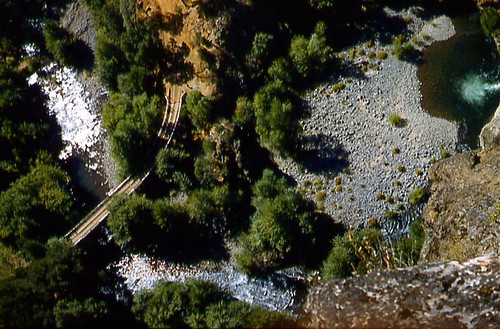
Eastern Sierra back roads lead all over the place & may require 4WD. A high clearance 2WD can still get you to some awesome viewpoints & scenery. No picnic tables or toilets are available out in the boonies, but plenty of seclusion & vast open space wilderness. INYO Forest Service Map is highly advised for this area. There are many dirt roads for dispersed primitive camping w/ no fees. See the Camping Checklist to make sure you’ll have what you need.

Open (free) Camping along Hwy 395

Monache Meadows – This high elevation (8000′) south Sierra Meadow is accessible by 4WD truck or SUV. Near Kennedy Meadows CA

Walker Creek Rd – quick camp in the lowlands; an easy in route camping near oaks & creek. Southside of Olancha CA, look for turn off & follow dirt road up into the tight canyon. No RVs whatsoever.

Fish Slough Road – open desert camping w/ popular bouldering & rock climbing areas; near Indian Petroglyphs. N of Bishop, CA

Road# 6S16 – Pine Creek Road – Camp on creek, no facilities. NW of Bishop behind Rovana.

Lower Rock Creek Road – signed turn off US Hwy 395. Only a couple good camp spots tucked away in the trees. Small creek, very overgrown, traffic noise minimal. Nearby Round Valley @ Sherwin Pass had a big wildfire in wintertime (dry) FEB 2015!

crowley camps

Road# 4S02 – Owens Gorge Road – N of Bishop behind Lake Crowley. Free RV camping w/ boulders & pines

Road# 4S86 – Laurel Lakes Road – Camp in aspens @ small lakes, high elevation; no facilities. SE of Mammoth

Road# 2S05 – Deadman Creek – Camp in pine forest on creek; no facilities. N of Mammoth

Road# 2S07 – Owens River Road – Camp in pine forest, near hot springs; no facilities. N of Mammoth

Parker Lake Road – Camp along aspen creeks or in pine forest, near lakes; no facilities. E of Grant Lake on June Lake Loop (Hwy 158)

Coyote Flat 4×4 Bishop – just west of Bishop CA is a 4 wheel drive paradise, Coyote Creek – This steep dirt road is quite a climb. A true off-roaders dream of open space, great views, large meadows, & alpine lakes. Great primitive camping along creeks, in pine or aspen forest or near small secluded lakes. Real remote Sierra high country, usually only reached by backpackers, is accessible to those who dare to venture off the beaten path of Highway 395.

At the golf course keep your eyes peeled — from the highway take Schober Ln. / Underwood Ln. due west through a residential neighborhood to the backside of the town. Find the electrical power station to the left at the base of the hills. Veer onto the slightly paved /dirt road to the right of the station & continue straight up the sandy wash. 4×4 is recommended, since the lowest gears are needed for the careful climb. The road will begin to get steep & gain in elevation fast. The area up here changes with the mileage: passing pinyon pines on cliffs, topping off to high meadows & aspen lined creeks, finally reaching large towering pines & small alpine lakes with snow melt still visible. Basically TREE LINE. This region is most likely open only half the year, due to its high elevation of 8000’+ and winter snow.

  • BISHOP PASS TRAIL MAP
  • INYO Forest Service Map
  • PALISADES TRAIL MAP
  • WHITNEY MAPS
  • Small Campgrounds on Creek

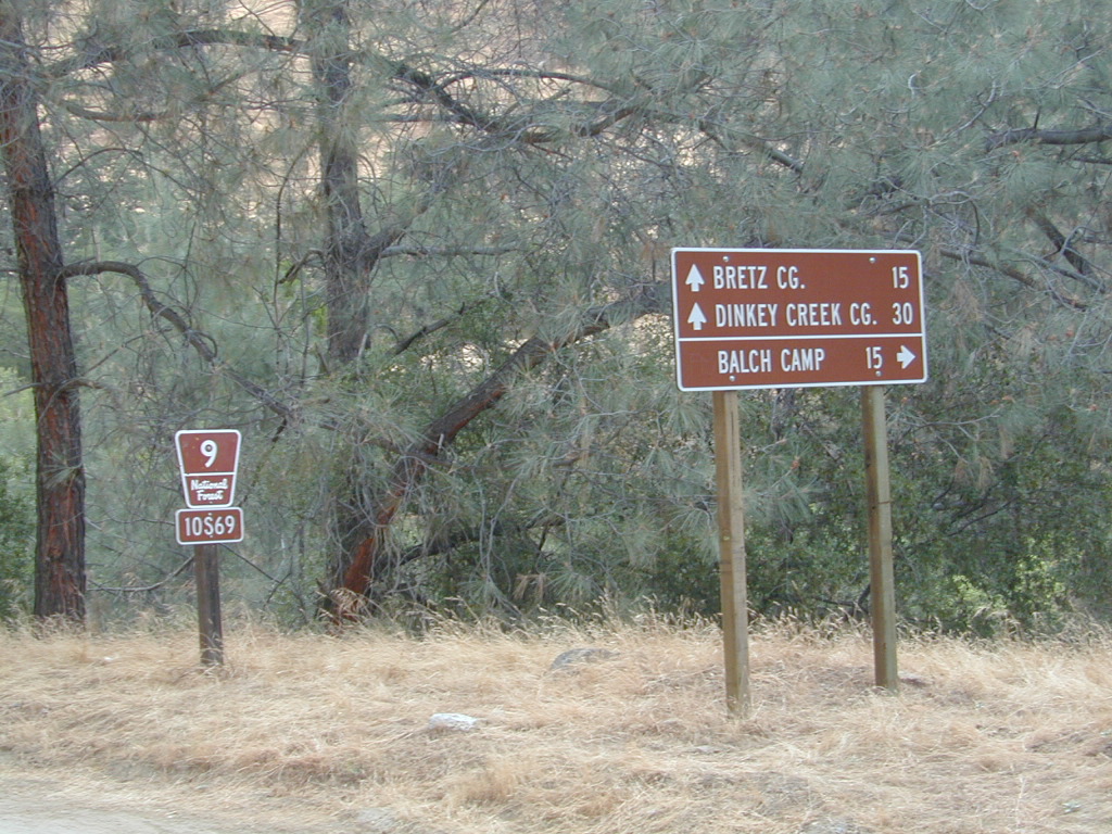
    Road 10S69

    California Small Campgrounds on Creeks

    campground region town
    Beaver Creek Klamath NF Happy Camp
    Grider Creek Klamath NF Happy Camp
    Trout Creek Shasta NF McCloud, CA
    Bear Creek Mendocino Ukiah, CA
    Mokelumne Eldorado NF Jackson, CA
    Dark Canyon SanBerdu Idyllwild
    Grays Meadow Inyo NF Independence
    Limekiln SP Los Padres NF Big Sur, CA
    Patrick Creek 6 Rivers NF Crescent City
    Rock Creek Sierra NF Bass Lake
    McGee Creek Inyo NF Tom’s Place
    Camp Wishon Sequoia NF Springville

    Creekside Camping in California

    HIdden Falls
    creekside cabins

    Wanna do day-trips to this kinda place, fishing or sightseeing, but sleep indoors? Then check out lodging in these fine California river towns.

    Cold Creek Campground

    Cold Creek Camp

    Truckee Campgrounds, Tahoe NF

    Cold Creek Campground: N of Truckee, CA

    DSCN0046

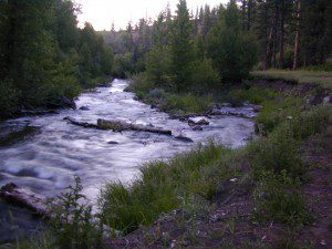
    A small developed campground along forested Highway 89, with raging creek, fishing spots, and hiking trails and mountain biking trails nearby. Paved, level camp sites, small RVs okay w/ access to the numerous Sierra Nevada destinations with several lakes and reservoirs nearby.

    This is a popular overnight stop “in route” for many campers and bikers traveling further on to the Northern Sierra Nevada mountains. You can exit off Interstate 80 @ Truckee, and be at this camp in minutes. Car camp, tent camping, a few spaces for small motorhomes. Plenty hiking and mountain biking trails.

    Cold Creek Campground, California

    on the Cold Stream;
    Campground open May-October
    (depending on snow)

    High Sierra / Tahoe Truckee Camping

    13 camp sites on Cold Stream @ 5800′ elevation; vault toilets, river and piped water, bear boxes; first come, first served camping

    Max Camper Length: 22′

    Rangers Office: 530-265-4531

    The highway traffic noise makes this place a ‘short and sweet’ one nighter top pick, great for those camping in route to another destination. Another developed camp is on the opposite side of the highway, less than a mile north called Cottonwood Campground.

    Free Camping nearby.
    If you are seeking primitive camping near this area, start with Little Truckee Summit at the lakes turn off road on SR 89 – about 2 miles south of the Cold Creek Campground.

    Tahioe USDA MapTake Tahoe Forest Road #5, a major paved road, approximately 12 miles back to the big meadows. Look for the unsigned dirt roads on left side of road nearing Webber Lake. The largest lake in the region, Independence Lake, is a paved side route off to the south. Further back on Road #5 the pavement ends at Jackson Meadows Reservoir. Very rough rocky road out to Bowman Lake w/ several developed campgrounds in the vicinity.


    Tahoe trailheads lead out to –
    alpine fishing lakes
    mountain peaks
    Treasure Mountain 7085′
    Tahoe National Forest 
    OHV Area @ Prosser Reservoir

    NEARBY TOWNS:

    ROAD CONDITIONS:

    Tahoe and Truckee are known for their brutal winters and deep snows pack. Call CalTrans ahead of your departure if you are even slightly expecting any kind of precipitation. Truckee – winter road conditions


    View Larger Map

    Ishi Wilderness

    Bridge and Chute from top of Black Rock

    NorCal Ishi Wilderness

    41,840 acres
    20 miles N of Chico, CA
    Lassen National Forest

    • Barkley Mountain (elev. 4488′)
    • Black Rock Campground
    • Deer Creek
    • Flat Iron Mountain (elev. 4400′)
    • Iron Mountain (elev. 3274′)
    • Indian Ridge Campground
    • Mill Creek
    • Peligreen Place
    • Pine Creek
    • Pinnacle Peak (elev. 3293′)
    • South Antelope Campground
    • Twentymile Hollow

    Up in the mountains behind Chico sits a rugged landscape of deep canyons lined with bizarre rock formations and roaring mountain creeks. Wilderness encompasses lower elevations – ranging from 1500′ – 3500′  – making this outdoor destination a winter haven, when the rest of the backcountry is covered in several feet of snow. One of the most historic wilderness areas in the state, as the aboriginal existence of the Native Americans came to an end in this area.

    COHASSET ROAD climbs up the volcanic fin of Cohasset Ridge into the pine forests high above the valley floor. The paved road becomes dirt and the road name changes to Ponderosa Way (Lassen Road# 28N29). The Ishi Wilderness can also be accessed from the north side via Highway 32, near the Tehama State Game Refuge.


    View Larger Map

    • backpacking trails
    • hiking trails
    • fishing creeks
    • horseback trails
    • wildlife viewing


    Ishi Wilderness mapIshi Wilderness Map

    Ishi Wilderness


    Partington Cove Hike in Big Sur

    Big Sur – Partington Cove

    DSCN3026
    Go west to & visit the oceans edge or head east to explore a deep redwood canyon.big

    Approx. 5 miles South of Big Sur State Park and just north of Julia Pfeiffer Burn State Park, this unmarked dirt turnout area on Highway 1 is a rare find. Rocky shorelines at the historic point, plus the scenic tree lined waterfall & cross the highway & head east for a shady Redwood canyon forest with plenty of backpacking options into the Big Sur back country of Los Padres National Forest. From bright sunny ocean view hillsides to dark shady forests.

    This portion of the highway cuts into a deep bend along the coast & has no markings to the paradise that lies within. A steep dirt fire road (down to the cove) with metal gate is your only clue. Dirt parking area on both sides of the road indicate that people have parked here before.

    This un-signed secluded hide-away has a variety of landscape & sites to see. You could easily kill 6-8 hours just in this canyon alone!! Definitely not a hurry through kind of place. Take your time, enjoy the view, tide pools, bring your swim suits & refresh in the creek. Carry a picnic eastbound into a shady creek-bed canyon & watch the sun dance through the towering pines above.

    Driving northbound on Highway 1, look for large hair-pin turn out in canyon area – approx. 3-5 mi. North of Julia Pfeiffer State Park in wide dirt areas along roadside. Located in between Julia State Park & Pfeiffer Big Sur State Park.

    Hike down the dusty wide gated fire road in dry brush chaparral. The view of Redwood trees, the royal blue ocean in front of you, the sounds of a water falling creek. The trail forks off in 3 directions:

    Right / Rock Beach – this a boulder lined cove where the clear fresh water stream meets the ocean. Small pools & waterfalls can be found just upstream .

    Bridge Crossing / Point – through a wooden tunnel to a cliff area with tide pools & wooden structure (an old boat launch?)

    Left / Up Stream – a forested canyon w/ a variety of trees; dead ends a few hundred yards up into the canyon

    DSCN3021Another option to this canyon is the East side:
    Hike up inland (away from ocean) into a densely forested creek area. Redwoods, waterfalls & boulders. Deer sightings are quite common in this area. Shady & dark this trail climbs gradually in elevation. One fork of the trail leads to an old Redwood Grove. A portion of the trail is closed 2.5 mi. up due to a landslide. But overall the is a perfect option for backpackers wanting a short hike.

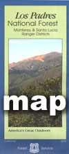
  • Los Padres Maps (USDA)
  • Big Sur Map (NatGeo)
  • Ventana Wilderness Map w/ Silver Peak
  • Split Mountain Anza Borrego

    Anza Borrego Desert State Park

    Fish Creek Campground

    E of Borrego Springs CA.

    Well off Highway 78, past the busy OHV area, quads at Ocotillo Wells, past all the rural homes & the redneck bar, past the Elephant Trees hike – where the road goes from pavement to graded dirt to a wild desert wash, in a few short miles. If you don’t know where you are, then you’re almost there.

    This is a large wild desert wash with huge unstable walls, several areas for wind caves and a few historic markers. Lots of 4×4 trails beyonf Split Mountain, to the south. No real water in sight, except maybe the puddle you are standing in as it starts to poor. The soft sand can give way to a few heavy rain drops. May not be a great area to be during a serious storm or flash flood possibility, unless you want to get buried alive. Check the weather forecast in advance.

    A ratty, small developed campground of Fish Creek is on the left side, upon the ledge. Fish Creek Campground is picnic tables & a pit toilet – at most. Ya may as well camp out in the open, off road, like the pioneers did. You can do that out here in Anza Borrego. (Just keep it clean & carry a metal fire container.)

    split mountain

    Split Mountain, Anza Borrego Desert State Park

    This portion of the “mountain” is less than a mile from Fish Creek Campground. Fossils can be found in these walls. Shade is good in summer months, when day temps reach 100+. The rest of the year is ideal weather. This mountain split from water, erosion, mega force. High walls, wind caves, desert washes, great primitive camping & 4×4 routes.

    This desert scenic drive will require you to get that SUV dusty. 4 wheel drive not required. No RVs past the campground. All low lying passenger cars are warned, there are uneven areas, soft sand & boulders.

    Duh, do not attempt this one when desert flash floods are possible.

    ANZA BORREGO STATE PARK

    ANZA BORREGO MAP

    SAN DIEGO BACKCOUNTRY MAP

    nearby towns –

  • BORREGO SPRINGS CA
  • OCOTILLO WELLS CA
  • SALTON SEA CA

    splitmountain

    Great desert back road exploring out here. A zillions washes & canyons.

  • Tuttle Creek Campground

    Tuttle Way

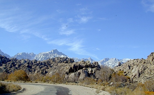
    There she sits, above Lone Pine California, right next to the High Sierra. Above the Alabama Hills….. at the base of Whitney, on an alluvial fan overlooking the Owens Valley & US Hwy 395.

    Tuttle Creek Campground is perfect stop for RVers traveling the Eastern Sierra, beginner mountain bikers needing to explore & test their skills, or the avid backpackers waiting to acclimate & get a good nights rest in reasonable temperatures, before attempting the tallest Mount Whitney.

    Tuttle Creek is a BLM Campground w/ picnic tables, fire rings or BBQs. Awesome creek camping at the base of Mount Whitney. Hear the water rushing over the boulders; soothing for bedtime or stargazing. The fishing is decent. Wildflowers like indian paintbrush & lupine can be found here in spring and summer, in the high desert sage lands of the Eastern Sierra.

    • Elevation: 5120′
    • Number of Sites: 85
    • Vehicle Accessibility: RVs okay
    • Camp Fee: No
    • Campsites Reservation: No
    • Length of Stay: 14 Days
    • Season: March – October
    • Trailheads: John Muir Wilderness

    From Lone Pine CA, head West 3 miles on Whitney Portal Rd, turn LEFT on Horseshoe Meadow Road, within 2 miles, turn right on a dirt road that leads to the campground.

    Tuttle Creek flows past campground; No drinking water.
    Pit toilets; Some shade.

    BLM Lone Pine
    760-872-4881

    LONE PINE CA

    HINT: On the dirt back roads, on the slopes of the Eastern Sierra, between Lone Pine & Bishop, you can find & fishing holes & primitive camps (free camping) on any numerous of creeks; some you can park so close that you don’t have to leave your vehicle to fish. You may need a high clearance vehicle to reach some.

    Fish Slough

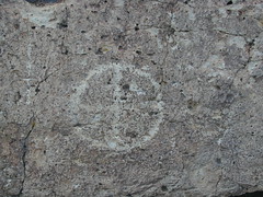
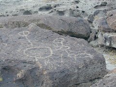
    On the north end of Bishop CA, running parallel to & on the west side of Hwy 6, is a long dirt road called Fish Slough Rd. Indian petroglyphs can be found out here & also on the ridges along Chalk Bluff Rd (to the south). The entire region is called a volcanic tableland & hot springs are very common in this region. The Owens River Gorge & Lake Crowley are to the west. High clearance vehicles are recommended for traveling these back roads, but 4×4 is rarely needed.

    Read & see more on Fish Slough Petroglyphs

    BISHOP CA

    LAKE CROWLEY

    BENTON HOT SPRINGS

    Visit Hwy 395 Hot Springs

    Indian Art Eastern Sierra

    Fish Slough

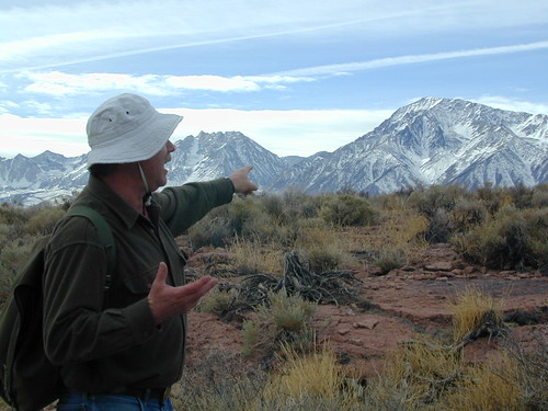
    Dave Explains