Tag Archives: backroads

Mason Valley Truck Trail

jeepinoriflamme

Mason Valley – Oriflamme Canyon

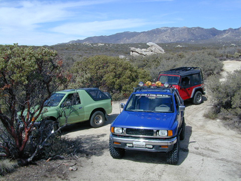
Mason Valley Truck Trail refers to a network of dirt roads on the west side of San Diego County Road S2, on the steep mountain slopes overlooking the desert badlands of Anza Borrego State Park. These primitive back roads lead up to the Pacific Crest Trail (PCT) on the edge of Laguna Recreation Area.

Oriflamme Canyon, Chariot Canyon & Rodriguez Trail are all in the area. Chaparral mountain trails lead off in many directions with dead end canyons and side routes. This high desert region consists of private property, ranches with gates, various trails and desert dirt roads – between 2400′ and 4000′ elevation.

A good portion of the lands on the west side of paved S2 are not inside the State Park boundary, but Oriflamme is the exception. The Anza Borrego Desert State Park borders includes this particular back road canyon, almost up to the Cleveland National Forest. Awesome locals little secret!
Laguna Recreation Area

  • Oriflamme Mountain @ 4611′ elevation
  • Chariot Mountain @ 4644′ elevation

San Diego Backcountry MapThe main access to Mason Valley Truck Trail is located near the bottom of Box Canyon (on Co. Rd. S2). The sign at the turn off reads Oriflamme Canyon. The first sandy mile or so gets kinda confusing, as the ranch road, dirt trails and natural desert wash merge with the seasons and rains. You might encounter locked gates if you take the wrong turn. In the wash look for signage for Oriflamme.

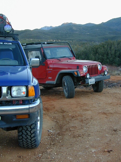
Approximately 2 miles from S2 the dirt road splits. To the left is Mason Valley Truck Trail, which continues up  Oriflamme Canyon and into wooded Chariot Canyon, eventually connecting with Hwy 78 (at Banner Grade). And the other choice on the right is a rugged 4×4 route called Rodriguez Truck Trail which is 7 miles long and meets back up with the main Oriflamme road about a mile from the highway. These back roads encircle the biggest peak around called Chariot Mountain.

Mountain bikers, hikers, horses and vehicles all use these routes, so be prepared to see others out exploring and please, always yield to equestrian traffic.
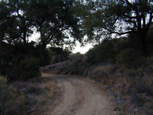
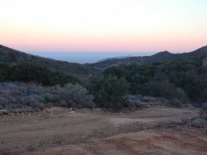
Mason Valley Truck Trail Anza Views

Several open, free camp spots lower in the canyon w/ large cottonwood trees. More hidden camps to be found higher up the mountain. A decent topo map, a campfire permit and a metal fire bucket is highly advised.

PCT: Pacific Crest Trail traverses the ridge line near 4000-6000′ and the desert valley below is nearing 2000′ elevation. The ambitious plan for the California Riding and Hiking Trail is still under construction and routed nearby as well.

Butterfield RV Ranch and the historic adobe Vallecito Stage Stop, are the closest thing to civilization you will find around these parts Don’t count on gasoline or cell phone coverage anywhere near here.

NEARBY TOWNS:Anza Borrego Desert Map

Desert / Mountains
SOCAL MAPS:


View Larger Map


Oregon Hill Road

oregon hil lroad

Oregon Hill Road –
Sierra Nevada scenic drives

also known as Challenge Road, driving from the lake up

Oregon Peak & Little Oregon Creek
Bullards Bar & North Fork of the Yuba River

2800′ elevation

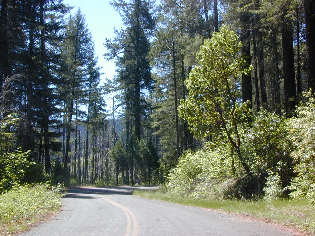
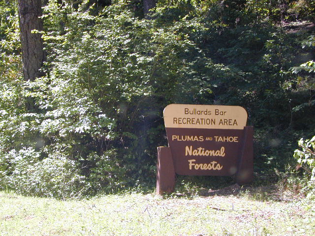
Oregon Hill Road connects the rural residential community of Challenge to the recreation lake called Bullards Bar Reservoir, which is bordering on the Tahoe National Forest and Plumas National Forest park boundaries.

This bumpy, little, back road route is kind of a “short cut” for those driving from Nevada City to Oroville, CA.

From the Sacramento Valley, N of Marysville, take Hwy 70 N to Honcut, exit freeway and find your way east to La Porte Rd. Take LaPorte Road past Brownsville and up to the next neighborhood called Challenge; Turn right at the small, one room post office in Challenge and continue 14 miles down to New Bullards Bar.

Or, if coming in to this lake from Gold Country Highway 49, take Moonshine Road or Marysville Road. Two developed campgrounds are located at the lake shore, on the east side. Boat in camping is most popular at Bullards Bar. The closed campground on the ridge (west side, above the lake) is called Burnt Bridge and has been non operational for years now, due to numerous wildfires.


View Larger Map

bullardsbarrecr

New Bullards Bar Reservoir is a prime water sports recreation and house-boating destination, nestled in between the Gold Country and the Sacramento Valley near Yuba City, CA.

Dinkey Lakes Wilderness

Central Sierra Nevada

Wilderness lakes
Courtright Reservoir w/ CLIFF LAKE trailhead

Dinkey Lakes California

Dinkey Creek Road
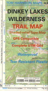
Tom Harrison Dinkey Map East of Shaver Lake, Hwy 168

30,000 acres

Sierra National Forest

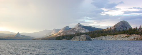
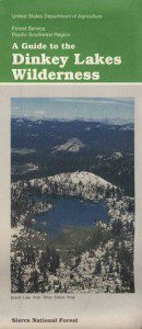
Located in the high elevations between Shaver Lake and Courtright Reservoir is the Dinkey Lakes region. Granite domes and alpine lakes are the key feature of this mid-Sierra forest. John Muir Wilderness is located on the east (right) side of Courtright, while Dinkey Lakes Wilderness is on the opposite west (left) side.

  • alpine lakes
  • backpacking
  • camping
  • creeks & streams
  • cross country ski
  • fishing
  • granite domes
  • horseback trails
  • hiking trails
  • off-roading
  • rock climbing
  • snowmobiling
  • snowshoe
  • stargazing
  • wildflowers
  • wildlife viewing

4 wheel drive trails serve some of the Wilderness boundaries. Dusy Ershim OHV Trail (pronounced ‘doosey’) crosses the boulder strewn terrain for 30 rugged miles, from Courtright to Kaiser Pass. Road #8S10 is known as ‘Red Lake Road’ and pretty popular among 4x4s and fishermen. This high clearance 4×4 trail accesses both scenic lakes – Red Lake and Coyote Lake, as well as Dinkey Wilderness trailheads.

Trailhead Access:

Access the trailheads on the north side of Dinkey Creek Road, a paved route which connects Shaver Lake to the Sequoia McKinley Grove and then on to Wishon and Courtright. Rock Creek Road #9S10 becomes dirt and leads up to the Dinkey Lakes hiking trails.

Paved Dinkey Creek Road leads out to the Trails End trailhead. Dinkey Creek and main Campground is located at 5840' elevation and tucked deep in the forest, about 10 miles east of Shaver Lake. Beyond the Sequoia grove is Wishon & Courtright Reservoirs w/ Cliff Lake trailhead. All the other trailheads located at these large lakes lead over to John Muir Wilderness.

Paved Dinkey Creek Road leads out to the Trails End trailhead. Dinkey Creek and main Campground is located at 5840′ elevation and tucked deep in the forest, about 10 miles east of Shaver Lake. Beyond the Sequoia grove is Wishon & Courtright Reservoirs w/ Cliff Lake trailhead. All the other trailheads located at these large lakes lead over to John Muir Wilderness.

The Dinky Creek locale (on most maps) is located at the main Dinky Creek Campground, along Dinky Creek near the historic Dinky bridge on a small, paved, side route north of the main road. Although this summer vacation area is well signed, people can often miss this turn, especially at night.

DSCN0005

USDA map Two main hiking trail systems can be accessed from the west, via Tamarack Ridge (parking at Hwy 168). Both dirt routes from highway, Road #9S09 and Road #8S10 lead out to Dinkey trails, although one is rugged 4×4 trail, Red Mountain OHV, and the other is a long, graded dirt road.

Kaiser Pass Road to the north side has even more trails leading into Dinkey. Badger Flat and White Bark trailheads are closest points to Huntington Lake, CA. Bolsillo trailhead is way back near Florence Lake, which also has a major trailhead and paved parking.

NFS


local rangers:

Sierra National Forest
High Sierra Ranger District
29688 Auberry Rd
Prather, CA 93651
559-855-5355

Secluded Camping
4×4 Camping at Coyote Lake


Primitive Camp San Diego

Fire Light Cove

Open car camping is allowed in several places inside Cleveland National Forest, although NO campfires are permitted in the backcountry (trailside or dirt roads) – due to the high fire danger. Your best for FREE, open, dispersed camping (with a campfire) is Anza Borrego Desert State Park. Lower elevations w/ summertime temperature can get very hot, so plan for higher elevation camps. The more you explore, the more you can find.

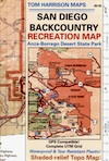
The Tom Harrison San Diego Backcountry Map can get you out there on the back roads.
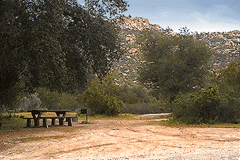
Laguna Mountain (off Sunrise Hwy. S-1)
[south Cleveland National Forest]
East of San Diego; 40 miles E on Interstate 8

  • Pine Creek Road – with plenty of mountain biking trails
  • Noble Canyon – popular mountain biking trail
  • Kitchen Creek Road (warning, heavy use w/ US Border Patrol)

Palomar Mountain (off Hwy. 76)
[north Cleveland National Forest]
N of San Diego; 40 miles N on Interstate 15

Anza Borrego Desert Camping
East of San Diego CA

  • Dispersed camping nearly anywhere in Anza desert (w/ a metal fire bucket)

[higher elevations (1000-2000′) near Cleveland National Forest]

  • Oriflamme Canyon (off Road S-2)
  • Culp Valley (off Road S-22)
  • Blair Valley (off Road S-2)

[lower elevations (100′) near Hwy 78]

Cupl Valley Camp

A winter day out exploring Culp Valley back roads.

mortero trails

Maps Mountains / San Diego Maps

Indian Flats Campground

Temecula Camping / Warner Springs Campground

San Diego Mountains – Cleveland National Forest

Indian Flats Campground

Indian Flat Campground is located on the seasonal San Luis Rey River in rural North San Diego County.  From I-15 @ Temecula, CA travel eastbound on Highway 79. Look for the tiny turn off  (on left side) for forest road #9N05, sorta near glider airport located west of Warner Springs. This poorly paved backcountry route (half dirt/mud at times) is also known as both Indian Flats Road or Lost Valley Road.

Graded dirt road (paved in some portions) travel is approximately 6.5 miles to campground, look for gate and turn off on the left side. When you see the giant boulder near the entrance, you’ll know you’ve made it to the right place.

Oak trees and a few pines, plenty shade, boulders and mountain scenery, this is a great small campground that is well away from everything in Southern California.  Seasonal creek-sized river and boulder waterfall often dries up in late summer. This means a wet spring is the best time to visit this camp. Hiking, mountain biking trails and hammock spots. Pacific Crest Trail access.

Cleveland National Forest
Palomar Ranger District
760-788-0250

ClevelandMap_07

Elevation: 3,600′
Number of Sites: 17
Camping Reservations: None
Sites Available: First come, First serve
Vehicle Accessibility: Length 15′ max.
Length of Stay: 14 Days
Water: No Piped; Seasonal creek nearby
Toilet: Vault
Season: Closed for mud & snow during winter months
Fee: Yes
Operated By: National Forest Service
Closest Town: Warner Springs, CA

Indian Flat
Indian Flat Campground Entrance