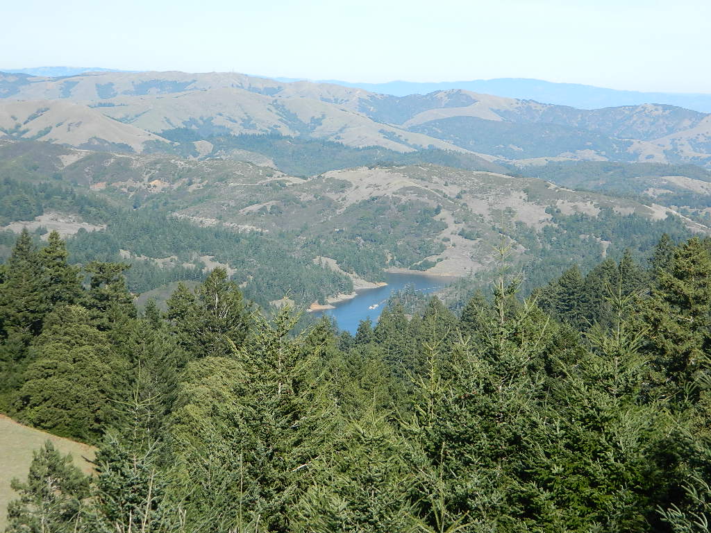
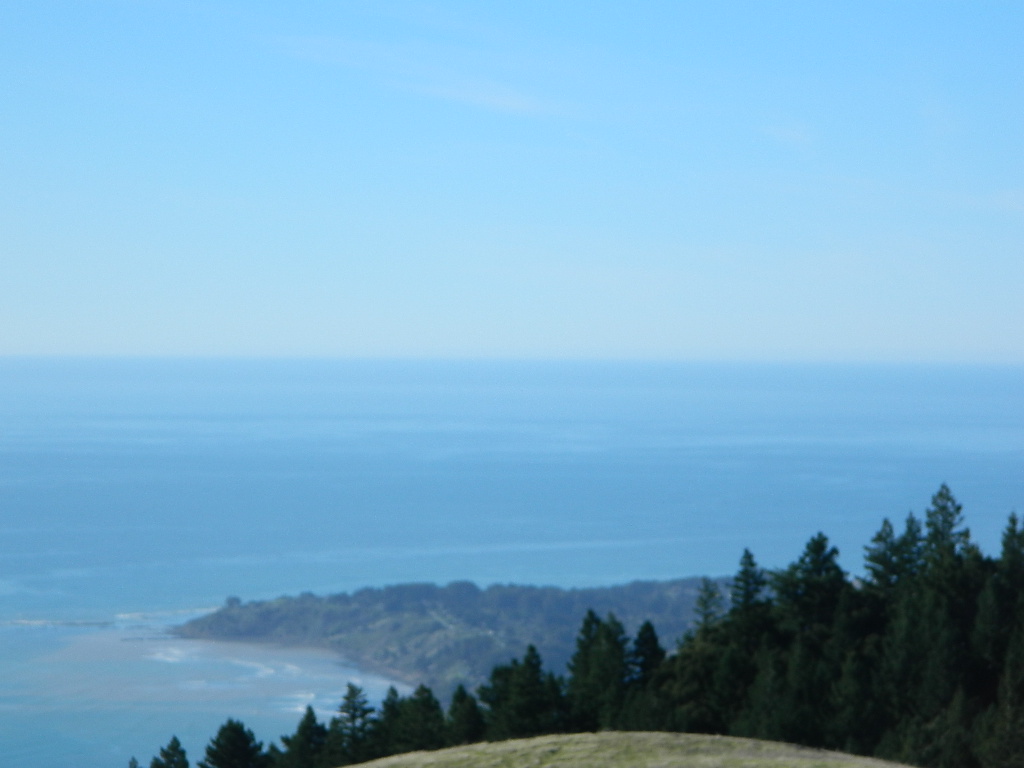
One of the most visited coastlines in the world, San Francisco – where 2 peninsulas almost meet – at the mouth of the “hidden bay”.
This is the Golden Gate to California and the Wild West.
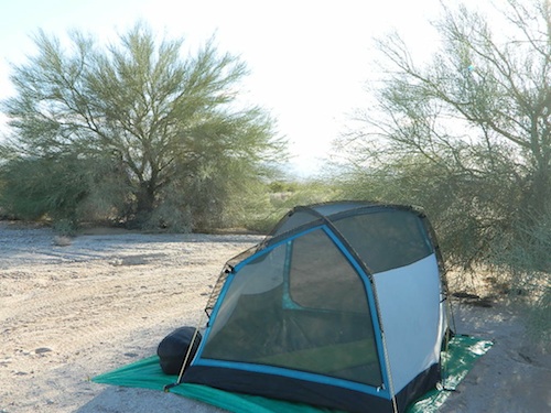
So, you wanna escape the tourist masses… and camp out, overlooking an amazing place?
(put on your hiking boots)
Pt Reyes Lighthouse
Nope, the Lighthouse doesn’t have a campground! There are no camping facilities at Muir Woods National Monument, nor Muir Beach. No camping at Stinson Beach, nor Bolinas.
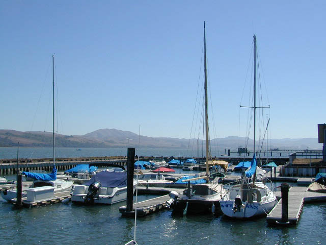
The Tule Elk Reserve has no camping at all. Tomales Bay State Park no longer has car camping or RV camping available; hike-in or boat-in
camping, maybe.
What is available for campground camping on “the Point” is listed below, with phone numbers and links for more info.
Cycling, hiking, backpacking, mountain biking, kayaking and boating are all popular outdoor recreation activities.
Small towns located on the Point Reyes peninsula do have a few private campgrounds, some of which can accommodate motorhomes. Follow towns links for those.
There are no RV parks, camper trailers or motorhomes allowed in campgrounds on the steep coastal region of Point Reyes. Most of the narrow, winding roads are forbidden for motorhome travels. No shoulder, no guard rails, on many curvy roads. Great viewpoints are best when you STOP to look, off the roadway.
Anza Borrego Desert State Park & Borrego Springs Campgrounds
Anza Borrego Desert is the largest of the California State Parks. Borrego Palm Canyon Campground is the official name of this popular palm oasis & developed campground located very close to Borrego Springs CA. Hike or bike to town. There is also a private RV Park named Palm Canyon Resort in town, just to confuse you.
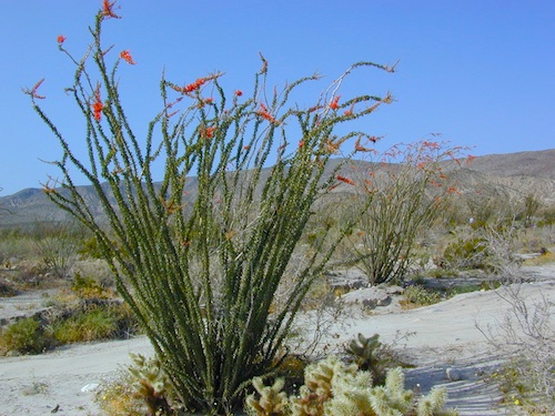
Desert wildflowers blooms, popular hiking & biking trails, plus mud caves & slot canyons draw plenty visitors here, mostly in the winter months. Summer high temps exceed 90 degrees for months at a time.
There are hundreds of miles of dirt roads to explore, and one could easily spend every weekend for a full year, checking out all there is to see in this vast desert, where elevations range from near sea level to 5000′ peaks.
BORREGO PALM CANYON CAMPGROUND
main campground near Visitors Center, in town Borrego Springs, CA
120 camp sites for tents & RVs, flush toilets, overnight / day use fees reservations accepted
TAMARISK GROVE CAMPGROUND
27 camp sites, flush toilets, fee
on S-3 @ Highway 78 jct (closed June – Sept) reservations accepted (Oct-May)
Vern Whitaker Horse Camp
equestrian campground w/ corrals, 10 camp sites, flush toilets
elev, 960′, located N of Borrego Springs, near scenic and rugged Coyote Canyon. reservations accepted
Backcountry Campgrounds Anza
Arroyo Salado
16 miles east of Borrego Springs on County Road S-22
Blair Valley Camping Area
open car camping & RV spots, vault toilets
on SAN DIEGO County Rd S-2 near Highway 78 jct
Bow Willow Campground
elev, 950′, hwy access, 16 camp sites, pit toilets, overnight fee
near Sweeney Pass & badlands overlook; located on S-2, 9 miles N of Interstate 8
Canon Sin Nombre
off S-2 near Sweeney Pass; entrance near Badlands Overlook; slot canyon hikes
Coyote Canyon Camping
N of Borrego Springs via Di Giorgio Road
rugged backcountry dirt road, tent camping only
car camping near ocotillo gardens; 4×4 needed @ creek crossing & Sheep Canyon
Culp Valley Campgound
elev, 3400′, hwy access, 8 camp sites, pit toilets, free camp
located on S-22, atop Montezuma Grade
Culp Valley Boulders
elev, 3700′, dirt road access, primitive camp sites, free
located off S-22, 4×4 near Montezuma Grade
Fish Creek Campground
Hwy 78 near Ocotillo Wells & Split Mountain
elev, 280′, dirt road access, 8 camp sites, pit toilets, free camp
from hwy, go 12 milies south on Split Mountain Road
Yaqui Well
5 mi. south of Borrego Springs on County Road S-3 & right on Yaqui Pass Road, go 6 miles to camping area on right side
Yaqui Pass
5 mi. south of Borrego Springs on County Road S-3 & right on Yaqui Pass Road, go 4 miles to camping area on left side
Culp Valley trails, North Anza Borrego SP, SoCal Deserts
All Desert Campgrounds Nearby
AGUA CALIENTE HOT SPRINGS
(San Diego County Park)
88 camp sites for tents & RVs, flush toilets, overnight / day use fees, 760-765-1188
located on Co. Rd S-2, 22 miles N of Interstate 8 (closed June-Aug)
BOX CANYON RDMecca, CA – in between Joshua Tree NP and Anza Borrego Desert
BLM camping in Box Canyon & Mecca Hills Wilderness Park
LEAPIN LIZARD RV RANCH
(Private Campground Resort)
85 acres, 60 camp sites
located on Split Mountain Road, Ocotillo Wells, CA
OCOTILLO WELLS SVRA
(State Vehicular Recreation Area)
elev. 160′, 4×4 and off road camp sites for trailers & RVs
no water, no hook-ups, pit toilets, no fees, 760-767-5391
located on Highway 78 (closed June-Sept)
PALM CANYON RV RESORT
(Private Campground Resort)
located in town, Borrego Springs, CA
SALTON SEA SRA
(State Recreation Area & Campground)
Mecca Beach, Corvina Beach, Salt Creek Campgrounds
located on Highway 111 on east side of inland sea
SLAB CITY @ SALTON SEA
old Camp Dunlap in California desert badlands
free & open RV camping near Salton Sea
located off Highway 111 on east side of inland sea
TRUCKHAVEN HILLS
(OHV trails & camp spots)
elev. 300′, 4×4 and off road camp sites for car camping, touy hauler trailers & RVs
no water, no hook-ups, no fees,
located on S-22, East of Borrego Springs, CA
VALLECITO PARK
(San Diego County Park)
44 camp sites for tents & RVs, no hook-ups, toilets, overnight / day use fees, 760-765-1188
located on S-2, 22 miles N of Interstate 8 (closed June-Aug)
FREE CAMPING ANZA– Let us also remind you that this is the best place to camp in California for primitive car camping (camping outside of a developed campground). Open all year long – always! Super secluded, darkest skies, free and always located on the back roads. 4×4 is not required in all areas, so there are plenty of options. Blair Valley or Coyote Canyon Gardens are popular camp spots, but there are thousands of hidden canyons and washes in this giant State Park, just awaiting your tent. You’ll need a decent topographic map. For more info on free camping click here.
Giant figures INTAGLIOS, on desert floor, near Blythe, CA
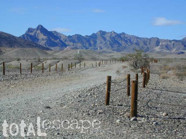
Camping while traveling. The east-west corridors across the California deserts are well traveled routes. If you plan to camp, get to know areas managed by the California Bureau of Land Management.
BLM lands in California are often known as the ‘free camping’ option. No charge camp sites, convenient, in-route locations, many areas along major highways or interstates. Campfire permits are always required for any open fires, BBQs and campfires.
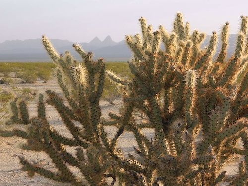
DESERT WILDFLOWERS can be found annually, February – April in most of these areas. Springtime blooms draw the crowds, but few visitors actually camp out overnight.
When searching out premium camp sites – drive slower than 50 mph & look for the brown recreation signs. Since people like to drive fast in the desert, make sure to put your hazard lights or blinkers on, so traffic knows you are slow poking. Typically dirt roads are only marked with small, thin reflectors, maybe numbers or letters, if you’re lucky.
Traffic noise will be minimal if you camp away from the main drag at least ONE mile or more. Motorhomes may not have the luxury to travel that distance; they often prefer to stay in large, level, flat pull outs, right near the pavement.
If daring to venture more than 2 miles from the pavement, be prepared for rough conditions. 4WD drive may be needed in certain spots, or in the wettest of weather. Wind is always a factor in desert regions, so keep that in mind. Deep sandy washes, tow strap anyone? No facilities, no services, no toilet. Spotty cell phone coverage. Basically – the boonies!
BOONDOCKING is the latest phrase for “open, free camping”
SEEKING QUIET CANYONS? stay away from the off-roaders. They usually congregate in dunes and specified OHV areas. Trails and dirt roads are for multi-purpose use, so a variety of recreation can be had. Many people use these public lands, so leave them clean and better than you found it. Boulder coves, palm gardens, primitive hot springs. There are plenty of hidden camp spots within the vast desert region of SoCal.
Several BLM lands are near Wilderness Areas. Camping is allowed close by, mountain biking & hiking are usually abundant. Off roading prohibited within Wilderness boundaries.
URLs within the official BLM site keep changing, which is why we are rebuilding our BLM pages. So you can find what you need, easily.
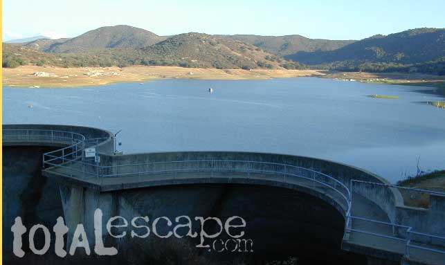
Of course you are. That’s why half the population relocated to California, to endlessly search for summer vacation destinations in alpine bliss and stay overnight next to a secluded mountain lake. You’ll need to leave SoCal to find these beauties, but they are out there if you have the time to travel and spend a week enjoying one. Midweek, the fish are all yours. Check out our huge California Lake List.

 One of the most visited coastlines in the world, San Francisco – where 2 peninsulas almost meet – at the mouth of the “hidden bay”.
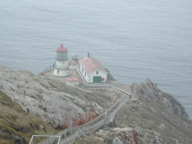
 The Tule Elk Reserve has no camping at all. Tomales Bay State Park no longer has car camping or RV camping available; hike-in or boat-in