Tag Archives: bouldering

Mortero Wash

Anza Borrego Desert State Park / Mortero Wash

San Diego Desert Camping

south anzaxterrayellow

Primitive desert car camping close to SD
fireboulders

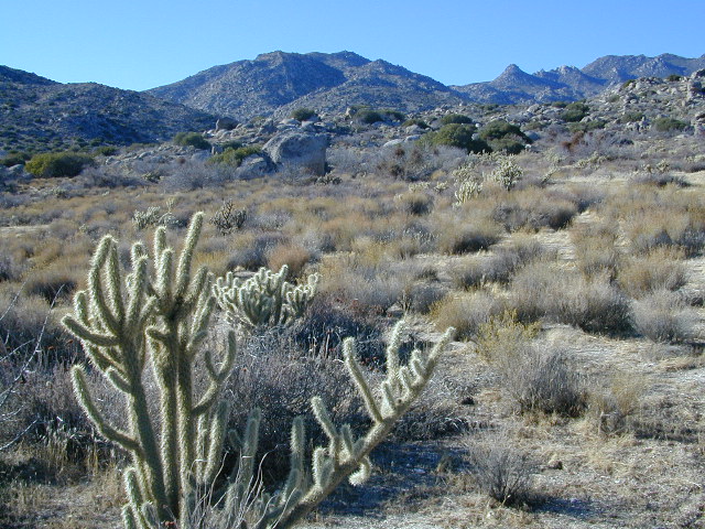
Interstate 8 EAST from SD / exit Ocotillo. SD county road # S2, the south end near the State Park boundary. Gorgeous every season but summer. Great winter camping close to SoCal.

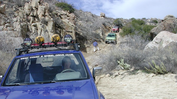
This  dirt road is located in a desert wash area, which starts west – off the paved road S2. The signed white desert wash is a suitable drive for passenger cars (most years). But you best have 4×4 if the rain gets going good. Low riders should watch for the ridge lines – as they are naturally rockier places and could take out an oil pan of a mini SUV (at a high rate of speed).
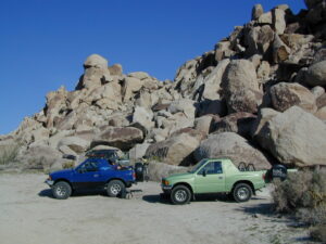
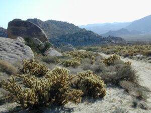
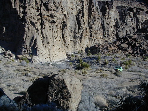
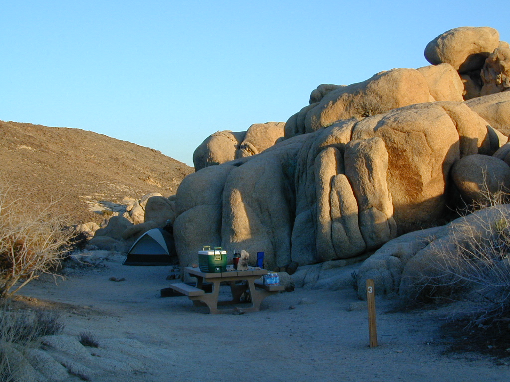
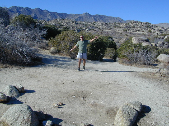
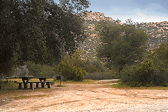
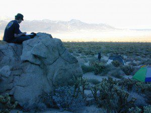
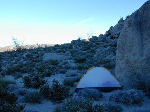
mortero campsThe giant boulders garden at the far end of this route have nice views of the Imperial desert floor. Better from the top of the boulders too; numerous primitive camp sites are tucked into the coves, surrounding the big boulders.

No toilets; no shade; no water; minimal vegetation. At night the stars are heavenly, but you can see city lights from Calexico and Mexicali.

train

GOAT TRESTLE?

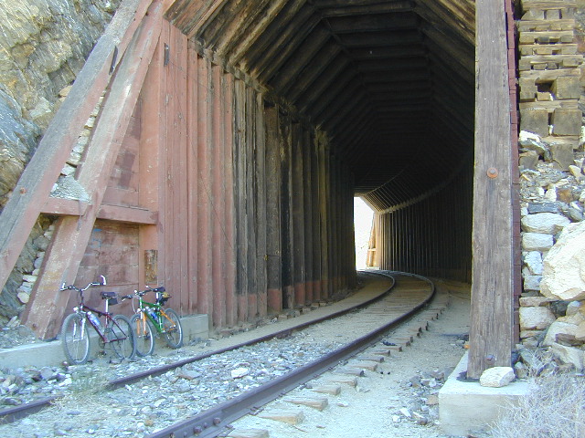
From this area you can hike or mountain bike up to the “old goat trestle” and numerous historic train tunnels @ Carrizo Gorge Goat Trestle (not to be confused w/ the wildflower destination called Carizo Plains in Kern Co). BRING A HARD COPY topographic MAP of this area, if you wish to explore past camp. Moderate hike, an all day adventure. Bring lunch and water!
bike on railroad

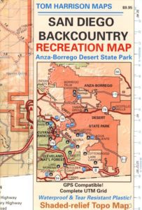
Tom Harrison Anza MAPSAN DIEGO Backcountry Map
this waterproof map has the entire State Park covered with all back roads, trailheads, campgrounds and railroad tracks
artistsview

bouldertents

When you decide to stop the car, look around for the best spot. Park off the road way and preferably in a turn out or camp spot. Turn off the engine, get out of the automobile, stretch your legs, breathe, look, close your eyes – tight and breathe deeply, then open and look around you again. This particular place is special, you can just feel it. Walking around the boulder area, be cautious of snakes.

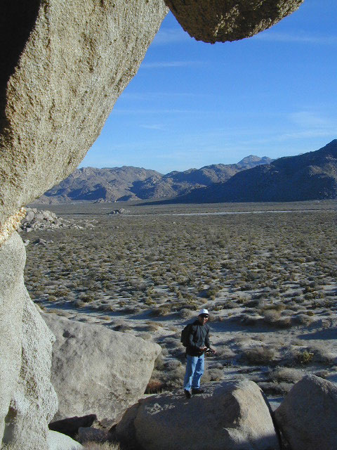
On the boulders – closely examine them, climb on them, get to the top; you will find (Native American) Indian grinding holes called mortars or morteros.
gethigher

great side trip option: Across the paved road (SD County Road S2) on the opposite side of the valley is a nice hike to Sand Dollar Hill. (I’m sure this isn’t the real name). Dirt road leads up to a dirt parking area for hikers. Busy lil place sometimes. These desert dirt hills have wind caves and chunks of sand dollars scattered all over them. The real ocean floor way out here, east in the Anza SD desert… how cool is that?

great side trip option: Canon Sin Nombre is just up the road a piece, N on S2, on the EAST side of the road. Amazing viewpoint turn out, right on the highway, overlooking the impressive topography and badlands. If you have a high clearance SUV or any truck you can drive down into the sandy tight, rocky wash. It meets back up with another main wash way back there.

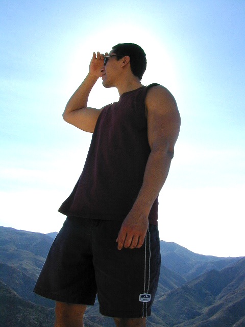
Tons to explore back here. Off roader should think Tread Lightly on this turf and primitive car campers should use a Leave No Trace approach. White sand, deep sand, caves, smoke trees, and the best slot canyon climbing & hiking this side of the Anza Borrego State Park.
desert views

Kelbaker Road

signage

Kelbaker Road, Mojave NP

Kelbaker Road is one of the well-traveled back roads in the Mojave Desert connecting two major Eastern California routes of Interstate system. The I-40 to the south and the I-15 to the north, spanning 50 miles from one to the other.

Kelbaker Rd continues south to T up w/ historic Route 66 near Amboy, CA. Gasoline is very iffy in Amboy, so remember gas up in Barstow.

This region is super scenic portion of Kelbaker Road, which cuts thru the western edge of Mojave National Preserve. The Kelbaker pavement reaches to an elevation of 4024′ at Granite Pass, about 6 miles north of the exit @ interstate 40. Boulder outcroppings, bare mountain peaks, secluded cove camp sites w/ dirt roads, and old mines all over. Joshua tree forest and pinyon pine forest encircle the Mid Hills region.

4x4Some roads are suitable for passenger cars, but many are NOT. Dirt slides, erosion gullies, wash outs and rocks are common on these roads, so drive slow and pay attention. Have a spotter get out and take a look at the road conditions. Have a stroll, in the dark w/ the flashlights.
Or risk bottoming out, getting stuck in a deep rut. RVs should be very cautious. Daylight arrival is usually key for getting a perfect camp site, unless of course, you had it way-pointed on the GPS. Bingo! But the torrential thunderstorms, rearranged the valley since then, so use your brains.

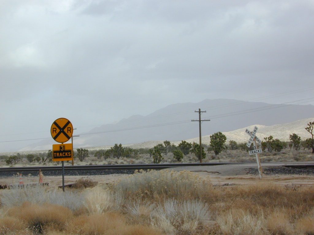
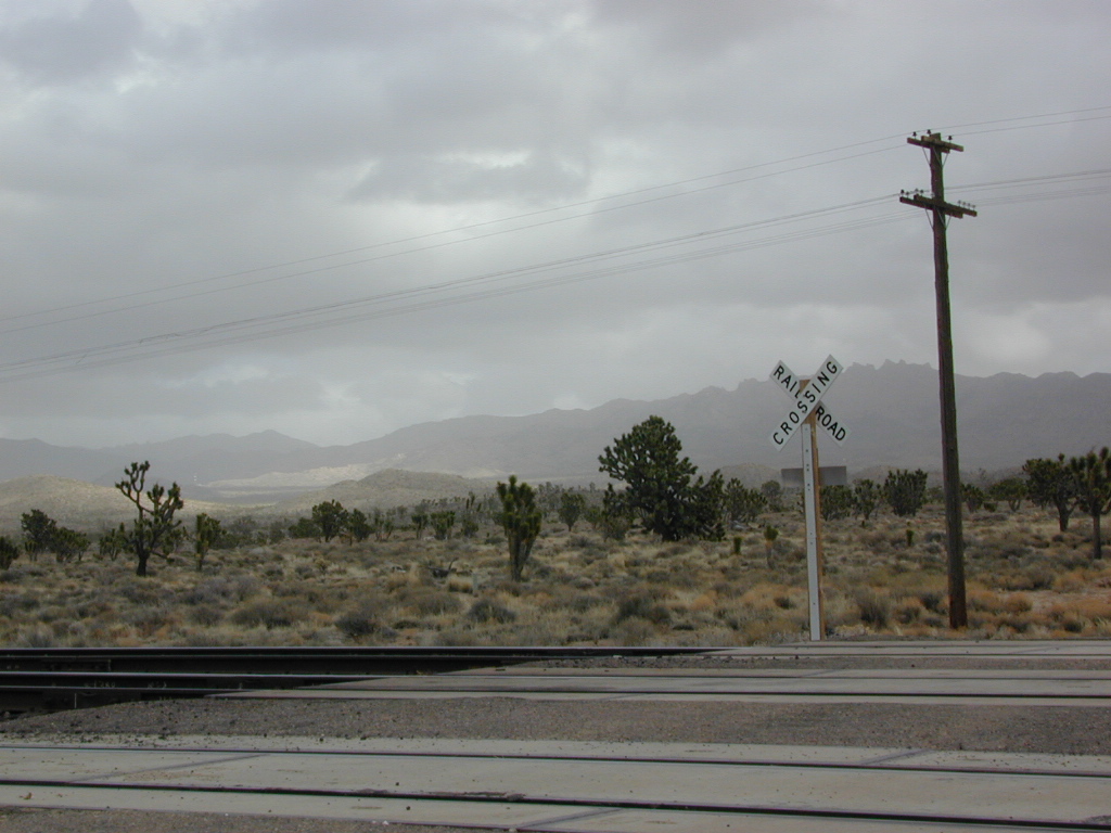
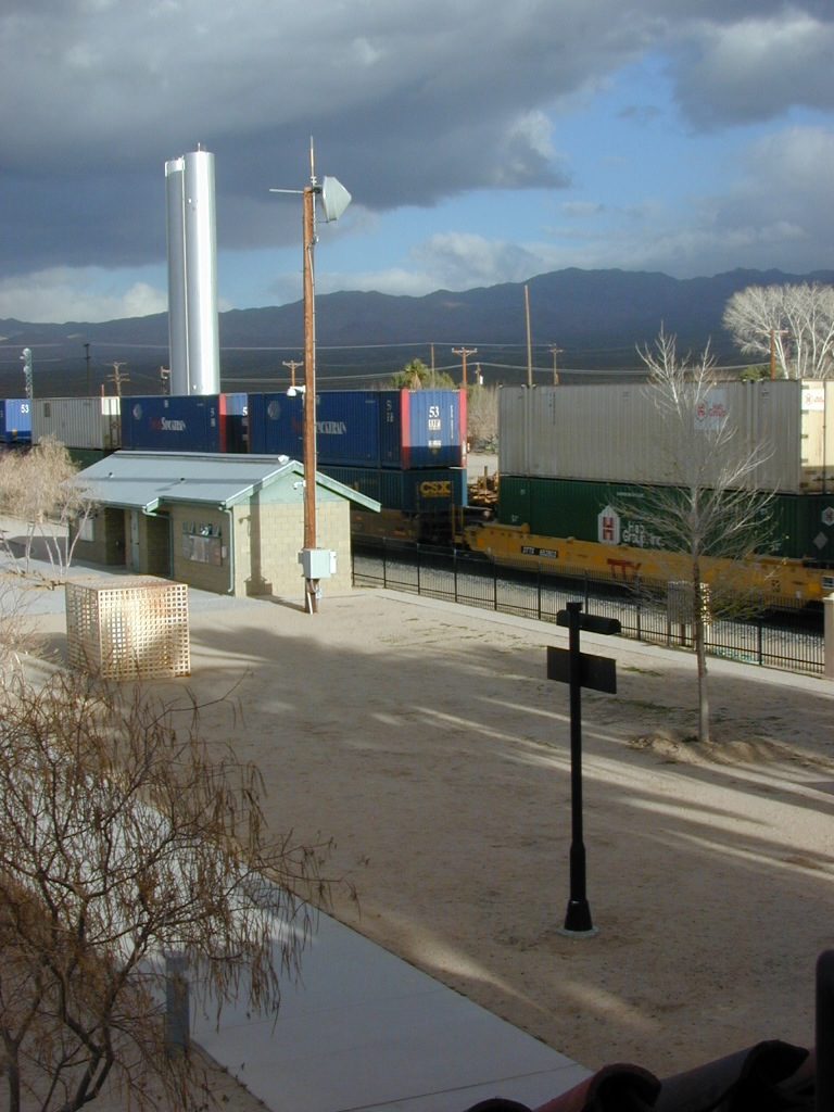
There are private property ranches, active railroad tracks & BLM lands along the Kelbaker route. Some of the boundaries of NPS have been extended, so best to bring a decent topo map.

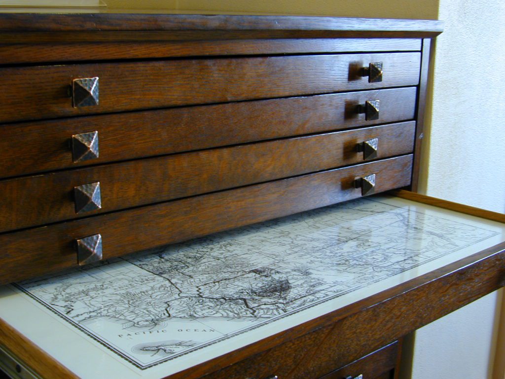
map file case

MOJAVE DESERT
topo maps

Free camping is abundant in this desert region, but it’s all primitive w/ no facilities and all are on dirt roads when your turn off Kelbaker. Some of the best camping areas are around 4000 feet (above sea level), so serious wind and even snow is quite possible in the winter months. Go prepared w/ plenty firewood.

Historic Mojave Trail (aka Mojave Road) is out this way. Dirt bikes, off roaders love this trail that connects the Colorado River @ Avi Casino to Afton Canyon near Barstow.

wildflowerWILDFLOWERS – joshua tree, yucca, barrel cactus
Higher elevation deserts bloom in late Spring, generally March thru May. Perfect rainfall timing in the autumn, can determine wild blooms and flora months later. Providence Mountains SRA can be a good location for wildflower viewing.

depot desert

Kelso, CA

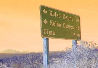
Kelso Depot:  historic spot, centered around the old train depot, which has been restored and has become the new visitors center and museum. Totally worth a 2 hour stop and HIKING/WALKING stretch break. The road heads north from Kelso and the name changes to: Kelbaker-Cima Road

train

Cima, CA

mojave dirt roadsCima Store, 20 miles to the north is one of the few businesses in this region. Post Office next door, maybe. Cima Road connects to I-15 in approximately 15 miles north. Kelbaker Road splits again and it heads up to I-15 @ Baker, CA

See more in this Mojave area —

Kelbaker Rd
Kelbaker Road and Railroad Tracks
Hole in the Rock
Hole in the Rock, Mojave NP
Mojave Scenery
Mojave Mid Hills boulder peaks

The Office

The Renovated Kelso Depot

Kelso Dunes

Kelso Dunes, Mojave NP

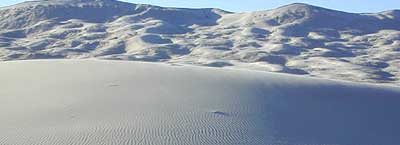
Kelso Sand Dunes are a unique geological feature in the middle of the Mojave desert; Located in triangle of high desert in between Barstow, the Interstate 40 and the Interstate 15.

The (long) main (dirt) road (bumpy) access to these sands dunes – is located off of paved Kelbaker Road, which is just south of the train depot at Kelso, CA

KELSO DUNES


checkKelbaker Road is located right off Interstate 40, at the eastern edge of Mojave National Preserve. From Barstow California take Interstate 40 eastbound to Kelbaker Road exit, turn north & follow the signs  20+ miles to the Kelso Dunes. The dirt road that accesses the sand dunes is a coupla miles of washboard & low rider passenger cars should use caution.
NPS

There is no off road OHV access on these dunes – as this vast desert area of flowing & blowing sand is part of the protected Mojave NP. Nearby, the historic Mojave Road is a dirt 4×4 trail that cuts straight thru the desert 138 rough miles, from the Colorado River to Afton Canyon near Barstow, CA

Kelso Depot, Mojave NP

depot desert

kelso weather

Primitive Camping Mojave Desert

Granite Mountains has secret boulder coves and primitive camp sites. Mountain biking, stargazing and bbikeouldering (rock climbing) are abundant this region. Open camping on nearly any dirt road is an option, but pay attention yo signs as there are a few private ranches in these parts. Free camp spots serve as an excellent overnight stop for hikethose traveling to and from the east — Vegas, NV, Grand Canyon, AZ or Utah.

camp

Campground Camping Mojave Desert

Mojave National Preserve

campgrounds

Afton Canyon Campground BLM


View Larger Map of Kelso Dunes

DanaMite Dunes

WIDE OPEN High DESERT

FREE CAMPING

SAND DUNES

RAIL ROAD

DIRT ROADS

JOSHUA TREES

BOULDERS

desert

nearest towns in the vicinity:

more Mojave links

Hole-in-Rock Lava

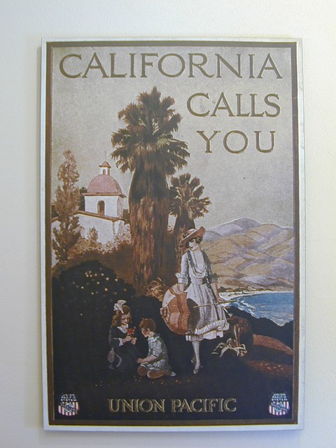
Union Pacific Poster - California Calls You

White Tank Campground

White Tank @ Joshua Tree

quiet camp

Joshua Tree National Park
White Tank Campground

desert hikers and rock climbers
love this small camp

hiker

whitetank

White Tank & Belle campgrounds are the smallest camps Joshua Tree National Park has to offer. On the east side of park both campgrounds are located half a mile from one another.

This Southern California desert lunar-scape National Park is more popular & crowded because of the proximity to major urban areas. The south east side of the park entrance station, Cottonwood, is the least busiest gate.

  • bouldering
  • camping
  • hiking
  • stargazingawesome rocks


From the town of 29 Palms (on Highway 162) take National Park entrance South on Gold Park Rd. At intersection with Loop Rd. (do not turn right) Go straight through onto El Dorado Mine Rd. about two miles drive leads the 2 campgrounds.

camp

Joshua Tree National Park
760-367-5500
760-367-7511

breakfastclub

campground  elev. spots  veg toilet water fee
White Tank  3800′ 15 josh vault none no

joshes

chair4marc
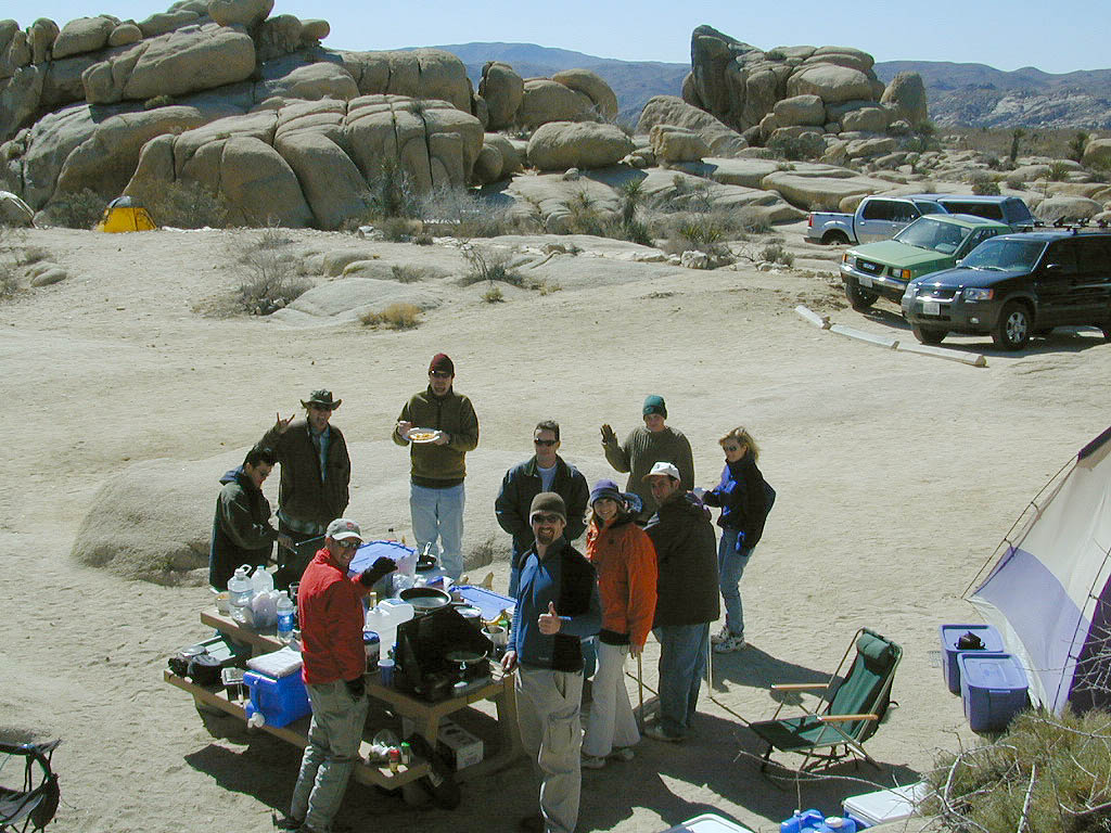
In the years between 2000-2005  founder of Total Escape, DanaMite, lead several guided camping trips to Joshua Tree and liked this specific area the best.

desert

danarocks

Culp Valley

vegculpvalley

Anza Borrego Camping

Culp Valley Campground

Anza Borrego Desert State Park
Southern California, high desert; in between Temecula & Borrego Springs, CA

Culp Valley Primitive Camp Area, Anza Borrego

San Diego Deserts, San Ysidro Mountains
Montezuma Grade
Montezuma Highway, Hwy S-22

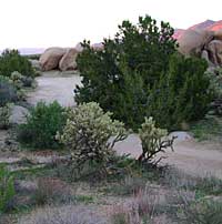
High desert elevations, large boulders, highway w/ primitive campground. No trees, but much vegetation; flat parking, large tent spots, picnic tables, vault toilet. High desert mountain pass, with boulders, canyons and many dirt roads to explore.

• Elevation: 3,350′
• Number of Sites: 10
• Vehicle Accessibility: all
• Campsites Reservation: No
• Camp Fee: No
• Length of Stay: 10 Days
• Season: October – May
• Trailheads: Grapevine Canyon, Pena Springs, Anza Borrego & PCT (Pacific Crest Trail)

culp valley

hike highcountry borrego

Culp Valley Trail, Grapevine Canyon, Montezuma Valley, Pena Springs, San Ysidro Mountains.

  • bouldering
  • camping
  • climbing
  • hiking
  • mountain biking
  • off-roading
  • picnic
  • stargazing
  • wildflowers
  • culptoilet

    2018 Wildfire Walk – Culp Valley
    https://www.parks.ca.gov/Events/Details/9825

    Summit Post for Culp Valley
    https://www.summitpost.org/culp-valley/931432

    culpvalleyOHV
    OHV trails SoCal Deserts

    Indian Flats Campground

    Temecula Camping / Warner Springs Campground

    San Diego Mountains – Cleveland National Forest

    Indian Flats Campground

    Indian Flat Campground is located on the seasonal San Luis Rey River in rural North San Diego County.  From I-15 @ Temecula, CA travel eastbound on Highway 79. Look for the tiny turn off  (on left side) for forest road #9N05, sorta near glider airport located west of Warner Springs. This poorly paved backcountry route (half dirt/mud at times) is also known as both Indian Flats Road or Lost Valley Road.

    Graded dirt road (paved in some portions) travel is approximately 6.5 miles to campground, look for gate and turn off on the left side. When you see the giant boulder near the entrance, you’ll know you’ve made it to the right place.

    Oak trees and a few pines, plenty shade, boulders and mountain scenery, this is a great small campground that is well away from everything in Southern California.  Seasonal creek-sized river and boulder waterfall often dries up in late summer. This means a wet spring is the best time to visit this camp. Hiking, mountain biking trails and hammock spots. Pacific Crest Trail access.

    Cleveland National Forest
    Palomar Ranger District
    760-788-0250

    ClevelandMap_07

    Elevation: 3,600′
    Number of Sites: 17
    Camping Reservations: None
    Sites Available: First come, First serve
    Vehicle Accessibility: Length 15′ max.
    Length of Stay: 14 Days
    Water: No Piped; Seasonal creek nearby
    Toilet: Vault
    Season: Closed for mud & snow during winter months
    Fee: Yes
    Operated By: National Forest Service
    Closest Town: Warner Springs, CA

    Indian Flat
    Indian Flat Campground Entrance

    Rock Climbing Southern California

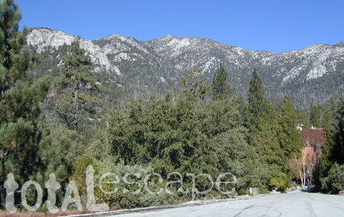
    Idyllwild Camp Granite

    Rock Climbing in SoCal is limited to the awesome southern deserts with boulders, boulders & yep, more boulders. Joshua Tree is well known, but Mojave deserts boulders have much to offer, with less crowds. Meaning you’ll get more on exploring new routes, off the beaten path.

    Bishop in the Eastern Sierra has the Buttermilks, but we wanna cover stuff further south for climbers. Numerous crags and peaks can be found in the mountain regions of San Diego. Many destinations are also great camp spots.

    Good granite is hard to come by & big granite walls are non-existent down south. The most popular piece of Southern California granite among climbers is that of Tahquitz Peak in Idyllwild CA

    Big Bear Lake

  • Bouldering @ various places
  • Idyllwild Rock Climbing

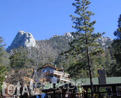
  • Tahquitz Peak in San Jacinto Wilderness: Tahquitz Peak Lookout stands at 8846′ elevation, towering above the pine village of touristy shops & cafes below. It’s a small slice of the Sierra Nevada (fabulous blue granite feeling) in SoCal & the rock climbers love it. Humber Park is at the base of the peak. The park is a family & tourist destination, especially during snow days. Paved parking lot is at the very top of the neighborhood, a well signed route. Follow the brown “Humber Park” signs. Hmmm, now is that ta-keets, ta-quits? Just ask a local – who grew up in Idyllwild.
  • Tahquitz Peak

    San Diego County climbing destinations:

    Army Rock
    Beirut
    Bonita
    Carlsbad Boulders
    Culp Valley
    Descanso Wall
    Dixon Lake
    El Cajon Mountain
    McCain Valley
    Mission Gorge
    Mt Everest
    Mt. Helix
    Mt. Woodson
    Otay Lakes
    Poway Crags
    Rock Mountain
    Santee Boulders
    Stonewall Peak
    Valley of the Moon

    For more on California rock climbing places, check out a few of our favorites resources:

    CA Rock Climbing Instruction

    Rock Climbing Ratings

    Rock Climbing Local Links

    California Rockclimbing.com

    Southern California rock climbing areas:

  • Idyllwild
  • Joshua Tree NP
  • Mojave NP
  • Southern California Maps that may be relevant:

    Tuttle Creek Campground

    Tuttle Way

    There she sits, above Lone Pine California, right next to the High Sierra. Above the Alabama Hills….. at the base of Whitney, on an alluvial fan overlooking the Owens Valley & US Hwy 395.

    Tuttle Creek Campground is perfect stop for RVers traveling the Eastern Sierra, beginner mountain bikers needing to explore & test their skills, or the avid backpackers waiting to acclimate & get a good nights rest in reasonable temperatures, before attempting the tallest Mount Whitney.

    Tuttle Creek is a BLM Campground w/ picnic tables, fire rings or BBQs. Awesome creek camping at the base of Mount Whitney. Hear the water rushing over the boulders; soothing for bedtime or stargazing. The fishing is decent. Wildflowers like indian paintbrush & lupine can be found here in spring and summer, in the high desert sage lands of the Eastern Sierra.

    • Elevation: 5120′
    • Number of Sites: 85
    • Vehicle Accessibility: RVs okay
    • Camp Fee: No
    • Campsites Reservation: No
    • Length of Stay: 14 Days
    • Season: March – October
    • Trailheads: John Muir Wilderness

    From Lone Pine CA, head West 3 miles on Whitney Portal Rd, turn LEFT on Horseshoe Meadow Road, within 2 miles, turn right on a dirt road that leads to the campground.

    Tuttle Creek flows past campground; No drinking water.
    Pit toilets; Some shade.

    BLM Lone Pine
    760-872-4881

    LONE PINE CA

    HINT: On the dirt back roads, on the slopes of the Eastern Sierra, between Lone Pine & Bishop, you can find & fishing holes & primitive camps (free camping) on any numerous of creeks; some you can park so close that you don’t have to leave your vehicle to fish. You may need a high clearance vehicle to reach some.