Tag Archives: California

OC

the OC: SoCal culture – beaches, surf, mountains

Orange County. North of San Diego & south of L.A.

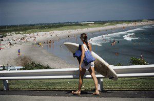
surfergirl

OC hikes

A wonderful resource for Orange County outdoors is
ocparks.com

maps for local weekends, local hikes:

oretga highway 74
oretga highway 74

California County

Outdoor Recreation & Small Town California

All California Counties List

California lakes

Searching for Parks & Recreation for a given California County? Total Escape features back roads destinations, all small towns & everything outdoors. From ghost towns to redwoods, hot springs to museums, recreational lakes to the best secluded beaches. We try to link to local web sites and gov agencies, when those link don’t break.

Seriously, so much time is wasted updating old links to .gov web site pages. Total Escape URLs have stayed the same since 1996. Some small towns barely have a web presence, much less a city web site. Some seasonal resort areas only have a Facebook page for online promotion. Often city web sites will change from a .us,.com to a .net

There are 58 counties inside the golden state California; more than your average state of the union, cuz the land mass is very large, and terrain diverse. City dwellers may be surprised at how many remote communities still exist. Smaller, rural towns are just aching for your tourists dollars, so go explore some place new. Modoc?

County Parks & Campgrounds. plus California Regional Parks can be found on the individual town listings for CA.


California Scenic Drives

California Lakes & Reservoirs

California Parks & Forests ca maps topo

California Small Towns

Los Angeles Back Roads

Angeles Crest Back Roads – Angeles OHV Routes & Trails

Mt. Gleason Road / Santa Clara Divide Rd.

Angeles Crest Hwy.2 , North 9 mi. Left onto Angeles Forest Hwy.N3, drive 12 mi. to intersection of Santa Clara Divide Rd.

  • Turn left on paved road to Mt. Gleason. Many dirt roads will eventually branch off on the right side. A forest service map is advised for dirt road exploration.
  • LOOP -Turn right & go up the mountain past Mt. Pacifico & beyond (eventually hooks back up with Hwy.2 near Chilao area.(Check with ranger if your planning on doing this loop to make sure all gates are open)

Angeles Forest provides over 300 miles of designated OHV roads/routes. When off-roading, all vehicles must meet DMV standards for mufflers & registration. Off-highway smaller vehicles must be equipped with approved spark arresters & have valid green stickers. State law requires that ALL ATV riders wear a helmet.

  • Rowher Flats OHV Area – Santa Clara/Mojave Ranger Dist
  • Littlerock OHV Area – Santa Clara/Mojave Ranger Dist
  • San Gabriel OHV Area – San Gabriel Ranger District

California Trail Ettiquette –

CLOSURES: Occasionally areas may be closed due to emergency situations, for resource protection, or during specific seasons when disturbances may drive animals from important habitat. These closures are usually temporary, and your patience and cooperation is appreciated.

RESPECT THE LAND DUDE

  • Stream banks & lake shores are especially sensitive areas; VERY susceptible to damage. These waterway & creeks in California, are sources of food and shelter to wildlife.
  • Cross streams at a 90° angle at a slow speed and – DickHead, do not travel up & down stream channels. These are precious areas.

LEAVE A GOOD IMPRESSION: Around developed sites, give other folks the space and quiet you would appreciate. Space out the RVs if possible. It’s not an RV park kinda deal. By law OHV traffic are permitted to exit & enter campgrounds, but not to PLAY within a campground. No one likes dusty salsa. If your muffler is not quiet (you’re an ass!), push your machine in the campground, with the engine shut off.

STAY ON THE TRAIL: Cutting switchbacks, taking shortcuts or hillside climbing may be a big thrill & challenge, but once vehicle scars the earth, other vehicles follow. The mob mentality maybe, Macho shit. The deep muddy ruts do long-lasting damage to vegetation, plus it doe not help w/ erosion. Rains cause further damage by washing deep gullies in tire ruts. Vegetation & wildlife habitat is lost. Ugly, permanent, unsightly scars on the earth result. Staying on trails helps protect the land. And helps keep trails open!!

Become a Adopt-a-Trail Volunteer – contact your local NFS
Outdoor Volunteering in California!

Angeles Forest – LA Back Roads

nearby towns –

Angeles Maps – hiking, OHV & mountain biking –

San Diego Trails

San Diego Hiking – San Diego County Trails

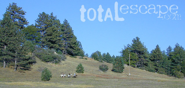
horse hiking

Cedar Creek Falls
3 mi RT / moderate; off Hwy 78

From Santa Ysabel on Hwy. 78, drive E 6 mi, turn right on Pine Hills Rd.
1.50 mi., bear right on Eagle Peak Rd.
1.25 bear right again (signs point to Eagle Peak Ranch)
Drive 8 mi. (dirt & paved) to Saddleback, 4 way junction.
Park & hike the fire road downhill for 1.25 mi.
At the fork, bear left & continue into the Cedar Creek bed
Some rock scrambling down to the swimming hole

Hot Springs Mountain
5.5 miles RT/ strenuous (elevation gain/loss =1,250 feet)
Near Warner Springs, 10 miles northeast of Lake Henshaw; Off Highway 79

From Temecula Interstate 15, take Highway 79 East to Warner Springs
Drive up Los Coyotes’ Indian Reservations main road, past the intersection of Middle Fork Borrego Palm Canyon (6.1 miles past the entrance gate )
Turn left (west) and drive up the valley on a sandy road to reach a saddle above the valley 2.2 mi. farther
At Nelson’s Camp, on the left side of the road, Park at the camp
Begin hiking southwest up along a small tributary stream that flows north & west into Agua Caliente Creek.
Follow an old Jeep trail up, gaining more than 500 feet in just over a mile.
At the top, you’ll meet a better road that runs up the south slope to Hot Springs Mountain
Turn left (west) on this road and climb another 1.6 miles along the ridge line to the tower.
Pass through dense forests of black oak, Coulter pine and white fir, and across meadows dotted in late spring with wildflowers.
Lookout tower, dilapidated and seemingly on its last leg, sits on the west shoulder of the mountain.
Go a bit higher on the ridge by following a faint trail through thick brush and around boulders to the true summit. A flat concrete platform caps the summit block.
option – Seven-mile dirt road going up the mountain’s southern slope (drive, hike or mountain bike)

Maps Mountains / San Diego Maps

see also – San Diego Anza Borrego 4×4

Split Mountain Anza Borrego

Anza Borrego Desert State Park

Fish Creek Campground

E of Borrego Springs CA.

Well off Highway 78, past the busy OHV area, quads at Ocotillo Wells, past all the rural homes & the redneck bar, past the Elephant Trees hike – where the road goes from pavement to graded dirt to a wild desert wash, in a few short miles. If you don’t know where you are, then you’re almost there.

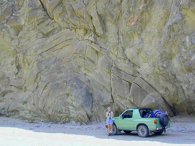
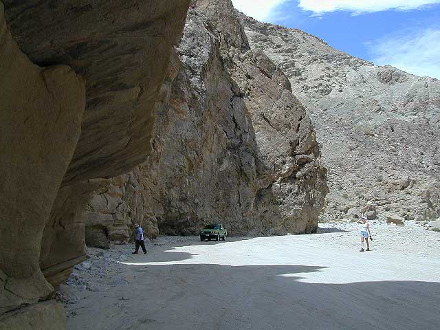
This is a large wild desert wash with huge unstable walls, several areas for wind caves and a few historic markers. Lots of 4×4 trails beyonf Split Mountain, to the south. No real water in sight, except maybe the puddle you are standing in as it starts to poor. The soft sand can give way to a few heavy rain drops. May not be a great area to be during a serious storm or flash flood possibility, unless you want to get buried alive. Check the weather forecast in advance.

A ratty, small developed campground of Fish Creek is on the left side, upon the ledge. Fish Creek Campground is picnic tables & a pit toilet – at most. Ya may as well camp out in the open, off road, like the pioneers did. You can do that out here in Anza Borrego. (Just keep it clean & carry a metal fire container.)
split mountain

Split Mountain, Anza Borrego Desert State Park

This portion of the “mountain” is less than a mile from Fish Creek Campground. Fossils can be found in these walls. Shade is good in summer months, when day temps reach 100+. The rest of the year is ideal weather. This mountain split from water, erosion, mega force. High walls, wind caves, desert washes, great primitive camping & 4×4 routes.

This desert scenic drive will require you to get that SUV dusty. 4 wheel drive not required. No RVs past the campground. All low lying passenger cars are warned, there are uneven areas, soft sand & boulders.

Duh, do not attempt this one when desert flash floods are possible.

ANZA BORREGO STATE PARK

ANZA BORREGO MAP

SAN DIEGO BACKCOUNTRY MAP

nearby towns –

  • BORREGO SPRINGS CA
  • OCOTILLO WELLS CA
  • SALTON SEA CA

    splitmountain

    Great desert back road exploring out here. A zillions washes & canyons.
  • Eastern Sierra Mountains

    Eastern Sierra Mountains / Eastern Sierras California

    mount tom

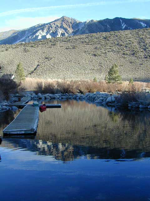
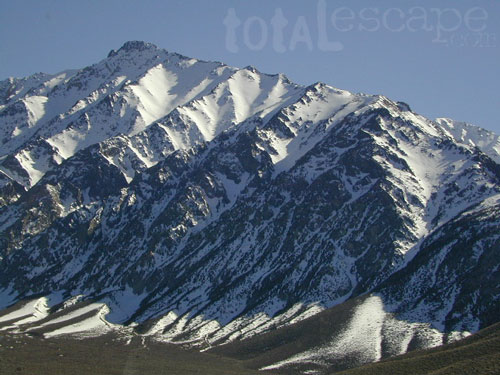
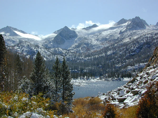
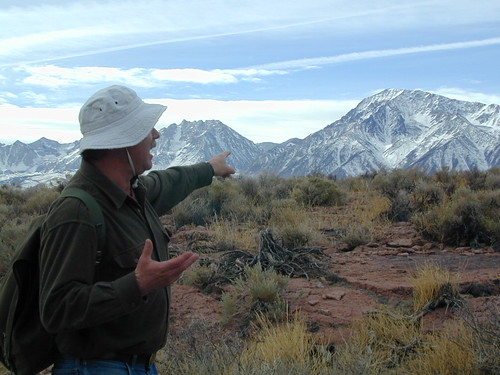
    Wilderness seeker John Muir called the Eastern Sierra, the range of light. It’s desery & drastic. Tons of granite & wild-ness. The impressive, tallest peak in the lower 48, Mount Whitney towers at elevation 14888′ over the Owens River Valley. Death Valley meets mountains. Ancient volcanoes & fresh granite. Creeks are alive throughout summer. Alpine lake hikes & their wild flowers are incredible. Horseback trails, rentals, pack trips are very popular. Total Escape even list high country Inyo 4×4 routes, that overlook Bishop.

    Eastern Sierra forest & parks –
    Inyo National Forest
    Toiyabe National Forest – north (Carson)
    Toiyabe National Forest – south (Bridgeport)

    Ancient Bristlecone Pine Forest

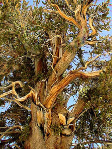
    Ancient Bristlecones

    inyo maps

    Eastern Sierra maps & trails –

    Eastern Sierra towns –
    Aspendell, Big Pine, Bishop, Crowley Lake, June Lake, Lee Vining, Lone Pine, Mammoth, Olancha, Toms Place

    south lake bishop

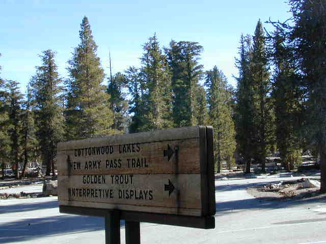
    cottonwood lakes

    Baja RV Parks

    Baja California RV Parks

    RV Camping Baja / RV Park Baja

    baja camping RV

    RV Camping in Baja California Mexico can be quite a challenge, especially if you do not know where you are going. Best bet is to get a good road map, and choose your destination wisely. Travel times are much longer in route in Baja than on modern US freeways, so plan accordingly. Below are some popular Baja destinations for camping, outdoor recreation, sightseeing cities, beaches & villages.

    Fish Slough

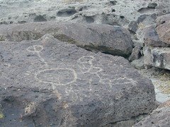
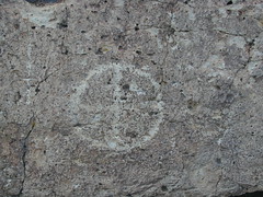
    On the north end of Bishop CA, running parallel to & on the west side of Hwy 6, is a long dirt road called Fish Slough Rd. Indian petroglyphs can be found out here & also on the ridges along Chalk Bluff Rd (to the south). The entire region is called a volcanic tableland & hot springs are very common in this region. The Owens River Gorge & Lake Crowley are to the west. High clearance vehicles are recommended for traveling these back roads, but 4×4 is rarely needed.

    Read & see more on Fish Slough Petroglyphs

    BISHOP CA

    LAKE CROWLEY

    BENTON HOT SPRINGS

    Visit Hwy 395 Hot Springs

    Indian Art Eastern Sierra

    Fish Slough

    Dave Explains