Tag Archives: Campground

Culp Valley

vegculpvalley

Anza Borrego Camping

Culp Valley Campground

Anza Borrego Desert State Park
Southern California, high desert; in between Temecula & Borrego Springs, CA

Culp Valley Primitive Camp Area, Anza Borrego

San Diego Deserts, San Ysidro Mountains
Montezuma Grade
Montezuma Highway, Hwy S-22

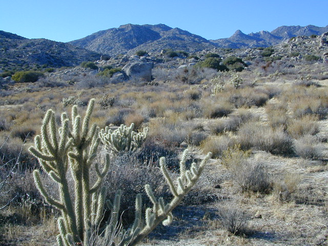
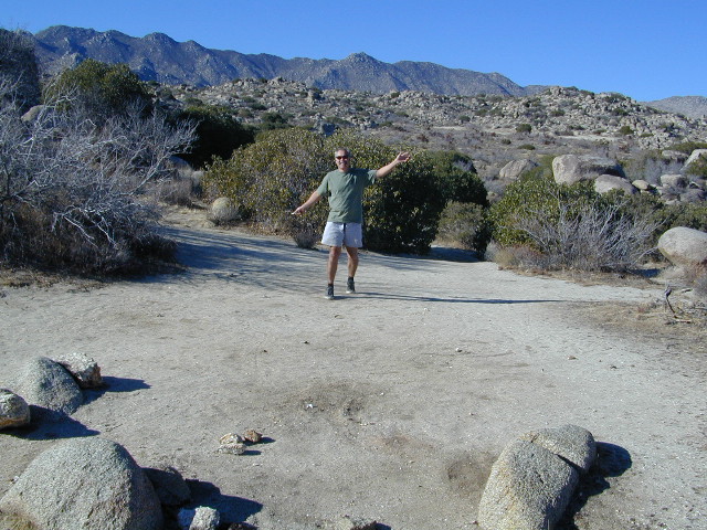
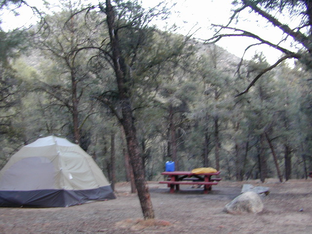
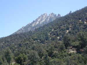
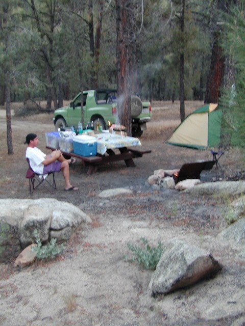
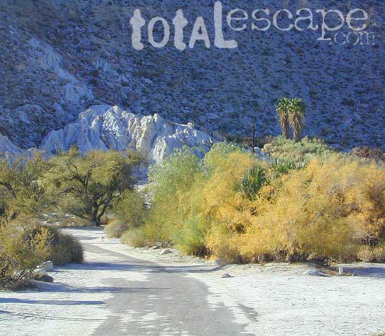
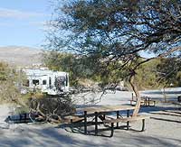
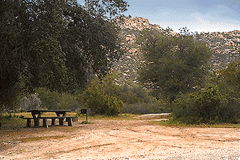
High desert elevations, large boulders, highway w/ primitive campground. No trees, but much vegetation; flat parking, large tent spots, picnic tables, vault toilet. High desert mountain pass, with boulders, canyons and many dirt roads to explore.

• Elevation: 3,350′
• Number of Sites: 10
• Vehicle Accessibility: all
• Campsites Reservation: No
• Camp Fee: No
• Length of Stay: 10 Days
• Season: October – May
• Trailheads: Grapevine Canyon, Pena Springs, Anza Borrego & PCT (Pacific Crest Trail)

culp valley

hike highcountry borrego

Culp Valley Trail, Grapevine Canyon, Montezuma Valley, Pena Springs, San Ysidro Mountains.

  • bouldering
  • camping
  • climbing
  • hiking
  • mountain biking
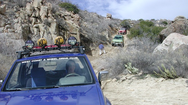
  • off-roading
  • picnic
  • stargazing
  • wildflowers
  • culptoilet

    2018 Wildfire Walk – Culp Valley
    https://www.parks.ca.gov/Events/Details/9825

    Summit Post for Culp Valley
    https://www.summitpost.org/culp-valley/931432

    culpvalleyOHV
    OHV trails SoCal Deserts

    Klamath Lakes

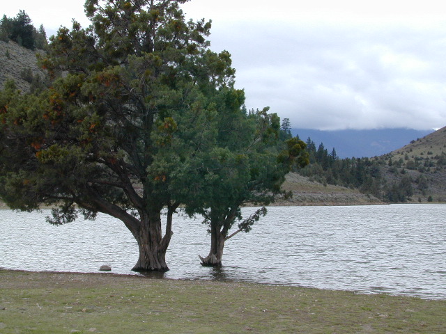
    high water shastina

    Northern California is the top third of the golden state, the area north of the San Francisco Bay Area and north of the Napa wine country. North of the Sierra Nevada mountains, North of Lake Tahoe. The waters we focus on here are in and around Klamath National Forest

    fishLakes, rivers, creeks, waterfalls, waterfowl, fishing and fresh water are all plentiful in the Klamath region. Mount Shasta and the Klamath mountain range make up a portion of the Cascade range, that continue north to the Pacific Northwest. Klamath Falls and Klamath River originate up in Oregon, but the list below features the California regional lakes.

    Lakes near Klamath California

    Copco Lake
    Iron Gate Reservoir
    Indian Tom Lake
    Sheepy Lake
    Lower Klamath Lake Refuge
    Tule Lake
    Clear Lake Reservoir
    Red Rock LakeklamathNF_final
    Juanita Lake Campground

    Bass Lake (Montague, CA)
    Trout Lake (Montague, CA)
    Steamboat Lake (Montague, CA)
    Cedar Lake (Montague, CA)

    Lake Shastina
    Crater Lake National Park, Oregon
    Kangaroo Lake Campground
    Siskiyou Lake
    Castle Lake
    Medicine Lake Glass Flow Geologic Area
    Meiss Lake
    Orr Lake Campground

    canoe   camp  hiker

    NFSlogo

    NorCal Recreation Maps:

    Klamath National Forest Map

    Klamath Forest Top Atlas

    Lost Coast Map

    Six Rivers National Forest Map


    Klamath National Wild & Scenic River Access & Camp Sites

    The dam projects of the Klamath River have always been a controversial subject for many local activists. The Klamath River Keeper web site currently warns us –

    Chimney Creek Campground

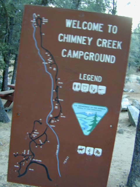
    campmap

    Chimney Creek Campground
    BLM Kern / Mojave

    High mountain desert camp is mislabeled on some maps as “Chimney Peak Campground” or “Chimney Rock Campground”. Pinyon pine forest on Chimney Creek, near hiking trailheads, wildflowers and Chimney Peak Wilderness. Southern Sierra ridge near Mojave Desert and California SR 178.

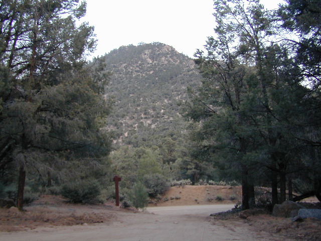
    peakpinyons

    Canebrake Road is a graded dirt road that makes up part of Chimney Peak Back Country Byway. This rural route is a major graded dirt road located north of Highway 178 – which connects Canebrake to Long Valley up near Kennedy Meadows. Pacific Crest Trail passes next to this campground in the Southern Sierra mountains. The campground turn off is way east of Lake Isabella Hwy 178 is (near Walker Pass & PCT) and follow dirt road north to Kennedy Meadows in the far eastern reaches of Sequoia National Forest

    Chimney Peak BLM
    • Elevation: 5,700′
    • Number of Sites: 32
    • Camping Reservations: No
    • Sites Available: First come, First serve
    • Vehicle Accessibility: RV limit 28′ max
    • Length of Stay: 14 Days
    • Water: Piped (April – Sept)
    • Toilet: Vault
    • Season: Open all year
    • Fee: No
    • Operated By: BLM
    • Closest Town: Lake Isabella, CA

    Bureau of Land Management
    BLM Bakersfield Ranger Station
    661-391-6000

    Lamont Peak
    Lamont Peak – elev 7510′

    nearby destinations –
    Camp Kern Backroads

    Chimney Peak Wilderness
    Lamont Peak
    Long Valley Campground
    Dome Land Wilderness
    Owens Peak Wilderness
    Jawbone Canyon
    Sequoia National Forest
    Sacatar Trail Wilderness
    Kiavah Wilderness
    Kennedy Meadows
    Lake Isabella
    Kern River
    Monache Meadows


    View Chimney Creek Campground in a larger map

    Sierra Nevada Lakes

    Crystal Clear Faucherie

    California Sierra Lakes
    Sierra Lake Destinations
    Sierra Lake Campgrounds

    One of the best physical features about California is the amount of lakes and reservoirs it holds – in the mountains, foothills and the canyons, throughout the state.

    recreational lakes – Huge, dammed reservoirs to the secluded, alpine lakes in the high country and all the variations in between.

    bowman

    There are literally thousands of lakes located within the Sierra Nevada mountains and it would be ridiculous to try to list them all here. Many of them can only be reached by hiking into Wilderness.

    Most California lakes are popular and well known recreation spots, but others are secluded – if you drive far and long enough back on the dirt road. Some do not allow motorized boats and most do allow fishing and swimming. Some have campsites on the waters edge, while other camps are up on a hill over looking the lake.

    Below listed are some Sierra lakes that allow camping on the lakeshore or nearby. Most campgrounds are suitable for RVs, tent camping, and some may require 4 wheel drive to reach them. bass lake

    huntington lake

    Total Escape has several hundred more lakes & obscure camps listed under Almanor, Lakes Basin, Secluded Lakes, Yosemite Lakes, Tahoe & the Eastern Sierra Lakes page.

    Or just check the tag for Lakes & Reservoir

    sierra lakes

    Faucherie Lake

    Faucherie Kayak Camp

    Faucherie Lake California

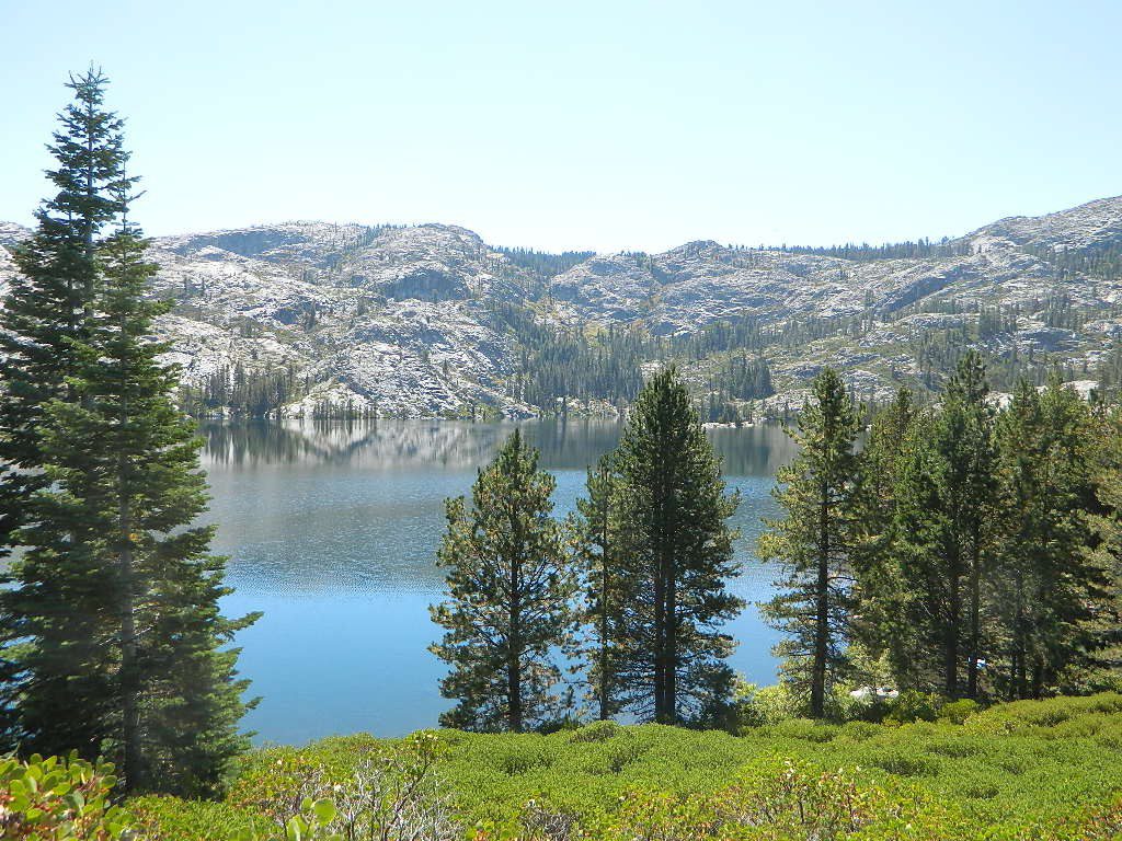
    Lake Faucherie is set in spectacular scenery of granite mountains, with peaks and waterfalls all around. Many believe that you could only reach this kinda high elevation beauty by foot, with a backpack, but here it is – accessible by a very long, rough & rocky backroad.

    No motorhomes, no camper trailers, no motorboats, no engine noises on the lake, no big families. Just well-deserved solitude, finally. Peace and quiet!

    Perfect alpine lake for car-top boaters – those who carry their boats on top of a vehicle. But be warned very few ‘passenger cars’ make it back this far, due to the challenging roads.

    BACKPACKING, CAMPING, CANOEING, FISHING, FLOATING, HIKING, KAYAKING, OFF-ROADING, SOAKING, STARGAZING, SWIMMING

    No motorized boats or watercraft allowed. One public boat ramp; gravel parking area, vault toilets, gated entry for group campground. No more driving across dam (it is now gated).

    NFS NFS NFS kayak camp hiking mountains NFS backroads snowmelt stars

    Faucherie Lake Road – a spur road, off of the ‘843 Road’ leads up to both Sawmill & Faucherie Lakes, as well as the Canyon Creek Campground.

    This primitive road forks off at Jackson Creek Campground, Tahoe NF, way, way back behind Bowman Lake. The rugged route is also known as Nevada County Rd #843-037. Conflicting numbers appear on USDA web site for this route, so don’t get confused.

    The brown Forest Service signage is decent at Jackson Creek Campground – so if you get that far, you’re almost there. Sorta. Did I mention how crazy the road is? Any wet weather or snow will make this route “4×4 required”. This place is closed off about half the year, due to deep snow (NOV-MAY). Although on summer weekends, this area is busy for a remote high Sierra lakes region.

    To reach this rugged Canyon Creek takes hours of driving with a good backcountry map and a reliable, high clearance rig. AWD Subies and mini SUVs beware, you’ll need a spotter on the bad sections of this road (or risk serious oil pan damage). Or perhaps maybe, we “shouldn’t be back on these kinda roads in that ‘lil sportwagon’ missy.”

    See more details on driving directions for Canyon Creek Campground.
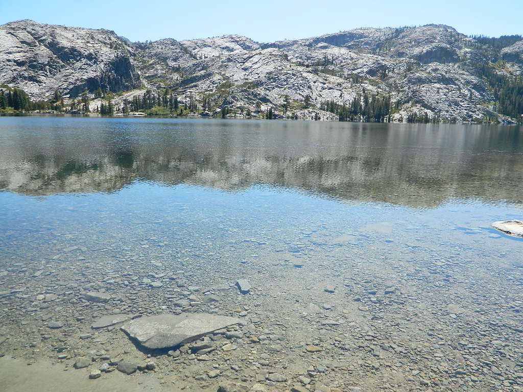
    Crystal Clear Faucherie

    Faucherie Lake Group Campground
    (25 people maximum per site)

    • Elevation: 6135′
    • Number of Sites: 2
    • Vehicle Access: High Clearance Vehicle, no trailers
    • Campsites Reservation: Yes
    • Camp Fee: Yes
    • Season: June – October
    • Trailheads: Faucherie Lake Falls, Five Lakes Basin, French Lake, Haystack Mountain

    camp
    Faucherie Group Camping

    Campground Reservations:
    Nevada Irrigation District
    530-265-5302
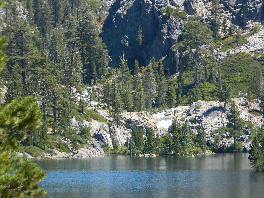
    incoming flow

    Faucherie Falls – Six waterfalls above lake:
    Upper Faucherie Lake Falls #1: 39.4257 N, 120.5616 W
    Upper Faucherie Lake Falls #2: 39.4257 N, 120.5606 W
    Upper Faucherie Lake Falls #3: 39.4262 N, 120.5568 W
    Upper Faucherie Lake Falls #4: 39.4268 N, 120.5550 W
    Upper Faucherie Lake Falls #5: 39.4270 N, 120.5544 W
    Upper Faucherie Lake Falls #6: 39.4272 N, 120.5538 W
    USGS Topo: English Mountain
    Granite Faucherie

    Trinity Alps Camping

    Trinity Alps Wilderness Campgrounds

    Northern California Camping
    Shasta Trinity National Forest

    Trinity Alps Wilderness

    camp


    • backpacking
    • camping
    • fishing spots
    • floating
    • hiking
    • hunting
    • kayaking
    • mountain biking
    • off-roading
    • soaking
    • swimming holes
    • tubing
    • stargazing

    trinitydetail

    campgrounds near Trinity trailheads –

    camping Highway 3
    (California State Route 3):

    • Horse Flat Campground, near Eagle Creek trailhead
    • Eagle Creek Campground @ Hwy, near Stoddard Lake & Eagle Creek trailhead
    • Goldfield Campground, near Boulder Creek trailhead
    • Big Flat Campground (via Coffee Creek Road #104)
    • Preacher Meadow Campground @ Hwy, near Swift Creek trailhead

    camping Highway 299
    (California State Route 299):

    • Ripstein Campground, near Canyon Creek trailhead
    • Hobo Gulch Campground, on Road #34N07
    • Hayden Flat Campground, near Big French Creek & Green Mountain
    • Denny Campground, near Jim Jam Ridge, East Fork & New River; Way out west
    • Groves Prairie Campground, near Grizzly Camp trailheadtrinityalps_lg
    • Happy Camp Campground, near Grizzly Camp trailhead

    camping Highway 96
    (California State Route 96):

    • Tish Tang Campground, near Tish Tang trailhead
    • Box Campground, near Red Cap Lake, Bear Hole & Mill Creek Lake
    • Klamath Riverside Campground @ Hwy, near Salmon Summit

    camping Salmon River (Cecilville Road #1C02):

    trinitysign
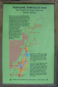
    Trinity Scenic Byway (CA SR 3)

    NorCal Topographic Maps – Trinity Map

    Shasta Trinity National Forest Map

    Pacific Crest Trail Map #6 (Shasta Cascades)

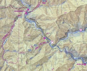
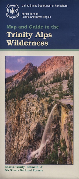
    Trinity Alps Wilderness Map

    outdoor destinations also nearby –


    View Larger Map

    Castle Crags Wilderness

    NorCal Hiking
    Castle Crags State Park
    CastleCrags Wilderness

    12,232 acres
    Northern California Mountains
    South of Dunsmuir, CA
    Interstate 5
    exit #724 – Castella

    backpacking, camping, creek fishing, hiking, mountaineering, lakes, rock climbing, snowshoeing, swimming, waterfalls

    About an hour north of Redding, you can see those impressive peaks off to the left above the lush forest. Way up off the west side of I-5, lies a hiking paradise of scenic lakes, waterfalls and wildflowers. Opposite the freeway from Mount Shasta; Just south of Lake Siskiyou.castle crags

    Castle Crags Wilderness neighbors the Castle Crags State Park, which is surrounded by Shasta-Trinity National Forest. This area is named for 6,000′ tall glacier-polished peaks and pointed crags. Due to their relatively low elevation, year-round recreation, hiking, backpacking, and rock climbing are popular spring through fall. Snowshoeing near Castle Lake is excellent.

    Castle Crags State Park
    530-235-2684

    Castle Crags State Park Campground
    76 developed campsites
    6 environmental campsites

    Max Camper Length: 27′
    Max Trailer Length: 21′

    28 miles of hiking trails (2.7 mi access trail to Castle Crags Wilderness)
    The Pacific Crest Trail also passes through the park.
    Dogs not allowed on park trails.

    Shasta-Trinity National Forest
    Mount Shasta Ranger District
    204 West Alma
    Mt. Shasta, CA 96067
    530-926-4511

    Climbing at the Crags:
    the Cosmic Wall & beyond

    regional history: The northwest area contains the largest glacial cirque, Castle Lake, which is near where the Modoc War’s 1855 Battle of Castle Crags took place. Now a historical landmark, the battle was fought on a ridge saddle between the lake and what is known as Battle Rock. The Wintu tribe inhabited the area, they called the crags the Abode of the Devil and the Spanish explorers called it Castle del Diablo (Castle of the Devil.) read more on wiki

    nearby towns –


    View Larger Map

    Agua Caliente Hot Springs

    Agua Caliente Springs

    Agua Caliente County Park
    Agua Caliente Anza Borrego Desert
    Agua Caliente Hot Springs

    East San Diego County
    N of Ocotillo, CA

    Anza Borrego Desert MapAgua Caliente Hot Springs County Park is a remote 910-acre San Diego County Park next to the Anza Borrego Desert. A developed hot springs, picnic area & a large campground. This desert destination is perfect for California winter recreation, offering a small air strip for small plane pilots.

    Located North of Interstate 8 on San Diego Road S-2 on the south end of Anza-Borrego Desert State Park. Local mountain’s seismic forces created the fault that runs beneath this region & forces water up to tRV campground Anzahe desert surface. A decent water supply also supports plant life & wildlife.
    For minimal crowds AVOID THIS PLACE on holiday weekends or peak winter months. Spring & Autumn are excellent times to visit here, but watch the weather forecast for any heat waves. Who wants to soak when it’s 100 degrees outside?

    2 natural hot mineral pools:

    • large outdoor pool is kept at natural 96 degrees
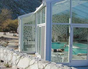
    • glass walled indoor pool is heated & has bubbling jets
    • spring-fed, warm showers are available
    • hiking trails, horseshoe & shuffleboard

    Indoor Pool

    Agua Caliente Campground

    140 campsites – tent sites & RV hookups w/ dump station. Shady trees only at some camp sites. Indoor pool, outdoor pools, maybe a hike-in primitive tub too. Individual campsites may be reserved up to 12 weeks in advance 858-565-3600

  • Anza Borrego Desert Map
  • San Diego Backcountry Map

  • View Larger Map

    Anza Borrego Hot Springs
    Several nice camp spots line this canyon on the north side.

    Mineral King Camping

    DSCN0019

    Mineral King is a magnificent canyon in the southern portion of Sequoia National Park, east of  Visalia, CA. So magical indeed that Disney tried to purchase the rugged scenic lands for a wilderness ski theme park in 1960. Thankfully that project never happened, due to strong opposition from preservationists. Mineral King became part of Sequoia National Park in 1978.

    Mineral King is the Great Western Divide, where high peaks separate the foothills from the taller Eastern Sierra range. Upper Kern River Canyon lies beneath as the main south drainage from the very tallest peak, Mount Whitney @ 14,494′

    sierra topo maps

    Mineral King Road is a paved off shoot from Highway 198, just to the east of the town of  Three Rivers, CA. The road is steep and curvy and 25 miles long. No gasoline at all. No RV motorhomes or trailers are permitted to travel this scenic and amazing back road. Certain portions of the road are dirt and usually graded, but most of the route is paved.  Snow closes the road in winter months – NOV-MAY.

    We usually get less than a half year to enjoy this special place, so make plans in advance to fit this destination into your schedule JUNE-JULY-AUG-SEPT.

    And do not even think of trying to cram spectacular Mineral King into an already packed Sequoia Park weekend trip. The Giant tree Sequoia groves, Hume Lake and Kings Canyon are over an hour north (hwy 198), to other side of the park.

    If you have a full week to hang out in the Sequoia National Park area, then obviously Crystal Cave and Mineral King should be on the list, but keep in mind taht each destination will take a full day to drive to and explore.

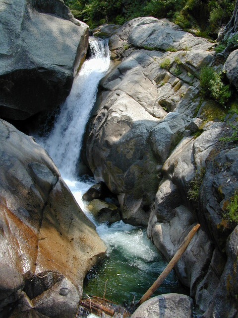
    Driving the distance on Mineral King Road, the wonders abound on every curve. Wildlife, waterfalls, water flowing and the dense forests.

    Atwell Mill Campground is located at an old wood mill site and has a good hike to a footbridge at Kaweah River. There is a small cabin community called Silver City which caters to summer crowds and family campers. Only open during the warm season.

    At the very end of Mineral King Road is the gravel parking. Step out into high elevation (7830′ above sea level), breathe deep and enjoy the granite bowl of alpine bliss with creeks, meadows, wildflowers, picnic spots, hiking trails and scenery everywhere. Mid day sunshine can be bright. Black bears and marmots are very common.

    Cold Springs Campground is the last developed campground, located next to a raging creek. The hike-in sites are the best choice for seclusion at this camp.

    South Fork Campground is the smallest of the campgrounds in this area; located in the foothills at 3600′ elevation, open all year. From Highway 198 (W of the town of Three Rivers), take South Fork Drive 13 paved miles to camp.

    KaweahFalls

    mineral king backpacking

    Mineral King is a favorite destination among backpackers as it gives instant access to many high country trailheads with mostly paved road driving. Located deep in the forest at end of a long road, near the center of the Sierra Nevada range gives ample hiking in every direction. The hikes are steep and challenging, but the rewards are solitude, true wildness and grandeur scenery. Although inviting, these steep passes might not be adequate for beginner backpackers, so please keep that in mind when planning. Fishing lakes, day hikes, horseback trails, waterfalls, creeks, and jagged mountain peaks.

    From Mineral King you can access the these popular spots – PCT, the Great Western Divide, the Golden Trout Wilderness, Sequoia National Park, Kings Canyon High Country, Keasarge Pass, John Muir Wilderness.

    top maps for the region –

    Ponderosa Flat Campground

    Butt Lake California
    Ponderosa Flats Campground

    DSCN0101

    Lake Camping NorCal

    RV camping, tent camping, fishing, hiking, swimming, boat launch, handicap accessible.

    Ponderosa Campground – PG&E Campground,  located 3 miles from Lake Almanor

    Tucked away off the main drag of Plumas Hwy 89. North end of Butt Valley Reservoir on east shore. Turn off about 6 miles northwest of Lake Almanor Canyon Dam on Hwy. 89, take Butt Valley Road south for 3.2 miles.

    Set in a Ponderosa Pine forest along the shores of Butt Lake, part of a system of reservoirs formed by hydro-electric dams managed by Pacific Gas & Electric.  Lake levels can change rapidly with minimal warning.

    DSCN0117

    Quiet lake in California: No water skiing, jet ski or race boats; only small motorized fishing boats.  Canoeing, kayaking and sail boating are also popular lake recreation. Off road areas nearby.

    • Elevation: 4,150′
    • Number of Sites: 63
    • Camping Reservations: Yes
    • Sites Available: Reservations; First come, First serve
    • Vehicle Accessibility: Vehicle 32 ft. max. No RV Hookups
    • Length of Stay: 14 Days
    • Water: Piped; lake
    • Toilet: Vault
    • Season: Closed for winter, Nov-April
    • Fee: Yes
    • Operated By: PG&E
    • Closest Town: Lake Almanor, CA

    Pacific Gas & Electric
    Almanor Ranger Station
    916-386-5164

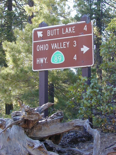
    Ohio Valley Route
    The alternate dirt road access thru Ohio Valley is graded dirt w/ rough roads that may require 4×4 or high clearance vehicles. RVs are not advised to travel this way.

    nearby destinations –

    Sespe Wilderness

    Sespe Wilderness & Hiking Trails

    Los Padres National Forest
    Campgrounds & Trailheads

    Sespe Wilderness is located in the mountains W of Interstate 5, North of Los Angeles. The chaparral region lies in between Lockwood Valley and the Santa Clara River Valley (Hwy 126). Higher elevation Mount Pinos lies to north side of Sespe and Ojai Valley to the south. The infamous 4×4 Miller Jeep Trail is located on the north side near Alamo Mountain, which is also accessible via Hungry Valley.

    The 2006 Day Fire burnt a good portion of the Sespe Wilderness, so you can expect to see some black and toasted areas. Sespe Creek is also referred to as Sespe River. and certain waterways may dry up during drier months. Piru Creek, Alder Creek, Aqua Blanca Creek, Tarr Creek, Mutau Creek, Snowy Creek are several worthy of note. Expect heat and high temperature in the summer & fall month, and possible campfire restrictions during extreme wildfire season.

    219,700 acres
    6 areas of hiking trails

    Los Padres National Forest
    Lockwood Ranger Station
    661-245-3731

    Sespe Trail Map
    Sespe Trails, Tom Harrison Topographic Map

    Sespe hiking trailheads located at –

    Highway 126 – Fillmore, CA
    Sespe Condor Sanctuary – Dough Flat Trailhead

    Highway 150 – Ojai, CA
    Sisar Canyon Day Hike / Road #4N15

    Highway 33 – Ojai, CA
    Rose Valley Road #6N31, Rose Valley Falls, Day Hike
    Piedras Blanca Trailhead for the National Recreation Trail
    Pine Mountain Rd # – Reyes Peak Trailhead

    Lockwood Valley Road – Frazier Park, CA
    Reyes Creek, Camp Shiedeck – Pine Mountain Trailhead
    Half Moon Mutau Flat Trailhead, Sespe Hot Springs

    Interstate 5 Tejon Pass @ Hungry Valley
    Hard Luck Trailhead


    rd7N03

    Los Padres Campgrounds near Sespe Wilderness

    • Frazier Park Camping
    • Ojai Campgrounds
    • Twin Pines Campground, Road # 18N01
      Alamo Mountain via Hungry Valley OHV
    • Lockwood Creek Campground
    • Half Moon Campground, Lockwood #7N03
    • Thorn Meadows Campground, Lockwood #7N03
    • Dome Springs Campground, Lockwood #8N40
    • Reyes Creek Campground, Lockwood Valley Rd
    • Pine Mountain Road @ Reyes Peak (dispersed)
    • Nettle Springs Campground, Cuyama Hwy 33
    • Ozena Campground (closed)letswalk
    • Tinta Campground, Hwy 33
    • Rancho Nuevo Camp, Hwy 33
    • Rose Valley Campground, Hwy 33
    • Wheeler Gorge Campground, Hwy 33


    nearby parks & lakes –

    nearby towns –

    Backpackers at Sespe Hot Springs

    Dome Springs Campground

    Domesprings

    Los Padres NF – Frazier Park Camping

    Dome Springs Campground

    Los Padres Forest Rd #8N40

    North of Lockwood Valley Rd. 20 miles W of Frazier Park, CA

    Free, small campgrounds are abundant inside the Los Padres. Pinyon pine forest & a wide high desert wash, steep canyons and mountain wilderness. Kern County’s highest peak sits nearby @ Mount Pinos 8831′, with neighboring Mount Able 8286′ directly west of Pinos. Peak to Peak hike is a popular attraction for day hikers and backpackers alike.

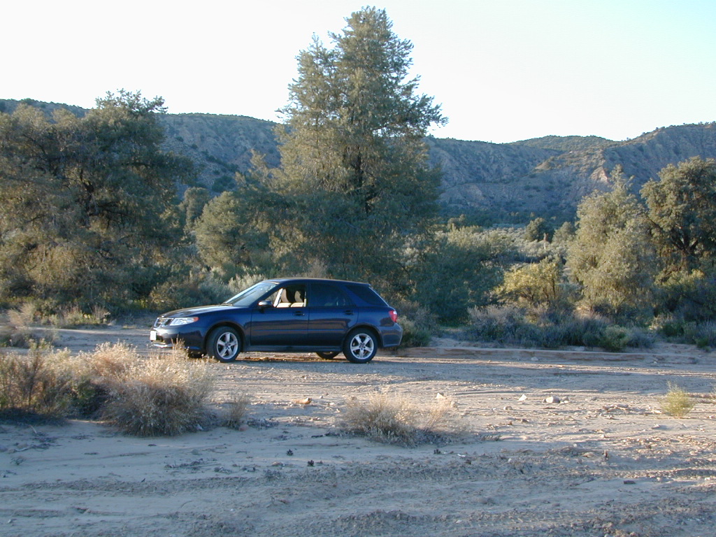
    Saabaru Off-Roader

    Lockwood Valley Camping

    free campground  / badlands terrain

    When mountain winter temps set in (around the holiday season), camping overnight in the low lands might be more appealing. Domesprings is a perfect camp spot for car campers, off roaders, hunters or even mountain bikers. OHV trails, target shooting areas are abundant, as well as hiking and stargazing opportunities. The main wash is called Dry Canyon, which is nice when there has been some mild rain for minimal dust. No motor bike, vehicles or bicycles in the neighboring Chumash Wilderness, which borders this region on the north next to Mt Pinos.

    Dome Springs – Dry Canyon main access road #8N40 can be sandy at times and 4×4 might be needed to reach camp during drier months. Snow or wet weather might also pose a problem with this road, so always check weather and call the rangers ahead of time to find out current road conditions. Most of the time you can get back here with a low rider passenger car.

    Elevation: 4,585′
    Number of Sites: 4
    Camping Reservations: No
    Sites Available: First come, First serve
    Vehicle Accessibility: small RVs
    Length of Stay: 14 Days
    Water: No Piped; seasonal creek iffy
    Toilet: Vault
    Season: Open all year
    Fee: No
    Operated By: National Forest Service
    Closest Town: Frazier Park, CA

    Los Padres National Forest
    Lockwood Ranger Station
    661-245-3731

    camp

    2 other big washes off this mountain ridge are –

    Apache Canyon Road #8N06Nettle Spring Campground, running to the west.

    Quatal Canyon Road #9N09Toad Spring Campground, running to the west.


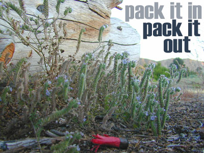
    litterlogs_med

    Saddlebag Lake Campground

    Saddlebag Lake, Yosemite East Side

    Inyo National Forest @ Tioga Pass, Hwy 120

    Yosemite High Elevation Campground

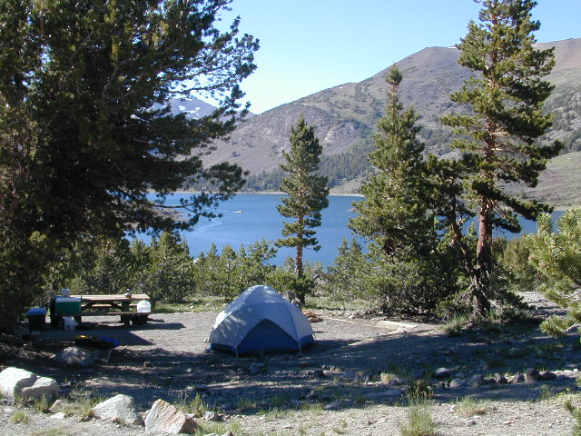
    Yosemite Lake View Camp Sites

    Tioga Pass camping on the eastern side of Yosemite National Park, just outside park boundaries is Inyo National Forest lands. Snow is usually epic up here and some of the deepest on the range of light.

    Several prime campgrounds line this popular Sierra pass, highway 120. Most camps are located along the busy highway just outside the National Park gate. Behold, this prime choice destination is a few miles back off the highway, at the end of a graded dirt road. Smaller RVs okay.

    Saddle Bag Lake

    High altitude, tree line, thin air, snow melt everywhere, spectacular elevations and dark skies make this an awesome stargazing spot. Summer is busy with trailers, boat rentals, horses and day hikers. Locals and fishermen use this small campground often, so tourists should feel lucky to find such a rare camp here. First come, First serve, when it is open (only half the year).

    Elevation: 10,000′
    Number of Sites: 19
    Camping Reservations: No
    Sites Available: First come, First serve
    Vehicle Accessibility: Vehicle limit 22 ft. max.
    Length of Stay: 14 Days
    Water: Piped; lake, creek nearby
    Toilet: Vault
    Season: Closed during winter & spring
    Fee: Yes
    Operated By: National Forest Service
    Closest Town: Lee Vining, CA

    Inyo National Forest
    Bishop Ranger Station
    760-873-2400

    RV Camper Lake

    Indian Flats Campground

    Temecula Camping / Warner Springs Campground

    San Diego Mountains – Cleveland National Forest

    Indian Flats Campground

    Indian Flat Campground is located on the seasonal San Luis Rey River in rural North San Diego County.  From I-15 @ Temecula, CA travel eastbound on Highway 79. Look for the tiny turn off  (on left side) for forest road #9N05, sorta near glider airport located west of Warner Springs. This poorly paved backcountry route (half dirt/mud at times) is also known as both Indian Flats Road or Lost Valley Road.

    Graded dirt road (paved in some portions) travel is approximately 6.5 miles to campground, look for gate and turn off on the left side. When you see the giant boulder near the entrance, you’ll know you’ve made it to the right place.

    Oak trees and a few pines, plenty shade, boulders and mountain scenery, this is a great small campground that is well away from everything in Southern California.  Seasonal creek-sized river and boulder waterfall often dries up in late summer. This means a wet spring is the best time to visit this camp. Hiking, mountain biking trails and hammock spots. Pacific Crest Trail access.

    Cleveland National Forest
    Palomar Ranger District
    760-788-0250

    ClevelandMap_07

    Elevation: 3,600′
    Number of Sites: 17
    Camping Reservations: None
    Sites Available: First come, First serve
    Vehicle Accessibility: Length 15′ max.
    Length of Stay: 14 Days
    Water: No Piped; Seasonal creek nearby
    Toilet: Vault
    Season: Closed for mud & snow during winter months
    Fee: Yes
    Operated By: National Forest Service
    Closest Town: Warner Springs, CA

    Indian Flat
    Indian Flat Campground Entrance

    Lily Pad Campground

    Lilypad Campground @ Lake Wishon Reservoir
    Sierra National Forest, California

    The long journey up the mountain into the Sierra National Forest is only for the true adventure seekers. First off, get a good forest map. Second, plan several days if not a full week off of work to explore this region in depth. It is a long drive from most anywhere in California, and this spot is way, way tucked back in there right up against the High Sierra peaks and wildness.

    East of in Fresno, historic village of Clovis is a good lunch stop in route. Drive up mountain on Hwy. 168, turn right at Shaver Lake on to Dinkey Creek Rd. Now you will clock the mileage 28.7 miles to the camp. Drive past McKinley Grove and past Dinkey Creek. Follow signs to Wishon Reservoir. This campground is located adjacent to the road before you reach the dam.

    All this travel time will have you asking ‘is it worth it’? The answer is ‘yes’….. if you want an uncrowded lake with plenty of wilderness surrounding you. Granite rock and forest all around. Lake Wishon is a hydroelectric reservoir operated by PG&E

    Lily Pad Campground

    Central Sierra Camping – Wishon Lake

    High Sierra Rangers Office: 559-855-5355

    • Elevation: 6,500′
    • Number of Sites: 15
    • Camping Reservations: No
    • Sites Available: First come, First serve
    • Vehicle Accessibility: 35′ limit on RVs & trailers
    • Length of Stay: 14 Days
    • Toilet: Vault
    • Water: Piped
    • Season: Closed in Winter Snow
    • Fee: Yes

    camp sites at lake

    Large granite boulder coves provide cubby-hole privacy w/ shady trees and well spaced camp sites. Very unique design with paved driveways, adequate for handicapped camping with some sites with better access than others. 4 camp sites are considered walk-in sites.

    Lake views from camps are only a mere climb up to the top of the nearest granite, which will show you just how close you are sleeping to the big water.

    As with any Sierra location, holiday and summer weekends are the most busy. Tourists, family campers and RVers are all out enjoying the sunshine. Mid-week camping is good for fishing, relaxing w/ peace and quiet. Off season is best for having the place to yourself.

    Outdoor recreation in the area include – hiking, camping, backpacking, rock climbing, mountaineering, sightseeing, kayaking, canoeing, mountain biking, off-roading, creek fishing, lake fishing.


    Neighboring Wishon Village has a small general store, RV park w/ wifi & boat rentals.


    California Summer Camp

    Kids Summer Camps in California

    a child’s fondest memory, summer camp.

    California Camps

    Coppercreek Camp
    Williams Valley Rd
    Greenville, CA 95947
    800-350-0006
    Northern Sierra Nevada mountains

    Gold Arrow Camp
    60378 Highway 168
    Lakeshore, CA 93634
    800-554-2267
    Central Sierra Nevada mountains

    Kennolyn Camps
    8205 Glen Haven Road
    Soquel, CA 95073
    831-479-6714
    Santa Cruz mountains

    Mountain Meadow Ranch
    Susanville, CA 96130
    530-257-4419
    Northern Sierra California

    Plantation Farm Camp
    4285 Kruse Ranch Road
    Cazadero, CA 95421
    510-849-1084
    707-847-3494
    Coastal Sonoma redwoods

    Pine Springs Ranch
    58000 Apple Canyon Road
    Mountain Center, CA 92561
    951-659-4131
    Idyllwild SoCal mountains

    River Way Ranch Camp
    6450 Elwood Road
    Sanger, CA 93657
    800-821-2801
    559-787-2551
    Central Sierra, Kings Canyon

    Shaffer’s High Sierra Camp
    38782 Highway 49
    Sattley, CA 96124
    866-597-6617
    Gold Country Sierra foothills

    Skylake Yosemite Camp
    37976 Road 222
    Wishon, CA 93669
    559-642-3720
    Bass Lake in Sierra NF

    San Francisco RV Park

    RV Campground San Francisco / RV Camp Ground

    San Francisco RVing

    Beach RV Park
    2505 Portola Dr
    Santa Cruz, CA
    831 462-2505

    Betabel RV Park
    9664 Betabel Rd
    San Juan Bautista, CA
    800-278-7275
    831 623-2202

    Candlestick RV Park
    650 Gilman Ave
    San Francisco, CA
    800 888-2267
    415 822-2299

    Costanoa Coastal Lodge & Camp
    2001 Rossi Road @ Hwy 1
    Pescadero, CA
    650 879-1100

    Coyote Valley RV & Golf Resort
    9750 Monterey Rd
    Morgan Hill, CA
    866 376-5500
    408 463-8400
    San Jose, CA

    Marin Park
    2140 Redwood Hwy.
    Greenbrae , CA
    888 461-5199

    Novato RV Park
    1530 Armstrong Ave
    Novato, CA
    800 733-6787
    415 897-1271

    Olema Ranch Campground
    Point Reyes National Seashore
    10155 Highway 1
    Olema, CA
    800 655-2267
    415 663-8001

    Parkway Lakes RV Park
    100 Ogier Ave
    Morgan Hill, CA
    408 779-0244

    Pinto Lake Park
    451 Green Valley Rd
    Watsonville, CA
    831 722-8129

    San Francisco RV Resort
    700 Palmetto Ave
    Pacifica, CA
    877-864-2728
    182 sites

    Santa Cruz Ranch RV Park
    917 Disc Dr
    Scotts Valley, CA 95066
    877-864-2728
    Full hook up, pull-thru sites

    Saratoga Springs Park
    22801 Big Basin Way
    Saratoga, CA
    408 867-3016 x824

    Trailer Tel RV Park
    1212 Oakland Rd
    San Jose, CA
    408 453-3535

    Treasure Island RV Park
    1700 El Camino Real
    South San Francisco CA
    650 994-3266

    see also –

    Los Padres Camping

    Los Padres Campgrounds
    Big Sur, Mount Pinos, Ojai, Santa Barbara, Santa Lucia

    Forests

    Los Padres National Forest campgrounds span the length of the California Central Coast, from the Monterey Bay to Los Angeles County. Choose a desired area:

    Big Sur Campgrounds

    Frazier Park Camping

    Mount Pinos Campgrounds

    Ojai Camping

    Santa Barbara Camping

    Santa Lucia Camping

    Bottcher Gap Campground
    Lush coastal campground is Bottchers Gap near Big Sur, CA

    Los Padres National Forest

    see also Los Padres Group Campgrounds

    maps of the Los Padres regions –

    Los Padres nearby towns & cities –

    Pine Mountain Club from ridge
    Pine Mountain Club from ridge

    Tuttle Creek Campground

    Tuttle Way

    There she sits, above Lone Pine California, right next to the High Sierra. Above the Alabama Hills….. at the base of Whitney, on an alluvial fan overlooking the Owens Valley & US Hwy 395.

    Tuttle Creek Campground is perfect stop for RVers traveling the Eastern Sierra, beginner mountain bikers needing to explore & test their skills, or the avid backpackers waiting to acclimate & get a good nights rest in reasonable temperatures, before attempting the tallest Mount Whitney.

    Tuttle Creek is a BLM Campground w/ picnic tables, fire rings or BBQs. Awesome creek camping at the base of Mount Whitney. Hear the water rushing over the boulders; soothing for bedtime or stargazing. The fishing is decent. Wildflowers like indian paintbrush & lupine can be found here in spring and summer, in the high desert sage lands of the Eastern Sierra.

    • Elevation: 5120′
    • Number of Sites: 85
    • Vehicle Accessibility: RVs okay
    • Camp Fee: No
    • Campsites Reservation: No
    • Length of Stay: 14 Days
    • Season: March – October
    • Trailheads: John Muir Wilderness

    From Lone Pine CA, head West 3 miles on Whitney Portal Rd, turn LEFT on Horseshoe Meadow Road, within 2 miles, turn right on a dirt road that leads to the campground.

    Tuttle Creek flows past campground; No drinking water.
    Pit toilets; Some shade.

    BLM Lone Pine
    760-872-4881

    LONE PINE CA

    HINT: On the dirt back roads, on the slopes of the Eastern Sierra, between Lone Pine & Bishop, you can find & fishing holes & primitive camps (free camping) on any numerous of creeks; some you can park so close that you don’t have to leave your vehicle to fish. You may need a high clearance vehicle to reach some.