Tag Archives: creek

4S12 – Inyo NF

rockcreekroad

Rock Creek Road

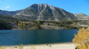
Rock Creek Lake, Eastern Sierra, California

Inyo Forest Road #4S12
also known as Inyo Road 12, and also Rock Creek Rd.

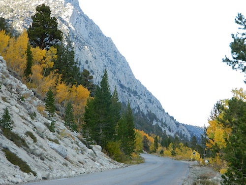
Majestic mountain scenery. Popular paved route that leads from US 395 up to Rock Creek Lake, on the edge of granite wild lands; lake is situated above 9000′ elevation and the hiker trailheads are further up, beyond the lake at over 10,000 feet. Steep canyon, large canyon, rocky granite canyon, high elevation.

Super scenic drive, but open less than half the year, due to deep snow. Eastern Sierra Nevada mountains. Inyo National Forest

North of Bishop, CA
South of Mammoth, CA
SW of US Highway 395

hikes horse camp bike

backpacking
camping
fishing
hiking
horseback
trailheads
wilderness

A popular and favorite place for summer camping, fishing and hiking. Backpacking, horse trails, high elevation lakes, mountain passes, peaks, wilderness areas. RV campgrounds, tent camping, car camping. Mountain biking in vast canyon, near campgrounds and creek. No bikes in the Wilderness (up and above Rock Creek)

Autumn colors, aspen groves usually best in early October. Snow closure in winter months (Nov-May).
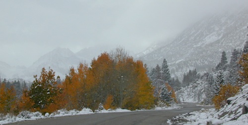
snowyautumn

elevation 7072′ @ Tom’s Place, CA (US Hwy 395)
elevation 9682′ @ Rock Creek Lake
elevation 10,272′ @ Trailhead Parking (end of road)

UP, UP, HIGHER & AROUND LAKE
One lane, paved route gets narrow, but keeps on climbing. Road #6S05 continues up – past Rock Creek Lake and ends at hiking trailheads, paved parking lot and a few picnic spots.
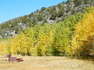
iris meadow
Iris Meadow Campground NFS

12 NFS Campgrounds in this region, starting with one at the highway, several along the way and the campgrounds at Rock Creek Lake.

No campfires are allowed in this canyon – outside of a developed campground. Not much in the way of primitive car camping options either, except for strapping on a backpack and heading into high elevation wilderness.

rockcreeklake

Rock Creek Lake

Rock Creek Campgrounds

Inyo National Forest
John Muir Wilderness

Trailheads along Rock Creek Road #4S12

  • Upper Hilton Lakes
  • Tamarack
  • Lakes Valley (Little Lakes)
  • JMT – John Muir Trail

Rock Creek NFS Hiking Trailheads (download PDF)

Eastern Sierra Maps:
Inyo National Forest Map USDA
John Muir Wilderness Maps
Mammoth Lakes Map by NatGeo
Mono Divide High Country Map
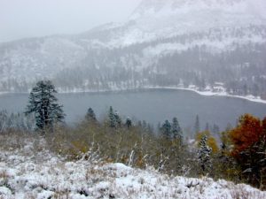
 

rock creek lake
Rock Creek Lake, first snowfall (Autumn)


looking for another place called ROCK CREEK in California? (we are working on that)

Walker Lake

mountgibbs
Mt Gibbs, elev. 12,764′

A few different Walker Lakes around California.

Walker Lake, California

Walker Lake @ US Hwy 395, Eastern Sierra
June Lake Loop – Hwy 158
June Lake, CA

Inyo National Forest (Lee Vining to Grant Lake)
Inyo Forest Road #1N17 access to side canyon route, Inyo Forest Road #1S23

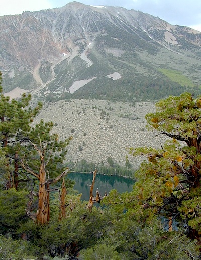
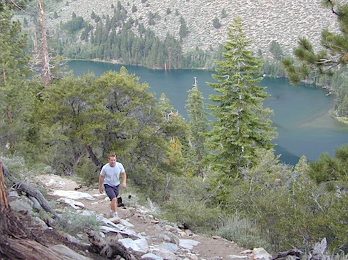
small, scenic, hike-in only lake (pictured below).
1.2 mile hike downhill – strenuous, very steep; 800′ elevation loss. Bloody Canyon trailhead also connect to Sardine Lake, above Walker Lake.

hikeinlake

There is also another Walker Lake in Mendocino County California. Walker Creek, Ridgewood Park; west of US Hwy 101, south of Willits, CA

walkerpeak
Mount Grant, Nevada

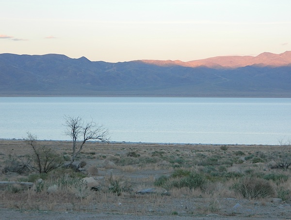
Walker Lake, Nevada

very windy, Walker Lake, Nevada
US Highway 95, north of Hawthorne, NV
Mount Grant elev. 11,239′

Walker Lake State Recreation Area, now known as Monument Beach, is located along the western shore of the lake. The Hawthorne Army Depot, the world’s largest ammunition depot, fills the valley to the south of the lake. Naval Undersea Warfare Center?

Route 95 passes along western shore of Walker Lake. Walker River from the Eastern Sierra mountains in California, may sometimes flow into Walker Lake, Nevada.

Upstream water users have exploited the Walker River for profit, resulting in the destruction of Walker Lake, NV. According to the USGS, the level dropped approximately 181′ between 1882 and 2016. By June 2016 (under drought conditions) the lake level was 3,909′ above sea level, the lowest lake elevation since measurement began in 1882.

Better camping option, north @ Fort Churchill, NV

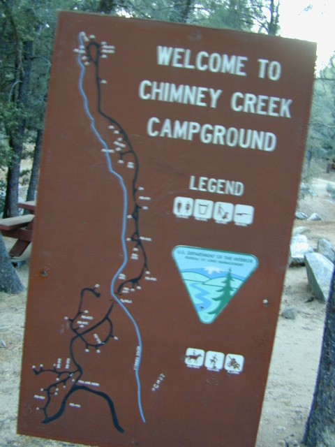
Chimney Creek Campground

campmap

Chimney Creek Campground
BLM Kern / Mojave

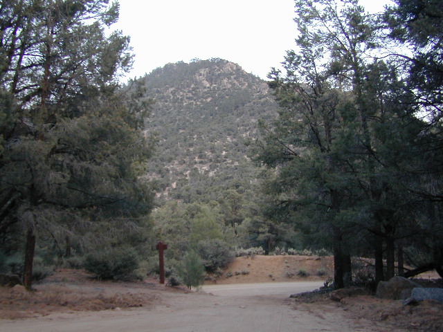
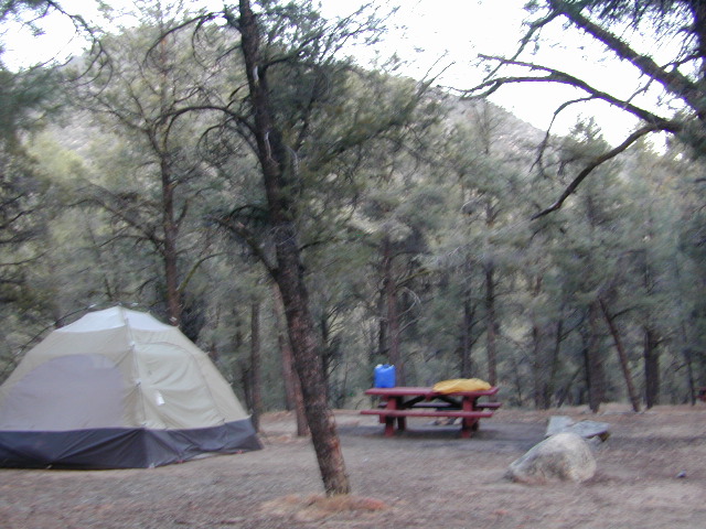
High mountain desert camp is mislabeled on some maps as “Chimney Peak Campground” or “Chimney Rock Campground”. Pinyon pine forest on Chimney Creek, near hiking trailheads, wildflowers and Chimney Peak Wilderness. Southern Sierra ridge near Mojave Desert and California SR 178.

peakpinyons

Canebrake Road is a graded dirt road that makes up part of Chimney Peak Back Country Byway. This rural route is a major graded dirt road located north of Highway 178 – which connects Canebrake to Long Valley up near Kennedy Meadows. Pacific Crest Trail passes next to this campground in the Southern Sierra mountains. The campground turn off is way east of Lake Isabella Hwy 178 is (near Walker Pass & PCT) and follow dirt road north to Kennedy Meadows in the far eastern reaches of Sequoia National Forest

Chimney Peak BLM
• Elevation: 5,700′
• Number of Sites: 32
• Camping Reservations: No
• Sites Available: First come, First serve
• Vehicle Accessibility: RV limit 28′ max
• Length of Stay: 14 Days
• Water: Piped (April – Sept)
• Toilet: Vault
• Season: Open all year
• Fee: No
• Operated By: BLM
• Closest Town: Lake Isabella, CA

Bureau of Land Management
BLM Bakersfield Ranger Station
661-391-6000

Lamont Peak
Lamont Peak – elev 7510′

nearby destinations –
Camp Kern Backroads

Chimney Peak Wilderness
Lamont Peak
Long Valley Campground
Dome Land Wilderness
Owens Peak Wilderness
Jawbone Canyon
Sequoia National Forest
Sacatar Trail Wilderness
Kiavah Wilderness
Kennedy Meadows
Lake Isabella
Kern River
Monache Meadows


View Chimney Creek Campground in a larger map

Small Campgrounds on Creek

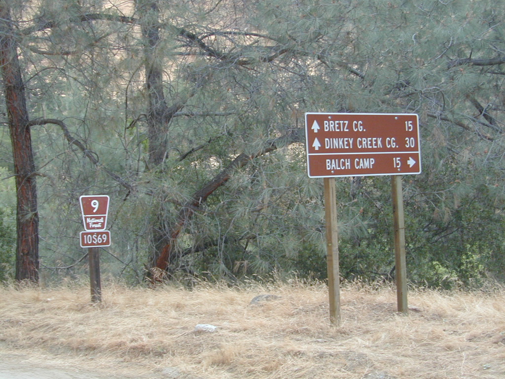
Road 10S69

California Small Campgrounds on Creeks

campground region town
Beaver Creek Klamath NF Happy Camp
Grider Creek Klamath NF Happy Camp
Trout Creek Shasta NF McCloud, CA
Bear Creek Mendocino Ukiah, CA
Mokelumne Eldorado NF Jackson, CA
Dark Canyon SanBerdu Idyllwild
Grays Meadow Inyo NF Independence
Limekiln SP Los Padres NF Big Sur, CA
Patrick Creek 6 Rivers NF Crescent City
Rock Creek Sierra NF Bass Lake
McGee Creek Inyo NF Tom’s Place
Camp Wishon Sequoia NF Springville

Creekside Camping in California

HIdden Falls
creekside cabins

Wanna do day-trips to this kinda place, fishing or sightseeing, but sleep indoors? Then check out lodging in these fine California river towns.

Sturtevant Falls

Santa Anita Canyon, Sturtevant Falls

a day hike in the San Gabriel Mountains

Day hikes near Los Angeles, CA

Santa Anita Canyon, Angeles National Forest
From the 210 freeway, in San Gabriel Valley. East of Pasadena, exit Santa Anita Ave.
Head North/East, through neighborhood, where road becomes Chantry Flats Rd (aka, Forest Road #2N40)
proceed up the mountain to paved parking lot @ Chantry Flat. Falls Trailhead #11W14

  • 5 miles RT hike
  • 4600′ elevation
  • steep canyon w/ creek crossings
  • falls and creek subject to seasonal dry up; water flow varies
  • backpack camping only, no developed campground


more photos on trailhead


View Larger Map

Indian Flats Campground

Temecula Camping / Warner Springs Campground

San Diego Mountains – Cleveland National Forest

Indian Flats Campground

Indian Flat Campground is located on the seasonal San Luis Rey River in rural North San Diego County.  From I-15 @ Temecula, CA travel eastbound on Highway 79. Look for the tiny turn off  (on left side) for forest road #9N05, sorta near glider airport located west of Warner Springs. This poorly paved backcountry route (half dirt/mud at times) is also known as both Indian Flats Road or Lost Valley Road.

Graded dirt road (paved in some portions) travel is approximately 6.5 miles to campground, look for gate and turn off on the left side. When you see the giant boulder near the entrance, you’ll know you’ve made it to the right place.

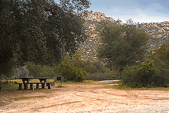
Oak trees and a few pines, plenty shade, boulders and mountain scenery, this is a great small campground that is well away from everything in Southern California.  Seasonal creek-sized river and boulder waterfall often dries up in late summer. This means a wet spring is the best time to visit this camp. Hiking, mountain biking trails and hammock spots. Pacific Crest Trail access.

Cleveland National Forest
Palomar Ranger District
760-788-0250

ClevelandMap_07

Elevation: 3,600′
Number of Sites: 17
Camping Reservations: None
Sites Available: First come, First serve
Vehicle Accessibility: Length 15′ max.
Length of Stay: 14 Days
Water: No Piped; Seasonal creek nearby
Toilet: Vault
Season: Closed for mud & snow during winter months
Fee: Yes
Operated By: National Forest Service
Closest Town: Warner Springs, CA

Indian Flat
Indian Flat Campground Entrance