
![]()
![]()
![]()
![]()
Amazing autumn colors can be found through OCTOBER and NOVEMBER in California, but you’ll need to leave the city in order to find the very best colors and scenic beauty. Fall season happens quickly (within weeks) in the high country and slower (months) in the lowlands. Plenty canyons and parks in the urban centers have hiking trails thru some nice trees, but nothing compares to the backroads, creeks and rivers of the big mountains.
Elevations, the higher the better, is where you’ll find the real displays of color. Aspen groves can be found along mountain slopes, creek canyons from 5000′-10,000′ in elevation. Cottonwood trees are found in the drier regions, in ranching areas and in desert canyons – up to about 6000′ elevation. Aspen trees start to turn yellow as soon as the chill of nights drop; if the temperature shift is subtle, the aspen leaves become more orange as the days go into the fall season. If an early snow or freeze happens, just one night, the glorious foliage becomes dead brown crispies dangling in the wind.

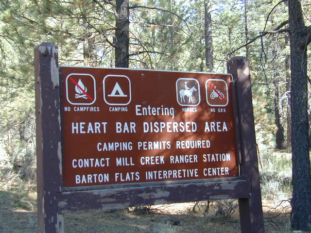
CAMP FIRE RESTRICTIONS are still be in place from the dry summer, and now comes the autumn winds. Any decent amount of rain can change the fire burn status, so make sure to check with the rangers for up-to-date fire info.
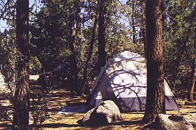
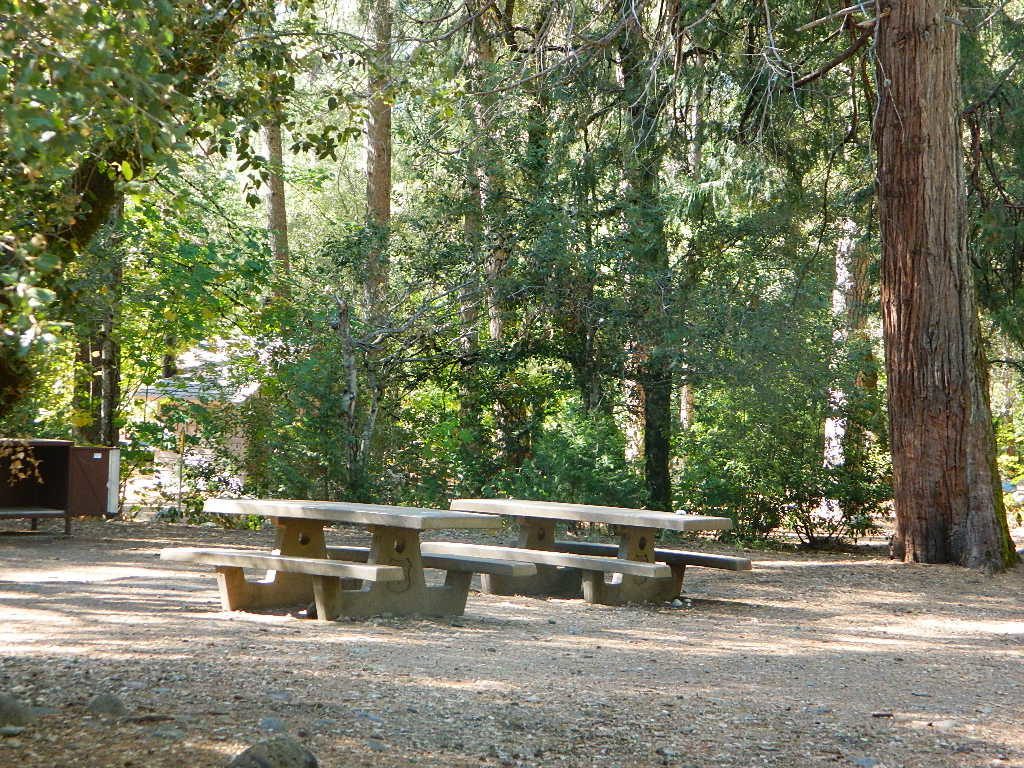
Best Autumn Campgrounds in California
Many of these campgrounds are located in or near aspen groves & are simply spectacular during the fall months. Some may be located near alder groves. Maple trees located along rivers turn golden between September and October.
Higher elevation (7000′-9000′) colors will change faster and earlier in the year (as soon as September), whereas the lower countryside may wait until late October.
Pack warmly, cuz the cooler temps at night (20-30 degrees) is what makes these awesome, little autumn leaves change colors. The change can happen very fast (in days). When the early season snows move in – usually a minimal dusting by October, fall colors can fade fast.
Southern California
![]()
has minimal fall colors.
Big Bear Lake, CA
Lake Arrowhead, CA
Ojai Camping – Wheeler Gorge
Sespe Hot Springs (hike-in access only)
![]()
Southern and Central Sierra
have a few aspen groves and several cottonwood canyons.
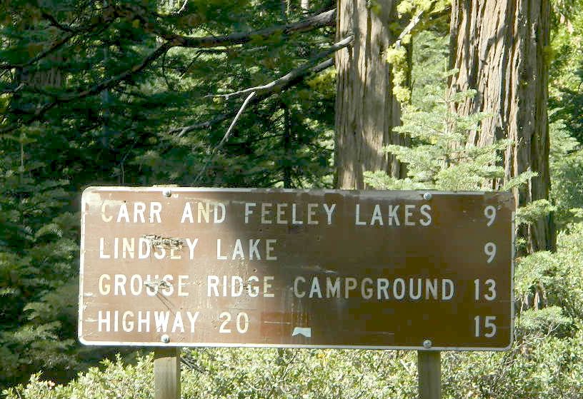
Aspen Hollow Campground NFS
Giant Sequoia @ Hume Lake, CA
near Kings Canyon NP
Big Meadows Campground NFS
Stanislaus National Forest
Arnold, CA
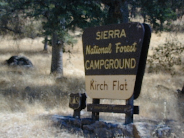
Dinkey Creek Campground NFS
Sierra National Forest
Shaver Lake, CA
Ponderosa, CA
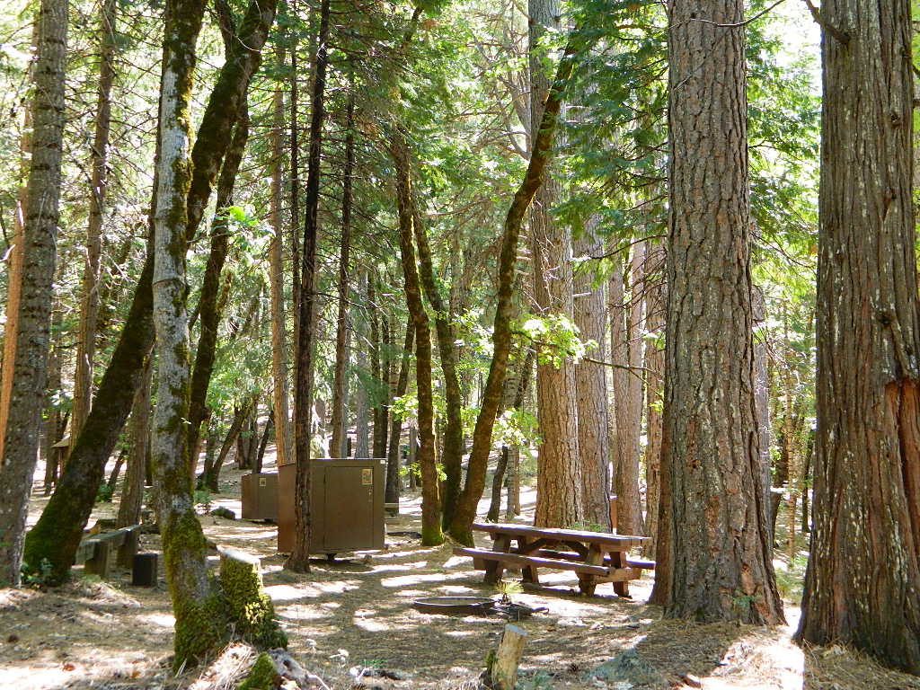
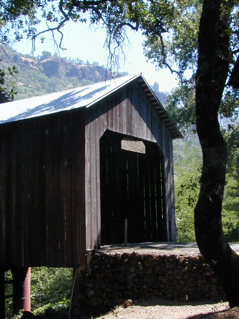
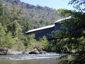
Quaking Aspen Campground ![]()
Quaking Aspen Cabin![]()
Giant Sequoia National Monument
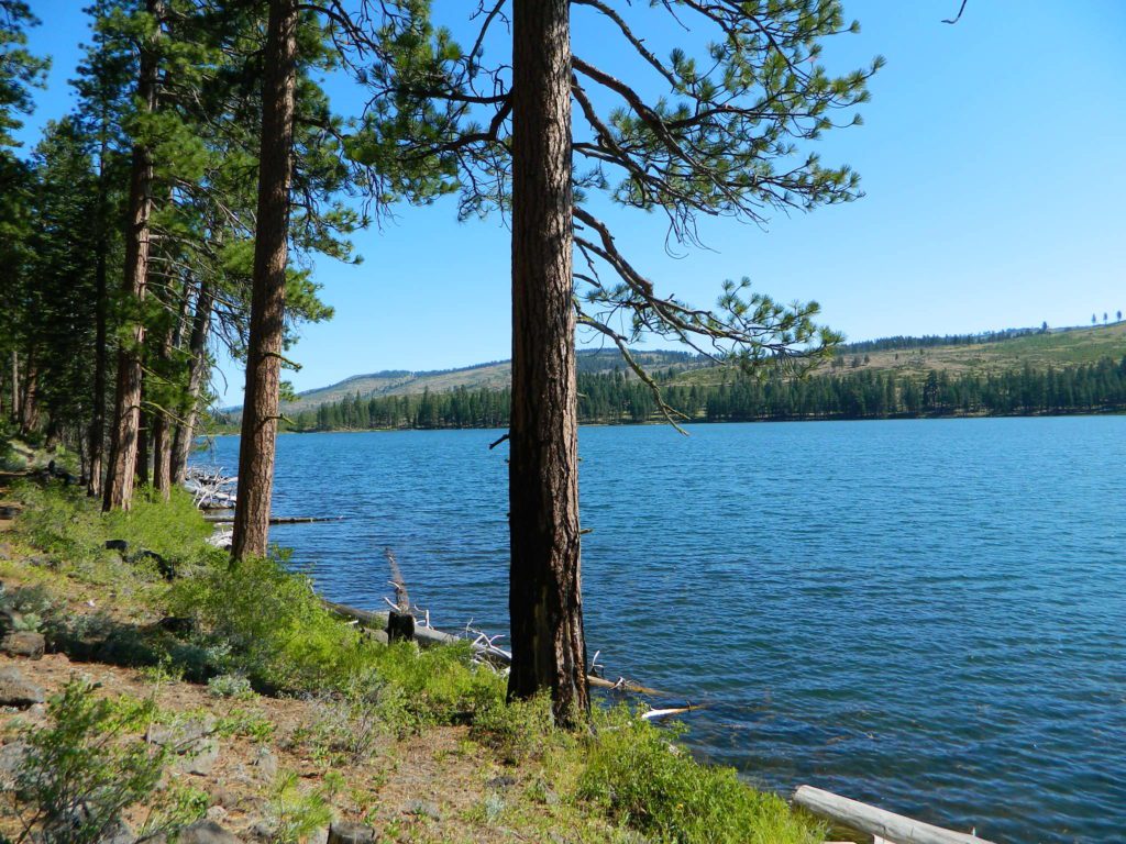
Wishon Reservoir
Lily Pad Campground
Sierra National Forest
Yosemite National Park
Tuolumne Meadows, Hwy 120
Yosemite Valley Campgrounds
Kirkwood, CA
Blue Lakes Road
Carson Pass CA Highway 88
![]()
Northern Sierra
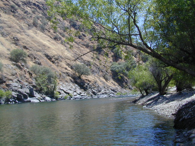
The North Sierra Nevada Mountains covers the region with Lake Tahoe and Donner Pass, and north Gold Country. River canyons with fall colors include American River, Yuba River, and the Feather River.
Aspen Group Campground
@ Jackson Meadows Reservoir
near Truckee, CA
Berry Creek, CA
Milsap Bar, Middle Fork of the Feather River
Bucks Lake, CA
Haskins Valley & Grizzly Creek Campground
Oro-Quincy Highway – Plumas NF
Downieville, CA
Yuba River Campgrounds
Hope Valley, CA
Hope Valley Campground ![]()
Lake Tahoe
![]()

Eastern Sierra
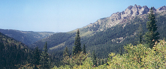
The Eastern slopes of the Sierra Nevada is the ‘place to be’ for Autumn Colors in California. The dramatic desert meets the tallest granite peaks. Every canyon is a different scene, many lakes lined with aspen groves, some have a creek with aspens.
Aspendell, CA
North Lake Campground
Lake Sabrina Road
Bishop Pass (high country hikes)

Bishop, CA
Bishop Creek, Hwy 168
Ancient Bristlecone Pine Forest – both Silver Canyon and
Cottonwood Creek have aspen trees. (both are 4×4 roads)
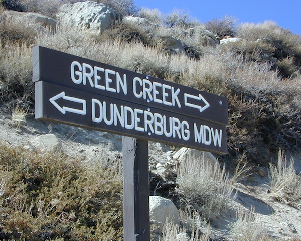
Bridgeport, CA
Green Creek Road w/ signage for
Dunderburg Meadow
Twin Lakes
Hoover Wilderness (high country hikes)
Independence, CA
Onion Valley Campground![]()
Kearsarge Pass (high country hikes)
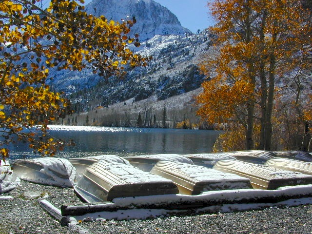
June Lake, Califonia![]()
June Lake Loop #1S63 / CA Highway 158
- Grant Lake
- June Lake Campground
- Oh Ridge Campground
- Reverse Creek Campground
- Silver Lake @ June
- Parker Lake (dirt road to primitive camps)
- Walker Lake (hike-in)
Lee Vining, CA
Lee Vining Canyon / Hwy 120
One of the biggest aspen grove canyons in the state of California.
![]()
NFS Campgrounds in Lee Vining Canyon: Big Bend, Aspen Grove, Boulder, Moraine, and Cattleguard Campground.
NFS Camps @ Yosemite’s EAST GATE (9000′ elev): Ellery Lake, Junction, Saddlebag Lake, and Sawmill Campground.
Lundy Lake
Virginia Lakes
Trumbull Campground![]()
Lone Pine, CA
Alabama Hills has a few cottonwoods.
Whitney Portal has some alder trees and a few aspens.
Mammoth Lakes, CA
Red’s Meadow Campground
Devils Postpile NM
Laurel Lakes Road (rough dirt road)
Convict Lake
Tom’s Place, CA
McGee Creek Campground ![]()
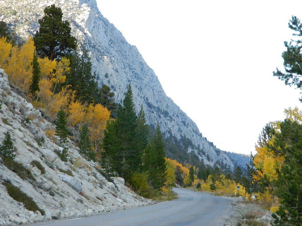
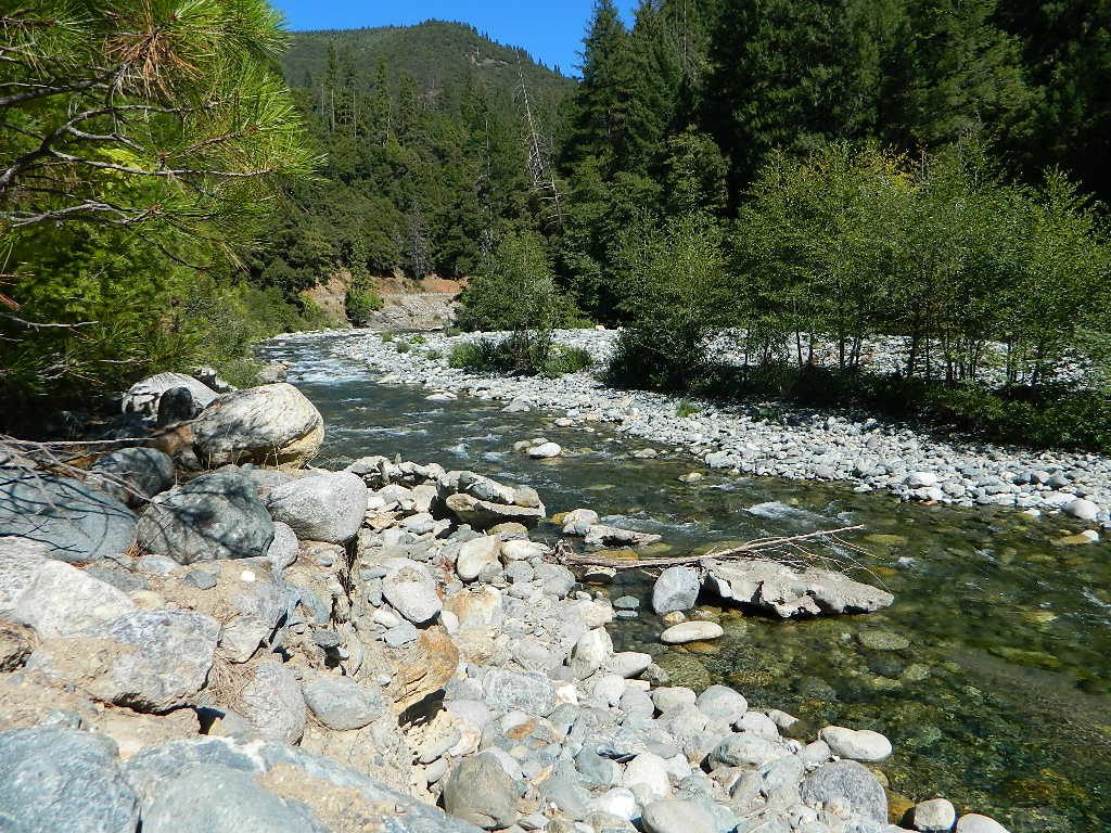
Impressive Rock Creek Road #4S12 in Rock Creek Canyon, one of the very best “Scenic Autumn Drives” in the whole Eastern Sierra. Numerous NFS Campgrounds on this road; many of which close for the season, just about the time then fall colors peak.
Rock Creek Lake Campground @ 9600′ elev ![]()
Iris Meadow Campground @ 8600′ elev

![]()
Northern California
The “North State” primarily has the big river canyons, most of which have fall colors. Eel River, Klamath, Yuba River, Feather Rivers.
Blue Lake Campground
South Warner Mountains
Modoc National Forest
South Warner Mountains
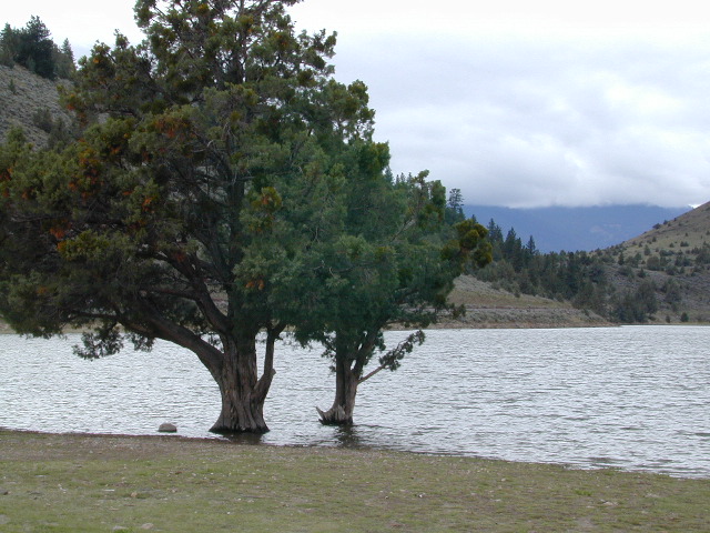
Road 64 Modoc NF
Eagle Lake
Aspen Grove Campground (walk-in camp sites)
Susanville, CA

Sundial Bridge, over Sacramento River
River RV Parks
Redding, CA
Weaverville, CA
Mount Shasta, CA
(downtown of Mt. Shasta City)
McBride Springs Campground
(slopes of Mount Shasta)
Lake Siskiyou
Beach Camp Resort & RV Park
4239 W. A. Barr Rd
Mount Shasta CA
530 926-2610
McCloud, CA
McCloud Falls, South of Mount Shasta
Algoma Campground
McCloud Creek, South of Mount Shasta
MacArthur-Burney Falls State Park
Dusty Campground
Lassen Volcanic National Park
Lassen National Forest
Lassen Camping
Lassen Lakes
Susanville, CA
Bizz Johnson Trail
Roxie Peconom Campground
Siskiyou Autumn Colors
(still to come)

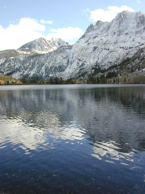
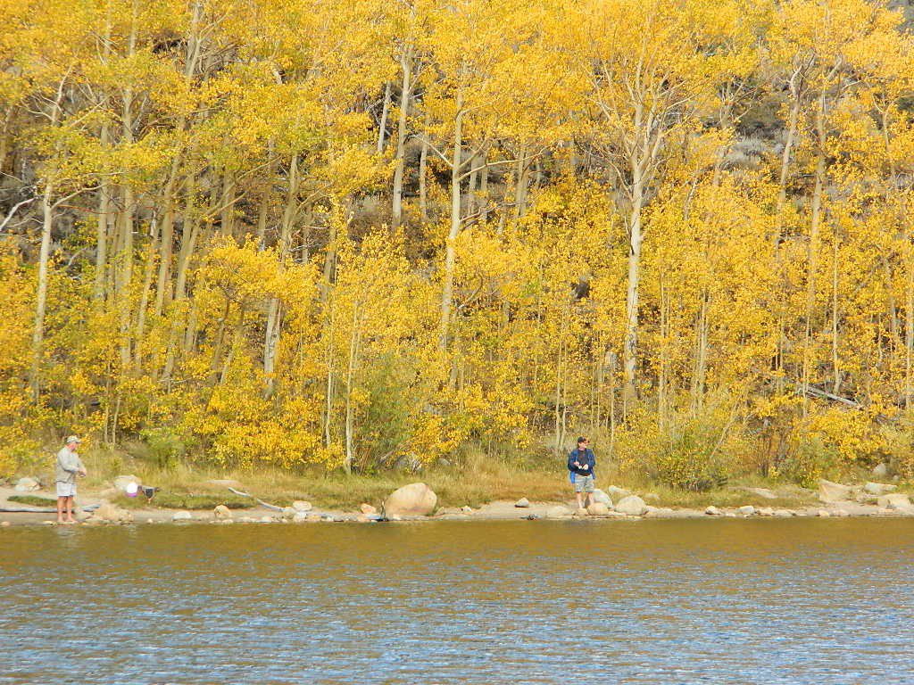
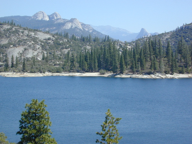
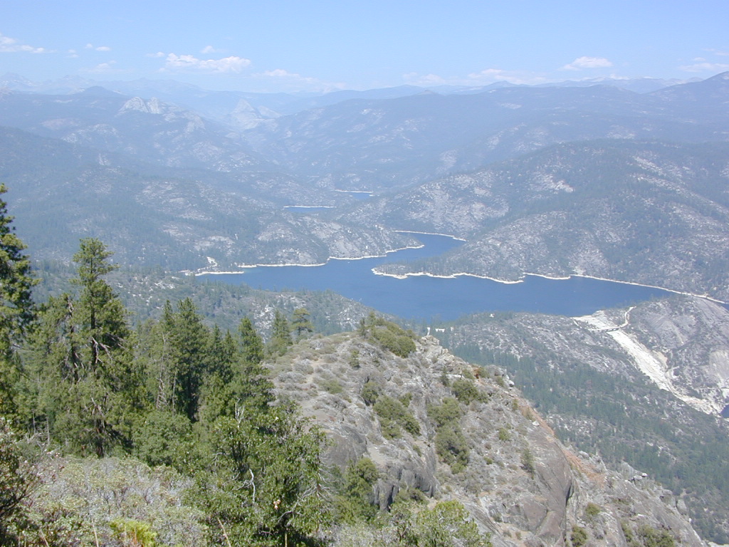
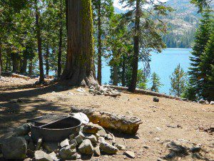
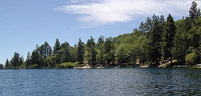
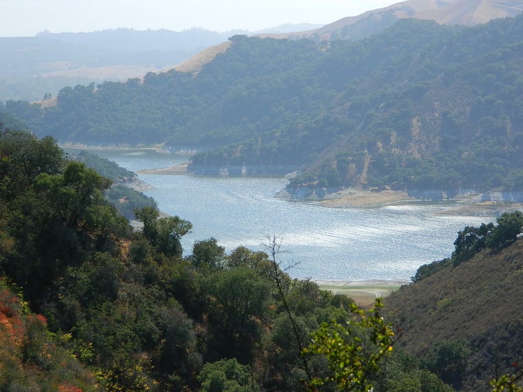
 October-November, Autumn colors – at this particular location – tend to be fantastic, with aspen groves encompassing the lake, nearby streams and steep canyons.
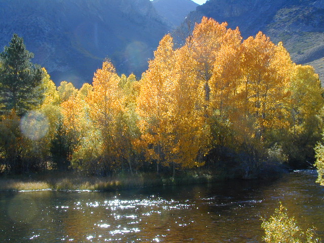


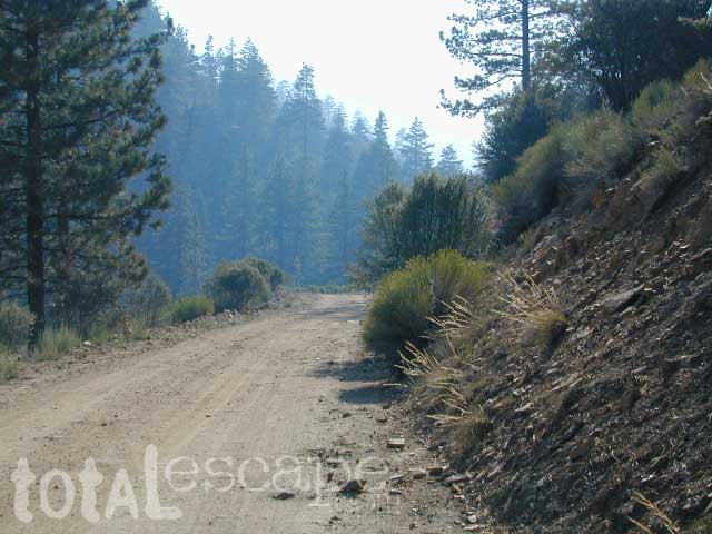
 Grizzly Road, a paved route that leads deeper into the woods and connects over to BEASORE. Back on the main route (Road #81) on the far north end of the loop, a narrow, paved side route connects Clover Meadow Ranger Station and the impressive Granite Creek Campground. Plenty water and hiking trailheads that lead into Ansel Adams Wilderness and Yosemite National Park.


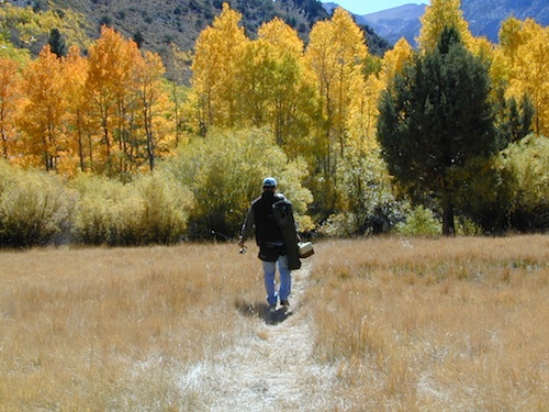
 This hidden gem is a hike-in only lake – and well worth the effort. A somewhat short hike, great ridge line views to the east, although the last half mile of this route is a doozie (moderately strenuous).


