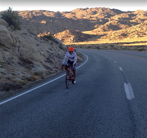
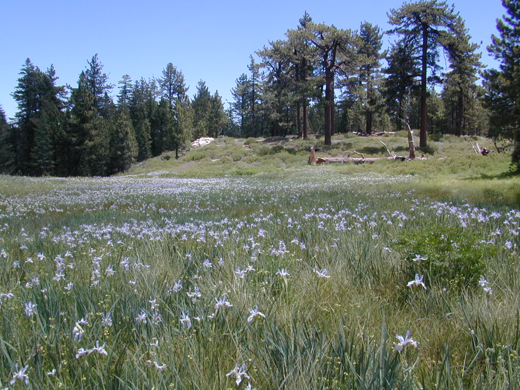
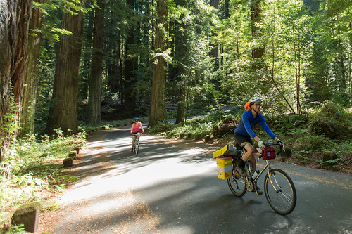
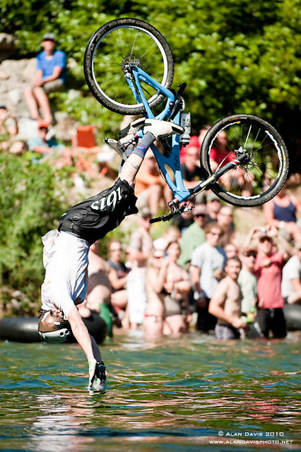
Butte County Bicycle Ride Chico Wildflower Century Ride
Bike riders can enjoy the hilly Wildcat 100 & 125, the traditional Wildflower 100 & 65, the Flatflower 60 & 30, and the Childflower 12. Wildfest pre-ride party.
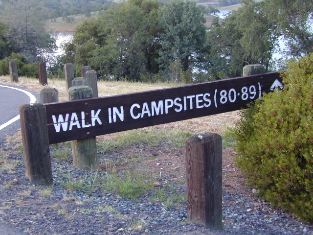
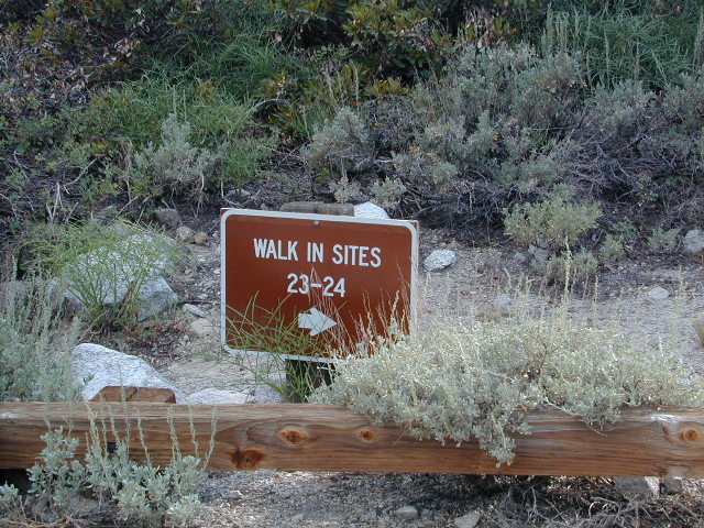
Below are developed campgrounds in California that have walk-in camp spots available. Vehicles are parked and you must carry your gear into the camp site (usually a short distance, but can be up to a half mile).
California Campgrounds with more than a 1-mile trek are not included in this list below. Areas such as – Catalina Island, Crystal Cove SP, Angel Island SP, Point Reyes National Seashore, indeed have many hike-to camps, but most are measured in miles (one way).
walk in campsites are perfect for –
people who wish not to see cars @ camp
people who prefer less noise while camping
physically fit folks, who want exercise
backpackers, who plan to hit the trails soon
avid hikers, who may be out day hiking
cyclists, just passing through
mountain bike campers
one nighters, travelers who only stay one night
late comers to the campground
(hint: these are usually the last campsites to fill up)
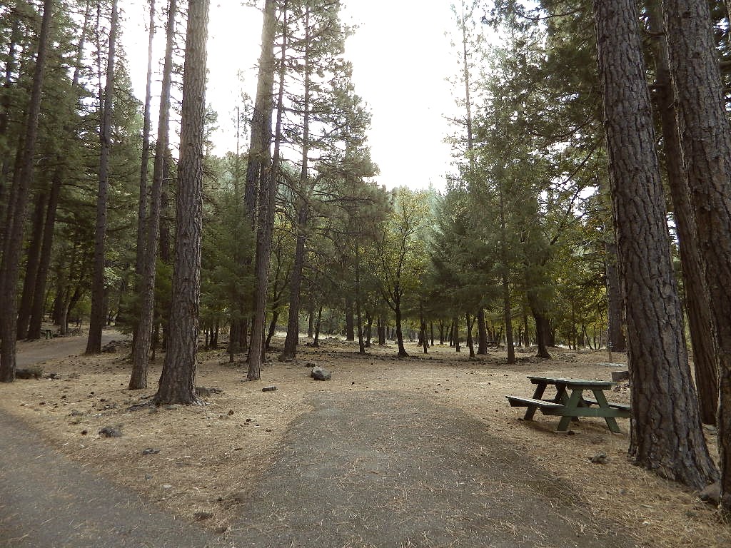
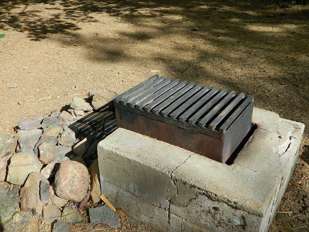
Walk in campsites are often located away from car campers & RVs. Some camp sites may have more privacy, tucked away in trees, while others have shared community area with fire pits and/or barbecues. All camp sites will have picnic tables and a some kinda toilet nearby. Bear boxes may be available for storing food properly. Sharing these food storage boxes with neighboring campers is common practice.
Campgrounds with walk-in sites range in elevation from sea level marshlands to high altitude alpine lakes. Most of these camps listed below are located inside developed campgrounds with overnight fees. Many are small campgrounds, while others are large hubs of activity. Some may be smaller campgrounds, with just a few camp sites. The most popular places can be reserved, with the links provided.
Many parks can also have day use fees, so know where you park and what time span is allowed. Ask the campground host if needing assistance. Some campgrounds lock their gates at sunset and do not permit entry at night. Others may not allow campers to check in anytime after sundown. Know their rules before you make reservations.
If you plan on not making camp reservations; make sure to have a plan B or C choice camp – in case your desired campground is already full. Many popular destinations can fill up fast (by noon in the summer).
Spacious Camp @ Aspen Grove Campground, Eagle Lake, CA
Niagra Creek Campground, OHV 4×4 trails, Stanislaus NF
North Battle Creek Reservoir, PG&E Camp, West of Lassen North Grove Campground, Calaveras Big Trees State Park
Southwest Walk-In Camp, 6700′ elev @ Lassen Volcanic NP Squaw Leap Campground, San Joaquin River, Auberry CA Stillwater Cove Regional Park, N of Fort Ross, Sonoma Coast
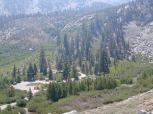
Table Mountain Group Camp, Bishop Creek Canyon, Inyo NF
Tahoe National Forest
Donner Area Camping Lakes
NFS 530-265-4531
Carr Lake Campground 10 miles north of Highway 20 6,700′ elev 5 walk-in campsites
Rucker Lake Campground 6 miles north of Highway 20 5,462′ elev 7 walk-in campsites
Sterling Lake Campground 9 miles north of Interstate 80 7,000′ elev 6 walk-in campsites
Toad Lake Walk In Camp, PCT @ Shasta National Forest Tuolumne Meadows Camp, Yosemite National Park
(reservations & wilderness permits required)
Walk in campgrounds are considered ‘tent camping‘, as opposed to ‘car camping‘, which is literally camping next to your vehicle. This type of hike-in camping may also be referred to as ‘trailhead camping‘, as many ideal hikes begin at these prime locations. Boat-in, bike-in or hike-in camp sites are also available at some of these locations.
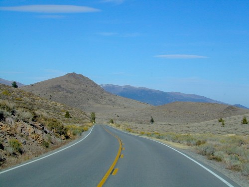
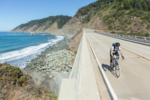
A summer tour of the California Alps in a High Sierra 129 mile long cycling course. This is one of the premier cycling events – held for more than 30 years!
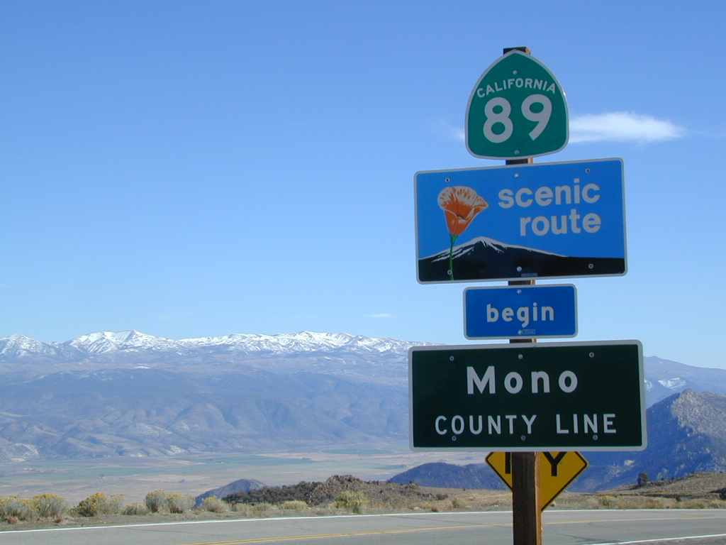
Markleeville CA & Monitor Pass (Hwy 89) are south of Lake Tahoe, connecting US Highway 395 to the upper alpine heights of the Sierra Nevada mountains. Car camping spots and backpacking in this region are located near the aspen groves, lakes, creeks or pine forest.
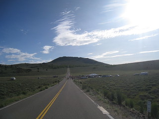
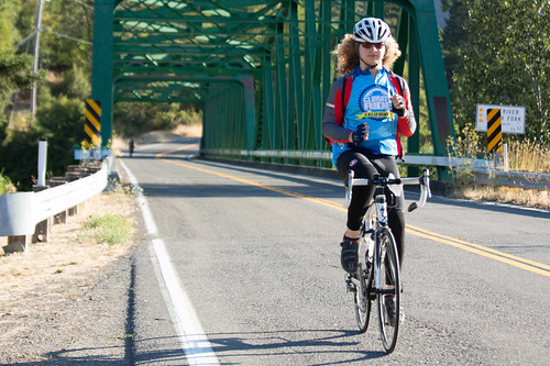
The annual Century Bike Ride is held each year in the shadows of Mount Shasta & Mount Lassen. This rural event, located in the volcano lands of California, is limited to 500 riders. Early registration is strongly suggested. Pancake breakfast before the race & a big dinner afterwards.
200K, 100 Mile, 100K, and 25 Mile Rides
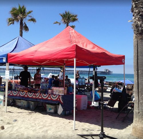
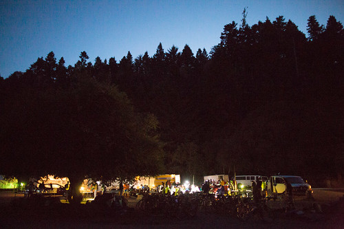
Event will showcase local farm products like beer, beef and wild rice. Live music, local artists will have displays.
Starting in 2014 Death Valley National Park announced that there will be NO sporting events of any kind held within Death Valley National Park, so this particular event has been relocated to the high desert region of Reno, Nevada
Claimed as the “Toughest 48 hours in Sport”, a 508-mile bicycle race revered the world over for its epic mountain climbs, stark desert scenery, desolate roads, and its reputation as one of the toughest but most gratifying endurance challenges.
*NOTE: moved from the month of October to September
This cycling event has now morphed into multiple events at various locations.
Green Fondo, California
Annual charity bike ride where folks ride a few hundred miles over days, learn about clean energy, support a great cause, and have fun cycling. Bike route changes every year.
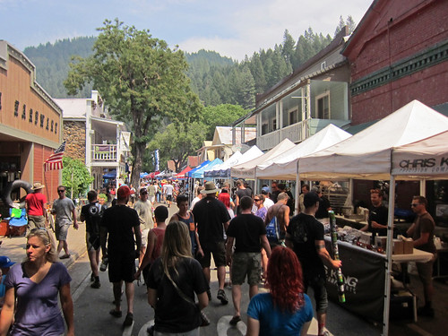
The very busiest weekend to visit the Downieville – Yuba River canyon region, so consider yourself warned.
Bicycle Expo & Street Fair on Saturday and Sunday. Live music & dancing. Big Air River Jump, plus, race cross country style or the infamous Downieville Downhill. Shuttle service available.
One of the biggest mountain bike events on the west coast. Located deep in the heart of Northern Gold Country, along the Yuba River & historic Highway 49. Camping options available in every direction. The small historic hotels book up well in advance.
Blue Lake in Modoc National ForestHiking Lake w/ Loop Trail in far Northern California
Blue Lake
Modoc National Forest
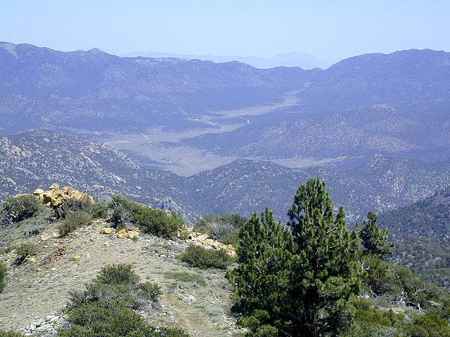
When you really wanna get away from it all, take a week off and head up to Modoc – the top northeast corner of California, where the volcanic mountains line the Great Basin. The population is minimal, cattle are abundant and the campers few. Even in mid summer, this ideal lake campground rarely fills up.
Jess Valley Road leads east off US 395 @ Likely, CA – 16 miles back to this hidden gem.
Headwaters to the Pit River.
NFS Campground is shady, well managed, and spread out on the eastern slope w/ numerous paved loops. Tent campers, cross country cyclists, truck campers w/ canoes, SUV families, motorhomes with kayaks and kids.
Modoc Map
Blue Lake Campground NFS
• Elevation: 6,050′
• Number of Sites: 48
• Vehicle Accessibility: 32′ RV
• Camp Fee: Yes
• Campsite Reservation: No
• Water: Piped
• Length of Stay: 14 Days
• Season: May –October
• Trailhead: Lake Loop
• Boat Ramp: Yes
Group Camp Facilities (by reservation only)
Modoc NF Warner Ranger District
@ 530-279-6116
Lava Rock @ Blue Lake Loop, in Modoc County, CA
Blue Lake National Recreation Trail
Right next to camp: A pretty much perfect LAKE LOOP (1.5 mi) hiking trail is worth a serious stroll; footbridge, wildflowers, fishing spots, minimal hills, lava rocks, and awesome scenery. Plenty of wildlife can be seen, including butterflies and bald eagles. Trail is shaded by tall white fir and ponderosa pine trees. Trailhead is located at the Day Use parking lot, w/ paved boat ramp, dock, and picnic area.
back roads
boating
camping
canoeing
fishing
hiking
kayaking
mountain biking
picnicking
swimming
stargazing
wildflowers
wildlife
NOTE: not every CAMPSITE has a LAKE VIEW
Certain campsites are adjacent to the lake; some are set facing a meadow (Autumn w/ aspen groves), or the alpine forest w/ deer grazing. Perhaps an inner circle (interior) campsite, for those who like to be close to bathrooms and piped water. Large families will love the abundance of camp settings and accommodations.
Paved Loop Plenty of Vault Toilets Piped Water Recycles & Trash Service
Large Campsites can accommodate Motorhomes
no paved camp stall
no hook-ups
no dump station
no cell phone signal
popular lake camp for motorhomes
When driving a large RV back in here, be courteous of other campers. Nothing sucks more than driving a long distance to the boonies, to arrive at camp just before dark and annoying everyone else already there.
Those needing to drive the campground loops (more than twice) looking for the biggest, levelest, best camp site – and burning $10 in gasoline doing so, should consider walking in.
Park that beast (near boat ramp area, before the camp entrance). Get out and walk the hills and loops, BREATHE & relax – prior to a choosing camp site.
Unhitch any tow vehicles; use that to scout out your perfect spot, if you cannot hike it. Trailers and large motorhomes will find this place ideal, but getting the right camp, can make all the difference.
Paved Trail around Campground
The wildfire: BLUE FIRE burned this region in 2001, but it is lush and green again (2019). Northern California gets some real weather. Rain and snow, more than half the year. The campground closes annually due to snow.
Kayaking is best done in the morning, cuz wind picks up in the afternoon. Canoes can launch at boat ramp, or at shoreline from trails near campsite.
Hiking trails can be found all around lake and campground. Wilderness access can be found at South Warner trailheads within a short drive from the lake.
Cyclists also love this camp, as it is located near a major highway and is a perfect place to really relax, soak in the scenery and get some quiet-nights sleep.
South Warner Wilderness is close by, driving distance; accessible by graded dirt roads. Signage is decent.
Modoc Forest Road #64 is a through-route, across the lower South Warners – 40
miles connecting to east side of the mountain, at Eagleville, CA.
Dirt Roads are suitable for trucks w/ trailers. SUVs and rugged passenger cars are okay. Motorhomes are not advised on this route. Washboard conditions are typical. Winter closure on this route is common.
MODOC RD 64
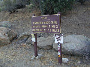
Several miles away from Blue Lake, 2 rustic trailhead campgrounds are located back this way – East Creek Campground & Patterson Campground. Less than 10 camp sites each, equipped w/ horse stalls, vault toilets and maybe piped water. Trailhead parking for backpackers. No RVs!
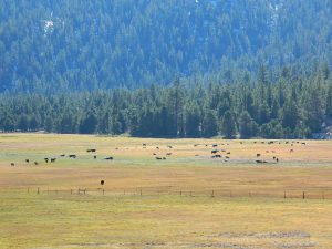
Autumn colors w/ aspen groves. Open, large meadows and mature forests w/ wildfire scars. Cattle can be found grazing all around, many cattle crossing.
Minimal primitive camping options, along road sides. Campfire permits required. No camping within one mile of a developed campground.
Modoc is Cow CountryDay Trippin – Out exploring Modoc Road 64 (and cutting firewood)
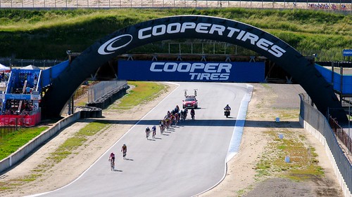
Life Time Sea Otter Classic
Mountain Bike Festival in the Monterey Bay area.
International racing, beginner to pro. XC, downhill, dual slalom, mountain cross, short track, trials and jump contest.
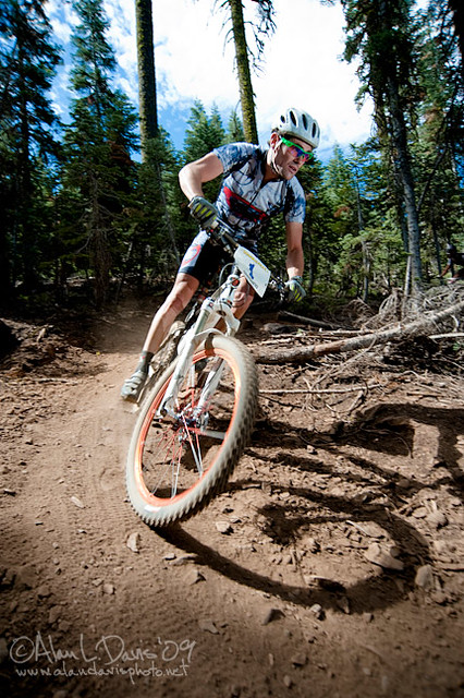
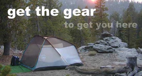
Mountain biking has become a popular sport especially in California. We’ve got so much great terrain, so close to home (the urban sprawl), that this outdoor hobby is bound to get you back in shape, fast. Start slow to avoid burnout and injury. The weather is awesome, just go. Plan a camping weekend & bring your bike!
Obvious (but humorous) information on bike riding or mountain biking in Sequoia NP. Upon doing research for this page, noticed a heck of a lotta folks typing in the phrase
Sequoia National Park Bike Trail
I laugh…. but plenty people are searching for bike trails near Sequoia groves, inside the most protected of lands, the National Parks.
Firstly, most National Parks in California do not allow bikes on hiking trails. The Sierra Nevada has NO National Parks that allow mountain biking on their trails. (official words are: Biking is allowed on the main roads in the parks but is prohibited on park trails.)
Yuk. Who wants to ride on asphalt in the wild?
Yosemite & Lake Almanor both have nice paved bike paths. But you may want dirt trails for biking. Be it mellow mountain biking on forest roads, or the hard core Downie-droppers.
California Wilderness Areas are the same rules, but even tighter. So that brings us to Sequoia National Forest. Yes, indeed California National Forests allow mountain bikes on most trails, in most cases. The popular trails might even get small brown signs showing bikes that are allowed.
Second, there are no bike rentals inside Sequoia National Park (or Kings), so you must bring yours in, or better yet ride in. I dare you. Although you cannot take said bike on a dirt trail, so you’ll need to stick to pavement only. The main highway (Hwy 198) has got to be one of the curviest, narrow, fern lined ridge routes of the region. You would be a fool to ride this area, as a senior citizen w/ a 40 foot motorhome or a speeding SUV may take you out on a curve. Seriously! You better be in great shape if you plan to descend into Kings Cyn. That route is just as dangerous if not more so. These 2 National Parks – Sequoia & kings, both get a lotta traffic. Year round.
Thirdly – here is the biggest tip of the whole topic. In between Kings Canyon & Sequoia National Parks is a slice of Sequoia National Forest land. (Meaning you can ride bikes or mountain bikes here) Most call it Big Meadows Road # 14S11 & there is plenty camping all down this road – 12 miles with spur roads in every direction. A nice chunk of forest with rocks, meadows, camps & dirt roads. Granite & great scenery. What more could you ask for? More forest roads than single track trails tho and please watch for equestrian traffic. The dead end of this road leads out to 2 Wilderness areas, so be prepared to navigate with a good map in hand. No bikes are allowed in the Wilderness, remember?
at Indian Valley, Northern Sierra Nevada mountains
also known as – Taylorsville County Campground Taylorsville Community Campground Taylorsville Park Campground
Beautiful North Sierra Nevada. The rural country life is out here… in the mountains of NorthernCal. Cattle ranches, a few sheep, grazing deer, big old barns, bike races and much residential. Taylorsville is a very small town, on the edge of the Indian Valley. Right across the valley from Greenville and Round Valley Reservoir.
elevation: 3200′ camp sites: 32 piped water near camp: yes toilets: flush showers: yes fee: yes season: May-October
Easy Walk to Town – Taylorsville, CA
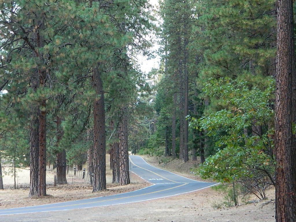
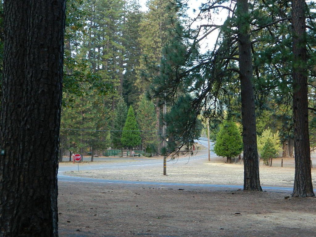
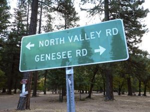
The wooded campground is located at the intersection of North Valley Road, Genesee Rd and Arlington Rd – a few miles off the main highway 89.
Looking for a quiet place to tent camp in between Quincy & Greenville? then this is it. The best developed campground option in the whole region. Closed for winter months – cuz it does snow pretty good up here.
This shaded tent campground loop is on a hillside; across the street from the small rodeo grounds, the community park w/ picnic areas, tennis courts and a small RV park. Campground host located behind the bathrooms.
Nearest local laundromat in nearby Greenville, behind the main grocery market.
bathing… would be nice
Flush toilets and showers, affordable overnight prices, plus ideal walking-hiking-biking location make this a special campground worth mentioning!
Lake Davis Loop is a 20 mile circle around the lake. Drive or mountain bike route. Scenic drive on dirt roads, or an easy bike ride. Average ride time 2 hours for biking.
A flat, easy loop around Lake Davis is best in summer months, as snow usually closes this area in winter. The whole route is a mix of paved, dirt and gravel road. There are picnic areas along the way, lake views, bird and wildlife viewing, wildflowers.
Numerous primitive camp sites and secondary dirt roads fork in various directions, off of this main loop. Volcanic ridges line the west side of the lake, dense forest and seclusion can be found all around. Bald eagles fly overhead and wild life is abundant.
boat
camp
fish
hike
mountain bike
stargaze
wildlife
CROCKER GUARD STATION
Crocker Station is for rent and reservations are required. This wooden 2-story home was built in 1912 for Forest Service personnel, and later staffed as a fire station until the 1980s.
Situated at 5700′ elevation, its alpine beauty and cooler temps make it a much sought after, especially in summertime. Located a few miles from the lake and 10 miles northeast of Portola, California. There is a small campground next door called Crocker Campground. A dirt road access to Crocker Meadow is quickest from lake, but the paved route around is longer.
DIRECTIONS:
From California SR 70 (Highway 70) in Portola take West Street approximately 7 miles to the Lake Davis Dam. Park at the information kiosk and get acquainted with maps and the area info.
Drive or bike the lake loop. Travel 1.7 miles west to Forest Service Road 24N10, travel on that for 8.1 miles until you reach the junction with County Road 112. Then turn east and continue around the lake, past the Grizzly Campground a half mile, turn South on Country Road 126 and continue back to the dam.
shop online with the links below and help keep this web site alive
maps, books, gear
outdoor person gift list
Over the decades Total Escape has seen many affiliate programs dissolve, but Amazon has always held true, which is why we still link to them. Follow links to the new shop pages!


 Walk in campsites are often located away from car campers & RVs. Some camp sites may have more privacy, tucked away in trees, while others have shared community area with fire pits and/or barbecues. All camp sites will have picnic tables and a some kinda toilet nearby. Bear boxes may be available for storing food properly. Sharing these food storage boxes with neighboring campers is common practice.
 If you plan on not making camp reservations; make sure to have a plan B or C choice camp – in case your desired campground is already full. Many popular destinations can fill up fast (by noon in the summer).


