

- Baja Calif
- Coastal Ranges
- High Sierra Routes
- Gold Country
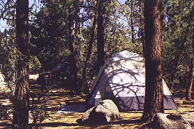
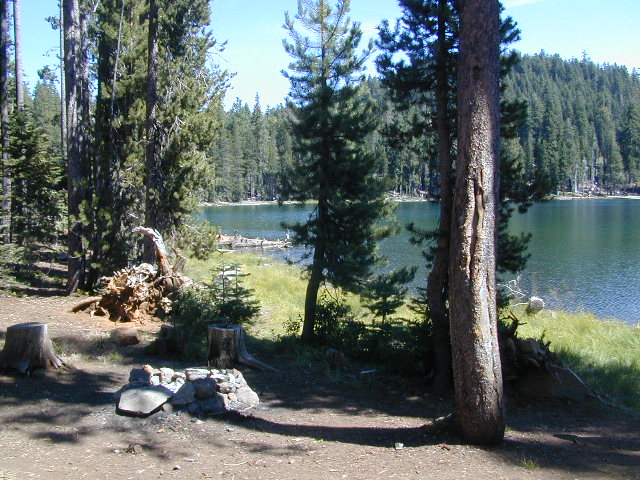
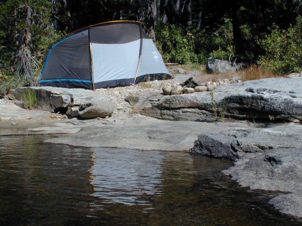
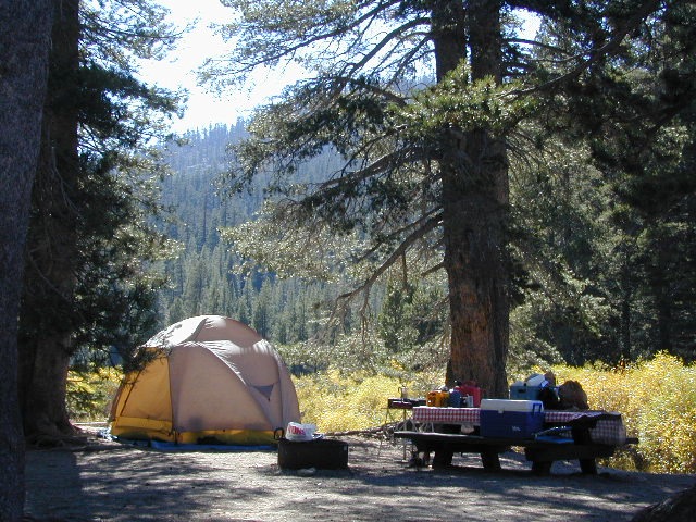
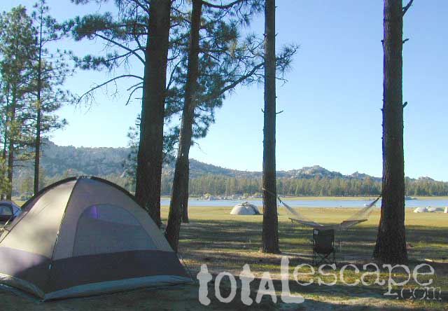
- Lake Camping
- Northern Cal
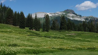
- Sierra Nevada
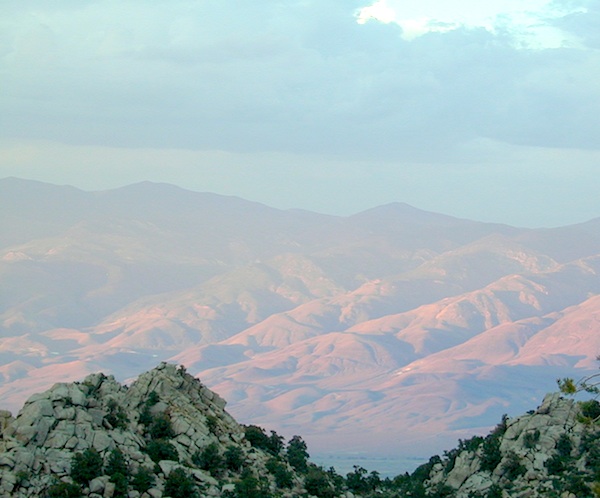
- California Deserts
- SoCal Mountains
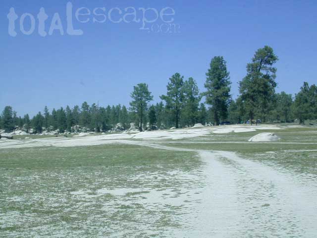
Small campgrounds and secluded camps, accessible by dirt bikes or 4-wheel drive vehicles. Numerous dirt roads, sand dunes and canyons to explore, some with developed campgrounds, other areas w/ primitive camping. Self sufficient campers will enjoy this list.
4×4 camping in California
Okay, you got your 4 wheel drive vehicle dirty, it is now several years old & maybe you even have a scratch or two. Now is the time to finally start using that beast for real off road adventures. The real edge-of-wilderness trips you dream about when your sitting in your cubical wondering what life is really about. Fishing, camping, off roading and enjoying nature, of course!
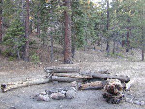
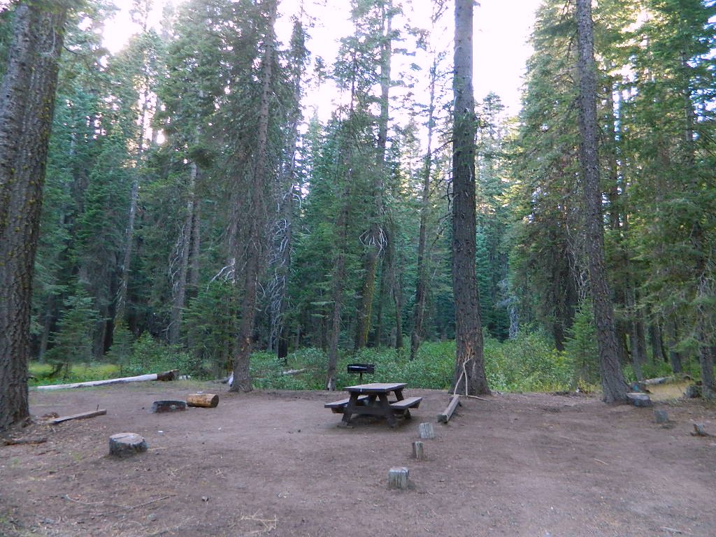
4×4 camping in California is plentiful. California has trails for OHV use – which means ‘off highway vehicle’, that can accommodate your machine. These remote camps are always primitive camp sites, with picnic tables, fire rings & maybe a pit toilet (if you are lucky). You can find total seclusion on these back roads & trails, well away from the developed campgrounds & RV parks.

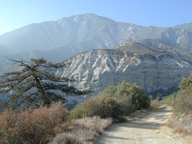
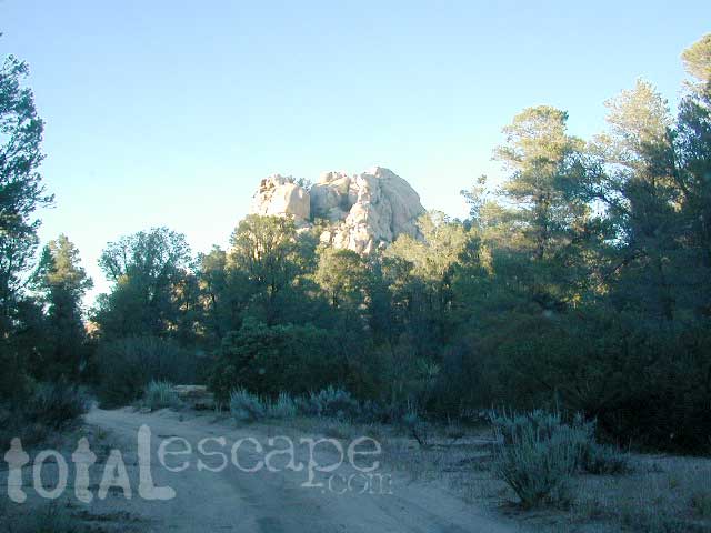
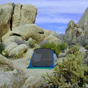
Anza Borrego Desert 4×4 Trails – pretty much everywhere in Borrego desert is off road heaven. Minimal pavement and maximum desert means dirt roads galore, white sandy washes, slot canyons, badlands, wind caves, wildflowers, petroglyphs, boulder outcroppings, old railroad trestles and so much more. The San Diego desert elevations range from near sea level to 4000′ on the eastern slopes of Laguna Mountain.
- Canon Sin Nombre, off the Great Stagecoach Route (S2)
- Coyote Canyon leads to desert gardens and Sheep Canyon
- Mortero Wash to Piedras Blancas & Carizo Gorge Trestle
- Ocotillo Wells SVRA , off road park on Hwy 78
- Pinyon Mountain and The Squeeze
- Split Mountain, south of Ocotillo Wells
- Truckhaven Hills, on S22
Colorado River Camping, California
Havasu Lake California
Picacho Park SRA, near Yuma, AZ
Needles BLM Camping
Turtle Mountain Road, near Needles
Mojave Desert California
Johnson Valley OHV Area
Pioneertown, CA
Kelbaker Road
Mojave National Preserve
The Historic Mojave Road
Dumont Dunes OHV Area
Death Valley
Rainbow Basin BLM
Inscription Canyon
Panamint Valley
Saline Valley Hot Springs
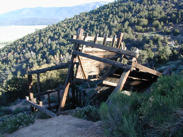
Cerro Gordo Mines

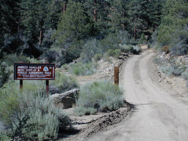
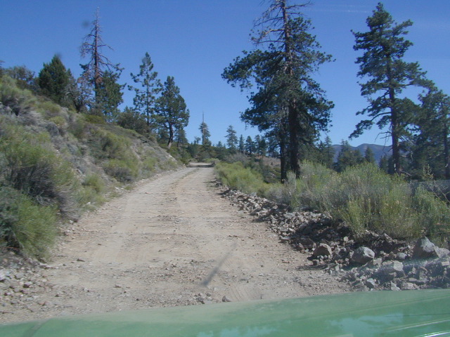
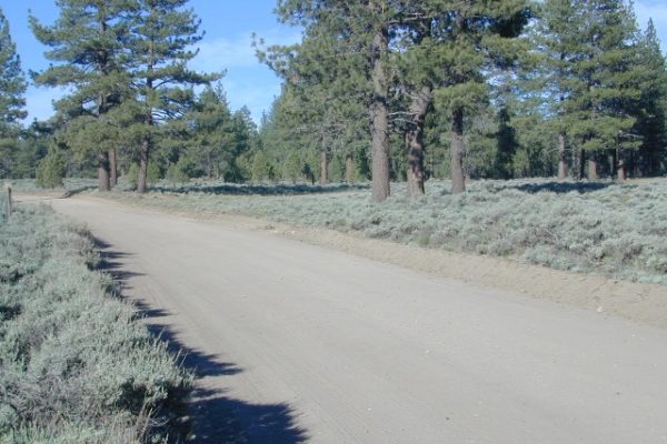
San Bernardino National Forest – has a few trail camps for 4×4 enthusiasts. John Bull Trail (near Holcomb Valley) has one real awesome camp spot with great views over the desert night lights. Holcomb Creek Trail also has a few spots near the creek. Overall this area is somewhat crowded for wheelin’ (especially on the weekends), as the population is so dense nearby.

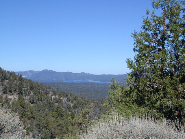
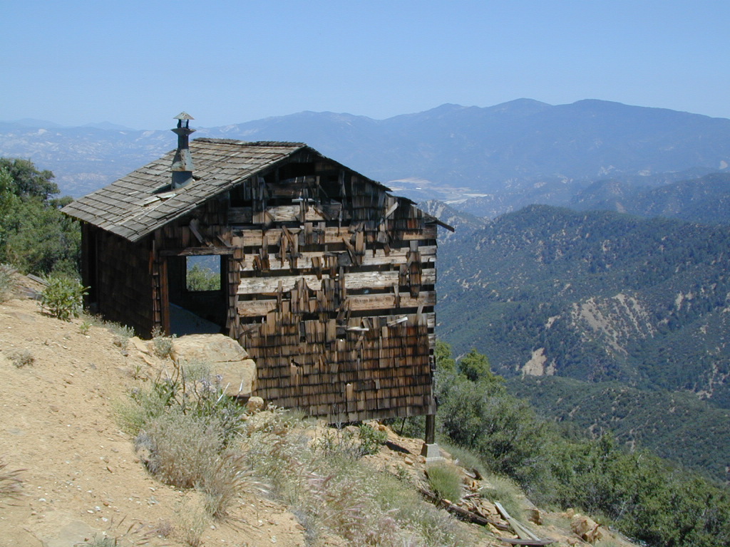
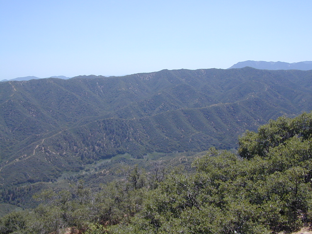
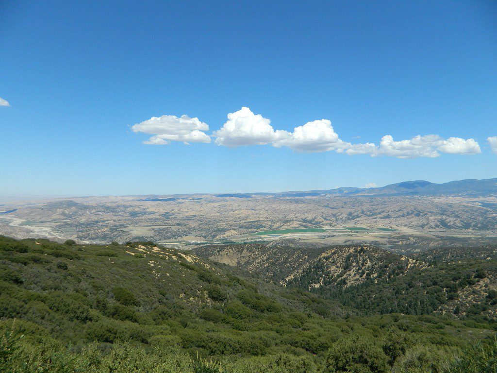
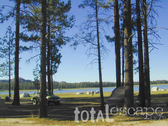
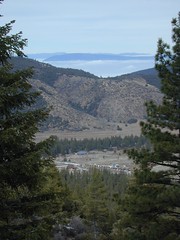
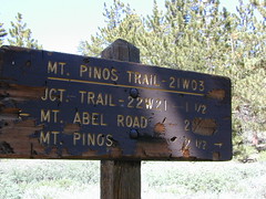
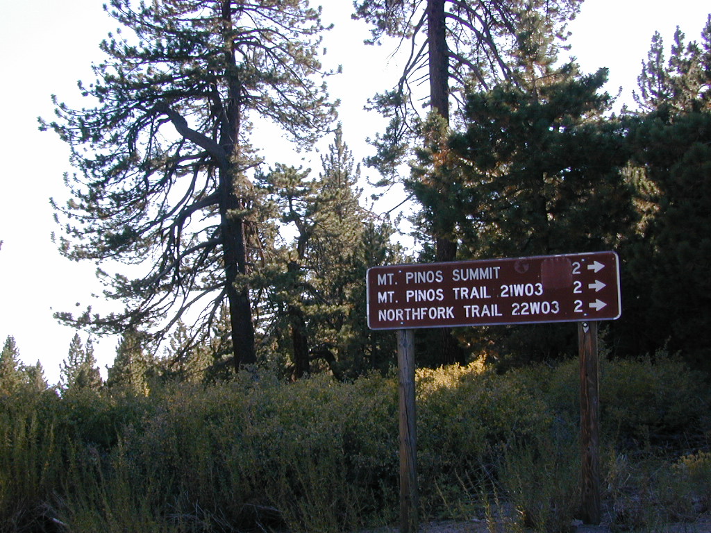
Los Padres National Forest – the most 4×4 camping, readily accessible to Southern California. This is truly the best kept secret for Angelinos wanting an escape. The southern portion of the forests has Tecuya Ridge #9N22, with several camps only minutes from I-5. Cherry Creek 4×4 Camp, with a few other campsites tucked way back in there. Dome Springs Campground is located off Lockwood Valley Road, while Nettle Springs Campground is over near Highway 33.
Out west, Cerro Noroeste Road has the Blue Ridge w/ Marion and Caballo Camps. Red dirt high desert wash Quatal Canyon #9N09, is right next to the Chumash Wilderness.
Hwy 166 leads out to Rock Front Ranch, a vast area of steep hills and caves worth exploring; Santa Lucia has mucho camping on dirt roads. Miranda Pines towering above the fields of Santa Maria.
2 OHV parks in the Los Padres Area: Hungry Valley & Ballinger both serve the off road crowds and have ample facilities, large camp spots to accommodate RVs and trailers.
The northern section of Los Padres (near Big Sur) has plenty of dirt roads & primitive camps, but none are truly 4×4 routes, as most can be accessed easily with a passenger car. See more on Big Sur Camping and Big Sur BackRoads.

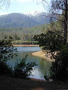
Sequoia National Forest – Southern Sierra Nevada area has 4×4 camping right along the Kern River @ Keyesville, at the junction where Hwy 178 meets Hwy 155. Also, further up the river, Forest Rd#22S82 leads to primitive Camp 4, where there are several spots near granite pools, that can only be accessed by 4 wheel drive. The Big Meadows area also has some gorgeous forested back roads worth exploring. Kern Plateau has hundreds of miles of OHV trails near Troy Meadow.
High elevation Monache Meadows is a prime fishing & hiking destination on the south fork of the Kern River, accessed by an authentic “Jeep Road”.
Chimney Peak Backcountry Byway also has a couple of campgrounds, way back in the drier pinyon pine forest. Chimney Creek Campground and Long Valley Campground – although a huge portion of the loop road is now impassible, so get a good map and talk to the local rangers, before you venture to these parts.

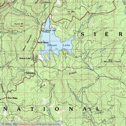
Sierra National Forest – central Sierra forest has plenty of 4×4 routes that lead to granite rock gardens & mighty fine, secluded, forested camp sites. Gorgeous Red Lake & Coyote Lake are popular spots that require some technical skills & much patience to access. Both are frequented by fishermen & horses. Bald Mountain trailhead has awesome creekside camps on Rock Creek. Up near Wishon Reservoir is the dead end trail of Spanish Lake. Onion Springs Meadow is awesome back behind Edison Lake. Near the granite wonderland Courtright Reservoir is the infamous Dusy Trail signed #28E34 (aka #7S32, the Dusy Ershim), second only to the Rubicon Trail for high Sierra granite.

Stanislaus National Forest – camping in the Crandall & Niagara Creek OHV section of the forest, right off Hwy 108. Elevations range from 5000′-7000′. Higher up on the other side, Levitt Lake (access road near Levitt Falls) on the east end of the mountain range, east of the Sonora Pass sign.
El Dorado National Forest – has an area called Rock Creek for off roading in the Gold Country. Plus the ever popular Rubicon Trail starts hear (near Georgetown) & leads 20 miles across the High Sierra Nevada granite slabs to Lake Tahoe. Tons of camping back here in the National Forest.
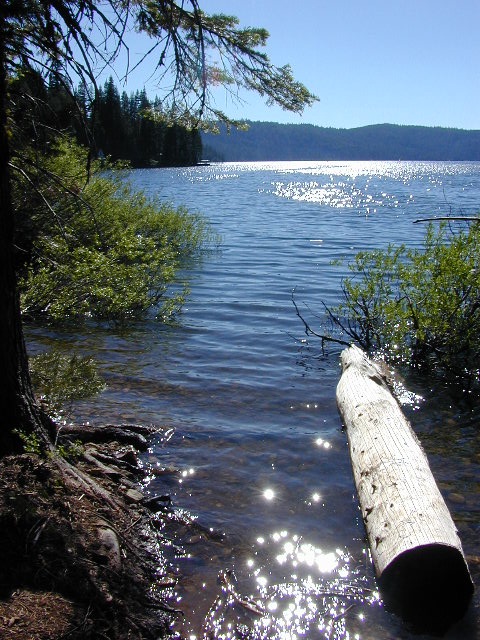
Lakes Basin Recreation Area – Northern Gold County, just above the Yuba River. Gold Lake has many campable lakes. The area sees a lot of snowmobile traffic during winter snows, but warmer months are the time for fishing and camping. Most of the big lakes have small developed campgrounds, some are minimal, or primitive style camp sites on dirt roads without facilities. Maybe a picnic table at most.
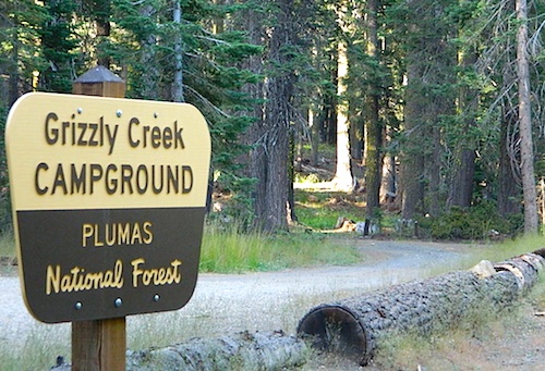
Smith Lake is a place that fishermen and 4×4 enthusiasts love. It is small, secluded and kinda hard to find. You’ll need a good topo map of the region. Situated on the border of Tahoe and Plumas National Forest off the Gold Lake Hwy (aka Road #24). The PCT cuts thru this Lakes Basin area w/ Sierra Buttes There are dirt roads and off road trails leading deep into the backcountry from the Packer Lake and Gold Lake areas. Snag Lake is a free camp right on the main road.

Snake Lake Campground has numerous dirt roads and trails leading out to Butterfly Valley. Horse campers use this popular camp spot, so no loud vehicle activity inside the campground. No shooting up the bear locker either!

Milsap Bar is a long, narrow 9 mile dirt road which leads from Bald Rock Road in Berry Creek, down to the Middle fork of the Feather River. NFS Campground on the big river without fees!
China Gulch Road #60, a very long and winding dirt road, leads from Oro-Quincy Highway down to the Little North Fork. Although the NFS Campground is closed due to a landslide (1 mi before camp) there still is primitive camping at the second bridge. Be warned: the campsite at the first bridge is often over run with giant, juicy slugs at night.

Out there east of Quincy, somewhere off the historic, long and winding La Port Road, a few decent 4WD trails thru forest, access ridge lines or the big river below. Great fishing, amazing scenery & very secluded.
(north of La Porte Road)
– Feather River access
@ Cleghorn Bar Campground, 4 campsites (Road #23N24)
@ Stag Point Campground, 5 campsites (Road #22N80Y)
@ Hartman Bar NRT to Dan Beebe Camp (Road 94 to #22N42Y)
(south of La Porte Road)
– Poker Flat Camp near Sawmill Ridge & Table Rock (Road 800)
Sly Creek Reservoir is a super popular NFS Campground with trailheads and dirt roads leading deeper into the forests. The camp area is a favorite amongst the off roaders and dirt bikers that migrate up to the mountains for the weekend, to escape from the heat of the summer in the Sacramento Valley. LGVR is another body of water back in these parts and is more scenic and peaceful than the Sly Creek.

This coastal range is dirt road heaven, graded dirt roads, ridge routes, hiking trails, equestrian trails, big lakes, small lakes, creeks, meadows, forests, wilderness and 4×4 routes. Snow can be the most fun and challenging for the 4WD crews. Mud, snow, some road closures seasonally.
2019 WILDFIRE: Ranch Fire – wiped out most of this area. South of Snow Mountain Wilderness, plenty off road trails leading to peaks and ridge lines. Numerous small campgrounds to choose from, trailheads everywhere, acres and acres of wild mountainous areas, and a lake resort nearby. Lake Pillsbury is kinda the center of all the 4×4 action in Mendo.
Fouts Springs – Numerous NFS Campgrounds catering to the off-road types a portion of the year, but mostly quiet other times.

see also – OHV areas & SVRA parks
![]()
And yes, no question about it – you WILL NEED printed hard copy map to get to these great spots.
[This list will continue to grow as we unravel all the decades worth of notes & photos. Stay tuned.]

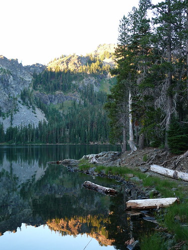
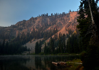
 Salmon & Scott Rivers Ranger District


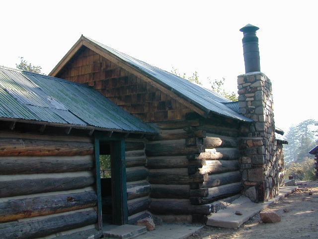
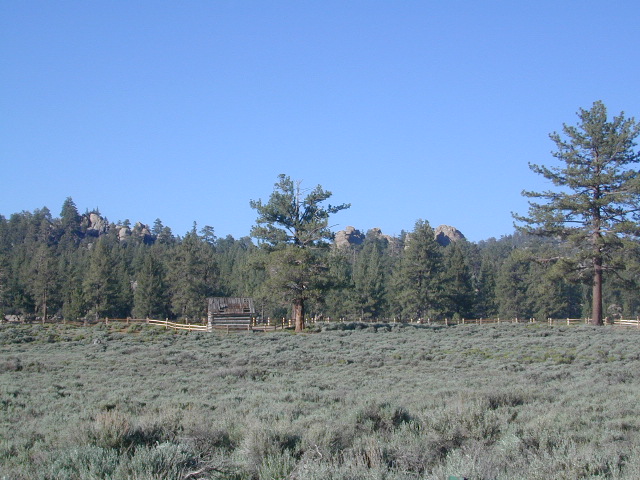 Holcomb Valley has a historic cabin to see. Numerous old mines exist around this area. Nearby Gold Mountain is a popular 4WD route.


 Always check for local fire conditions at nearest
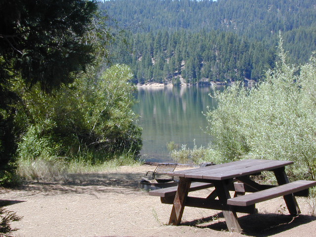


 Snow is always a factor in mid to high altitude towns with road conditions being unpredictable with each mountain range and each micro-climate. Winter months range from late October to May, so be warned. Above 3000′ elevation usually gets some snow. Serious snow above 5000′. Some High Sierra Passesdon’t open until JULY (Yosemite Hwy 120 & Sonora Hwy 108). Carry tire chains or have 4×4 to travel safely on snowy roads. Guard rails are seldom around every curve.


