Tag Archives: Los Padres National Forest

Matilija Wilderness

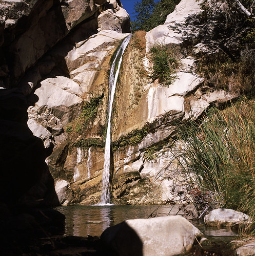
Upper Matilija Fall

Matilija Wilderness
Matilija Falls

Matilija Canyon
North of Ojai, California

Los Padres National Forest Map

Established 1992 by the Los Padres Condor Range & River Protection Act.

29,600 acres
Ojai, CA

Los Padres National Forest
Ojai Ranger District
805-646-4348

USDA web link – Matilija Wilderness

hikelospadres.com/matilija-wilderness

The coastal mountain range wilderness located approximately 12 miles north of Ojai, CA. Drive 5 miles N on Highway 33; left at the Matilija Canyon Road turn off.

Chaparral is the prevalent vegetation with poppies plentiful in springtime. Cottonwood, alder and maple trees dominate the canyon. One trail has trail campsites along it and follows 9 miles of the North Fork, gaining about 3,400′ feet in elevation as it makes a north-south journey, and leaving the Wilderness at a parking area on Cherry Creek Road. This road is open seasonally from Aug. 1 to Dec. 15

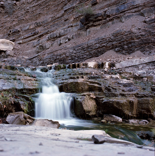
small water fall

This whole area burnt in a recent wildfire and much of it may be closed off to the public.

Matilija Canyon Trails & Trailheads

Landowner closes popular trail to Matilija Falls (2010)


View Larger Map

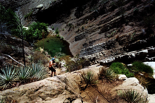
aaron climbing

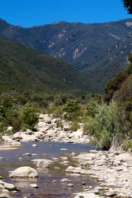
Matilija Creek Bed

Valle Vista Campground

Valle Vista camp

Los Padres National Forest; Valle Vista Campground

The place is gorgeous with wildflowers, after a good wet winter. Snow is possible at this location.

Way out on the edges of Cerro Noroeste, facing north. This paved route was recently renamed Hudson Ranch Rd. Access is at a wide spot / shoulder, on a curve. A steep drop on a dirt driveway. Large RVs and motorhomes should attempt this rutted, dirt hill only after walking it

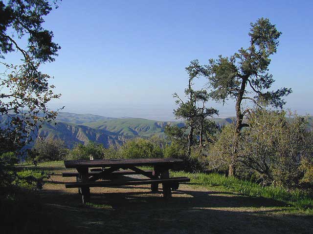
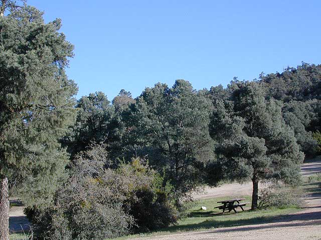
This wide-open space site is a small campground, in Los Padres National Forest –  with amazing views over the California Central Valley. Oak trees and pinyon pines. Windy days, Winter or Springtime is your best bet for a non-smoggy day.  The Sierra Nevada mountains range can be seen across the valley, 100+ miles away. On rare days, snow capped Mount Whitney can be seen from this location. New bathroom vault toilet built 2011.

  • dirt bike trails

  • earthquake fault

  • hiking

  • camping

  • dogs off leash

  • motorcycle road

  • night skies

  • sky views

  • stargazing

  • views

  • wildflowers

NFSlogo


slope
Best views on windy days. Fog and smog are common at this location.

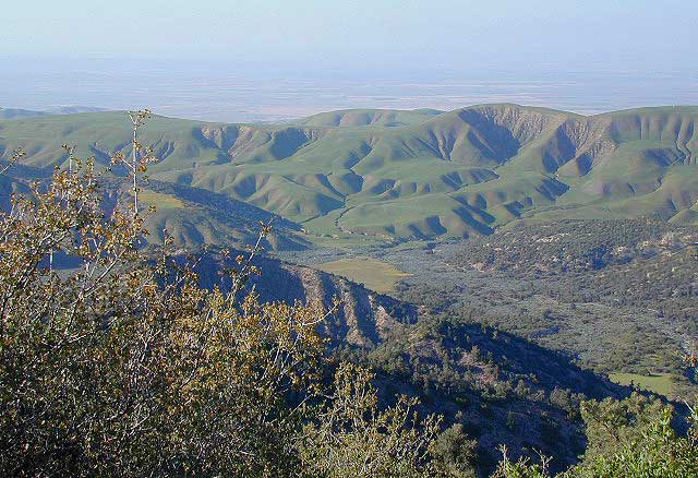
Springtime Green Hills
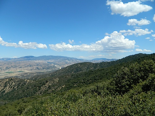
Springtime Green Hills, looking north to the Central Valley

wildflower

nearby towns:

Mount Able
Mount Able (Cerro Noroeste)

San Rafael Wilderness

Sierra Madre Mountains
Cachuma Lake to Cuyama Valley

Sierra Madre Mountains

197,380 acres
Central Coast Foothills
Los Padres National Forest

NFSlogoNorth of Santa Barbara, CA
East of Santa Maria, CA
South of New Cuyama, CA
West of Ventucopa, CA

San Rafael Wilderness is otherwise known as the Santa Barbara backcountry. The Sierra Madre mountains and San Rafael mountains make up the this chunk of wilderness, a vast open space near the coast – which extends from Lake Cachuma to the Cuyama River Valley. This is the southern ridge line along Highway 166, with few pine trees, mostly oaks, leading west to Santa Maria River.

hikerFigueroa Mountain and Lake Cachuma are to the south near Santa Barbara. Vineyards and wineries skirt the western hills of Santa Maria, cattle grazing, oil fields and agriculture line the northern borders near Cuyama Valley. Dick Smith Wilderness is just to the east a little bit, spanning over toward Hwy 33.

OHV: better known as off-roading and dirt biking is common in the foothills behind Santa Barbara, as well as on the west side of the San Rafael Wilderness, near Miranda Pine and Tepusquet Road. Numerous small campgrounds on dirt roads are positioned around the perimeter, but no OHV trails lead into the wilderness areas.

McPherson Peak – 5749′ elevation
Peak Mountain – 5843′DSCN5759
Timber Peak – 4764′
Miranda Pine Mountain – 4120′
Wheat Peak – 2436′

trailheads –

  • via Figueroa Road #8N09
  • Cachuma Saddle
  • Davy Brown
  • McPherson Peak, on Sierra Madre Ridge
  • Painted Rock, on Sierra Madre Ridge
  • Santa Barbara Canyon, off Hwy 166

developed campgrounds surrounding the wilderness

  • Davy Brown Campground
  • Nira Campground
  • Cachuma Campground
  • Figueroa Campground
  • Manzana Schoolhouse
  • Colson Canyon (OHV) #11N04
  • Brookshire Springs
  • Miranda Pine #11N03
  • Horseshoe Springs
  • Lazy Campground
  • Wagon Flat Campground
  • Barrel Springs #10N06
  • Alesandro Campground

back road access –

  • Figueroa Mountain Road #8N09
  • Tepusquet Road, off Hwy 166
  • Miranda Pine Road #11N03
  • Sierra Madre Ridge Road #32S13
  • Cottonwood Canyon Rd @ Hwy 166
  • Santa Barbara Canyon Rd, off Hwy 166

indian rock art

Native American petroglyphs can be found in this remote region of Central California, but may require topographic skills, detective work, trekking and at least a full day of physical action.

PigPen Trailhead

Access to ”Painted Rock” on Sierra Madre ridge is hike/bike in only. The dirt road that access these trailheads are rough road and not maintained. High clearance may be needed. This day trip is an all-day adventure and you might want to consider bringing the mountain bike. Just stay on the road, as rangers will ticket for riding in the designated Wilderness Areas.

from the west – If you plan to visit the rock art from the west side, take Cottonwood Canyon (small sign) turn off of Hwy 166. Pay attention to private property signs, cuz the locals are serious about their lands. Keep on driving up the mountain. Above Bates Canyon Campground up on the ridge, turn left, east on dirt road #32S13 – proceed several miles to the dirt parking area at the pig pen w/ locked gated and signed trailhead.

from the east – dirt road hike is about 10 miles (one way) and it starts at the Santa Barbara Canyon trailhead @ locked gated. Rural back road access requires a good topo map. Find Cuyama River @ Hwy 166, take the route on west side of bridge. East of New Cuyama, CA

nearby towns –

Ojai Camping

ozenavalley
Highway 33 Camping Ojai, California

Los Padres National Forest / Ojai District:

campground elev spots veg toilet water notes
Holiday Group Camp 2000′ 8 oaks vault creek group site
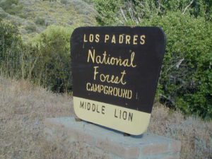
Middle Lion Campground 3150′ 8 oaks vault creek Rose Valley
Pine Mountain Camps 6650′ 6 pines vault no May-Nov
Reyes Peak Camp 7000′ 6 pines vault no May-Nov
Rose Valley Campground 3450′ 9 scrub vault creek Rose Valley Falls
Wheeler Gorge Campground 2000′ 73 oaks pit piped Matilija Creek
Launch @ Reyes Peak Trailhead

Los Padres National ForestNFS

see also –

middle lion campground
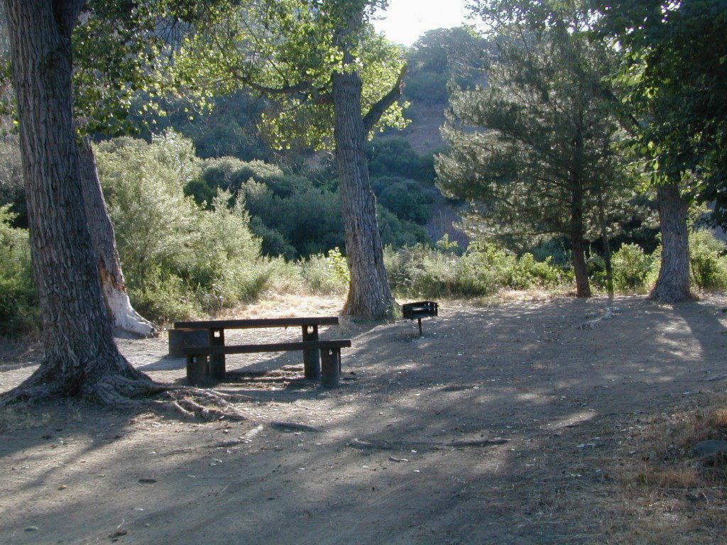
Creek Camping Lion
Creek Camping @ Lion
Piedras Blancas
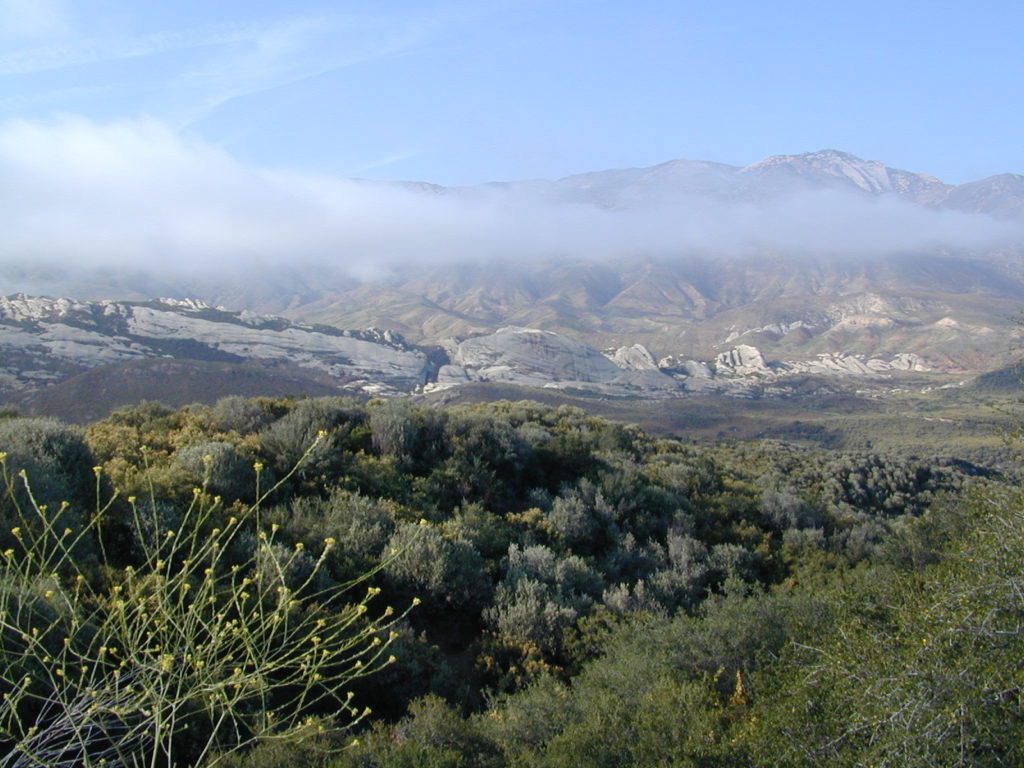
Coastal Foothills and Fog with Piedras Blanca backdrop

primitive camp sitesFREE CAMPING
additional NFS camps in the region:

Chumash Quatal Canyon
Chumash Wilderness access via Quatal Canyon

Open Camping in Quatal Canyon
Hwy 33
@ Ventucopa, California. OHV trails and red dirt canyons; Hike into Chumash Wilderness.

The main road parallels the big wash. Quatal Road #9N09 is graded (annually) and usually passenger car accessible; side routes to camps in the big wash or up any canyons may require high clearance or 4WD vehicle. No services in this canyon at all; Cell service is minmal. Gasoline is somewhere along the hwy (near a pistachio orchard).

Wilderness Areas along Hwy 33backpacking Los Padres

map of the Los Padres region –

Los Padres mountain towns –

DSCN2342

Rose Valley Falls has a small campground at the trailhead


Reyes Peak

CA 33 N
Ojai Camping
North of Ojai, CA

Camp out among tall pines, well above the coastal fog.
Los Padres National Forest Road #6N06

Ojai, CA – NORTH on HWY 33
a very scenic drive, in North Los Angeles County

Coastal Foothills

Near the Pine Mountain Summit (elev 5080′) on California Highway 33, the small sign only reads PINE MTN and points east, to a rugged side road. By far one of the worst paved roads around.

This Reyes Pine Mountain, should not to be mistaken for the golf course community of Pine Mountain Club, many miles north of here, around the other side of Mount Abel.

This is Reyes Peak, also known as Pine Mountain Ridge “north of Ojai”, on the sorta paved Pine Mountain Road. (Los Padres National Forest Rd # 6N06)
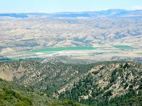
overozena
The view above is from one huge dirt pull out, on the left – over looking Ozena Valley, on the west end of Lockwood Valley Rd. Motorhomes, trailers, off-roaders and hunters like this as a last minute camp site, very close to the highway.

If your vehicle can endure 9 long miles of poor pavement, pot-holed roads, then maybe you can find seclusion back in the woods around here.

Six or more primitive campsites, spread out along a forested ridge line (around 5000′ elevation). Tables and fire rings only. No fees, no toilets. Bring a shovel and plenty water. No pipes, no running water up here.

The scattered camp sites are located far enough away from each other, that the location provides some privacy and still relatively close to town. Some sites are in forested settings, while others have big boulders, but are exposed to wind and sun. Although these few sky view camps are perfect for the stargazers.

Dark night skies can be okay, if the coastal fog stays low. Neighboring Mount Pinos is all paved – usually best choice for RV campers w/ telescopes, who need large areas of flat level ground.
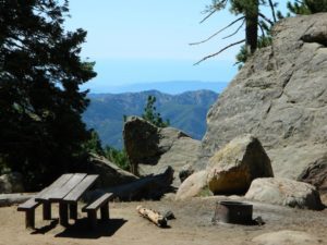
reyespeakcamp

One particular camp site is located at a very decent view spot. Boulders, pine trees and mountain views to the south. Click the image above to expand.

PRIMITIVE CAMPGROUNDS
Campfire permits are required.
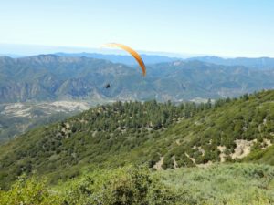
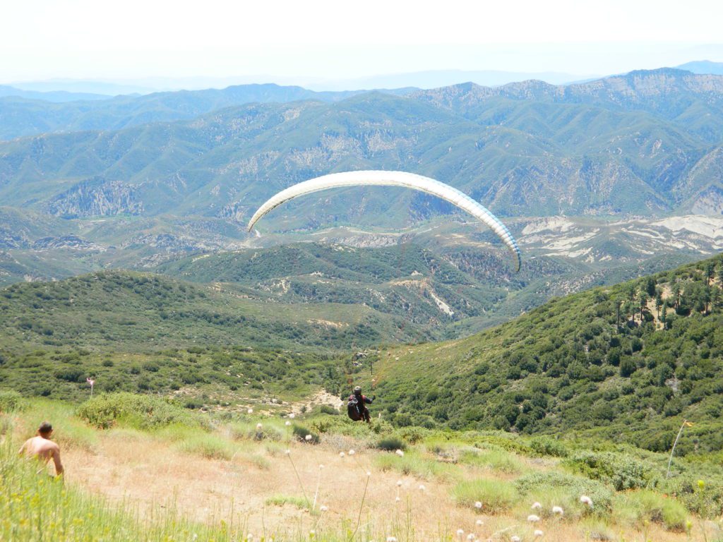
Launch Spot

The end of the road is a top destination LAUNCH spot for hang gliders & para-sailers. Watch them jump on YouTube compliments of DanaMite.

Youtube


The hiking Trailhead for Reyes Peak and the Chorro Grande Trail #23W05 are also at the end of this dead end road #6N06. Reyes Peak Trail leads east, out to 7510′ elevation, overlooking the whole lower Los Padres region – Lockwood Valley, Ozena, Piedra Blanca, Sespe Gorge, Potrero Seco.
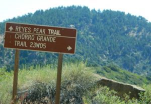
reyespeaktrail

Get outside this weekend. There are no more excuses!

MAPS: Los Padres National Forest Maps

NEAREST TOWNS:

23S01 – Los Padres NF

Big Sur Dirt Roads

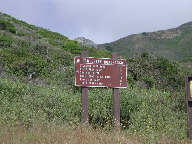
Los Padres National Forest Road #23S01

Willow Creek Road
Los Burros Road

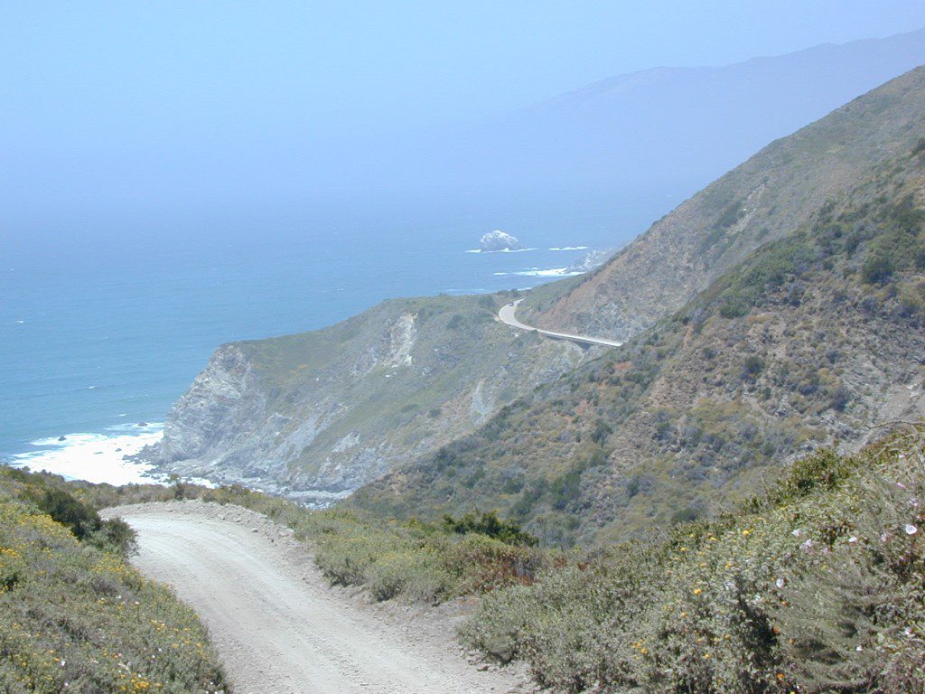
South Big Sur Coast Dirt Roads & super scenic US HWY 1 – North of San Simeon and Hearst Castle, north of Ragged Point and just past Gorda, CA a dirt shoulder, widens, a break in the bushes on the right side of the highway, a small wooden sign for the Yurt Resort called Treebones and the turn off to the back-country of Los Padres National Forest Road #23S01

Willow Creek is a steep coastal canyon w/ Willow Creek Trail #5E08 in the creek below and the dirt road 1000′ above. Willow Creek Day Use Area, the Willow Creek bridge and Willow Creek beach w/ restrooms, picnic tables, and paved parking lot near the highway.

DIRT ROAD, high clearance is recommended, but not required. 4×4 may be needed in wet weather. Motorhomes, trucks w/ trailers and RV campers are not gonna like this rugged, narrow, steep, dirt road and are advised to stick to the pavement. Camper vans and SUVs are be better suited for this terrain.

  • Both Thomas Bros. Maps & Benchmark Map’s California Atlas has this route listed as Los Burros Road
  • Google Maps has this route named Will Creek Road
  • Yahoo Maps has this route as Willow Creek – Los Burros Road
  • Mapquest has this one listed as Los Burros Rd – Fort Hunter Liggett (which is a military base,  on the opposite side of the mountain range near US Hwy 101)


View Larger Map


Free Camping in Big Sur

Willow Creek Rd

Several primitive camp sites can be found along this rugged dirt road, which climbs steeply and switchbacks thru redwoods, madrones, cedars, grass lands and oak hills. Sites within the first 3 miles  of this road offer the serene sounds of the ocean – waves, seals, sea lions as well as traffic on the busy highway. There are a few private properties back here in the boonies too, so read signs and don’t go exploring this region in the dark.

About 8 miles back on Willow Creek Rd is Alder Creek Campground – a small developed camp w/ only 2 camp sites and no piped water and no fees.

Prewitt Ridge  also has numerous ideal top-of-the-world, free camp sites, which do require a lot more dirt road driving and a very good backcountry map.

  • Sycamore Flat Road intersects @ 3 miles up
  • Alder Peak Camp is San Martin Top @ 12 miles up
  • South Coast Ridge Road is at the very top @ 14 miles
  • Lions Den Camp is 19 miles of dirt road driving
  • Three Peaks Camp is 21 miles way back there
Los Padres Monterey District Big Sur Map NatGeo

Chumash Wilderness

Chumash Wilderness
Los Padres National Forest

38,150 acres
Mount Pinos – 8831′ elevation
Cerro Noroeste – 8286′ elevation
Los Padres National Forest

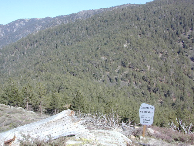
Terrain consists of high mountain peaks, badlands of Quatal Canyon Wash & Lockwood Valley; Steep slopes of forests, rock outcroppings, sparse forest areas, on border of Kern County & Ventura County. This area is sacred to the native California Chumash tribe.

Quatal Canyon Rd #9N09

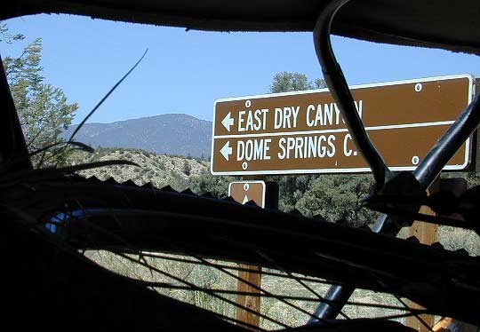
DSCN0042Mount Pinos, Mount Abel, Cerro Noroeste, Westside Park, Hudson Ranch Road, Mil Potrero Highway, Lockwood Valley Road, East Dry Canyon, Apache Canyon, Cuyama River

campgrounds nearby –

The Peak to Peak Hike is a 7 mile, high elevation, ridge line day hike that traversed 2 of the tallest peaks in Kern County – Mt Pinos (elevation 8831′) and Mt Abel (8286′). Day hikes, equestrian trails, backpacking, mountain biking areas nearby. Steep, granite, chaparral, lightly forested w/ ponderosa and Jeffrey pines. From this ridge trail you have a 360 degree view over the entire region. The cabin community of Pine Mountain Club is to the north side (and IF the skies are really clear, you can see the Sierra Nevada mountain range too); Lockwood Valley & Ozena Valley are located to the south; Cuyama Valley to the west and the Tejon Pass w/ Frazier Park to the east.

Off road use 4×4, dirt bikes, ATVs, and quads are common in Quatal Canyon, Apache Canyon, East Dry Canyon leading up to the wilderness edge. Rangers will ticket if they find you on the Chumash side of Quatal wash. The secluded yet inviting, wide, white sandy washes are just too tempting for some bad boys.

Chumash trailheads are located

  • about a mile before Camp-O-Alto Campground (Mount Abel)
  • along lower end of Quatal Canyon Wash (OHV areas parallel)

nearby towns –


DSCN0060


View Chumash Wilderness Area in a larger map

Dome Springs Campground

Domesprings

Los Padres NF – Frazier Park Camping

Dome Springs Campground

Los Padres Forest Rd #8N40

North of Lockwood Valley Rd. 20 miles W of Frazier Park, CA

Free, small campgrounds are abundant inside the Los Padres. Pinyon pine forest & a wide high desert wash, steep canyons and mountain wilderness. Kern County’s highest peak sits nearby @ Mount Pinos 8831′, with neighboring Mount Able 8286′ directly west of Pinos. Peak to Peak hike is a popular attraction for day hikers and backpackers alike.

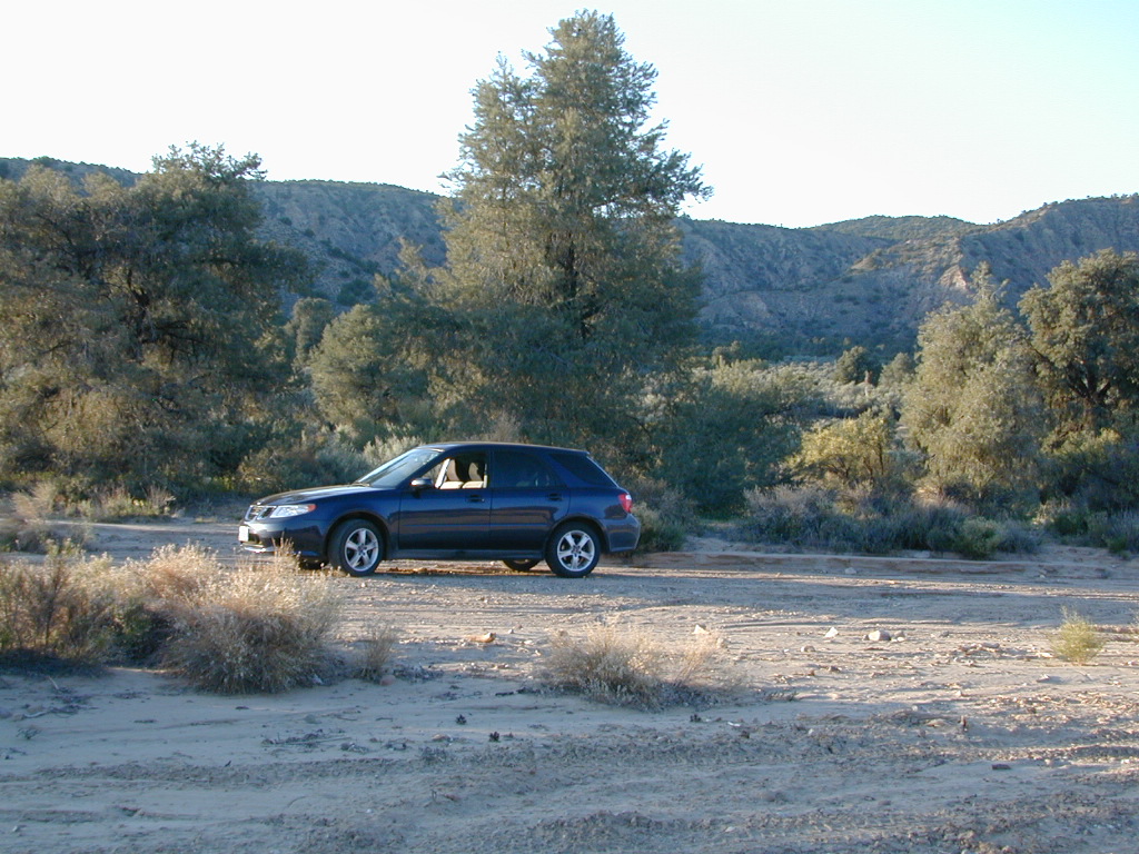
Saabaru Off-Roader

Lockwood Valley Camping

free campground  / badlands terrain

When mountain winter temps set in (around the holiday season), camping overnight in the low lands might be more appealing. Domesprings is a perfect camp spot for car campers, off roaders, hunters or even mountain bikers. OHV trails, target shooting areas are abundant, as well as hiking and stargazing opportunities. The main wash is called Dry Canyon, which is nice when there has been some mild rain for minimal dust. No motor bike, vehicles or bicycles in the neighboring Chumash Wilderness, which borders this region on the north next to Mt Pinos.

Dome Springs – Dry Canyon main access road #8N40 can be sandy at times and 4×4 might be needed to reach camp during drier months. Snow or wet weather might also pose a problem with this road, so always check weather and call the rangers ahead of time to find out current road conditions. Most of the time you can get back here with a low rider passenger car.

Elevation: 4,585′
Number of Sites: 4
Camping Reservations: No
Sites Available: First come, First serve
Vehicle Accessibility: small RVs
Length of Stay: 14 Days
Water: No Piped; seasonal creek iffy
Toilet: Vault
Season: Open all year
Fee: No
Operated By: National Forest Service
Closest Town: Frazier Park, CA

Los Padres National Forest
Lockwood Ranger Station
661-245-3731

camp

2 other big washes off this mountain ridge are –

Apache Canyon Road #8N06Nettle Spring Campground, running to the west.

Quatal Canyon Road #9N09Toad Spring Campground, running to the west.


litterlogs_med

Tejon California

Tejon Pass / The Grapevine / Tejon Ranch

tejon poppies

Interstate 5 California (Kern & LA County)

Tejon is the largest and oldest privately owned ranch land in California. It spans from the northern slopes of the great central valley to the tops of the oak sided mountains. The Tejon Pass 4144′ elevation, is Interstate 5. The golden state freeway zooms by connecting north Los Angeles to the Central Valley…. at 80mph. Watch for CHP near here. It’s easy to go down hill at 90 and not even realize it.

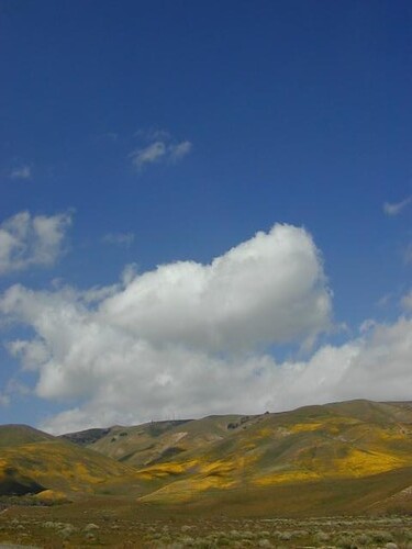
The old portion of this mountain pass is known as the Historic Ridge Route, and many overgrown miles can still be traveled on the back road. Off road and motorbike trails join up with old sections of crumbling highway between Lake Castiac and Pyramid.  The artist Christo erected 1760 yellow umbrellas along these hillsides between Gorman and Tejon, back in 1991. Awesome wildflowers bloom throughout Tejon, Lebec to Gorman each spring from late March thru May.

Angeles National Forest is on the east side of the freeway w/ Castiac Lake and Los PadresNational Forest is on the west side, with Pyramid Lake. Back roads camping and total seclusion is prime pickins in this region, if you have a decent map and are willing to drive a little

Family campgrounds, RV astronomy sites, 4×4 camps on dirt roads, off road parks, walk in campground to alpine meadows, ridge line forest camps, backpacking, horsepacking, mountain biking, hiking. Numerous campgrounds can easily be found by driving 30 minutes from the “Frazier Park Mountain Road” exit off the freeway. Most folks aim for Mount Pinos, but the whole Los Padres forest is devine.

The fort location was established by the U.S. Army in 1854 and was designed to protect Native Americans. Restored adobes and museum feature exhibits on military life and local history. They also hold living history events performed by volunteers in costume. The park has a number of 400 year-old valley oak trees. Mister Peter Lebeck was killed by a grizzly here and there is even a tree to prove it.

Tejon photos

Fort Tejon Uniforms

Originally uploaded by danamight

Tejon Industrial Complex: This is the first large scale development in a master planned laid out by the privately owned Tejon Ranch Corporation. Another trucker stop on the opposite side of the freeway is already underway. In-N-Out Burger, Starbucks, McDonalds, IKEA distribution center, gasoline @ the bottom of the Grapevine. 30 miles south of Bakersfield & just down the hill from Lebec.

towns nearby –


Angeles National Forest Map
Angeles Forest Map
Los Padres National Forest Map: South
Los Padres Forest Map: South

Gorman Gold

Headed to Kern River ?

KERN COUNTY RD 184 = LAVAL ROAD: Wheeler Ridge. This is your freeway exit northbound if you wanna bypass Bako city traffic, on the way to Lake Isabella & Kernville.

Gas up in Lamont, it’s cheaper on the north end of town. Great little taco shops abound. Best bypass thru the farm belt to the Sierra Nevada.