Tag Archives: rivers

Bucks Lake Wilderness

DSCN0237

Bucks Lake Wilderness Area

Bucks Lake, California
Plumas National Forest

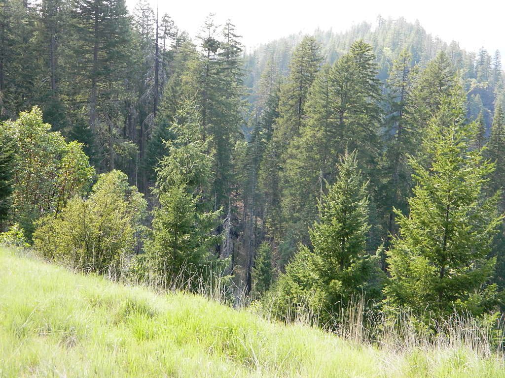
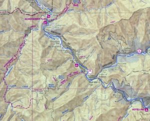
topo mapIn the hills and canyons above Chico many wonders can be found. North Sierra Nevada mountains, medium sized recreation lake surrounded by lush forest; N of Lake Oroville and S of Lake Almanor. North Fork Feather River canyon forms the northern boundary to this designated Wilderness Area. The area is popular with backpackers and PCT hikers, as well as equestrian and the region has over a dozen campgrounds. Backcountry terrain includes an impressive 6 mile long canyon wall.

camp Bucks Lake Campgrounds

hotels Bucks Lake Lodging

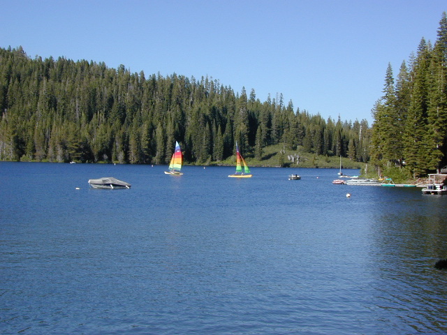
The popular boating destination, Bucks Lake reservoir, is just outside the wilderness boundary, which makes for an excellent destination for day hikes. Boating, fishing, backpacking, hiking, camping, canoeing, kayaking, rock climbing, snowmobiling and mountain biking are just some of the outdoor recreation in the area. This Wilderness region features a Silver Lake and Gold Lake, as well as numerous other small, unheard-of lakes. A few can be accessed by vehicle, but more than half are hike-in only lakes.

  • backpacking
  • boating
  • cabin rentals
  • camping
  • canoeing
  • fishing
  • floating
  • hiking
  • kayaking
  • sailing
  • swimming
  • Bucks Lake Wilderness
    23,958 acres
    5200′ elevation at Bucks Lake

    Alpine wilderness, mountain peaks, hiking trails, PCT trailheads, numerous small lakes, plus large recreational fishing lake

    Bald Eagle Mountain – 7183′
    Bucks Mountain Peak – 6819′
    Mount Pleasant – 7067′

    Small lakes around the Bucks Lake Wilderness Area

    Bald Eagle Lake
    Blue Lake
    Cape Lake
    Gold Lake
    Grassy Lakes
    Jacks Meadow Pond
    Kellogg Lake
    Lost Lake
    Mud Lake
    Rock Lake
    Silver Lake
    Snake Lake
    Smith Lake
    Thompson Lake
    Three Lakes
    Upper Mud Lake

    regional maps –

    nearby towns –
    Berry Creek, CA
    Meadow Valley, CA
    Quincy, CA
    Chico, CA
    Oroville, CA
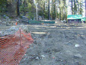
    lodge and cabins
    historic lodge burnt down, but they rebuilt and are re-opened again

    DSCN0242

    more info –

    Bucks Lake Trailheads (PDF)
    BucksLake.net
    Bucks Lake Fire Dept
    Bucks Lake Wilderness Wiki


    View Larger Map

    Trinity Alps Camping

    Trinity Alps Wilderness Campgrounds

    Northern California Camping
    Shasta Trinity National Forest

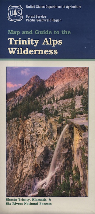
    Trinity Alps Wilderness

    camp


    • backpacking
    • camping
    • fishing spots
    • floating
    • hiking
    • hunting
    • kayaking
    • mountain biking
    • off-roading
    • soaking
    • swimming holes
    • tubing
    • stargazing

    trinitydetail

    campgrounds near Trinity trailheads –

    camping Highway 3
    (California State Route 3):

    • Horse Flat Campground, near Eagle Creek trailhead
    • Eagle Creek Campground @ Hwy, near Stoddard Lake & Eagle Creek trailhead
    • Goldfield Campground, near Boulder Creek trailhead
    • Big Flat Campground (via Coffee Creek Road #104)
    • Preacher Meadow Campground @ Hwy, near Swift Creek trailhead

    camping Highway 299
    (California State Route 299):

    • Ripstein Campground, near Canyon Creek trailhead
    • Hobo Gulch Campground, on Road #34N07
    • Hayden Flat Campground, near Big French Creek & Green Mountain
    • Denny Campground, near Jim Jam Ridge, East Fork & New River; Way out west
    • Groves Prairie Campground, near Grizzly Camp trailheadtrinityalps_lg
    • Happy Camp Campground, near Grizzly Camp trailhead

    camping Highway 96
    (California State Route 96):

    • Tish Tang Campground, near Tish Tang trailhead
    • Box Campground, near Red Cap Lake, Bear Hole & Mill Creek Lake
    • Klamath Riverside Campground @ Hwy, near Salmon Summit

    camping Salmon River (Cecilville Road #1C02):

    trinitysign
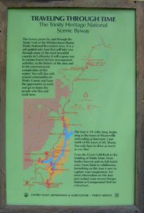
    Trinity Scenic Byway (CA SR 3)

    NorCal Topographic Maps – Trinity Map

    Shasta Trinity National Forest Map

    Pacific Crest Trail Map #6 (Shasta Cascades)

    Trinity Alps Wilderness Map

    outdoor destinations also nearby –


    View Larger Map

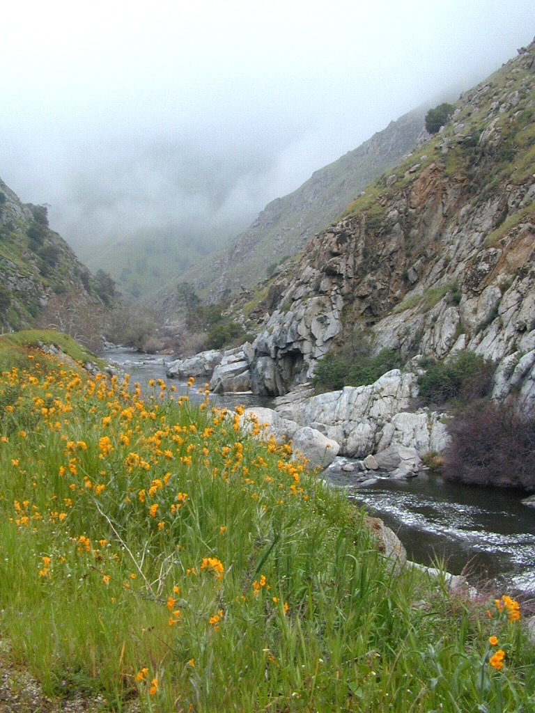
    Kern River Canyon

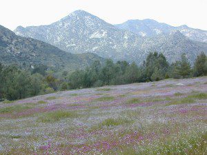
    Kern Spring Wildflowers

    Kern River Valley is one of the all time favorite Sierra Nevada destinations for SoCal escapees. First, it is the southern most ‘big river’ action for the Sierra range. The drive up from Los Angeles is easy access; only a coupe of hours. California Highway 178 leads from Bakersfield up the mountain to Lake Isabella (exit at 155 for Kernville destinations). The 178 continues east past the rural communities of Onyx, Canebrake, Weldon, and then on to the Northern Mojave desert & US Highway 395

    Second, Kern has an abundance of outdoor recreation, from fishing to boating, river rafting to kayaking, backpacking, mountain biking, rock climbing, horseback riding, hiking, camping, & soaking. Kernville is the “recreation headquarters” for the region, where you can find rafting outfitters, camping supplies and rental equipment.

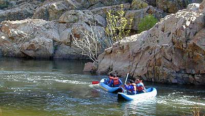
    Kern Rafting

    Third, the mountain scenery is very diverse – with the dry shores of Lake Isabella, the granite lined Kern River, or the ridges with towering cedar forests, plenty sugar pines, plus a few Sequoia groves; Tons of dirt back roads to explore, granite & gorges for the rock climbers, prime wilderness access & several primitive hot springs.

    The whole area is encompassed by the Sequoia National Forest with wilderness areas to the North & East. Giant Sequoia National Monument is located along the Western Divide Hwy in the northern portion of the National Forest.

    campingFIND CAMPING along the Kern River

    camping Sequoia National ForestFIND ALL Campgrounds in the Kern River Canyon

    Kern River Valley communities include:

    Whether you’re an RVer wanting a developed campground near town, a fisherman needing a primitive site right on the river, or a backpacker seeking the high country, the Kern has a little bit of everything. High elevations beyond 8000′ ridge lines, or the lush Lower Kern under 2000′ with granite boulders lining, Kern has it. 4 wheelers will love the extensive network of dirt back roads, or maybe the OHV areas of Keysville. Lake Isabella has numerous oak lined campgrounds & boat rentals available too. Summer is not the best time to visit as the temperatures soar to 100 degrees & the city crowds come in full force to the Kern Valley. Springtime, the best season to visit runs from March to May, or Autumn cools for September to December.

  • SEQUOIA NATIONAL FOREST MAP
  • DOME LAND WILDERNESS MAP
  • GOLDEN TROUT WILDERNESS MAP
  • SOUTH SIERRA WILDERNESS MAP
  • KernWildflowers

    HoboCampground
    Hobo Campground in the Lower Kern Canyon

    Lily Pad Campground

    Lilypad Campground @ Lake Wishon Reservoir
    Sierra National Forest, California

    The long journey up the mountain into the Sierra National Forest is only for the true adventure seekers. First off, get a good forest map. Second, plan several days if not a full week off of work to explore this region in depth. It is a long drive from most anywhere in California, and this spot is way, way tucked back in there right up against the High Sierra peaks and wildness.

    East of in Fresno, historic village of Clovis is a good lunch stop in route. Drive up mountain on Hwy. 168, turn right at Shaver Lake on to Dinkey Creek Rd. Now you will clock the mileage 28.7 miles to the camp. Drive past McKinley Grove and past Dinkey Creek. Follow signs to Wishon Reservoir. This campground is located adjacent to the road before you reach the dam.

    All this travel time will have you asking ‘is it worth it’? The answer is ‘yes’….. if you want an uncrowded lake with plenty of wilderness surrounding you. Granite rock and forest all around. Lake Wishon is a hydroelectric reservoir operated by PG&E

    Lily Pad Campground

    Central Sierra Camping – Wishon Lake

    High Sierra Rangers Office: 559-855-5355

    • Elevation: 6,500′
    • Number of Sites: 15
    • Camping Reservations: No
    • Sites Available: First come, First serve
    • Vehicle Accessibility: 35′ limit on RVs & trailers
    • Length of Stay: 14 Days
    • Toilet: Vault
    • Water: Piped
    • Season: Closed in Winter Snow
    • Fee: Yes

    camp sites at lake

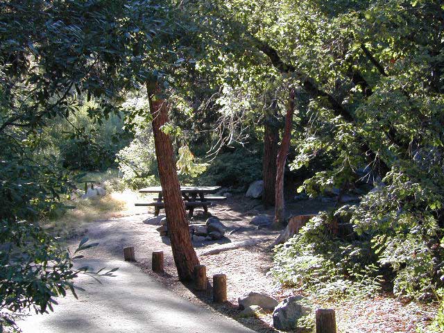
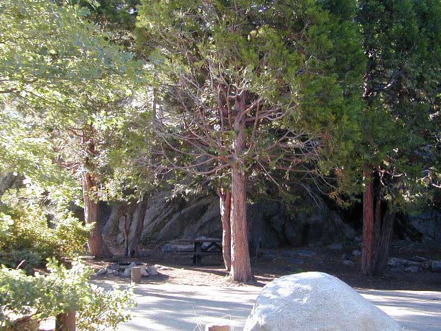
    Large granite boulder coves provide cubby-hole privacy w/ shady trees and well spaced camp sites. Very unique design with paved driveways, adequate for handicapped camping with some sites with better access than others. 4 camp sites are considered walk-in sites.

    Lake views from camps are only a mere climb up to the top of the nearest granite, which will show you just how close you are sleeping to the big water.

    As with any Sierra location, holiday and summer weekends are the most busy. Tourists, family campers and RVers are all out enjoying the sunshine. Mid-week camping is good for fishing, relaxing w/ peace and quiet. Off season is best for having the place to yourself.

    Outdoor recreation in the area include – hiking, camping, backpacking, rock climbing, mountaineering, sightseeing, kayaking, canoeing, mountain biking, off-roading, creek fishing, lake fishing.


    Neighboring Wishon Village has a small general store, RV park w/ wifi & boat rentals.


    Mokelumne Wilderness

    Central Sierra Nevada Mountains, California

    Mokelumne Wilderness Area

    topo mapsMokelumne Map

    Mokelumne (pronounced moo-ka-la-mi)
    Backpacking, Camping, Fishing, Hiking, Kayaking Mokelumne River / Mokelumne Fishing / Mokelumne Trail / Mokelumne Wilderness Topographic Map

    Vast alpine ranges located in the middle of the Sierra Nevada, between Highway 88 (Carson Pass) & Highway 4 (Ebbetts Pass). The Mokelumne Wilderness is a 105,165-acre federally designated wilderness area located 70 miles east of Sacramento, California. It is within the boundaries of three national forests: Stanislaus, Eldorado and Toiyabe. First protected under the Wilderness Act of 1964, the Mokelumne’s borders were expanded under the California Wilderness Act of 1984 with the addition of 55,000 acres. The wilderness takes its name from the Mokelumne River, which was named after a Mi-wok Indian village located on the riverbank in California’s Central Valley.

    The wilderness encompasses an area of the Sierra Nevada mountain range between Ebbetts Pass to Carson Pass. There are two sections separated by the Blue Lakes Road and an Off-Road Vehicle corridor. Elevations range from 4,000′ to 10,381′. The highest point is Round Top 10,364′, a remnant volcano from which the wilderness area’s volcanic soils are derived from and is located on the east side of the Sierra crest.

    recreation –

    • backpacking
    • camping
    • creeks
    • fishing
    • hiking
    • ice climbing
    • kayaking
    • lakes
    • mountaineering
    • rivers
    • wildflowers

    surrounding forest lands –

    National Forest & Wilderness Permits –

    USDA Stanislaus
    Lake Tahoe Basin Management

    More Mokelumne Wilderness Info & Links –

    sierrawild.gov/wilderness/mokelumne
    summitpost.org/mokelumne-wilderness
    Mokelumne Wiki
    Mokelumne River

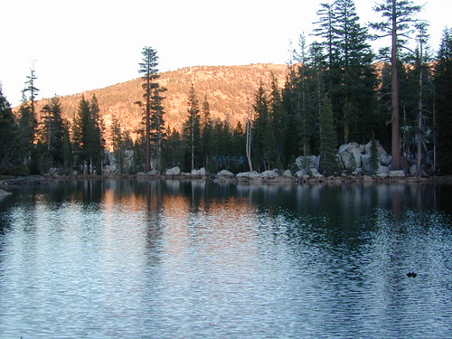
    Sunset at Mosquito Lakes