Tag Archives: rock creek

Rock Creek California

rockycreek

Rock Creek, CA

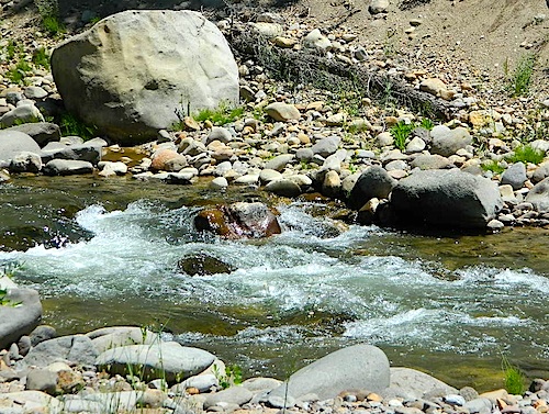
Due the nature of gravity, erosion and heavy rocks, creek beds tend to be rocky ravines near mountains – which collect rocks as they slide downhill. Creeks work as water drainage off the mountains. Inside California we have plenty of mountain ranges and plenty of movement, as the Pacific plate plows into North America, tectonically speaking.

How many Rock Creeks are inside the golden state of California? Heck, I dunno. Let’s try to find them all.

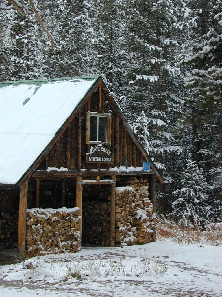
winterlodge

Probably the best known, is the one near Mammoth Lakes, CA

Eastern Sierra

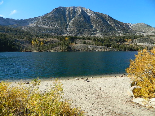
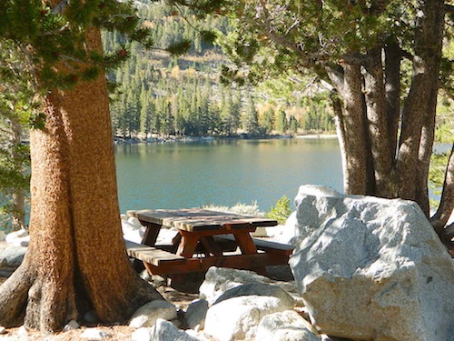
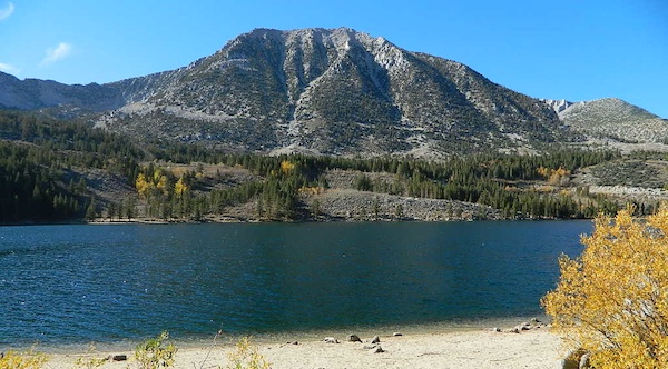
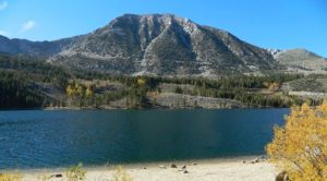
Small Beach at Rock Creek Lake

Rock Creek @ Mammoth

Rock Creek Road, Eastern Sierra
Inyo National Forest
Road #4S12
ROCK CREEK LAKE
NFS CAMPGROUND (9600′ elev w/ 66 sites)
GROUP CAMPGROUND (reservations required)
RESORTS
CABIN RENTALS
Road #6S05
WILDERNESS TRAILHEADS – Mosquito Flat, Little Lakes Valley Trailhead, Mono Pass, Morgan Pass, John Muir Trail (JMT), Pacific Crest Trail (PCT)

US395

US 395 @ Rock Creek exit is Toms Place, CA
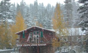
rockcreeklakeresort

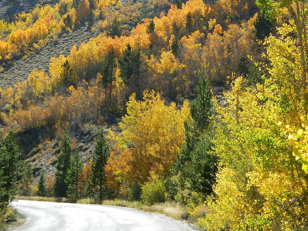
fallflames
Eastern Sierra Rock Creek Rd
ruggedwalls
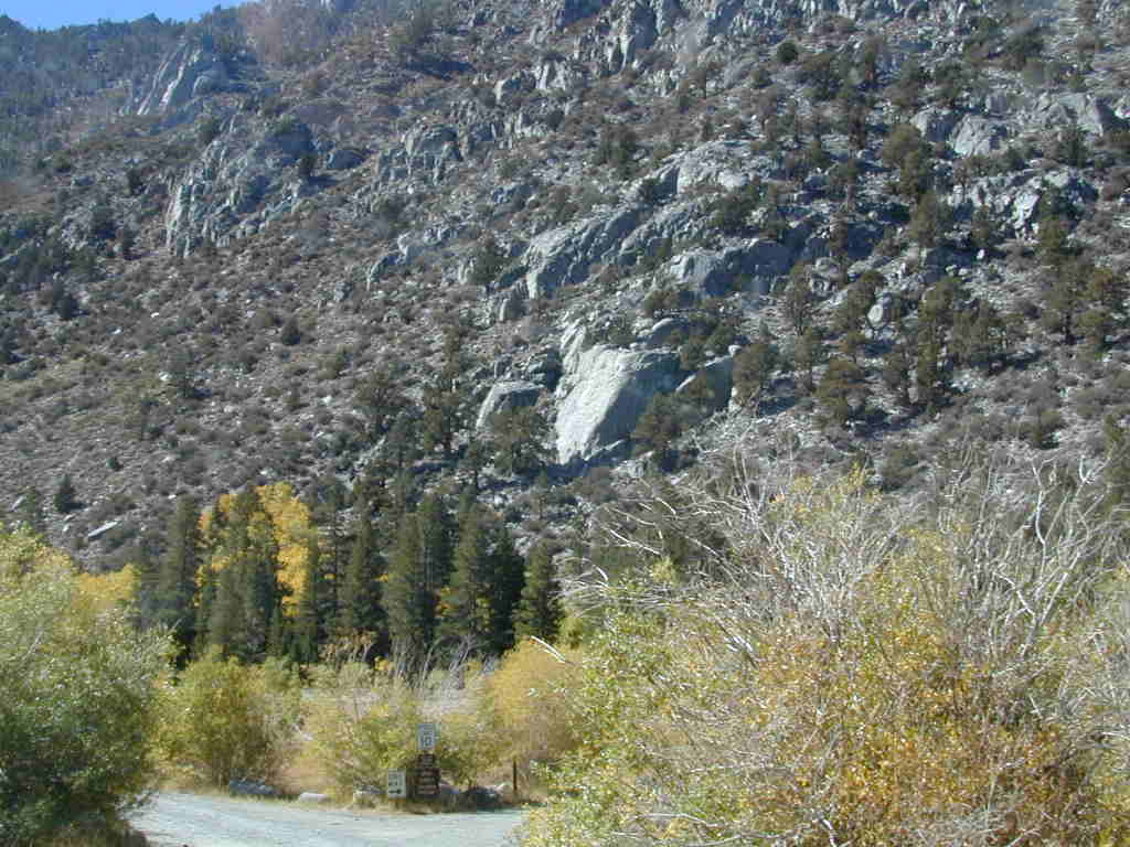
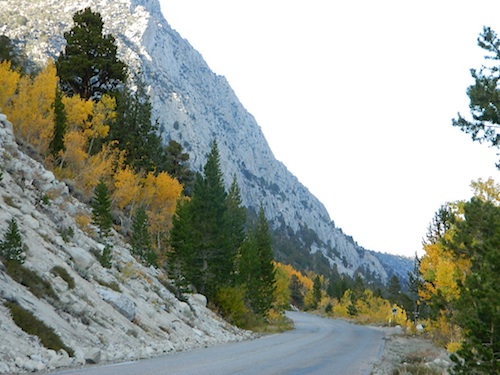
Rock Creek Canyon, Eastern Sierra

driftwood

Western Sierra

Off Road Gold Country, Sierra foothills

Rock Creek, Western Sierra4x4
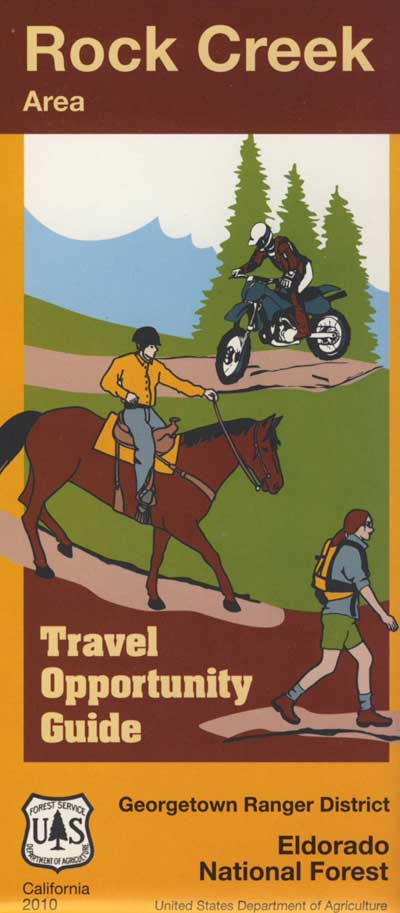
Eldorado National Forest
HIKING & HORSEBACK
OHV TRAILS
4×4 CAMPS
Georgetown, CA
RUBICON TRAIL @ LOON LAKE

RockCreekOHV


driftwood

Western Sierra

How can we forget creek camping & trail access south of Shaver?
bald mtn
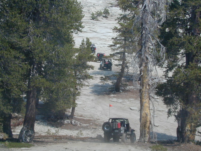
Jeepers on granite @ Bald Mountain, above Shaver Lake, CA

Shaver Lake, Sierra National Forest

Rock Creek Rd, Southern Sierra
Dinkey Creek Area
Sierra National Forest
PRIMITIVE, DISPERSED CAMPING
4×4 TRAILS
BALD MOUNTAIN elev 7832′
DINKEY DOME elev 7697′
DUSY IRSHIM TRAIL
Shaver Lake, CA

driftwood

Northern Sierra

Feather River Canyon

Rock Creek, Highway 70
North fork Feather Riverhiker

Large feeder creek from the north side of highway (California SR 70), in Plumas National Forest. Located in the popular railroad canyon known as the Feather River Canyon. Right here Rock Creek even has a reservoir.

Sugar Loaf Mountain elev 3553′ with Tobin Ridge line each side of Rock Creek as it descends the mountain tops. The junction where the creek meets the big river is just south of Bucks Creek Power Station @ STORRIE, CA. The overall location is half way in between OROVILLE, CA and QUINCY, CA

driftwood

But wait, we have California Campgrounds named Rock Creek too.

camp

Mammoth Reservoir
Mammoth Pool Reservoir

Rock Creek Campground – Mammoth Pool Reservoir, south of Yosemite National Park, behind Bass Lake, CA Sierra National Forest (18 camp sites)

Rock Creek Campground – US Hwy 101 NorCal Redwood forests, north of Leggett, CA. Camp located on the Eel River, in the Standish Hickey State Recreation Area. (36 camp sites)

Also the is a small ROCK LAKE located inside Lakes Basin Recreation Area, northern Gold Country @ Yuba River headwaters. Hike-in access only.

Rock Front OHV

Similarly named ROCK FRONT RANCH is 4×4 trails & 4WD camping area. Cool windcaves, super steep terrain, and wildflowers. Off Highway 166, east of the city of Santa Maria US 101 – on the Central Coast of Cali.

Rock Front Los Padres
Rock Front Ranch in Los Padres NF

dirtbikes


Rock Creek Campground

rockintable
Rock Creek Lake 9600′ elev, Eastern Sierra

Numerous places named Rock Creek exist inside California. This particular Rock Creek page is specific to Camping and Campgrounds!

This compilation of “Rock Creeks” is to help with the confusing lists of similarly named camps and locations (which are many, inside California).

Lakes, rivers, canyons, campgrounds, 4×4 routes and wilderness trailheads. 

Eastern Sierra Campgrounds

List begins with the most well known –

Rock Creek Lake @ Inyo National Forest

Autumn Rock Creek
Rock Creek is a top destination for Autumn Colors in OCTOBER

NFS Campgrounds on Rock Creek Road listed below:

NFSlogo12 NFS Campgrounds are located around Eastern Sierra Rock Creek Canyon. Elevations range from 7000′ at the highway, to over 10,000′ at a trailhead parking lot at the road’s end. Most of these developed campgrounds listed are only open a few months outta the year, due to winter snow closures (NOV-APRIL). On occasion, snow can still be on the roads until MAY.

Tuff Campground ( @ frwy US 395)camp

French Campground (7500′ elev w/ 86 sites)
Holiday Campground (7500′ elev w/ 35 sites)

Aspen Group Campground (8100′ elev)

iris meadow
Iris Meadow Campground NFS

Iris Meadow Campground (8600′ elev w/ 14 sites) NFS
Big Meadow Campground (8600′ elev w/ 11 sites)
Palisade Group Campground (8600′ elev w/ 5 sites)
East Fork Campground (9000′ elev w/ 133 sites)
Pine Grove Campground (9300′ elev w/ 11 sites)

rockcreeklake

Rock Creek Lake Campground (9600′ elev w/ 66 sites) NFS

Rock Creek Lake Group Campground (by reservation) NFS

Mosquito Flat Walk-In Campground (trailhead camp) hikerSome maps may have this one listed as Little Lakes Campground, but that is just the official trailhead name.

Backpackers and horseback riders frequent this Eastern Sierra canyon a lot of the year. Many high country trails lead out to Sierra peaks, alpine lakes and sheer wilderness. Download PDF Map of this canyons hiking trails.

eastern sierra snowline
eastern sierra

More Rock Creek Camps

Rock Creek CampgroundMammoth Pool Reservoir, south of Yosemite National Park, behind Bass Lake, CA inside the Sierra National Forest (18 camp sites)

Rock Creek Campground – US Hwy 101 NorCal Redwood forests, north of Leggett, CA. Camp located on the Eel River, in the Standish Hickey State Recreation Area. (36 camp sites)

Rock Creek Loop Road – Dinkeycamptruck
Sierra Forest Road #9S09, off of paved Dinkey Creek Road. Excellent primitive camping along creek; 4×4 trailheads, as well as hiking & horseback trails. Small RVs okay. Dispersed camp sites, no facilities. Fire permits are required. Near Shaver Lake, CA inside the Sierra National Forest

Similarly named –

ROCK LAKE is located inside Lakes Basin Recreation Area, northern Gold Country @ Yuba River headwaters. Hike-in access only.4x4

And if you want some Central Coast wheelin – 4×4 camping and trails, see the ROCK FRONT RANCH on California Hwy 166, on the way to New Cuyama, CA

lower rock creek road
Lower Rock Creek Road, off US hwy 395

We will continue to add any more Rock Creeks to this page (as we find and photograph them). Stay tuned for more of the very best camping in California.


4S12 – Inyo NF

rockcreekroad

Rock Creek Road

Rock Creek Lake, Eastern Sierra, California

Inyo Forest Road #4S12
also known as Inyo Road 12, and also Rock Creek Rd.

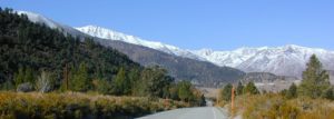
Majestic mountain scenery. Popular paved route that leads from US 395 up to Rock Creek Lake, on the edge of granite wild lands; lake is situated above 9000′ elevation and the hiker trailheads are further up, beyond the lake at over 10,000 feet. Steep canyon, large canyon, rocky granite canyon, high elevation.

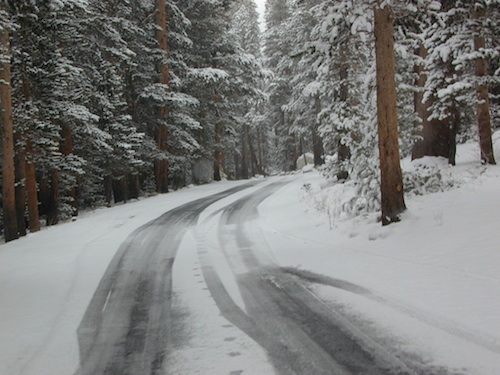
Super scenic drive, but open less than half the year, due to deep snow. Eastern Sierra Nevada mountains. Inyo National Forest

North of Bishop, CA
South of Mammoth, CA
SW of US Highway 395

hikes horse camp bike

backpacking
camping
fishing
hiking
horseback
trailheads
wilderness

A popular and favorite place for summer camping, fishing and hiking. Backpacking, horse trails, high elevation lakes, mountain passes, peaks, wilderness areas. RV campgrounds, tent camping, car camping. Mountain biking in vast canyon, near campgrounds and creek. No bikes in the Wilderness (up and above Rock Creek)

Autumn colors, aspen groves usually best in early October. Snow closure in winter months (Nov-May).

snowyautumn

elevation 7072′ @ Tom’s Place, CA (US Hwy 395)
elevation 9682′ @ Rock Creek Lake
elevation 10,272′ @ Trailhead Parking (end of road)

UP, UP, HIGHER & AROUND LAKE
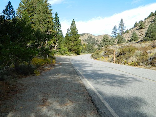
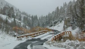
One lane, paved route gets narrow, but keeps on climbing. Road #6S05 continues up – past Rock Creek Lake and ends at hiking trailheads, paved parking lot and a few picnic spots.

iris meadow
Iris Meadow Campground NFS

12 NFS Campgrounds in this region, starting with one at the highway, several along the way and the campgrounds at Rock Creek Lake.

No campfires are allowed in this canyon – outside of a developed campground. Not much in the way of primitive car camping options either, except for strapping on a backpack and heading into high elevation wilderness.

rockcreeklake

Rock Creek Lake

Rock Creek Campgrounds

Inyo National Forest
John Muir Wilderness

Trailheads along Rock Creek Road #4S12

  • Upper Hilton Lakes
  • Tamarack
  • Lakes Valley (Little Lakes)
  • JMT – John Muir Trail

Rock Creek NFS Hiking Trailheads (download PDF)

Eastern Sierra Maps:
Inyo National Forest Map USDA
John Muir Wilderness Maps
Mammoth Lakes Map by NatGeo
Mono Divide High Country Map


rock creek lake
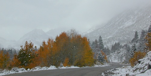
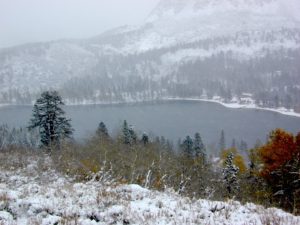
Rock Creek Lake, first snowfall (Autumn)


looking for another place called ROCK CREEK in California? (we are working on that)

6S05 – Inyo NF

6S05bridge

Paved, one-lane extension of #4S12, Rock Creek Road.
Up above Rock Creek Lake, East Sierra Nevada, California

High elevation 10,272′ at roads end and parking lot

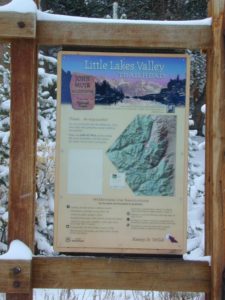
Little Lakes Valley Trailhead
Mono Pass
Morgan Pass
John Muir Trail (JMT)
Pacific Crest Trail (PCT)

Mosquito Flat Picnic Area

Restrooms, paved parking lot, nature trails, fishing creeks, horseback, wilderness trails.

hikes NFS camp horse camp

Mosquito Flat Walk-In Campground is intended for backpackers departing overnight into the backcountry the following day. Single night stay ONLY. Please camp down canyon if you plan to stay for more than one night. Bear lockers are provided at campgrounds for proper storage of food items, so use them!

No campfires are allowed outside of developed campgrounds. Day use does not require a permit. Wilderness permits are required for overnight trips into the John Muir Wilderness. Bear containers are required for backpackers. Permits for these trails are issued at Inyo National Forest ranger station in Mammoth, or the Eastern Sierra Visitors Center (ESIA) near Olancha.

littlelakesvalley

John Muir Wilderness (JMT) trails, Pacific Crest Trail (PCT), epic scenery, alpine lakes, high elevation. Eastern Sierra

Rock Creek NFS Hiking Trailheads (download PDF)

Rock Creek Pack Station provides wilderness pack trips on horseback, and day rides too.

Road and canyon is CLOSED for winter snow approx. NOV-MAY

snowlane

Peaks and passes surrounding Rock Creek Canyon, in the Eastern Sierra Nevada Mountains –

Red Mountain 11,472′ (elevation)
Mount Morgan 13,748′
Morgan Pass
Mt Huntington 12,405′
Mono Rock 11,554′
Mono Pass
Mt Starr 12,835′
Mt Mills 13,451′
Mt Abbott 13,704′
Round Valley Peak 11,943′

Hike or horseback ride to these alpine lakes from Rock Creek Rd trailheads –

Davis Lake
Hilton Creek Lakes
Patricia Lake
Golden Lake
Pioneer Basin Lakes
Trail Lakes
Summit Lake
Ruby Lake
Mills Lake
Gem Lakes
Treasure Lakes
Dade Lake
Upper Morgan Lake
Lower Morgan Lake
Chickenfoot Lake
Little Lakes
Box Lake
Heart Lake
Marsh Lake
Serene Lake
Eastern Brook Lakes
Tamarack Lake
Buck Lake
Francis Lake
Dorothy Lake
Kenneth Lake