Tag Archives: routes

Anza Borrego Wildflowers


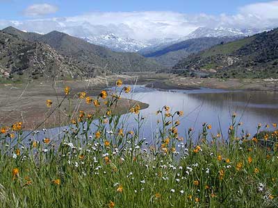
Desert Wildflowers / Anza Borrego SP

Anza Borrego Flowers / Borrego Springs CA
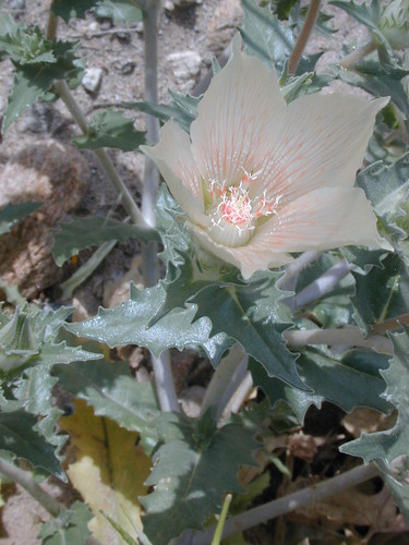
Wild Flowers of Box Canyon, Mecca
East San Diego County, Borrego Springs CA

San Diego Backcountry
600,000 acres of SoCal desert

BLOOM: February thru MaySan Diego desert maps
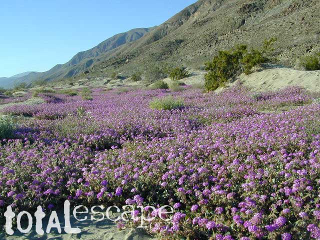
Anza Park elevations range from low to high. Lowest near eastern border of park (next to the Salton Sea) to the upper reaches of the western slopes @ 4000′ of the Laguna mountains. Lower elevations sprout up first; Micro flowers, Easter-egg-color splendor in the dry washes. Higher elevations bloom later (along w/ areas on San Diego County Rd S-2, the Great Overland Stage Route)

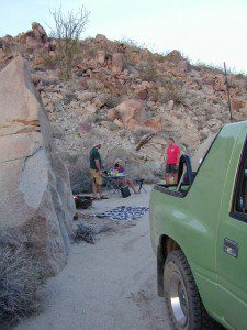
Drive from Temecula to Warner Springs, and then proceed east – out to the Salton Sea via Back Road Highway #S22 (Montezuma Grade). A great route to take thru the Borrego State Park – for the full gamut in vegetation & altitude. Grapevine Canyon is an alternate off road route down a scenic canyon. Culp Valley has a small campground, plus lots of boulders and decent views to the Borrego Valley. Off the highway, on dirt, one-lane side roads lead to many primitive spots. Perfect for private picnics, stargazing or overnight camping.

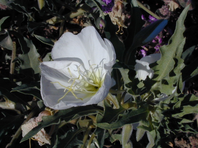
anza wildflowers include – Arizona Lupine, Barrel cacti, Brittlebush, California Primrose, Cheesebush, Creosote, Desert Chicory, Desert Apricot, Desert Hibiscus, Desert Lavender, Desert Pincushion, Fiesta Flower, Fishhook Cactus, Gold-Poppy, Ghost Flowers, Ground Cherry, Fagonia, Prickly Pear, Monkey Flower, Ocotillo, Rigid Fiddleneck, Rock Daisy, Sahara Mustard, Sand Verbena, Short-Wing Deerweed, Spanish Needles, Spectacle Pod, Trailing Windmills, Turpentine Broom, Whispering Bells, Wishbone Bush

Anza Borrego Camping: Palm Canyon and RV Resortscamp


BORREGO MAPS

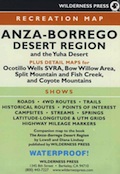
Wilderness Anza Borrego Map
Wilderness Press Anza Borrego Map


Hot Springs of the Southwest

Anza Borrego Flora

__________________________________________________

Annual California Wildflower Reports
 

anza flower links:

Anza-Borrego National History Association
Anza Borrego Desert
Anza Borrego Desert State Park
Borrego Campfire Restrictions
Desert USA Reports

blurflwr

nearby towns:

Borrego Valley Flora

California 4×4 Trails

Canyons of Panamint Valley

California Back Roads: MILD to WILD

jeepers, gear-heads, wheelers, ‘froaders, dirt bikers, anything with a motor

Here at Total Escape we love driving on dirt back roads so much, DanaMite created a whole freaking web site about it! Whether you like to “wheel” your Jeep, truck, SUV, ATV, UTV, or an all-wheel- drive sportwagon – we have the California terrain covered. Detailing the dirt – from basic gravel roads and forest routes to High Sierra rock climbing routes; Trailheads, campsites, maps and much more. Mountains to deserts and everything in between.

California has plenty to explore – off road!

4x4 BLM USDA State Parks camping Back Roads

California Back Roads

California Off Road Areas

California Off Road Maps

CA Off-Road Maps PDF

California 4×4 Clubs

Driving on the Beach

Off Highway Vehicle Areas

State Vehicle Recreation Areas

SUV Trail in California

Winter Wheelin

4×4 Camping in California

4×4 Off Roading

4×4 Rentals in California

all posts under category “Back Roads”

all posts under category “Off Road”

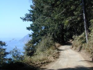
Lost Coast Roads

secluded camps

waterfalldrive

Sequoia National Forest OHV

Off-Roading Sequoia

Sequoia OHV Trails & Off-Road Areas

Rincon Camp
Rincon Camp & Rincon Trail @ Sherman’s Pass turnoff

Sequoia National Forest covers a large portion of the Southern Sierra, surrounding the Kern River canyon. This trail list is NOT for off-roading in the Sequoia groves!

The regions here are further south, below the Western Divide & Trail of 100 Giants.

If you are looking for more than a leisurely Sunday drive or a self guided back road tour, listed below are areas to “tear it up” on dirt w/ your motor bikes, machines & off road toys. Camping is common in certain spots.

CAMPS: Please be respectful of other campers and hikers; do not ride circles around camp sites, stir up dust or rev up engines at night. Choose a camp away from main roadways and access trails for a more enjoyable experience. Equestrian campers often use these same areas for meadow camping and horseback riding. A campfire permit is required.

sequoia OHV routes

ATV offroad trails, OHV routes & 4×4 Jeep Roads

Mojave OHV Sequoia 4x4

DIRT ROADS in KERN CYN & SEQUOIA
Just looking for some dirt roads to explore – at a more leisurely pace?
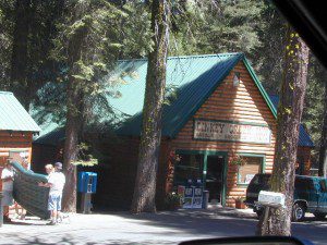
Check out DanaMite’s Sequoia Back Roads list, where you can find awesome unpaved roads throughout the Sequoia Forest & Kern Canyon region. Some of these secluded routes lead to great primitive camping sites, waterfalls, fishing holes, or amazing view points, but are not necessarily popular ATV routes.

DSCN0049

DSCN0061

Sierra Nevada Lakes

Crystal Clear Faucherie

California Sierra Lakes
Sierra Lake Destinations
Sierra Lake Campgrounds

One of the best physical features about California is the amount of lakes and reservoirs it holds – in the mountains, foothills and the canyons, throughout the state.

recreational lakes – Huge, dammed reservoirs to the secluded, alpine lakes in the high country and all the variations in between.

bowman

There are literally thousands of lakes located within the Sierra Nevada mountains and it would be ridiculous to try to list them all here. Many of them can only be reached by hiking into Wilderness.

Most California lakes are popular and well known recreation spots, but others are secluded – if you drive far and long enough back on the dirt road. Some do not allow motorized boats and most do allow fishing and swimming. Some have campsites on the waters edge, while other camps are up on a hill over looking the lake.

Below listed are some Sierra lakes that allow camping on the lakeshore or nearby. Most campgrounds are suitable for RVs, tent camping, and some may require 4 wheel drive to reach them. bass lake

huntington lake

Total Escape has several hundred more lakes & obscure camps listed under Almanor, Lakes Basin, Secluded Lakes, Yosemite Lakes, Tahoe & the Eastern Sierra Lakes page.

Or just check the tag for Lakes & Reservoir

sierra lakes

Turtle Mountain Road

Turtle Mountain Rd

Turtle Mountain Road
BLM Road # NS477

off U.S. Highway 95
in between Needles & Blythe, California

BLM: Bureau of Land Management – Desert Camping

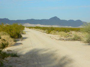
Several miles south of the town of Needles numerous desert washes cross the highway with dirt roads leading off into both directions. Turtle Mountain is just one dirt road to explore in this region, but there are many more unmarked, secluded roads. This region is perfect for “campers in-route” traveling who need a quick overnight camp spot (off the freeway).

Turtle Mountain Road is a one lane dirt road that runs next to a wash, in between Turtle Mountain Wilderness and Stepladder Mountain Wilderness. Leading approx 12 miles from US Highway 95 to the northern edge of the desert wilderness. The Turtle Mountain route continues westward to meet Water Road with Old Woman Mountain Wilderness nearby. Sunflower Springs Road continues north to Essex @ Interstate 40

BLM signage along US Hwy 95 is minimal. Look for vertical brown markers w/ reflectors, numbers or names. Driving slower than typical traffic, coast at 50 mph and keep your eyes peeled to the west side. Turtle Mountain Rd is marked at the pavement, but the marker is very small.

Eastern California Desert Wildflowers

Exploring the eastern side of Southern California, one can find the Colorado River and Arizona border region an excellent destination for winter camping. Springtime offers wildflower blooms, open camping and decent weather with sunny 70 degree days. Wildflowers and BLM beauty awaits those who venture off the paved routes.

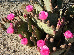
Pink Cactus Bloom

Palo Verde trees line the washes and much vegetation can be seen throughout this remote region. Cacti include the cholla, ocotillo, barrel, beavertail, just to name a few. Wildflower blooms here are just as good as Anza Borrego Desert SP.

MARCH & APRIL are both prime months for the desert bloom

BLM Desert Camping

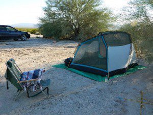
Drive more than a mile from the highway if you plan to camp in peace and quiet, as the overnight truck traffic goes all hours.

RV accessible camp spots are few and far in between. They can be found in large, level pullouts close to the main road, but you will be hearing traffic zoom by. Some dirt roads are in better shape than others; Seasonal storms in the low desert can wash out even paved roads. 4×4 may be needed in some areas.

Open camping in this desert is free and there is plenty of room to spread out. Imagine not seeing anyone pass by your camp or drive down your road for days. Camping in a sandy wash may seem appealing, but you best know the weather forecast and if rain is at all predicted nearby, be prepared to break camp (in the middle of the night) before a flash flood hits.

The Needles BLM Rangers Office is located on US Hwy 95, on the south edge of town and they can provide maps and more information. BLM California Deserts

Needles BLM Office
1303 S. US Hwy 95
Needles, CA 92363
760-326-7000

Lake Havasu BLM Office
2610 Sweetwater Avenue
Lake Havasu City, AZ 86406
928-505-1200

California 4×4 Roads

Panamint Creeks

West Coast 4×4 club holds annual trail runs in Panamint Valley.

California 4×4 – here is search term popularized by the SUV & the anxious city driver who wants to hit some dirt. Gone are the days when peeling out in the back of the Ikea parking lot adventure. You seek real trails & cool spots & Total Escape is here to deliver.

Take your muddy or dusty vehicle to work on Monday (unwashed), just to prove you did something adventurous this past weekend! Once they see the photos, the co-workers will be envious… cuz they watched TV (and wasted 17 hours).

BTW, TV = nothingness

This entire web site was started around California back roads & self guided tours. You finally found us! Gotta get the 4wheel drive SUV into action (at least once per year – so the differential oil wont get like glue) & this web site can help you find the secrets spots of California.

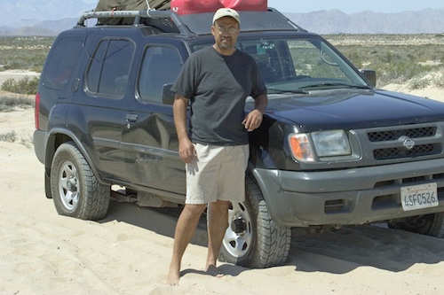
Xterra Ken in Baja 2005
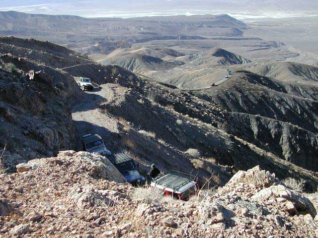
Anza Borrego Desert & Los Padres National Forest has the most 4×4 trails in all the SoCal region. Big Bear forest has some, but the crowds are thick on any given weekend. Angeles has Azusa & Lyttle Creek; Idywild has a few virtually unknown spots. Mojave desert & the Eastern Sierra have plenty to see, volcanoes, ghost towns, old mines, petroglyphs, all reachable with stock SUV. Inyo high country has some incredible sights, but only accessible half the year. You will need 4 wheel drive part time or full time on these trails listed below. AWD doesn’t count! Clearance and 4 wheel traction are key for control w/ rock crawling and deep sand.

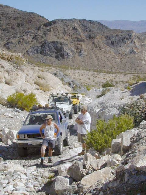
Searching for the extreme, rock crawling, hard core 4×4 stuff, go to the off-road races — or take your time & plan your adventure well. Chances are you’ll need a small team of people to explore these black diamond routes, a good forest map, plus very capable 4 wheelin’ rigs.

red mountain

Red Mountain 4×4 Trail near Shaver Lake

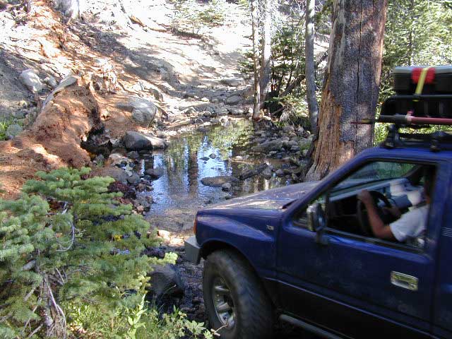
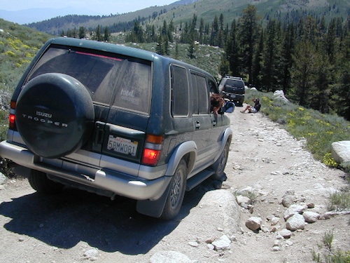
Find California 4wheel drive roads below. Some of these routes will require a four wheel low range, with a transfer case. Do not attempt these with a new AWD SUV. Expect body damage on any 4WD trail.

Anza Borrego Desert –

Gold Country & Sierra Nevada 4×4 trails –

Death Valley 4×4 Camps –

Inyo NF 4×4 trails –

Los Padres NF 4×4 trails –

San Berdu NF 4×4 trails –

  • John Bull Trail, near Big Bear Lake CA
  • Deep Creek Trail, near Skyforest Lake Arrowhead CA
  • Gold Mountain Trail, near Big Bear Lake CA
  • Pipes Canyon, near Big Bear Lake CA

San Diego 4×4 Trails –

  • Los Coyotes Indian Reservation, Lake Henshaw
  • Valley of the Moon, Jacumba CA

baja roads 4x4

Now, not every road is gonna need 4×4 all the time. Most of the dirt back roads can easily be passable in a 2WD in dry months, but forget that in winter or any good rain storm. Total Escape has compiled a huge list of Southern California Back Roads, for your viewing pleasure.

California off road maps –

Baker Creek
Baker Creek, Inyo NF

SUV Trail

Baker Creek
Baker Creek, Inyo NF

Since sport utility vehicles were invented for California yuppies, it makes perfect sense that this California market also has the awesome terrain to use these rugged rigs. After the first shopping cart door ding or windshield crack, most folks are open to taking their utilitarian vehicles on dirt roads, but some will only dream about it.

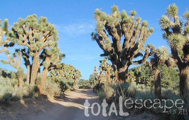
big bear joshua trees

Here at Total Escape, we are here to change all that. The fear of outdoors, the unknown, the capability, the driving skill. Your SUV is a good reason to be outdoors in the golden state, at bare minimum. No excuses. Enjoy the California you never knew – and sometimes that means getting off the pavement. Yes, more than 2 miles.

SUV trail – any path, dirt road or route that can be driven on; high clearance vehicle are often necessary, 4×4 needed on occasion. National Forests, canyons, deserts, mountains, country lane style drives, some classic routes skirt the wilderness boundaries. We have it all for ya here. Rock crawling Rubicon adventures, all the way down to the leisurely ‘Sunday drive’ thru a forest to a meadow for a picnic. 

Jeep trails, forest roads, graded roads, gravel roads, back roads, dirt roads, 4×4 routes, OHV (off highway vehicle) trails.

MAPS will get you out there!
suv road trip
Dust, dirt, mud, snow. Beyond the county line, way back there, where you can discover ghost towns, old mines in the desert, hot springs, historic lodges, petroglyphs, river gorges, fire lookouts, waterfalls, and so much more.

Get motivated and travel in your SUV:

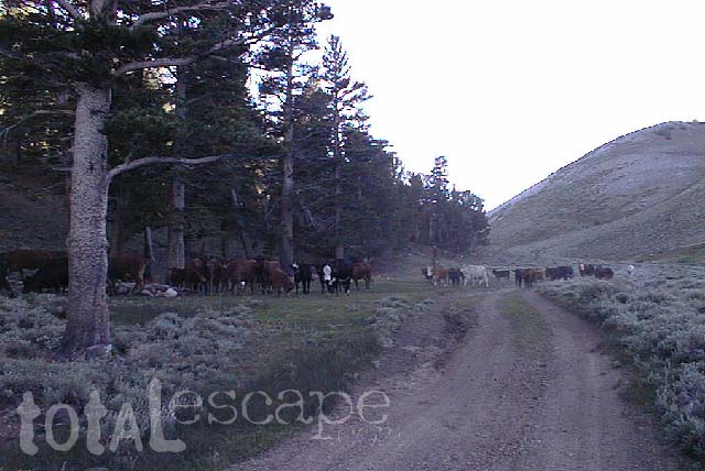
cattle roads

SUV camping

sierra roads

Old Kane Spring Road

Kane Spring California

Quartz Wash Anza

Old Kane Spring Road parallels California SR Highway 78 a few miles from Ocotillo Wells, in east Anza Borrego Desert. A graded dirt road that can often gets sandy and you might need to keep you speed up certain soft spots. A few dead end canyons lead southward; hidden camp sites can be found out this way if you have the time to look. Harper Canyon, perhaps. See below for more on camp sites.

San Diego Desert Map

Anza Borrego Desert State Park Map

San Diego Backcountry Map

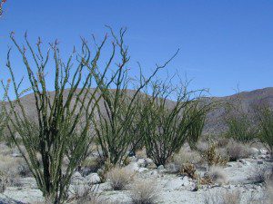
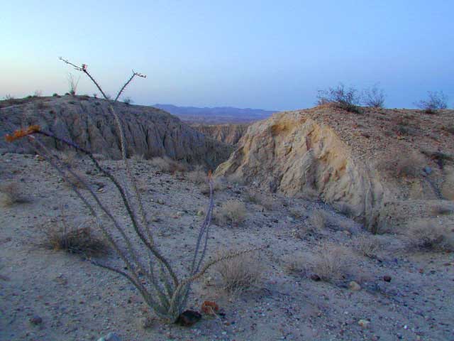
Spring Wildflowers can be quite spectacular out along this desert trail. Towering red-tipped ocotillo in some canyons serve as great backdrops to a perfect picnic lunch.

Ocotillo California

The Kane dirt route peels off the highway about a mile east of an area known as The Narrows. Marked on the highway as a small hiking trail, the highway curves at a narrow section of the canyon, as San Felipe Creek wash carves its way through the harsh landscape.

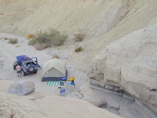
primitive campThe best primitive camping in this area is actually west of The Narrows. You might need a high clearance vehicle to reach some spots and a good map with the creek/wash names. Make sure to look for these – Free Camping

  • Nolina Wash
  • Pinyon Wash
  • Quartz Vein Wash

pinyonoco vcampoutpinyonwsh

On the opposite the highway is Ocotillo Wells SVRA, where off road enthusiasts can get their kicks. Wind caves can be found in Butte Canyon, where the 4×4 trails abound. Kane Springs intersects Split Mountain Road. The Elephant Trees, Split Mountain and more wind caves are south of the railroad tracks.

Anza Borrego Desert Map


View Larger Map

Dinkey Lakes Wilderness

Central Sierra Nevada

Wilderness lakes
Courtright Reservoir w/ CLIFF LAKE trailhead

Dinkey Lakes California

Dinkey Creek Road
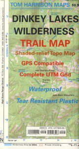
Tom Harrison Dinkey Map East of Shaver Lake, Hwy 168

30,000 acres

Sierra National Forest

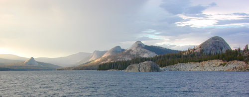
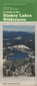
Located in the high elevations between Shaver Lake and Courtright Reservoir is the Dinkey Lakes region. Granite domes and alpine lakes are the key feature of this mid-Sierra forest. John Muir Wilderness is located on the east (right) side of Courtright, while Dinkey Lakes Wilderness is on the opposite west (left) side.

  • alpine lakes
  • backpacking
  • camping
  • creeks & streams
  • cross country ski
  • fishing
  • granite domes
  • horseback trails
  • hiking trails
  • off-roading
  • rock climbing
  • snowmobiling
  • snowshoe
  • stargazing
  • wildflowers
  • wildlife viewing

4 wheel drive trails serve some of the Wilderness boundaries. Dusy Ershim OHV Trail (pronounced ‘doosey’) crosses the boulder strewn terrain for 30 rugged miles, from Courtright to Kaiser Pass. Road #8S10 is known as ‘Red Lake Road’ and pretty popular among 4x4s and fishermen. This high clearance 4×4 trail accesses both scenic lakes – Red Lake and Coyote Lake, as well as Dinkey Wilderness trailheads.

Trailhead Access:

Access the trailheads on the north side of Dinkey Creek Road, a paved route which connects Shaver Lake to the Sequoia McKinley Grove and then on to Wishon and Courtright. Rock Creek Road #9S10 becomes dirt and leads up to the Dinkey Lakes hiking trails.

Paved Dinkey Creek Road leads out to the Trails End trailhead. Dinkey Creek and main Campground is located at 5840' elevation and tucked deep in the forest, about 10 miles east of Shaver Lake. Beyond the Sequoia grove is Wishon & Courtright Reservoirs w/ Cliff Lake trailhead. All the other trailheads located at these large lakes lead over to John Muir Wilderness.

Paved Dinkey Creek Road leads out to the Trails End trailhead. Dinkey Creek and main Campground is located at 5840′ elevation and tucked deep in the forest, about 10 miles east of Shaver Lake. Beyond the Sequoia grove is Wishon & Courtright Reservoirs w/ Cliff Lake trailhead. All the other trailheads located at these large lakes lead over to John Muir Wilderness.

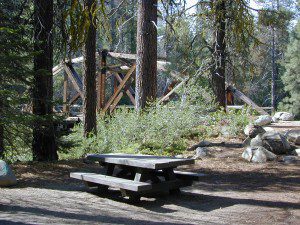
The Dinky Creek locale (on most maps) is located at the main Dinky Creek Campground, along Dinky Creek near the historic Dinky bridge on a small, paved, side route north of the main road. Although this summer vacation area is well signed, people can often miss this turn, especially at night.

DSCN0005

USDA map Two main hiking trail systems can be accessed from the west, via Tamarack Ridge (parking at Hwy 168). Both dirt routes from highway, Road #9S09 and Road #8S10 lead out to Dinkey trails, although one is rugged 4×4 trail, Red Mountain OHV, and the other is a long, graded dirt road.

Kaiser Pass Road to the north side has even more trails leading into Dinkey. Badger Flat and White Bark trailheads are closest points to Huntington Lake, CA. Bolsillo trailhead is way back near Florence Lake, which also has a major trailhead and paved parking.

NFS


local rangers:

Sierra National Forest
High Sierra Ranger District
29688 Auberry Rd
Prather, CA 93651
559-855-5355

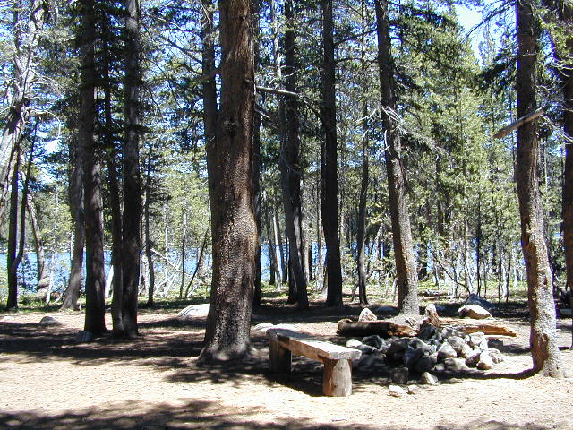
Secluded Camping
4×4 Camping at Coyote Lake


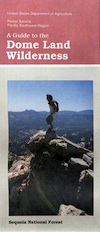
Dome Land Wilderness

Southern Sierra Nevada Mountain / Domeland / Dome Lands
Kern Plateau, Sequoia National Forest

Dome Land Wilderness

130,081 acres

55 miles of trails (hiking & horseback)

Located at the southern end of the Kern Plateau about 20 miles east of Kernville, granite domes give this area its name. Domeland Wilderness is a unique geologic area with semi-arid to arid mountainous regions. Elevations ranging from 3,000′ to 9,730′ – it is surrounded by National Forest, where the Sierra mountains meet the North Mojave Desert. The Wilderness is the southernmost habitat for the Golden Trout. The South Fork of the Kern and tributary streams attract many fishermen. Vegetation is mostly mixed conifer and piñon (pinyon pine).

The Domeland Wilderness is located at the southern end of the Kern Plateau. This land was first protected by the Wilderness Act of 1964 as a 62,695 acre wilderness and was later expanded to 130,081 acres in 1984 to include the delicate transition ecosystems that meet to the east, south, and north of the original wilderness. These new additions, now jointly managed by the Bureau of Land Management and Sequoia National Forest, are rugged and dry.

Though it is considered within the Sierra range, the Domeland Wilderness includes the overlap of several ecosystems to form unique plant and animal communities. The banks of the South Fork of the Kern River offer important riparian habitats of cottonwoods and meadows which stand in sharp contrast against the characteristic smooth domes and bold granite outcroppings. Domes that range from the size of a cottage to football fields across and spear-like jagged spires can be found in the Domeland. This range is one of the driest in the Sierra with the semi-arid mountains of the north and east crumbling into desert.

Notable Wildfires: Dome Fire 1996. Manter Fire in 2000.

Dome Land trailhead locations:

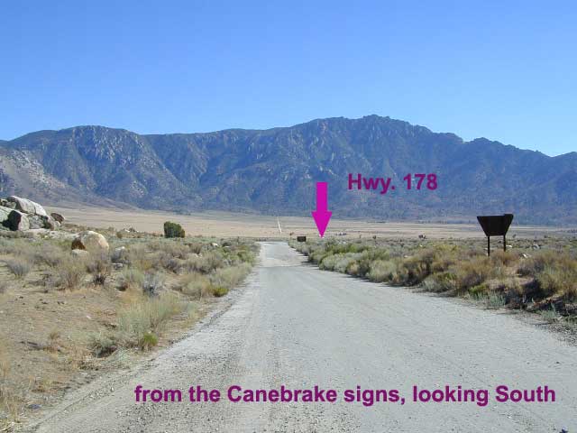
East side access near Rockhouse Meadow and at the Long Valley Campground (BLM). Access is via Nine Mile Canyon Road (J41) from US Highway 395 or Chimney Peak Road (graded dirt road) via State Highway 178 , the main route that passes Lake Isabella.

West side trailheads are at Big Meadow and Taylor Meadow. Two trails from Big Meadow can be reached from Kernville via Tulare County Road M99, Sherman Pass, and Cherry Hill Roads. Leading to Manter Meadow, the upper Big Meadow Trail is a rugged hike while the lower Big Meadow Trail follows more gentle terrain. The trail from Taylor Meadow (southeast of Big Meadow) also leads to Manter Meadow. North side access is available from the Blackrock/ Sherman Pass Road via the Dark Canyon and Woodpecker trails.

dome land mapManter Meadow is popular along with other camp sites located at Little Manter Meadow, Woodpecker Meadow, Rockhouse Meadow, and in the Bartolas Country at the south end of the Wilderness.

Dome Land Wilderness Map USDA


surrounding lands & forests –

Sequoia National Forest
Ridgecrest Desert BLM

nearby towns –

National Forest & Wilderness Permits –

USDA Sequoia NF

More Dome Land Wilderness Info & Links –

sierrawild.gov/wilderness/domeland
summitpost.org/domeland-wilderness
Dome Land Wiki

4×4 Rock Crawling

poppin

Rock Crawling has gained massive exposure in the two last decade with new suspensions, after market part for nicer rigs & of course, the main stream media. Red Bull, Skyjacker & other corporate sponsors have dug their hands into this new sport & the profits.

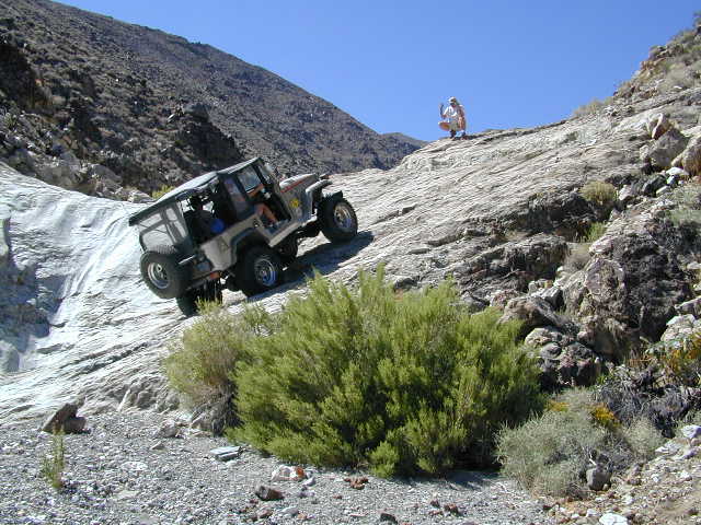
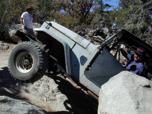
Crawlin’ is the off road hobby of wheelin’ well built rigs over the rocky terrain and obstacles, instead of around it. Sandstone walls, granite boulders of the High Sierra, hand made “rock gardens” in the Mojave, practice runs @ the local OHV parks.

Breaking things is the norm in this game. Expect this past time addiction to cost a bundle – on auto parts & on your free time. On the trail repairs are common, so go prepared w/ your tools, overnight gear & your crawling buddies (as back up).

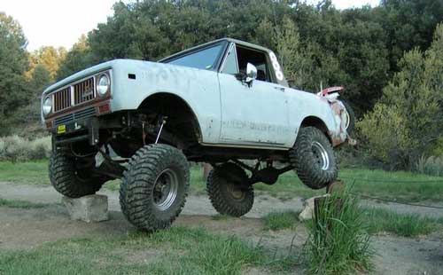
From the adventure lands of Moab, Utah to the Mojave Desert of SoCal, rock crawling is not about speed, but all about the delicately chosen lines & slowness. The technique, the rigs & preferably no body damage. Just get rid of the body!

How slow can you go? How high can you handle?

Popular rock crawling areas around the Southwest U.S. –

California OHV Trail Maps

OHV Routes, Motorcross & ATV Maps

local boys Los Padres