Tag Archives: RV

Creekside Camping

California Creek Camping
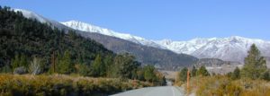
California Camping CreeksClear cool stream waters flow from snow melt at 10,000′ elevation, down to these pristine camps at under 4000′ on both sides of the Sierra. The further you drive up the mountain, the better it gets. Where the Eastern Sierra side tends to be more dramatic desert like with sage brush, the western range is much more lush with ferns & dense trees.

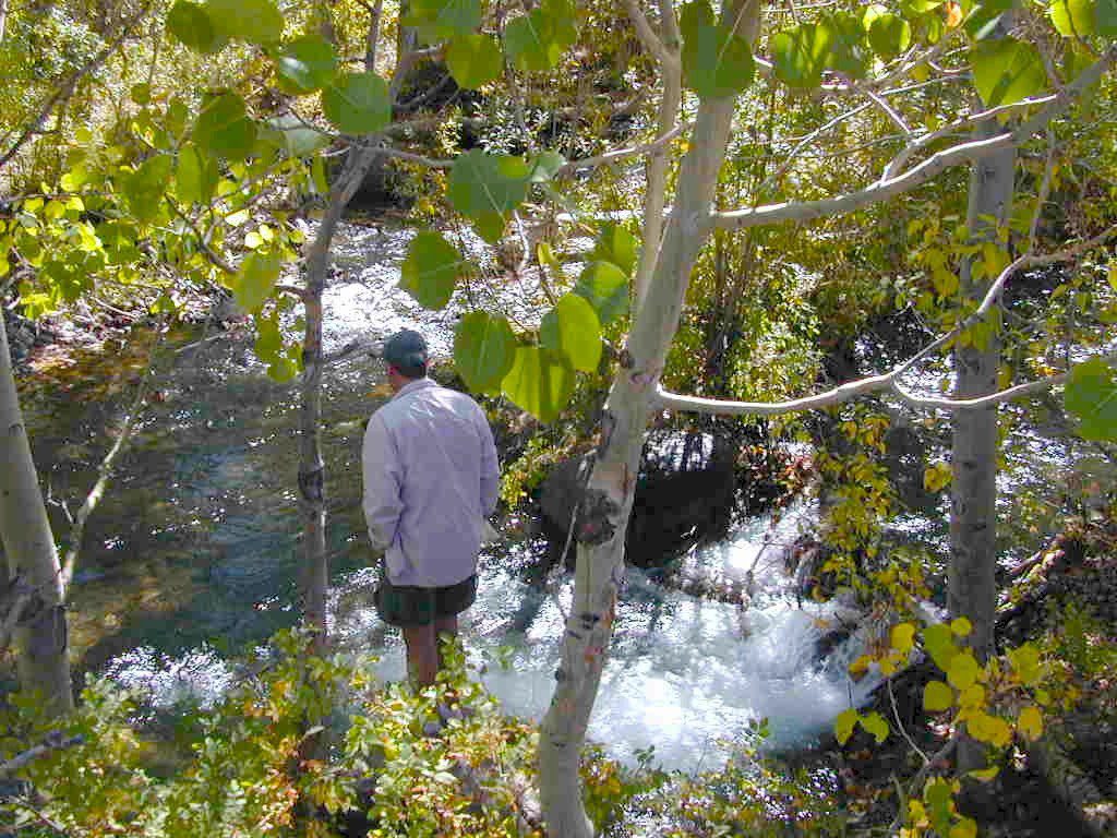
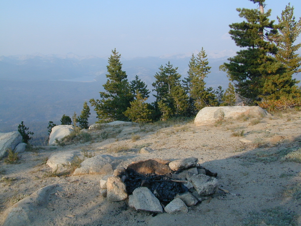
Everyone dreams of it. The perfect camp, along the creek. Maybe a waterfall or two, a shady hammock spot & plenty of trees, a flat tent spot, maybe a view. A big, sturdy, rock fire ring (without a bunch of broken glass in it).

This dreamy camp isn’t only in your imagination, nor is it at the local county campground a few miles from home. This kinda beauty & rare finds are out there, deep in the back woods, the mountains. You gotta know where to look & what to bring in order to have a good, easy, relaxing time.

These secluded sites really are around in your favorite forest, way back there. Best of all, they are free.

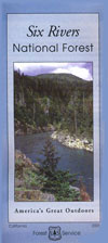
forest mapsHaving the opportunity to camp in your very own private, secluded spot, along dirt roads, outside of the annoying rules and fees of a developed campground is a privilege. Use these lands wisely and be a responsible camper. Camp eco-wise! Respecting the land, knowing some basics and following fire safety precautions is all mandatory. A topographic hiking map or a National Forest map is optional, but highly recommended.
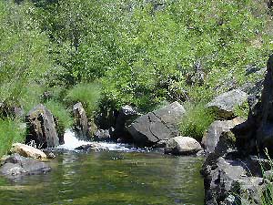
Creekside Camping CaliforniaCreek water can make an easy refrigerator if the cooler is full. Chill that bottle of wine, keep the watermelon cool .. just don’t forget about it. (cuz that kinda litter maybe a welcomed good surprise for the next camper.) Secure your wet creek valuables. Even a heavy watermelon can float! Put some rocks around items or tye them in a mesh bag, with rope, something to keep them from getting away in the swift water.

There is nothing that beats a good detailed forest map of where you are going. If you are the type of person who can never make a straight B-line for home on Sunday afternoon, and find yourself wandering just for the sake of wandering – then it’s best to have a larger state wide map like this beauty from Benchmark Maps.

California Creekside Camp Sites

Small Campgrounds on a Creek

Primitive Style – Dispersed Camping secluded camp sites

If you are the kinda sport who can really rough it, you may learn to love it. After your first real back woods camping experience, the privacy, serenity and beauty of the land will inspire and relax you so much, that the drawback on the lack of toilet won’t bother you.

Make a new hobby of learning how to stay away from the crowds. The less cars you see at camp, the better. Learn to be immersed within nature and enjoy your space outside. Unwind, next to the creek in the shade, with a chair and read for hours, or bring the sketchbook, or just daydream as butterflies go floating by.

  • Remember to be camp clean, California is black bear country.
  • You’ll need a free camp fire permit; pick up at the local rangers station.
  • Classic camp potty info.  Proper disposal of human waste is important.
  • Use biodegradable soaps when outside.

Streamside Camping Basics

what you need:

capable vehicle – SUV or Truck, high clearance is best. 4×4 is NOT required. AWD wagons should be more cautious when venturing out on the back roads. 2WD is fine for most graded dirt roads, but way out exploring dirt roads, deep mud and snow is quite possible.

destination – Pick a locale. A general area you wanna check out. Not a quickie overnight deal, but an enjoyable lazy multi-day camping trip.

exploration – Narrow down a canyon or river that you have always wanted to explore. The Sierra Nevada & NorCal is the place to concentrate your efforts, as SoCal is near desert climate w/ way too much development.

more maps please – National Forest map or similar backroads Map/Atlas. Large topo maps may be too detailed, but will do okay for finding dirt roads (& backpacker trailheads also).

The more homework you do before hand, the better chances of finding that secret camp spot, especially on holiday weekends. Go ahead & call the forest rangers. Have your decent topo maps handy, along with pen and paper. That’s what they are there for. Have a list of questions on specific areas you want more info on. If you do the prep work well in advance, it makes a more enjoyable camp trip. Cuz you’ll be less worried about finding the ultimate places (before dark, or before the other guy does). With your new profound Wilderness Vision, you will have not only a plan B ready, but a plan C as well.

what to look for:

getting permits – If you really wanna camp like this, all secluded on the dirt back roads without the hordes of other campers nearby…. you’ll need a capable vehicle, a camp fire permit & the understanding of the concept “totally self sufficient campers”. This means bringing your own water, a bucket, a shovel, maybe some firewood, plus packing out all your own garbage, plus any litter left over by the last campers. It’s the least you can do, not having to make reservations. Visit the FireSafe page

it’s on your map – After you have a general area narrowed down, some place you always wanted to go, then it’s time to get your maps out & start reading them. Or at least staring at them – maybe over a meal, whenever you have free time to study it. Look for dirt roads, the further off the paved roads is not necessarily the better. Some of the best camp sites are within a few short miles from the pavement, so get them maps out & start visualizing.

gas up – Make sure you fuel your vehicle before you head into remote areas (like the ones we are mentioning). Maybe even an extra can of gasoline too, just in case.

the blue lines – You’ll know a decent road when you see it. When you start planning at home, you need to concentrate of what dirt roads are along what water sources. And will these streams be flowing at this time of year? Many are seasonal creeks & can dry up in summer. The most likely place to find great water flow is to look for the streams flowing directly into a major river or Lake/ Reservoir.

Are you willing to clean up your camp, before & after, leaving it pristine?
Yes indeed, it is free to camp outside of developed campgrounds.

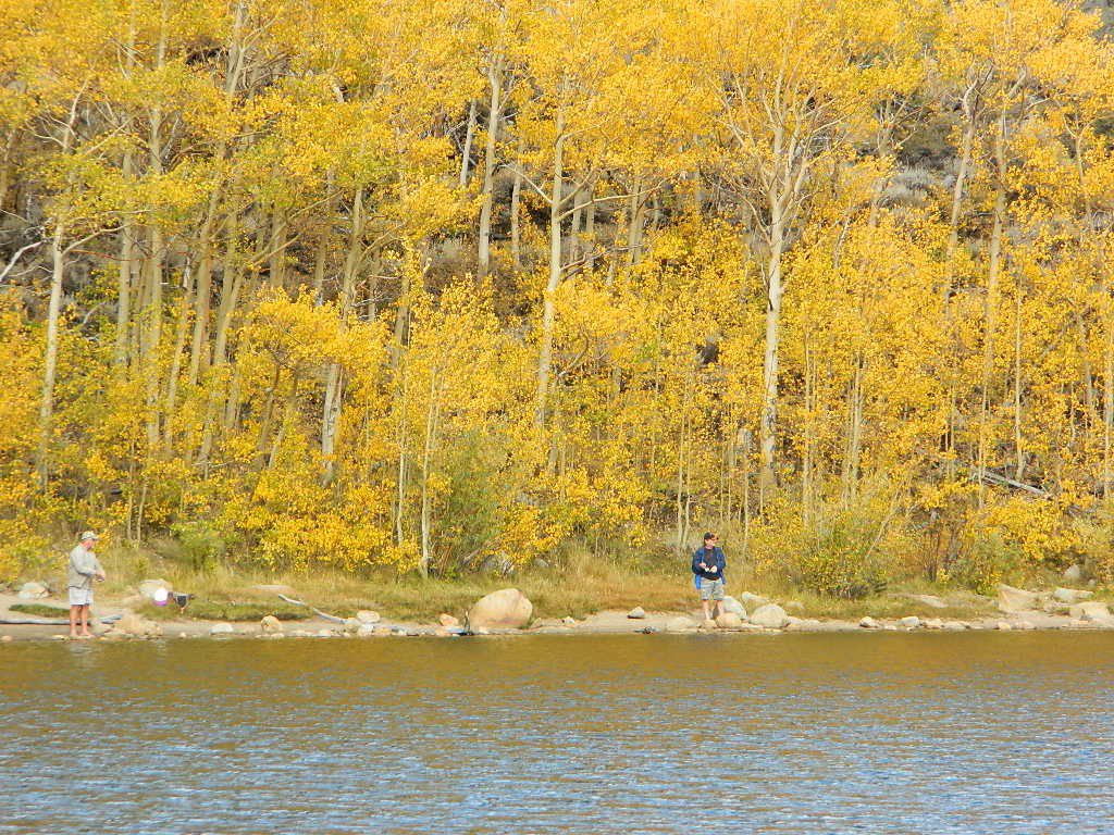
Finding a Creek & Reading a Map

Autumn Camping California

Autumn Lakeside

RV camping Tent Camp Fishing Hiking

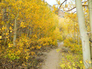
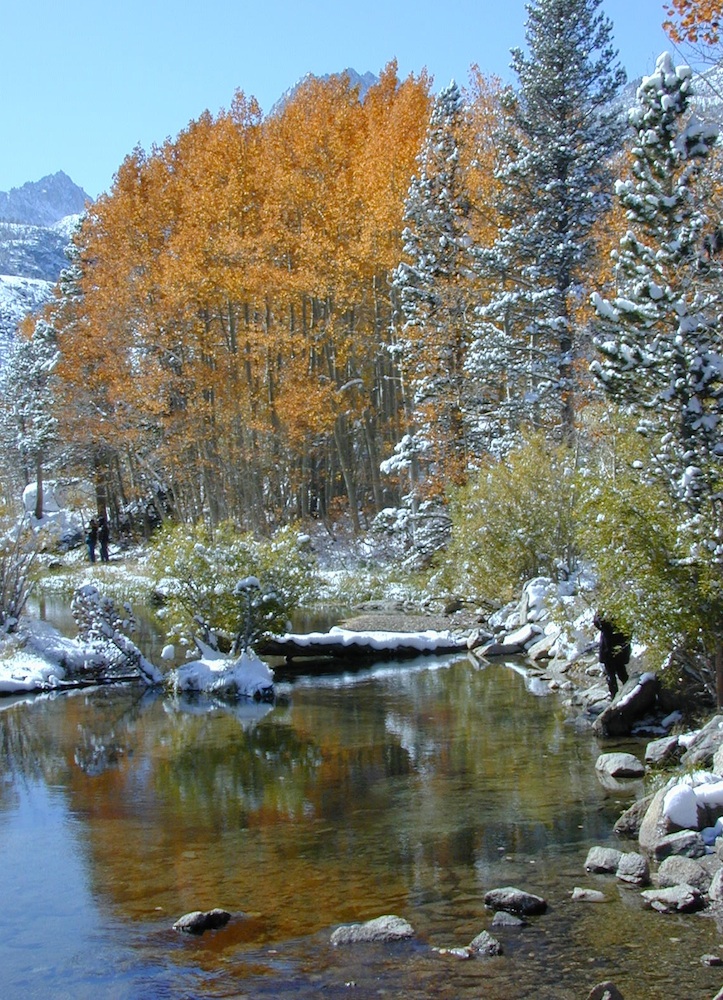
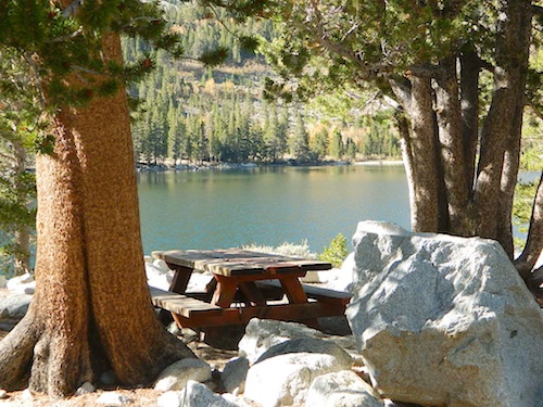
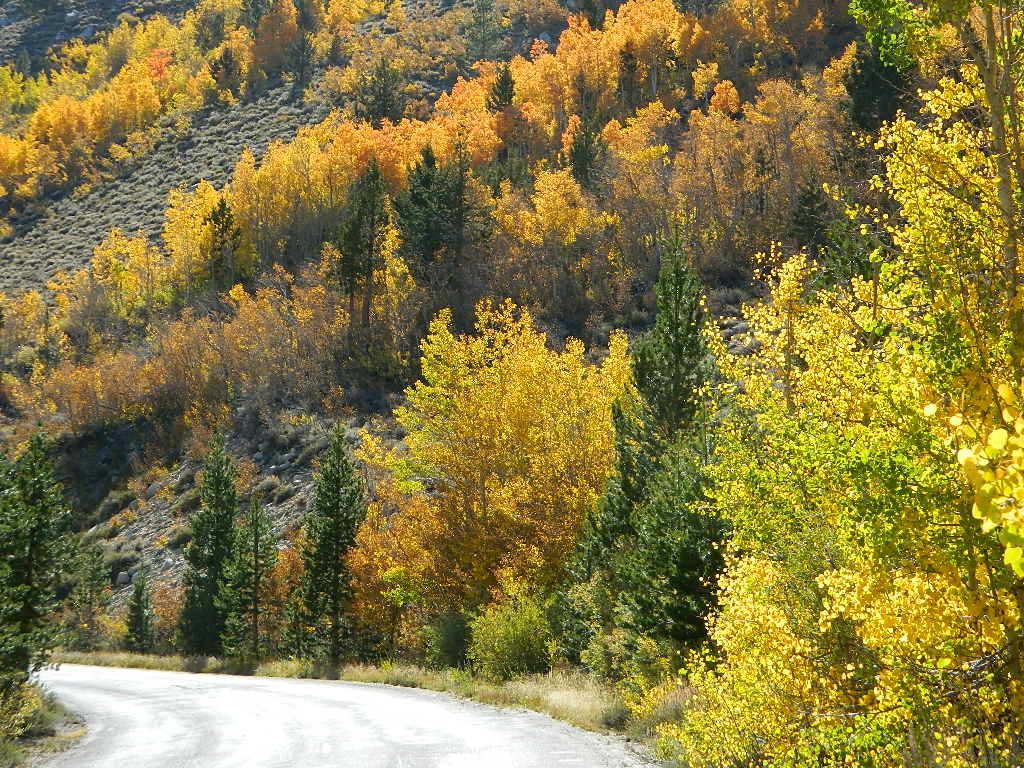
Amazing autumn colors can be found through OCTOBER and NOVEMBER in California, but you’ll need to leave the city in order to find the very best colors and scenic beauty. Fall season happens quickly (within weeks) in the high country and slower (months) in the lowlands. Plenty canyons and parks in the urban centers have hiking trails thru some nice trees, but nothing compares to the backroads, creeks and rivers of the big mountains.

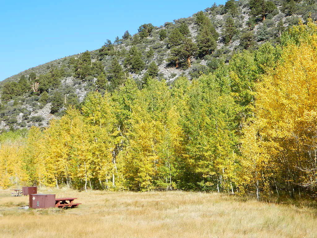
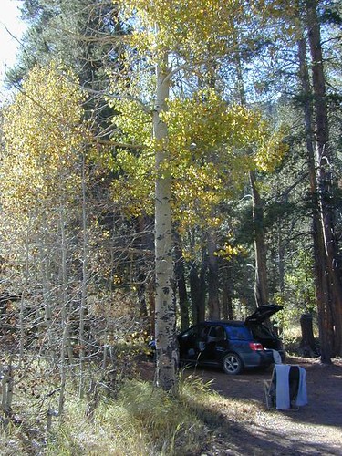
Elevations, the higher the better, is where you’ll find the real displays of color. Aspen groves can be found along mountain slopes, creek canyons from 5000′-10,000′ in elevation. Cottonwood trees are found in the drier regions, in ranching areas and in desert canyons – up to about 6000′ elevation. Aspen trees start to turn yellow as soon as the chill of nights drop; if the temperature shift is subtle, the aspen leaves become more orange as the days go into the fall season. If an early snow or freeze happens, just one night, the glorious foliage becomes dead brown crispies dangling in the wind.

campfire
CAMP FIRE RESTRICTIONS are still be in place from the dry summer, and now comes the autumn winds. Any decent amount of rain can change the fire burn status, so make sure to check with the rangers for up-to-date fire info.

Best Autumn Campgrounds in California  

Many of these campgrounds are located in or near aspen groves & are simply spectacular during the fall months. Some may be located near alder groves. Maple trees located along rivers turn golden between September and October. 

Higher elevation (7000′-9000′) colors will change faster and earlier in the year (as soon as September), whereas the lower countryside may wait until late October. 

Pack warmly, cuz the cooler temps at night (20-30 degrees) is what makes these awesome, little autumn leaves change colors. The change can happen very fast (in days). When the early season snows move in – usually a minimal dusting by October, fall colors can fade fast.

Southern California

Tent Camp

has minimal fall colors.

Big Bear Lake, CA
Lake Arrowhead, CA

Ojai Camping – Wheeler Gorge
Sespe Hot Springs (hike-in access only)

Camping

Southern and Central Sierra

have a few aspen groves and several cottonwood canyons.

Aspen Hollow Campground NFSNFSlogo
Giant Sequoia @ Hume Lake, CA
near Kings Canyon NP

Big Meadows Campground NFS
Stanislaus National Forest
Arnold, CA

Dinkey Creek Campground NFS
Sierra National Forest
Shaver Lake, CA

Kern River Canyon

Ponderosa, CA
Quaking Aspen Campground Tent Camp
Quaking Aspen CabinTent Camp
Giant Sequoia National Monumentcamp

Wishon Reservoir
Lily Pad Campground
Sierra National Forest

Yosemite National Park
Tuolumne Meadows, Hwy 120
Yosemite Valley Campgrounds

Kirkwood, CA
Blue Lakes Road
Carson Pass CA Highway 88

Camping

Northern Sierra

The North Sierra Nevada Mountains covers the region with Lake Tahoe and Donner Pass, and north Gold Country. River canyons with fall colors include American River, Yuba River, and the Feather River.

Aspen Group Campground
@ Jackson Meadows Reservoir
near Truckee, CA

Berry Creek, CA
Milsap Bar, Middle Fork of the Feather River

Bucks Lake, CA
Haskins Valley & Grizzly Creek Campground
Oro-Quincy Highway – Plumas NF

Downieville, CA
Yuba River Campgroundsshowers

Grover Hot Springs State Park  

Hope Valley, CA
Hope Valley Campground Tent Camp

Lake Tahoe

Camping

Autumn Bliss Hike

Eastern Sierra

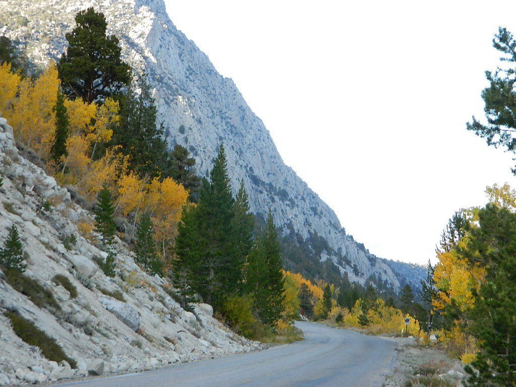
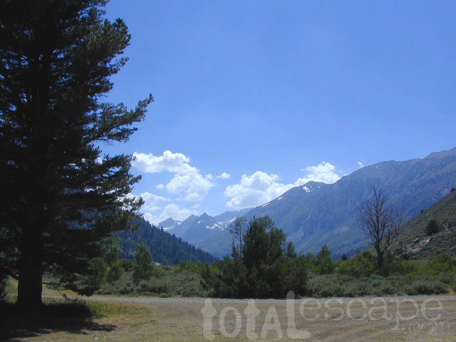
The Eastern slopes of the Sierra Nevada is the ‘place to be’ for Autumn Colors in California. The dramatic desert meets the tallest granite peaks. Every canyon is a different scene, many lakes lined with aspen groves, some have a creek with aspens.

Aspendell, CA
North Lake Campground
Lake Sabrina Road
Bishop Pass (high country hikes)

sabrina creeking

Bishop, CA
Bishop Creek, Hwy 168
Ancient Bristlecone Pine Forest – both Silver Canyon and
Cottonwood Creek have aspen trees. (both are 4×4 roads)

Bridgeport, CA
Green Creek Road w/ signage for
Dunderburg Meadow
Twin Lakes
Hoover Wilderness (high country hikes)

Independence, CA
Onion Valley CampgroundTent Camp
Kearsarge Pass (high country hikes)

June Lake, CalifoniaTent Camp
June Lake Loop #1S63 / CA Highway 158

Lee Vining, CA
Lee Vining Canyon / Hwy 120
One of the biggest aspen grove canyons in the state of California.
NFS campgrounds
NFS Campgrounds in Lee Vining Canyon: Big Bend, Aspen Grove, Boulder, Moraine, and Cattleguard Campground.
NFS Camps @ Yosemite’s EAST GATE (9000′ elev): Ellery Lake, Junction, Saddlebag Lake, and Sawmill Campground.

Lundy Lake
Virginia Lakes
Trumbull CampgroundTent Camp

Lone Pine, CA
Alabama Hills has a few cottonwoods.
Whitney Portal has some alder trees and a few aspens.hiker

Mammoth Lakes, CA
Red’s Meadow Campground
Devils Postpile NM
Laurel Lakes Road (rough dirt road)
Convict Lake

Tom’s Place, CA
McGee Creek Campground Tent Camp

Rockcreek Road
Impressive Rock Creek Road #4S12 in Rock Creek Canyon, one of the very best “Scenic Autumn Drives” in the whole Eastern Sierra. Numerous NFS Campgrounds on this road; many of which close for the season, just about the time then fall colors peak.

Rock Creek Lake Campground @ 9600′ elev Tent Camp

Iris Meadow Campground @ 8600′ elev

iris meadow
Iris Meadow on Rock Creek Rd

Camping

Northern California

The “North State” primarily has the big river canyons, most of which have fall colors. Eel River, Klamath, Yuba River, Feather Rivers.

Blue Lake Campground
South Warner Mountains
Modoc National Forest

South Warner Mountains
Road 64 Modoc NF

Eagle Lake
Aspen Grove Campground (walk-in camp sites)
Susanville, CA

Large Eagle Lake, N of Susanville, CA

Sundial Bridge, over Sacramento River
River RV Parks
Redding, CA

Weaverville, CA

Mount Shasta, CA
(downtown of Mt. Shasta City)

McBride Springs Campground
(slopes of Mount Shasta)

Lake Siskiyou
Beach Camp Resort & RV Park

4239 W. A. Barr Rd
Mount Shasta CA
530 926-2610

McCloud, CA
McCloud Falls,  South of Mount Shasta

Algoma Campground
McCloud Creek, South of Mount Shasta

MacArthur-Burney Falls State Park
Dusty Campground

Lassen Volcanic National Park
Lassen National Forest
Lassen Camping
Lassen Lakes

Susanville, CA
Bizz Johnson Trail
Roxie Peconom Campground

Siskiyou Autumn Colors
(still to come)

eagle aspens
Paved over aspen groves @ South Eagle Lake, CA


Chuchupate Campground

Lockwood Valley Campgrounds: Chuchupate

Los Padres National Forest, Mount Pinos Ranger District

chuchupate
Forested campground, paved access; Up behind the Lockwood ranger station
campground  elev.
spots
 veg toilet water comment
Chuchupate 6300′ 29 pines vault no open year round

open year round; campground reservations 805-434-1996

Chuchupate Views

Pinyon w/ jeffrey pines, a high desert feel to this mountain side ideal camp – where the Mojave desert merges with the coastal ranges in Lockwood. Up high near the Tejon Pass @ Gorman. Sage brush slopes w/ forested campground is approx. 6 mi. off Lockwood Valley Rd. via paved road #8N04 (also called, Frazier Mountain  Road).

Adequate for RVs, small creeks around this camp provide
decent vegetation. The sites on the outside back loop are best
for shade & seclusion. Good for a base camp for the weekend
& drive out to see the rest of Los Padres National Forest.
For the mtn. biker, this is a prime spot for hitting up the dirt
back roads on Frazier Mtn. Plenty of hiking and nice views
of the valley around too.

chuchu 21
Small campground w/ fee. On forested slopes of Frazier Mountain.

The easy to reach USFS campground can accommodate motorhomes, RVs, camper trailers up to 26 feet long. Paved access road is narrow and curvy and climbs the hill behind the large ranger station on Lockwood Valley Road.

Mt. Pinos Ranger District
34580 Lockwood Valley Rd
Frazier Park, CA
661-245-3731

  • backpack

  • camp

  • hike

  • horseback

  • mountain bike

  • off-road

  • picnic

  • stargaze

8N01
Paved road #8N04 FRAZIER MTN RD – starts @ Lockwood Valley ranger station

also nearby –

lockwood valley snow
Attention fair weather campers: Snow is possible in this location from DEC-APRIL. Call head for local conditions and know weather forecast before you climb the I-5 (Grapevine).

Campground San Bernardino

whitecliffs

Big Bear – San Bernardino National Forest Camping & Campgrounds

areas include:
Big Bear Lake, Fawnskin, San Gorgonio, Lake Arrowhead, Forest Falls, Green Valley Lake & Idyllwild

Listed below are all the San Bernardino National Forest campgrounds, public lands for outdoor recreation. SoCal campground reservations can be booked online with the linked campsites below.

Big Bear Campgrounds near Big Bear Lake & Fawnskin area

campground elev spots veg toilet water notes
Applewhite Campground 6800′ 42 pines vault piped disabled access, RV 30′
Barton Flats Campground 6300′ 52 pines vault shwrs disabled access, RV 45′
Big Pine Flats Horse Camp 6800′ 17 pines vault piped Way back 3N14, year round
Cold Brook Campground 7000′ 36 pines vault piped RV max 25′
Crab Flats Campground 6200′ 29 pines vault piped 3N16, Green Valley Lk
Dogwood Campground 7000′ 90 pines vault piped disabled access, RV 22′
Green Valley Campground 7000′ 37 pines vault piped Green Valley Lake
Hanna Flat Campground 7000′ 88 pines vault RV max 25′
Heart Bar Campground 6900′ 94 pines vault seasonal Hwy 38, equestrian
Holcomb Valley Campgr 7400′ 19 pines vault no Rd 3N16, year round
Horse Springs Campgr 5800′ 17 pines vault no Rd 3N17, year round
North Shore Arrowhead 5100′ 27 vault piped disabled access
Pineknot Campground 6400′ 48 vault piped disabled access, RV 45′
San Gorgonio Campground 7000′ 54 pines vault shwrs Hwy 38, disabled, RV 43′
South Fork Campground 6400′ 24 pines vault piped Hwy 38, RV max 30′

site12

San Jacinto Campgrounds near Idyllwild area

campground elev spots veg toilet water notes
Black Mountain Group 6000′ 16 pines pit piped group site
Boulder Basin Campground 7300′ 34 pines pit piped CLOSED
Dark Canyon 5800′ 22 pines pit piped CLOSED
Fern Basin Campground 6000′ 22 pines vault piped Rd# 4S02
Marion Mountain Campground 6400′ 24 pines vault piped Rd# 4S02
Pinyon Flat Campground 4000′ 18 pinyon vault piped bighorn sheep, year round
Santa Rosa Springs Camp 7000′ 3 pines pit no no RVs, Toro Peak
Thomas Mountain Camp 6800′ 6 mixed vault no no RVs, Rd 6S13; Lk Hemet
Tool Box Spring Campground 6500′ 6 mixed vault piped no RVs, above Lake Hemet
Toro Campground 7800′ 5 pines pit no Santa Rosa Wilderness

Southern California Camping see also –

Topo maps, wilderness hiking maps, Equestrian trails, OHV maps –

SoCal mountain communities include:

Big Bear Campsites

Silver Lake @ June

June Lake Loop

Silver Lake @ June Lake Loop

(Mono Co)

7700′ elev. Hwy 158, Backside of June Lake Loop, north of Mammoth.

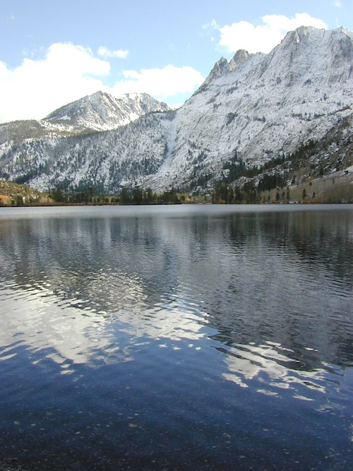
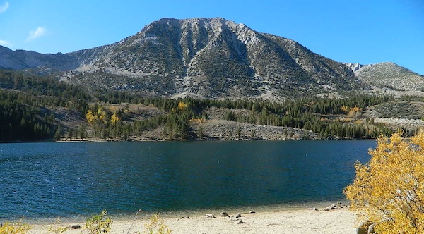
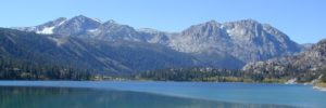
Prime hiking and fishing destination of the Eastern Sierra, California. With impressive Carson Peak (10,909′) towering as a granite backdrop for the lake, every day out here is super scenic. Unless, of course, blizzard white-out conditions occur – which is possible during winter.

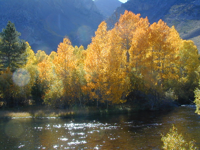
fishOctober-November, Autumn colors – at this particular location – tend to be fantastic, with aspen groves encompassing the lake, nearby streams and steep canyons.
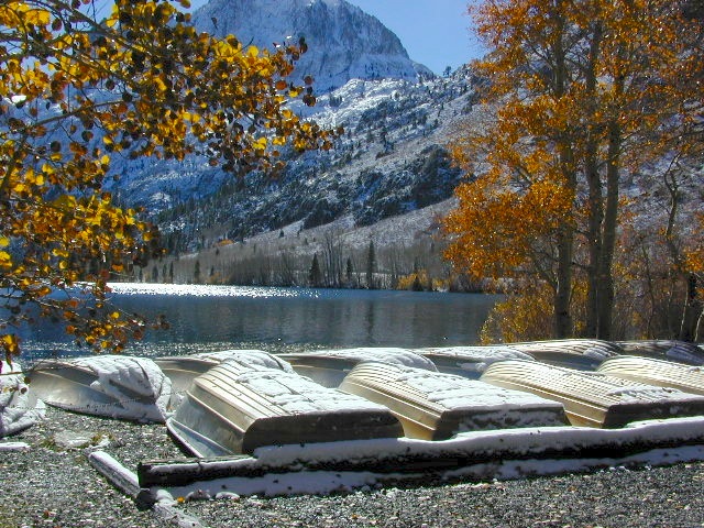
fish: Reverse Creek, Rush Creek, Silver Lake, Grant Lake, Gem Lake, Gull Lake, June Lake

golden glow june

Winter weather & deep snow can close the paved highway loop, so know road conditions and weather forecast before you go. This beautiful Silver Lake is within walking distance of two lodges – Whispering Pines & Double Eagle Resort, so if rain or snow is predicted make your reservations.

  • aspen groves
  • autumn colors
  • backpacking
  • camping
  • canoeing
  • fishing lake
  • hiking trails
  • horseback trails
  • kayaking
  • mountaineering
  • picnic grounds
  • RV camp

Rental Boats

Ansel Adams Wildernesshiker
Inyo National Forest
June Lake, CA

This gorgeous, 80 acre alpine lake is a popular campground for fishing, picnicking, hiking, summer and autumn camping. Accommodates tent camping and RVs. Boat ramp, grocery store, coin-op laundry – all nearby. Camp closes for snow annually.

Silver Lake Campground NFS campground

• Elevation: 7600′
• Number of Sites: 28
• Vehicle Accessibility: RV 20′
• Campsites Reservation: Yes
• Camp Fee: Yes
• Toilets: Flush
• Water: Piped/Potable
• Length of Stay: 14 Days
• Season: April – October

NFS
Inyo National Forest
Mono Lake Ranger Station
North US Hwy 395
Lee Vining, CA 93541
760-647-3044

lets go fishing

stars

See all Silver Lakes in California

McGee Creek Campground

McGee Shade

NFSlogo

McGee Creek Campground NFS

near Crowley Lake, CA
Inyo National Forest Campground, Eastern Sierra Nevadacamp

• Elevation: 7600′
• Number of Sites: 28
• Vehicle Accessibility: RV 22′
• Camp Fee: Yes
• Campsites Reservation: Yes
• Length of Stay: 14 Days
• Season: May – September
• Trailheads: McGee Creek, John Muir Wilderness

mcgee camp sign

Mc GEE CREEK CAMP is located –
8 miles north of Mammoth Lakes exit
4 miles from Lake Crowley
2 miles from McGee Creek Canyon trailhead

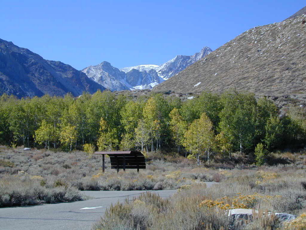
Aspen trees line McGee Creek that flows down from the Eastern Sierra peaks. Autumn is short and sweet, when the fall colors come and go – usually within a week or two. First snow fall of the season is generally in October and the camp closes for the winter season.

Located about a mile away from Highway US 395 in the wide open high desert. Sage meadows w/ minimal trees at camp. USFS has built shade structures for each camp site, so your time here is not spent in direct sunlight. Summer can get hot  and it can also be quite windy at this location.

  • backpacking
  • camping
  • fishing
  • hiking
  • mountain biking

mcgee creek

more McGee?

Closer to US 395 highway, there is a McGee Creek Lodge & Restaurant, right along the frontage road (Crowley Lake Drive).

And also, a more commercial camp called McGee Creek RV Park & Campground at the junction of McGee Creek Road.

Gold Country RV

camptruck
RV
RVdump

49er RV Ranch
Columbia State Historic Park
Columbia CA
209 532-4978

Angels Camp RV & Camping Resort
3069 Highway 49 South
Angels Camp, CA 95222
209-736-0404
888-398-0404

American River Resort
6019 New River Rd
Coloma, CA 95613
530 622-6700wildflower

Coloma Resort & RV Park
American River
6921 Mt. Murphy Road
Coloma, CA
800 238-2298
530 621-2267

Colusa Sacramento River SRA
Farming Town w/ Fishing
N of Sacramento, CA

Far Horizons 49er Village RV Resort
Plymouth, CA
800-339-6981

Glory Hole Campground
Glory Hole Recreation Area

Gold Country
New Melones Lake, CAcanoe

Golden Pines RV Resort & Campground
Camp Connell, CA
209 795-2820

Harmony Ridge Resort
10492 Harmony Ridge Rd
Nevada City, CA
800 273-0556
530 265-9313

High Sierra RV Park & Campground
40389 Hwy 41
Oakhurst CA
559 683-7662

Columbia State Historic Park
11255 Jackson Street
Columbia CA
209-588-9128

Lake Francis Resort
Northern Gold Country
Dobbins, CA
888 993-7344
530 692-1700

Rollins Lake / Rollins Reservoir –boatramp

Long Ravine Resort
Rollins Lake Campground

530 346-6166

Orchard Springs Campground
530 346-0073

Peninsula Camping & Boating Resort
530 477-9413

melones flora
New Melones Reservoir, Angles Camp, CA

Lake Tulloch RV Campground & Marina
Lake Tulloch
Jamestown, CA
800 894-2267

Plasse’s RV Resort
30001 Plasse Rd.
Sutter Creek, CA 95685
209 258-8814

Scotts Flat Lake Camping
530 265-530

Tuttletown Campground
Tuttletown Recreation Area

Gold Country
New Melones Lake, CA

Willow Creek RV Campground
North Gold Country
17548 Hwy 49
Camptonville, CA 95922
530 288-0646

Yosemite Pines RV Resort & Campground
20450 Old Highway 120
Groveland, CA 95321

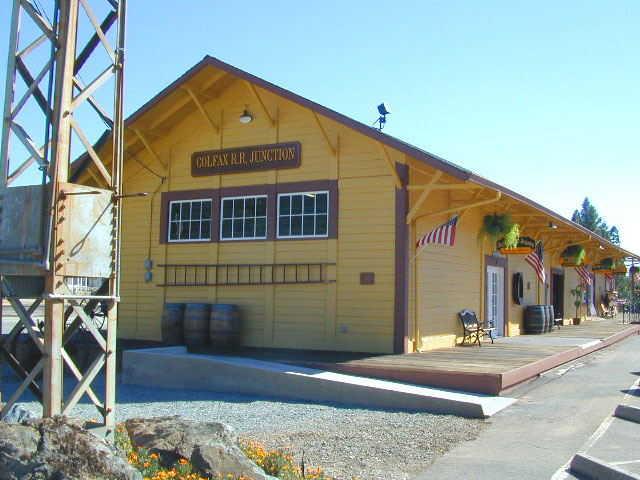
colfaxtraindepot
Colfax Train Depot

Great Overland Stagecoach Route of 1849

Canon Sin Nombre
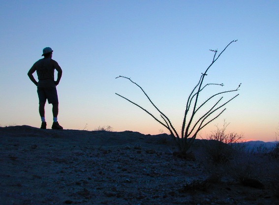
Sunset view of Canon Sin Nombre

San Diego County Road S-2

Great Overland Stagecoach Route of 1849Canon Sin Nombre
San Diego County Rd S2
San Diego County Highway S2

The awesome southern California desert, a stretch of road that traverses north-south direction on the west side Anza Borrego Desert; from Interstate 8 up to to Lake Henshaw @ San Felipe Road. Driving north you gain elevation from sandy badlands into the mountains, but trees are few and far off. Exit I-8 at 400′ elevation above sea level and gradually climb to 3000′ – over near Lake Henshaw & Palomar Mountain.

San Diego Road S-2 is about 50 miles long, through very scenic desert with interesting vegetation and paved the whole way. Perfect for RV travelers, as it has many camping options – from freebie, primitive camp spots to private campground resorts. Palm canyon hide-aways, secret shady spots, endless hiking canyons, and a campground with hot springs.

Carrizo Gorge TrestleS2 Road intersects California SR 78 at Scissors Crossing and continues north through the barren San Felipe Hills. The Southern California portion of the Pacific Crest Trail parallels the ridge line on the east side, with the town of Borrego Springs lying behind that ridge at 590′ elevation. The historic mountain town of Julian sits in the hills above Banner Grade (Hwy 78).

California Historical Landmarks, along S2

# 304 VALLECITO STAGE DEPOT
# 472 BOX CANYON (Anza Borrego Desert)
# 639 PALM SPRINGS (Anza Borrego Desert)
# 647 BUTTERFIELD OVERLAND MAIL ROUTE
# 793 SAN FELIPE VALLEY AND STAGE STATION

points of interest along this route:

California Interstate 8
Ocotillo, CA
Yuha Desert
Fossil Shell Canyon (BLM)
Anza Borrego Desert State Park
Mortero Canyon
Dos Cabezas
Carrizo Gorge Wilderness
Carrizo Palms
Carrizo Gorge Railroad Trestle
Carrizo Badlands & Overlook
Canon Sin Nombre
Coyote Mountains Wilderness
THSDmapHollywood & Vine
Fish Creek Wash
Old Carrizo Stage Station
Sweeney Pass
Bow Willow Campground
Canebrake
Agua Caliente Hot Springs
Vallecito County Park
Oriflamme Canyon
Box Canyon Stagecoach Route
Blair Valley
Ghost Mountain
Vallecito Mountains
Pinyon Mountains
Earthquake Valley
Shelter Valley
Scissors Crossing (@ Hwy 78)
Volcan Mountains Wilderness Preserve
San Felipe Creek
PCT – Pacific Crest Trail


View Larger Map

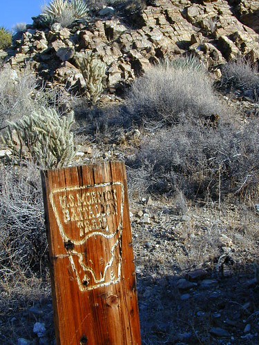
Antique signs still on trail (2001)

Smile Cheps

Oriflamme Canyon Anza

Santa Barbara Camping

Campground Santa Barbara – Lake Cachuma
Los Padres / Santa Barbara District:

campground elev spots veg toilet water notes
Cachuma Campground 2100′ 8 mixed vault creek year round creek
Fremont Campground 1000′ 14 oaks flush piped March-Sept
Lower Caliente Camp 1800′ 2 oaks vault no hot springs
Middle Santa Ynez 1500′ 9 trees vault creek shady
Mono Campground 1400′ 4 trees vault creek shady, 3 walk-in
Paradise Campground 1000′ 13 oaks flush piped reservations
P-Bar Campground 1500′ 4 vault creek water can close
Upper Oso Campground 1200′ 23 oaks flush piped corrals, OHV traffic

Some of these camps above may have been damaged in recent wildfires, so it’s best to inquire before you make the drive. Call rangers to verify or have a backup alternative (plan B). See more campsites @ Santa Barbara Beach Camping

Los Padres Forest Headquarters
Goleta CA
805/968-6640

Santa Barbara District
Santa Barbara CA
805/967-3481

San Lucia District
Santa Maria CA
805/925-9538

NFSlogo

Los Padres National Forest

maps of the Los Padres region –

dscn5027
Upper Oso Campground in oak hills behind Lake Cachuma w / horse corrals

Rock Creek Campground

rockintable
Rock Creek Lake 9600′ elev, Eastern Sierra

Numerous places named Rock Creek exist inside California. This particular Rock Creek page is specific to Camping and Campgrounds!

This compilation of “Rock Creeks” is to help with the confusing lists of similarly named camps and locations (which are many, inside California).

Lakes, rivers, canyons, campgrounds, 4×4 routes and wilderness trailheads. 

Eastern Sierra Campgrounds

List begins with the most well known –

Rock Creek Lake @ Inyo National Forest

Autumn Rock Creek
Rock Creek is a top destination for Autumn Colors in OCTOBER

NFS Campgrounds on Rock Creek Road listed below:

NFSlogo12 NFS Campgrounds are located around Eastern Sierra Rock Creek Canyon. Elevations range from 7000′ at the highway, to over 10,000′ at a trailhead parking lot at the road’s end. Most of these developed campgrounds listed are only open a few months outta the year, due to winter snow closures (NOV-APRIL). On occasion, snow can still be on the roads until MAY.

Tuff Campground ( @ frwy US 395)camp

French Campground (7500′ elev w/ 86 sites)
Holiday Campground (7500′ elev w/ 35 sites)

Aspen Group Campground (8100′ elev)

iris meadow
Iris Meadow Campground NFS

Iris Meadow Campground (8600′ elev w/ 14 sites) NFS
Big Meadow Campground (8600′ elev w/ 11 sites)
Palisade Group Campground (8600′ elev w/ 5 sites)
East Fork Campground (9000′ elev w/ 133 sites)
Pine Grove Campground (9300′ elev w/ 11 sites)

rockcreeklake

Rock Creek Lake Campground (9600′ elev w/ 66 sites) NFS

Rock Creek Lake Group Campground (by reservation) NFS

Mosquito Flat Walk-In Campground (trailhead camp) hikerSome maps may have this one listed as Little Lakes Campground, but that is just the official trailhead name.

Backpackers and horseback riders frequent this Eastern Sierra canyon a lot of the year. Many high country trails lead out to Sierra peaks, alpine lakes and sheer wilderness. Download PDF Map of this canyons hiking trails.

eastern sierra snowline
eastern sierra

More Rock Creek Camps

Rock Creek CampgroundMammoth Pool Reservoir, south of Yosemite National Park, behind Bass Lake, CA inside the Sierra National Forest (18 camp sites)

Rock Creek Campground – US Hwy 101 NorCal Redwood forests, north of Leggett, CA. Camp located on the Eel River, in the Standish Hickey State Recreation Area. (36 camp sites)

Rock Creek Loop Road – Dinkeycamptruck
Sierra Forest Road #9S09, off of paved Dinkey Creek Road. Excellent primitive camping along creek; 4×4 trailheads, as well as hiking & horseback trails. Small RVs okay. Dispersed camp sites, no facilities. Fire permits are required. Near Shaver Lake, CA inside the Sierra National Forest

Similarly named –

ROCK LAKE is located inside Lakes Basin Recreation Area, northern Gold Country @ Yuba River headwaters. Hike-in access only.4x4

And if you want some Central Coast wheelin – 4×4 camping and trails, see the ROCK FRONT RANCH on California Hwy 166, on the way to New Cuyama, CA

lower rock creek road
Lower Rock Creek Road, off US hwy 395

We will continue to add any more Rock Creeks to this page (as we find and photograph them). Stay tuned for more of the very best camping in California.


Best View Camp Sites

view campsite

Great Overlooks for Camping

Best View Camp Site in California 

Overlook Camps, View Spot Camp Sites

This camp list is comprised of primitive camp sites and developed campgrounds with good views overlooking a large area (valley, town, canyon, desert, river, ocean). Many ideal spots may require dirt road driving, and a few might need a 4-wheel drive vehicle to reach.

Prewitt Ridge, Big Sur Coast

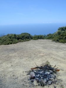
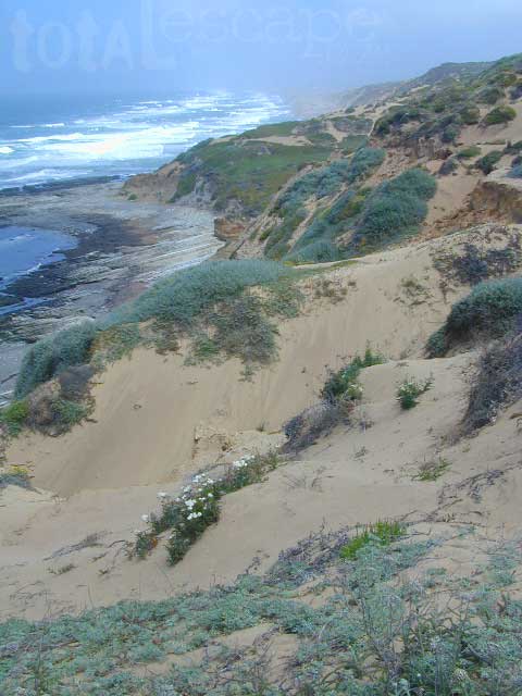
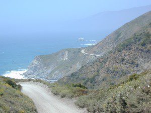
We were suggesting this very spot way back in 1999, well before anyone else was ‘blogging’ about it. This area is by far the best, free coastal camping on the Central Coastline of Big Sur. Dirt roads traverse 10 miles out to vacant ridges overlooking the Pacific, with steep hills down to the highway. Camp above the fog layer and above the crowds. Explore the beaches during the day, and camp above the traffic & crowds at night.

Dry brush is abundant on the mountains of Los Padres National Forest. Camp fire restrictions should be of utmost concern in this area, since wildfires burn here often. Camp fire permits are required for camping on the back roads, and much of the time camp fires are banned in this region. Call ahead to the rangers to find out the current conditions.

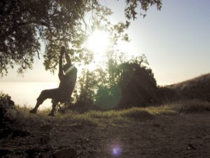
Swinger

Julia Pfieffer Burns State Park
Big Sur Coastline

Two prime walk-in camp sites, on a shady point, high above a beach cove w/ scenic waterfall.

Called “environmental camps” these highly desirable spots need advanced reservations w/ fees many months in advance. Tables, fire rings and a vault toilet. Bare bones basics, but the ideal location is worth it. A forested cliff on the edge of the ocean, high above a secluded cove. This location a can get windy if a storm moves in (generally October – March).

Los Padres National Forest

Kirk Creek Campground
on Highway 1 @ Nacimiento Road
Big Sur CA

Willow Creek Road # 23S01
primitive camping on dirt road, above Hwy 1 @ Gorda, CA

sunset watch

Reyes Peak Camping
North of Ojai, CA
Pine Mountain Summit, CA Hwy 33

Off Cerro Noroeste Road, W of Pine Mountain, CA

Above Santa Maria, Highway 166
West of New Cuyama, CA

  • Miranda Pines Campground @ 4100′ elev
    Located well off hwy. on Road #32S13

Mendocino National Forest

There are several primitive campsites off of M10 with views of chaparral and canyons. Just above Stonyford, CA, on the way up to Fouts Springs. Unfortunately Mendocino National Forest is may be closed for 2019 due Ranch Fire (wildfire 2018) w/ Snow Mountain Wilderness completely 100% burnt.
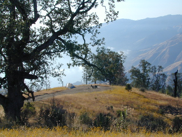
Planning more scouting of this region summer 2019. Stay tuned.

Angeles National Forest

  • Mount Pacifico Campground
    Angeles Forest Highway
  • Lightning Point Group Campground
    near Jackson Lake @ Hwy 2
Fire Safe Spot
Random ridge spot in Big Sur
john bull camp spot
john bull 4×4 camp

San Bernardino National Forest

Toro Peak Campground Rd# 7S02

toro_campsite

  • San Berdu has more than a few trail camps for 4×4 enthusiasts. Weekends can be busy all year long. Snow usually closes some routes. Pine forest in southern California means very tight campfire restrictions. All yellow post camp sites include table and a fire ring. Campfire permits are required.
  • East ridge line, rocky, dusty, 4WD-only route, the John Bull Trail (near Holcomb Valley) has ONE real awesome view camp spot with great spans over the Mojave desert w/ smog and city lights @ night.
  • Mesa Campground @ Silverwood Lake SRA

I-8 East of San Diego, CA

  • Larkin Campground
    McCain Valley BLM OHV
  • Mar Tar Awa above Viejas Casino
  • Sweetwater Summit Co Park San Diego

I-5 North of San Diego, CA

  • San Elijo Campground, San Elijo State Beach
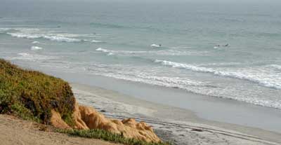
    Coastal cliffs, overlooking beach and ocean
    Solana Beach, CA

S-22  East San Diego County

Montezuma Grade, overlooking Borrego Springs & Anza Borrego Desert

  • Culp Valleyboulders, primitive camps on dirt roads; better views off-road. Vault toilet. Few tables, no signs. Small campground at the highway is easy to find. Boulders and bouldering. Mountain biking and hiking. Wildflowers in spring.
providence

Interstate 15 & I-40 Mojave Desert

view spot mojave

US Hwy 395 Eastern Sierra

inside Death Valley National Park

  • Mahogany Flat Campground steep dirt road access. Trailhead for tallest peak in the park, Telescope Peak (11,049′ elev)
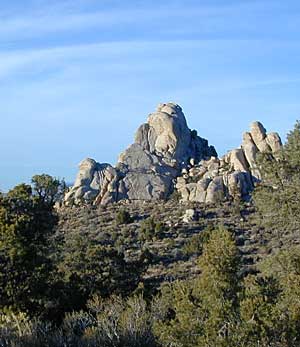
  • Tucki Mine, 4×4 route. Unmarked dirt road inside Emigrant Canyon, off Wildrose Road.

inside Inyo National Forest

ohridgeview
oh ridge view
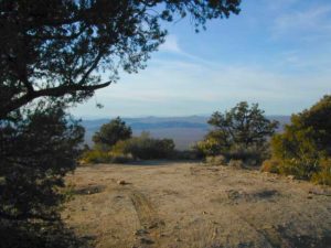
    • Coyote Flat @ Pinyon Boulders – 4×4 required, one primitive camp w/ great views overlooking the Owens Valley & peaks to the east. Coyote Flat has views toward the Sierra
    • Oh! Ridge Campground Off the main highway 158, June Lake Loop
      (148 sites @ 7600′ elev.) near June Lake, CA
    • Onion Valley Campground – High Sierra @ 9200′ elevation. Trailhead to Kearsarge Pass. W of Independence, CA

4x4 Camps

Western Sierra Nevada Mountains
Sierra National Forest

cabin rental

NFSsee also – NFS Fire Lookouts & Rental Cabins
many of which have excellent views of the wilderness areas; a hike or climb may be necessary

Colorado River Camping

Multiple riverside RV havens, county parks, and campgrounds near Parker, AZ

Riverside RV parks in Blythe, CA

Riverside RV parks in Lake Havasu, CA

coloradoriverRV
colorado river camping


Bucks Lake Campgrounds

indian rock
Indian Rock is a beach (day use only) on the west side.

Bucks Lake, California

Below is a list of all the developed campgrounds & RV Parks surrounding the Bucks Lake region of Plumas National Forest in the Northern Sierra Nevada mountains. The infamous Pacific Crest Trail (PCT) runs through Bucks Lake Wilderness, so there are also trailhead camps and backcountry camp sites that are not in this list. This high elevation region closes the campgrounds for winter: NOV- APRIL

campgrounds RV campgrounds fishing lakes campgrounds launch lake camping hiking lakes

Campgrounds at Bucks Lake

campground elev spots veg toilet water
Hutchins Group Camp 5200′ 10 pines flush piped
Lower Bucks Campground 5200′ 6 pines vault piped
Mill Creek Campground 5200′ 10 pines vault piped
Sundew Campground 5200′ 19 pines vault piped

NFS camps

NFS Camps nearby

campground elev spots veg toilet water
Deanes Valley Campground 4400′ 7 mixed vault creek
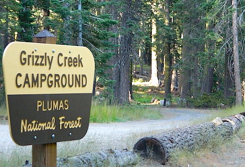
Grizzly Creek Campground 5400′ 8 pines vault piped
Silver Lake Campground 5800′ 9 pines vault lake
Snake Lake Campground 4200′ 14 mixed vault lake
Whitehorse Campground 5200′ 20 pines vault creek

USDA
Plumas National Forest

Oroville Ranger Station NFS
530-534-6500

Quincy Ranger Station NFS
530-283-0555

Bucks Lake CA

PG&E Campground @ Bucks Lake

Haskins Valley Campground
16731 Bucks Lake Rd
530-283-0256

Grizzly Forebay Campground
CLOSED in 2013 by PG&E
530-896-4263 (for more info)

RV Parks @ Bucks Lake

Bucks Lake Camp & RV
280 Bucklin Road
530-283-2221

Bucks Lake Marina
16469 Bucks Lake Rd
530-283-4243

Lakeshore Resort
16001 Bucks Lake Rd
530-283-2848

grizzly creek

Winter Wheelin

winterwheelin

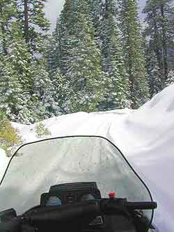
Winter wet weather doesn’t need to put a damper on your outdoor exploring, if you can get your hands on a 4×4 vehicle. Almost any SUV or truck with 4 wheel drive is capable of driving through some snow or mud. Just how deep is the mud (underneath the snow) is usually the big question. Many National Forests and State Parks close certain dirt roads due to over-use, or to control soil erosion and prevent the deep muddy ruts which are costly to re-grade come springtime. Call ahead to the rangers to find which back road routes are indeed open, or bring your printed topo map and wing it.

California Road Trips

The California destinations listed below are popular winter spots for off roading enthusiasts. Some places may be busier than others. The dirt roads surrounding these spots are real treasures, so try to plan an all-day loop trip if possible. Camping w/ a campfire permit is an option on many back roads. Plenty lodging in nearby small towns if winter camping is not your thing.

ghost towns

Bodie State Park
Randsburg Mining District
Calico Ghost Town
Ballarat in Panamint Valley
Skidoo @ Death Valley NP
Barker Ranch, Goler Wash @ Death Valley NP
Panamint City @ Surprise Canyon
Cerro Gordo – 4×4 Inyo
Oatman, Arizona

California Road Trips

hot springs:

primitive tubs
hot springs resorts
hot spring campgrounds

fishing spots

Green Creek Road
Walker River
North June Lake Loop
Trinity River

California Road Trips

California Mountains, Viewpoints & Fire Lookout Towers

Bald Mountain, Shaver Lake
Cuyama Lookout, Santa Barbara Canyon, Ventucopa, CA
Coyote Flat, Bishop, CA
Los Padres National Forest
Mount Pacifico, Angeles Forest Highway
Upper Lytlle Creek, Wrightwood, CA

see – NFS Cabins Rentals & California Fire Lookouts

California Road Trips

Indian Casinos

Tribal lands are mostly located in rural regions which always have plenty of dirt roads to explore. Get a good back roads map for the public lands nearby, parks, BLM, National Forest. If the overnight camping is dropping into the twenties or teens, then know the forecast. A good rule of thumb for California hotel stays: If the low temps overnight are below the cost of a hotel room at the nearby casino, the comfy lodge might be well worth considering.

Avi Casino
@ California – Arizona border.
The Laughlin casino in the middle of nowhere, right on the Colorado River. Jet ski rentals, swimming pools and spas, restaurants, RV park. The historic Mojave Trail, aka Mojave Road, starts next to the property.

Gold Country Casino
@ Lake Oroville, California
Sierra Nevada mountains Northern California. Conveniently located near Feather River (all 4 forks) and Plumas National Forest, with Berry Creek and Bucks Lake Wilderness to explore. Snow often closes the highest elevations.

Viejas Casino
@ Pine Valley, East County San Diego
Great bouldered mountains with back road exploring, hiking, mountain biking trails, all easy access from Southern California. Get a Cleveland National Forest map and expect some road closures near Laguna Mountain Sunrise Highway, especially when it snows.

Diamond Mountain Casino
Susanville, Northern California
Located in between US Highway 395 and Mount Lassen, the scenic Susan River region has lots to offer for the outdoor enthusiasts. Plenty of roads to explore, some big lakes too. Many Forest roads could be closed due to snow, so be warned and call ahead to the ranger.

Native Californians

Indian Rock Art
Petroglyphs are found in numerous locations throughout the deserts of the SouthWestern US. Inscription Canyon Mojave. See more on Native American rock art or explore photos.

California Road Trips

California Beaches
Oceano Dunes, Pismo Beach
Lost Coast, Northern Cal Redwoods
Black Sands Beach, Shelter Cove (open to foot traffic only)

California Deserts

Anza Borrego Desert State Park
Joshua Tree National Park
Box Canyon @ Mecca Hills
Mojave National Preserve
Canebrake Road, Kern Mojave
Black Canyon, Barstow, CA
Panamint Valley, near DVNP
Death Valley National Park
Bodie State Historic Park

California Off Road Parks

These are parks that specifically offer trails and obstacles for off-roaders. Entrance fees and camping fees are usually charged at the entry gate.

Off Highway Vehicle Areas (OHV)
State Vehicle Recreation Areas (SVRA)

Other Off Roading Options

The whole Carson City area in Nevada has some excellent dirt roads to explore. Old mines, caves, many miles of pinyon forests. Lake Tahoe is nearby with luxury resorts, casinos and snow skiing.

If you just can’t stand the cold and snow, then warmer climates lie to the south. Baja California is a tourist/traveler and off-roader haven in the wintertime.

Holiday Wheeling
Jawbone Canyon for Thanksgiving weekend will get dirt bikes by the thousands and big families. Christmas is busy around the Palm Spring desert destinations – like Joshua Tree. Easter weekend is popular w/ wildflowers and campers in Anza Borrego Desert.
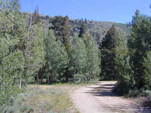
RV camping
Occasionally, wide graded dirt roads lead to secondary routes, so overnighting it with a motorhome on the back roads is very possible (if deep mud is not present). RV camping is quite the tradition for Southern Californians. Desert off roaders in tow, all over the Mojave. Steer clear of busy family groups. Pick a lesser known area to camp and explore. Get your real topo maps out and choose easy access from pavement, but wide graded dirt roads are best. Plenty roads like this in the Eastern Sierra, on the east side of US Hwy 395. RV campers that follow Total Escape might very well be interested in testing the limits of their recreational vehicle, slowly.

AWD Sportwagons
Before AWD got marketed as 4WD, Total Escape was way out there exploring in a 2 wheel drive and posting it online for you. All wheel drive station wagons should stick to the paved and plowed roads. If you plan to do a lotta dirt road driving in the old Subaru, keep the rock crawling to a minimum. If not, you may want to invest in a skid plate for the oil pan. Nothing beats first hand experience and learning ahead of time how your car will behave before you loose control on icy dark steep roads. Go practice with the emergency break and get the vehicle in a wide open snow plowed area if possible, just avoid the temptations to get wild. Don’t get the doughnut urge and plant yourself in a tree. Remember, it’s not like the commercial showed us, those are closed roads they are filming on.

Snow Chains
If you plan to be off roading in snow or mud at all you might want to consider some important safety items: tire chains for snow, a tow strap and tire plugs for flats. If you own a high clearance 2WD SUV, you could benefit from running chains on all four tires when snow is present. How deep the snow gets and how steep the hills are, determines how far you can go without a real 4 wheel drive. Some choose to rent a 4WD for the weekend road trip.

Snow Plow - the first pass
Snow Plow First Pass

Carry these items when traveling in winter conditions:
tools, jumper cables, tow strap, emergency gear, first aid kit, real boots, extra clothes, blankets, flashlights, food, drinking water, cell phone, maps


California Reference
California Road Conditions
California Weather
Sierra Highway Conditions

and just imagine when you can’t get past the deepest snow, it is time to try California Snowmobiling

Central Coast Beach Camping

DSCN0477

Beach Camping
on the California Central Coast

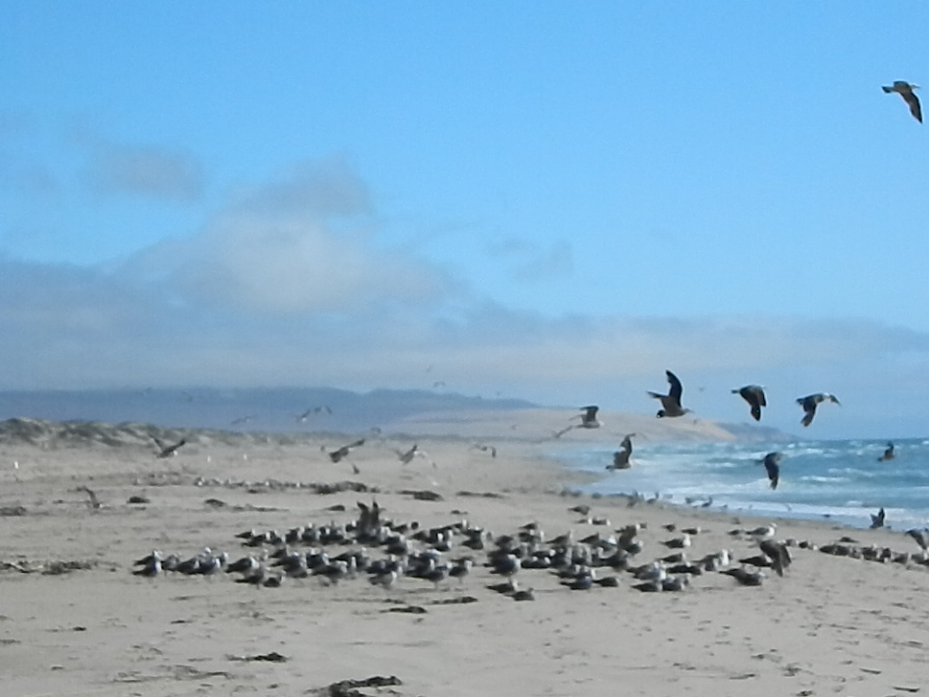
Camping right on the sand is possible in California, you just need to drive far enough to find it. Campground reservations are common (year round) on this stretch of coastline, since PISMO is a premier vacation spot for most of Central California.

blue links lead to State Park pages for camp reservations  camp

This camping page features all beach front camping options along the Central Coast, from Santa Barbara to Big Sur. State Parks, State Beaches, bay side marinas and rugged rural coast camps. We even list private campgrounds and RV parks, just so you have more choices.

Santa Barbara Camping & State Parks

Flying Flags RV Resort, Buellton, CA

River Park RV Campground, Lompoc CA

Santa Maria Pines Campground (CLOSED)

San Luis Obispo Camping, Off Road & RV Parks

pismo beach

Pismo Beach Campgrounds

Oceano Dunes State Park (SVRA) – Pismo Dunes Off Road Area State Park

DSCN2931Pismo State Beach State Park

  • North Beach Campground

county park camping Pismo

RV camping near Pismo, CA

Pismo Coast Village RV Resort

Pacific Dunes Ranch & RV Resort

Pismo Sands RV Park

Le Sage Riviera RV Park, Grover Beach, CA

Montana de Oro
Steep Cliff Dunes @ Montana de Oro State Park

San Luis Bay & Point Conception
Avila Beach, Morro Bay Camping

Avila Beach RV Camping Sites

Avila Beach Hot Springs Camping

Montana de Oro State Park State Park

El Chorro Regional Park Campground

Morro Bay State Park Campground State Park

Morro Strand State Beach State Park

Morro Strand RV Park

Morro Dunes RV Park

DSCN3175

San Simeon & Big Sur Campgrounds

San Simeon State Park Campgrounds State Park

  • San Simeon Creek Campground
  • Washburn Primitive Campground

Big Sur Camping & State Parks

Big Sur Coast


Los Padres National Forest

USDA National Forests lies inland along the Central Coast of California, all the way from Ventura to Monterey.  Numerous recreational lakes and back roads that lead to secluded small campgrounds. Primitive dispersed camping is allowed, but campfires are limited to local fire restrictions. The later part of the year means drier conditions and sometimes campfires are not allowed during wildfire season. Obtain a free campfire permit & check current conditions from the local ranger before venturing into the backcountry.

Central Coast Inland Lakes Camping

Launch Spot
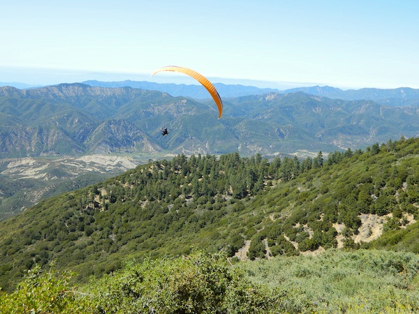
Flying high at Reyes Peak Launch Spot, Los Padres NF

Orange County Beach Camping

Orange County Coastal Camping

OC Beach Campgrounds

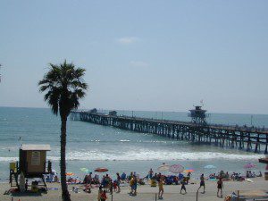
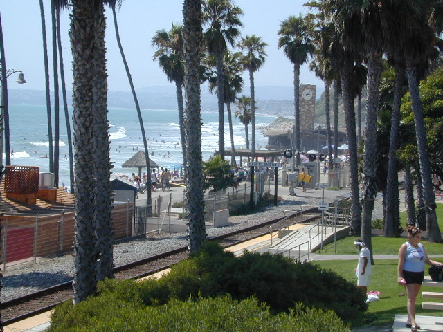
The overdeveloped Orange County coast is packed with condos, homes, parks and beaches, coastal villages, restaurants, shops and train tracks, so campgrounds in this region are few and far more popular than one might expect. Since Los Angeles has very limited beach camping options, most tourists wander further south for SoCal beach camping on the OC or San Diego coast line.

blue links lead to State Park pages with camp reservations.

State Park

Orange County Coast Campground reservations are highly recommended all year long, so make sure to plan ahead.

pierscene

Bolsa Chica State Park
Huntington Beach, CA

Crystal Cove State Park
Tent Camp & Beach Cottages
Laguna Beach, CA

Doheny State Beach
Dana Point, CA

Huntington State Beach
Huntington Beach, CA

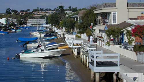
Newport Canals

Newport Dunes RV Resort
Newport Beach Resort & Marina
Newport Beach, CA

San Clemente State Beach
San Clemente CA


DSCN0037

see more on OC towns –
Seal Beach, CA
Huntington Beach, CA
Newport Beach, CA
Laguna Beach, CA
Dana Point, CA
Capistrano Beach
San Clemente CA

San Diego Beach Camping

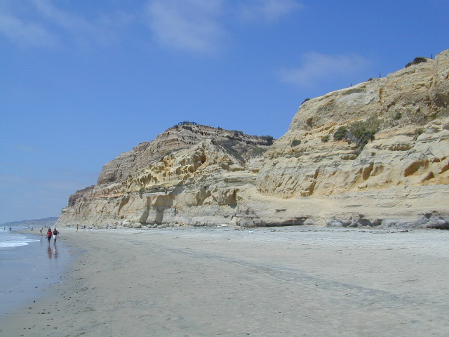
Coastal Cliffs San Diego

San Diego Coastal Campgrounds
Mission Bay & North County
SD Beach RV Parks & Camping

RV camps camp

San Diego’s mild climate means camping is available all year round. Winter storms can get windy and rainy, but most campgrounds are still open. From north county where the coastal cliffs overlook the ocean, to downtown bay side marinas w/ RV camping, to camping right on the sand w/ ocean crashing just feet away. Bike paths are common around downtown San Diego, so you can bring your bike or skates.

San Diego has 2 BAYS, both located along Interstate 5: The main bay downtown is called San Diego Bay (one of the deepest on the west coast) and the other a few miles north, is named Mission Bay (a man-made coastal waterway w/ green parks and paved bike trails).

Reservations are required at almost ALL coastal campgrounds, especially around holidays, any 3 day weekends, and all summer long. Tons of tourists flock to Southern California and this is a very popular coastline – with busy little cities and crowded beach towns. Beware: if you are seeking secluded camping – this would not be the place.

Best Beaches

listed from south to north

Carlsbad Cliffs

There are numerous private RV resorts, some quite large, like KOA and GoodSam parks located in and around San Diego county. Most are metro-close and not located on the beach. This list is primarily coastal camping options for the San Diego region.

camping SoCal

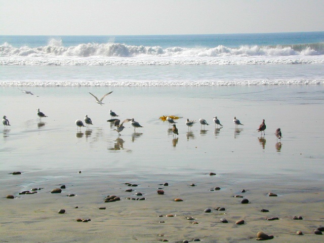
Seagulls at Cardiff

see also
San Diego Campground Camping

see a list of all
San Diego cities & towns

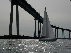
baybridge

San Diego Camping

Redwood Beach Camping

NorCal Redwood Coastal Camping

Redwood Campgrounds

Del Norte County, Northern California

redwood101

There are a few special places in California where redwood trees grow right down to the shore, but it is rare. Searching for place to pitch a tent (under the redwoods at the coast) is possible, but a bit harder to find than you might imagine. State Parks usually offer the standard paved camp site. Maybe need to drive dirt roads to find redwood seclusion.

Crescent City Camping

redwoodmap

Klamath Coast Camping

blue links lead to State Park pages with camp reservations.

State Park

Redwood Park Campgrounds State Parks

Redwood National Park National Park
Camping 

  • Demartin Campground
  • Flint Ridge Campground
  • Mill Creek Campground
  • Nickel Creek Campground (backcountry)

Eureka RV Campgrounds

redwood camping norcal

If you are seeking free or dirt cheap, primitive camping on the coast, then LOST COAST CAMPING on the Mendocino border is one option. Or head east, inland to the abundant National Forest. Dirt roads of the Six Rivers National Forest offer old logging roads, creeks, and secluded places to pitch a tent. Campfire permits are needed for dispersed camping, or ‘boondocking’ as some call it.

Dirt back roads can get muddy during the wet season, so know your vehicles capability and if you are unsure, check with the local rangers over the phone (preferably a ‘field ranger’) before venturing out. Remember that rain and mud are the norm, most of the year.

Fog is typical of the region. Enjoy the sunshine – when you can!

see more towns nearby –

Smith River
Crescent City
Klamath
Orick
Trinidad
Arcata
Eureka
Scotia
Ferndale
Petrolia
Garberville
Redway
Shelter Cove

Green Creek Road

Mono County Wildlife Area
Mono County Wildlife Area, Green Creek Road- off Hwy 395, near Bodie

Green Creek California

Eastern Sierra

S of Bridgeport, CA
MONO – Road #142NFS

Toiyabe National Forest
Bridgeport Ranger District

If you are thinking about fishing or camping the Eastern Sierra, North of Bishop & you are not up for the crowds at Mammoth or June Lakes, then try the Bridgeport area, north on Hwy 395. Rural ranch lands along main road, Bodie ghost town turn off across the highway and Virginia Creek Settlement are also nearby

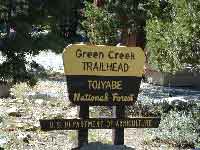
Green Creek is a 11 mile long dirt road in the lush Eastern Sierra the northern portion. The wide, graded dirt road is signed and dead ends at a Toiyabe National Forest campground called Green Creek Campground. The drive up can be washboard bumpy in some parts, but that doesn’t stop the hundreds of adventurous motorhomes that make this trek annually. This place features some of the best prime Sierra back roads camping options for RVs.

Another dirt route, Dunderberg Meadow Road peels off to the left. Dunderberg departs  off Green Creek a couple of miles from the highway and well maintained. This route leads to meadows, aspens, picture perfect scenery and much more seclusion. Passenger car accessible, wide graded dirt roads to wilderness edges. Two-track one lane trails lead to meadow edges and more creeks. Very impressive views of the Sierra peaks over here on this side. Meadows are sensitive areas, wonderful for picnics and you should always minimize impact.

State Park California

Green Creek Wildlife Area
Mono County, California

Aspen Grove Camping for RVs

  • alpine lakes
  • backpacking
  • bird watching
  • camping
  • creeks
  • day hikes
  • fishing
  • hiking
  • horseback
  • hunting
  • mountain biking
  • wildlife
  • wilderness

Plain old passenger cars can easily make this route deep into the Eastern Sierra aspen canyon. Graded dirt and4x4 could be needed winter months. Backpackers can enjoy easy access to the Hoover Wilderness trailheads. There is plenty semi-primitive camping spots along the way, right on the creek, for free…. so no need to sleep in your vehicle upon arrival.

Autumn Aspen Groves: fall colors peak in October, which is usually when the first snows for the winter season start. November – usually the freeze gets them and lifeless brown leaves dangle, until the Sierra Nevada wind gust blow real good.
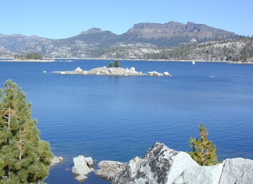
camp

Green Creek Camping

DIRT ROAD CAMPING

  • alpine lakes
  • backpacking
  • car camping
  • day hikes
  • fishing camping
  • meadows
  • RV camping
  • tent camping

Hoover Wilderness

Dispersed, primitive camp spots along this main dirt road are on a first come basis. You’ll need a fire permit. Many flat camps are set along the creek in aspen groves, some pines, others have  cubby hole privacy. Large granite valley, big creek, bird, scenery and nature everywhere.  Some folks spend weeks camping out here in the warm weather months. Fishing is a big attraction.
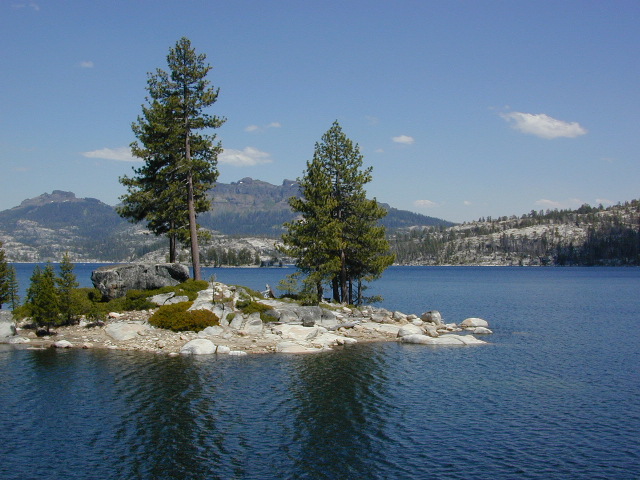
Old Cabin in autumn leaves, up near the top of the dirt road deep in the aspen grovesNFS

Green Creek Campground USFS
7500 elevation
11 camp sites
fee, open May – October
trailhead parking nearby

hiking trails lead to

hikes

TOPOGRAPHIC MAPS:

Aspen Camp

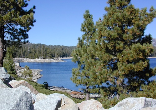
Spicer Reservoir

spicer terrain


Spicer Meadow Reservoir

Spicer Meadows, Spicer Reservoir, Rd #7N01
Spicer Lake, Stanislaus National Forest

lake elevation 6418′
227 surface acres

public boat ramp
hiking trail around lake
more lakes nearby

Ebbetts Pass Sierra Hwy 4

Ancient volcanic peaks mix with Sierra Nevada granite rock, pine forests and fresh, clear, clean mountain water! California, of course.

Stanislaus Forest Road #7N01 leads down from Highway 4 to this popular series of alpine lakes and reservoirs. Camping, fishing, hiking and mountain biking. Sailing, canoeing, kayaking, swimming, floating and fishing are also popular water activities.

Rules of the Reservoir:
10 mph speed limit on Western Arm.
No motorized boating in Eastern Arm.
Camp only in developed Campgrounds.

NFS
2 NFS Campgrounds at west end of lake:

  • Spicer Campground (60 sites)
  • Spicer Group Camp (75 people max)
  • Campgrounds only open June-September. Some campsites at the campground are wheelchair accessible.

    Additionally, Stanislaus River Campground w/ only 8 sites, is located just off the main access road #7N01, right near the river.

    spicer lake shore

    Spicer #7N01

    Numerous smaller lakes in the region make this a hot spot for summer vacations. Union and Utica Reservoirs (both with dirt road access) are good for kayaking and canoes, while power or sail boats prefer the larger Spicer Lake. Summit Lake and Elephant Rock Lake are perfect for quite picnics and day hikes. Trails (many unmarked) connect the lakes to each other. Area gets buried with snow in winter, so these roads are generally only open half the year.

    More reservoirs and lakes nearby:
    Highland Lakes
    Mosquito Lakes
    Lake Alpine, CA
    (all along Hwy 4)

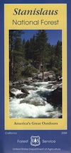
    Stanislaus National Forest Map USDA
    Stanislaus National Forest Map USDA

    Nearby mountain towns:
    ARNOLD, CA
    BEAR VALLEY, CA
    Lake Alpine, CA

    7N83 – Stanislaus NF

    whitehorse

    Forest Road #7N83 – Clark Fork Rd
    Paved spur road, off Highway 108, Sonora Pass

    Stanislaus National Forest
    Clark Creek, flows west to Middle Fork Stanislaus River
    Horse camping, Campground Camping, close to trailheads

    NFS Campgrounds on this road:
    NFS

    Clark Fork Campground
    Clark Horse Campground
    Sand Flat Campground

    Clark Canyon is a popular horse camping area in Stanislaus, located in between 9000′ – 10,000′ elevation peaks. This Sierra Nevada area is known for volcanic features and nice meadows. A small set of (hidden) cabins and pay phone along highway will be the best landmark for identifying the Clark turn off.

    Hiking trailheads on this road:

    Iceberg Meadow Trailhead
    Carson Iceberg Wilderness Area

    Forest Road #6N06, a dirt road to higher elevations and primitive camps, is also close by. Traversing up above the Fence Creek Campground (NFS).

    Topo Maps of this Region:

    Stanislaus National Forest Map USDA
    Carson Iceberg Wilderness Map USDA
    Carson, Emigrant, Mokelumne Map NatGeo
    Sierra Nevada Topo Map

    clarkstrails

    Closest towns:

    Dardanelle, CA
    Pinecrest Lake, CA
    Twain Harte, CA