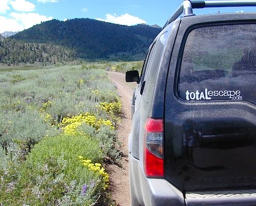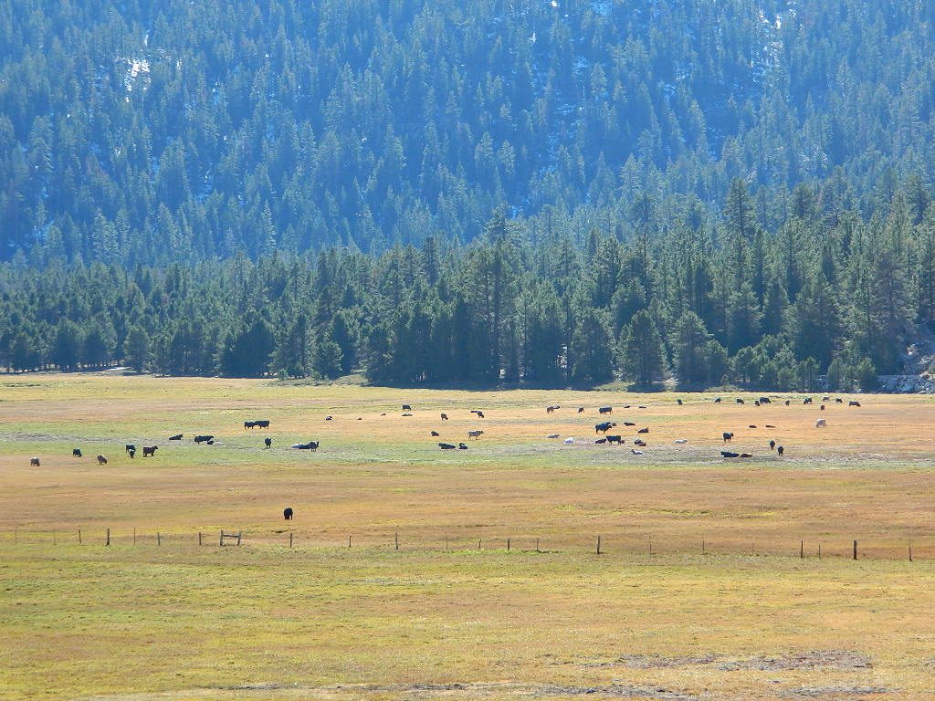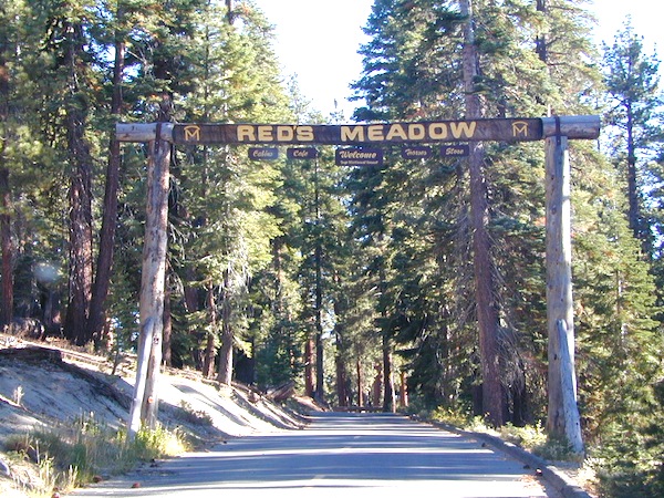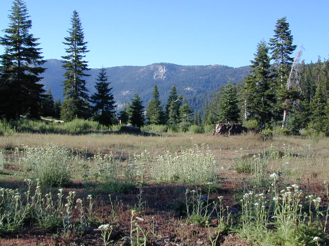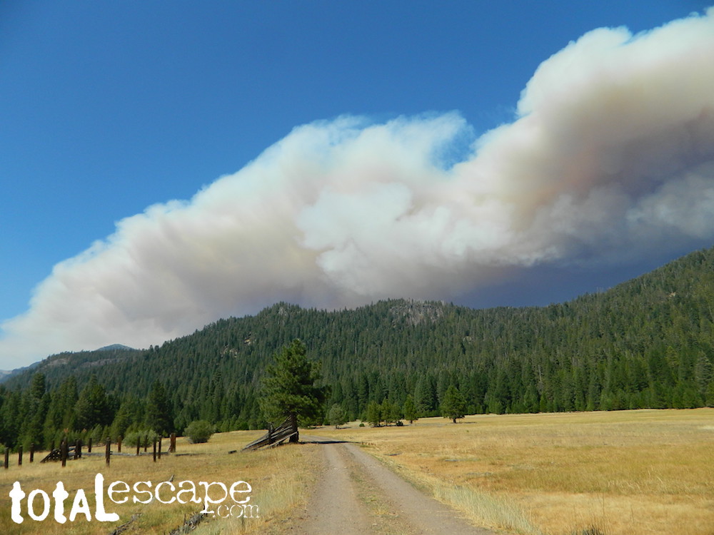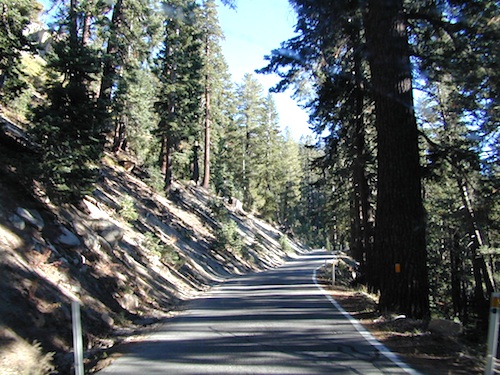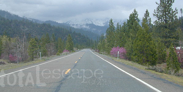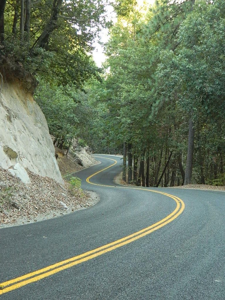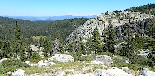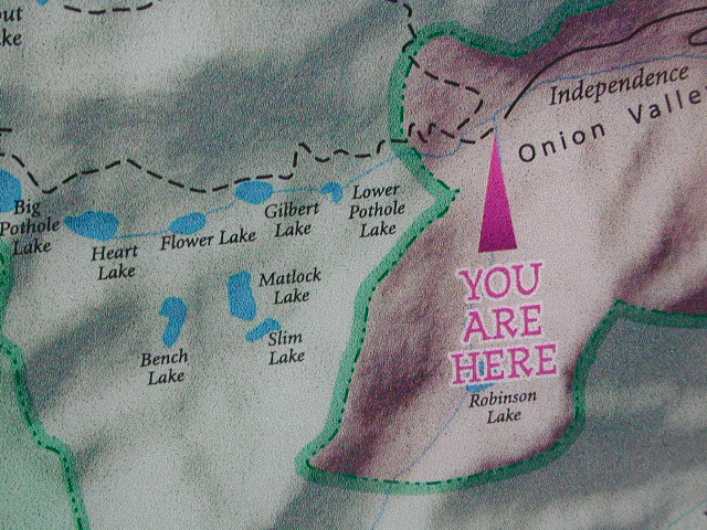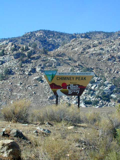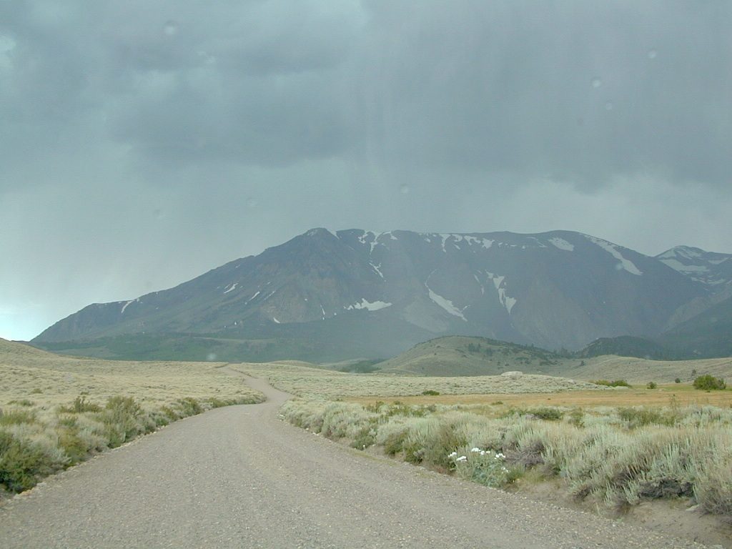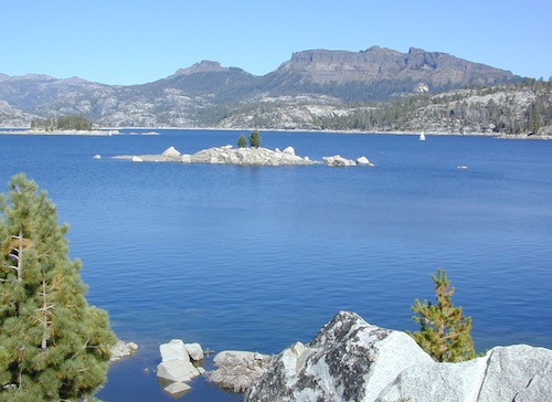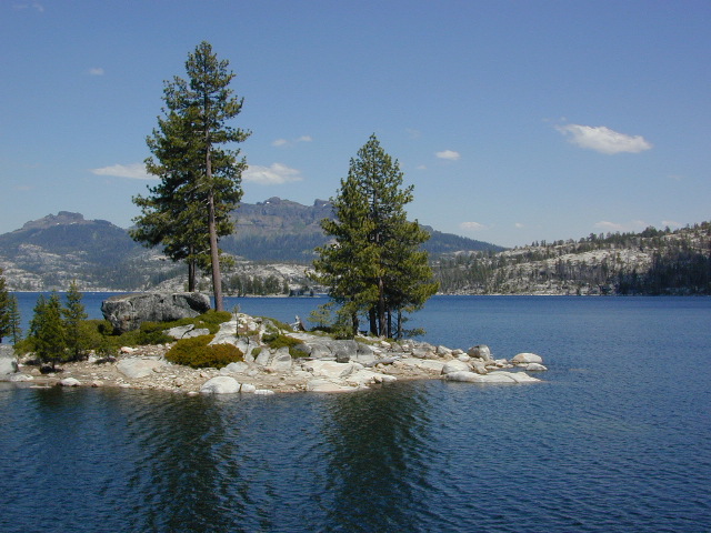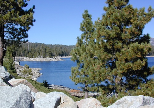
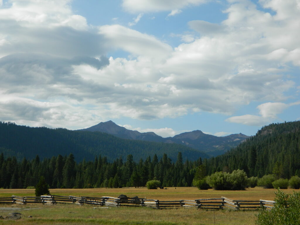
These are the roads that drivers love. More room to roam, more space, more pavement, more scenery to love and less people, less drivers and less distractions. California has endless roadways that wind through every part of the entire state. If you enjoy real driving in California, you like the curvy roads & scenery. Total Escape has dedicated numerous hours to the collection of back roads in California. Some paved, some not.
4000 RPMs or higher / Cerro Noroeste Road to Hwy 166
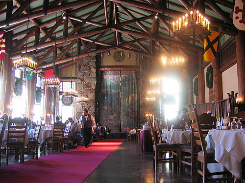
Celebrated annually since 1927, the Bracebridge Dinner transforms The Ahwahnee Dining Room into a Old English-era hall boasting Christmas cheer, beautiful music and a gourmet seven-course meal. The inspiration for this yuletide ceremony was Washington Irving’s Sketch Book that described Squire Bracebridge and English Christmas traditions of that period.
The Bracebridge Dinner is an elegant and artistic four-hour pageant of classic carols, Renaissance rituals and entertainment of the Middle Ages. More than 100 players create the roles of the Squire and his family, their servants, the Lord of Misrule, minstrels and other performers. The Ahwahnee Dining Room serves as the Great Hall and stage for the festivities and is decked with magnificent wreaths, an elaborate squire’s table, large banners and traditional Yuletide decorations.
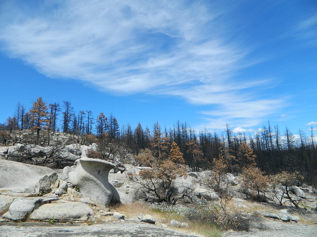
Decimated forest at Bald Rock: Trail Closed 2020-2021
Bald Rock, North Sierra Nevada Mountains
Big Bald Rock
elevation: 3350′
2021: CLOSED due to wildfire damage
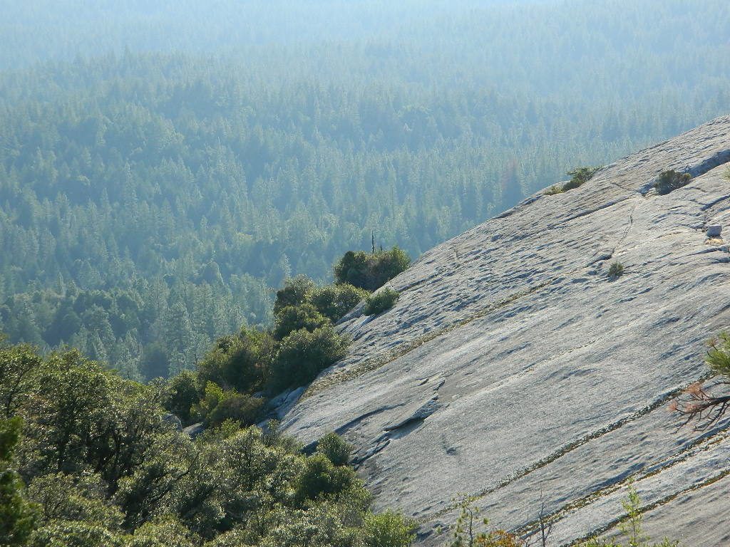
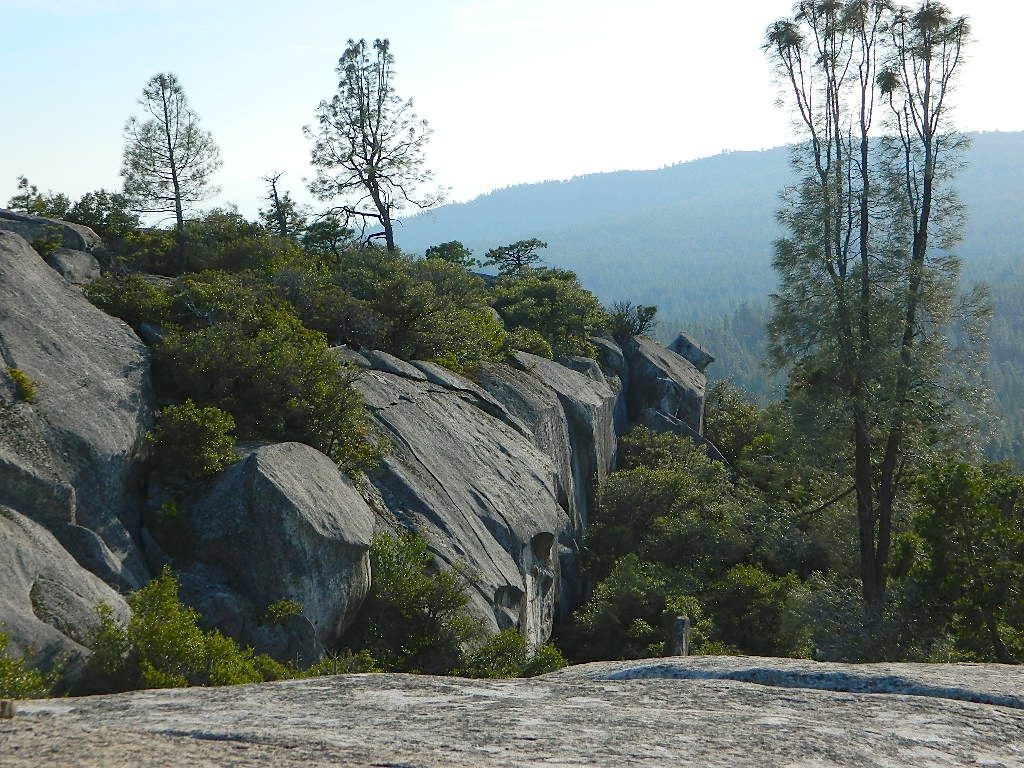
Bald Rock Trailhead, Berry Creek, CA Located above Lake Oroville and near the Middle Fork of the Feather River, this well known trailhead is a 1 mile (short, steep & sweet) climb on top of granite rocks – to a wonderful view over the North Sacramento Valley. Dirt parking lot w/ bathroom in a forested setting. Can get muddy during winter. Seasonal creek runs along first part of the hiking trail. Locals like to party here at night. Families hike during daylight and sunset hour. Trailhead sign is well marked on paved Bald Rock Road, about 6 miles from the Oro Quincy Highway.
The granite dome hike (above) is often confused with a neighboring trail to the south, called Bald Rock Dome, located at the granite gorge of the Middle Feather River. A much longer hike w/ a canyon view, switchbacks, and longer dirt road access…..
Another dome hike in the same area as above, but on the other side of the pavement; gravel parking lot, and trailhead via dirt road; a right turn off Bald Rock Road (when going north). Near the residential forest of Berry Creek, CA
The official map for Lake Oroville SRA has a granite dome marked as Little Bald Rock @ 3334′ elev. The USDA Plumas National Forest map has both a Little Bald Rock and a Bald Rock Dome (3509′) located on this side of Bald Rock Road.
As you can see listed below, giant granite domes or mountain peaks or river canyons often have the generic name of ‘bald rock’ There are also a heck of a lotta Bald Mountains inside the golden state.
also, in the vicinity –
Bald Rock Canyon is downstream from the big waterfall, Feather Falls, on the Middle Fork of the Feather River; This stretch of wilderness waterway is called Feather Falls Scenic Area which includes, Milsap Bar Campground; Maybe be accessible, by 4×4 and steep foot trail – from the opposite side of the river. Off Lumpkin Road, which is off Forbestown Road (@ 162 above Lake Oroville) 2021: CLOSED due to wildfire damage
Bald Rock Peak (elev 7166′) a mountain peak near Chilcoot Campground and Frenchman Lake, N of Hwy 70 in East Plumas National Forest
Bald Mountain (5780′) off the Skyway, next to Stirling City, CA
Fire Lookout CDF, weather cam & antenna site
On the north side of the lake is Grass Valley Bald Mountain (5906′ elev) in between Black Rock Creek and the northern shore.
The La Porte Bald Mountain Peak (5906′ elev) is located in dense forest, in Plumas National Forest; In between LGVR and the town ofLa Porte, CA 4959′
Area accessible via a long and curvy La Porte Road, which closes in winter on the north end (East Quincy). This Plumas County area is popular w/ snowmobiling due to the amount of snow they receive.
Bald Mountain Range, due north of Truckee and Stampede Reservoir. Near the CA / NV border. Babbitt Peak @ 8790′ is the tallest peak within this range. Historical Henness Pass Road passes through this area.
Bald Mountain Peak @ Sugarloaf Ridge State Park (2279′ elev) located in between Napa Valley and Sonoma Valley.
M22 Mendocino Forest, eastside Forest Route #M22 is on Valentine Ridge, east of South Yolla Bolly (elev 8092′) and near Bald Rock Mountain (7762′). Road M-22 is also known as Bald Rock Road. Mendocino National Forest – Two trailheads up this way are Ides Cove and Horsepacker. M22 wraps around south to Ball Rock @ 6663′ elevation, near Rocky Cabin Campground. Cold Springs Guard Station, Ball Mountain 6557′ and Whitlock Campground are on this route. Much this region has been burnt in recent wildfires of 2020 #ElkhornFire
Popular, local snow ski destination for “the southland”; south of Pasadena, near Rancho Cucamonga, in the San Gabriel Mountains.’
Bald Mountain Road, also known as Inyo Forest Road #01S05, near Indiana Summit and the Mono Craters. East of the Eastern Sierra & US 395; south of Mono Lake, California.
Bald Mountain Road, near Bummerville, California.
Gold Country Sierra Forests, East of Hwy 49 @ Jackson, CA
Bald Mountain Road, rural ranches & residential;
and Bald Mountain Nursery in Browns Valley, near Marysville, CA
Bald Hills Road, Redwoods NP
Bald Hills Road, Northern California
Well- traveled, graded dirt road connecting the Redwood National Park to the Klamath River @ Hwy 96. Primitive camping, but check on fire restrictions. Must have camp fire permit. Active logging roads on National Forest land, so weekdays could be busy: watch for equipment and big trucks.
Plumas Road #24N29, off Bucks Lake Road
East of Bucks Lake, California.
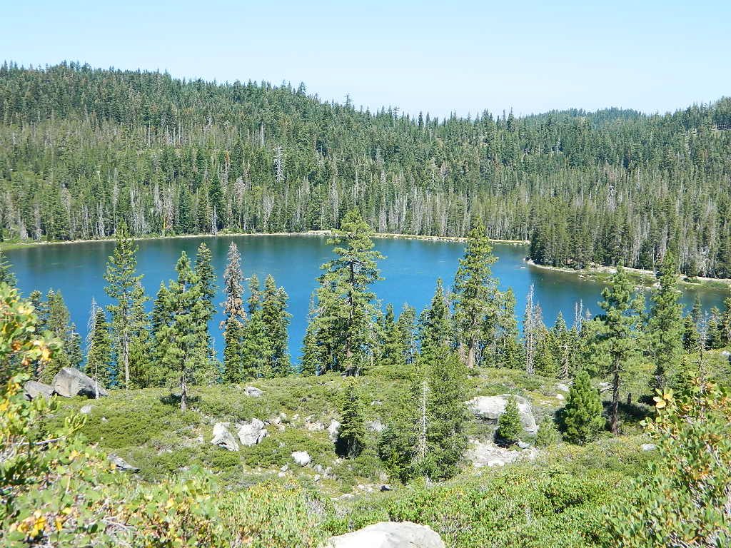
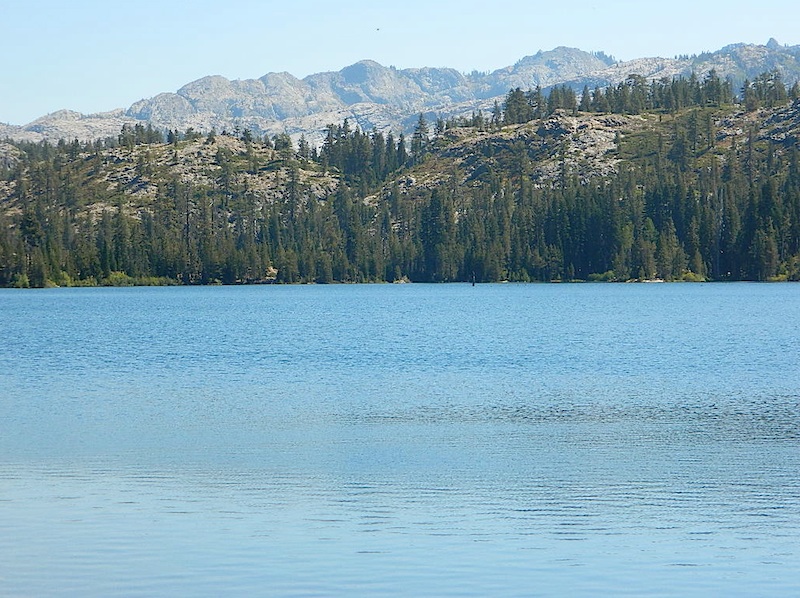
a six mile, one lane, dirt road is the only vehicle access into this high elevation, dammed reservoir, tucked back against the wilderness. Secluded lake campsites await, you’ll just need to get a little dusty first. The turn off, at a small brown sign reading “Silver Lake”, one which is very easy to miss – due to the amount of homes, cabins, fencing and driveways in the vicinity.
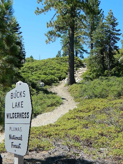
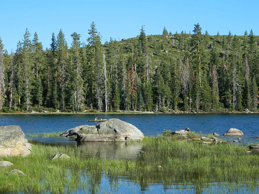
No swimming allowed at this Silver Lake, as it serves as a drinking water source for the neighborhoods below. Canoe & kayaking are allowed. Fishing is also popular at this location. Hiking trailheads at Silver Lake lead to the PCT (Pacific Crest Trail), Mount Pleasant, Spanish Peak and a small gem of a swimming hole, we call mini Gold Lake.
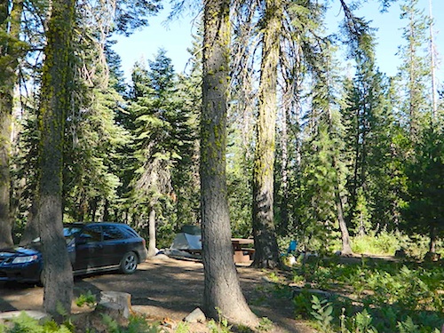
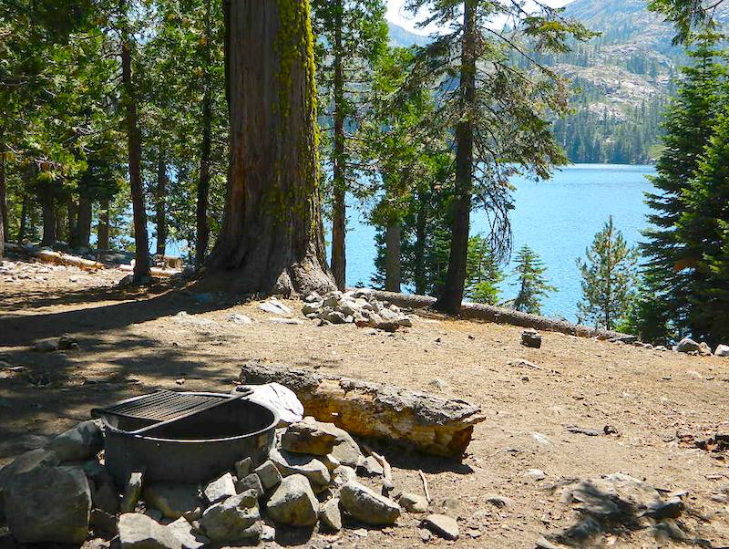
This small campground is actually set downhill from the rock earthen dam, which is something to ponder before/during a big earthquake. With sites 1-5 in a shady forest area and the others a bit closer to the lake, no campsite is too close to another. These are all well-spaced-out sites, providing decent privacy and minimal noise from neighboring campers. No campsites are located at the lake edge, as the rocky dam is a long structure and quite complex with water control measures.
All the campsites have new bear boxes for food storage, cuz ‘wilderness’ usually means black bears are roaming about. Deer tend to frequent campsites 1 & 2.
2020 update: overnight camping fees now charged at this campground
Silver Lake Campground NFS
• Elevation: 5800′
• Number of Sites: 9
• Vehicle Accessibility: RV 22′
• Campsite Reservations: No
• Camp Fee: Yes
• Toilet: Vault
• Water: No piped/potable
• Length of Stay: 14 Days
• Season: May – October
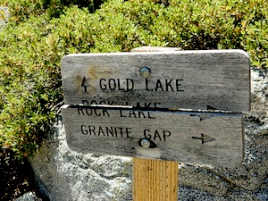
• Trailheads: PCT, Gold Lake, Rock Lake, Granite Gap, Bucks Lake Wilderness
As with most of the high elevation lakes in California, winter months can mean deep snow and dirt road closures. This campground is usually open through the end of October, but call head to the local rangers if in doubt.
Plumas National Forest
Mt. Hough Ranger District
39696 State Highway 70
Quincy, CA 95971
530-283-0555
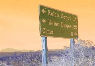
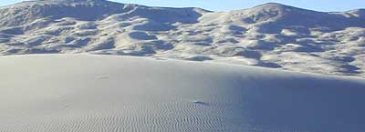
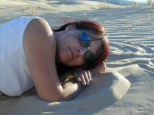
Kelso Sand Dunes are a unique geological feature in the middle of the Mojave desert; Located in triangle of high desert in between Barstow, the Interstate 40 and the Interstate 15.
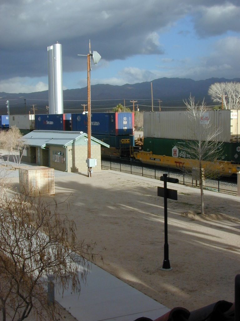
The (long) main (dirt) road (bumpy) access to these sands dunes – is located off of paved Kelbaker Road, which is just south of the train depot at Kelso, CA
Kelbaker Road is located right off Interstate 40, at the eastern edge of Mojave National Preserve. From Barstow California take Interstate 40 eastbound to Kelbaker Road exit, turn north & follow the signs 20+ miles to the Kelso Dunes. The dirt road that accesses the sand dunes is a coupla miles of washboard & low rider passenger cars should use caution.
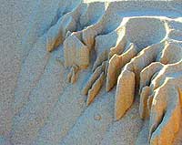
There is no off road OHV access on these dunes – as this vast desert area of flowing & blowing sand is part of the protected Mojave NP. Nearby, the historic Mojave Road is a dirt 4×4 trailthat cuts straight thru the desert 138 rough miles, from the Colorado River to Afton Canyon near Barstow, CA
Granite Mountains has secret boulder coves and primitive camp sites. Mountain biking, stargazing and bouldering (rock climbing) are abundant this region. Open camping on nearly any dirt road is an option, but pay attention yo signs as there are a few private ranches in these parts. Free camp spots serve as an excellent overnight stop for those traveling to and from the east — Vegas, NV, Grand Canyon, AZ or Utah.
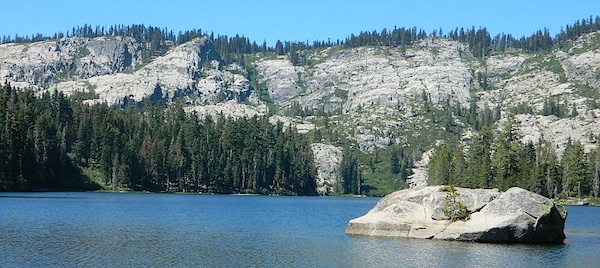
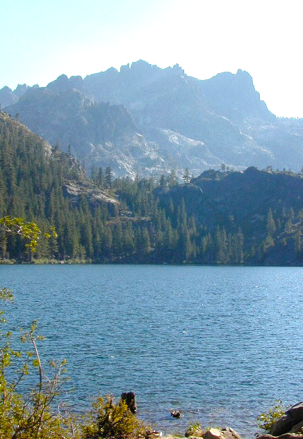
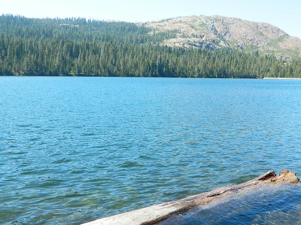
The biggest Gold Lake, California is the well-known one, along the Gold Lake Highway in the Lakes Basin Recreation Area. Plumas meets Tahoe National Forest. North of Gold Country Hwy 49, Downieville & the Yuba River. Right where the Sierra Nevada granite meets the volcanic lava rock of NorCal.
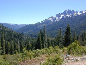
Impressive jagged spires known as The Sierra Buttes (8591′) tower above the stunning lake scenery. This big Gold Lake is surrounded by a dozen smaller alpine lakes which make up the popular region called Lakes Basin. Easy access paved highway, which closes in winter for deep snow and winter recreation. The Gold Lake Highway is also referred to as Plumas County Road #S620
the sierra buttes
Sardine Peak Fire Lookout NFS fire tower – no more overnight rentals! overlooking the Sierra Buttes and the serene Lakes Basin, Yuba River, Northern Gold Country California
LAKES BASIN RECREATION AREA Cabins, camping, lake fishing, backpacking, hiking, horseback riding, mountain biking, off-roading, snow-mobiling.
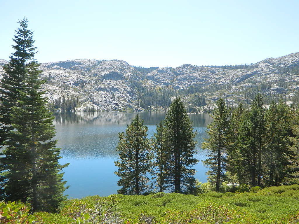
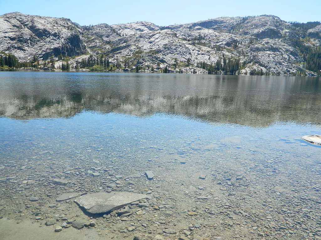
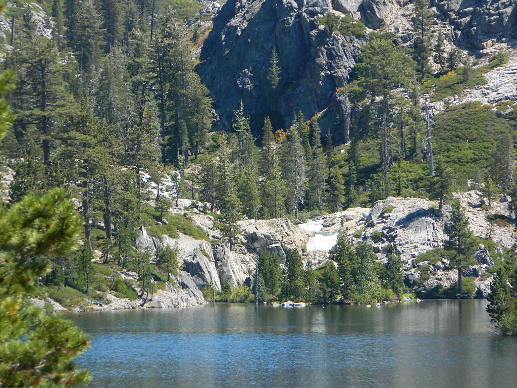
Mini Gold Lake
(Plumas Co)
6000′ elev.
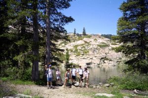
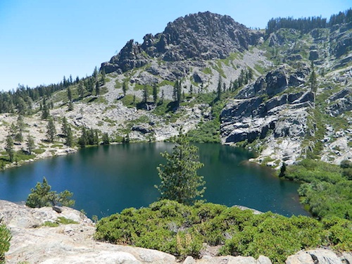
Another smaller Gold Lake exist on the granite slopes in Bucks Lake Wilderness – E of Oroville & W of Quincy, CA.
This hidden gem is a hike-in only lake – and well worth the effort. A somewhat short hike, great ridge line views to the east, although the last half mile of this route is a doozie (moderately strenuous).
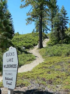
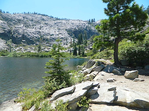
The main trailhead departs from Silver Lake and climbs a ridge line that heads over to the PCT (Pacific Crest Trail). An off-shoot trail goes another mile to the miniature Gold Lake, a granite bowl of sheer beauty. A great day hike for those wishing to see the backcountry. Pack your picnic lunch, camera, and make a whole darn day of it!
Swimming & skinning dipping seem quite natural at this alpine lake, since it is a pretty remote location (without a lot of visitors) and there is absolutely no swimming allowed at neighboring Silver Lake.
The steep, overgrown, rocky shoreline leads one to bush whack through old trails, only to be met by a rock slide. Many dead ends and obstacles to climb around, or over. Some way… maybe, or maybe not!
Boulder and rock scrambling is the key phrase to remember, once you reach this lake. Knees may be sore from climbing, up and over the boulder ledge surrounding the lake bowl.
A few primitive camp sites are scattered about on the edge of the lake for those backpacking in, but be warned – they can be very difficult to reach. Much more suitable campsites can be found scattered throughout the area.
Warning: there are no flat, lush meadows to lounge in up at the lake, so pick yourself a side route (on the walk in) to find real seclusion and privacy.
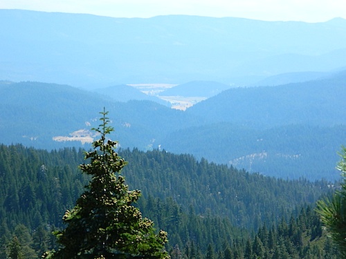
This mile-long-ridge hiking trail to mini Gold Lake has some amazing views down to the east side – Jacks Meadow right below; then Meadow Valley & Quincy off in the distant hills. RURAL CALIFORNIA – Plumas County from above.
jacks meadow, way below
High Sierra Gold Lakes in California
hike-in only lakes
Golden Bear Lake
(Tulare Co)
12,000′ elev
High Sierra – Kings Canyon National Park
Center Basin / Center Peak 12,760′
PCT – Pacific Crest Trail
North of Mount Whitney
Eastern Sierra, Independence, CA
East of Lake Isabella and west of Walker Pass, there is a small community called Canebrake along Highway 178 Canebrake Road, a graded dirt road climbs up into pinyon pine forests. Lamont Peak (aka Lamont Pinnacles) is a decent hike & rock climbers dig it too.
Chimney Creek Campground is along the main road and has RV access (28′ max), for the motorhomes who do not mind a little dirt road driving. Easy trail access to numerous area hikes. The PCT is routed close by.
Long Valley Campground is tucked way back in the boonies with trailhead leading into the granite Dome Lands; Fishing and river access to the South Fork of the Kern.
Long Valley Loop Road (2001)
Long Valley Loop Road circles the Chimney Peak Wilderness, which skirts the Domeland Wilderness. THE LOOP is washed out and ROAD is NOW CLOSED in one portion. See BLM web site for up to date info.
Forest Road 1N17 is a major graded dirt road that connects June Lake Loop to the Lee Vining junction, the back way. West side of US 395; south of Hwy 120.
At north end of Grant Lake, slow down and look for the signed intersection. Sage brush hills and big drainage, with towering granite peaks above.
This well-traveled, wide dirt road leads along the base of the mountain range on BLM land, skirting the National Forest. Several side routes head up into numerous canyons, which are part of Inyo NF. Suitable for SUV, passenger cars, camper van and small RVs. Easy access off US Highway 395 and June Lake Loop #1S63
Several hike-in only lakes, creek camping, some seclusion. Great picnic areas, trail head access, short or long hikes. National Forest lands. Backpacking, day hiking and primitive camps, some deep in the aspens. Autumn here can be gorgeous, and these are all prime summer time camp sites, for free. Make sure to get your campfire permit ahead of time, at ranger station in Mammoth. Wilderness permits may also be required for overnight camping in this canyon, so check with the NFS rangers on that issue.
Certain areas back here can be muddy in springtime, other major routes can even be over whelmed with water when creeks swell. Summer thunderstorms are common. One lane bridges should always be driven with caution, especially on dirt roads. Always be extra slow when driving thru water at creek crossings.
Ancient volcanic peaks mix with Sierra Nevada granite rock, pine forests and fresh, clear, clean mountain water! California, of course.
Stanislaus Forest Road #7N01 leads down from Highway 4 to this popular series of alpine lakes and reservoirs. Camping, fishing, hiking and mountain biking. Sailing, canoeing, kayaking, swimming, floating and fishing are also popular water activities.
Rules of the Reservoir:
10 mph speed limit on Western Arm.
No motorized boating in Eastern Arm.
Camp only in developed Campgrounds.
2 NFS Campgrounds at west end of lake:
Spicer Campground (60 sites)
Spicer Group Camp (75 people max)
Campgrounds only open June-September. Some campsites at the campground are wheelchair accessible.
Additionally, Stanislaus River Campground w/ only 8 sites, is located just off the main access road #7N01, right near the river.
Numerous smaller lakes in the region make this a hot spot for summer vacations. Union and Utica Reservoirs (both with dirt road access) are good for kayaking and canoes, while power or sail boats prefer the larger Spicer Lake. Summit Lake and Elephant Rock Lake are perfect for quite picnics and day hikes. Trails (many unmarked) connect the lakes to each other. Area gets buried with snow in winter, so these roads are generally only open half the year.
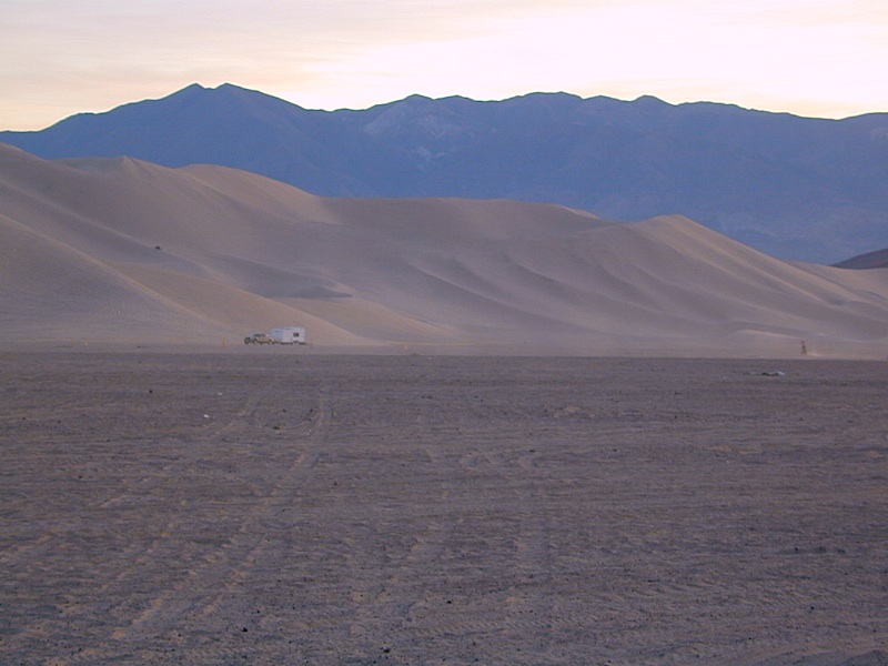
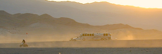
Fortunately, those places do not allow driving on the dunes, which is exactly what the off-road boys want to do. Sand flying, motors screaming, music blasting, bon fires blazing and no silence found until the wee hours of early morning.
Autumn, Winter & Spring are the busy months for ‘froaders in the deserts, since summer temps can soar into triple digits heat daily.
Camping out near “the dunes” is usually a big, freaking, free-for-all, outdoors with the latest in motorized toys. Recreation Vehicles encircling bonfires (camp formation for a large group), toy box haulers, trailers, families, and maybe a massive BBQ setup.
OHV (off highway vehicle) Vehicular Recreation Area
California BLM Desert Sand Dunes
Below is a list of California Sand Dunes overseen by the Bureau of Land Management.
Arroyo Salado / Ocotillo Wells
Motorcycle, 4WD, ATV, Dune Buggy / Sand Rail
Located 10 mi. west of Highway 86 on Highway 78. Rolling hills and sand washes. Designated “Open Area” consisting of 4,800 acres. Adjacent to Ocotillo Wells Vehicular Recreation Area. Near Split Mountain, Anza Borrego Desert
Dumont Dunes Mojave
Motorcycle, 4WD, ATV, Dune Buggy / Sand Rail
Located 30 mi. north of Baker on Hwy 127, off Dumont Dunes Rd. Steep and tall sand dunes. Designated “Open Area” of 8,150 acres. South of Death Valley National Park.
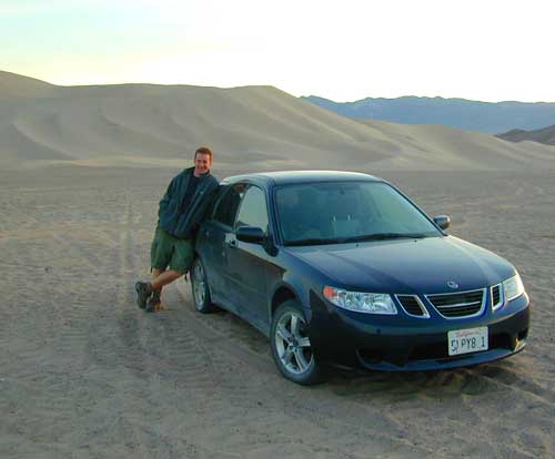
Dumont w/ the Saabaru AWD
Glamis / Gecko Road
Motorcycle, 4WD, ATV, Dune Buggy / Sand Rail
Holiday weekends = NUTS!! Approximately 22,000 acres. Located 25 mi. east of Brawley on HIGHWAY 78. Sand Dunes. Designated “Open Area” Danger: Adjacent to military bombing range. Contact the El Centro BLM
Imperial Sand Dunes / Buttercup Valley
Motorcycle, 4WD, ATV, Dune Buggy / Sand Rail
Approximately 11,000 acres. Located 10 mi. southeast of Niland on the Niland Glamis Rd. Sand Dunes are designated “Open Area”. Watch for closed area boundary at south end of area. CA Highway 78 near Brawley. Contact the El Centro BLM
Mojave El Mirage / Shadow Mountains
Motorcycle, 4WD, ATV, Dune Buggy / Sand Rail
Located 10 mi. west of Adelanto on Crippen/El Mirage Road. Dry lake Bed. Heavy use area. many non-motorized and motorized recreation – including aircrafts. Area consists of 24,000 acres.
Plaster City / Yuha Basin
Motorcycle, 4WD, ATV, Dune Buggy / Sand Rail
South side of Anza Borrego Desert State Park. 15 mi. west of El Centro. Located on county Highway S-80. Consists of 41,000 acres of rolling hills and desert flats. Military bombing range north of area is closed to entry. Contact the El Centro BLM
Superstition Mountain
Motorcycle, 4WD, ATV, Dune Buggy / Sand Rail
Located 15 mi. NW of El Centro via Highway S-8, Huff, and Wheeler Roads. Varied terrain consisting of 13,000 acres; dry lakes, badlands, rocky mountains, and sand dunes. Military bombing range north and south of area is closed to entry. Contact the El Centro BLM
Rasor OHV Recreation Area
Motorcycle, 4WD, ATV, Dune Buggy / Sand Rail
Located 45 mi. northwest of Barstow, CA on Rasor Road. Sand washes and dunes, mesquite thickets. Designated “Open Area” consisting of 22,500 acres. Contact theBarstow BLM
Rice Valley Dunes
Motorcycle, 4WD, ATV, Dune Buggy / Sand Rail
Located 5 mi. south of Rice Valley off of Highway 62. Access is Santa Fe Road. Sand dunes. Designated “Open Area” consisting of 3,770 acres. Area of little use. Danger: Contaminated with unexploded ordinance.
elevation 5800′ – Canyon Creek connects Lake Faucherie, Sawmill Lake and Bowman Reservoir in the Sierra, Tahoe National Forest. 20+ miles of backroad travel, off I-80.
While many consider Faucherie to be the most beautiful scenic lake, Sawmill Lake just downstream a couple of miles is still quite attractive – with dense forests and a granite mountain backdrop. Sawmill is especially nice for those who like to primitive camp, ouside of developed campgrounds. Way off the interstate @ Hwy 20, tucked in way back behind Bowman Lake a few miles, you can find Sawmill Lake.
Fishing and camping, kayaking and canoeing are all popular recreation around this lake. A trailhead on the northend of the lake leads out to even more alpine lakes (a day hike “lake loop” or backpacking option). The Pacific Crest Trail is also routed nearby.
No motorized boats or watercraft allowed. No boat ramps, no pavement, no picnic tables, no bathrooms, no fees.
4×4 Lake
Fishing Lake
Free Camping Lake
The north shoreline is abundant with dispersed campsites: metal fire rings and a clearing only; no picnic tables, no toilets. Self sufficient campers only. Campfire permits, a water bucket and a shovel are required. During extreme fire restrictions campfires may not be allowed. Check with local rangers for up to date info.
Most campsites are drive up and park, while others closer to the shoreline have only walk-in access. Hauling your gear down hill won’t seem unthinkable once you’ve seen the lakeside views. There is even a camp below the dam, next to the waterfall.
The main access Road #843-037 is very rocky and 4x4s love to frequent the area. The backroads here are best suite for truck travel, high clearance vehicles, off-roaders and SUVs. No small RVs or trailers. Passenger cars are not recommended. The access roads around the lake and up to the lake are dusty and rugged. The road below the dam is quite rough w/ rocks.
The water at Sawmill Lake is crystal clear snowmelt. The lakes around here are managed by Nevada Irrigation District, so this is why there are no engines allowed on the lake. This canyon area closes to public entry during winter months (NOV-APRIL), due to deep snow.
Lake Faucherie is set in spectacular scenery of granite mountains, with peaks and waterfalls all around. Many believe that you could only reach this kinda high elevation beauty by foot, with a backpack, but here it is – accessible by a very long, rough & rocky backroad.
No motorhomes, no camper trailers, no motorboats, no engine noises on the lake, no big families. Just well-deserved solitude, finally. Peace and quiet!
Perfect alpine lake for car-top boaters – those who carry their boats on top of a vehicle. But be warned very few ‘passenger cars’ make it back this far, due to the challenging roads.
No motorized boats or watercraft allowed. One public boat ramp; gravel parking area, vault toilets, gated entry for group campground. No more driving across dam (it is now gated).
Faucherie Lake Road – a spur road, off of the ‘843 Road’ leads up to both Sawmill & Faucherie Lakes, as well as the Canyon Creek Campground.
This primitive road forks off at Jackson Creek Campground, Tahoe NF, way, way back behind Bowman Lake. The rugged route is also known as Nevada County Rd #843-037. Conflicting numbers appear on USDA web site for this route, so don’t get confused.
The brown Forest Service signage is decent at Jackson Creek Campground – so if you get that far, you’re almost there. Sorta. Did I mention how crazy the road is? Any wet weather or snow will make this route “4×4 required”. This place is closed off about half the year, due to deep snow (NOV-MAY). Although on summer weekends, this area is busy for a remote high Sierra lakes region.
To reach this rugged Canyon Creek takes hours of driving with a good backcountry map and a reliable, high clearance rig. AWD Subies and mini SUVs beware, you’ll need a spotter on the bad sections of this road (or risk serious oil pan damage). Or perhaps maybe, we “shouldn’t be back on these kinda roads in that ‘lil sportwagon’ missy.”
Faucherie Lake Group Campground
(25 people maximum per site)
• Elevation: 6135′
• Number of Sites: 2
• Vehicle Access: High Clearance Vehicle, no trailers
• Campsites Reservation: Yes
• Camp Fee: Yes
• Season: June – October
• Trailheads: Faucherie Lake Falls, Five Lakes Basin, French Lake, Haystack Mountain
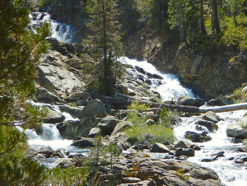
Faucherie Falls – Six waterfalls above lake:
Upper Faucherie Lake Falls #1: 39.4257 N, 120.5616 W
Upper Faucherie Lake Falls #2: 39.4257 N, 120.5606 W
Upper Faucherie Lake Falls #3: 39.4262 N, 120.5568 W
Upper Faucherie Lake Falls #4: 39.4268 N, 120.5550 W
Upper Faucherie Lake Falls #5: 39.4270 N, 120.5544 W
Upper Faucherie Lake Falls #6: 39.4272 N, 120.5538 W USGS Topo: English Mountain
These foothill regions below are the rivers & mountains of the infamous California Gold Rush of the mid-1800’s. Many mountain dirt roads will lead to your secluded, private camp site, near a creek or river. Or plan on camping in a developed Campground near a recreation lake lined with amenities, pine trees & oaks. River rafting & kayaking can be found throughout this area, as well as backpacking, mountain biking and hiking trails. Fishing is very popular as well.
Waterfalls, back roads, granite features, historic mining camps, big fishing rivers all abound. Wilderness backpacking in the High Sierra can be accessed by Hwy 108 (Sonora Pass) Hwy 4 (Ebbetts Pass) Hwy 88 (Carson Pass), Sierra US Route Hwy 50 & Interstate 80. Numerous small towns populate Historic Highway 49 for every tourists need – meals, laundry, grocery, coffee, lodging & shopping.
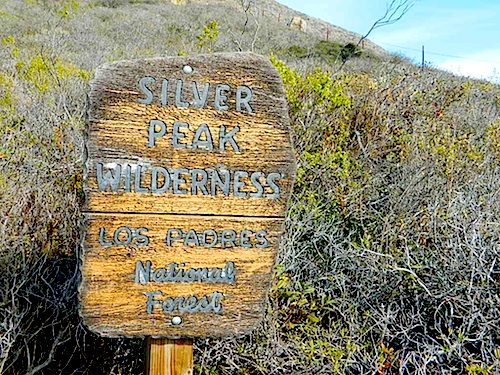
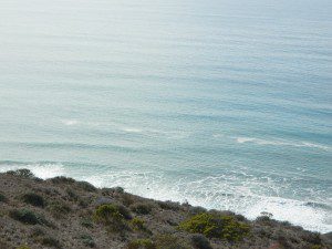
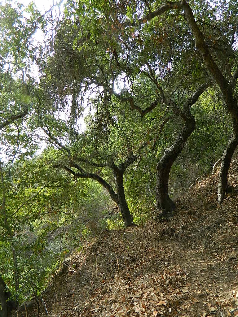
Backpacking and hiking trails on the Pacific Coast, steep terrain next to ocean. Coastal redwood canyons, oaks hills, great views. The neighboring Ventana Wilderness is located just north of Silver Peak hiking trails.
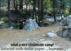
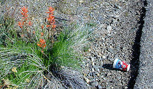
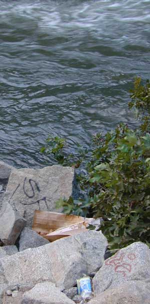
Litter seems to be nearly everywhere. Although there are trash cans at most campgrounds & developed picnic areas, some lazy folks still seems oblivious to the fact that their ignorance is causing an eye sore for the rest of us. Does that bunny rabbit really need to look at your abandon water bottle in the bushes, for the next 7 years?
Remove Trash while Camping & Picnicking
Pack it In; Pack it Out, means if you bring it out there, please take it back home (or to a proper garbage disposal site).
Bring work gloves when camping; do messy job faster and have clean hands
Bring trash bags or cardboard boxes for storing trash for transport
Take out some litter; Leave the camp or picnic site cleaner than you found it
Use existing campsites & fire rings to prevent impacting new areas
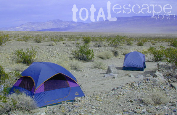
Pitch tents in cleared camp spots only (when primitive camping)
Do not set a tent up in a meadow. It’s a fragile environment
tread lighty
leave no trace
and always leave the site nicer than you found it
Quatal Cyn: Forest Road #9N09 – Los Padres National Forest
Toad Spring Campground is located at high elevations (5700′) of Quatal Canyon, on a dirt road, half mile off the pavement of Cerro Noroeste Rd. The Chumash Wilderness, the Cuyama River Valley, Apache Saddle, Mount Abel plus the Bittercreek National Wildlife Refuge all surround this region. Los Padres National Forest meets the vineyards, orchards & farmlands, near Ventucopa. This is the badlands – 18 mile scenic dirt road, well signed at Hwy 33 & mostly graded. Quatal Cyn connects Ojai’s Highway 33 to the pinyon pine forest above near Pine Mountain Club (@ nearly a straight line?) Motorcycle dirt bikes & off-roaders dig this place. Street bikes will prefer paved Cerro Noroeste which runs the rim above to the north.
This major dirt road is not gated at either end, but winter sometimes closes the route due to snow depth. It never stays closed very long, as some beefy 4×4 will break thru the snow berm soon enough. Top elevation @ Cerro Noreste is approximately 5500′.
Quatal Canyon (possible Chumash word for Snake) is a giant high desert wash, ripping down from Cerro Noroeste (aka Mt Abel). Serious erosion w/ San Andreas fault lines – make it a very interesting canyon to explore on foot, horseback, motorbike, or mountain bike. The lupine & wildflowers here are incredible in late Spring in this red dirt canyon. Both nearby mountain peaks of Mount Abel & Mount Pinos are the tallest in Kern County.
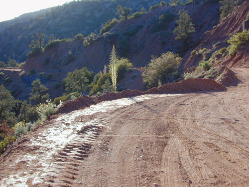
This rugged primitive canyon gets torn up during a good storm in late summer or a big winter storm. Red dirt gets very slippery – especially on the edges of a cliff. Boulders in the road, flash floods – or no road, river of mud! 2WD passenger cars can take this route in dry months, but high clearance is usually preferred. 4×4 is needed during heavy rain or snow – which could be half the year (Nov-April). Flash flooding is possible all over Los Padres NF, so know the weather forecast in advance.
Seen small RVs, trucks pulling trailers & even a U-haul moving truck down this way. MapQuest always amazes me where they route you. This is a graded dirt road, some of the time. MapQuest should post a ‘see Total Escape for this route’. Come on folks, if you’re traveling cross-country, while moving your residence, buy a real map to explore the National Forests of California. You may end up sleeping way out here – broken down in the moving van, in the boonies & no cell coverage, cuz you had a one page, wrinkled map in faded ink, wet & smeared. And MapQuest told you it was paved. It’s not paved 90% of the way.
Primitive camping is also allowed in the canyon wash or on the side routes, in certain seasons. Use an existing camp site when possible. Clean out the rock fire ring of litter & bottles, pull back all dry brush at camps & leave these places better than you found ’em. There are hundreds of dispersed campsites out here. The open wash is especially nice on a full moon hike, just bring friends – cuz it is considered “big cat country”. Camp fire restrictions are in tight control on this SoCal region. You will need a camp fire permit, a big shovel & lotsa water. Check with the Los Padres rangers to make sure. Recently Zaca Fire (2007) & the month long Day Fire (2006) both came very close to this precious sanctuary.
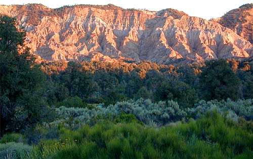
The high desert terrain is pinyon forest, with yucca & manzanita. The eroded cliffs of red rock, white & orange hues, glow best during the clearest sunsets. You will almost think your in Utah, until you get up on a ridge & see the smog in the Central Valley of California.
Mahu Tasen, a Native American camp and sweat lodge, has ceremonial grounds in a canyon off of Quatal. There is also a large rock quarry mining operation, as well as numerous wineries and ranches along this route. Several private residences too.
Ballinger Canyon OHV Park is close by, 5 miles N on Hwy 33
Carrizo Plain National Monument is also pretty close, N off Hwy 166