

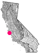
Green Creek California
Eastern Sierra
S of Bridgeport, CA
MONO – Road #142![]()
Toiyabe National Forest
Bridgeport Ranger District
If you are thinking about fishing or camping the Eastern Sierra, North of Bishop & you are not up for the crowds at Mammoth or June Lakes, then try the Bridgeport area, north on Hwy 395. Rural ranch lands along main road, Bodie ghost town turn off across the highway and Virginia Creek Settlement are also nearby
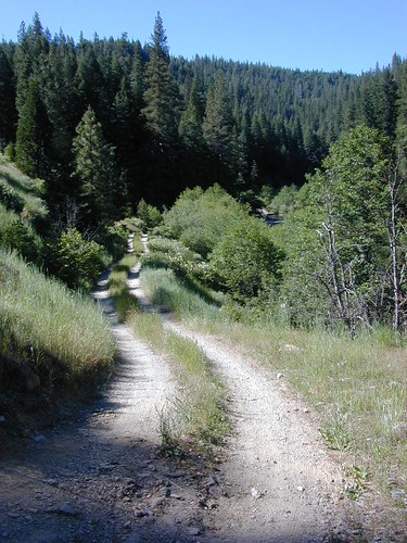
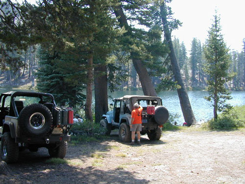
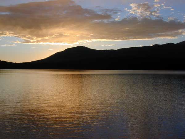
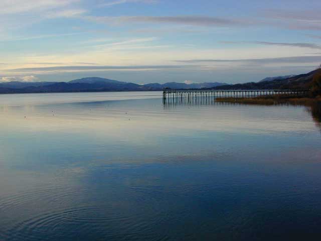
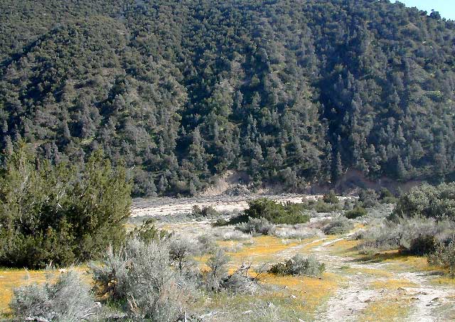
Green Creek is a 11 mile long dirt road in the lush Eastern Sierra the northern portion. The wide, graded dirt road is signed and dead ends at a Toiyabe National Forest campground called Green Creek Campground. The drive up can be washboard bumpy in some parts, but that doesn’t stop the hundreds of adventurous motorhomes that make this trek annually. This place features some of the best prime Sierra back roads camping options for RVs.
Another dirt route, Dunderberg Meadow Road peels off to the left. Dunderberg departs off Green Creek a couple of miles from the highway and well maintained. This route leads to meadows, aspens, picture perfect scenery and much more seclusion. Passenger car accessible, wide graded dirt roads to wilderness edges. Two-track one lane trails lead to meadow edges and more creeks. Very impressive views of the Sierra peaks over here on this side. Meadows are sensitive areas, wonderful for picnics and you should always minimize impact.
![]()
Green Creek Wildlife Area
Mono County, California

- alpine lakes
- backpacking
- bird watching
- camping
- creeks
- day hikes
- fishing
- hiking
- horseback
- hunting
- mountain biking
- wildlife
- wilderness
Plain old passenger cars can easily make this route deep into the Eastern Sierra aspen canyon. Graded dirt and4x4 could be needed winter months. Backpackers can enjoy easy access to the Hoover Wilderness trailheads. There is plenty semi-primitive camping spots along the way, right on the creek, for free…. so no need to sleep in your vehicle upon arrival.
Autumn Aspen Groves: fall colors peak in October, which is usually when the first snows for the winter season start. November – usually the freeze gets them and lifeless brown leaves dangle, until the Sierra Nevada wind gust blow real good.
![]()
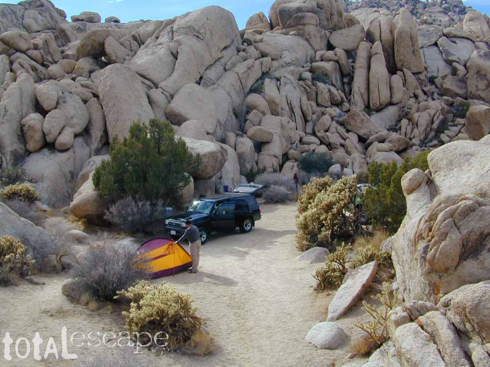
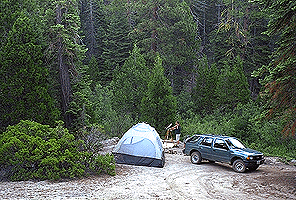
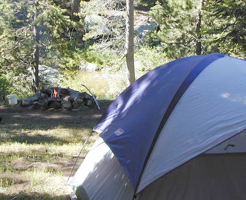
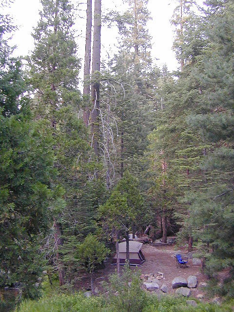
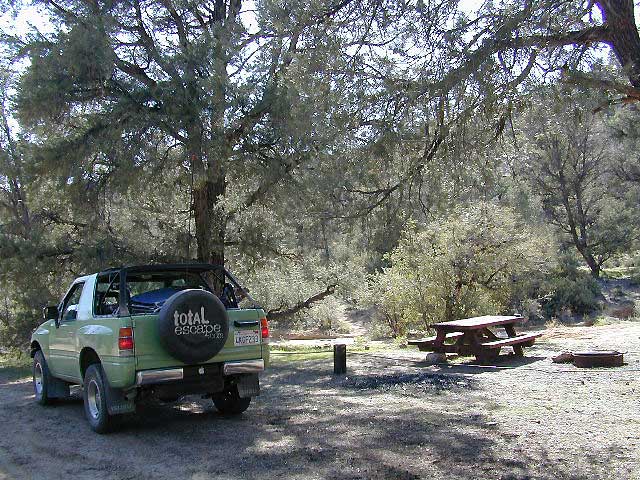
Green Creek Camping
DIRT ROAD CAMPING
- alpine lakes
- backpacking
- car camping
- day hikes
- fishing camping
- meadows
- RV camping
- tent camping

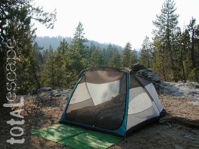
Dispersed, primitive camp spots along this main dirt road are on a first come basis. You’ll need a fire permit. Many flat camps are set along the creek in aspen groves, some pines, others have cubby hole privacy. Large granite valley, big creek, bird, scenery and nature everywhere. Some folks spend weeks camping out here in the warm weather months. Fishing is a big attraction.
Old Cabin in autumn leaves, up near the top of the dirt road deep in the aspen groves![]()
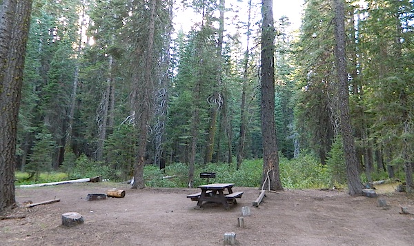
Green Creek Campground USFS
7500 elevation
11 camp sites
fee, open May – October
trailhead parking nearby
hiking trails lead to
![]()
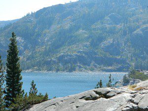
- Hoover Wilderness
- East Lake
- Green Lake
- Hoover Lakes
- West Lake
- Virginia Pass
- Yosemite National Park
TOPOGRAPHIC MAPS:
- Bodie Hills Map
- Hoover Trail Topo Map
- USDA Hoover Wilderness
- USDA Toiyabe NF Map
- Sierra Overview Map

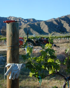 North of Ojai,
 Lakes, rivers, creeks, waterfalls, waterfowl, fishing and fresh water are all plentiful in the Klamath region. Mount Shasta and the Klamath mountain range make up a portion of the Cascade range, that continue north to the Pacific Northwest.


 If you are the “I don’t care where I sleep kinda guy, as long as I can do/see this many things” all crammed into a 3-day holiday weekend, then you best do your research ahead of time. Get a good map, measure the mileage, plan picnic stops and sightseeing. Plan to set camp in a central location close to the main highway to call home-base, so you can be off exploring as much as possible.


 Lake Mohave Ranger Stations


