Tag Archives: Sierra Nevada

Gold Country California

Gold Country Sierra Nevada

historic murphys hotel

1849:
California Gold Rush began

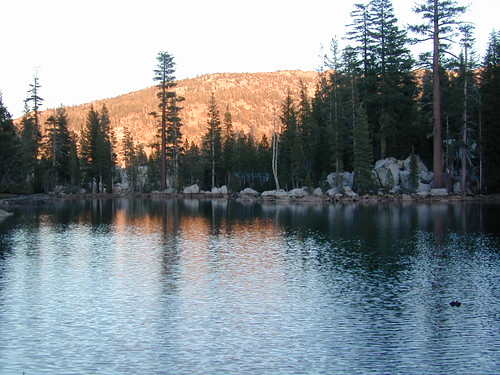
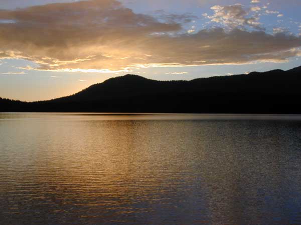
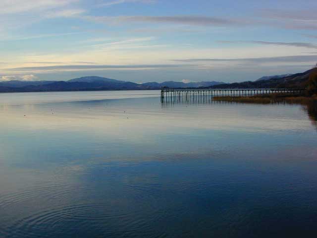
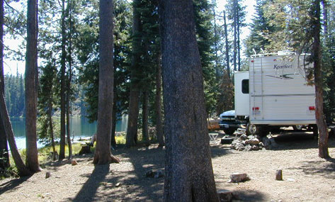
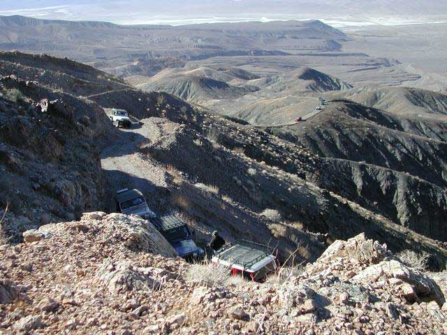
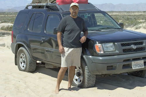
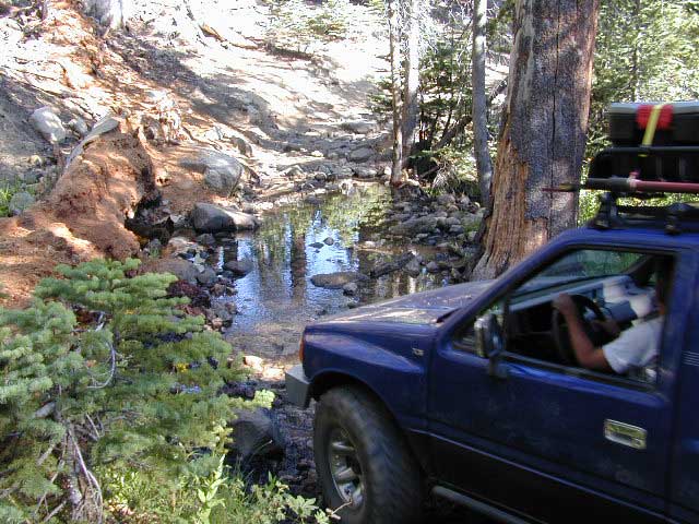
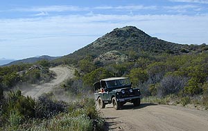
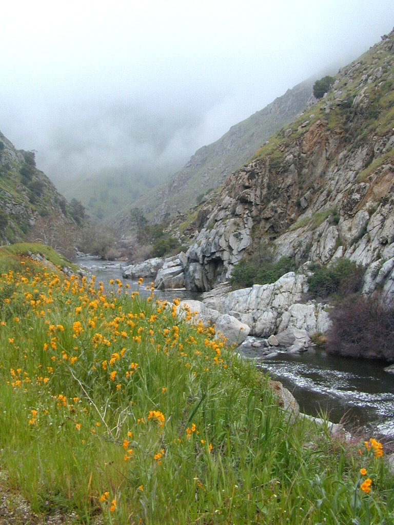
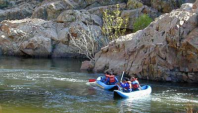
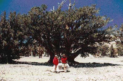
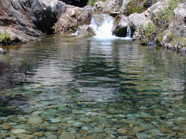
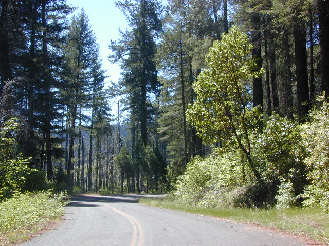
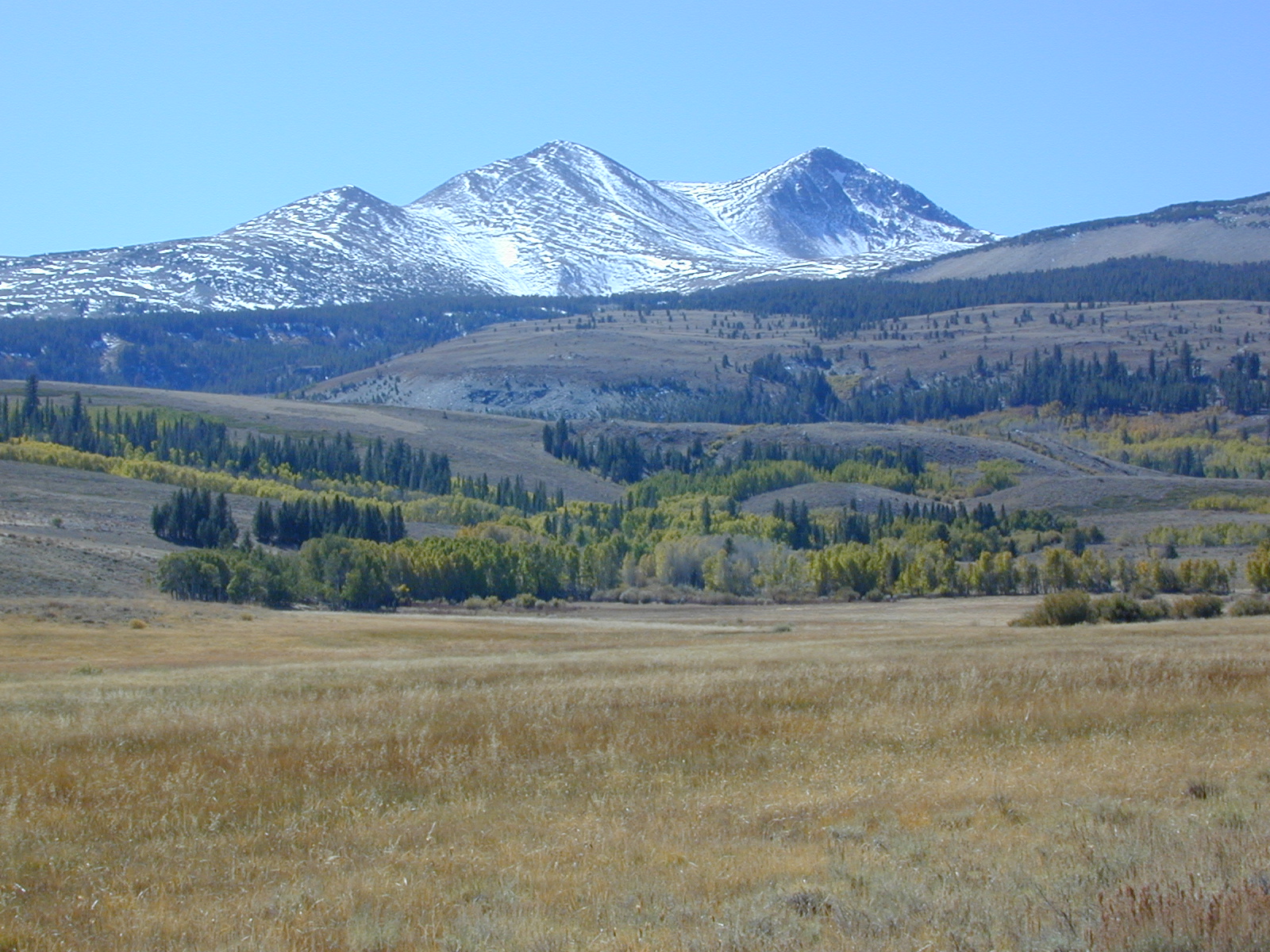
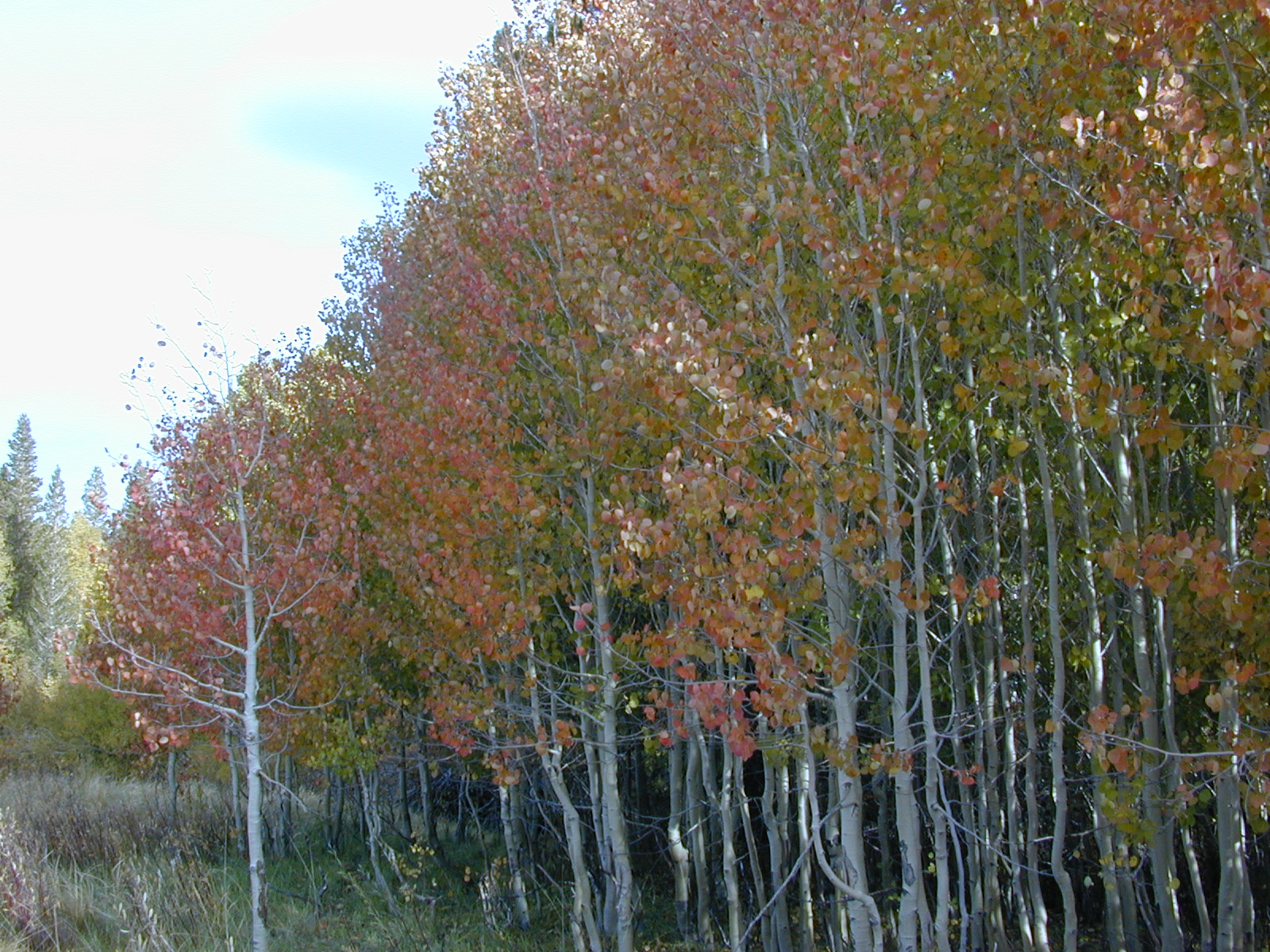
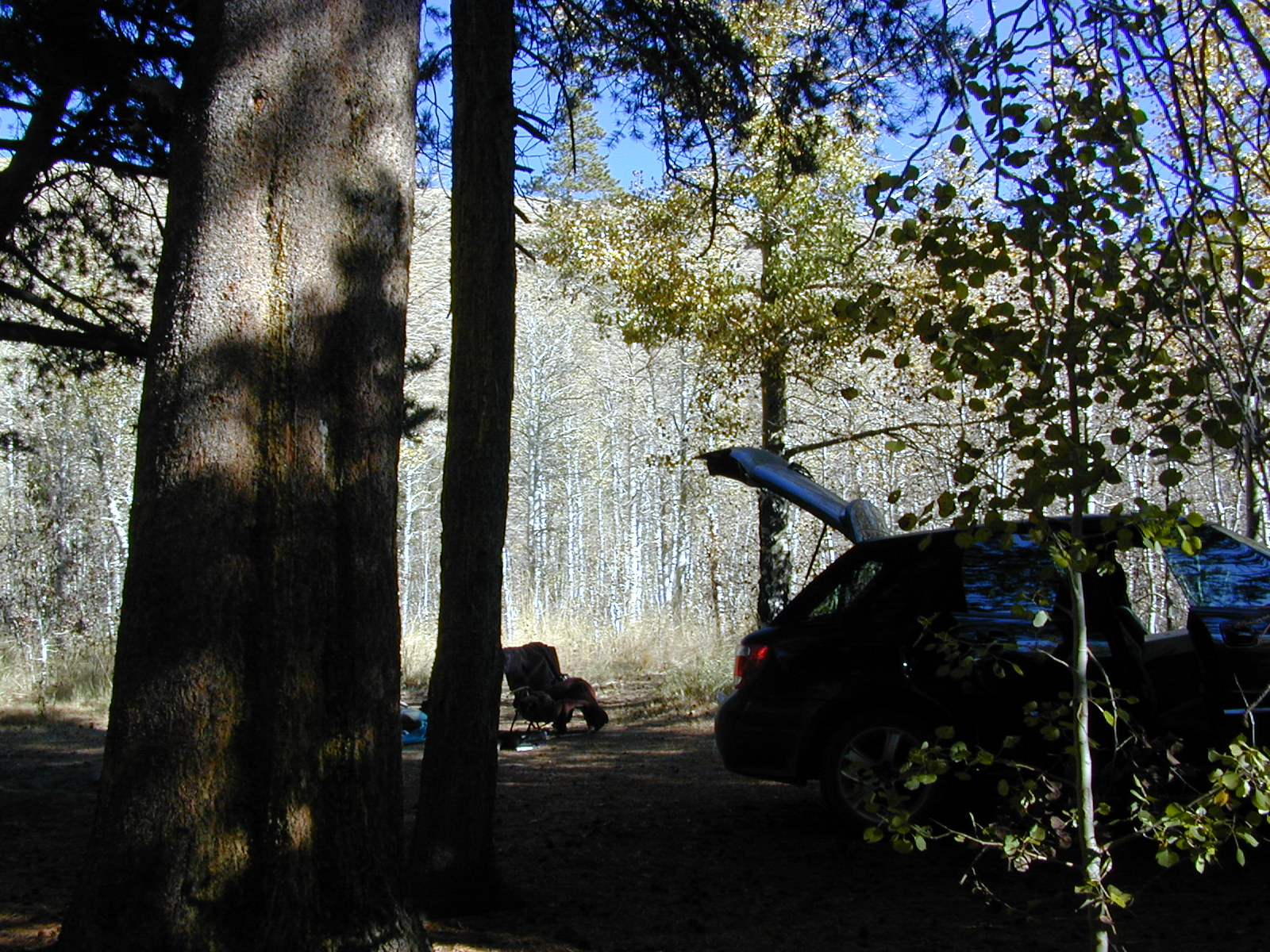
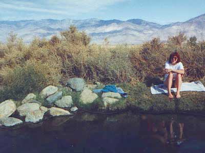
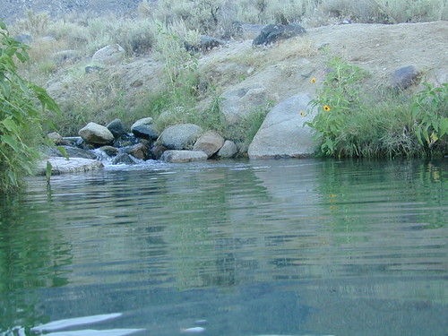
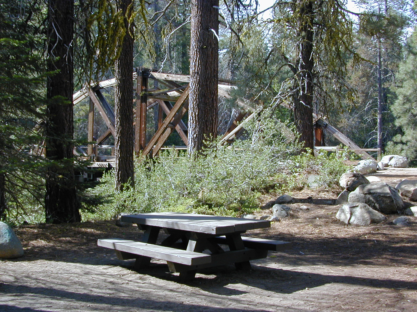
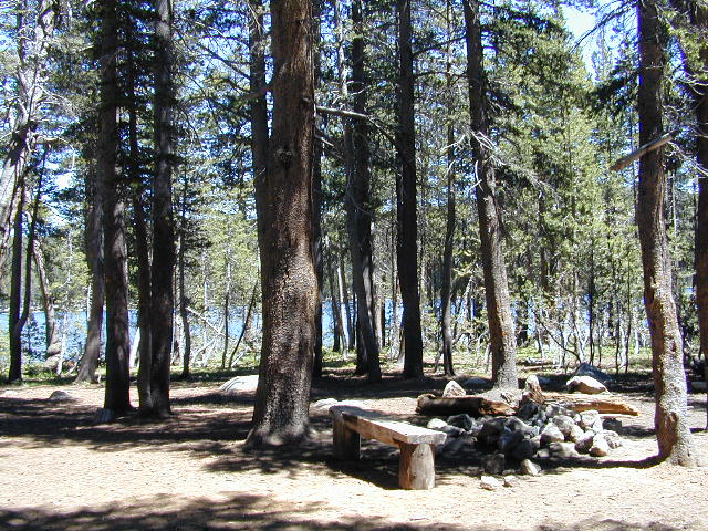
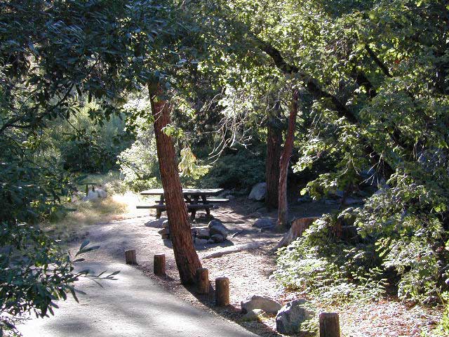
These foothill regions below are the rivers & mountains of the infamous California Gold Rush of the mid-1800’s. Many mountain dirt roads will lead to your secluded, private camp site, near a creek or river. Or plan on camping in a developed Campground near a recreation lake lined with amenities, pine trees & oaks. River rafting & kayaking can be found throughout this area, as well as backpacking, mountain biking and hiking trails. Fishing is very popular as well.

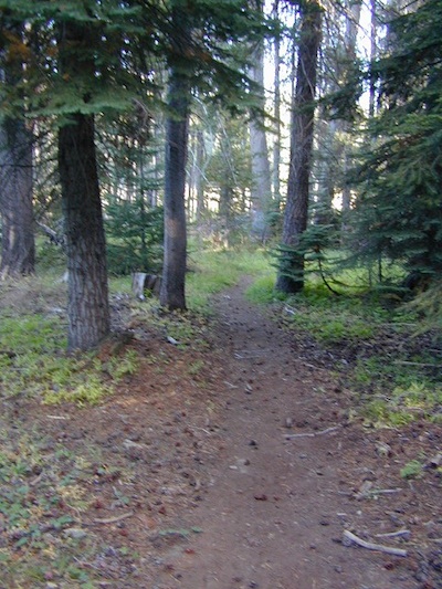
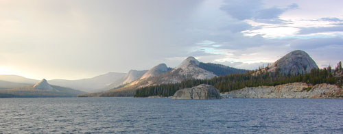
Waterfalls, back roads, granite features, historic mining camps, big fishing rivers all abound. Wilderness backpacking in the High Sierra can be accessed by Hwy 108 (Sonora Pass) Hwy 4 (Ebbetts Pass) Hwy 88 (Carson Pass), Sierra US Route Hwy 50 & Interstate 80. Numerous small towns populate Historic Highway 49 for every tourists need – meals, laundry, grocery, coffee, lodging & shopping.

waterfalls Sierra Nevada

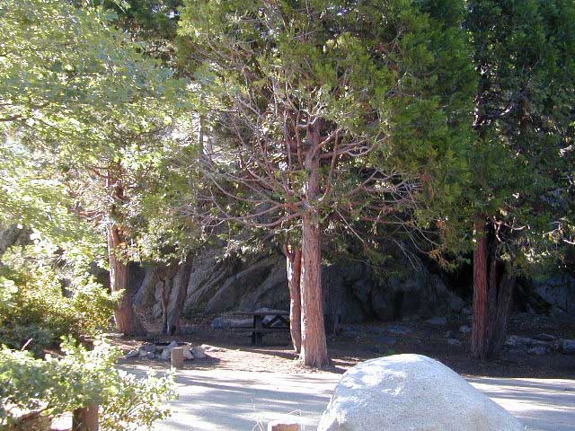
Gold Country California forest & parks –

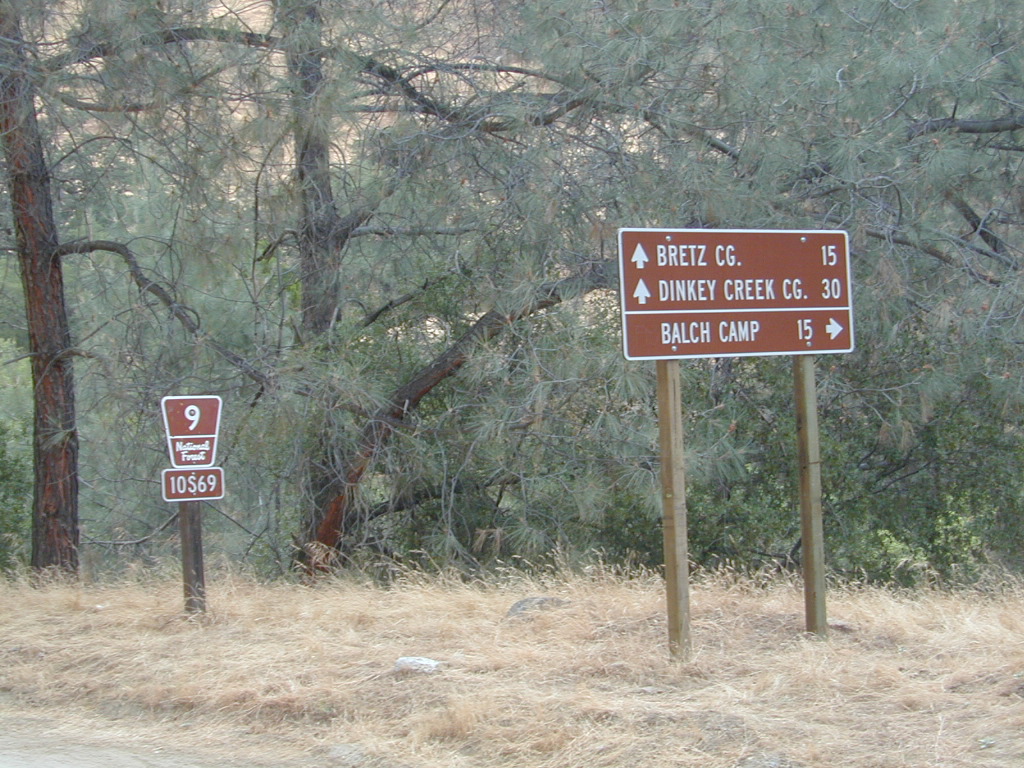
Hwy 4 Ebbetts Pass & Hwy 108 Sonora Pass

Stanislaus National Forest
Columbia State Park

Arnold, Columbia, Dardanelle, Jamestown, Long Barn, Mi-Wuk, Murphys, Pinecrest, Sonora, Strawberry, Twain Harte

Sierra Nevada

Hwy 4 Ebbetts Pass & Hwy 88 Carson Pass, US Hwy 50

El Dorado National Forest

Amador City, Bear Valley, Georgetown, Jackson, Kirkwood, Meyers, Placerville

Sierra Nevada

Interstate 80 Donner Pass

Tahoe National Forest

Alta, Colfax, Foresthill, Grass Valley, Norden, Sierraville, Soda Springs, Tahoe City, Tahoma, Truckee

Sierra Nevada

North Hwy 49 Yuba River

Malakoff Diggins State Park

Downieville, Nevada City

red brick alley

Bucks Lake Wilderness

DSCN0237

Bucks Lake Wilderness Area

Bucks Lake, California
Plumas National Forest

topo mapIn the hills and canyons above Chico many wonders can be found. North Sierra Nevada mountains, medium sized recreation lake surrounded by lush forest; N of Lake Oroville and S of Lake Almanor. North Fork Feather River canyon forms the northern boundary to this designated Wilderness Area. The area is popular with backpackers and PCT hikers, as well as equestrian and the region has over a dozen campgrounds. Backcountry terrain includes an impressive 6 mile long canyon wall.

camp Bucks Lake Campgrounds

hotels Bucks Lake Lodging

The popular boating destination, Bucks Lake reservoir, is just outside the wilderness boundary, which makes for an excellent destination for day hikes. Boating, fishing, backpacking, hiking, camping, canoeing, kayaking, rock climbing, snowmobiling and mountain biking are just some of the outdoor recreation in the area. This Wilderness region features a Silver Lake and Gold Lake, as well as numerous other small, unheard-of lakes. A few can be accessed by vehicle, but more than half are hike-in only lakes.

  • backpacking
  • boating
  • cabin rentals
  • camping
  • canoeing
  • fishing
  • floating
  • hiking
  • kayaking
  • sailing
  • swimming
  • Bucks Lake Wilderness
    23,958 acres
    5200′ elevation at Bucks Lake

    Alpine wilderness, mountain peaks, hiking trails, PCT trailheads, numerous small lakes, plus large recreational fishing lake

    Bald Eagle Mountain – 7183′
    Bucks Mountain Peak – 6819′
    Mount Pleasant – 7067′

    Small lakes around the Bucks Lake Wilderness Area

    Bald Eagle Lake
    Blue Lake
    Cape Lake
    Gold Lake
    Grassy Lakes
    Jacks Meadow Pond
    Kellogg Lake
    Lost Lake
    Mud Lake
    Rock Lake
    Silver Lake
    Snake Lake
    Smith Lake
    Thompson Lake
    Three Lakes
    Upper Mud Lake

    regional maps –

    nearby towns –
    Berry Creek, CA
    Meadow Valley, CA
    Quincy, CA
    Chico, CA
    Oroville, CA

    lodge and cabins
    historic lodge burnt down, but they rebuilt and are re-opened again

    DSCN0242

    more info –

    Bucks Lake Trailheads (PDF)
    BucksLake.net
    Bucks Lake Fire Dept
    Bucks Lake Wilderness Wiki


    View Larger Map

    Maxson Trailhead

    If you are a backpacker wanting to easily access the John Muir Wilderness, the paved parking area of Maxson is the trail head for you. The Courtright Reservoir is located at over 8000′ elevation, w/ granite domes & alpine scenery all around. This place is way back behind Dinkey Creek, past the McKinley Sequoia Grove inside a deep granite gorge. The Sierra National Forest is the region, which is south of Yosemite National Park. The paved route is a long one from Shaver Lake, via Dinkey Creek Road, but the rewards are great. An all day adventure and a side trip not to be rushed.

    Warning: You could spend a whole day just driving & sightseeing in this area! Meadows, wildflowers, dirt roads, trails, Big Creek, McKinley Grove of Sequoias, Wishon Reservoir, the list goes on. All the way out to the Wilderness boundary, Courtright Lake is not a quick or easy drive.

    The hikers trailhead is located at the end of Courtright Rd. Cross over the big dam to the right & drive approx one mile; look for signs on the right side of the road. There are minimal areas to set camp at this granite , windswept face. Good luck getting a tent stake in the ground. Rock rules here. There are a few developed Campgrounds on the opposite side of the lake which may be a better choice for car camping. This Maxson parking lot is primarily for backpackers.john muir maps

    nearby locales –

    maps of this Sierra region –


    View Larger Map

    Dusy Ershim 4×4 route start right here too – on the opposite side of the road. It’s second only to the Rubicon Trail, as far as High Sierra rocks & terrain.

    Rock Climbers also love this spot for the granite domes & walls. Hiking all the way around this lake is a full day trip, with lunch and sightseeing stops. A pleasure not to be rushed.

    dusy ershim

    California Camping Fishing

    California Camping & Fishing Destinations

    CA Camping Fishing / Camping Lakes in California

    Wanna camp at a California lake surrounded by pine forest & blue skies? And you want to fish the lake too? Well, you’ve come to the right spot. Total Escape features tons of great California destinations such as these listed below. Small lakes, big reservoirs, alpine favorites, plus some high country, hidden gems.

    Edison Glow

    Twin Lakes Campground California

    Multiple developed campgrounds & resort facilities surround these two gorgeous lakes in the Eastern Sierra, next to Bridgeport CA. Hoover Wilderness trail access to the High Sierra & Yosemite too.

    Lakes Basin Recreation Area

    Also known as Gold Lake, this Northern Sierra Nevada region features many small secluded lakes to hike to. Campgrounds are located near the lakes, but not on the lake edge. Some of these locations have cabin rentals that are open seasonally. Sierra Buttes is the key granite feature & attraction. Frazier Falls is also close by.

    June Lake Loop

    Just north of Mammoth Lakes, the June Lake area is one of the best places to fish in the Autumn season. The Eastern Sierra aspens start changing colors in late September. Make your reservations well in advance for cabins or campgrounds.

    Pinecrest Lake Sierra Nevada

    Sierra Nevada alpine bliss, Pine Crest Lake offers camping & fishing, but no motorized boats. Plenty side creeks & hiking trails nearby

    Lake Almanor California

    Known as a huge fishing destination, great boating & plentiful camping resorts, this Northern California lake is situated south of Lassen Peak, near Chester CA. Family vacation favorite.

    Camping Lake Tahoe

    This is the jewel of the Sierra Nevada mountains, centrally located for anyone to enjoy. A huge alpine lake surrounded by parks & outdoor recreation. Campgrounds book up months in advance, so make your reservations. Or you may end up camping the back roads, Total Escape style!

    Clear Lake California

    And a bunch more California Lakes with prime camping & fishing…

    California 4×4 access to Fishing Lakes

    Blackrock Reservoir

    Black Rock Reservoir, in the Western Sierra Mountains

    Campground Lakes

    RV California / Campground Lakes / Camping Lake

    RV lake Camping

    Wanna vacation near a lake this season? So does everyone else in California.

    “Mountains” & “lakes” are the top camping destinations sought by most web surfers. Be prepared to search for your ultimate lake side camp. Summertime is prime time at all water sources, so make your reservations, or better yet – find a secluded lake all to yourself. (4×4 may be required).

    boating marina camping RV Camp boating

    Lakes area recreation & camping sites in California

    granite domes


    Sierra Nevada Lakes

    California 4×4 Roads

    Panamint Creeks

    West Coast 4×4 club holds annual trail runs in Panamint Valley.

    California 4×4 – here is search term popularized by the SUV & the anxious city driver who wants to hit some dirt. Gone are the days when peeling out in the back of the Ikea parking lot adventure. You seek real trails & cool spots & Total Escape is here to deliver.

    Take your muddy or dusty vehicle to work on Monday (unwashed), just to prove you did something adventurous this past weekend! Once they see the photos, the co-workers will be envious… cuz they watched TV (and wasted 17 hours).

    BTW, TV = nothingness

    This entire web site was started around California back roads & self guided tours. You finally found us! Gotta get the 4wheel drive SUV into action (at least once per year – so the differential oil wont get like glue) & this web site can help you find the secrets spots of California.

    Xterra Ken in Baja 2005
    Anza Borrego Desert & Los Padres National Forest has the most 4×4 trails in all the SoCal region. Big Bear forest has some, but the crowds are thick on any given weekend. Angeles has Azusa & Lyttle Creek; Idywild has a few virtually unknown spots. Mojave desert & the Eastern Sierra have plenty to see, volcanoes, ghost towns, old mines, petroglyphs, all reachable with stock SUV. Inyo high country has some incredible sights, but only accessible half the year. You will need 4 wheel drive part time or full time on these trails listed below. AWD doesn’t count! Clearance and 4 wheel traction are key for control w/ rock crawling and deep sand.

    Searching for the extreme, rock crawling, hard core 4×4 stuff, go to the off-road races — or take your time & plan your adventure well. Chances are you’ll need a small team of people to explore these black diamond routes, a good forest map, plus very capable 4 wheelin’ rigs.

    red mountain

    Red Mountain 4×4 Trail near Shaver Lake

    Find California 4wheel drive roads below. Some of these routes will require a four wheel low range, with a transfer case. Do not attempt these with a new AWD SUV. Expect body damage on any 4WD trail.

    Anza Borrego Desert –

    Gold Country & Sierra Nevada 4×4 trails –

    Death Valley 4×4 Camps –

    Inyo NF 4×4 trails –

    Los Padres NF 4×4 trails –

    San Berdu NF 4×4 trails –

    • John Bull Trail, near Big Bear Lake CA
    • Deep Creek Trail, near Skyforest Lake Arrowhead CA
    • Gold Mountain Trail, near Big Bear Lake CA
    • Pipes Canyon, near Big Bear Lake CA

    San Diego 4×4 Trails –

    • Los Coyotes Indian Reservation, Lake Henshaw
    • Valley of the Moon, Jacumba CA

    baja roads 4x4

    Now, not every road is gonna need 4×4 all the time. Most of the dirt back roads can easily be passable in a 2WD in dry months, but forget that in winter or any good rain storm. Total Escape has compiled a huge list of Southern California Back Roads, for your viewing pleasure.

    California off road maps –

    Baker Creek
    Baker Creek, Inyo NF

    Kern River Canyon

    Kern Spring Wildflowers

    Kern River Valley is one of the all time favorite Sierra Nevada destinations for SoCal escapees. First, it is the southern most ‘big river’ action for the Sierra range. The drive up from Los Angeles is easy access; only a coupe of hours. California Highway 178 leads from Bakersfield up the mountain to Lake Isabella (exit at 155 for Kernville destinations). The 178 continues east past the rural communities of Onyx, Canebrake, Weldon, and then on to the Northern Mojave desert & US Highway 395

    Second, Kern has an abundance of outdoor recreation, from fishing to boating, river rafting to kayaking, backpacking, mountain biking, rock climbing, horseback riding, hiking, camping, & soaking. Kernville is the “recreation headquarters” for the region, where you can find rafting outfitters, camping supplies and rental equipment.

    Kern Rafting

    Third, the mountain scenery is very diverse – with the dry shores of Lake Isabella, the granite lined Kern River, or the ridges with towering cedar forests, plenty sugar pines, plus a few Sequoia groves; Tons of dirt back roads to explore, granite & gorges for the rock climbers, prime wilderness access & several primitive hot springs.

    The whole area is encompassed by the Sequoia National Forest with wilderness areas to the North & East. Giant Sequoia National Monument is located along the Western Divide Hwy in the northern portion of the National Forest.

    campingFIND CAMPING along the Kern River

    camping Sequoia National ForestFIND ALL Campgrounds in the Kern River Canyon

    Kern River Valley communities include:

    Whether you’re an RVer wanting a developed campground near town, a fisherman needing a primitive site right on the river, or a backpacker seeking the high country, the Kern has a little bit of everything. High elevations beyond 8000′ ridge lines, or the lush Lower Kern under 2000′ with granite boulders lining, Kern has it. 4 wheelers will love the extensive network of dirt back roads, or maybe the OHV areas of Keysville. Lake Isabella has numerous oak lined campgrounds & boat rentals available too. Summer is not the best time to visit as the temperatures soar to 100 degrees & the city crowds come in full force to the Kern Valley. Springtime, the best season to visit runs from March to May, or Autumn cools for September to December.

  • SEQUOIA NATIONAL FOREST MAP
  • DOME LAND WILDERNESS MAP
  • GOLDEN TROUT WILDERNESS MAP
  • SOUTH SIERRA WILDERNESS MAP
  • KernWildflowers

    HoboCampground
    Hobo Campground in the Lower Kern Canyon

    Hiking Sequoia National Forest

    Kern River Trails & Kernville Hiking

    Sequoia National Forest Trails

    Hiking Trails
    Hundreds of trails meandering throughout this forest. Granite domes to huge Sequoia trees. Most secluded areas are found in the Eastern Section in the Dome Land Wilderness.

    Dome Land Wilderness

    Golden Trout Wilderness

    South Sierra Wilderness

    Sequoia Hiking Maps, Wilderness Maps, OHV Maps

    Sequoia National Forest Hiking

    lower kern river
    the lush Lower Kern River on a misty Spring day

    Upper Kern Hiking

    Lower Kern River Hikes

    Sequoia National Forest & the Lower Sierra Nevada Mountains extend from the Tehachapi ranges to the Kings River Canyon; from the Great Central Valley to the Mojave desert.

    Sequoia National Forest MAP

    Dome Land Wilderness MAP

    Golden Trout Wilderness MAPS

    Kern River Valley communities include:

    Sequoia Mountain communities include:

    Lower Kern Camp

    Sequoia Sierra

    Sequoia Parks, an overview by Total Escape.Sequoia sierra

    As if the government wasn’t confusing enough, now they have named so many areas of the Sierra Nevada “Sequoia” that it confuses people even more. For Pete’s sake, all we wanna do is see some big trees, hike, fish, camp and really relax.

    The largest trees in the whole wide world are grounded right here in Cali, deep in the forests of the incredible Sierra Nevada mountains. The giant Sequoia groves are found in several parks in the Sierra, and are not specific to just the parks boundaries. You can find them as far south as the Western Divide Hwy, up past California Hot Springs – in the newest Giant Sequoia park, and you can find them as far north as Gold Rush Country.

    These massive Sierra redwoods are not be be confused with the tallest trees – the California Coastal Redwoods, which are found along the Pacific Ocean, from the canyons of Big Sur to rocky shores of Crescent City. The oldest living trees are the Ancient Bristlecone Pines, east of Bishop CA

    ancient trees

    Big, Tall, Old Trees

    A break down of all the redwood parks by geographic regions, so you can find exactly what you are looking for, without the confusing name games.

    Wikipedia: an excellent list of Giant Sequoia Groves

    Sequoia Area Maps:

    SUV Trail

    Baker Creek
    Baker Creek, Inyo NF

    Since sport utility vehicles were invented for California yuppies, it makes perfect sense that this California market also has the awesome terrain to use these rugged rigs. After the first shopping cart door ding or windshield crack, most folks are open to taking their utilitarian vehicles on dirt roads, but some will only dream about it.

    big bear joshua trees

    Here at Total Escape, we are here to change all that. The fear of outdoors, the unknown, the capability, the driving skill. Your SUV is a good reason to be outdoors in the golden state, at bare minimum. No excuses. Enjoy the California you never knew – and sometimes that means getting off the pavement. Yes, more than 2 miles.

    SUV trail – any path, dirt road or route that can be driven on; high clearance vehicle are often necessary, 4×4 needed on occasion. National Forests, canyons, deserts, mountains, country lane style drives, some classic routes skirt the wilderness boundaries. We have it all for ya here. Rock crawling Rubicon adventures, all the way down to the leisurely ‘Sunday drive’ thru a forest to a meadow for a picnic. 

    Jeep trails, forest roads, graded roads, gravel roads, back roads, dirt roads, 4×4 routes, OHV (off highway vehicle) trails.

    MAPS will get you out there!
    suv road trip
    Dust, dirt, mud, snow. Beyond the county line, way back there, where you can discover ghost towns, old mines in the desert, hot springs, historic lodges, petroglyphs, river gorges, fire lookouts, waterfalls, and so much more.

    Get motivated and travel in your SUV:

    cattle roads

    SUV camping

    sierra roads

    Small Campgrounds on Creek

    Road 10S69

    California Small Campgrounds on Creeks

    campground region town
    Beaver Creek Klamath NF Happy Camp
    Grider Creek Klamath NF Happy Camp
    Trout Creek Shasta NF McCloud, CA
    Bear Creek Mendocino Ukiah, CA
    Mokelumne Eldorado NF Jackson, CA
    Dark Canyon SanBerdu Idyllwild
    Grays Meadow Inyo NF Independence
    Limekiln SP Los Padres NF Big Sur, CA
    Patrick Creek 6 Rivers NF Crescent City
    Rock Creek Sierra NF Bass Lake
    McGee Creek Inyo NF Tom’s Place
    Camp Wishon Sequoia NF Springville

    Creekside Camping in California

    HIdden Falls
    creekside cabins

    Wanna do day-trips to this kinda place, fishing or sightseeing, but sleep indoors? Then check out lodging in these fine California river towns.

    Oregon Hill Road

    oregon hil lroad

    Oregon Hill Road –
    Sierra Nevada scenic drives

    also known as Challenge Road, driving from the lake up

    Oregon Peak & Little Oregon Creek
    Bullards Bar & North Fork of the Yuba River

    2800′ elevation

    Oregon Hill Road connects the rural residential community of Challenge to the recreation lake called Bullards Bar Reservoir, which is bordering on the Tahoe National Forest and Plumas National Forest park boundaries.

    This bumpy, little, back road route is kind of a “short cut” for those driving from Nevada City to Oroville, CA.

    From the Sacramento Valley, N of Marysville, take Hwy 70 N to Honcut, exit freeway and find your way east to La Porte Rd. Take LaPorte Road past Brownsville and up to the next neighborhood called Challenge; Turn right at the small, one room post office in Challenge and continue 14 miles down to New Bullards Bar.

    Or, if coming in to this lake from Gold Country Highway 49, take Moonshine Road or Marysville Road. Two developed campgrounds are located at the lake shore, on the east side. Boat in camping is most popular at Bullards Bar. The closed campground on the ridge (west side, above the lake) is called Burnt Bridge and has been non operational for years now, due to numerous wildfires.


    View Larger Map

    bullardsbarrecr

    New Bullards Bar Reservoir is a prime water sports recreation and house-boating destination, nestled in between the Gold Country and the Sacramento Valley near Yuba City, CA.

    Hoover Wilderness

    Dunderberg Meadow

     Dunderberg Peak capped with snow about half the year @ 12,374′ elevation. Dunderberg Meadow is a side route off Green Creek Rd. Upper Summer Meadow Rd is another side route off Green Creek Rd.

    Eastern Sierra Hoover Wilderness

    East Yosemite National Park

    48,601 acres
    10 miles South of Bridgeport, CA
    Toiyabe National Forest Autumn Eastern Sierrasand Inyo National Forest

    Hoover Wilderness spans  the mountain ranges from Sonora Pass to Tioga Pass, with high elevation peaks ranging from 10,000 to over 12,000′ elevation. Emigrant Wilderness lies to the west of Hoover, with Yosemite National Park & Inyo National Forest to the south.

    • Twenty Lakes Basin
    • Virginia Pass
    • Virginia Lakes Basin
    • Lundy Pass
    • Bond Pass
    • Hoover Lakes
    • Return Creek
    • Little Walker River
    • West Walker River
    • Matterhorn Peak – 12,264′ elev

    towns nearby –

    Aspen groves in the Eastern Sierra are some of the best autumn colors in the whole state. Fall car camping includes nighttime temps in the teens w/ fishing and hunting nearby.

    PCT trails, Eastern Sierra
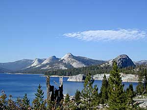
Pacific Crest Trail passes partially through Hoover Wilderness inside  Yosemite National Park.

    Hoover trails are not all dirt road access, but most are. There are 2 major trail heads along Highway 120 inside Yosemite NP, which lead north to Hoover.

    Hoover trailheads –

    California SR Highway 120 (Yosemite NP):

    off US Highway 395:Hoover Trail Map

    Twin Lakes area:

    • Robinson Creek
    • Horse Creek
    • Cattle Creek
    • Tamarack Lake
    • Buckeye

    Little Walker River area:

    • Bort Canyon
    • Emma Lake
    • Molybdenite Creek

    California SR Highway 108 (Sonora Pass):

    hoover wilderness map

    Green Creek Road is a signed dirt road on US Highway 395, near Virginia Creek Settlement and across from the Bodie ghost town turn off. Green Creek Campground  (a developed NFS campground) also has trailhead parking for Hoover hiking trails. Primitive free camp site can be found all along this major graded dirt road.

    Many developed campgrounds in the surrounding areas – Saddlebag, Lundy, Virginia, Green Creek, Twin Lakes, Buckeye, Obsidian. Off Sonora Pass, Levitt Lake usually gets the most snow depth around and is only acessible in summer months. Super remote primitive camping for those with a high clearance vehicle.

    FRee Camping Green Creek


    Keough Hot Springs

    Keough Hot Ditch
    HWY 395. Bishop. First Keough visit w/ Ted, 1990

    Keough Hot Springs

    Keough Hot Tubs, Eastern Sierra

    Keough Hot Ditch

    7 miles North of Big Pine & 7 miles South of Bishop;
    on the west side of Hwy. 395

    Keough California is comprised of two soaking spots – a small resort and the primitive tubs below. An Eastern Sierra rustic Hot Springs Resort w/ campground, tent cabins rentals and nice landscaping. Big, clean hot pools at the top of the road. Entrance fees, trees and vegetation, next to the mountains. Seniors and families frequent this place. Swimsuits are required.

    Keough’s Hot Springs Resort
    800 Keough Hot Springs Road
    Bishop, CA 93514
    760-872-4670

    Keough Hot Springs

    The Ditch

    Below the resort and above the highway, are some primitive, free hot pools that require dirt road driving. Public nudity is common. Open 24/7 w/ several brush lined pools on the eastern slopes of the Sierra Nevada Mountains overlooking the high desert of the Owens Valley. Quite impressive for being just off the highway. Buzzing, huge powerlines overhead are one of the only drawbacks of this soak spot. This place can get crowded at certain times.

    Posted: No overnight camping allowed at these lower hot springs.

    Soaking at Sunrise

    US Highway 395:
    Look for the turn off in between Bishop and Big Pine, California. Take the Keough Hot Springs Road up hill until the second dirt road, turn right and the primitive hot springs will be on the left, just beyond the cold stream crossing. Sometimes a high clearance might be needed. Cars should park and walk the if unsure of the terrain. Do not park right next to the soaking tub, as the ground is too weak and vehicles have been known to slide in, unexpectedly. No kidding!

    Plenty great camping all around the Eastern Sierra region. For campsites with cooler temps, higher elevation, pine trees & creeks: Head for the Glacier Lodge Rd – Inyo Road #9S21, West outta Big Pine.

    Adventurous 4x4s can try super remote Coyote Flat, a super high elevation pinyon plateau that overlooks Bishop. Also Highway 168 W outta Bishop will lead to primitive camping areas like The Buttermilks, a rock climbing area. Further up the hill is alpine lake and creek camping in aspen groves.

    Many developed Campgrounds in the region.


    View Keough Hot Springs in a larger map
    also nearby:

    Inyo Forest Maps

    Dinkey Lakes Wilderness

    Central Sierra Nevada

    Wilderness lakes
    Courtright Reservoir w/ CLIFF LAKE trailhead

    Dinkey Lakes California

    Dinkey Creek Road
    Tom Harrison Dinkey Map East of Shaver Lake, Hwy 168

    30,000 acres

    Sierra National Forest

    Located in the high elevations between Shaver Lake and Courtright Reservoir is the Dinkey Lakes region. Granite domes and alpine lakes are the key feature of this mid-Sierra forest. John Muir Wilderness is located on the east (right) side of Courtright, while Dinkey Lakes Wilderness is on the opposite west (left) side.

    • alpine lakes
    • backpacking
    • camping
    • creeks & streams
    • cross country ski
    • fishing
    • granite domes
    • horseback trails
    • hiking trails
    • off-roading
    • rock climbing
    • snowmobiling
    • snowshoe
    • stargazing
    • wildflowers
    • wildlife viewing

    4 wheel drive trails serve some of the Wilderness boundaries. Dusy Ershim OHV Trail (pronounced ‘doosey’) crosses the boulder strewn terrain for 30 rugged miles, from Courtright to Kaiser Pass. Road #8S10 is known as ‘Red Lake Road’ and pretty popular among 4x4s and fishermen. This high clearance 4×4 trail accesses both scenic lakes – Red Lake and Coyote Lake, as well as Dinkey Wilderness trailheads.

    Trailhead Access:

    Access the trailheads on the north side of Dinkey Creek Road, a paved route which connects Shaver Lake to the Sequoia McKinley Grove and then on to Wishon and Courtright. Rock Creek Road #9S10 becomes dirt and leads up to the Dinkey Lakes hiking trails.

    Paved Dinkey Creek Road leads out to the Trails End trailhead. Dinkey Creek and main Campground is located at 5840' elevation and tucked deep in the forest, about 10 miles east of Shaver Lake. Beyond the Sequoia grove is Wishon & Courtright Reservoirs w/ Cliff Lake trailhead. All the other trailheads located at these large lakes lead over to John Muir Wilderness.

    Paved Dinkey Creek Road leads out to the Trails End trailhead. Dinkey Creek and main Campground is located at 5840′ elevation and tucked deep in the forest, about 10 miles east of Shaver Lake. Beyond the Sequoia grove is Wishon & Courtright Reservoirs w/ Cliff Lake trailhead. All the other trailheads located at these large lakes lead over to John Muir Wilderness.

    The Dinky Creek locale (on most maps) is located at the main Dinky Creek Campground, along Dinky Creek near the historic Dinky bridge on a small, paved, side route north of the main road. Although this summer vacation area is well signed, people can often miss this turn, especially at night.

    DSCN0005

    USDA map Two main hiking trail systems can be accessed from the west, via Tamarack Ridge (parking at Hwy 168). Both dirt routes from highway, Road #9S09 and Road #8S10 lead out to Dinkey trails, although one is rugged 4×4 trail, Red Mountain OHV, and the other is a long, graded dirt road.

    Kaiser Pass Road to the north side has even more trails leading into Dinkey. Badger Flat and White Bark trailheads are closest points to Huntington Lake, CA. Bolsillo trailhead is way back near Florence Lake, which also has a major trailhead and paved parking.

    NFS


    local rangers:

    Sierra National Forest
    High Sierra Ranger District
    29688 Auberry Rd
    Prather, CA 93651
    559-855-5355

    Secluded Camping
    4×4 Camping at Coyote Lake


    Lily Pad Campground

    Lilypad Campground @ Lake Wishon Reservoir
    Sierra National Forest, California

    The long journey up the mountain into the Sierra National Forest is only for the true adventure seekers. First off, get a good forest map. Second, plan several days if not a full week off of work to explore this region in depth. It is a long drive from most anywhere in California, and this spot is way, way tucked back in there right up against the High Sierra peaks and wildness.

    East of in Fresno, historic village of Clovis is a good lunch stop in route. Drive up mountain on Hwy. 168, turn right at Shaver Lake on to Dinkey Creek Rd. Now you will clock the mileage 28.7 miles to the camp. Drive past McKinley Grove and past Dinkey Creek. Follow signs to Wishon Reservoir. This campground is located adjacent to the road before you reach the dam.

    All this travel time will have you asking ‘is it worth it’? The answer is ‘yes’….. if you want an uncrowded lake with plenty of wilderness surrounding you. Granite rock and forest all around. Lake Wishon is a hydroelectric reservoir operated by PG&E

    Lily Pad Campground

    Central Sierra Camping – Wishon Lake

    High Sierra Rangers Office: 559-855-5355

    • Elevation: 6,500′
    • Number of Sites: 15
    • Camping Reservations: No
    • Sites Available: First come, First serve
    • Vehicle Accessibility: 35′ limit on RVs & trailers
    • Length of Stay: 14 Days
    • Toilet: Vault
    • Water: Piped
    • Season: Closed in Winter Snow
    • Fee: Yes

    camp sites at lake

    Large granite boulder coves provide cubby-hole privacy w/ shady trees and well spaced camp sites. Very unique design with paved driveways, adequate for handicapped camping with some sites with better access than others. 4 camp sites are considered walk-in sites.

    Lake views from camps are only a mere climb up to the top of the nearest granite, which will show you just how close you are sleeping to the big water.

    As with any Sierra location, holiday and summer weekends are the most busy. Tourists, family campers and RVers are all out enjoying the sunshine. Mid-week camping is good for fishing, relaxing w/ peace and quiet. Off season is best for having the place to yourself.

    Outdoor recreation in the area include – hiking, camping, backpacking, rock climbing, mountaineering, sightseeing, kayaking, canoeing, mountain biking, off-roading, creek fishing, lake fishing.


    Neighboring Wishon Village has a small general store, RV park w/ wifi & boat rentals.


    Dome Land Wilderness

    Southern Sierra Nevada Mountain / Domeland / Dome Lands
    Kern Plateau, Sequoia National Forest

    Dome Land Wilderness

    130,081 acres

    55 miles of trails (hiking & horseback)

    Located at the southern end of the Kern Plateau about 20 miles east of Kernville, granite domes give this area its name. Domeland Wilderness is a unique geologic area with semi-arid to arid mountainous regions. Elevations ranging from 3,000′ to 9,730′ – it is surrounded by National Forest, where the Sierra mountains meet the North Mojave Desert. The Wilderness is the southernmost habitat for the Golden Trout. The South Fork of the Kern and tributary streams attract many fishermen. Vegetation is mostly mixed conifer and piñon (pinyon pine).

    The Domeland Wilderness is located at the southern end of the Kern Plateau. This land was first protected by the Wilderness Act of 1964 as a 62,695 acre wilderness and was later expanded to 130,081 acres in 1984 to include the delicate transition ecosystems that meet to the east, south, and north of the original wilderness. These new additions, now jointly managed by the Bureau of Land Management and Sequoia National Forest, are rugged and dry.

    Though it is considered within the Sierra range, the Domeland Wilderness includes the overlap of several ecosystems to form unique plant and animal communities. The banks of the South Fork of the Kern River offer important riparian habitats of cottonwoods and meadows which stand in sharp contrast against the characteristic smooth domes and bold granite outcroppings. Domes that range from the size of a cottage to football fields across and spear-like jagged spires can be found in the Domeland. This range is one of the driest in the Sierra with the semi-arid mountains of the north and east crumbling into desert.

    Notable Wildfires: Dome Fire 1996. Manter Fire in 2000.

    Dome Land trailhead locations:

    East side access near Rockhouse Meadow and at the Long Valley Campground (BLM). Access is via Nine Mile Canyon Road (J41) from US Highway 395 or Chimney Peak Road (graded dirt road) via State Highway 178 , the main route that passes Lake Isabella.

    West side trailheads are at Big Meadow and Taylor Meadow. Two trails from Big Meadow can be reached from Kernville via Tulare County Road M99, Sherman Pass, and Cherry Hill Roads. Leading to Manter Meadow, the upper Big Meadow Trail is a rugged hike while the lower Big Meadow Trail follows more gentle terrain. The trail from Taylor Meadow (southeast of Big Meadow) also leads to Manter Meadow. North side access is available from the Blackrock/ Sherman Pass Road via the Dark Canyon and Woodpecker trails.

    dome land mapManter Meadow is popular along with other camp sites located at Little Manter Meadow, Woodpecker Meadow, Rockhouse Meadow, and in the Bartolas Country at the south end of the Wilderness.

    Dome Land Wilderness Map USDA


    surrounding lands & forests –

    Sequoia National Forest
    Ridgecrest Desert BLM

    nearby towns –

    National Forest & Wilderness Permits –

    USDA Sequoia NF

    More Dome Land Wilderness Info & Links –

    sierrawild.gov/wilderness/domeland
    summitpost.org/domeland-wilderness
    Dome Land Wiki

    Mokelumne Wilderness

    Central Sierra Nevada Mountains, California

    Mokelumne Wilderness Area

    topo mapsMokelumne Map

    Mokelumne (pronounced moo-ka-la-mi)
    Backpacking, Camping, Fishing, Hiking, Kayaking Mokelumne River / Mokelumne Fishing / Mokelumne Trail / Mokelumne Wilderness Topographic Map

    Vast alpine ranges located in the middle of the Sierra Nevada, between Highway 88 (Carson Pass) & Highway 4 (Ebbetts Pass). The Mokelumne Wilderness is a 105,165-acre federally designated wilderness area located 70 miles east of Sacramento, California. It is within the boundaries of three national forests: Stanislaus, Eldorado and Toiyabe. First protected under the Wilderness Act of 1964, the Mokelumne’s borders were expanded under the California Wilderness Act of 1984 with the addition of 55,000 acres. The wilderness takes its name from the Mokelumne River, which was named after a Mi-wok Indian village located on the riverbank in California’s Central Valley.

    The wilderness encompasses an area of the Sierra Nevada mountain range between Ebbetts Pass to Carson Pass. There are two sections separated by the Blue Lakes Road and an Off-Road Vehicle corridor. Elevations range from 4,000′ to 10,381′. The highest point is Round Top 10,364′, a remnant volcano from which the wilderness area’s volcanic soils are derived from and is located on the east side of the Sierra crest.

    recreation –

    • backpacking
    • camping
    • creeks
    • fishing
    • hiking
    • ice climbing
    • kayaking
    • lakes
    • mountaineering
    • rivers
    • wildflowers

    surrounding forest lands –

    National Forest & Wilderness Permits –

    USDA Stanislaus
    Lake Tahoe Basin Management

    More Mokelumne Wilderness Info & Links –

    sierrawild.gov/wilderness/mokelumne
    summitpost.org/mokelumne-wilderness
    Mokelumne Wiki
    Mokelumne River

    Sunset at Mosquito Lakes

    Golden Trout Wilderness

    Golden Trout Wilderness Area

    granite Upper Kern River is Mount Whitney snow melt
    • 303,511 acres
    • elevation range 1,000′ – ­13,000′
    • pine forest, chaparral
    • granite walls, domes
    • 379 miles of trail
    • summers are busy
    • snow in winter
    • best in early spring
    • wood fires may be restricted
    • portable stoves permitted
    • water plentiful
    • rock climbing & mountaineering
    • fishing
    • backpacking
    • primitive hot springs
    • waterfalls, swimming holes
    • wilderness permits required for overnight
    Golden Trout Wilderness surrounds the mighty gorge of the Upper Kern Canyon, south of Mount Whitney.
    Inside

    TULARE COUNTY

    bordering

    Inyo National Forest

    Sequoia National Forest

    Eastern Sierra Interagency Center
    760-876-6200

    Golden Trout / South Sierra Wilderness Map USDA

    Golden Trout Trail Map

    Located in the South Sierra Nevada mountains alongside the Southern Sierra Wilderness. Inside the remote rugged peaks of a deep, granite crevasse known as the Upper Kern River with ancient Sequoia forest to the west and to the eats, some of the tallest peaks in the Sierra range. This wild land area is home to the California golden trout and is the main water flow southward from the tallest peak in the lower 48  – Mount Whitney on the Eastern Sierra front.

    Sequoia National Forest
    Monache Meadows
    Inyo National Forest
    Mountain Home State Forest
    Sequoia National Park
    Mineral King

    Golden Trout Wilderness

    Roads, campgrounds and trailheads surrounding Golden Trout Wilderness

    Eastern Sierra –

    Horseshoe Meadows Road (paved) leads up to high elevation meadows from the high deserts of Lone Pine, CA. Pacific Crest Trail (PCT) access; Mount Whitney and John Muir Wilderness are to the north. Equestrian corrals and horse trails. Camping is limited to a one night stay at any of the 3 campgrounds up here.

    Golden Trout Trailhead Campground: elevation 10,000′ / 12 walk-in sites / closed winter
    Horseshoe Meadows Campground: elevation 10,000′ / 18 walk-in sites / closed winter
    Cottonwood Equestrian Camp: elevation 10,000′ / 10 horse corrals / closed winter

    Forks of  the Kern –

    Fork of the Kern / Loyds Meadow Road #22S82 – This main paved road connects the Kern River (Sierra Hwy Road #99) to the lower elevation, granite slopes of the Western Divide, and the route dead ends at Jerky Meadow parking lot. Camp 1-6 are primitive camp areas located on dirt side roads and 4×4 might be required on some of them. Obtain a campfire permit from rangers in Kernville. Fishing, camping, waterfalls and swimming holes are popular in this region. The big developed camp along this road, is located 10 miles up, in a pine filled valley on Peppermint Creek on the west side of the street and is within the Giant Sequoia National Monument.

    Lower Peppermint Campground: elevation 5300′ / 17 camp sites / open year round

    Lloyd Meadows @ Sequoia Forest Road# 20S67 – is the Forks of the Kern Trailhead & the dirt road that accesses it, is very popular among equestrian campers.

    Western Divide Highway –

    Road #20S79 leads from Western Divide Hwy to Lewis trailhead.
    Road #20S50 leads from Western Divide Hwy to 2 hiking trailheads.

    Sequoia National Park, Three Rivers, CA –topo maps

    South Fork Road leads up Kaweah River at Southfork trailhead.
    Mineral King Road is only open seasonally, access to high country lakes and trailheads.


    SEQUOIA AREA MAPS –

    Golden Trout Wilderness Maps
    Sequoia National Forest Map USDA
    Inyo National Forest Map USDA
    Mineral King Map
    Sequoia & Kings Canyon NP Map
    NatGeo Sequoia Kings Map

    Golden Trout Wilderness trailheads:

    east side –
    Cottonwood Trailhead (near Lone Pine)
    Blackrock Trailhead (Monache Mdws)

    south side –
    Jerky Trailhead
    Forks of the Kern Trailhead
    Lewis Camp Trailhead (Western Divide)
    Summit Trailhead (Western Divide)
    Clicks Creek Trailhead (Western Divide)
    Camp Wishon Trailhead (Western Divide)

    west side –
    South Fork Trailhead (Three Rivers)
    Atwell Mill Trailhead (Silver City)
    Franklin Pass Trailhead (Mineral King)

    List of nearby towns:

    Desolation Wilderness

    Desolation Wilderness Area

    63,690 acres, a federally protected wilderness area located along the crest of the Sierra Nevada mountain range – in between Lake Tahoe and the Gold Country, on the western slopes. This is back country Tahoe @ tree-line, where big, bare granite rock of the High Sierra meets the snow melt in 80 alpine lakes; several streams; hiking, fishing horseback riding, and backpacking. Elevation range approx. 6000′ – 9,985′

    El Dorado National Forest

    916-573-2600

    The Tahoe Rim Trail and Pacific Crest Trail pass through the wilderness.

    Desolation Wilderness Map
    Desolation Wilderness Map
    (National Forest Service USDA)

    Desolation Wilderness Topo Map
    Desolation Trail Map
    (Tom Harrison Maps)

    List of Desolation Wilderness trailheads:

    • Loon Lake Trailhead
    • Buck Island Trailhead
    • Van Vleck Trailhead
    • Rockbound Trailhead
    • Twin Lakes Trailhead
    • Lyons Trailhead
    • Twin Bridges Trailhead
    • Ralston Trailhead
    • Echo Trailhead
    • Echo Lakes Trailhead
    • Glen Alpine Trailhead
    • Mount Tallac Trailhead
    • Bayview Trailhead
    • Eagle Falls Trailhead
    • Meeks Bay Trailhead
    • Horsetail Falls Trailhead

    List of nearby towns:


    View Larger Map