Mason Valley – Oriflamme Canyon
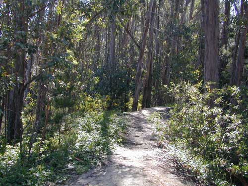
Mason Valley Truck Trail refers to a network of dirt roads on the west side of San Diego County Road S2, on the steep mountain slopes overlooking the desert badlands of Anza Borrego State Park. These primitive back roads lead up to the Pacific Crest Trail (PCT) on the edge of Laguna Recreation Area.
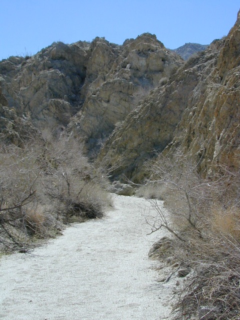
Oriflamme Canyon, Chariot Canyon & Rodriguez Trail are all in the area. Chaparral mountain trails lead off in many directions with dead end canyons and side routes. This high desert region consists of private property, ranches with gates, various trails and desert dirt roads – between 2400′ and 4000′ elevation.
A good portion of the lands on the west side of paved S2 are not inside the State Park boundary, but Oriflamme is the exception. The Anza Borrego Desert State Park borders includes this particular back road canyon, almost up to the Cleveland National Forest. Awesome locals little secret!
- Oriflamme Mountain @ 4611′ elevation
- Chariot Mountain @ 4644′ elevation
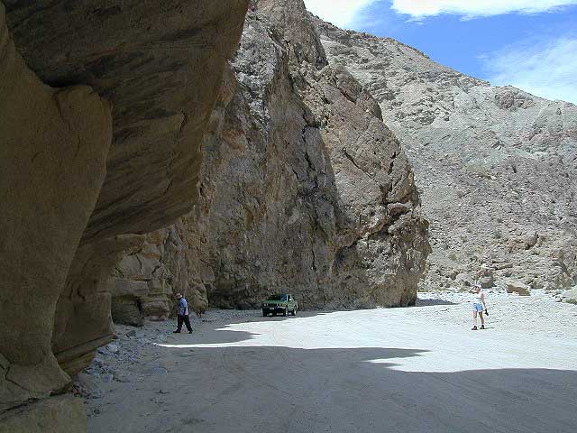
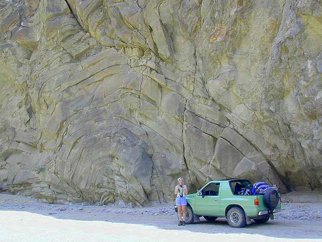
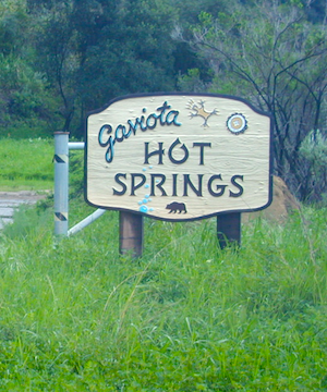
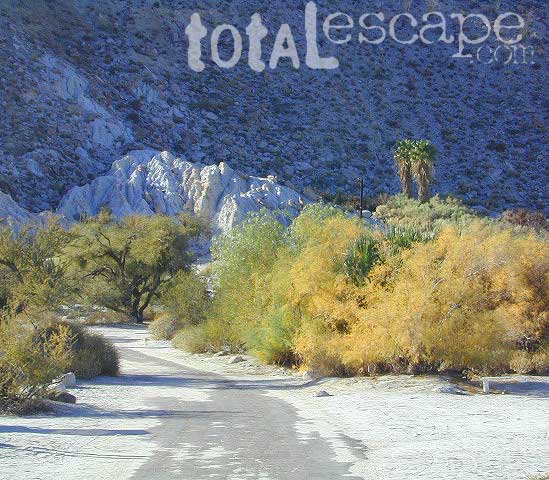
 The main access to Mason Valley Truck Trail is located near the bottom of Box Canyon (on Co. Rd. S2). The sign at the turn off reads Oriflamme Canyon. The first sandy mile or so gets kinda confusing, as the ranch road, dirt trails and natural desert wash merge with the seasons and rains. You might encounter locked gates if you take the wrong turn. In the wash look for signage for Oriflamme.
Approximately 2 miles from S2 the dirt road splits. To the left is Mason Valley Truck Trail, which continues up Oriflamme Canyon and into wooded Chariot Canyon, eventually connecting with Hwy 78 (at Banner Grade). And the other choice on the right is a rugged 4×4 route called Rodriguez Truck Trail which is 7 miles long and meets back up with the main Oriflamme road about a mile from the highway. These back roads encircle the biggest peak around called Chariot Mountain.
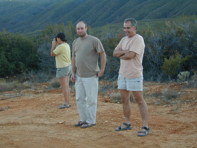
Mountain bikers, hikers, horses and vehicles all use these routes, so be prepared to see others out exploring and please, always yield to equestrian traffic.
 |
 |
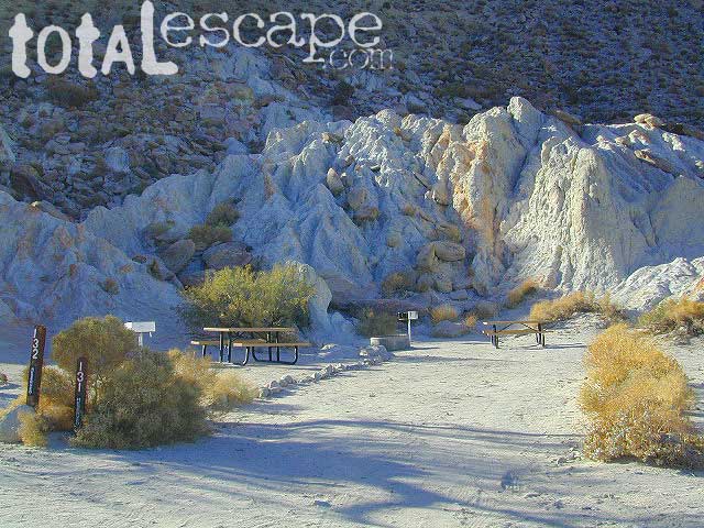
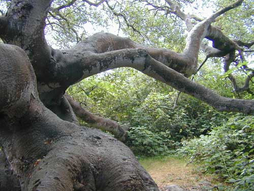
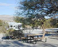
Several open, free camp spots lower in the canyon w/ large cottonwood trees. More hidden camps to be found higher up the mountain. A decent topo map, a campfire permit and a metal fire bucket is highly advised.
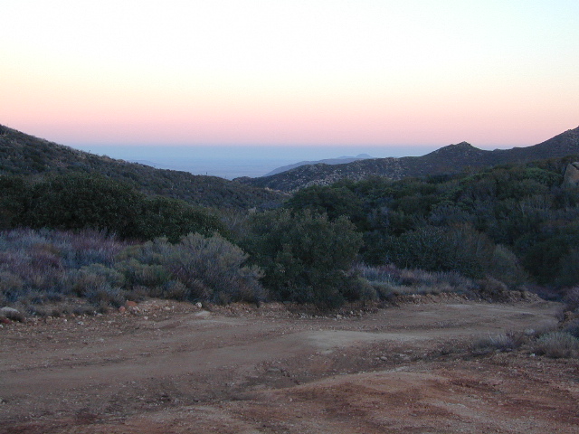
PCT: Pacific Crest Trail traverses the ridge line near 4000-6000′ and the desert valley below is nearing 2000′ elevation. The ambitious plan for the California Riding and Hiking Trail is still under construction and routed nearby as well.
Butterfield RV Ranch and the historic adobe Vallecito Stage Stop, are the closest thing to civilization you will find around these parts Don’t count on gasoline or cell phone coverage anywhere near here.
NEARBY TOWNS: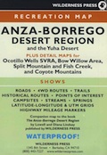
- Borrego Springs, CA
- Descanso
- Julian, CA
- Mount Laguna
- Ocotillo, CA
- Pine Valley, CA
- Santa Ysabel
- Shelter Valley
Desert / Mountains
SOCAL MAPS:
- Anza Borrego Desert Region Map
- Cleveland National Forest Map
- Pacific Crest Trail Map – PCT #1
- San Diego Backcountry Map
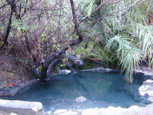

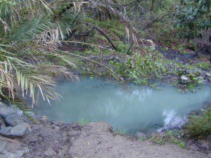


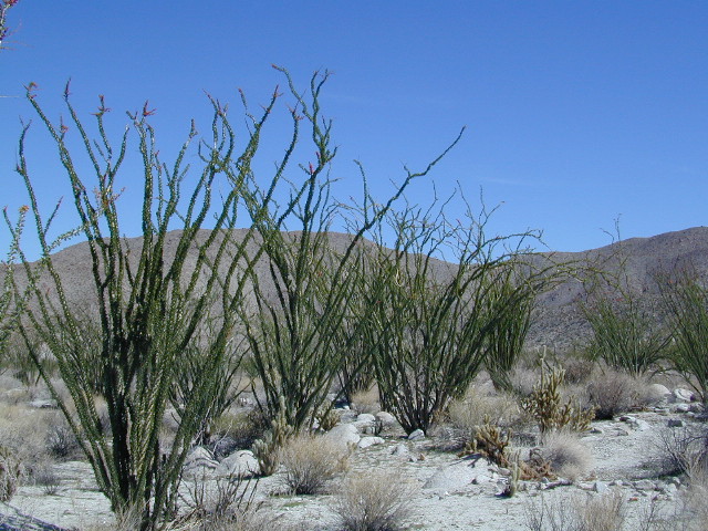

 he desert surface. A decent water supply also supports plant life & wildlife.