
The Mountains of California

If you know you wanna head up in elevation, higher altitudes – to the pine forests of California, but have no clue where to start, this page may be very helpful in determining your ultimate destination. We have hundreds of pages on adventures & locations throughout the golden state. We sell all California maps for outdoor recreation, hiking topos to off road routes.
Wanna camp under the stars this weekend – and avoid the crowds too? You will need a good back road map to find this awesome camp site, guaranteed. Need a hammock spot, small swimming hole & total seclusion? Or how about a large family camp w/ Sequoia grove nearby? Total Escape has something for every ones budget & lifestyle. See below for an extensive breakdown of California mountain regions.
#1
SoCal mountains have tighter restrictions on campfires, larger number of people camping in a smaller amount of space, minimal primitive camping options in the forests, more fees to access these lands.
#2
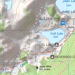
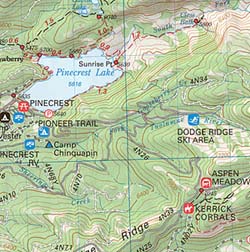
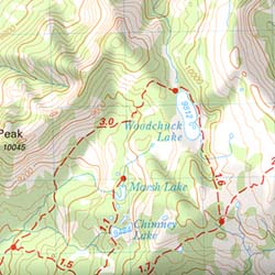
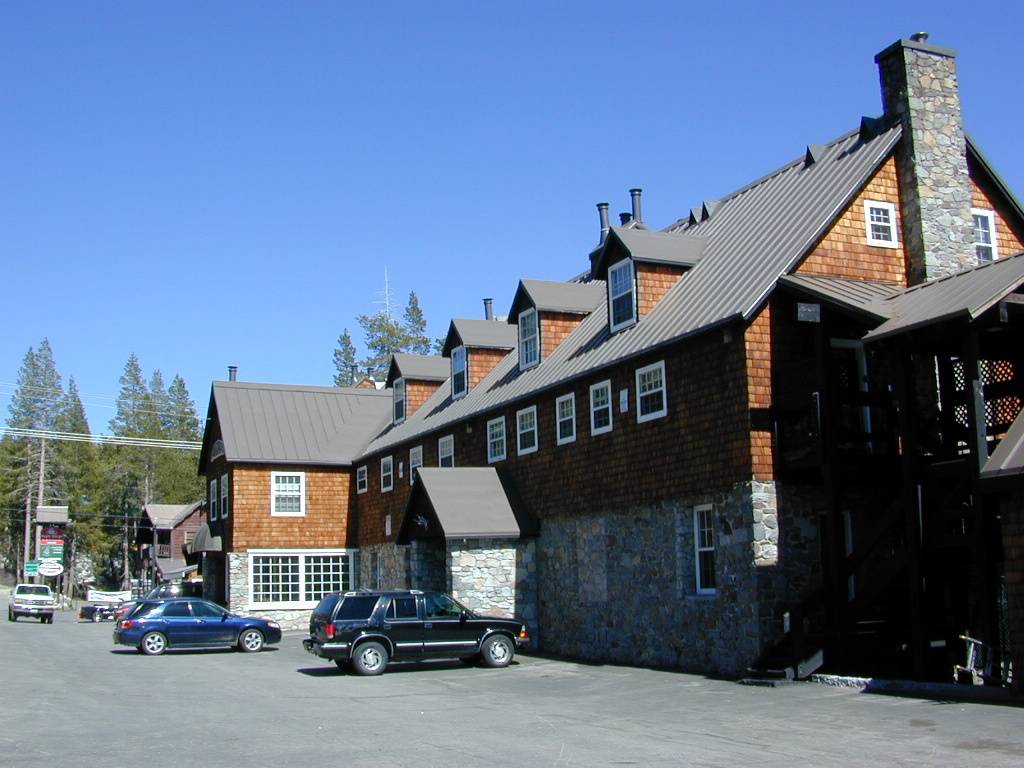
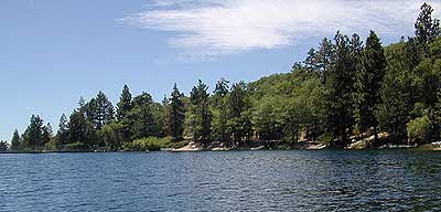
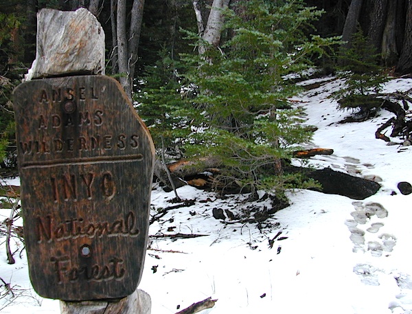
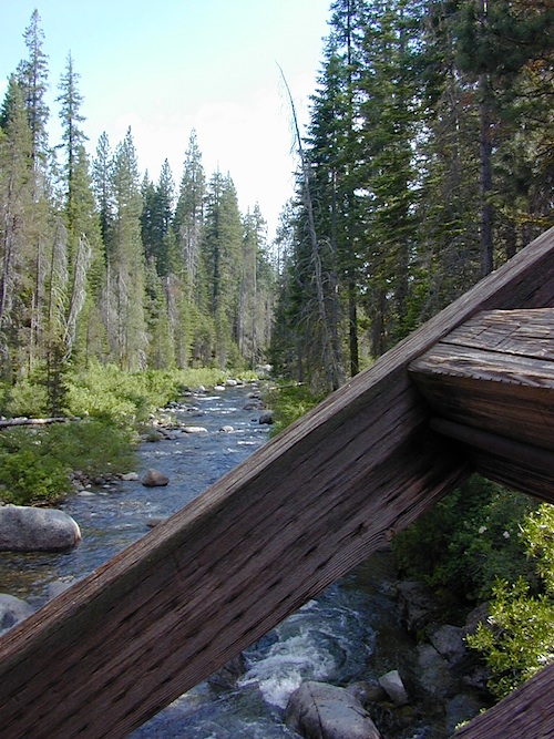
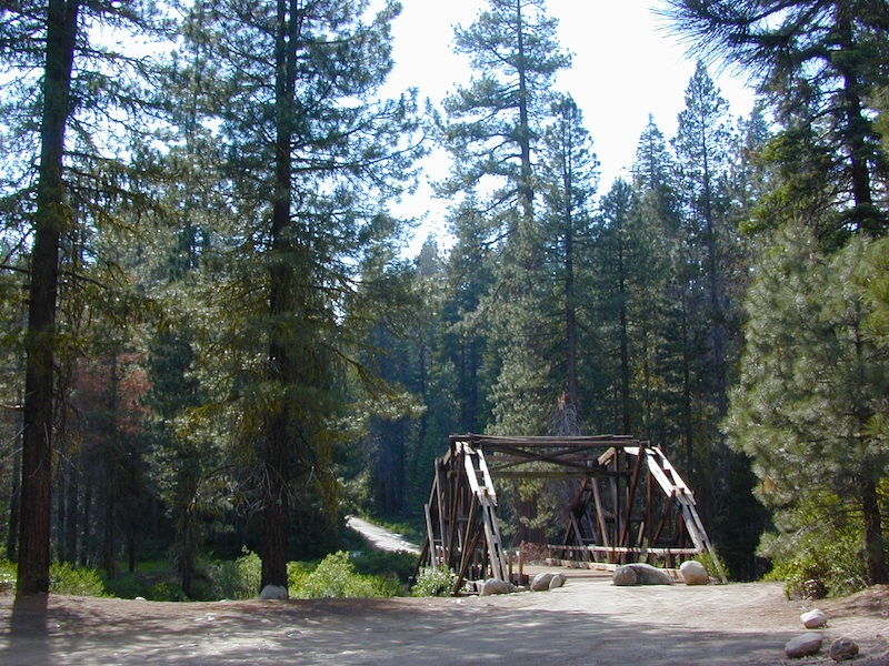
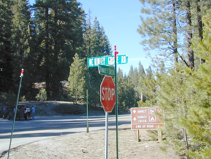
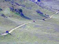
The Sierra Nevada mountains are the prime outdoor destination for many in the Central California region. High elevations w/ granite slabs to lower country reservoirs & riverside oak flats. Folks come from all over the world to visit parks and lakes within this mountain range. Indeed, 4 National Parks call the Sierras home: Lassen, Yosemite, Kings Canyon and Sequoia NP – not to mention the 10 National Forest and 15+ Wilderness Areas.
#3
You want big water? Cabins next to a prime fishing river or camping near lakes, creeks with dense forests, then you will have to drive to the mid Sierra or even NorCal to find ’em.

California Mountain Regions Defined –
find the details on specific region for California mountains
-
San Diego Mountains
-
Los Angeles Mountains
-
Central Coast California Mountains
-
Central Sierra Nevada & Sequoia
-
Gold Country Sierra Nevada
-
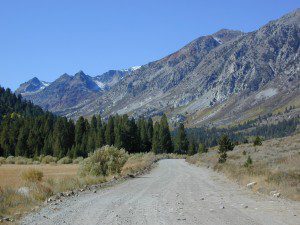
Eastern Sierra Nevada California
-
Northern Sierra Nevada
-
Northern California Mountains
-
California North Coast

epic finds
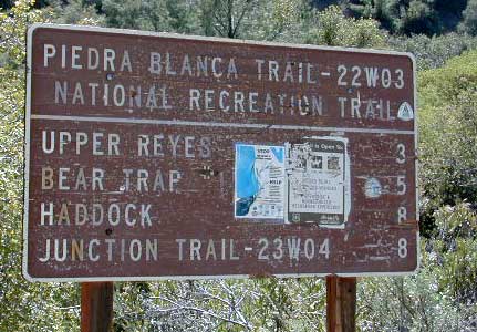
Find little known parks, camps and forests within our vast California BACK ROADS data base. Below is a small sampling of our picturesque mountain pages, where you can find the best seclusion: hiking, camping, fishing, mountain biking trails, rivers, creeks and peaks.

- California Back Roads
- California Elevations
- Mountain Home State Forest
- Canyon Creek Campground
- Snake Lake Campground
- Taylorsville Campground
- Heartbar Campground
- Mammoth Pool
- Gold Lake & Mini Gold Lake
- All the Silver Lakes in California
- National Forest Cabins & Fire Lookouts
- Lake List for California


Outdoor Recreation Maps of California:
- California National Forest Maps
- Forest Topo Atlases
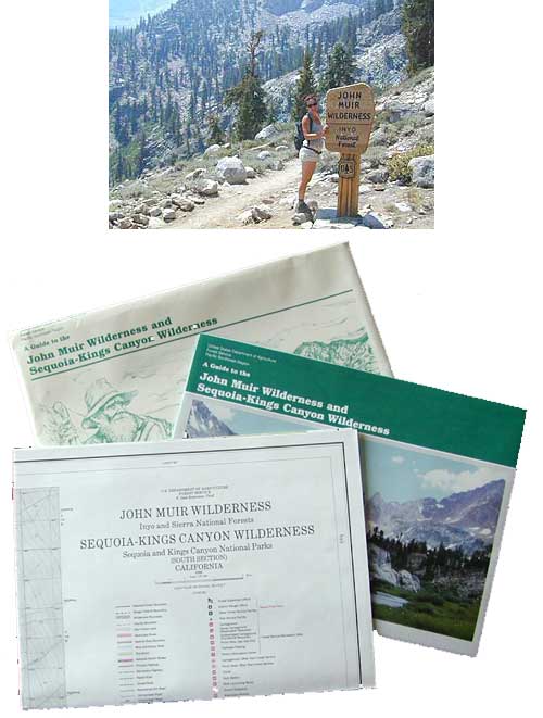
- All California Wilderness Maps
- Off Road 4×4 Maps
- Outdoor Recreation Maps
- National Geographic Maps
- Sierra Nevada Maps
- State Atlas Maps
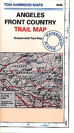
- Tom Harrison Waterproof Hiking Maps


 California Terrain


 Snow is always a factor in mid to high altitude towns with road conditions being unpredictable with each mountain range and each micro-climate. Winter months range from late October to May, so be warned. Above 3000′ elevation usually gets some snow. Serious snow above 5000′. Some High Sierra Passesdon’t open until JULY (Yosemite Hwy 120 & Sonora Hwy 108). Carry tire chains or have 4×4 to travel safely on snowy roads. Guard rails are seldom around every curve.


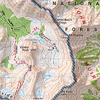
 SDBKCO Recreation Map


 The north coast of California is dubbed the Redwood Empire, and driving north on US Hwy 101 passing the well-known wine country and communities near Clear Lake, means you’ve entered the official redwood region of Cali.


 Lake Mohave Ranger Stations


