Tag Archives: towns

Centerville, California

Centerville is a popular place name inside California
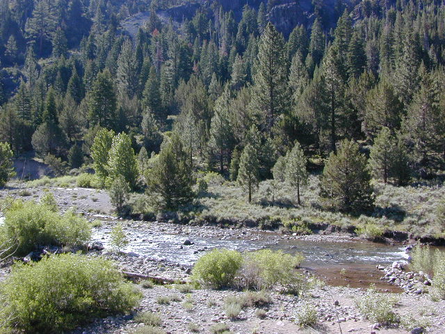
Carson River
Carson River CA SR 4

Centerville Flat Campground
Alpine Co.

@ California State Route 4 (Hwy 4 east Ebbetts Pass). Silver Creek meets the east fork of Carson River in the majestic Eastern Sierra, W of US Hwy 395.

Humboldt-Toiyabe National Forest
Centerville Flat Dispersed Campground NFS
Open all year, no fee, vault toilet
Latitude : 38.631372
Longitude : -119.723082

Historic Centerville wiki

driftwood

Centerville Beach
Humboldt Co.

Centerville Beach County Park

4000 Centerville Road
Ferndale, CA
Contact: 707-445-7651

North Coast California,  Humboldt County – This long steep coastline was the place of a historic event in 1860s, a ship wreck off the coast. In heavy seas, the ship beached 20 miles below the mouth of Humboldt Bay, near the village of Centerville. https://en.wikipedia.org/wiki/Centerville_Beach_Cross
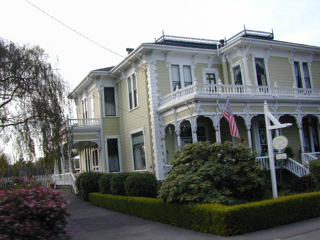
ferndaletourism
Ferndale has tourism.

Northern Cal

Ferndale, CA – has dining, accommodations, local business, and maybe an RV park. Mostly residential. Rural farmlands, forests, and remote. Wild, windy, rugged coastline.
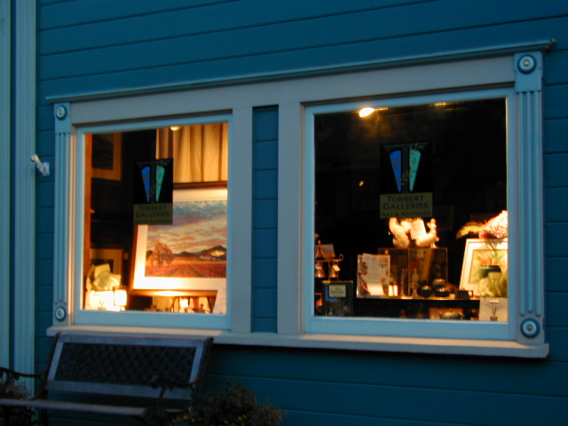
Shops in downtown Ferndale, CA

driftwood

Centerville, CA
Butte Co.

In between Chico and the volcanic ridge (called Paradise), is the historic Centerville Road, which leads to oak lined canyon of the small community of Centerville. Mostly rural residential w/ a museum, schoolhouse, creek, covered bridge, maybe a winery, orchards and a oak canyon.

CAMPFIRE, Butte County – This particular area has been scared by the wildfires of 2018, so expect some back roads to be closed. Landslides and tree falls are quite common after a wildfire, especially on narrow mountain roads. Nearby Paradise got destroyed, but they are rebuilding. rebuildparadise.org
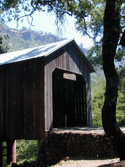
Honey Run Bridge

BELOVED BRIDGE

Located along Honey Run Road. Chico’s historic Honey Run bridge, was built in 1887, reconstructed in the late 60’s,  and recently destroyed by wildfire in late 2018. Honey Run Road intersects w/ Centerville Road further up the canyon.

2020: Reconstruction on a new bridge is already underway.
Honey Run Covered Bridge Association

driftwood

Centerville Road
Modoc County Rd #54

Southwest Alturas, CA

A major backroad (paved connector) in Modoc; connecting South Alturas @ US 395 to Canby @ Highway 299

a whole lotta nuthin’

Rural residential w/ farmlands and cattle grazing. California Pines (POA), Donovan Reservoir and the Pit River is along this route called Centerville. Portions of zoom on GoogleMaps has this Centerville Road listed as N West Street

dirtbikes

Modoc National Wildlife Refuge is @ US Highway 395
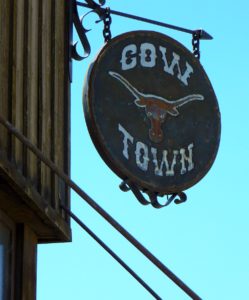
cowtown
Alturas, northeast California – is cattle country.


driftwood

100103 - San Joaquin Valley - Sanger/Reedley area

Centerville, CA
Fresno Co

Rural, residential farm community along Highway 180
E of Fresno, CA

W of Sequoia & Kings Canyon National Park
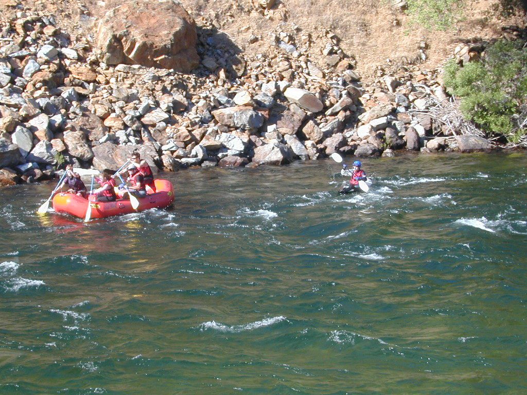
Kings Red Rafters
Kings River – Red Rafters + Kayaker

canoe

hiker


California Elevations

conradkid
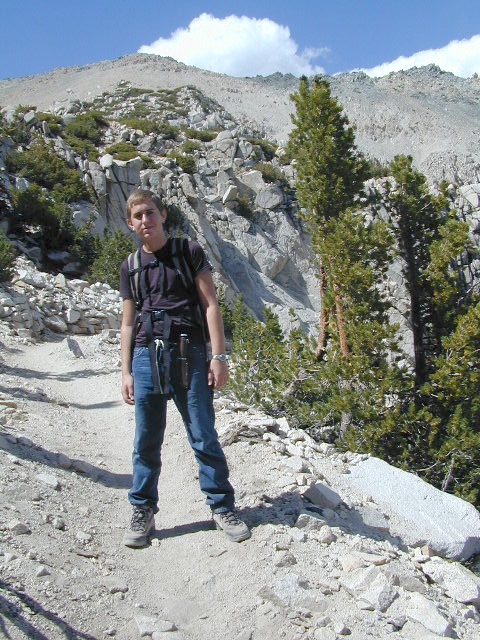
High Sierra hiking @ 12,000 feet above sea level

elevation

high altitude towns    well above sea level

The majority of California cities are located near sea level, with low lying farmlands and populated coastlines common throughout world geography. California has super diversity w/ the population, as well as the elevation and the terrain. Vast rugged deserts bordering Nevada, from high deserts (8000′ @ Bodie ghost town) to low deserts (below sea level for Mecca) near the Salton Sea. Towering granite peaks with minimal vegetation, to fern canyons and redwood groves at the coast, California has quite the unique landscape.

The beautiful golden state is also home to the highest and lowest point within the lower 48 states; and those points are only about 100 miles apart – Death Valley  (-282′ elev) and  Mount Whitney  (14,494′ elev).

I-80 Donner PassMTN TOWN: upper elevation mountain towns w/ forests and flowing water, are primarily located in the Sierra Nevada range which runs the backbone of California in a north-south direction,  separating the Pacific Ocean from the Great Basin. High altitudes are abundant in California, especially in the Eastern Sierra – but most are only accessible by foot.

Mountain communities in Southern California includes places like Mount Laguna, Palomar, Big Bear, Arrowhead, Idyllwild and Mount Pinos.

The coastal mountain range and the Sierra Nevada  encompasses most of Central California. The rest of the space is dedicated to large cities, farmlands and farming towns – which are most lower elevation. Orchards and vineyards can be found in the foothills (200′-2000′ elevation)

Northern California has more mountains and rivers, generally higher elevations and plenty more space to explore. Secluded forests, rivers, creeks, lakes, and reservoirs can be found above 2000′ elevation, north of Sacramento. The bigger mountains in the far north part of the state are part of the Cacade Range, which is volcanic in nature. (Mt. Lassen & Mt. Shasta). More water, more trees and more land – NorCal is very different than the lower half of the golden state.

hwy33overlook
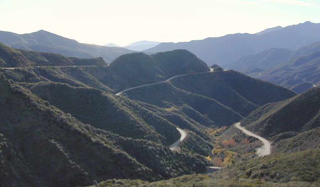
North of Ojai, CA – Highway 33 winds up to Los Padres NF

California Elevation Breakdown

  • Alpine lakes, streams, forests, mountain peaks, granite scenery is abundant above 6000′ elev.
  • Pine forests, junipers, sage chaparral, manzanita, joshua trees can be found between 3000-6000′
  • Hot Springs, creek canyons and cottonwoods are usually discovered above 2000′ elev.
  • Oak hills, ghost pines, creek beds, river canyons  and most agriculture range from 1000-3000′
  • Under 1000′ elevation is the majority of the populated cities and towns within California; coastline, urban areas, foothills, farmland and a few reservoirs
Mecca Hills
Mecca Hills, below sea level

GoogleMaps – groundbreaking tool for trip planning and checking out trailheads, camps and dirt roads from overhead

USGS Viewer – topographic overlays for altitude estimates, and various imagery

California Elevations Map

shaverMS

snowflakeSnow is always a factor in mid to high altitude towns with road conditions being unpredictable with each mountain range and each micro-climate. Winter months range from late October to May, so be warned. Above 3000′ elevation usually gets some snow. Serious snow above 5000′. Some High Sierra Passesdon’t open until JULY (Yosemite Hwy 120 & Sonora Hwy 108). Carry tire chains or have 4×4 to travel safely on snowy roads. Guard rails are seldom around every curve.
list of California towns
by elevation


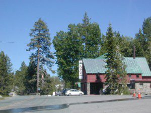
Rainbow Lodge California

bishopbelow
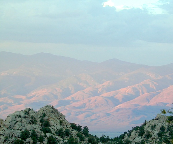
Above Owens Valley (US 395) at sunset, as seen from the Sierra side (8000′ elev)

California College Towns

Uni in Cali

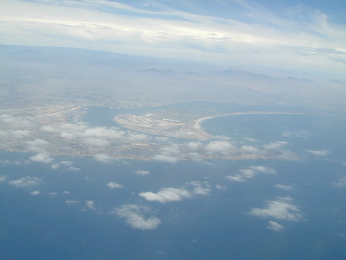
San Diego Skies & Bay

came to California for college and never left
Some folks would argue that education through life experiences can be just as rewarding as following the traditional path of private schools or state education. The internet is fast replacing the need for formal education, as many entrepreneurs never graduate from college and still go on to become huge successes.

Going to university or college in California is a common path for many students, which is why there are mostly transplants living on the west coast. Many start at community colleges and transfer to a 4 year college.

California is the largest state in the union, as well as the most prosperous. California has the one of the largest economy in the world!

Below is a list of California cities and towns with a big student population. Some of these places have more than one college or university in town. IN and around town you will find abundant apartment living, cafes, coffee shops, mexican food, laundromats, bike paths, parks and public bus service.

Chico Bench Art

The New York Fed’s second quarter numbers are out for 2016 and it doesn’t paint a pretty picture for student loan debt. Officially, the nation owes $1.26 trillion in student loan debt. Realistically, we are probably over the $1.3 trillion mark when taking into account the fact that the Fall semester has just started…

Deep Springs CollegeBishop, CA

Heartwood InstituteGarberville, CA

University of Earth
Quincy, CA