Kern River Trails & Kernville Hiking
Sequoia National Forest Trails
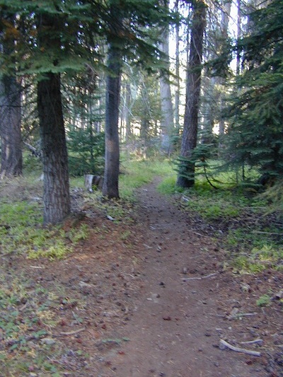
Hundreds of trails meandering throughout this forest. Granite domes to huge Sequoia trees. Most secluded areas are found in the Eastern Section in the Dome Land Wilderness.
Dome Land Wilderness
Golden Trout Wilderness
South Sierra Wilderness
Sequoia Hiking Maps, Wilderness Maps, OHV Maps
Sequoia National Forest Hiking
- Bald Mountain Fire Lookout (2 mi RT)- Sherman Pass Rd #22S05 – views of Southern Sierra & Domeland.
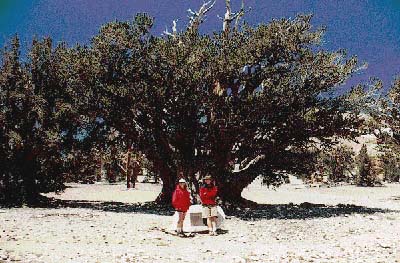
- Big Meadow Sequoia @ Sherman Pass
- Cannell Meadow Hike – N Kernville; Cannell Creek in early Spring
- Long Valley Campground & River Hike – Kern Plateau
- Lamont Pinnacles, near Chimney Creek Campground
- Forks of the Kern – Kern River Gorge of granite; all day exploring & hiking
- Remington Hot Springs (2 mi RT) – tubs on the river edge; trailheads; fish, bike, off Old Kern Canyon Rd
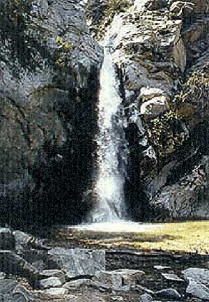
- Salmon Creek Falls – N Kernville; on Kern Sierra Hwy
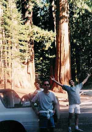
- Trail of 100 Giants (1 mi RT) – Southernmost Sequoia Grove; Western Divide Hwy; family hike
- The Needles Lookout (4 mi RT) – Western Divide Hwy; easy half day hike. see rock climbing

the lush Lower Kern River on a misty Spring day
Upper Kern Hiking
Lower Kern River Hikes
![]()
Sequoia National Forest & the Lower Sierra Nevada Mountains extend from the Tehachapi ranges to the Kings River Canyon; from the Great Central Valley to the Mojave desert.
Kern River Valley communities include:
Sequoia Mountain communities include: