Tag Archives: travelers

Camping for Thanksgiving

Turkey Casserole
Turkey Leftovers?

California Camping on Thanksgiving

If you’ve had it with the traditions, the big meal prep, or just sick of the family. Maybe you are a solo traveler, or a new transplant to California and need to explore more. Take a holiday away – for once this time.

Camping for turkey day? What a concept.
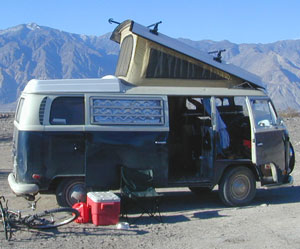
VWBus Death Valley
California is the perfect place for camping, all year long!


Stick to the lower elevations, look for canyons, and seek seclusion

California mountains often have snow during November. Avoid camping in snow @ 4000-5000′ elevation and above; Freezing temps above 3000-4000′ elevation.

Deserts, coastal regions and foothills are top choices for late Autumn car camping. Always check the weather ahead of departure, and have a plan B as an alternative. NorCal will be much wetter than the rest of the state.

MEALS: Prepare dinner meals ahead of trip departure. Bake turkey days before your trip and create meals based around that. Make mash potatoes at home and don’t forget to bring the butter. Pack pre-baked turkey for sandwiches, plus other quick snacks & meals for on-the-go travel.
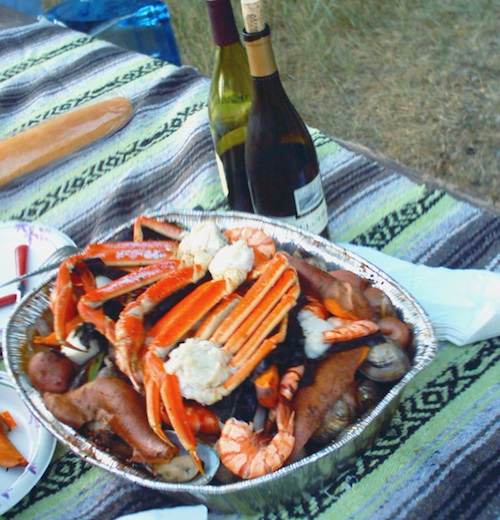
seafood
Non Traditional: Seafood Feast

Desert Camping is premium at this time of year. Luckily the eastern half of Southern Cal is desert. The lower the elevation, the better the temps will be overnight. Be prepared for wind when the ‘storm fronts’ approach, the winds do get a cranking! Dirt roads can become flowing washes during a good rainstorm, so know the weather forecast.

Coastal campgrounds may need advanced reservations. Be prepared for wet weather, especially up north. The redwoods groves are gorgeous anytime of year.

Gold County Reservoirs are prime areas for relaxing in nature, while everyone else is out shopping. Oak hills, rivers and canyons. RV campers love these large lakes; boating, fishing, mountain biking trails, kayak rentals, hiking near historic Gold Rush towns.

River Canyons of California are always beautiful destinations in the autumn months with fall leaves changing color. Many campgrounds can be found at lower elevation, river access areas.

California’s abundant Hot Springs are also top picks for holiday weekends.
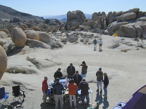
Joshua Tree Campout

Joshua Tree National Park may be busy during this weekend. Instead try nearby Mecca: Box Canyon and Mecca Hills Wilderness, BLM desert lands near Interstate 10.

Anza Borrego Desert State Park is always a nice, easy and relatively close get-away for any holiday. Open camping on the backroads (for free) makes it one of the most attractive camping options in all of SoCal. Many dirt roads are accessible for passenger cars, if extreme caution is used. Don’t plan on driving more than a few miles on dirt.

froaders

Masses of off roaders love to camp out, especially on Thanksgiving weekend. Wheel all day, eat, drink, bon fires every night and rumor has it ‘they roast their big bird outdoors – deep in a dirt pit’. Really?

El Centro, Glamis, Imperial Dunes, Ocotillo Wells, Truckhaven Hills, Johnson Valley. All popular off roading areas in Southern California, so consider yourself warned.
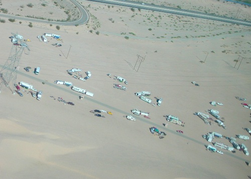
Imperial Dunes

Mojave Desert, near US Hwy 395
Jawbone Canyon expect to see RVs, toy-boxes and families outside enjoying the weekend. OHV style. Often the group tries to create a round corral with their huge convoy of vehicles, to keep thru traffic to a minimum around “their camp”. Just stay well away from those gear-heads. In general, it is a very busy area around Mojave up to Hwy 178 during the holidays. Try high desert Horse Canyon instead.
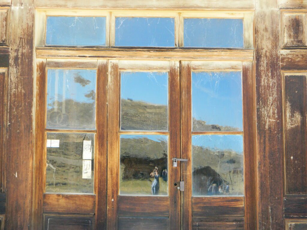
Bodie State Park
Bodie State Park

Tent Camping

Death Valley National Park is one of the best destinations for Thanksgiving, cuz Panamint Springs serves their free turkey dinner.

Did someone say FREE?

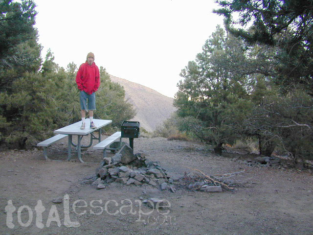
Leon at Mahogany

Mojave Road Map

Mojave Road Trail

The Mojave Road

Mojave Desert Back Roads

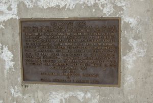
The historic Mojave Road spans the high desert region of east California – crossing the Colorado River westward to roughly Los Angeles. Now a network of dirt and paved routes follow the original overland trade route. Click the plaque photo below to read more.

The Mojave Road

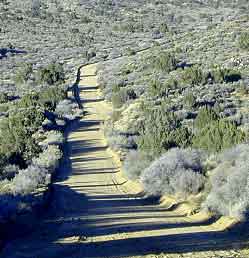
The rugged, dirt road cuts right through the middle of the Mojave National Preserve. Mid Hills, Kelso Depot, Cima.

mojave topo maps

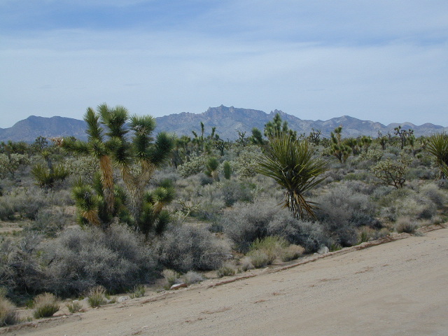
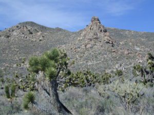
Joshua Trees, mountains, boulders, sand dunes, railroad history. The high desert is abundant with wildlife, plant life, lava tubes, caverns, camping, and dirt roads. Plus wild windy weather.

Mojave Loop

MOJAVE PARK
Located on the way to Vegas, NV – or the Grand Canyon in Arizona. Mojave NP is in the triangle space in between Interstate 15 and Interstate 40, on the eastern side of southern California. Freeway close, free camping in the Mojave does indeed exist, if you know where to look.

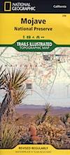
Mojave Map by Trails Illustrated NatGeo 

NatGeo Map Mojave California

National Geographic acquired Trails Illustrated Maps more than a dozen years ago. Ever since these plastic topo maps have gone 2 sided, full-color w/ more details featured than ever before. Updated regularly. Waterproof plastic, perfect for outdoor desert travels.

Mitchell Cavern, called Providence Mountains SRA, has camping, but it is situated up on an exposed bluff overlooking the freeway. Location gets windy as hell. Better campground is at Hole in the Wall, or even better, Mid Hills Camp.

Mojave Peaks

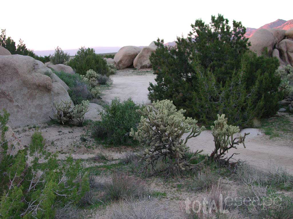
Primitive, free camping can be found off of Kelbaker Road, but be warned: dirt roads can get deeply rutted and impassible during extreme wet weather. 4WD may be required sometimes.

  • CAMPGROUND CAMPING
  • FREE CAMPING
  • GROUP CAMPING
  • HIKING TRAILS
  • HISTORIC MONUMENTS
  • HORSE CAMPING
  • HORSEBACK TRAILS
  • JOSHUA TREES
  • LAVA TUBES
  • MINING HISTORY
  • MOUNTAIN BIKE TRAILS
  • OFF ROAD CAMPING
  • RAILROAD HISTORY
  • RANCHES
  • RV CAMPING
  • SAND DUNES
  • VOLCANIC TERRAIN

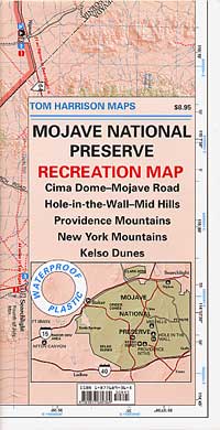
Mojave Desert Map by Tom Harrison

Mojave Road Map

One of the first readily available topographic style maps of the Mojave desert. Waterproof plastic, Tom Harrison brand maps are perfect for any type of backcountry travel, on foot, on horse, or off-road.

Campsites

AAA & NPS: one-page freebie; excellent overview map created by the Automobile Association of Southern California w/ the National Park Service. Handed out at Visitors Center and ranger stations (1990s)

BLM Maps of Mojave: OHV (off highway vehicle) maps can be found at the local Bureau of Land Management ranger stations:

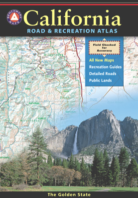
Benchmark California Atlas

California Atlas
Best map for statewide coverage!

This premium full state atlas has the whole, massive Mojave desert covered, which extends north into Death Valley National Park and south to Joshua Tree National Park.

Mojave Desert Books


California Romantic Resorts

Ahwahnee Yosemite Valley
The Ahwahnee, Yosemite Valley

Favorite romantic places in California. Stay overnight, have dinner nearby & make a night of it, or perhaps a whole weekend. Certain places may require a 2-night minimum stay, especially on weekends or any holiday weeks. A wide variety of destinations are listed below, from rustic mountain cabins, to palm oasis hot springs, to historic lodges located in a spectacular scenic setting.

Neighboring lodges or nearby small towns could have equally as nice accommodations, perhaps still affordable, quaint, uncrowded, and “undiscovered” by the masses. Call the innkeeper and ask questions. They should be thrilled to hear from you.

SnowMo CaliforniaWINTER NOTE: Some of these remote locations may not be open year-round, due to snowy weather, so please confirm by phone before you make the drive. Tioga Pass Resort may require a snow-mobile to access.

romantic holiday vacations

mid-winter escapes

valentine romance ideas

California Romance (starts here)

desert California

Hotel Del Coronado near San Diego

Julian Historic Hotel, Julian CA

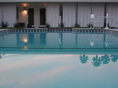
Beachcomber Motel, San Clemente, CA

Benton Hot Springs, N of Bishop, CA

Blue Lantern Inn in Dana Point Marina

Cambria, on Moonstone Beach, Central Coast

Camp Nelson Lodge, Giant Sequoia NM

Carmel-by-the-Sea, Monterey Bay California

Downieville River Inn, N Yuba River, Downieville CA

Furnace Creek Inn, historic Death Valley NP

La Fonda Hotel, Baja California

Laguna Beach – all of it, pretty much

Lantern Inn, hiking trails, Paradise, California

Lido Palms Resort Spa, Desert Hot Springs, CA

Lucia Lodge, Cottages on cliffs, North Big Sur

cottages miranda

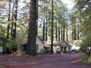
Miranda Gardens, Redwood Cottages, NorCal

Panamint Springs Resort, Death Valley, CA

Rainbow Lodge, granite/river near Donner Pass

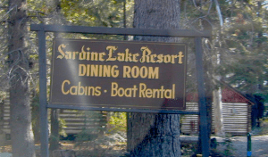
Sardine Lake Resort & Cabins, North Sierra

Tioga Pass Resort, Eastside Yosemite

Treebones Resort, Yurt Camping in Big Sur

Wine Country Towns $$$ – Napa Co / Sonoma Co

sardineresort

see also –

California Lighthouses

Lodge Resorts

NFS Rental Cabins & Fire Lookouts

Redwood Hotels

This new California Lodge List will grow as DanaMite finds more ideal places, deep in wilds of California.

Sierra Nevada Lakes

Fort Churchill Camping

Desert camping south of Reno? Well there ain’t much to choose from out here. Walker Lake near Hamilton, NV looked dismal, so keep driving northbound and hope for the best.

Maybe one of the canyons near the reservation has a level pull out along the highway. Just far enough off the main road to hear the midnight traffic, just barely.

Fort Churchill, Nevada

churchill terrain

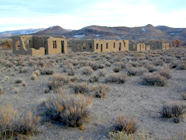
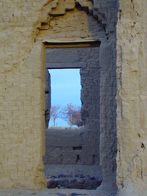
Fort Churchill was one of the original US Army forts built to help with the flood of overland pioneers making their way to California. Adobe structures in ruin, plus the sagebrush wetlands and cottonwoods along the river make for ideal scenery. A Pony Express route too!

Shall we call it the first of the California Welcome Centers?
Or an invasion of the “wildness” of the Sierra Nevada, and the West Coast.

From the year 1800 on – trappers, hunters, miners, ranchers, prospectors, surveyors, homesteaders – and basically everyone was headed westward, across the continent. The secrets of the golden state were unfolding worldwide. After gold & silver were discovered in the hills, the real rush to Alta California began.

California [population boom] history

Nevada California border

US Highway 95A

ALT95 – The Yerrington Cutoff

Ideal “in route camping” if traveling near Reno, south of Interstate 80. You gotta be off on the side route through Yerrington, Nevada to reach this convenient road side campground. Big trucks stick to the main highway, but this rural 2-laner cuts thru residential, reservations, and ranch lands. Rural backroads are abundant and most are private property.

Fort Churchill State Historic Park
Ranger Office
10000 Highway 95A
Silver Springs, NV 89429
775-577-2345

Nevada Desert Camping

OPEN ALL YEAR LONG

Driving on rural Nevada Highway 95A you can find the park headquarters and fort on the west side of the road. The camping is on the opposite (east) side of the highway, down an embankment, near the Carson River. A very small brown sign with the word CAMPING (reflects at night) and you may see it – if you aren’t driving 70 mph.

DESERT CAR CAMPING – VEGAS TO RENO

In Route Camp

Perfect refuge for weary travelers, along the long, lonely, desert highways of Nevada. RV campers will like the wide dirt road w/ some level spots, accommodating the largest of motorhomes w/ dump station nearby. Trucks w/ trailers are often seen sleeping along the roadside at this location. Equestrian river access w/ horse trailers too.

Cottonwoods in some of the lower spots, but mostly sage brush, rabbits and open skies. This is the Carson River Basin, so dirt roads w/ mud and potholes are common. No street light near here. In the dark, the primitive roads are manageable, but the signs are minimal.

elevation 4250′
SNOW is minimal in WINTER months (DEC-MARCH)

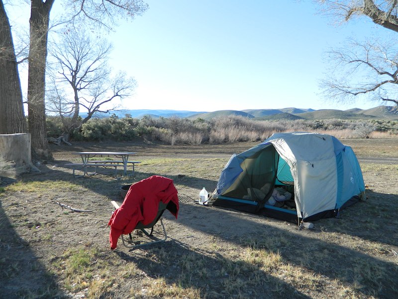
Desperate tent campers (willing to drive dirt for a bit) can find the “scout camp”. Most nights are filled with the cries of the coyotes in the distance. Park rangers patrol in the morning to collect camp fees. Or you can find the park headquarters, across the highway.

fortchurchill

NO CAMP RESERVATIONS
Primitive campground has 20 sites suitable for travel trailers, motor homes or tents. Campsites include a table and fire ring, w/ camping limit of 14 days. Group camping is also available.

churchillruins