Death Valley Backpacking
- permits are required for overnight backcountry camping
- check with the correct ranger district for all back country camping restrictions
Trail head parking spots located at:
| camp |
sites |
elev. |
veg |
toilet |
water |
contact |
fee |
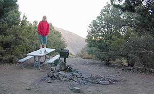
| Wildrose |
30 |
4100 |
brush |
pit |
piped |
Death Valley NP
760/786-2331 |
$ 0 |
|
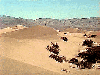
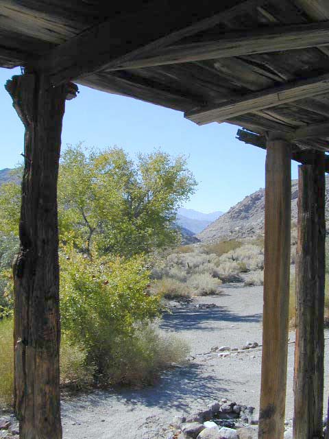
[Steep rugged canyon in backcountry, good base camp]
Hwy.190, Emigrant Canyon Rd. to Wildrose Rd. follow to the campground. |


Death Valley Campgrounds
These sites are among the smallest & most remote in the area. The campgrounds located closest to highways usually fill up fast & can attract all types of campers. For the seclusion, head a few miles off the main roads & enjoy the silence. Panamint Springs Resort is a great place to spend the night too.
| campground |
elev. |
spots
|
veg |
toilet |
water |
|
| Emigrant Campground |
2100' |
10 |
bushes |
flush |
piped |
open May - Oct |
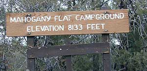
| Mahogany Flat Campground |
8200' |
10 |
pinyon |
pit |
no |
dirt road, closed in snow |
| Thorndike Campground |
7500' |
8 |
pinyon |
pit |
no |
dirt road, closed in snow |
| Wildrose Campground |
4100' |
30 |
sage |
pit |
piped |
open year round, water seasonal |


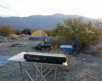
Primitive Camping
Back roads camping is allowed outside of designated campgrounds, in certain areas. 4 wheel drive and /or high clearance vehicle may be needed on dirt roads. Road conditions can change year by year, so be prepared for alternate routes.
Backpackers and vehicle campers should obtain a backcountry permit. Some areas that border the National Park are private lands, so pay attention to signage. Panamint Valley, just next door had excellent dispersed camping all along the dirt back roads. Be careful when traveling on dirt backroads. Some may only be suited for high clearance vehicles.
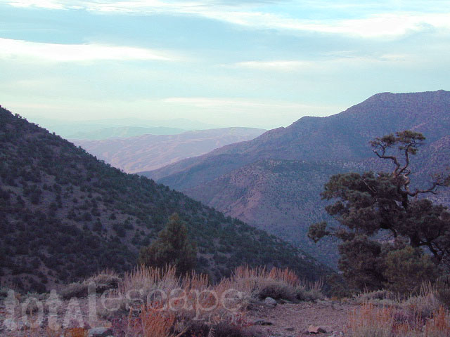
Wildrose Canyon Rd, provides some higher elevation camping & cooler temps at small campgrounds. Wild Rose & Mahogany Flat

Death Valley Cool Sites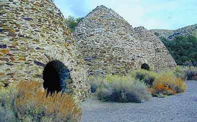
Wildrose Canyon area - go sing a song inside the amazing Charcoal Kilns; you won't believe how cool you sound!!
Goler Wash from the westside's Panamint Valley, near Ballarat ghost town, leads up to the infamous 'Manson Hideout' or Barker Ranch, up & over the Mengel Pass at 4326' elevation & then back down to Death Valley via Warm Springs Canyon.
Panamint Springs Resort is a worth a stop for a stretch break, gasoline, a sit down meal, an RV camp site or perhaps a drink at the bar?


Death Valley Hiking
BE ALERT:
Triple digits heat. Hiking at ANY elevation during the hot summer is not recommended! Many have died out here in these dry deserts, hence the name Valley of DEATH.
Telescope Peak via ..... Mahogany Flat Campground > > > >
- 14 mi RT
- Strenuous
- Elevation gain of 3000'
- Trailhead at Campground = 8000'
- Topo = Telescope Peak (7.5 minute)
Only Telescope Peak & Wildrose Peak have maintained hiking trails. These are the only hikes recommended in summer due to the extreme heat at lower elevations.
Panamint City up from Panamint Valley, is currently closed to 4WD traffic. It is a nice overnight backpacking destination. Gone are the days when Jeeps would wench their way up the creek.
These trails listed below are suggested overnight hikes & are cross-country routes. Mileages can be deceiving, so allow plenty of time for these trips. Purchase topographic maps for real adventures!! Many roads are graded & accessible by passenger cars.
Indian Pass
- 16 mi RT
- Moderately strenuous
- Elevation gain of 3000'
- Springs & bighorn sheep may be seen in the 4 mi stretch of canyon.
- No camping at springs
- Topo = Nevares Peak (7.5 minute)