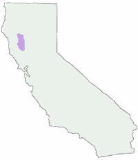
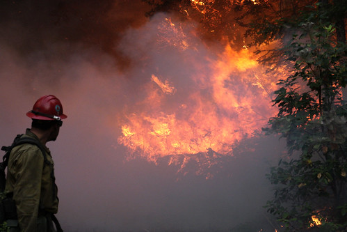
Mendocino NF has been hit hard by recent wildfires; More so than any other forest in California. Between the Ranch Fire 2018 and August Complex Fire 2020, 98% of the forest's land base burned, so it will be a challenge to avoid a burned area. Many campgrounds, dirt back roads and trails are CLOSED to the public.
Minimal pavement and plenty forest. Creeks and rivers run throughout this NorCal landscape. Oak hills to alpine peaks, meadows, and a trail system like no other National Forest. Mendocino has seclusion, if you wanna look for it. Horsepackers will enjoy Middle Eel Wilderness. Kayakers can play on Lake Pillsbury. Off roaders can enjoy an extensive network of OHV trails, single track to graded roads. Abundant 4x4 camping. RVers wishing to camp near wine country, backpackers from San Francisco, or local fishermen will all appreciate what Mendocino Forest has to offer.
Mendocino Ranger Stations:
Mendocino Forest Headquarters
Grindstone District
Willows CA
530-934-3316
Upper Lake District
10025 Elk Mountain Road
Upper Lake, CA 95485
707-275-2361
Covelo District
78150 Covelo Road
Covelo, CA 95428
707-983-6118
Most campground and trailheads accessible June - October. Winter months expect road closures w/ rain, mud and snow.
Always check current road and trail conditions with NFS
Outside of the areas 40 developed campgrounds, open dispersed camping is allowed throughout the National Forest in Mendocino. Hundreds of miles of dirt roads lead to streamside camp sites & pristine forests - all awaiting your visit. Howard Lake and Indian Valley Reservoir both have a few primitive camps. A Mendocino Map is highly recommended for finding your way thru these remote back roads, to these prime prime camp sites. There is a 21 day limit for staying in one camp spot. Just rememeber with primitive camping you will need your free fire permit, shovel & water bucket.
Mendocino has several small, secluded campgrounds tucked way back there to make it easy access for those wishing avoid a large campground. There are numerous OHV trails & camps, so steer clear of these if you seek peace & quiet.
Hull Mountain, descend to Gravelly Valley Airstrip.
Elk Mountain, descend to Middle Creek Campground.
Tool Cache Ridge (SW of Elk Creek) at Ponderosa Point, descend to Diamond M landing strip. (private land, pilots must obtain permission from landowner).


 Backpacking Mendocino
 Mendocino Campgrounds
 Primitive Camping Mendocino
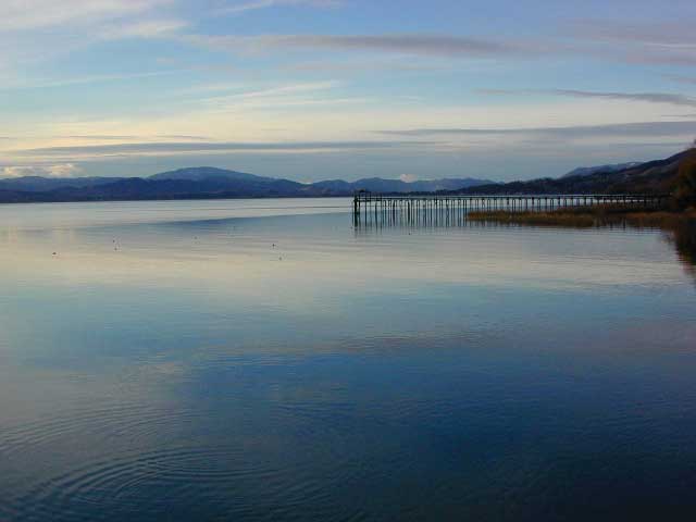
 Mendocino Lakes

 Mendocino Rivers & Creeks
 Mendo OHV: Off Road Trails & Camps

