|
 Approx.
12 mi. from the trailhead at Big Sur Station (on the land of Pieffer Big Sur State Park) Approx.
12 mi. from the trailhead at Big Sur Station (on the land of Pieffer Big Sur State Park)
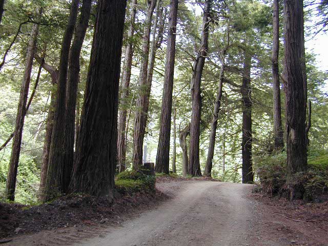
Not usually considered a day hike. The Pine Ridge Trail gets
more foot traffic than any other trail in the Los
Padres National Forest. It is a popular take off point for
many longer treks throughout the Ventana Wilderness and the northern
end of the forest.
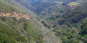
Sykes is can be crowded during the summer and on holidays.
Best time is after a couple of big storms in the winter. After
the rain, it is not a mud bath then - and you'll have it all
to yourself. You will need a wilderness permit to be in this
area; As always check to see if open fires are permissible at
the back country camps you will be visiting. Wild fire danger
is great in this wilderness landscape.
maps of big sur
NatGeo Big Sur Map #814
USDA Los Padres North Map
Wilderness Press Big Sur Map
Ventana Wilderness Map
|
 Nearby Lodging in Big Sur Nearby Lodging in Big Sur
 Backpacking Backpacking
 Wilderness Camping Only Wilderness Camping Only
 Los Padres NF Los Padres NF
View Larger Map
|