Advertisement
Home
| Activities | Water
Destinations | Mountains
| Sierra
National Forest | California
Lake List
reservoir.courtright
|
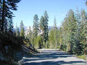
High elevation without the climb. Courtright Way, a paved back road will lead you up, passing Lake Wishon, to this spectacular end of the road lake. But be warned, way out in these back woods - it's a full day driving trip from Shaver Lake w/ sightseeing stops and lunch. LaConte Viewpoint is a must.
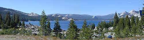
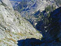
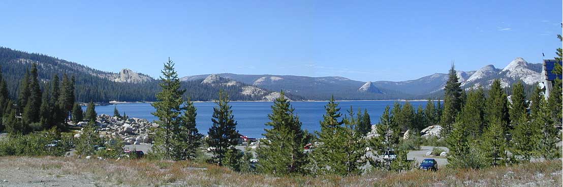
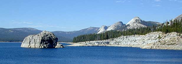
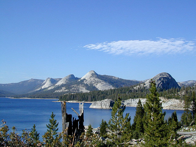
Your jaw will drop when you see how much granite is at this spectacular place. Almost as impresive as Yosemite, seriously. In a land  of glaciated domes & alpine Sierra bliss, you wonder how they could actually want to flood such a gorgeous valley with water. Making California's growth happen, water authorities engineered most of these waterways in the 1950s for hydro electric power. Courtright Lake is located inside Sierra National Forest of glaciated domes & alpine Sierra bliss, you wonder how they could actually want to flood such a gorgeous valley with water. Making California's growth happen, water authorities engineered most of these waterways in the 1950s for hydro electric power. Courtright Lake is located inside Sierra National Forest
By far the state's most gorgeous reservoir, this place is far from any town, any Interstates & hard to reach, but well worth a few days visit once you do.
       

|
Snowmobiling the Sierras
|
| elevation: 8170' |
lake info: (559) 297-0706 |

Imagine Yosemite National Park without the tourist crowds &
oh yeah, filled with water.
|
 Mountains Mountains
-
- terrain: High
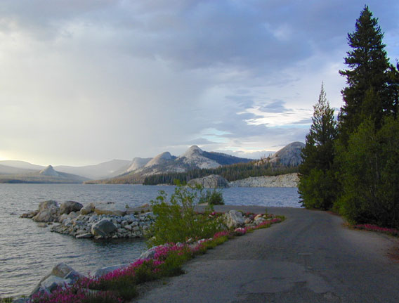
Sierrra Granite Reservoir with pines trees.
location:
Central Sierra California
Fresno County
east of Hwy.168, 30 miles or so,
via Dinkey Creek Rd #40
|
|

description:
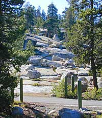
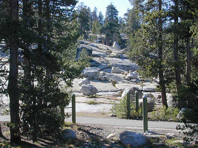
Large Reservoir with massive granite rock & domes surrounding it. Pine trees & high elevations, plus very little crowds. Only 2 PG&E campgrounds at this lake. Overnight camping fees. First come. first serve; No reservations. Lots of boat ramps, fishing, great day hikes, wilderness trails, wildflowers, waterfalls and dark night skies.
Deep snow buries this high altitude location for more than half the year. Summers can still have snow. Make sure roads are indeed "open" before departing on this journey.
Backpackers ultimate trailhead location in the granite, high elevations at 9000' trailhead; plenty jump off points & imagine all this right next to 3 prime Sierra, high country destinations -
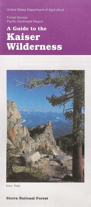
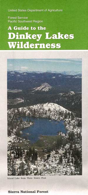
Dinkey Lakes Wilderness
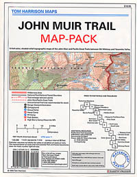
John Muir Wilderness
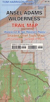
Ansel Adams Wilderness
|

|
|
Maxson Trailhead
Maxson Sierra Trailhead parking also has plenty of space nearby for primitive camping for backpacking into the Ansel Adams, Dinkey Lakes & John Muir Wilderness
|
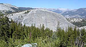
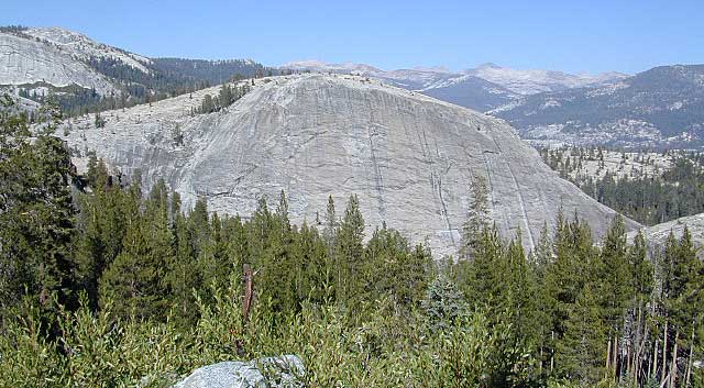
Even the entrance road & views will have you floored! This large chunk named Lost Peak, or known as 'Power Dome' by the rock climber types, is comparable to Yosemite's El Capitan (the biggest chunk of granite this side of the Mississippi).
- nearby towns:
- Fresno
- Lakeshore
- Pine Flat CA
- Shaver Lake
|
|
View Larger Map


