Journey | Gear | Maps | Software | Forests
nfs.maps
|
|
USDA Maps
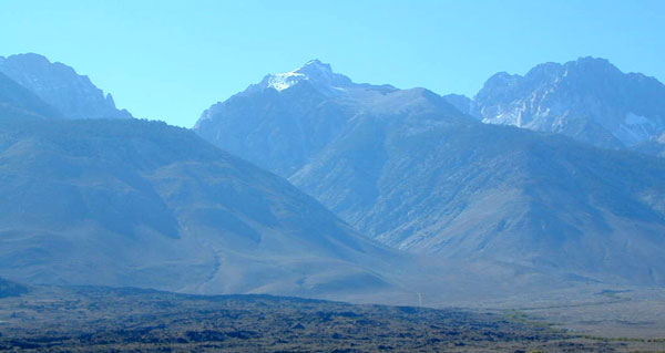
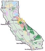
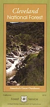
California National Forest Maps
You
can drive around all over town looking for that particular map, anticipating that the stores will have it in stock;
Or you can get off of work early, to make it up to ranger station before they close @ 4pm (M-F)
Or you can just order on line w/ Total Escape
|
|
map details for ---
|
 |
 |
|
Find California Campgrounds Online
|
 |
|
|
|
|
California Wilderness Maps:
Perfect for backpackers and horse packs - these maps are more detailed than traditional USFS maps. Topographic features and contour lines on elevations. Every trailhead & details of trails, terrain & tips. GPS data. Most maps now available in waterproof plastic.
California Topographic Wilderness Maps by Tom Harrison, National Geographic and USDA National Forest Service