Cali Maps
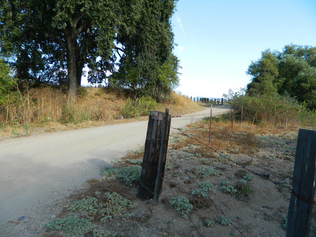
Below are customized Google Maps from DanaMite’s collection. Points of interest markers link to small towns, forests, lakes, trails, roads, parks, campsites and viewpoints. Zoom in close, down to the back roads to discover free camping options, self guided walking tours or special attractions of the region.![]()
(UPDATED 2021)
California Regional Maps –
- MAP: Sierra Nevada Mountains
- MAP: Gold Country California
- MAP: North Coast California
- MAP: Shasta Trinity Cascades
- MAP: San Francisco Bay Area
- MAP: Central Coast California
- MAP: Central Valley California
- MAP: California Deserts
- MAP: Inland Empire California
- MAP: Los Angeles California
- MAP: Orange County Cali
- MAP: San Diego California
Custom California Reference Maps –
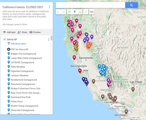
- CLOSED Forests in California (2021)
- California Lakes with Water (2015)
- Lakes Basin Recreation Area
- California Wells Drying Up (2014)
- North Sierra Roads – No snow plow
- Most Polluted Cities in Calif (2021)
- Autumn Aspen Campsites
- California Snow Map (2019)