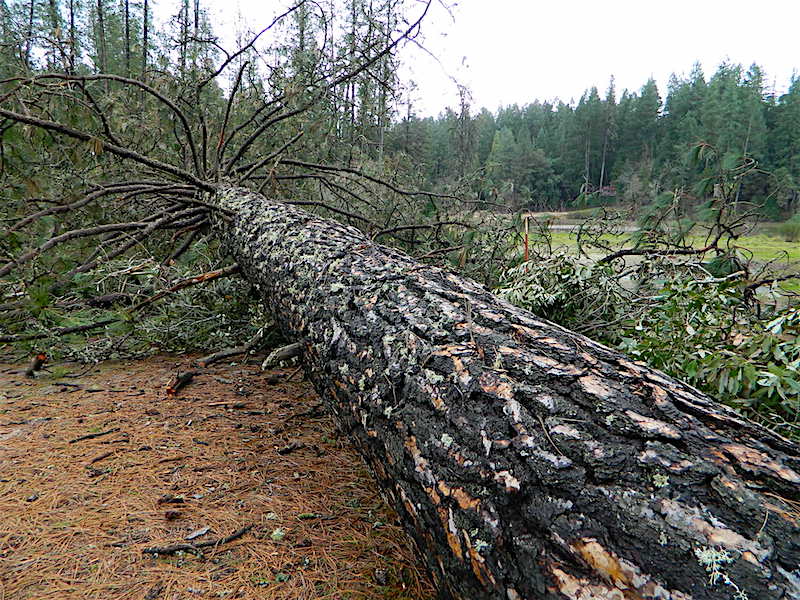
From atmospheric rivers to record heatwaves, droughts to snowstorms, California experiences some wild weather throughout the year. Record breaking rainfall, dramatic wind events, and huge wildfires have shattered the average norms. Giant Sequoia trees were uprooted in Yosemite due to wind, and closed the National Park in 2021.
California Road & Weather Links
National Weather Forecasters
(no ads/advertisements)
National Weather Service
weather.gov
NWS Radar Map
radar.weather.gov
NOAA – National Oceanic & Atmospheric Administration
NWS Western Regional Headquarters
wrh.noaa.gov 
Commercial Weather Forecasters
AccuWeather
accuweather.com![]()
Dark Sky (by Apple, no ads)
darksky.net![]()
El Dorado Weather (best low resolution weather source)
eldoradoweather.com![]()
The Weather Channel (by IBM, original television channel)
weather.com
Weather Underground
wunderground.com
![]()

California Wind Storms
California Wind Events
A RED FLAG warning means damaging strong wind is predicted and can usually last for days.
High profile vehicles, such as RVs and big rigs, are advised not to travel. Services may be disrupted, including but not limited to gasoline stations, stop lights, phone systems, air travel w/ airplanes & helicopters.
PSPS – Public Safety Power Shutoffs
Utility companies may shut off electricity prior to and during wind storms – to prevent power lines starting wildfires. Having a backup power source (generator), extra food, batteries for flashlights and a hand crank radio is advised.
Wind Map – hint.fm/wind/
US Power Outages – poweroutage.us
California Roads Conditions
totalescape.com/outside/journey/california-road-conditions/
California Climate Data 
historical averages, temps, snow & rainfall (1914 to 2005)
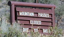
Mountain Highway Closures
Where is Snow in California?
a list of snowy destinations
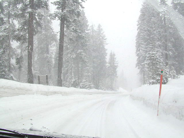
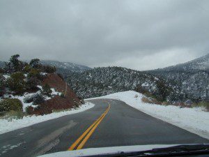
Okay, okay ….so it’s nothing like East Coast Winters, but hey, some parts of California do get some serious snow. And the newbies who don’t prepare for it will be sorry. On the winter vacation travels – be prepared for almost anything, especially in snowy Sierra’s & Northern California.
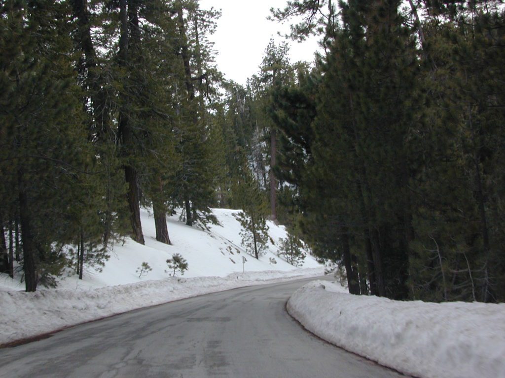
California Winters:
When does winter actually ‘set in’ for California?
- eastern sierra: OCT- MAY
- western sierra: NOV- APR
- high sierra: SEPT- MAY
- north coast: OCT- MAY
- north cal: OCT- APR
 Timing Planning Your Trip
Always Bring Tire Chains
Snow Chains
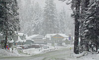
 The following mountain roads are partially closed or totally closed during winter months. Always check road conditions before you leave for your trip. Snow Chains may be required!
Sierra Passes and Mountain Roads
| Hwy or Road | County / Area | Connecting Towns |
| Sherman’s Pass #22S05 | Kern Co. / Southern Sierra | Kernville – Kennedy Mdws |
| Highway 155 | Kern Co. / Southern Sierra | Alta Sierra – Wofford Heights |
| Western Divide Hwy 190 | Tulare Co. / Southern Sierra | Kernville – Ponderosa |
| Mineral King Road (M 375) | Tulare Co. / Sequoia NP | Three Rivers – Mineral King |
| Highway 180 | Tulare Co. / Kings Cyn. NP | Hume Lake – Cedar Grove |
| Whitney Portal Rd. | Inyo Co. / Eastern Sierra | Lone Pine – Mt. Whitney |
| Onion Valley Rd. | Inyo Co. / Eastern Sierra | Independence – Onion Valley |
| Glacier Lodge Rd. | Inyo Co. / Eastern Sierra | Big Pine – Glacier Lodge |
| Hwy 168 | Inyo Co. / E Sierra – Bishop | Highway 168 – South Lake |
| Hwy 168 | Fresno Co. / W Sierra – Shaver Lake | Highway 168 |
| Hwy 120 | Mariposa Co. / Yosemite NP | Yosemite Valley – Lee Vining |
| Highway 120 | Mono Co. / Mono Lake | Tioga Pass- Benton Hot Springs |
| Highway 108 | Mono Co. / Sonora Pass | Dardanelle – Sonora Jct. Hwy.395 |
| Highway 89 | Alpine Co. / Eastern Sierra | Markleeville – Lake Topaz, Hwy 395 |
| Highway 4 | Alpine Co. / Sierra – So. Tahoe | Lake Alpine – Highway 89 |
| Quincy LaPorte Road [120] | Plumas Co. / Sierra Nevada | Quincy – La Porte |
| Oroville Quincy Hwy [119] | Plumas Co. / Sierra Nevada | Berry Creek – Bucks Lake – Quincy |
| Highway 36 | Tehama Co. / Lassen NP | Red Bluff – Susanville |
| Highway 44 | Shasta Co. / Lassen NP | Redding – Susanville |
| Highway 299 | Shasta County / Burney | Redding – Alturas |