Kings Canyon Backpacking
- fire permits are required
- permits are required for overnight backcountry camping
- check with the correct ranger district for all back country
camping restrictions
Trailhead parking spots located at:
Moraine Campground [with Copper Creek trailhead nearby]
WILDERNESS INFORMATION - Wilderness Trip Planner
Kings Canyon Campgrounds
Most campgrounds in Kings Canyon National Park are fairly large, with fees, paved roads and require advanced reservations in the summertime.
| campground |
elev. |
spots |
veg |
toilet |
water |
link |
open |
| Canyon View Group Sites |
4600' |
37 |
- |
flush |
piped |
NPS |
June
- Sept |
| Moraine Campground |
4600' |
120 |
- |
flush |
piped |
NPS |
May-Oct |
| Sentinel Campground |
4600' |
82 |
- |
flush |
piped |
NPS |
May-Oct |

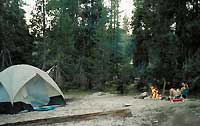
Primitive
Camping
No dispersed car camping allowed inside the National Park boundary. The best, free, primitive camping option is on National Forest roads (accessible my most passenger cars).
BIG MEADOWS ROAD:
Get a good map and try Big Meadow Road #14S11, off Sequoia Highway 198.
This section of Sequoia National Forest is located in between both National Parks (Kings Canyon & Sequoia). The National Forest is now considered the Giant Sequoia National Monument.
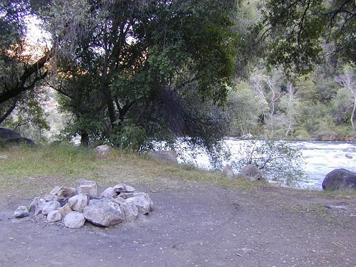
KINGS RIVER CAMPING:
A very rough dirt road (Road #12S01) leads from Kings Hwy 180, down to the lower King River, where there are numerous small campgrounds and primitive camping options on both sides of the river. This road requires high clearance, and possibly 4WD during wet/snowy weather.
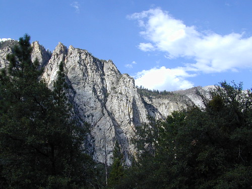
Kings Canyon Hiking
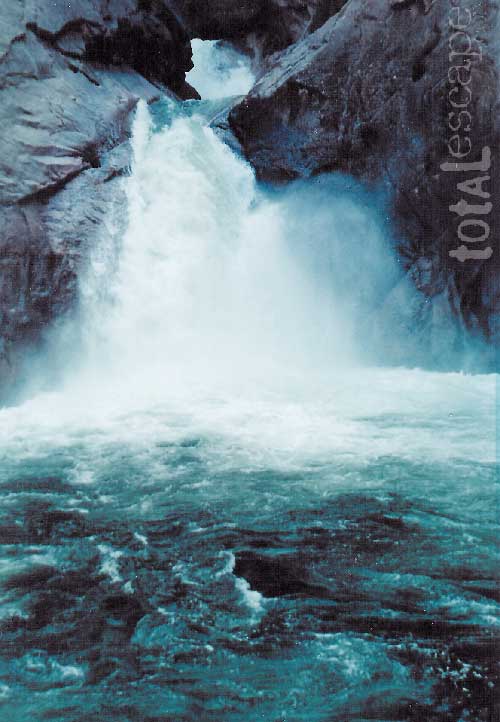
Grizzly Falls & Roaring River Falls
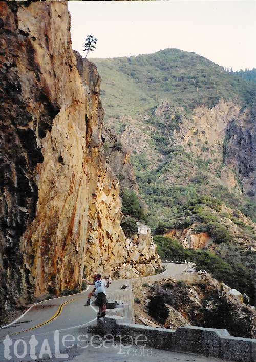
From Fresno take Hwy. 180, approximately 50 miles east to the
Big Stump Entrance Station. Take 180 to the left (north). Passing
thru a few Sequoia groves, continue until you enter King Canyon
NP. The South Branch of King River will be visible.
Grizzly Falls will be on your left & marked with a parking
area.
Continue on Hwy. 180 about 7 more miles to the parking area for
Roaring River Falls with a short, well-maintained trail to falls.
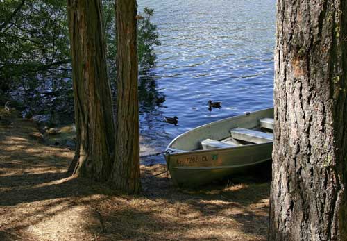
Lakes & Rivers Kings Canyon
Hume Lake
Pine Flat Reservoir
Kings River
Blackrock Reservoir
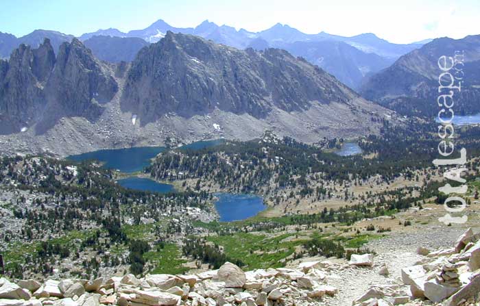
Rae Lakes @ Kearsarge Pass