Advertisement
Activities | Camp
| Camping | Destinations
| Mountains | California
State Parks
state.park.palomar
Clear views to downtown San Diego, the Pacific ocean spanning northward to encompass Catalina Island vistas, off the coast of Orange County; Dense fog is quite common on Palomar Mountain at any time of the year. With the Palomar peak sitting at an elevation of 6140' above sea level, the moist clouds get trapped up against the western slopes. The Pala indians have citrus groves, agriculture and a casino on the south slope of Mount Palomar. Temecula wine country, along with golf courses, are located on the north side of the range.
Palomar Mountain cabin rentals are available in the vicinity. This mountain location is known for the famous Palomar Observatory, plus it has recently been top rated for 'family camping' from some big outdoor magazine, so now you know - this area is not a secret anymore. If you want secluded camping anywhere around these parts, try the boulder and oak canyons of Indian Flats Campground near Warner Springs, CA.

Palomar Mountain
State Park Ranger
760-742-3462


nearby towns w/ lodging:
|
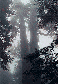
photo credit - Morris Neer
|
|

Palomar Backpacking
- fire permits are required
& in some seasons, no fires are allowed in backcountry
- permits are required for overnight backcountry camping
-
 check with the correct ranger district for all back country camping
restrictions
check with the correct ranger district for all back country camping
restrictions
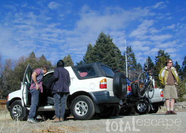
Palomar Back Roads
Nate Harrison Grade is a dirt road that goes from pine filled forest of Palomar Mt. State Park
down thru oak chapparel, winding switchbacks, manzanita bushes&
end up in the rows of the citrus groves. Nice scenery over an
agricultural green valley of the fast fading SoCal rural regions.
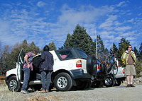
This road is popular with the SUVs, as well as jeeps,
& even the local "mountain boarders" (off-road skateboards). And for giggles, we found another local web site warning: Unless you're driving a super rugged vehicle, do not attempt to come up Nate Harrison Grade.


Palomar Campgrounds
camp tip - surrounding areas also have camping, at lower elevations, like Lake Henshaw,
Cleveland NF &
Anza Borrego Desert Park
|
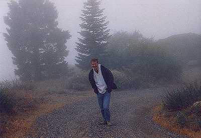
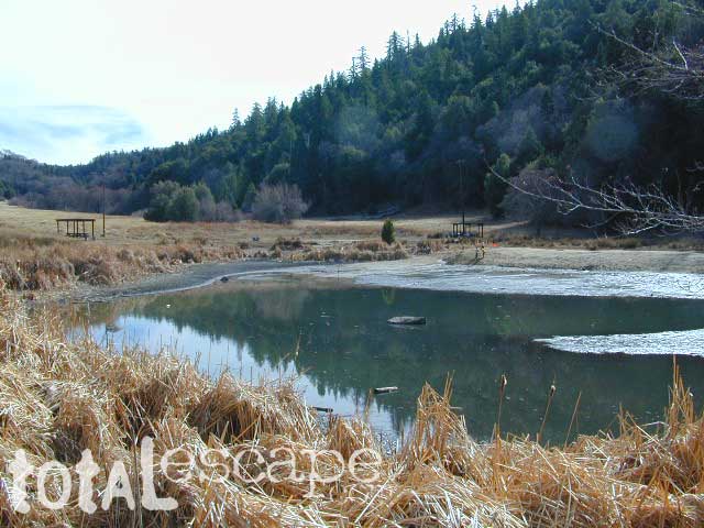
Fog is prevalent on this range, with extreme limited visibility at times.
|

Primitive Camping

This area is a typically dry SoCal region, with high fire risk,
therefore no primitive car camping is allowed. The majority of
the dirt roads are closed off to public use, due to the high
fire dangers.
For the areas best 'primitive' open camping options, try Anza Borrego Desert State Park
|
|
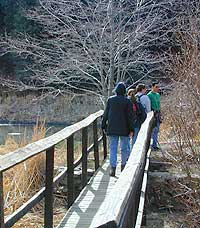
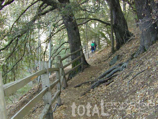
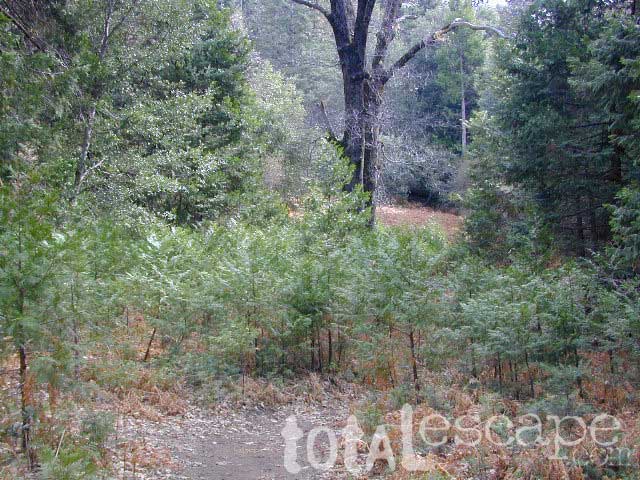
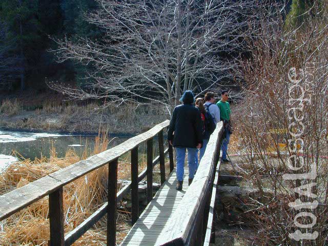
Palomar Hiking
Day hiking in the region can be anything from a simple nature walk with the kids, to a full day peak adventure. Most trails start from State Park or the Observatory area. The west coast's popular PCT (Pacific Crest Trail) does not cross the mountain of Palomar, but comes near it to the east at Indian Flats Campground, near the community of Warner Springs.
best web sites for trail info:
|
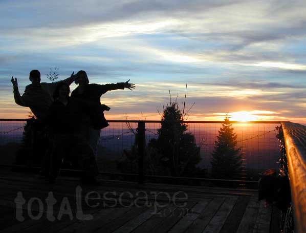
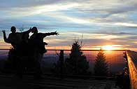 Some of the best San Diego sunsets can be seen from a top this mountain range. Views go from Catalina Island south to Baja California Mexico & maybe even sometimes the Salton Sea near the south end of Anza Borrego State Park.
|
View Larger Map
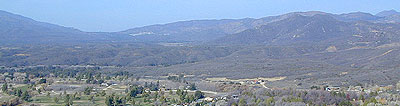
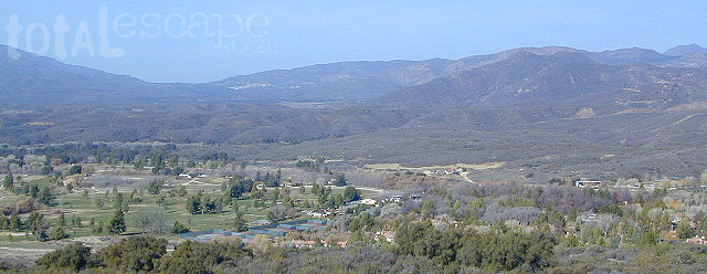
Over looking Warner Springs Valley toward the West, with Palomar Mountain in the distance on the right side.
(click photo to enlarge)