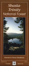
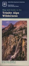
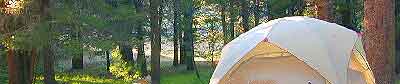
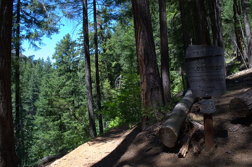
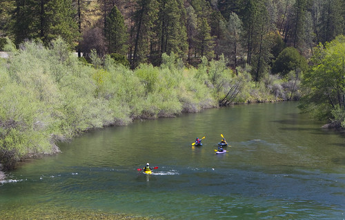
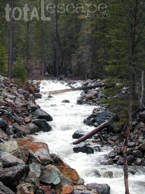
Trinity River rages along rural Highway 3, into Trinity Lake in Northern California. The 8000' peaks of Trinity Wilderness sit to the West of Trinity Alps, then river, lake and more mountains to the East. Water flows wild here & flows hard. The huge reservoir has a red dirt shoreline, recreational boating and camping. This lake is subject to low lake levels. Big pines & impressive waterfalls. Lotsa rainy daze & rainbows. Summer can be gorgeous, but hot at times.
trinity center, California
Mountain

terrain:
reservoir surrounded by pine forests & lush vegetation. tall mountain peaks all around. creeks, river
View Larger Map


recreation:

parks, forests, rivers & lakes:

trinity center campgrounds
Hayward Flat Campground
Fawn Campground Trinity Lake
Alpine View @ Trinity Lake
Tannery Gulch Campground
Trinity Lake KOA Campground

description:
This place is the recreational hub and forested community of Trinity Lake. Located on Highway 3, right next to the Clair Engle Reservoir (the old name referenced on older maps) and on the Trinity River. Vacation cabins, houseboats, numerous campgrounds. Trinity Center Airport, Trinity Lake, Boat Rentals, Rafting, Museum & high speed internet. Historic Weaverville is the nearest 'big town' to the south, where (north-south) Hwy 3 meets (east-west) Hwy 299.

local links:
Trinity Lake Alliance
http://northtrinitylake.com/
Scott Museum Trinity Center
Coffee Creek Ranch
Coffee Creek Rafting & Kayaking
Clair Engle Reservoir
California State Route 3
Alpen Cellars
Bowerman Barn & Ranch
Trinity Center General Store
Circle T Cabins
Trinity Lake Resort & Marina
Trinity Alps Wilderness Map
Shasta-Trinity National Forest Map
Trinity Transit Bus (299)
Trinity Alps Photos
Advertisement
Total Escape has been an AmazonAssociate for 20+ years!
Earnings from purchases keeps this site alive.
Copyright © 1996-2023 Total Escape, totalescape.com / All Rights Reserved.
classic | lodge | recreation | destinations | journey | ads | sitemap | outside | maps | gear | mobile